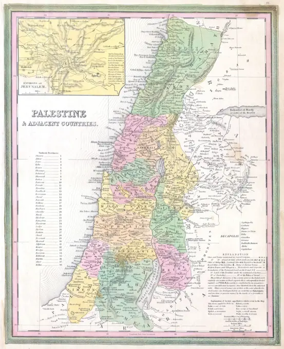
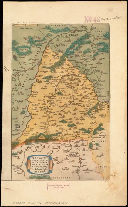
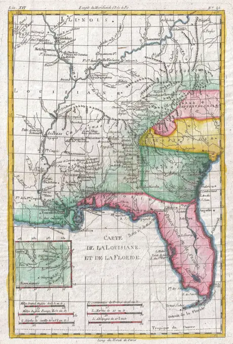
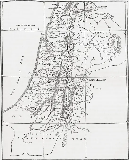
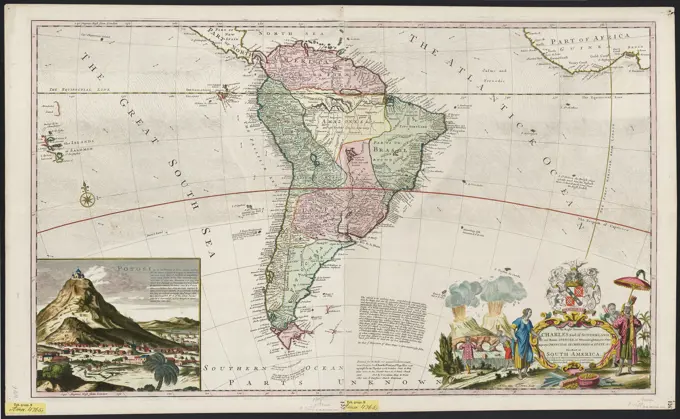
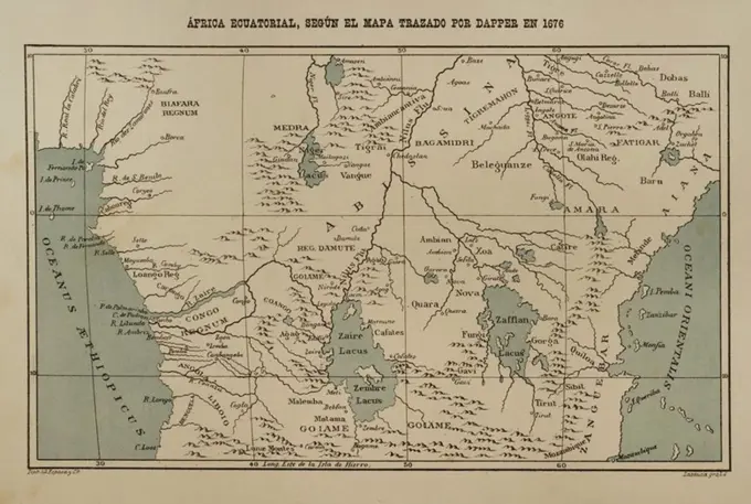
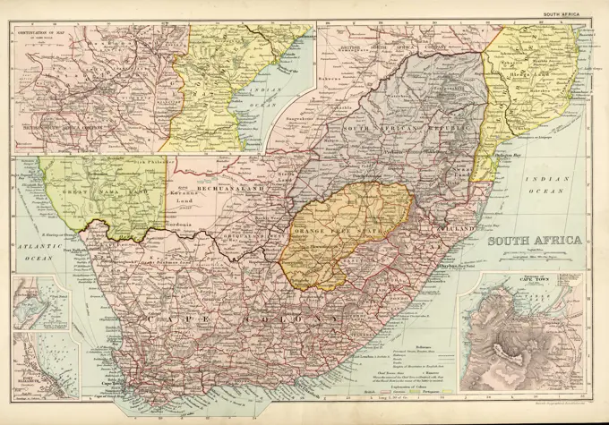
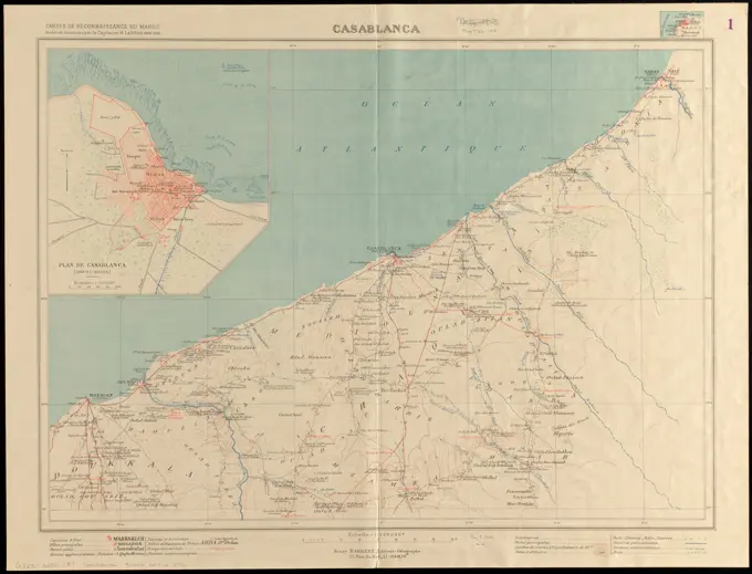
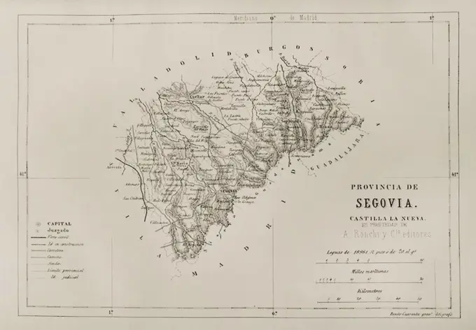
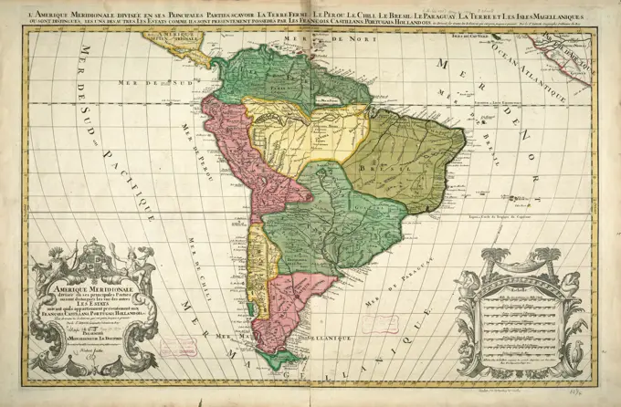
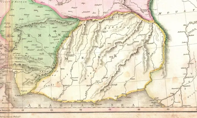
Historical Maps Of Western Regions
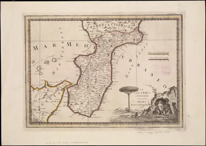
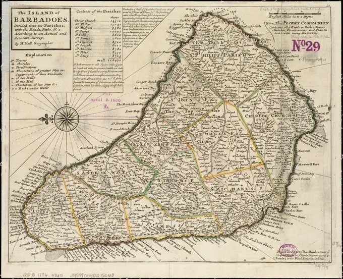
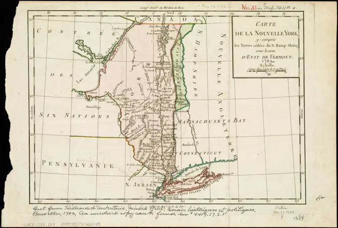
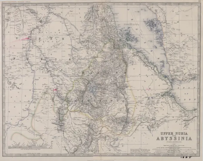
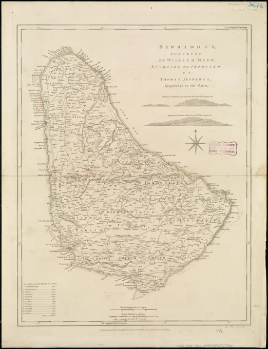
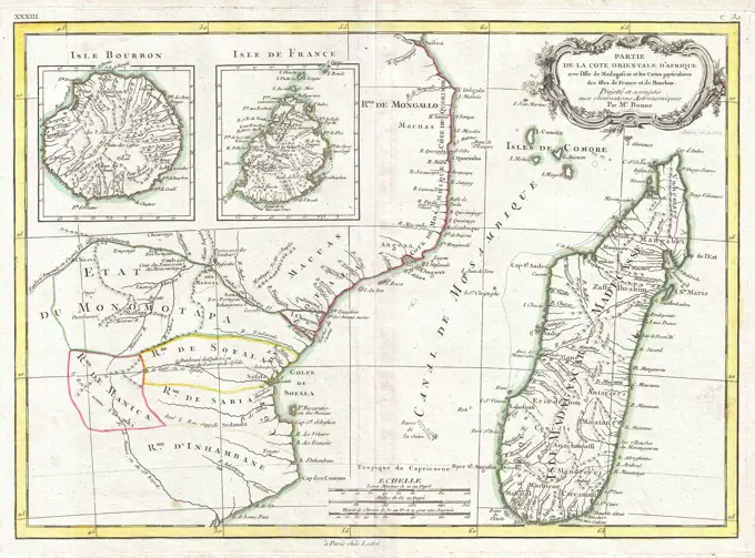
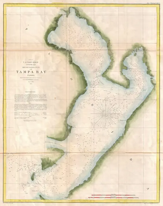
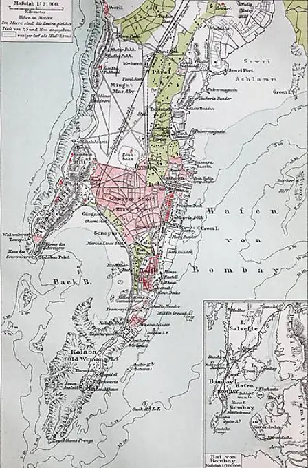
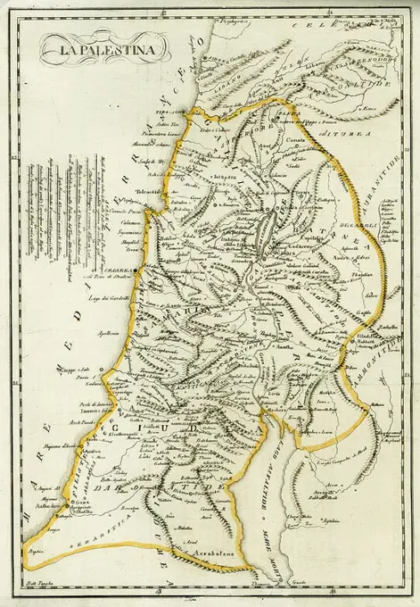
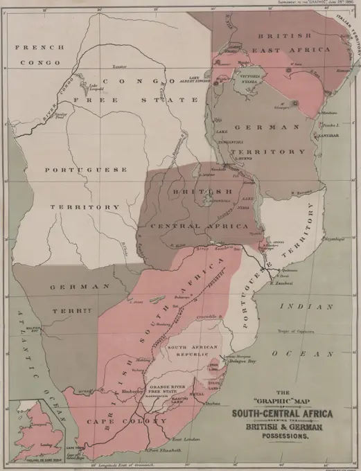
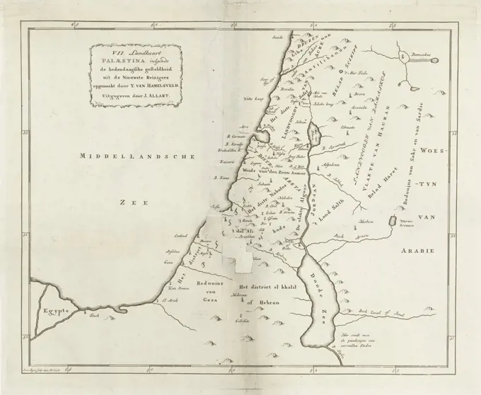
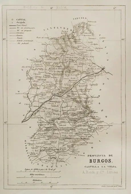
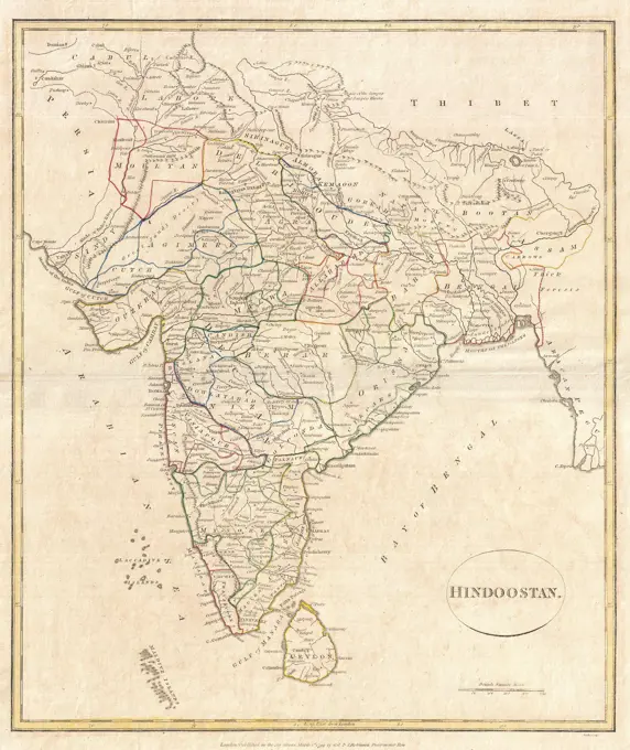
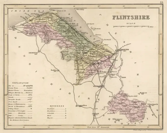
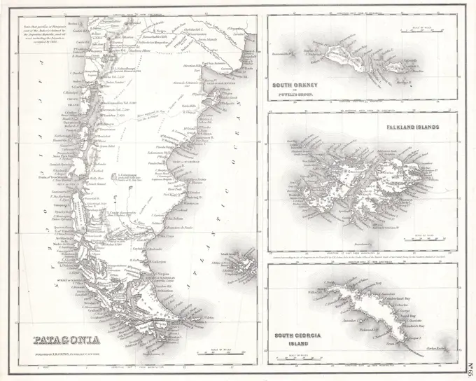
A collection of 18th and 19th-century maps depicting various regions, including Southern France, Italy, Barbados, and South Africa, highlighting geographic features and divisions.

A collection of 18th and 19th-century maps depicting various regions, including Southern France, Italy, Barbados, and South Africa, highlighting geographic features and divisions.