Historical Military Maps

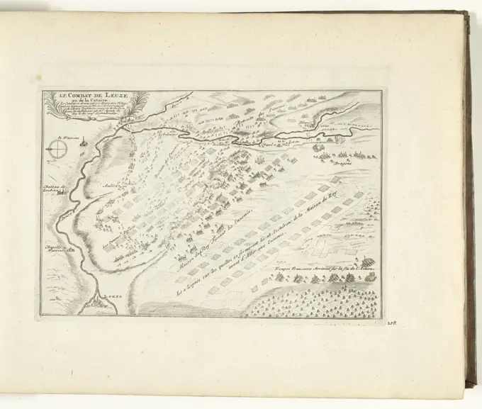
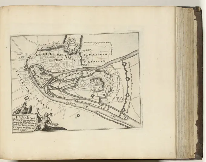
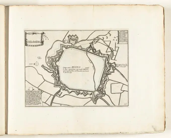
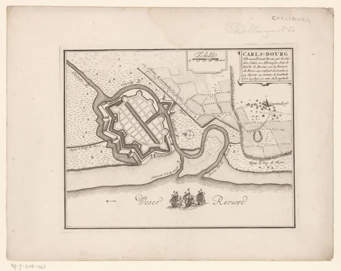
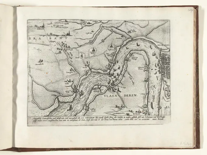
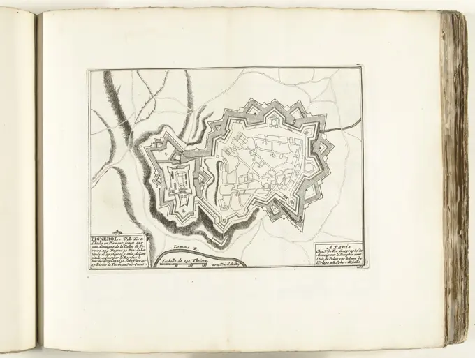
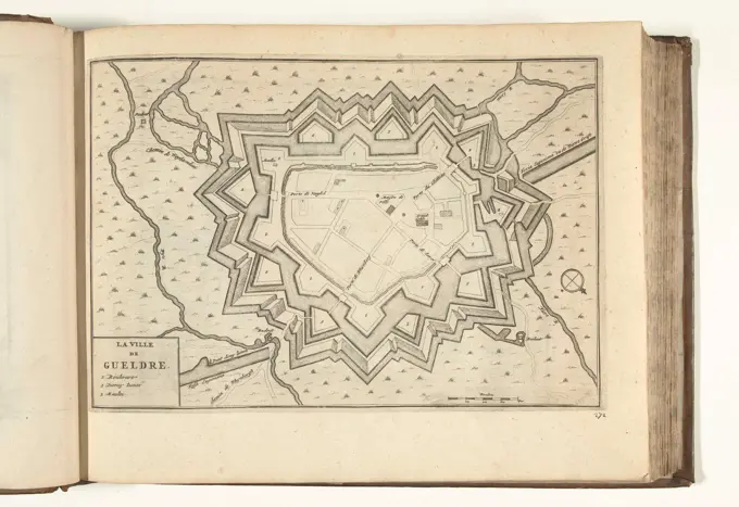
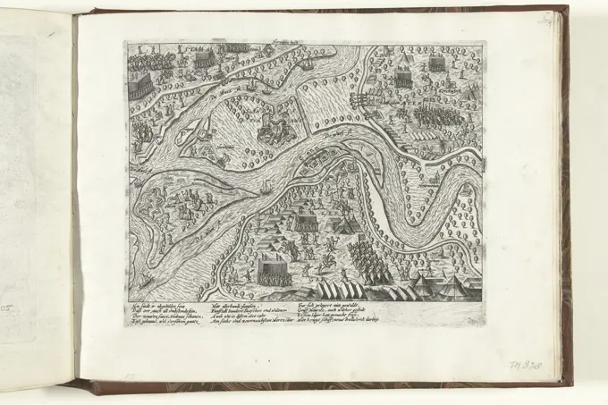
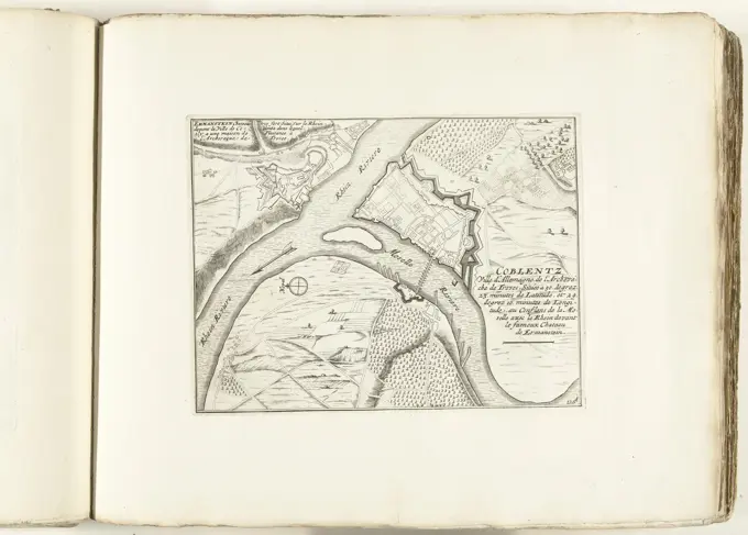
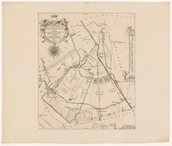
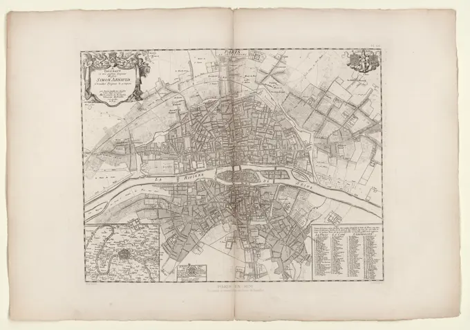
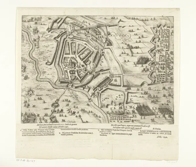
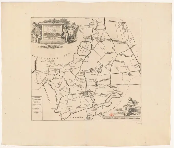
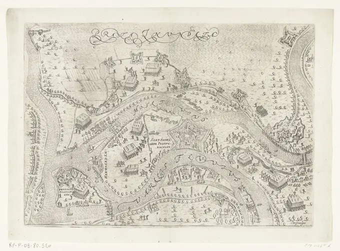
Historical maps depicting city defenses and military strategies during wars, highlighting locations like Limburg and Antwerp from the 17th and 18th centuries.

Vesting map of Waten, Anonymous, 1652 print Map of Wats with the newly built fortifications. At the top left a legend A-m. On the left edge, in the middle, a bowl: Eschelle de 200 toises. At the top right a bet with above a map of the surroundings of wats and below a face on wats. With Dutch text on Verso.  paper etching / engraving / letterpress printing maps of separate countries or regions. maps of cities. prospect of city, town panorama, silhouette of city. fortified city Wade
Vesting map of Waten, Anonymous, 1652 print Map of Wats with the newly built fortifications. At the top left a legend A-m. On the left edge, in the middle, a bowl: Eschelle de 200 toises. At the top right a bet with above a map of the surroundings of wats and below a face on wats. With Dutch text on Verso. paper etching / engraving / letterpress printing maps of separate countries or regions. maps of cities. prospect of city, town panorama, silhouette of city. fortified city Wade