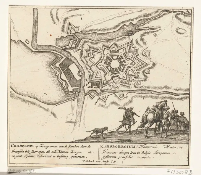
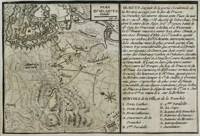
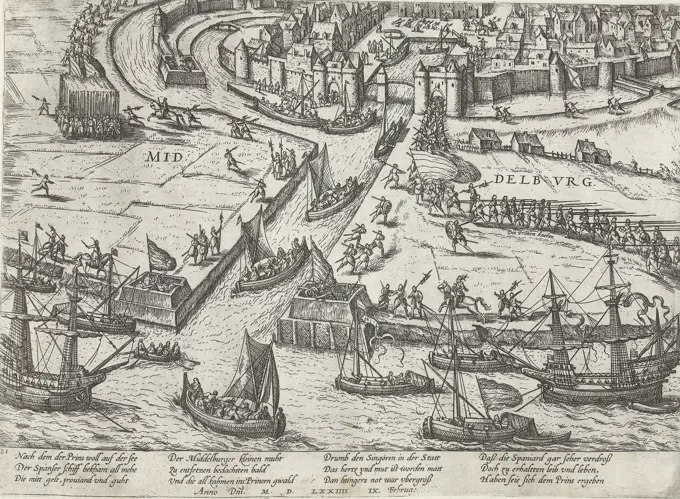
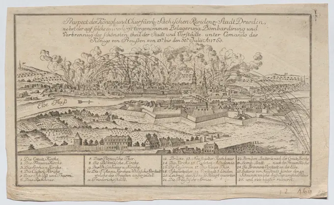
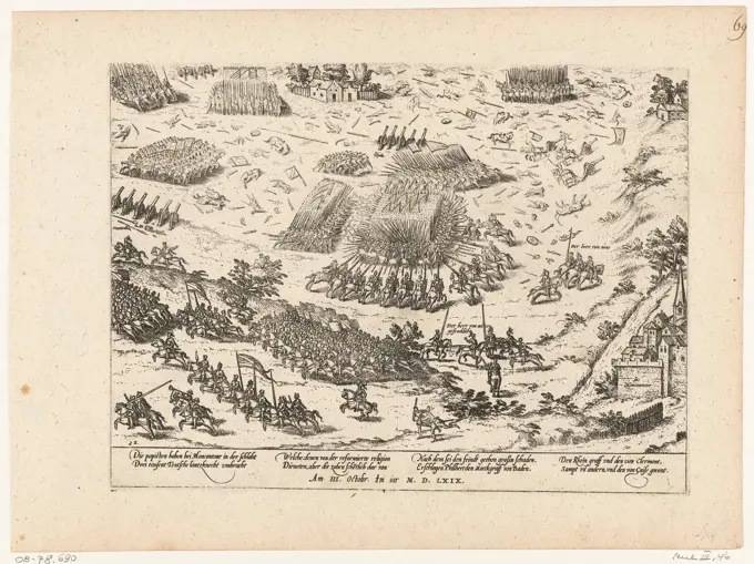
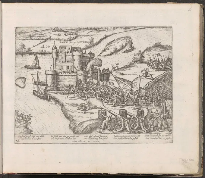
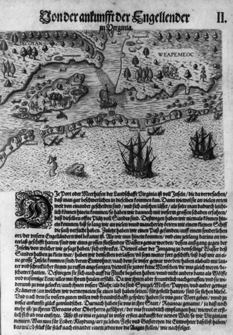
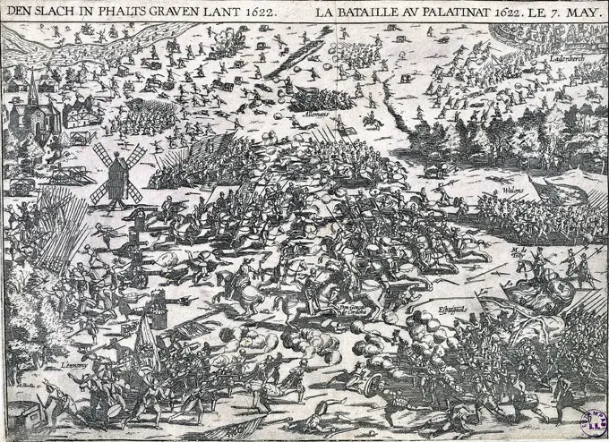
Historical Military Maps

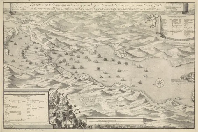
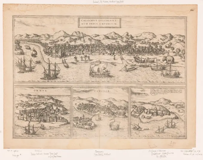
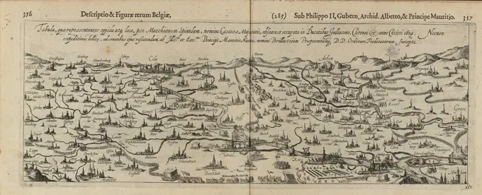
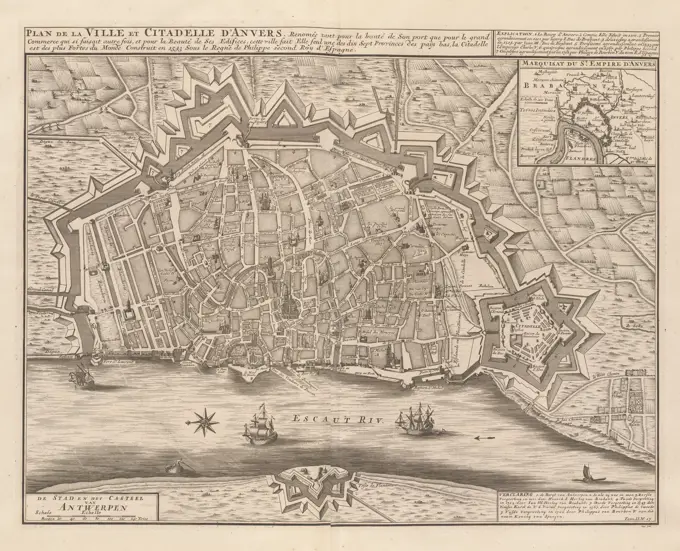
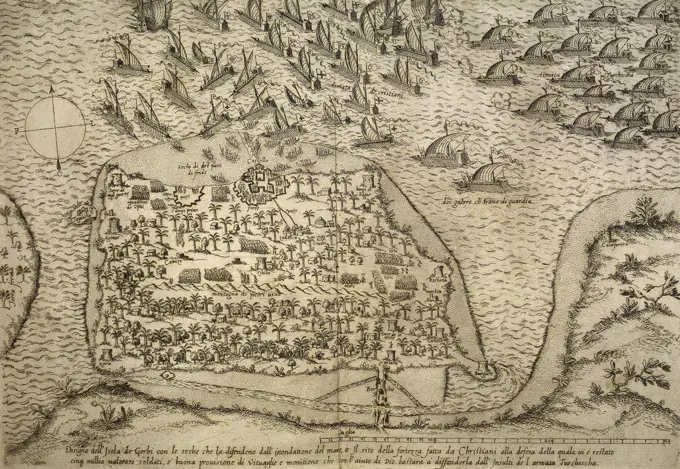
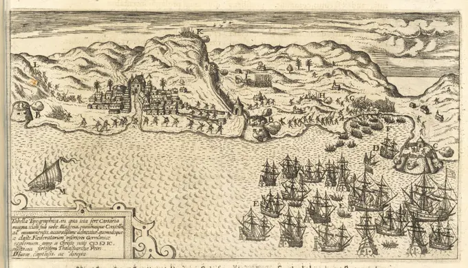
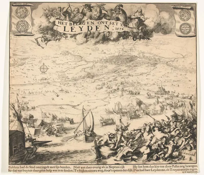
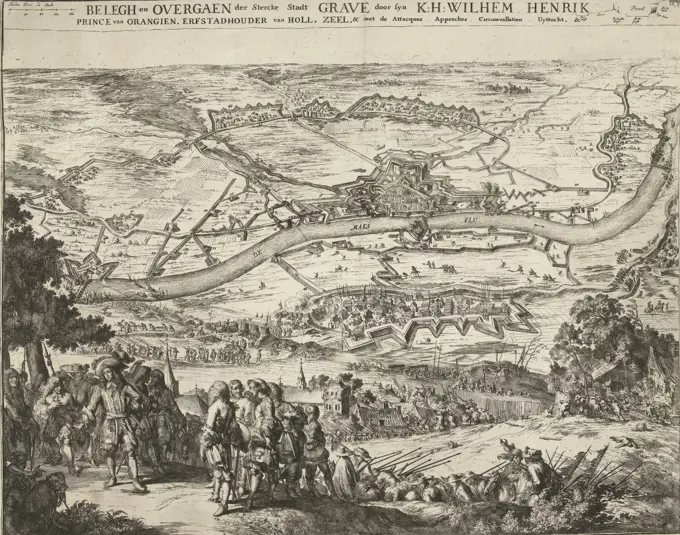
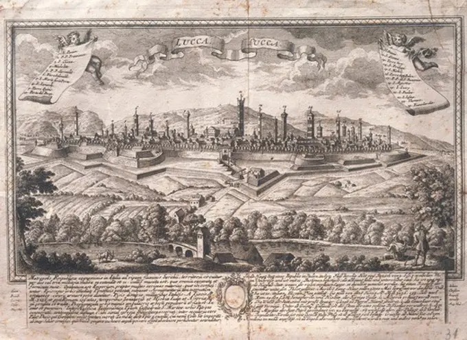
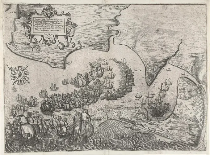
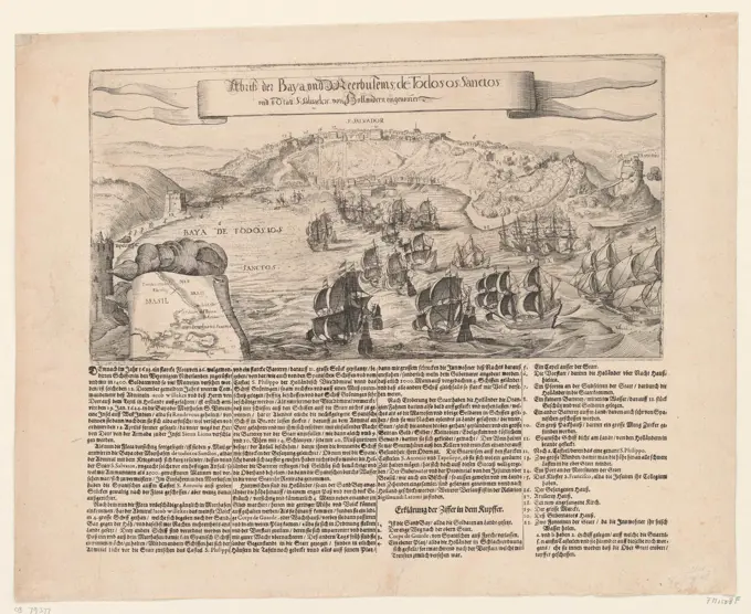
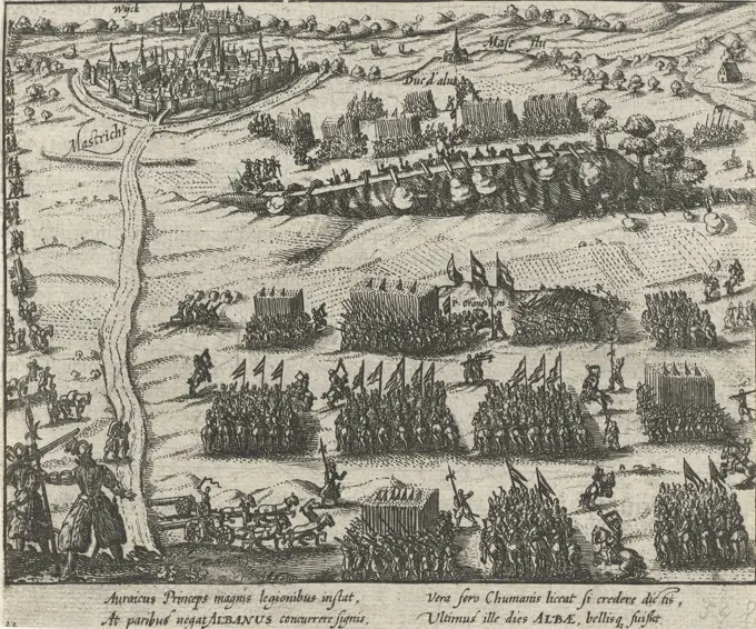
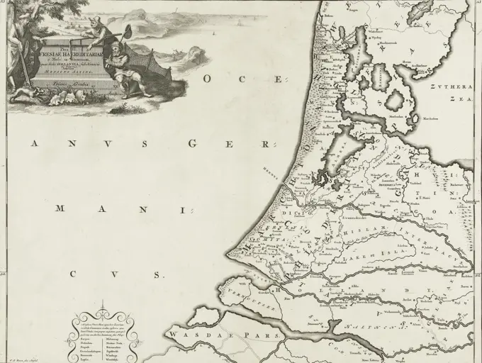
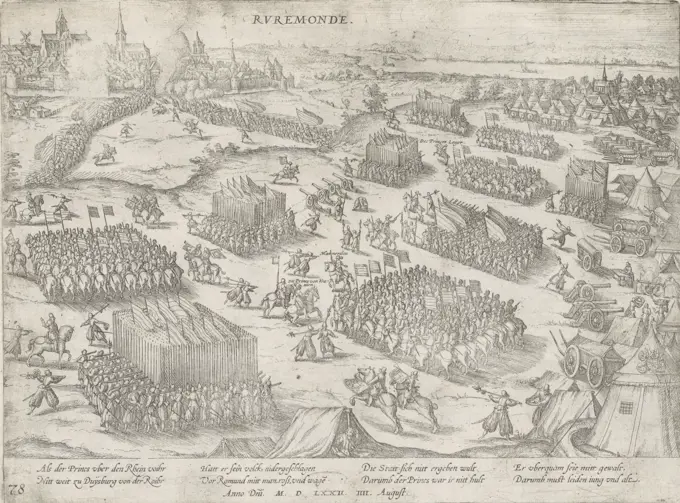
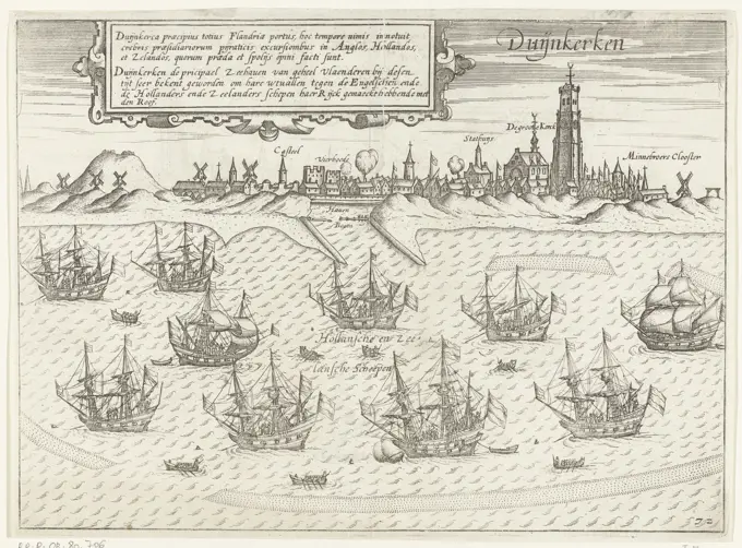
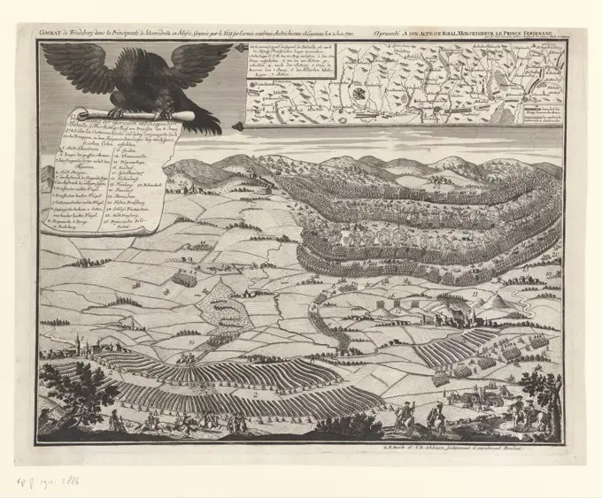
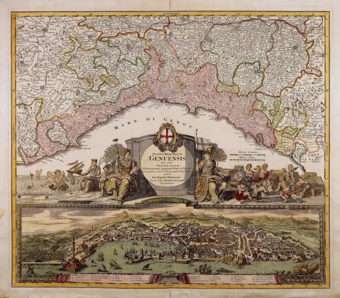
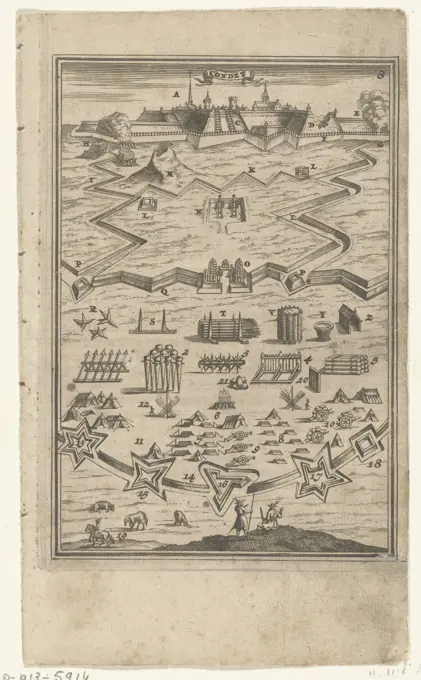
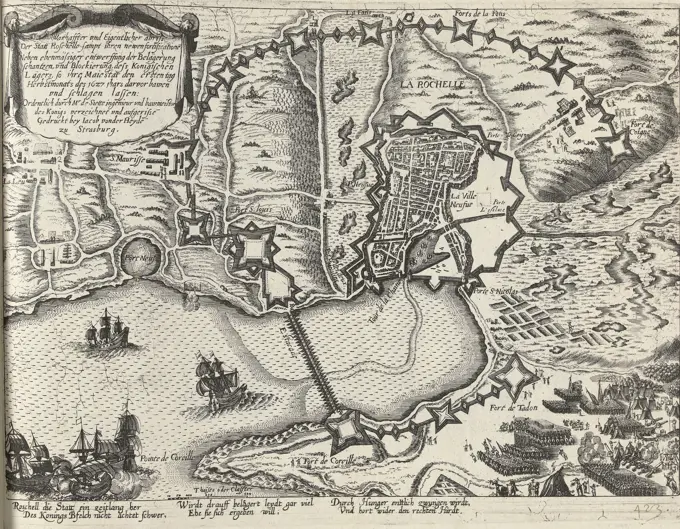
A collection of historical maps depicting military sieges, battles, and city captures from the 16th to 18th centuries, showcasing intricate details and war strategies.

Strasbourg, Heyden, Jacob van der, Cologne, Hogenberg, French, Series 11: Varia Foreign Events, 1571-1631, Warlords and their own abriss of the city Roschelle discovered their new fortifications in addition to the increased construction of the besieging Schantzen 1627, Plan of La Rochelle and environs, 1627, recto lower right within the plate border - written, Plan of La Rochelle and environs with the new redoubts and fortifications built during the siege of the royal troops of Louis XIII, 1 September 1627. With a 6-line caption in German. Numbered in pen lower right: 423. The print is part of an album., print, prent, nieuwsprent, albumblad, prints, prenten, Frederik Muller Historieplaten, 423, height 246 mm, width 322 mm, Dutch, German, 1540 - 1590, print maker, printmaker, 1627 - 1629, second quarter 17th century, paper, papier, etching, etchings, Zuid-Nederlands (before 1775), 1573 - 1645, printer, drukker