Historical Property Maps of Manhattan
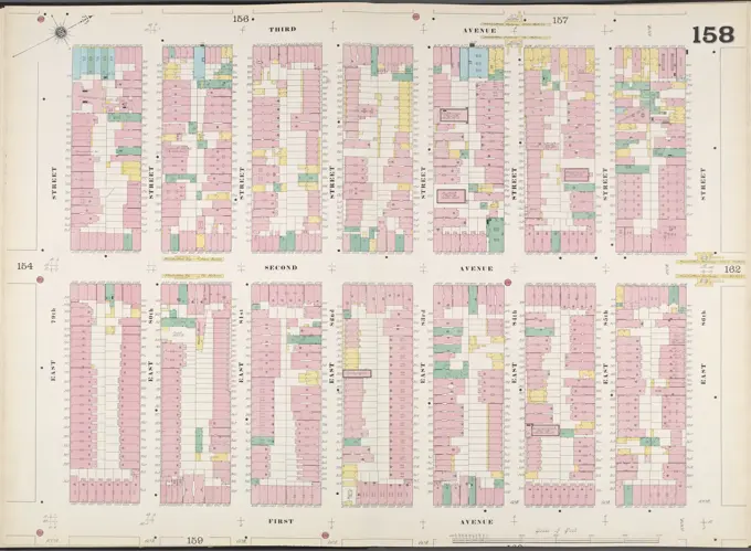
Detailed cartographic maps from 1925 and 1916 showing sections of Manhattan, filled with real estate data and vibrant coloring, highlighting urban development.

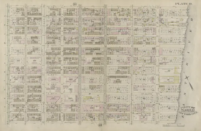
Detailed cartographic maps from 1925 and 1916 showing sections of Manhattan, filled with real estate data and vibrant coloring, highlighting urban development.