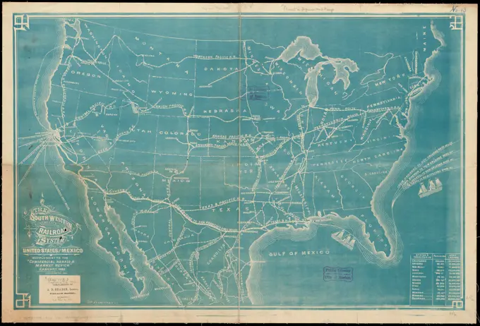
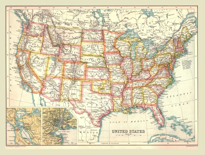
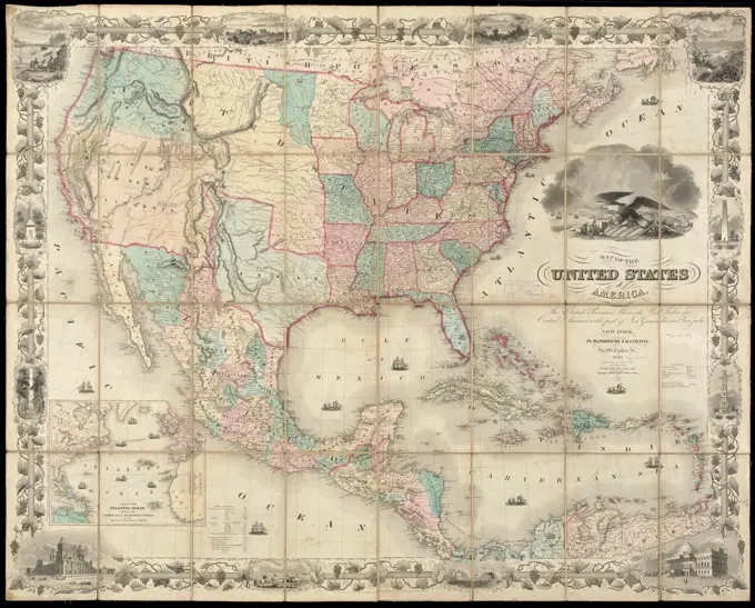
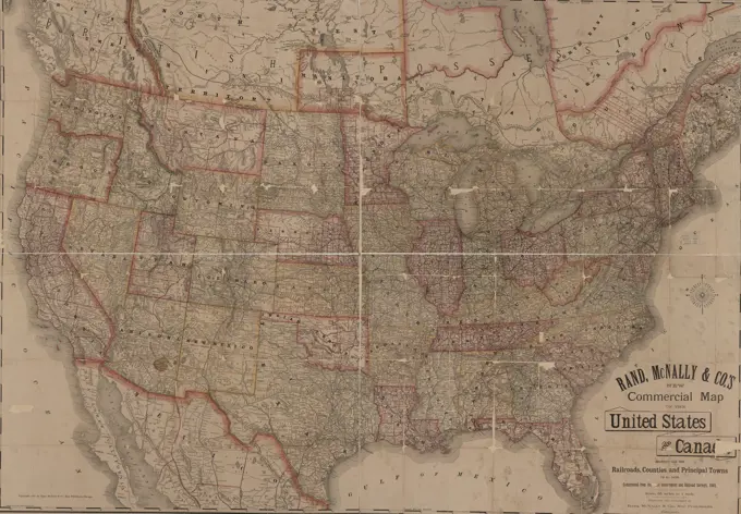
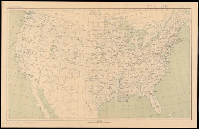
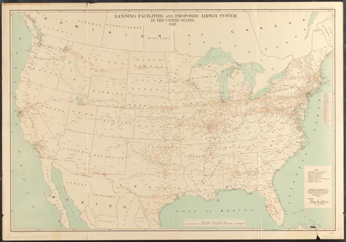
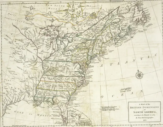
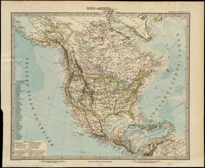
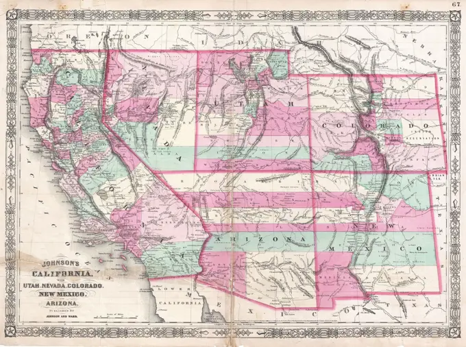
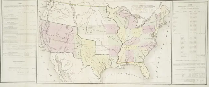
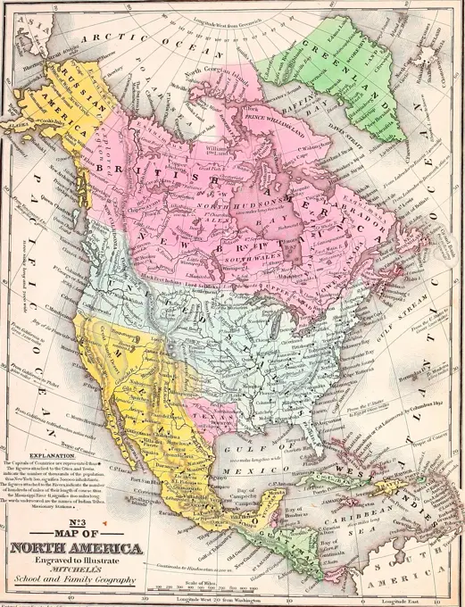
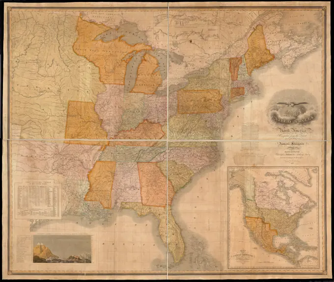
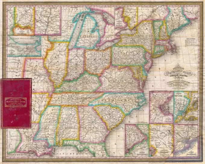
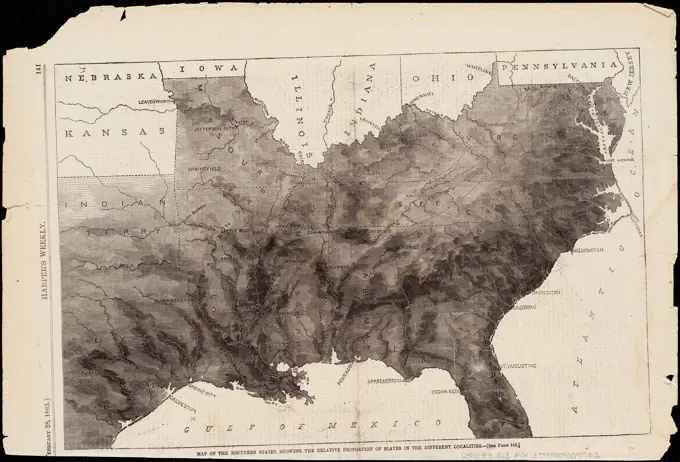
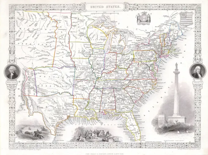
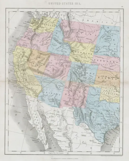
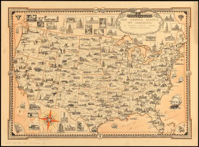
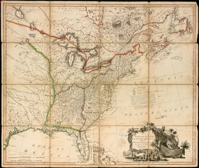
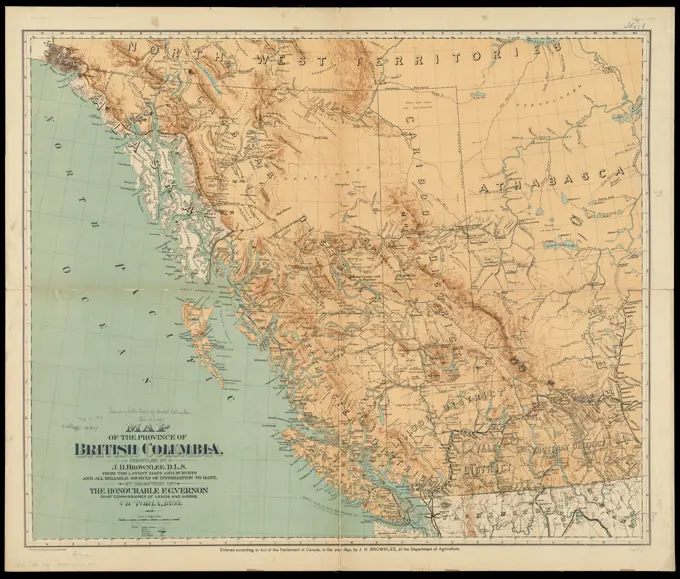
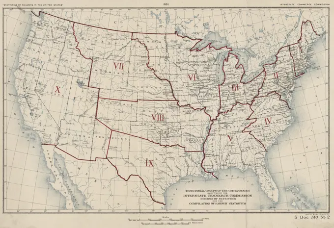
Historical United States Maps

A collection of historical maps depicting military locations, state boundaries, and terrain in the United States, featuring intricate details and various color schemes.

A colored map depicting the territorial groups of the United States as adopted by the Interstate Commerce Commission Division of Statistics for the compilation of railway statistics. The map was issued in 1895 and shows the administrative and political divisions related to railroads. It measures 19 x 30 cm and was published in Washington, D.C. by the Interstate Commerce Commission and lithographed by Julius Bien & Co