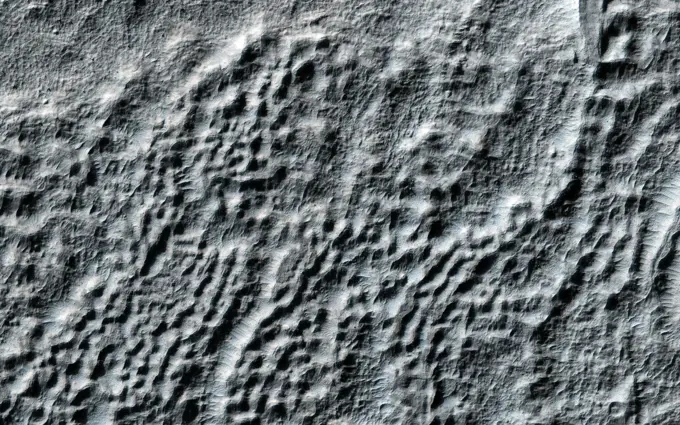
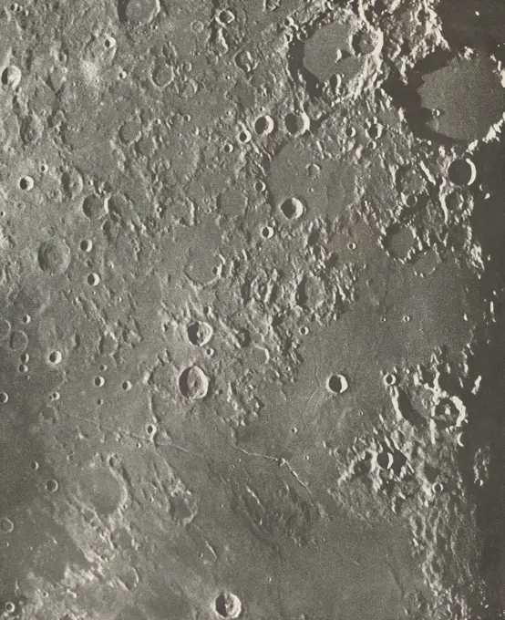
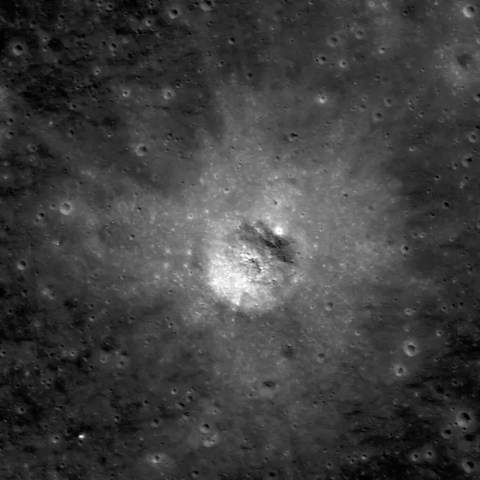
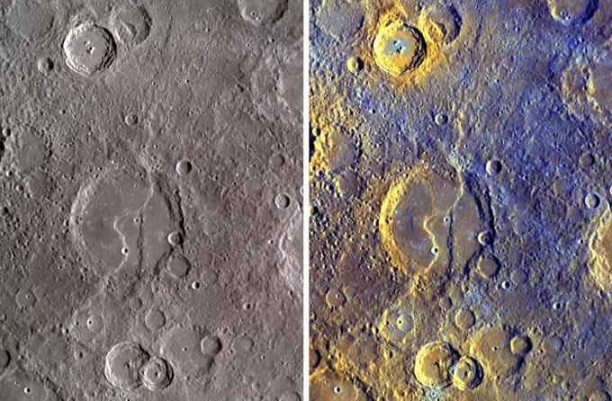
My Boards
View Pictures
  • My Boards
← Science

Lunar Impact Craters and Surfaces

High-resolution images of lunar terrain featuring various impact craters, surface textures, and geological formations in grayscale. Evokes a sense of desolation and exploration.

And the Walls Came Tumbling Down
335 assets in this story
6145-44976142
This observation from NASA's Mars Reconnaissance Orbiter shows an excellent example of what is called 'fretted terrain,' termed so because of the eroded appearance of the surface.
6145-44506164
Pedestal Crater
6145-44807651
Tethys Polar Maps - February 2010
6145-45066473
Paint Me a Picture. This color view from NASA's MESSENGER spacecraft of Raditladi crater gives us a fresh view of the peak-ring basin.
6145-45099492
Global stereo mapping of Pluto's surface is now possible, as images taken from multiple directions are downlinked from NASA's New Horizons spacecraft. You will need 3D glasses to view this image showing an ancient, heavily cratered region of Pluto.
6145-44787775
Tip of the Crescent
6145-45070614
Crossing Paths
6145-52930296
ChemCam Mosaic of Gediz Vallis Ridge. NASA's Curiosity Mars rover used its ChemCam instrument to view boulders on Gediz Vallis Ridge Nov. 15 to 17, 2022, the 3,653rd to 3,655th Martian days, or sols, of the mission. These boulders are thought to have been washed down in a debris flows in the ancient past and are probably some of the youngest evidence of liquid water Curiosity will see on Mount Sharp. Curiosity has been ascending the foothills of the 3-mile-tall (5-kilometer-tall) mountain since 2014. Water ebbed and flowed on Mount Sharp billions of years ago, at times forming lakes and rivers that would dry up and flood repeatedly. Gediz Vallis is a part of the mountain where water once flowed down; Curiosity's scientists are interested in the ridge in part because it includes boulders like these that were washed down from much higher up the mountain, where Curiosity won't be able to reach. From left to right, the boulders depicted in the circles are approximately 984 feet (300 meters
6145-45236706
AS10-32-4819 (18-26 May 1969) --- An Apollo 10 northwestward oblique view of Triesnecker crater, centered near 3.6 degrees east longitude, and 4 degrees north latitude. HOLD PICTURE WITH SKY AT UPPER RIGHT. This picture, taken from the Command and Service Modules, shows terrain features typical of northeastern Central Bay. Beyond the highlands, the smooth floor of the Sea of Vapors extends almost to the horizon some 600 kilometers (375 statute miles) from the spacecraft. Triesnecker crater, about 27 kilometers (17 statute miles) in diameter, was 135 kilometers (85 statute miles) northwest of Apollo 10 when the picture was taken. The intersecting linear features to the right of Triesnecker crater are the Triesnecker Rilles.
6145-44751261
AS8-17-2704 (21-27 Dec. 1968) --- Near vertical view of the lunar farside as photographed from the Apollo 8 spacecraft. This crater, which is about 22 statute miles in diameter, is located at 167 degrees east longitude and 11 degrees south latitude. This crater is located on the eastern edge of a much larger unnamed crater which is about 90 statute miles in diameter.
6145-44775080
NASA's Lunar Reconnaissance Orbiter's looks at the Moon in 3D. 3D glasses are necessary to view this image.
6145-29876742
Loewy et Puiseux, Photographie Lunaire Albategnius  Triesnecker  Manilius, 1903 Photographie Lunaire Albategnius - Triesnecker - Manilius
6145-44729827
Mercury Shows Signs of Aging
6145-44708378
Young Cunningham Crater in Old Caloris Basin
6145-44564862
Mars digital-image mosaic merged with color of the MC-27 quadrangle, Noachis region of Mars. This image is from NASA's Viking Orbiter 1.
6145-45108037
This image from NASA's Mars Reconnaissance Orbiter spacecraft shows part of a broad plain covered with cratered cones and domes in the Northern lowlands of Mars.
6145-45035753
Apollodorus and the Pantheon
6145-45191841
Chang'e 3 (left, M147290066LR) and Chang'e 4 (right, M1303619844LR) are very similar in size and instrumentation. The Chang'e 3 image looks a bit fuzzier because the landing site is at 44° north latitude where the LRO orbit is about twice as far from the Moon relative to the Chang'e 4 site at 45° south latitude (1.6 meter pixels enlarged to 0.85 meter pixels; 5.2 feet vs. 2.8 feet). Each panel is 463 meters (1520 feet) wide, large arrows indicate landers and small arrows indicate rovers.
6145-45088819
Hollow Is It Me You're Looking For
1746-19670876
This crater in the floor of Van de Graaff crater has a high reflectance ejecta blanket.
6145-44707867
Dodo and Baby
6145-44724505
Mercury - in 3-D!
6145-44728726
An Intriguing Dark Halo
6145-44729297
Exposing Mercury's Colors
6145-44560495
Flow-ejecta Crater in Icaria Planum
6145-44856366
We've Got the NAC of It
6145-45100550
This image from NASA's Dawn spacecraft shows Occator Crater draped over a digital terrain model provides a 3-D-like perspective view of the impact structure.
6145-44484715
NASA's Mars Reconnaissance Orbiter captured this image of a meteoroid impact that was first detected by the agency's InSight lander using its seismometer. This crater was formed on Aug. 30, 2021. MRO's High Resolution Imaging Science Experiment (HiRISE) camera captured this scene in color. The ground is not actually blue; this enhanced-color image highlights certain hues in the scene to make details more visible to the human eye - in this case, dust and soil disturbed by the impact.
6145-44513729
South Polar Cap of Mars as seen by Mariners 9 & 7
6145-45060743
Bartok's Blues
6177-V53837453
6145-44484030
New impact craters on Mars are often darker than their surroundings and have lots of boulders in their interior. The crater in this image has all those attributes and looks like it may have occurred very recently; however, it's been seen in images dating back 50 years to the Mariner 9 mission. HiRISE has imaged this crater a few times (most recently in January 2022) to check for changes. We expect that over time the dark coloring will fade and many of the boulders will be buried by sand and dust. Learning how fast this process happens helps us understand changes on the Martian surface today. So far however, this crater has been rather persistent and shows little change from our first image in 2007.
6145-58967468
A Northern Footprint
6145-44713183
This anaglyph, acquired by NASA's Phoenix Lander on Jun. 10, 2008, shows a large rock called 'Winkies.' 3D glasses are necessary to view this image.
6145-44608365
This 3D anaglyph, from NASA's Mars Exploration Rover Spirit, shows a microscopic image taken of the rock called Adirondack. 3D glasses are necessary to view this image.
PREVIOUS
of 4
NEXT
2401 S. Ervay, Suite 206
Dallas, Texas 75215
United States
Get Started
Free ResearchMy BoardsMy Cart
For Creators
How To License Your ContentContributor PortalFrame of Mind
Resources
API accessPricing
Contact
+1 866 236 0087help@viewpictures.co.uk Contact form
©2026 View Pictures. All Rights Reserved. -A
This site is protected by reCAPTCHA and Google Privacy Policy and Terms of Service apply.