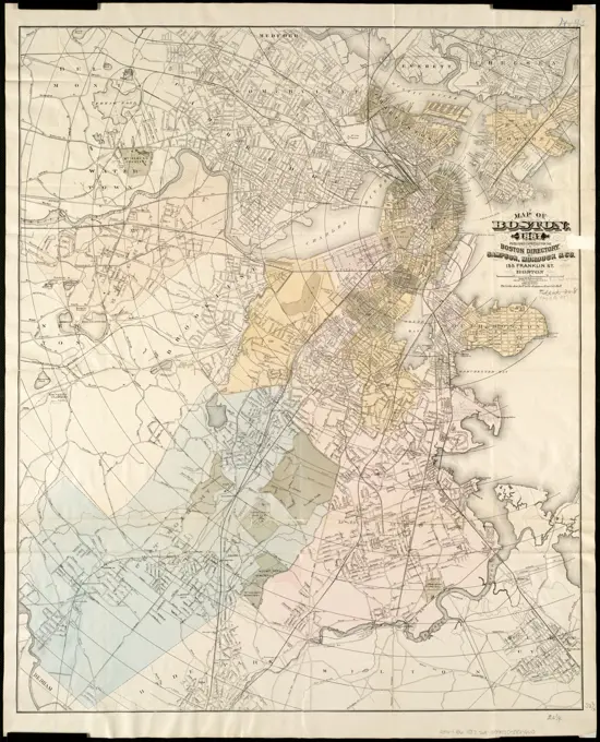
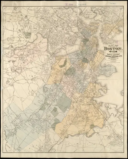
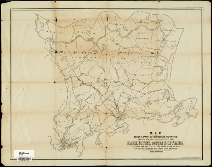
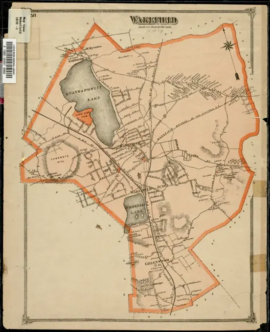
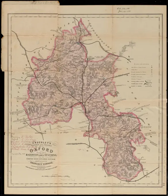
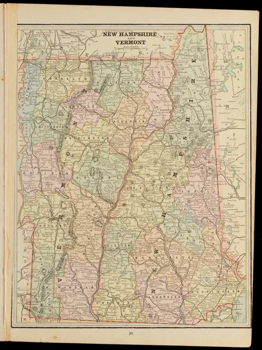
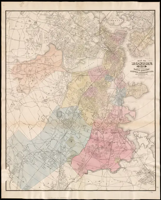
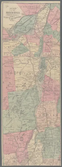
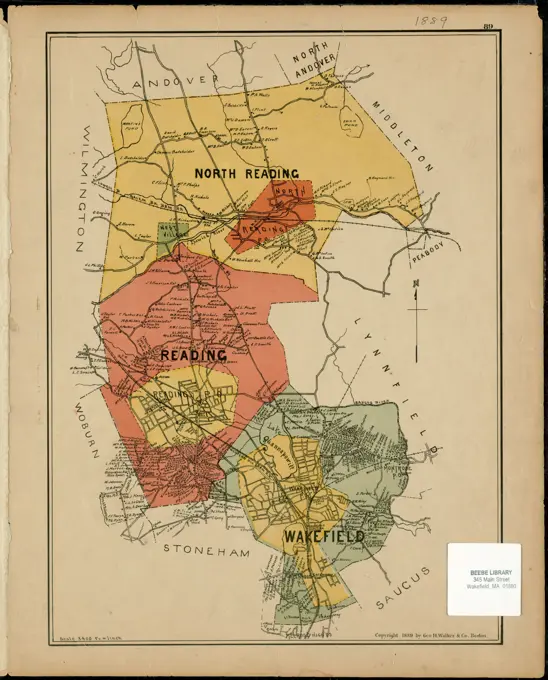
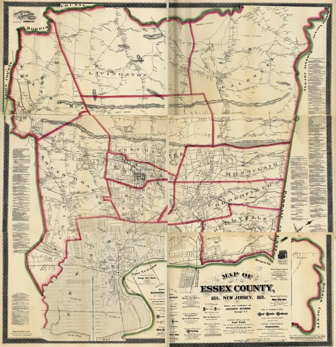
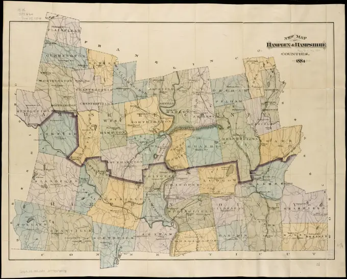
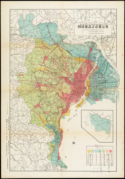
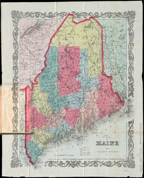
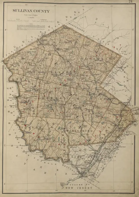
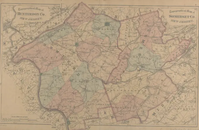
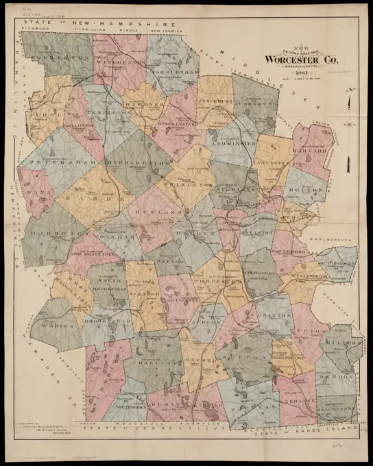
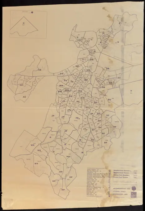
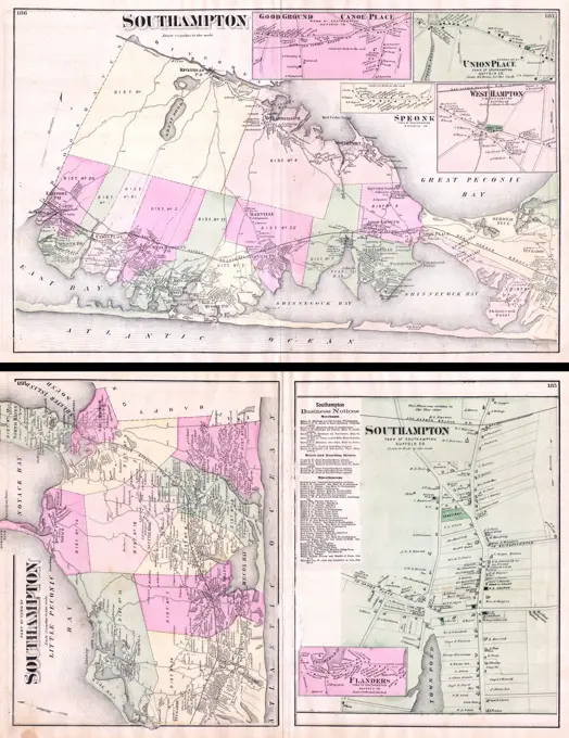
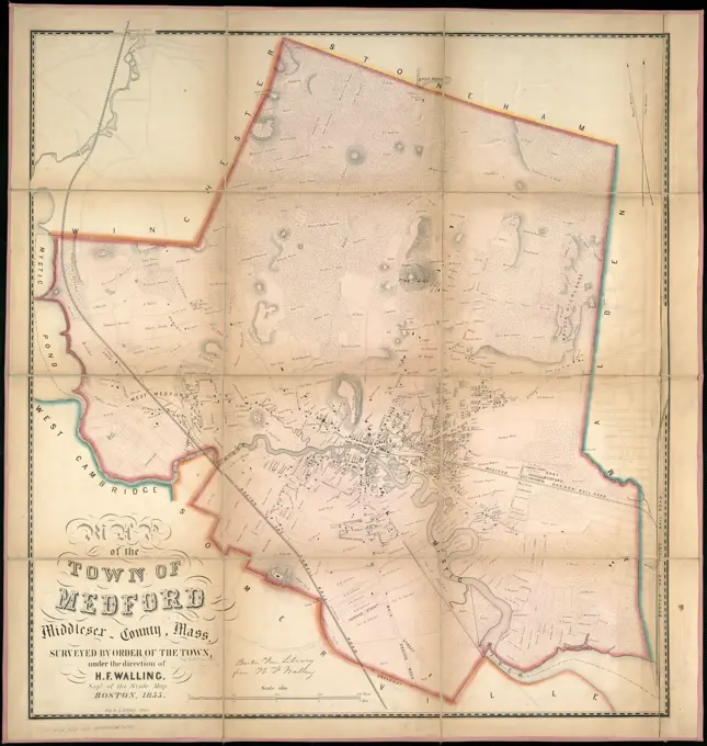
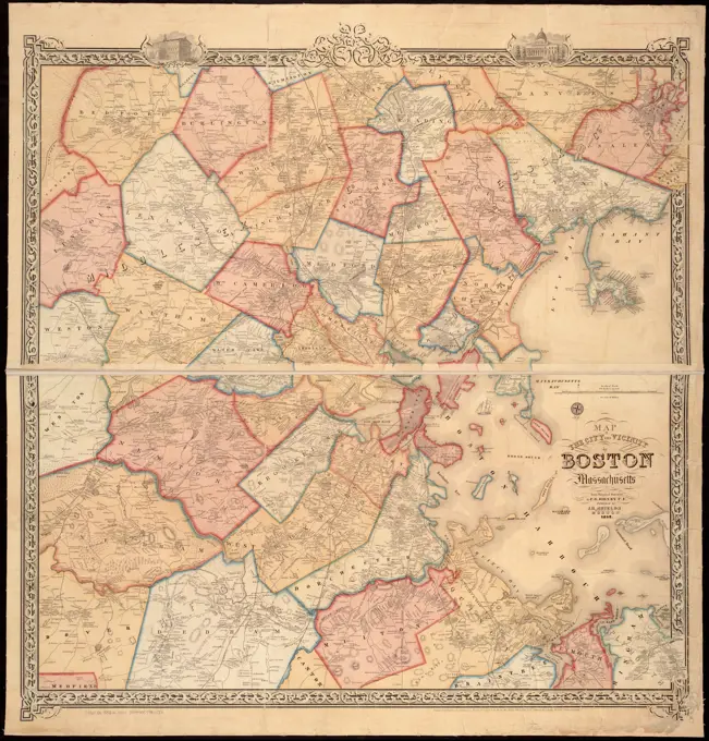
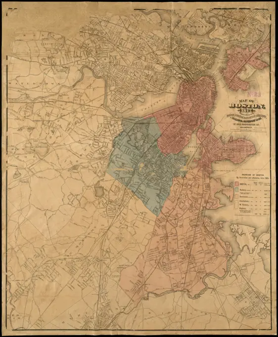
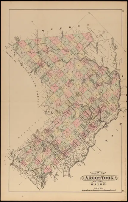
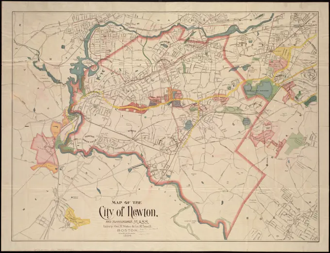
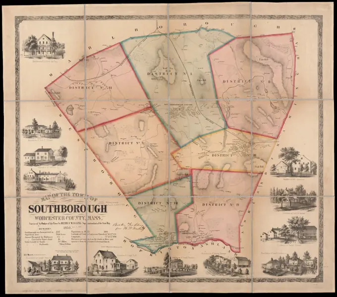
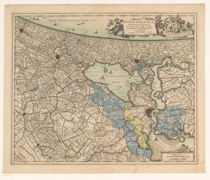
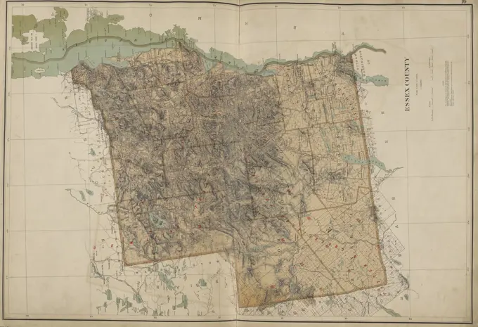
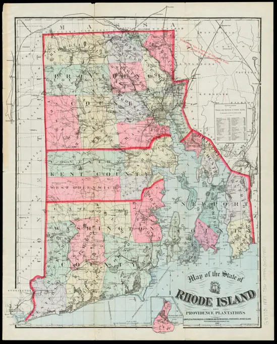
Maps of Boston and Surroundings

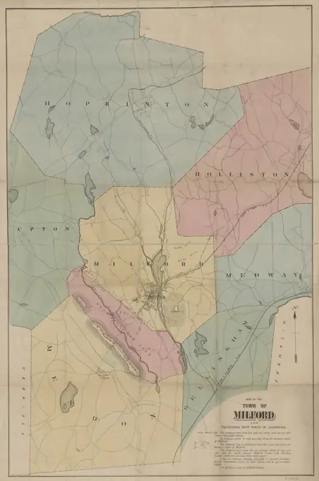
A series of historical maps of Boston and adjacent areas, featuring detailed layouts and administrative boundaries, showcasing 19th-century cartography.

Map of the Town of Milford and proposed new town of Hopedale in Massachusetts, created between 1890 and 1899. The hand-colored map measures 100 x 66 cm, mounted on a sheet measuring 106 x 70 cm. The place of issue is possibly Boston, Massachusetts, and the publisher is not identified. The map illustrates the administrative and political divisions of Milford and Hopedale in the Milford Region of Massachusetts