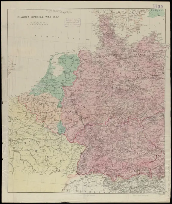
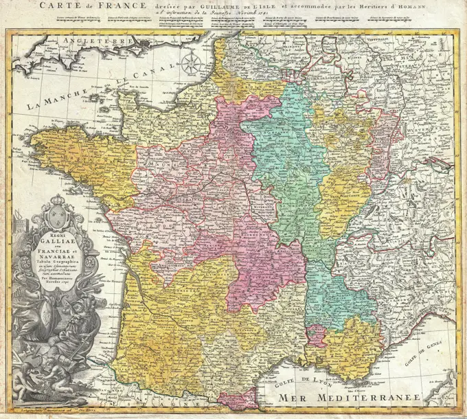
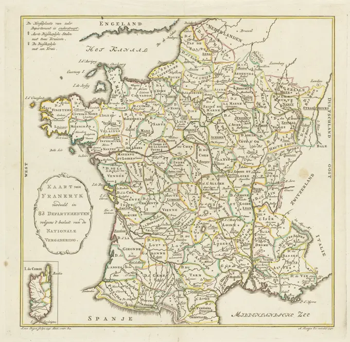
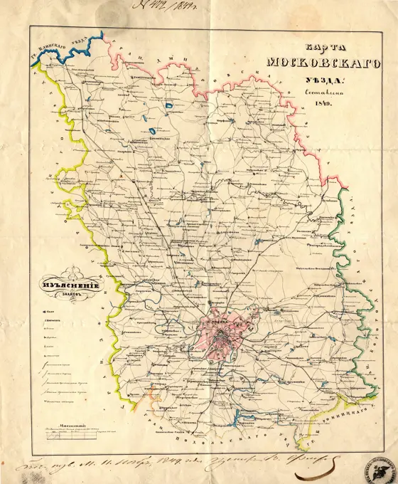
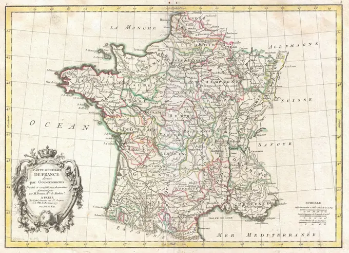
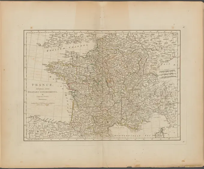
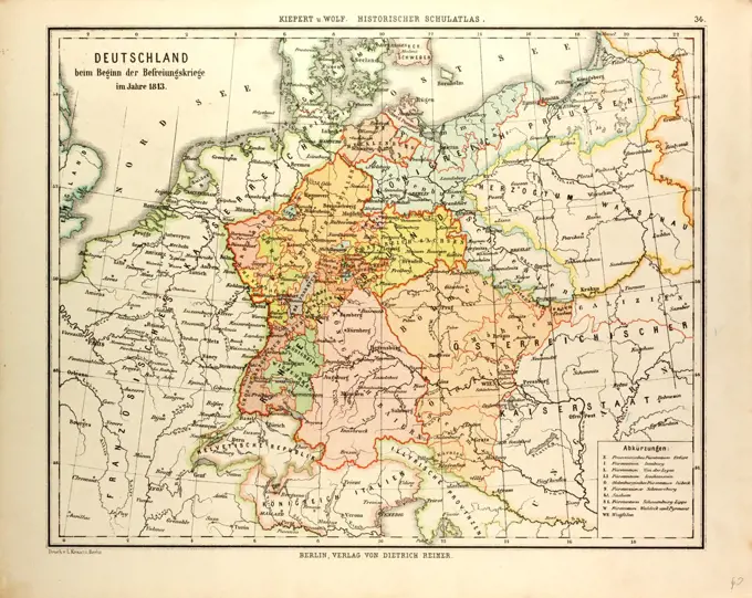
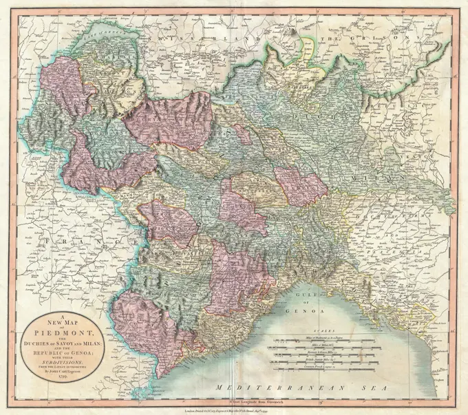
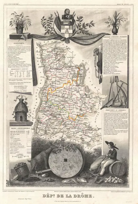
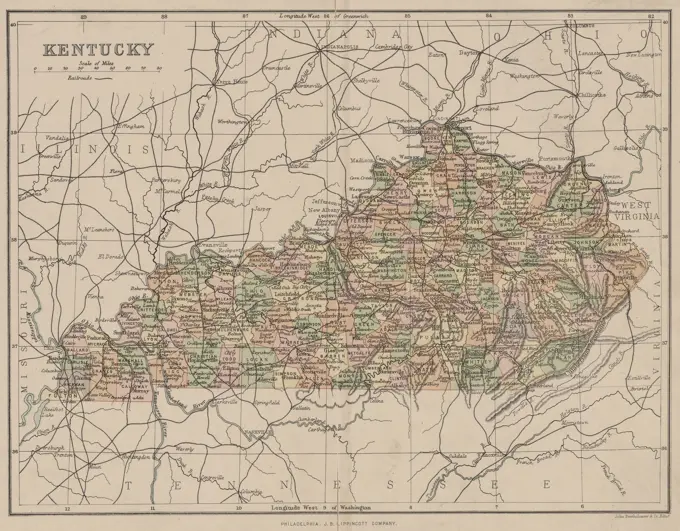
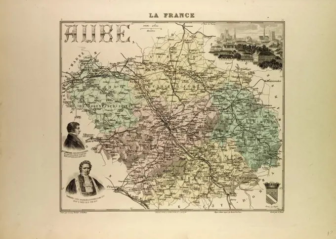
Maps of Europe and France

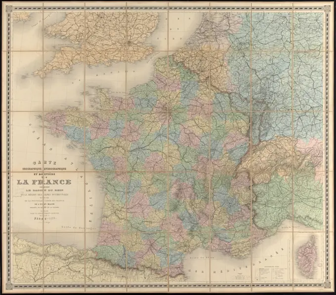
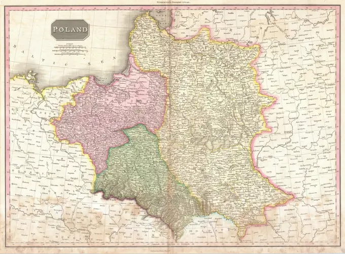
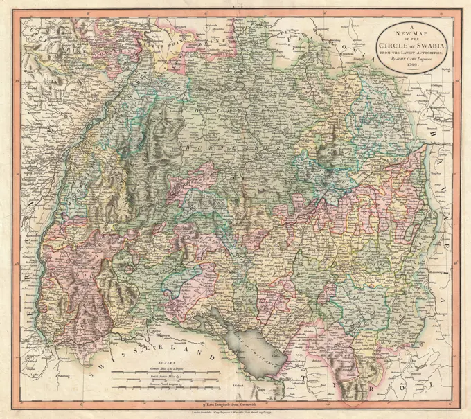
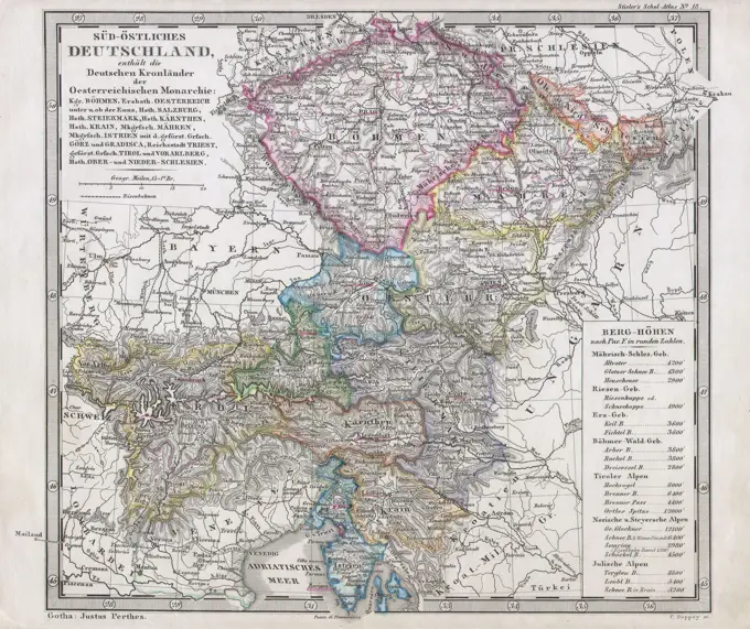
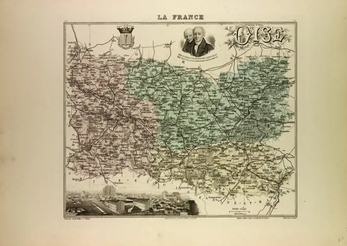
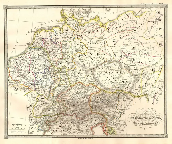
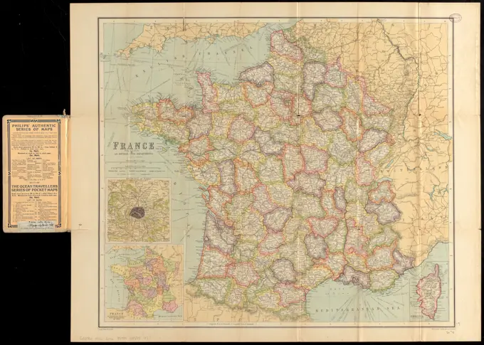
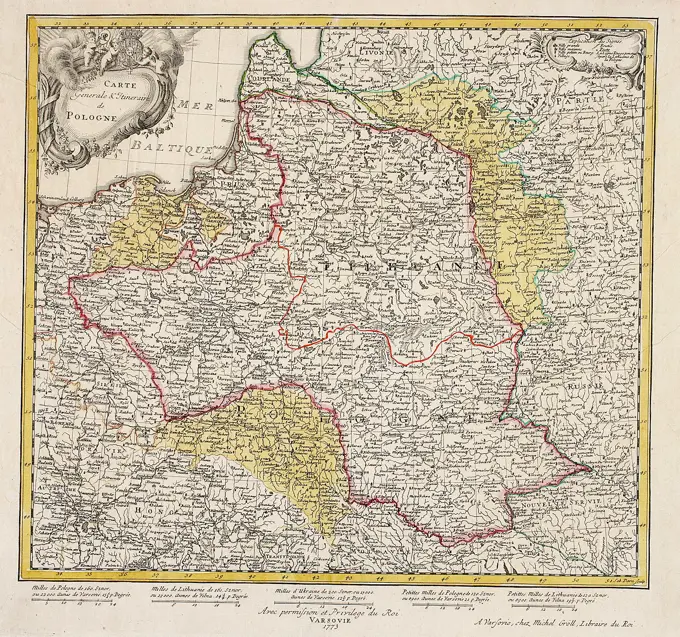
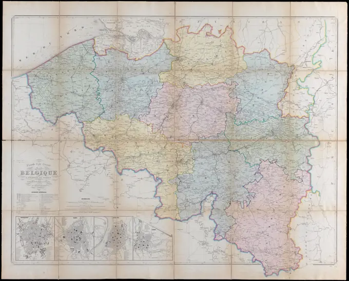
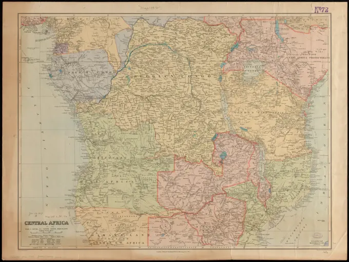
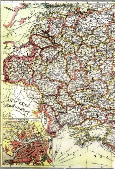
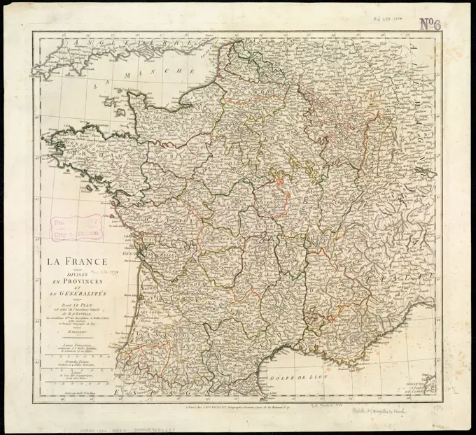
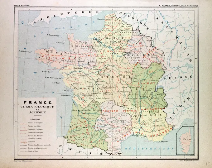
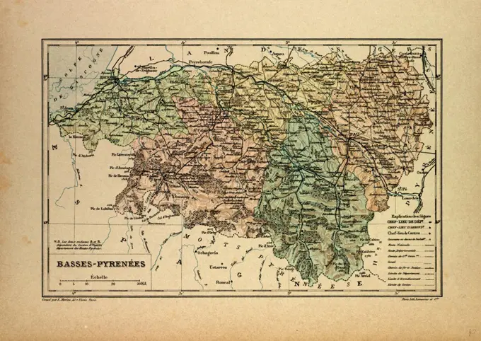
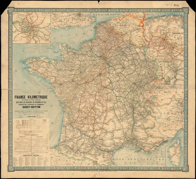
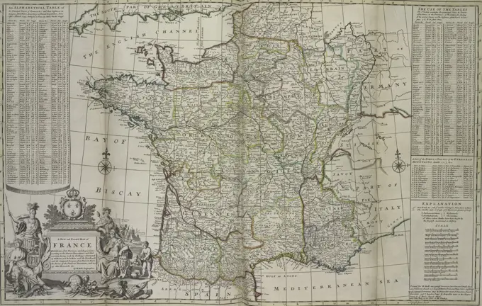
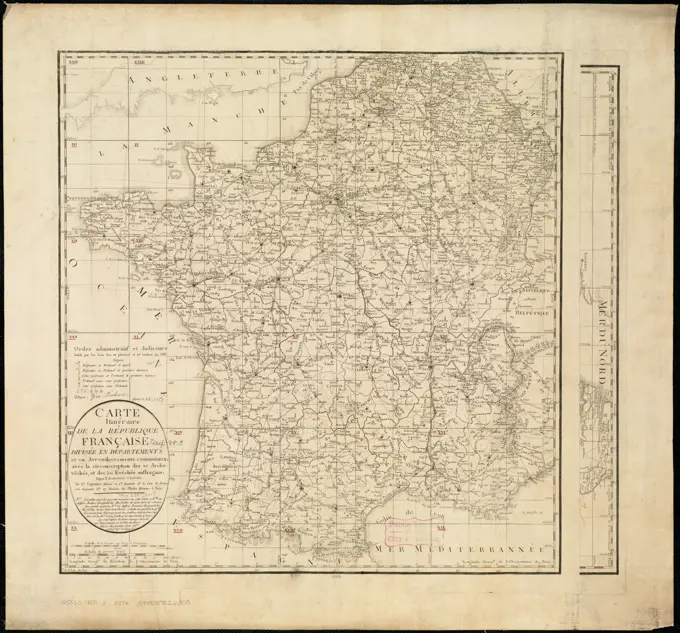
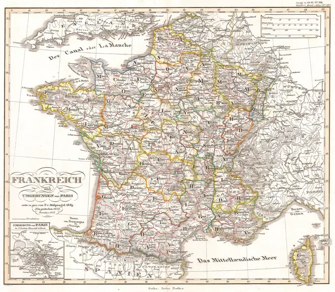
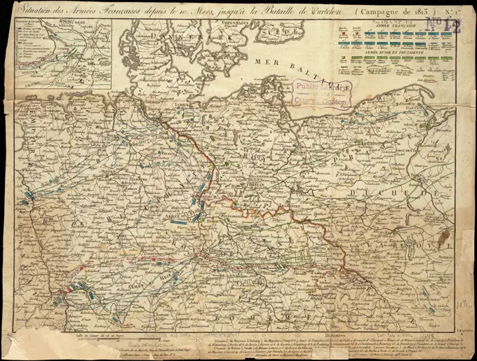
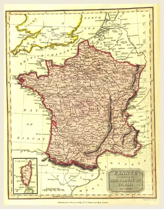
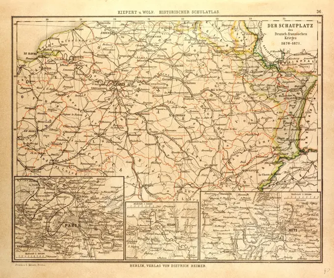
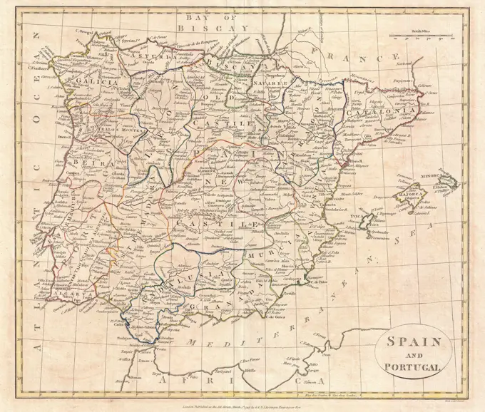
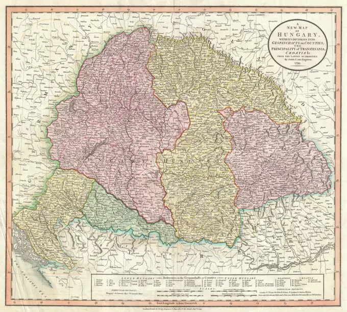
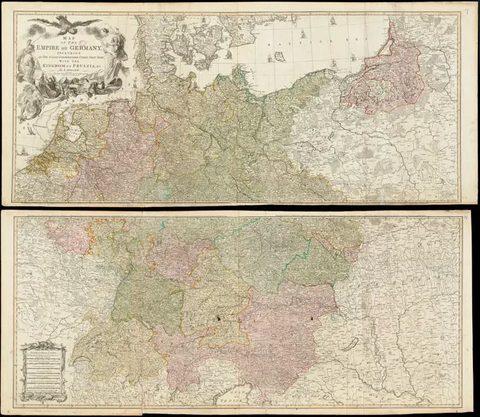
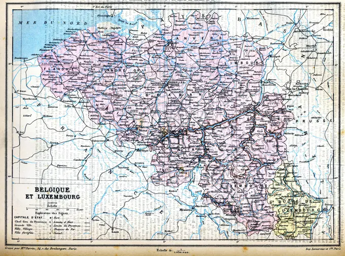
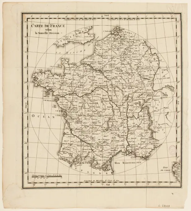
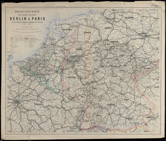
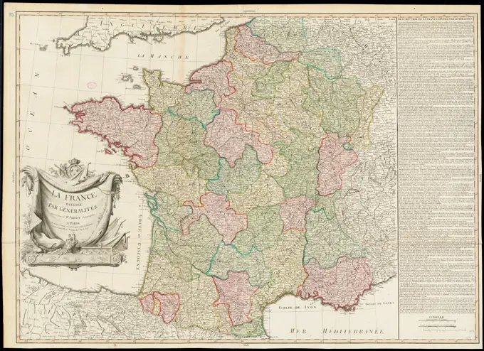
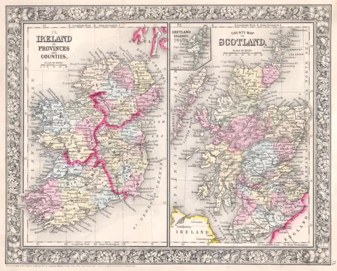
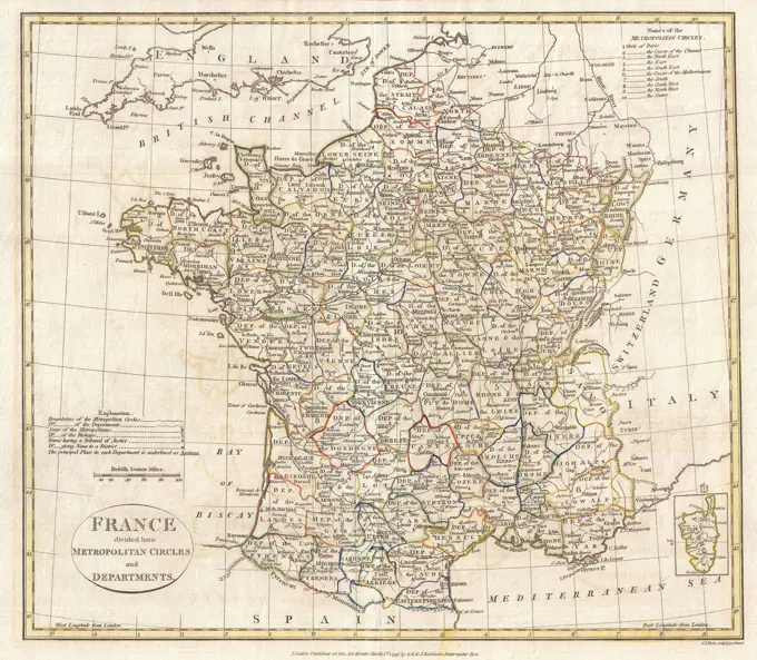
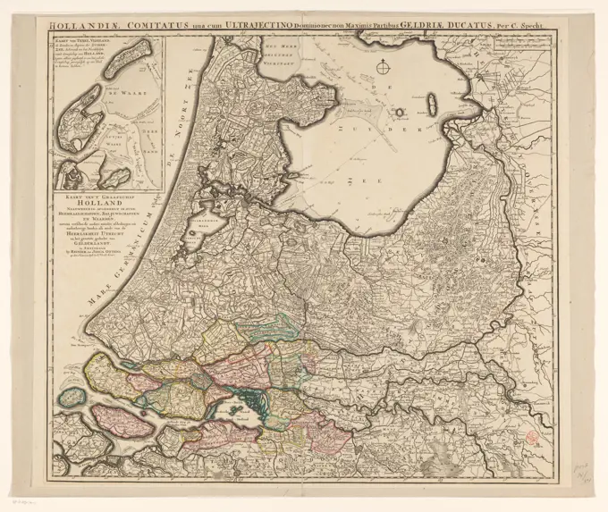
A diverse collection of historical maps detailing regions of France and surrounding areas, showcasing geographical and transportation features.

Carte orographique hydrographique et routiere de la France : comprenant le bassin du rhin et la region des Alpes occidentales : reduite de la nouvelle carte de France de l'etat-major dressee au Depot de la Guerre. Relief shown by hachures. Prime meridian: Paris. Inset: Corsica. "Les chemins de fer par Alfred Potiquet." In lower right: no. 9.... , France
MAP OF PAS-DE-CALAIS, FRANCESpecial-karte der eisenbahn-, post- u. dampfschiff-verbindungen Mittel-Europa's mit angabe aller eisenbahn-, post- u. dampfschiffstationen, speditionsorte, zoll- u. steuerämter, bäder, mineralquellen , Postal service, Europe, Central, Maps, Railroads, Europe, Central, Maps, Shipping, Europe, Central, Maps, Transportation, Europe, Central, Maps, Europe, Central, Maps Norman B. Leventhal Map Center Collection1818 Pinkerton Map of PolandFrance divided into circles and departments , France, Maps Norman B. Leventhal Map Center CollectionCarte orographique hydrographique et routiere de la France : comprenant le bassin du rhin et la region des Alpes occidentales : reduite de la nouvelle carte de France de l'etat-major dressee au Depot de la Guerre. Relief shown by hachures. Prime meridian: Paris. Inset: Corsica. "Les chemins de fer par Alfred Potiquet." In lower right: no. 9.... , France1799 Cary Map of Swabia, Germany1862 Perthes Map of Bohemia and AustriaThe seat of war in the circle of Westphalia. From: Gentleman's Magazine, and Historical Chronicle, vol. 27, 1757.... , Netherlands Germany  , North Rhine-Westphalia Germany  , Lower SaxonyWar map of Central Europe from Paris to Vienna , Franco-Prussian War, 1870-1871, Maps, Europe, Central, Maps Norman B. Leventhal Map Center CollectionMAP OF GERMANY IN THE 16TH CENTURYMAP OF OISE, 1896, FRANCE1855 Spruneri Map of Germany or Germania Magna in Ancient TimesCarte générale des routes de France : divisées en routes de poste, routes royales, départementales, stratégiques, chemins de fer et principaux chemins vicinaux : a l'usage des voyageurs , Roads, France, Maps, France, Maps Norman B. Leventhal Map Center CollectionMAP OF C¥TES DU NORD, FRANCECircolo di Svevia diviso ne suoi stati di nuova projezione ,. Robert E. Diefenbach Map CollectionFrance as divided into departments. Relief shown by hachures and spot heights. Insets: Environs of Paris -- France as divided into Provinces before the Revolution of 1789 -- Corsica. Date of publication estimated from date of acquisition.... , FranceTo His Most Serene and August Majesty Peter Alexovitz absolute lord of Russia &c. this map of Moscovy, Poland, Little Tartary, and ye Black Sea &c. is most humbly dedicated , Russia, Maps, Early works to 1800, Poland, Maps, Early works to 1800, Black Sea, Maps, Early works to 1800, Europe, Eastern, Maps, Early works to 1800, Peter, I, Emperor of Russia, 1672-1725 Norman B. Leventhal Map Center CollectionLa France divisee en provinces et en generalites : dont le plan est celui de l'ancienne Gaule. Relief shown by hachures. Map of France divided into provinces and generalities, whose plan is that of ancient Gaul. Cataloging, conservation, and digitization made possible in part by The National Endowment for the Humanities: Exploring the human endeavor.... , FranceLa France à la mort de Philippe 1er. (996-1108) , France, History, Philip I, 1060-1108, Maps, France, History, Capetians, 987-1328, Maps Norman B. Leventhal Map Center CollectionCarte générale et itineraire de Pologne. Perthées, Karol de (1740-1815), cartographer, Dorn, Sebastian (-1780), graphic artist, Gröll, Michał (1722-1798), publisherNouvelle carte générale de la Belgique à l'échelle de 1/200,000 , Brussels Belgium, Maps, Luxembourg, Maps Norman B. Leventhal Map Center CollectionCentral Africa. Relief shown by hachures and spot heights. "London atlas series."... , Central Africa  ,areaIndustrialisation in Russia was led by the introduction of railways. Map circa 1890 shows rail routes across RussiaLa France divisée en provinces et en généralités : dont le plan est celui de l'ancienne Gaule , France, Administrative and political divisions, Maps, Early works to 1800, Gaul, Maps, Early works to 1800 Norman B. Leventhal Map Center CollectionMAP OF FRANCEMAP OF BASSES-PYRENES, FRANCEThe Austrian French and Dutch Netherlands, from the best authorities. Relief shown pictorially. Prime meridian: Philadelphia. "Engraved for Carey's American edition of Guthrie's Geography improved." In upper left margin: 10. Map 10 in his Carey's general atlas. Philadelphia : Mathew Carey, 1800.... , Belgium NetherlandsMap of the German Empire from 1880, digitally restored reproduction of an original 19th century map, exact original date not knownMAP OF GERMANY IN 1786MAP OF VOSGES, FRANCEFrance kilométrique : carte indiquant les distances kilométriques sur tous les réseaux de chemins de fer , Railroads, France, Maps, Steamboat lines, France, Maps, France, Maps Norman B. Leventhal Map Center CollectionFrance kilometrique : carte indiquant les distances kilometriques sur tous les reseaux de chemins de fer. Insets: Environs de Paris -- Algerie et Tunisie -- Region & environs de Lille -- Environs de Lyon -- La Corse Also shows steamship routes. Includes text.... , FranceA new and exact map of France, dated 1736, showcasing all its provinces and acquisitions. The map is hand-colored and measures 64 x 96 cm, folded to 64 x 28 cm. It was published in London by Tho. Bowles, a print and map-seller located in St. Paul's ChurchyardBlack's special war map , Franco-Prussian War, 1870-1871, Maps, Germany, Maps, France, Maps Norman B. Leventhal Map Center CollectionBlack's special war map. Relief shown by hachures. Map of Europe exhibiting the principal fortresses & fortified towns on verso. Edition statement from cover... Black's special war map : the Rhine frontier. Black's special war map : the Rhine frontier, Germany France1741 Homann Heirs Map of FranceCartography, Italy, 19th century. Map of the States under the King of Sardinia, London 1816. Engraving on copper.MAP OF CREUSE, FRANCEGermany, Prussia, Poland, atlas by Th. von Liechtenstern and Henry Lange, antique map 1869Map of France, Jan van Jagen, 1792 print Map of France and Corsica where the individual departments are framed with yellow, green, pink and blue ink. Amsterdam paper engraving / etching maps of separate countries or regionsMap of France and Corsica with individual departments outlined in yellow, green, pink and blue ink, Map of France Map of France divided into 83 departments according to the act of the national assembly. , print maker: Jan van Jagen, (mentioned on object), publisher: Adriaan Pietersz. Loosjes, (mentioned on object), Amsterdam, 1792, paper, engraving, etching, h 305 mm × w 311 mmMap of the Moscow Governorate by Anonymous master   / Private Collection / 1849 / Russia / Colour lithograph / History / CartographyBacon's large scale shilling map of seat of war from Paris to Berlin, and the Baltic. Relief shown by hachures. Inset: The western provinces of Prussia, comprehending Westphalia and the Rhine Province.... , Europe EuropeCarte itinéraire de la Républic Française divisée en departments et en arrondissements communaux : avec la circonscription des 10 archevêchés, et des 50 evêchés suffragans , France, Administrative and political divisions, Maps Norman B. Leventhal Map Center CollectionCarte itineraire de la Republic Francaise divisee en departments et en arrondissements communaux : avec la circonscription des 10 archeveches, et des 50 eveches suffragans. Relief shown by hachures. Map of the French Republic divided into departments and districts, with the municipal districts of the 10 archbishops and 50 diocesan bishops.... , FranceGlocestershire text. Maps, Atlases. 1793. Lionel Pincus and Princess Firyal Map Division. Geography, Great Britain1850 Perthes Map of FranceSituation des armées Françaises depuis le 10 mars jusqu'à la bataille de Wurtchen : (Campagne de 1813) , Napoleonic Wars, 1800-1815, Campaigns, Germany, Maps, Germany, History, 1806-1815, Maps Norman B. Leventhal Map Center CollectionMap of France according to the treaty of Paris in 1814MAP OF FINIST_RE, FRANCEMAP OF WHERE THE FRANCO-PRUSSIAN WAR TOOK PLACE IN FRANCE 1870-1871Map of North Italy, Switzerland, South Germany, etc to illustrate the Campaigns of 1796County map Henneberg, about 1: 150 000, copper engraving, 17911818 Pinkerton Map of Southwestern Germany (Bavaria, Swabia)MAP OF TARN, 1896, FRANCEMAP OF FRANCEMAP OF ARRI_GE, FRANCE1799 Clement Cruttwell Map of Spain and PortugalLa France a la mort de Philippe 1er. (996-1108). Map of France at the death of Philip I, ruler from 1060-1108 CE.... , France1799 Cary Map of Hungary, Croatia and TransylvaniaMap of the Empire of Germany : including all the states comprehended under that name : with the Kingdom of Prussia, &c , Europe, Central, Maps, Early works to 1800, Germany, Maps, Early works to 1800 Norman B. Leventhal Map Center Collection1771 Bonne Map of FranceAn accurate map of Dorset Shire, divided into its hundreds , Dorset England, Maps, Early works to 1800 Norman B. Leventhal Map Center CollectionFrance, divided into military governments 1786. Dunn, Samuel, d. 1794. Cartographic. Maps. Lionel Pincus and Princess Firyal Map Division. Atlases, British, Geography, FranceRand, McNally & Co.'s indexed atlas of the world map of Germany. Relief shown by hachures. Insets: Rhenish-Westphalian industry and mining district -- Berlin, Potsdam and environs -- Northern continuation. Accompanied by index: Rand, McNally & Co.'s indexed pocket map of Germany... Rand, McNally & Co's Germany Rand, McNally & Co.'s indexed pocket map of Germany showing the separate states, lakes, mountains, rivers, and railroads. Rand, McNally & Co's Germany Rand, McNally & Co.'s indexed pocket map of Germany showing the separate states, lakes, mountains, rivers, and railroads, GermanyCarte Nouvelle des Royaumes de Galizie et Lodomerie, avec le District de Bukowine. Cartographic. Maps. 1701 - 1800. Lionel Pincus and Princess Firyal Map Division. Galicia (Poland and Ukraine), Bukovina (Romania and Ukraine), Volodymyr-Volynsky (Ukraine)Het koningrijk der Nederlanden , Netherlands, Maps Norman B. Leventhal Map Center CollectionMAP OF GERMANY IN 1813Tertia Europae tabula. Map of France, and western parts of Germany. Relief shown pictorially. Engraved on wood with place names in moveable type. Includes names of places and natural features. In margin: Climatic and latitudinal notes. Appears in the author's Geographia, edited by Bernard Sylvanus. Venetiis : Per Iacobum Pentium de Leucho, anno Domini 1511. Text in Latin. Cataloging, conservation, and digitization made possible in part by The National Endowment for the Humanities: Exploring the human endeavor.... , FranceMap of Central Africa, 1902.  Creator: Unknown.The map of Luxembourg Belgium with signs and their explanationThe map of Luxembourg Belgium The map of Luxembourg Belgium with signs and their explanation. Copyright: xZoonar.com/PatrickxGuenettex 10648084Map of Russia, 1902.  Creator: Unknown.Map of France according to the new division (IT)Nouvelle Carte des Sept Department De La Hollande (...) / New map of the seven Hollandsche departments. Divided in accordance with the decree of His Majesty, the emperor and king of the 21 October 1811, introduced with the 1812. Map of new classification of the Netherlands in seven departments according to the Imperial Decree of 21 October 1811 and introduced in the year 1812. On the left the extensive titles in French and Dutch, Daraonder de Legend with a statement of the symbols used.MAP OF MAINE ET LOIRE, FRANCEMAP OF HAUTE-LOIRE, FRANCEB2. Brussa. Kiepert, Richard, 1846-1915. Cartographic. Maps. 1902 - 1916. Lionel Pincus and Princess Firyal Map Division. Turkey, Turkey, MapsThe Daily Telegraph gazetteer war map (no. 4) , World War, 1914-1918, Europe, Maps, Europe, History, Military, 20th century, Maps, Europe, Western, Maps Norman B. Leventhal Map Center CollectionÜbersichts-karte der länder zwischen Berlin u. Paris , Germany, Maps, France, Maps Norman B. Leventhal Map Center CollectionUbersichts-karte der lander zwischen Berlin u. Paris. Prime meridian: Ferro.... , Germany FranceVolker und sprachen-karte von Deutschland und den nachbarlandern im j. 1867. Relief shown by hachures. Prime meridians: Ferro and Paris. Language groups differentiated by various colors. Publisher's advertisements on p. 4 of cover... Volker- und Sprachen-Karte von Deutschland und den Nachbarlandern im jahre 1866. Volker- und Sprachen-Karte von Deutschland und den Nachbarlandern im jahre 1866, Germany Central Europe  ,areaMap of the County of Kirkcudbright, Scotland, circa 1891Cartes-guides Campbell Provence , Roads, France, Provence, Maps, Provence France, Maps Norman B. Leventhal Map Center CollectionGallia Antiqua ex Aevi Romani monumentis eruta et serenissimi Carnutum Ducis munificientia publicijuris facta , Gaul, History, Maps, Early works to 1800, France, History, To 987, Maps, Early works to 1800 Norman B. Leventhal Map Center CollectionLa France divisée par généralités , France, Maps, Early works to 1800 Norman B. Leventhal Map Center CollectionThe Daily Telegraph war map no. 17 , World War, 1914-1918, Europe, Eastern, Maps, World War, 1914-1918, Russia, Maps, World War, 1914-1918, Soviet Union, Maps, Europe, Eastern, Maps, Russia, Maps, Soviet Union, Maps Norman B. Leventhal Map Center CollectionMAP OF FINIST_RE, 1896, FRANCE1799 Cary Map of Piedmont, Italy ( Milan, Genoa )1852 Levasseur Map of the Department de La Drome, FranceA map of Kentucky, published by J.B. Lippincott Company in 1890. The map is color-coded and measures 21 x 28 cm, mounted on a sheet that is 26 x 33 cm. The New York Public Librarys copy is pasted on a sheet measuring 31 x 36 cmMAP OF AUBE, 1896, FRANCE1864 Mitchell Map of Ireland and ScotlandMap of the seat of the war in Italy , First Coalition, War of the, 1792-1797, Maps, Italy, Maps, Italy, History, War of 1859, Maps Norman B. Leventhal Map Center CollectionC1. Smyrna. Kiepert, Richard, 1846-1915. Cartographic. Maps. 1902 - 1916. Lionel Pincus and Princess Firyal Map Division. Turkey, Turkey, Maps1799 Clement Cruttwell Map of France in DepartmentsMAP OF GERMANY, 1815 - 1866Map of Hispania Antiquae - Sanson Atlas, circa 1700Lorrain. Flamsteed, John, 1646-1719. Godbid, A.. Cartographic. Maps, Atlases. 1681. Lionel Pincus and Princess Firyal Map Division. Astronomy, 1681, Geography, MathematicsMap of Holland, Utrecht and part of Gelderland, Caspar Specht (Possible), 1726 - 1727 print Map of the Graafschap Holland, the Heerlijkheid Utrecht and most of the Duchy of Gelderland. Texel and Vlieland in the top left. Below that the Dutch title. At the top right two scale sticks: German Mylen 15 in a degree; French mylen 20 in a degree. Degree distribution along the edges. The southern part of South Holland is colored.  paper engraving maps of separate countries or regions Holland. Utrecht. Gelderland