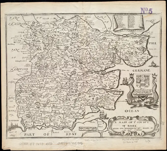
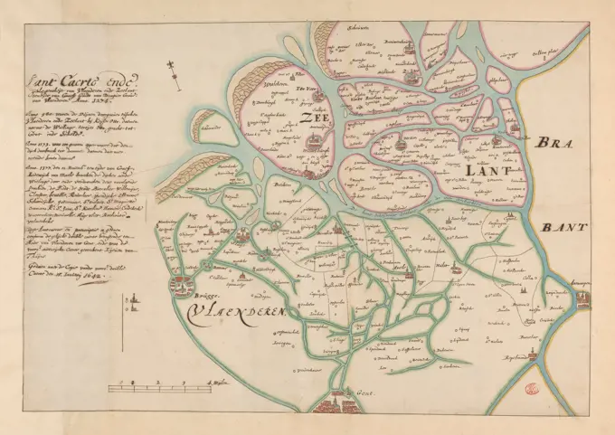
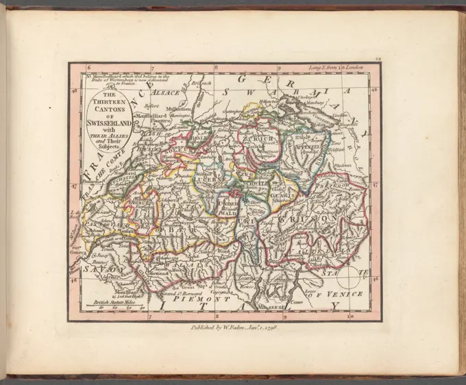
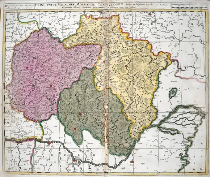
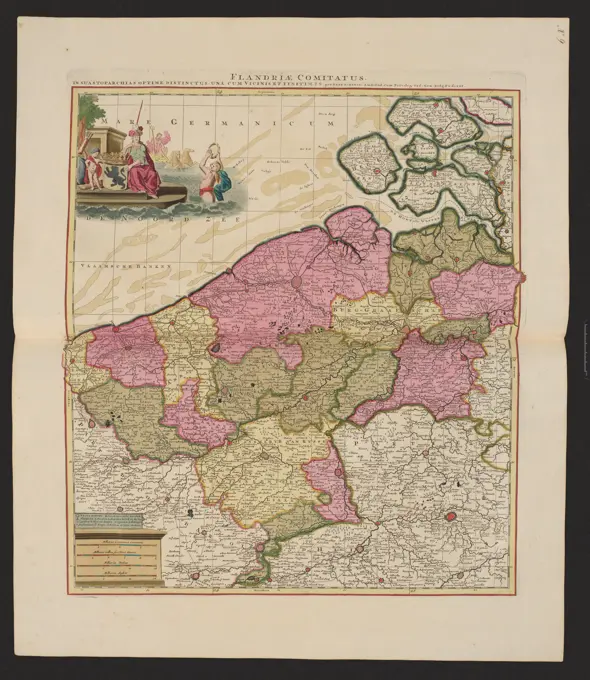
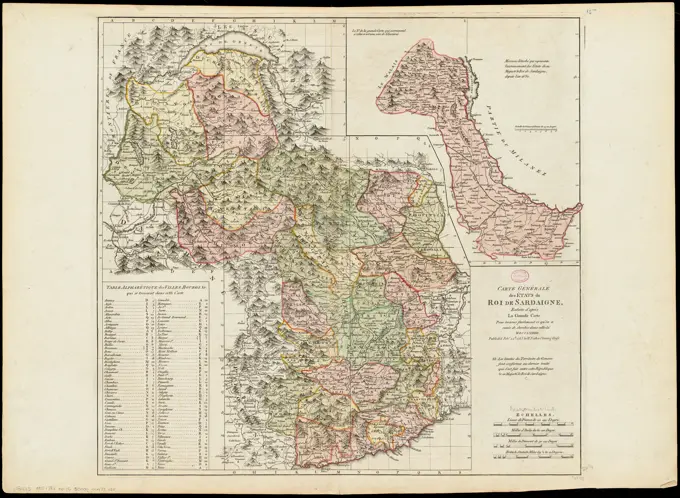
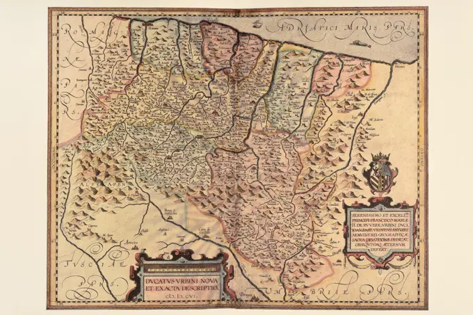
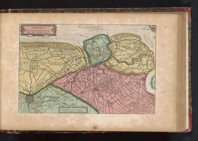
Maps of Europe and Regions

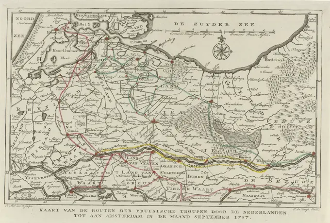
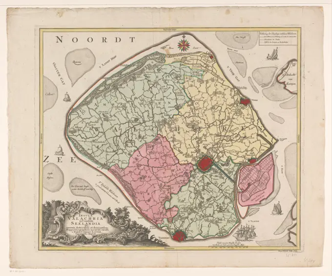
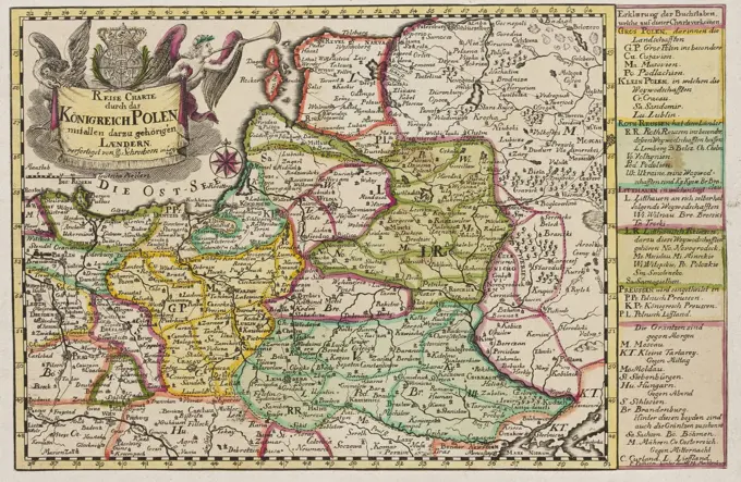
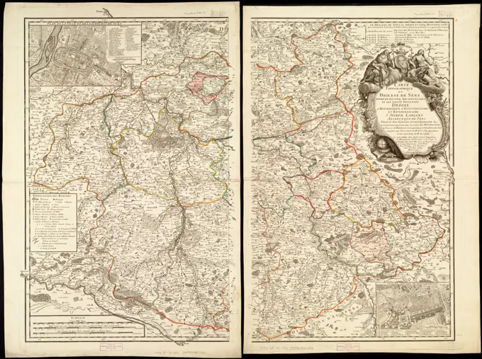
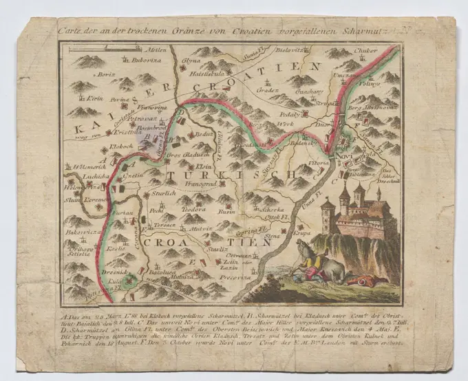
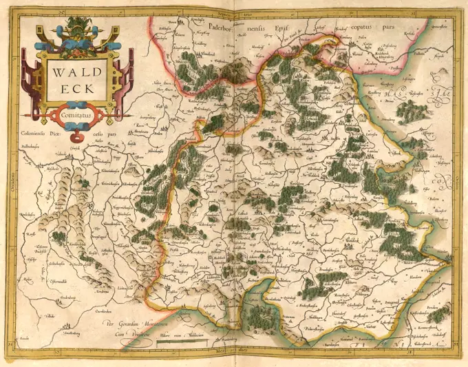
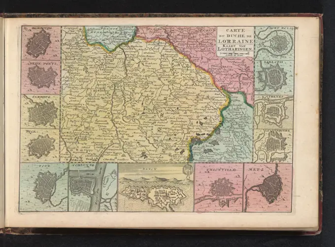
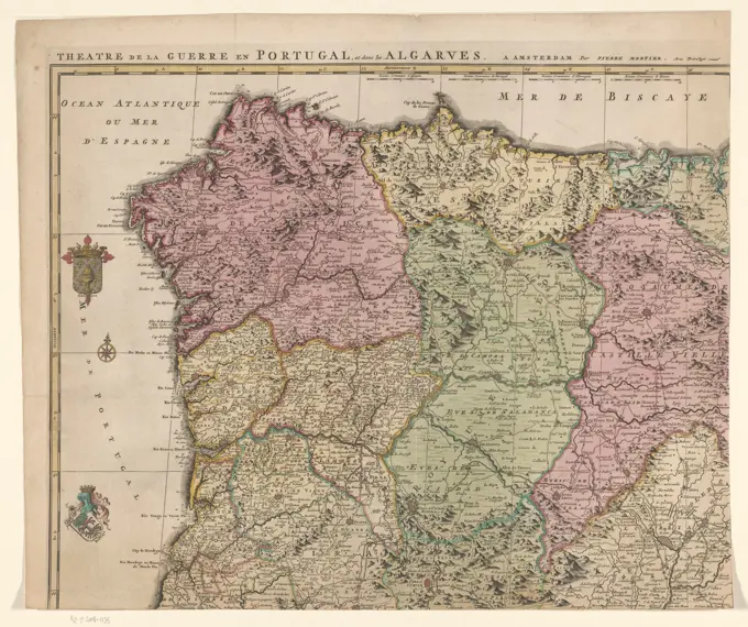
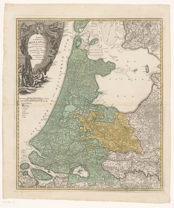
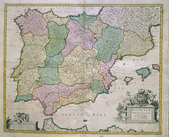
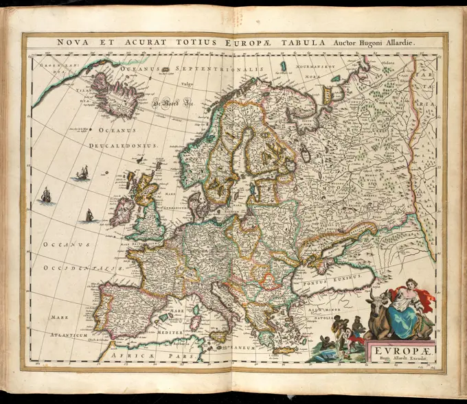
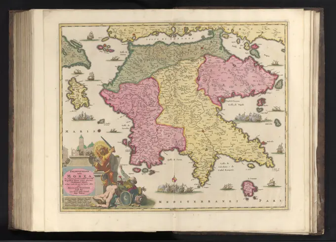
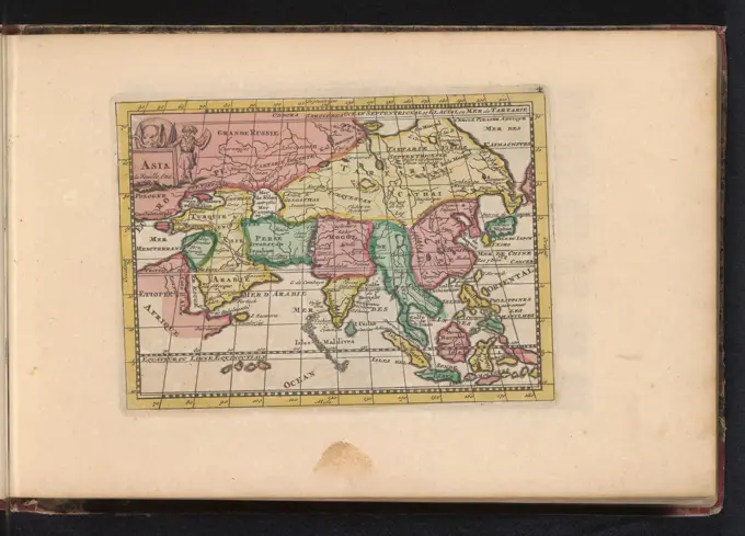
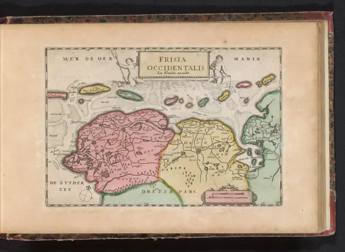
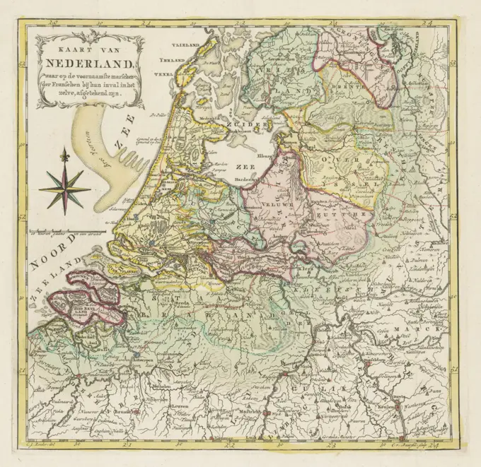
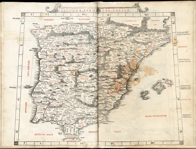
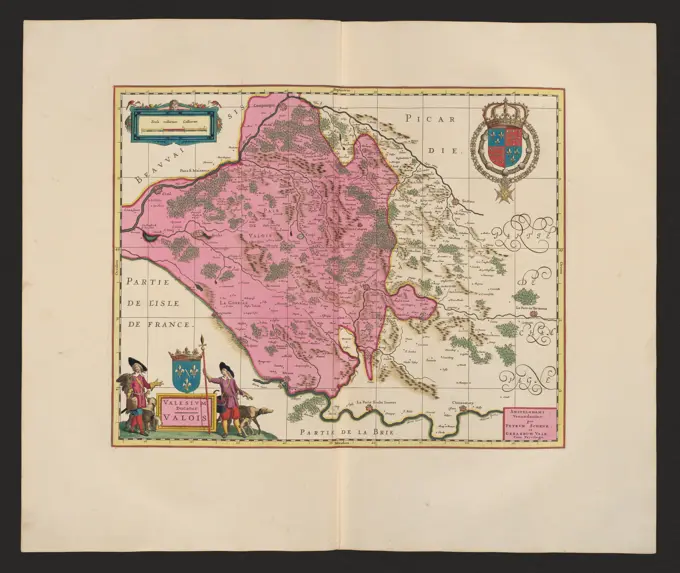
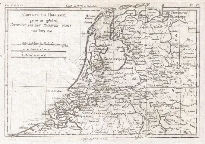
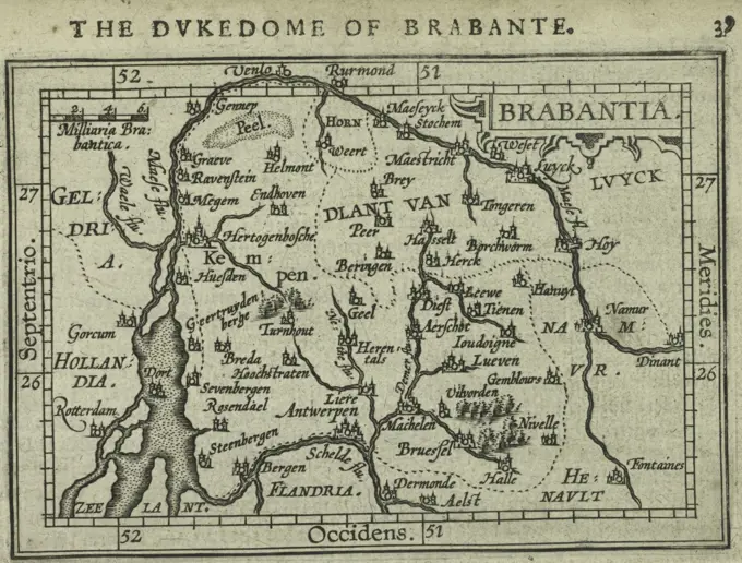
Antique maps of various European regions and principalities, showcasing geographical depictions and historical cartography.

Quercy : Cadurcium. Relief shown pictorially. Verso: French text, "Le Pays de Querci"; sig. 4K, p. 313-316. Appears in vol. 1 of Hondius' and Mercator's Atlas, Ou Representation Du Monde Universel, Et Des Parties D'Icelui ... Amsterdam, 1633.... , France  , Midi-Pyrénées  ,region
Quercy : Cadurcium. Relief shown pictorially. Verso: French text, "Le Pays de Querci"; sig. 4K, p. 313-316. Appears in vol. 1 of Hondius' and Mercator's Atlas, Ou Representation Du Monde Universel, Et Des Parties D'Icelui ... Amsterdam, 1633.... , France , Midi-Pyrénées ,region
Principatvs Silesiae Oppoliensis Exactissima Tabula Geographica, Sisterns Circvlos Oppoliem Ober-Ggogav Gros Strehliz, Cosel, Toast, Rosenberg, Falckenberg & Lvbleniz ... Accurate Delineata ...; Homann, Johann Baptist; Dziedzice (1730-1848), Wieland, Johann Wolfgang ( -1736); 1736 (1736-00-00-1736-00-00);A mapp of ye county of Essex : with its hundreds , Essex England, Maps, Early works to 1800 Norman B. Leventhal Map Center CollectionEuropa exactissime descripta. Relief shown pictorially. Includes dedication in cartouche. Map has date of 1631. Appears in Mercator and Hondius' Atlas Novus. Amstelodami : Apud Henricum Hondium & Joannem Janssonium, 1638. Cataloging, conservation, and digitization made possible in part by The National Endowment for the Humanities: Exploring the human endeavor.... , Europe EuropeDecima Asiae tabula , India, Maps, Early works to 1800 Norman B. Leventhal Map Center CollectionJongh, Izaak de, Amsterdam, Mol, P., Map of the routes of the Prussian troops through the Netherlands to Amsterdam in September 1787, Map with the routes of the Prussian troops to Amsterdam, 1787, verso - stamped, Map of Mars showing the routes followed by the Prussian troops on their way to Amsterdam, during the intervention in the Netherlands in September 1787., print, picture, map, prints, pictures, Frederik Muller History plates, height 206 mm, width 307 mm, Dutch, print maker, printmaker, 1787 - 1788, paper, etching, etchings, engraving, engraving (printing process), hand coloring, cartographer, Publication (Event), Publication, publisherTRACTUUM Borussiae, Circa Gedanum et Elbingam ab Incolis werder appellati, cum adiuncta nerva nova et elaboratissima delineatio; Schenck, Pieter (1660-1711), Valck, Gerard (1651 cars 1652-1726), Gotho, Olao Joannis (1600-1644); 1711 (1711-00-00-1711-00-00);Map of Zeeland and Flanders as the area would have looked in 1274, at the time of Count Guido van Dampierre. On the left the title and explanation, underneath a legend and a scale stick: 4 miles, Map of Zeeland and Flanders, 1274 Lant caerte en gelegentheijt van Vlaenderen en Zeelant at the time of Count Guide van Dampier grave, van Vlaenderen anno 1274., draughtsman: anonymous, intermediary draughtsman: Lieven van Thuyne, 1642, paper, pen, brush, h 462 mm × w 664 mmMap of Friesland, 1718 print In the top left of Vlieland, Terschelling, Ameland and Schiermonnikoog, with two scale sticks: Dangle Miles 15 in a degree, 3.25 hours rattling each of 1200 rods. At the bottom left image of the statue the Stone Man in Harlingen. Rights of TitleCartouche with the arms of Friesland above it. At the bottom right legend and two scale sticks: common German miles 15 in a degree, each of each of 1200 rods rods. Degree distribution along the edges.  paper engraving / etching maps of separate countries or regions. coat of arms (as symbol of the state, etc.) FrieslandMap of Walcheren, Georg Friedrich Lotter, 1757 - 1778 print Bottom left a cartouche with the title in Latin. Under, to the right of the middle, a bowl: scale of 1000 bloysche rods, half a mean Duytsche Mijle. At the top right a Dutch legend.  paper engraving / etching maps of separate countries or regions WalcherenMap of the Graafschap Namur, Anonymous, 1647 - 1667 print Map of the county names. At the bottom right the title cartouche. Above that three scale sticks: 10 mille pass Geometriques / 4 Lieües Communes de France / 3 Lieües Communes de Pays Bas. The card is equipped with a degree distribution along the edges.  paper engraving / etching maps of separate countries or regions Names (county)The thirteen cantons of Swisserland with their allies and their subjects 1798 - 1804. Cartographic. Maps, Atlases. Lionel Pincus and Princess Firyal Map Division. Atlases , Great Britain, Maps in education , England, Historical geography, SwitzerlandMap of Morocco; Royaume de Maroc Divisé and Sept Provinces. Map of the Kingdom of Morocco. Part of an Atlas with 223 maps of countries and cities and war scaffolding in Europe in the period approx. 1690-1735.Map of Holland, Utrecht and part of Gelderland, 1741 - 1748 print Links deployment map of the Kop van Noord-Holland, Texel and Vlieland. Among them two scale sticks: Milliaria Germanica 15 in Uno Gradu, Milliaria Gallica 20 in Uno Gradu. Below that a port face with a number of sailors, citizens and ships. Title Cartouche on the right with a number of figures: sailors, Minerva, Mercury, Fama and a naked woman on a winged sphere. Degree distribution along the edges.  paper engraving / etching maps of separate countries or regions. (story of) Mercury (Hermes). (story of) Minerva (Pallas, Athena). merchant shipping, shipping trade Holland. Utrecht. GelderlandNovissima et accuratissima Insulae Jamaicae , Nautical charts, Jamaica, Early works to 1800, Jamaica, Maps, Early works to 1800 Norman B. Leventhal Map Center CollectionPrincipatus valachiae, moldaviae et transylvaniae, divisus in Singularis populos ...; Valk, Gerard (1651/1652-1726), Valck, Leonard (1675-1755); 1. W. 18th century (1700-00-00-1725-00-00);Moldova, Transylvania, Wallachia, maps, human typesFlandriae Comitatus in Suas Toparchias Optime Distinctus, Una Cum Vicinies et Finitimis; Schenck, Pieter (1660-1711), Valck, Gerard (1651 cars 1652-1726), Janssonius, Johannes (1588-1664); 1711 (1711-00-00-1711-00-00);Carte générale des états du Roi de Sardaigne, reduite d'après la grande carte : pour trouver facilement ce qu'on a envie de chercher dans celle-là , Italy, Maps, Early works to 1800 Norman B. Leventhal Map Center CollectionSerra San Quirico (Italia, Marche - provincia di Ancona),  Cartoteca Regionale. Ducatus Urbini Nova Et Exacta Descriptio (1606), Giovanni Battista UrintsMap of Friesland, After 1775 print Bottom left cartouche with the Wapen van Friesland and around Putti and Sea beings underneath. At the top right a small bet with the Wadden Islands Vlieland, Ameland, Terschelling and Schiermonnikoog. Rights a legend. At the bottom right putti with objects of agriculture and animal husbandry: butter, cheese, grain and cattle. Among them three scale sticks: Milliaria Germanica Communia / common Duytsche Mylen, Milliaria belgia sive hore itineris, Dutch mylen or hours gaens. Degree distribution along the edges.  paper engraving / etching maps of separate countries or regions. coat of arms (as symbol of the state, etc.) FrieslandNovissima et Accuratissima Regnorum Hispaniae et Portugalliae; Schenck, Pieter (1660-1711), Valck, Gerard (1651 cars 1652-1726); 1711 (1711-00-00-1711-00-00);Map of Limburg, Anonymous, 1735 Map of the reinforcements around the city of Luxembourg. Part of an atlas with 223 maps of countries and cities and war scenes in Europe in the period ca. 1690-1735. print maker: Northern Netherlandspublisher: Amsterdampublisher: Amsterdam paper engraving / lacquering  Limburg (Belgian province) Map of the reinforcements around the city of Luxembourg. Part of an atlas with 223 maps of countries and cities and war scenes in Europe in the period ca. 1690-1735. print maker: Northern Netherlandspublisher: Amsterdampublisher: Amsterdam paper engraving / lacquering  Limburg (Belgian province)Map of East Flanders; Partie de la Flandre Orientale. Map of East Flanders, at the bottom left of the city of Bruges. Part of an Atlas with 223 maps of countries and cities and war scaffolding in Europe in the period approx. 1690-1735.Perigrinatie ofte veertich-iarige reyse der kindern Israëls, uyt Egypten door de Roode Zee, ende de woestyne, tot in't beloofde Landt Canaan , Geography, Maps, Early works to 1800, Illustrations, Exodus, The, Maps, Early works to 1800, Palestine, Maps, Early works to 1800, Israel, Maps, Early works to 1800 Norman B. Leventhal Map Center CollectionReise Charte durch das Königreich Polen mit allen darzu gehörigen Laendern. Schreiber, Johann Georg (1676-1750), engraverMap of Utrecht, Anonymous, 1735 Map of the Sticht van Utrecht. Part of an atlas with 223 maps of countries and cities and war scenes in Europe in the period ca. 1690-1735. print maker: Northern Netherlandspublisher: Amsterdampublisher: Amsterdam paper engraving / lacquering  Eemland Map of the Sticht van Utrecht. Part of an atlas with 223 maps of countries and cities and war scenes in Europe in the period ca. 1690-1735. print maker: Northern Netherlandspublisher: Amsterdampublisher: Amsterdam paper engraving / lacquering  EemlandAtlas, map from 1623, Ireland, digitally restored reproduction from an engraving by Gerhard Mercator, born as Gheert Cremer, March 5, 1512 - December 2, 1594, geographer and cartographer. Carte topographique du Diocese de Sens divisé en ses cinq Archidiaconés et ses douze Doyennés , Catholic Church. Archdiocese of Sens France, Maps, Early works to 1800, Burgundy France, Maps, Early works to 1800, Île-de-France France, Maps, Early works to 1800 Norman B. Leventhal Map Center CollectionMap of the skirmishes that had fallen on the Croatian border in the Austrian-Turkish War -, UnknownMap of Drenthe, Abraham van den Broeck, 1675 - 1711 print At the top left title cartouche with the weapon of the Republic and that of Drenthe, around two hunters. Bottom left a bowl: Milliaria Germanica. In addition, three men, peat and cattle. The card is equipped with a search schedule.  paper engraving maps of separate countries or regions. coat of arms (as symbol of the state, etc.). hunter. peat (soil type). agriculture DrentheA map of the country round Dresden, with the towns and fortresses which the several armies have occupied during the campaign , Saxony Germany, Maps, Early works to 1800 Norman B. Leventhal Map Center CollectionTerritorio Padovano; Schenck, Pieter (1660-1711), Valck, Gerard (1651 cars 1652-1726); 1711 (1711-00-00-1711-00-00);Hungary Gallicia and Transilvania, with Bukovina, Slavonia, and Croatia &cca. 1798 - 1804. Cartographic. Maps, Atlases. Lionel Pincus and Princess Firyal Map Division. Atlases , Great Britain, Maps in education , England, Historical geography, Hungary, RomaniaGeneral map of Poland. Engraved by Lemaitre. History of Poland, by Charles Foster. Panorama Universal, 1840.Clivia Ducatus; Schenck, Pieter (1660-1711), Valck, Gerard (1651 cars 1652-1726), Janssonius, Johannes (1588-1664); 1711 (1711-00-00-1711-00-00);Nova Hispania, et Nova Galicia , Mexico, Maps, Early works to 1800 Norman B. Leventhal Map Center CollectionAtlas, map from 1623, Waldeck, Germany, digitally restored reproduction from an engraving by Gerhard Mercator, born as Gheert Cremer, March 5, 1512 - December 2, 1594, geographer and cartographer. Map of Lorraine; Map of Lorraine / Carte du Duché de Lorraine. Map of Lorraine. Around the card thirteen small floor plans of cities. Part of an Atlas with 223 maps of countries and cities and war scaffolding in Europe in the period approx. 1690-1735.W. & A.K. Johnston's maps to illustrate the Niger and Upper Nile questions , Africa, Maps, Nile River, Maps Norman B. Leventhal Map Center CollectionAsia map; Asia. Asia map, top left a vignette with a warrior with an elephant. Part of an Atlas with 223 maps of countries and cities and war scaffolding in Europe in the period approx. 1690-1735.Map of the Southern Netherlands, ca. 1701-1702, 1701 - 1702 print Map of the Southern Netherlands, the battlefield of the Spanish Succession War in the years 1701-1702. Northern Netherlands paper engraving / etching maps of separate countries or regions Southern NetherlandsCarte topographique du Diocese de Sens divisé en ses cinq Archidiaconés et ses douze Doyennés , Catholic Church. Archdiocese of Sens France, Maps, Early works to 1800, Burgundy France, Maps, Early works to 1800, Île-de-France France, Maps, Early works to 1800 Norman B. Leventhal Map Center CollectionMap of Poland and Eastern Europe, Theatro D'el Orbe La Tierra - OrteliusRight half of a world map, with the eastern hemisphere, anonymous, after 1775 print Right half of a world map, now only the eastern hemisphere can be seen. At the top left the title cartouche, with an allegorical representation of two of the four large continents in the form of female figures. Nova Hollandia and the journey of Abel Tasman of 1642 can be seen on the map. At the top right a map of the South Pole. The card is equipped with a degree distribution along the edges.  paper engraving map of the world. exploration, expedition, voyage of discovery. (map of) the polar regions, frigid zonesMap of Northern Portugal and Northwest Spain, Anonymous, 1685-1711 print Map of Northern Portugal and Northwest Spain. Part of a four -part map of Spain.  paper engraving maps of separate countries or regions. coat of arms (as symbol of the state, etc.) (+ city; municipal) Portugal. SpainSuperior Burgundiae Comitatus vulgo la Franchceomtf, Completens Praecturas Amontia, Dolae, Avalli, Qiibus adjectus comitatus montis belligardi; Schenck, Pieter (1660-1711), Valck, Gerard (1651 cars 1652-1726), Janssonius, Johannes (1588-1664); 1711 (1711-00-00-1711-00-00);Vintage Map of the Hungarian Empire.  by Guillaume Delisle, circa 1720Environs de Paris : contre-épreuve lithographique / exécutée par L. Letronne, à Paris, 15 quai Voltaire, not before 1837. Letronne, Louis, 1790-1842, lithographer. not before 1837 "Extrait de la Carte de France, rédigée et gravée au Dépôt général de la Guerre sous la direction de M. le Lt. Gal. Pelet, et publiée en 1837." Relief shown by hachures and spot heights. Oriented with north at top. Title proper centered in upper margin. Scale bars in meters and toises in lower margin. Major towns, forests, rivers and roads hand colored. Scale approximately 1:81,50. Getty copy has blind stamp of the map seller Charles Picquet in lower left corner, and his eight-sided lithographed label on verso with engraved title "Environs de Paris" mounted in center. In slip case covered in sprinkled paper, spine gilt tooled with title on label. Indexed by: Vallée, L. Catalogue des plans de Paris, no. 1910.Map of Holland, Utrecht and part of Gelderland and Friesland, 1733 print Left title cartouche with above it the weapon of the Republic and below a farmer and a fisherman. Among them two scale sticks: Milliaria Germanica Communia, Milliaria Gallica sive hore itineris. Below that. Degree distribution along the edges.  paper engraving / etching maps of separate countries or regions. coat of arms (as symbol of the state, etc.). farmers Holland. Utrecht. Gelderland. FrieslandMap of Sweden; Map of Sweden / Royaume de Suede. Map of the Kingdom of Sweden, on either side twelve floor plans of fortified cities and a sight in Stockholm. Also with Norway and the current Finland. Part of an Atlas with 223 maps of countries and cities and war scaffolding in Europe in the period approx. 1690-1735.Quinta Asie tabula continet Assyriam, Susianam, Medos, Persidem, Hyrcaniam, Parthiam & Carmania desertam , Iran, Maps, Early works to 1800 Norman B. Leventhal Map Center CollectionMap of the Duchy Brabant, Anonymous, 1702 - 1732 print Map of the Duchy of Brabant. Above the map the title. At the bottom right the coat of arms of the Duchy of Brabant. At the top right a frame with three scale sticks: 4 Lieües Communes de France / 3 Lieües de Brabant d'Ure de Chemin / 2 Lieües Communes d'Altemagne. The map is equipped with a coordinates network and a degree distribution along the edges.  paper engraving maps of separate countries or regions. coat of arms (as symbol of the state, etc.) (+ province; provincial) Brabant. AntwerpRoyaume de Danemarck : qui comprend le Nort-Jutland divise en ses quatre dioceses, le Sud-Jutland divise en ses deux duches de Sleswick et de Holstein, et les isles de Fionie, Selande, Laland, &c. Relief shown pictorially. Also covers part of southern Sweden. Conservation of this piece was funded by Alan and Sherry Leventhal in memory of his father, Norman B. Leventhal whose vision to create this Map Center will inspire generations to come. Ma 20 in a composite atlas with the title "Atlas of the world."... , DenmarkMap of the Republic of the Seven United Netherlands, c. 1706 print At the top left Cartouche with title and the weapon of the Republic, around it, various figures are depicted: Urania, Fama, Mercury, Neptune and a number of putti. At the bottom right a bet card of part of the current Limburg (part that belonged to Staats-Brabant at the time). Scale at the top left: Duytsche Mylen of 15 in a degree / Milliaria Germanica Communia; Great French Mylen or Hours / Milliaria Gallica Magna sive hore itineris. The map is equipped with a coordinates network and a degree distribution along the edges.  paper engraving maps of separate countries or regions. coat of arms (as symbol of the state, etc.). Urania (one of the Muses); 'Urania' (Ripa). Fame; 'Fama', 'Fama buona', 'Fama chiara' (Ripa). (story of) Mercury (Hermes). (story of) Neptune (Poseidon) NetherlandsView of Schweidnitz, map of the Principality of Schweidnitz, report and picture of the Battle of Hohenfriedberg on June , UnknownA map of the country round Dresden, with the towns and fortresses which the several armies have occupied during the campaign. Relief shown pictorially. Appears in the Gentlemen's Magazine. London, December 1758, v.28.... , Germany  , Saxony  ,areaMap of the Delfland Water Board, with Schiedam and the surrounding area, part at the bottom right, Floris Balthasarsz. Van Berckenrode, 1611 - 1692 print   paper etching / engraving maps of separate countries or regions Delfland. SchiedamVtrivsqvs bvrgvndiae tum ducatus, tum comitatus descriptionio; Schenck, Pieter (1660-1711), Valck, Gerard (1651 cars 1652-1726); 1711 (1711-00-00-1711-00-00);Map of the Republic of the Seven United Netherlands, c. 1780 print At the top left cartouche with title. Above Cartouche Two putti with the weapon of Gelderland, on the left a geographer, on the right a farmer. Under the Cartouche three putti and the weapons of the remaining seven provinces. At the bottom right a cartouche with a bet card from a part of the current Limburg (part that belonged to Staats-Brabant at the time). In addition, the weapon of the Republic. Below that a bowl: Milliaria Germanica Communia and Milliaria Gallica Communia. The map is equipped with a Coordinates network a degree distribution along the edges.  paper engraving maps of separate countries or regions. coat of arms (as symbol of the state, etc.). farmersTabula nova totius Regni Poloniae, in quo sunt Ducatus et Provinciae Prussia, Cujavia, Mazovia, Russia Nigra, etc., Ducatus Lithuania, Ukrania, etc. in qua Volhynia, et Podolia cum suis palatinatibus ac confinijs. Sanson, Nicolas (1600-1667), author, Visscher, Nicolas (1618-1679 ; st.), publisherMAPA DEL REINO DE ESPAÑA Y PORTUGAL CON SUS REGIONES-S XVIII. Author: NICOLAS VISFCHER (1618-1709). Location: BIBLIOTECA NACIONAL-COLECCION. MADRID. SPAIN.1815 Thomson Map of Prussia, GermanyEuropae , Europe, Maps, Early works to 1800 Norman B. Leventhal Map Center CollectionMap of the Southern Netherlands, Anonymous, 1647 - 1674 print Map of the Southern Netherlands. Bottom left the title cartouche. At the bottom right four scale sticks: 60 M. Pas geom. / 24 Lieues Com de France / 20 Lieues des Pays Bas and another. The card is equipped with a degree distribution along the edges.  paper engraving maps of separate countries or regions Southern Netherlands. BelgiumUkładanka (puzzle) Geographic atlas  Spain and Portugal Delamarche, FelixPrima Pars Brabantiae Cuius Caput Lovanivm; Schenck, Pieter (1660-1711), Valck, Gerard (1651 cars 1652-1726), Janssonius, Johannes (1588-1664), Langren, Michael Floris Van (Ca 1600-1675); 1711 (1711-00-00-1711-00-00);Map of the Pelopónnesos, Willem Swidde (attributed to), 1693 - 1717 print Map of the Pelopónnesos. At the bottom left a scene with a lion with a sword and figures that have been stabbed. Title at the bottom left. Print is part of an album. publisher: AmsterdamThe Hague paper etching maps of cities By theMap of Asia, Anonymous, 1735 Map of Asia, top left a vignette with a warrior with an elephant. Part of an atlas with 223 maps of countries and cities and war scenes in Europe in the period ca. 1690-1735. print maker: Northern Netherlandspublisher: Amsterdampublisher: Amsterdam paper engraving  Taiwan street Map of Asia, top left a vignette with a warrior with an elephant. Part of an atlas with 223 maps of countries and cities and war scenes in Europe in the period ca. 1690-1735. print maker: Northern Netherlandspublisher: Amsterdampublisher: Amsterdam paper engraving  Taiwan streetKiev region (Ukraine); Stridbeck, Johann (1665-1714; m CA 1700 (1700-00-00-1710-00-00);Map of Friesland and Groningen; Frisia Occidentalis. Map of Friesland and Groningen and a part of the Wadden Islands. Part of an Atlas with 223 maps of countries and cities and war scaffolding in Europe in the period approx. 1690-1735.Roeder, JC, Northern Netherlands, Baarsel, Cornelis van, Map of the Netherlands, where the main marches of the French during their invasion of the same are drawn, Map of the Netherlands with the march routes of the French army, 1792, verso - stamped, Map of the Republic with the march routes of the French army at the time of the First Coalition War, 1792., print, picture, map, prints, pictures, Frederik Muller Historieplaten, height 265 mm, width 275 mm, Dutch, 1761 - 1826-08-17, print maker, printmaker, 1792 - 1792, paper, papier, etching, etchings, engraving, engraving (printing process), hand coloring, cartographerThe County of Kerry , Kerry Ireland, Maps Norman B. Leventhal Map Center CollectionAtlas, map from 1623, Stiria, Steyr, Austria, digitally restored reproduction from an engraving by Gerhard Mercator, born Gheert Cremer, 5 March 1512, 2 December 1594, geographer and cartographer, EuropeCartography, 16th century. Map of Switzerland, from Theatrum Orbis Terrarum by Abraham Ortelius (1528-1598), Antwerp, 1570.Oxfordshire 1646, Jansson, Jan. Map - General Ukraine, or Palatinate Podoliae, Kiev and Braczlaviensis countries exhibiting new delineation / 1705A new and exact map of the United Provinces, or Netherlands &c , Netherlands, Maps, Early works to 1800 Norman B. Leventhal Map Center Collection17th century Map of Asia by BlaeuwBattle of Oudenaarde, 1708, Anonymous, 1735 Map with the battle orders of the troops at the Battle of Oudenaarde, a victory of the Allies under the Duke of Marlborough and the Prince of Savoy on the French, July 11, 1708. Below a trophy with the fame blows on her trumpet with an olive branch In her right hand. At the bottom of two chained prisoners. Part of an atlas with 223 maps of countries and cities and war scenes in Europe in the period ca. 1690-1735. print maker: Northern Netherlandspublisher: Amsterdam paper etching / engraving / lacquering Map with the battle orders of the troops at the Battle of Oudenaarde, a victory of the Allies under the Duke of Marlborough and the Prince of Savoy on the French, July 11, 1708. Below a trophy with the fame blows on her trumpet with an olive branch In her right hand. At the bottom of two chained prisoners. Part of an atlas with 223 maps of countries and cities and war scenes in Europe in the period ca. 1690-1735. print maker: Northern NetherlSecunda Europae tabula , Iberian Peninsula, Maps Norman B. Leventhal Map Center CollectionIschia Isola, Olim Aenaria; Schenck, Pieter (1660-1711), Valck, Gerard (1651 cars 1652-1726); 1711 (1711-00-00-1711-00-00);Valsium ducatus = valois; Schenck, Pieter (1660-1711), Valck, Gerard (1651 cars 1652-1726); 1711 (1711-00-00-1711-00-00);Wirtenberg. Duc. The Duchye of Wirtemburgh, Cartographic. Maps, Atlases. 1603. Lionel Pincus and Princess Firyal Map Division. Geography, Wurttemberg (Germany)Map of Spain and Portugal, 1726, 1726 print Map of Spain and Portugal. Plate no. 406 In Part XVII of the print work: Les Forces de l'Europe, Asie, Afrique et Amerique ... Comme Aussi Les Cartes des Côtes de France et d'Espagne from 1726, this second part with 271 by hand numbered Plates of renowned strong cities and fortresses in the context of the Spanish War of Succession 1701-1713. For the most part, these records have been copied to the anonymous French records of renowned strong cities and forces: in Les Forces de l'Europe and in: Le Theater de la Guerre, Dans Les Pays-Bas, both originally published by Nicolas de Fer in Paris (1693-1697) in the context of the Nine Years' War. Title and inscriptions in French. Bottom traces of the POLLED number: 257. print maker: Northern Netherlandspublisher: Leidenpublisher: Amsterdam paper engraving maps of separate countries or regions Spain. PortugalMap of the war stonely in the Austrian Netherlands, 1794; Krygs-stage of the Moicids and Der Franschen, in the year 1794. Map of the war stonely between the Allies and the French in Northern France and the Austrian Nederlanden in the year 1794. Map composed of six sheets of paper stuck on textiles, making the Card easily foldable.'Map of Essex', 1678. Artists: John Ogilby, William Morgan.India map  carte de la partie superieure Copyright: xJehangirxSorabjee/DinodiaxPhotox1780 Raynal and Bonne Map of Holland and BelgiumMap of the Republic of the Seven United Netherlands, Nicolaes Visscher (I), 1677 - 1679  Map of the Republic. At the bottom right a bet with a recovery card from the Maas from Maastricht to Wessem. At the top left a cartouche entitled surrounded by putti, a trumpet -blowing angel, Mercury, Neptunus and a woman with a globe. Above the inscription the angel holds a round shield with the weapon of the Netherlands. At the bottom right is a bowl of lion heads on a pedestal. Fire hits from the scale. Under the pedestal, the scale is also shown once in German and once in French miles. In the pedestal: Map from Maastricht to Wessem. Inscription. Amsterdam paper. watercolor (paint) engraving maps of separate countries or regions Maas. Dutch RepublicMap of the south of Spain and Portugal, Jan Luyken (Possible), 1720 - 1772 print Map with a part of Portugal and the Spanish south coast. Part (leaf bottom left) of a large map of Spain and Portugal in four magazines, ca. 1703. Bottom at the bottom left and the weapons of Spain and Portugal, connected to the weapons of the Algarve (including the city weapons of Toledo and Grenada), hanging), Andalusia and Castile and León. Amsterdam paper engraving / etching maps of separate countries or regions. flag, colours (as symbol of the state, etc.) Spain. PortugalMap of the Republic of the Seven United Netherlands, Before 1729 print At the top left Cartouche with title, around it, various figures are depicted, including: Neptune, Fama, three putti who carry the weapon of the Republic and two mermaids. To the right of the title cartouche a deployment map of New Netherlands and an oval cityscape of New Amsterdam, accompanying scale: Milliaria Germanica Communia. Under the title cartouche a deployment map of the East Indies and an oval cityscape of Batavia. At the bottom right a deployment card of part of the current Limburg (part that belonged to Staats-Brabant at the time). Below that: Milliaria Germanica Communia, Milliaria Gallica Communia. Degree distribution along the edges.  paper engraving / etching maps of separate countries or regions. coat of arms (as symbol of the state, etc.). (story of) Neptune (Poseidon). Fame; 'Fama', 'Fama buona', 'Fama chiara' (Ripa). merman - AA - mermaid, siren NetherlandsMap of the Water Board of the Krimpenerwaard, consisting of twelve parts, Johannes Leupenius, 1683 print Map of the Water Board of the Krimpenerwaard. Above the card a banderole with the title. In the middle, the coat of arms of the Water Board with the weapon of the Dijkgraaf and a water council and on the right the weapons of two water councils. Along the left edge the weapons of two water councils and the secretary. Along the right edge the weapons of two more water councils and a shield with the names of the four lots and their treasurer. On the map itself a cartouche with information and at the bottom right a cartouche with information and a bowl: Scala of 600 Rijnlandsche rods.  paper etching / engraving maps of separate countries or regions. maps of cities. coat of arms (as symbol of the state, etc.). armorial bearing, heraldry KrimpenerwaardCartography, Asia, 17th century. Map of Tartary, by Willem Janszoon Blaeu, from Atlas Maior or Novus. Detail.Turonensis Ducatus. Tourrayne. Cartographic. Maps, Atlases. 1603. Lionel Pincus and Princess Firyal Map Division. Geography, FranceBrabantia, 1603, by James Shawe. Additional, The Dukedome of Brabante. Published in London by Ieames Shawe, available for sale at his shop near Ludgate. Related subjects include Atlases, Geography, Norway, and Brabant (Belgium)