My Boards
View Pictures
  • My Boards
← Documents & Records

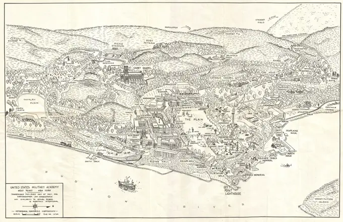
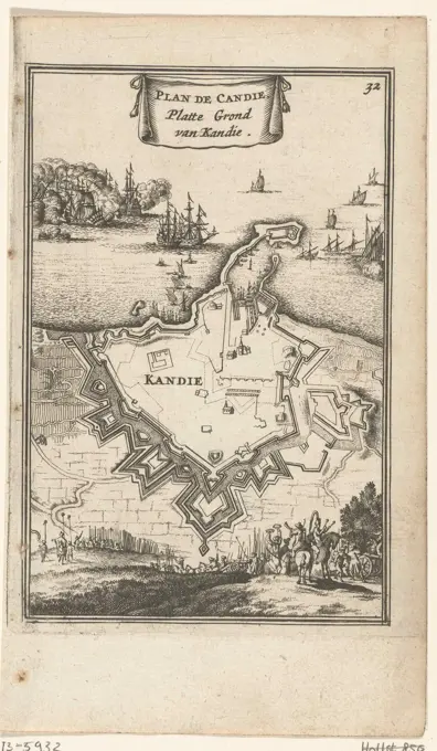
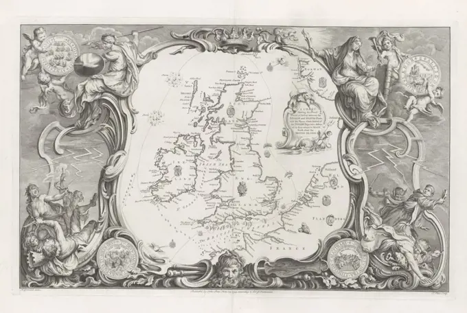
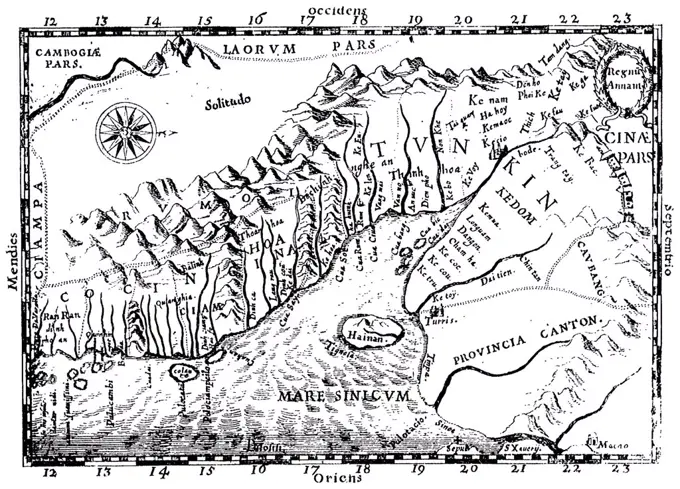
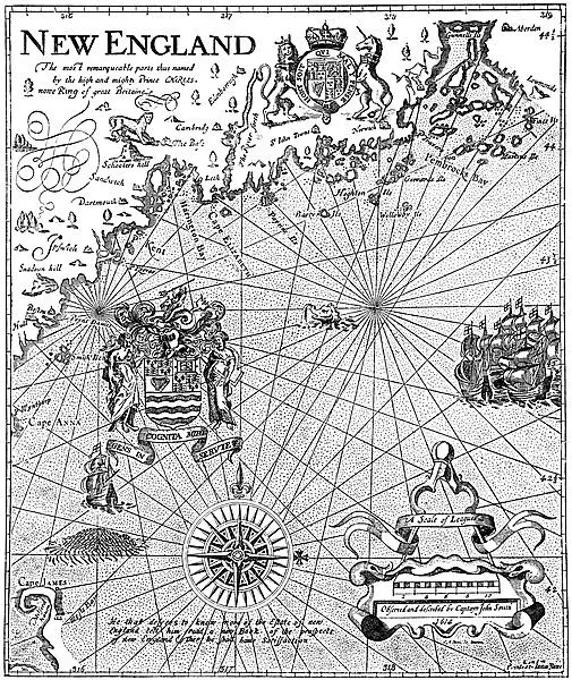
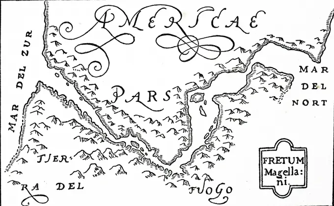
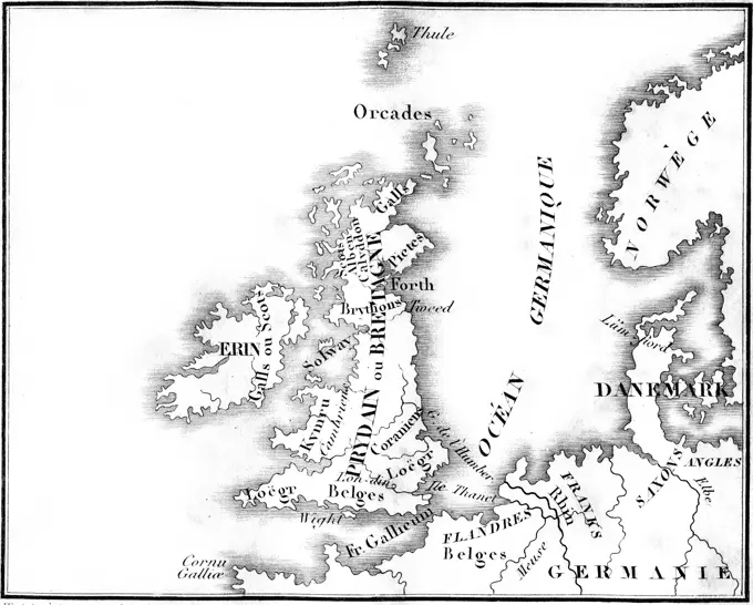
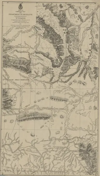
Maps of Historical Regions

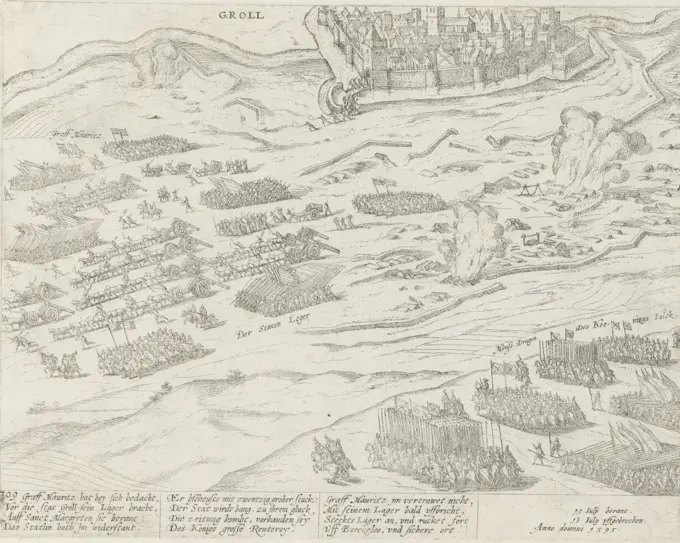
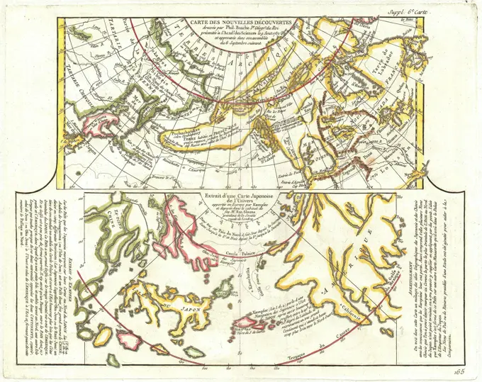
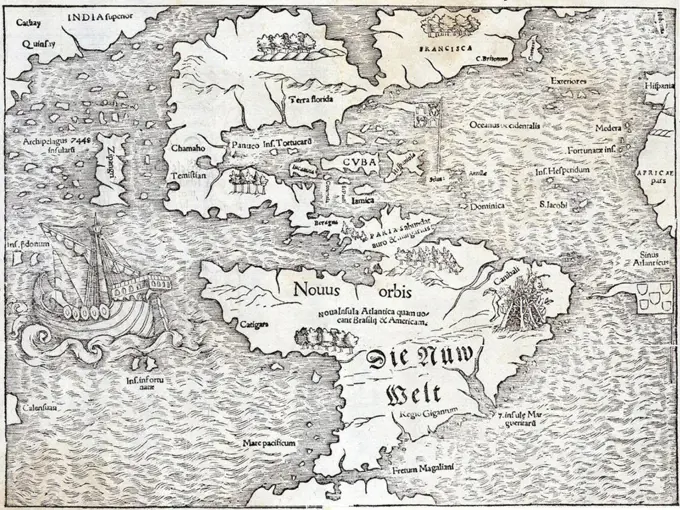
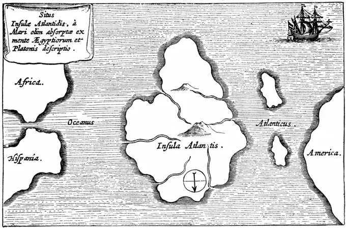
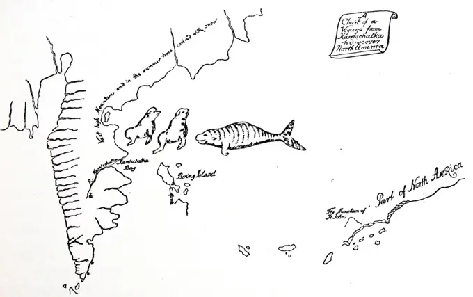
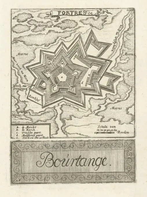
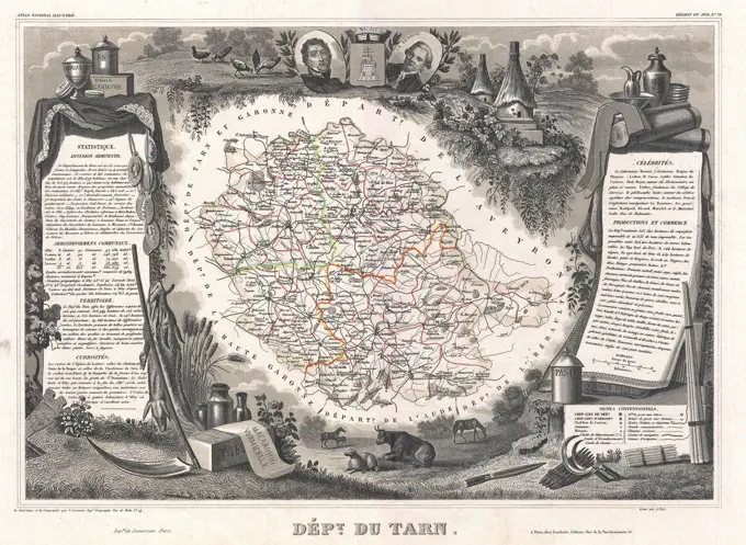
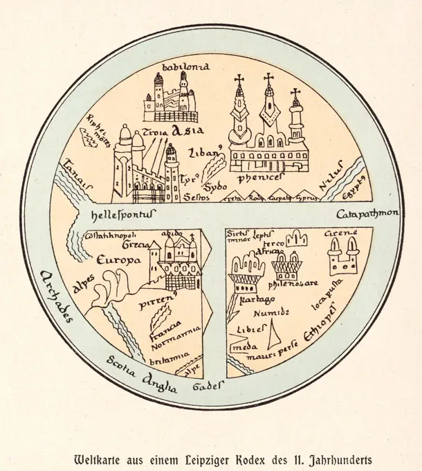
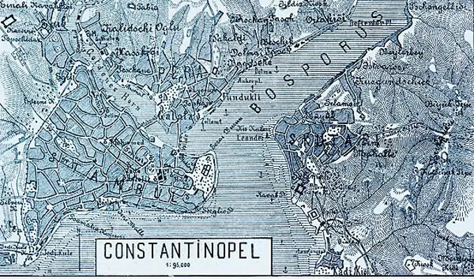
A collection of vintage maps depicting crucial historical events and geographical landmarks across various regions.

Karta severnoi Rossii I.Massy. Str.18, 1899., 1899., Kiev. Publisher, Tip. S.V. Kulʹzhenko. Cartography, Russia, History, Russia
271 assets in this story
6145-59238224
The three armies in the Rhineland, 1620, 1620 print The three armies in the Rhineland, 1620. Four performances: The State Army under Maurits in Wesel, the Spanish army under Spinola in Koblenz and the army of the ununished princes in Oppenheim. With a map of the Rhineland between Frankfurt and Koblenz. Printed under the show 3 columns text with legends A-R, 1-10 and A-e in Dutch. Amsterdam paper etching / letterpress printing maps of separate countries or regions. troop movements, transportation Wesel. Koblenz. Oppenheim
4443-73258933
Cologne, Hogenberg, French, Series 10: Dutch and Foreign Events, 1587-1612, Maurits lifts the siege of Grol, 1595, present-day Groenlo, on 18 July 1595. The siege, begun by Prince Maurits on 4 July, is broken off. The Dutch army sounds the retreat when Mondragon's army is approaching. With a 12-line caption in German. Numbered lower left: 309. The print is part of an album., print, picture, news print, album sheet, prints, pictures, Frederik Muller History plates, height 218 mm, width 280 mm, Dutch, German, 1540 - 1590, print maker, printmaker, 1595 - 1597, paper, papier, etching, etchings
6145-29095981
1754 Bellin Map of Mexico City Environs
6145-29096097
1772 Vaugondy - Diderot Map of Alaska, the Pacific Northwest and the Northwest Passage
6145-45627522
Card with the construction of the Spanish chance at Zandvliet, 1627; Pas-Caert Vande Ghelge N Theyt Vande Schans in Santvliet; Show n the cross-watered countries, new Aengasse N Gorsingen, and DE The crusher of the killing in and DE by the SELVE between N Bergen op Zoom and Antwerp; Cort Verhael and Perfect Imagehe der Ghlegentheyt from Sant-Vliet / Mitsgaders The fortress on Hooger-yard / ende the new-grayed Schansen daer escaped. Map with the river and creek area between the Ooster and Westerschelde with the construction of the Spanish Schans at Zandvliet, 1627. With the attack of Spinola on Zuid-Beveland, September 1627. Under the plate printed a text in 5 columns in Dutch .
6145-45653373
Floor plan of Groenlo, 1631-1632; Groll. Floor plan of Groenlo. With legend 1-3. Part of a group of maps of cities, forts and dikes in Brabant conquered by the state army under Frederik Hendrik in the years 1631-1632.
1899-48080275
Serra San Quirico (Italia, Marche - provincia di Ancona),  Cartoteca Regionale. Territorio d'Ascoli Della Marca Anconitana già Capitale d'Essa (1690-99), Vincenzo Coronelli
4443-73256601
Netherlands, Harrewijn, Jacobus, Fortresses and fortified places conquered by the French in 1672, Sheet with 8 large and 17 smaller maps of the fortresses and fortified places conquered by the French in 1672., print, picture, map, historical print, prints, Frederik Muller Historieplaten, height 298 mm, width 385 mm, South Netherlands, 1660 - 1740, print maker, printmaker, 1684 - 1684, fourth quarter 17th century, paper, papier, etching, etchings
6145-30276871
Plan of the Battle of Zorndorf on August , Christian Glaßbach Sen, Copper Engraver, After, Abraham von Humbert -, drawer
6145-45791196
Map of Friesland; New map from Friesland. Map of Friesland with the Above the weapon of Friesland. At the top right a legend of I-XXX with the names of the different regions. Bottom right a woman is busy stacking peat tagging.
6145-55916840
Quarta Europe tabula continet Germaniam. Title from verso. Map of ancient Germania, east of the Rhine, and west of the Vistula River, encompassing present day Germany, Poland, and the Czech Republic. Engraved on wood with place names in moveable type. Includes names of places and natural features. In margin: notes on latitude. Appears in the author's Geographia. Ulm : Lienhart Hol, 16 July 1482. Text in Latin. Cataloging, conservation, and digitization made possible in part by The National Endowment for the Humanities: Exploring the human endeavor.... , Germany Poland Czech Republic
6145-48718420
A perspective view of Lake George : Plan of Ticonderoga , George, Lake N.Y. : Lake, Aerial views, Early works to 1800, Ticonderoga N.Y., History, French and Indian War, 1754-1763, Maps Norman B. Leventhal Map Center Collection
1746-19662343
Map of the New World by Sebastian Munster, 1540, showing the name Atlantis Island
1010-15297
16th Century Map By De Bray Maps
1525-27766021
Roman Britain map, vintage engraved illustration. Colorful History of England, 1837.
4128-18799242
Map of the Cape, South Africa, in the 17th century
6145-52359229
Nova Virginiae tabvla Cartographic. Maps. 1673. Lionel Pincus and Princess Firyal Map Division. Virginia , Maps , Early works to 1800
1746-19628562
Legendary island of Atlantis described by Plato and said to lie just beyond the Pillars of Hercules (Gibraltar and Mount Hacho). Engraving after description by Athanasius Kircher (1602-1680) German Jesuit priest and scientist.
6145-55956411
A new map shewing all the severall countries, cities, towns and other places mentioned in the New Testament 1 - in Greece Cyprus, Asia and parts adjoining; 2 - in Italy, Mesopotamia &c.; 3 - in the Holy Land and parts adjoining. Places in the New Testament. Cartographic. Maps, Atlases. 1700. Lionel Pincus and Princess Firyal Map Division. Atlases, British, Geography, Ancient, Maps in education , England, Maps
4409-18979944
MAPA GEOGRAFICO DE UNA PARTE DE LA PROVINCIA DE BURGOS - 1784 - (PARTE TERCERA). Author: LOPEZ TOMAS. Location: BIBLIOTECA NACIONAL-COLECCION. MADRID. SPAIN.
6145-29095858
1944 Cumberpatch View or Map of West Point Military Academy, New York
6145-50569128
Limited edition, 500 only of a pictorial map covering the New England States U.S.A , New England, Maps Norman B. Leventhal Map Center Collection
6145-45775232
Illustration for 'The Labor of Mars' by Allain Manesson Mallet. Map of Candie (nowadays Heraklion). Including soldiers with turbans (siege forces). In the top right of the number 32 (= the number of the page in the book to which the illustration is placed).
6145-48718170
Tabu. nova Can , Crete Greece, Maps, Early works to 1800 Norman B. Leventhal Map Center Collection
6145-59239110
Siege of Breda, 27 August 1624-5 June 1625, 1650 - 1691 print Large show in six magazines of the siege of the city of Breda in the years 1624 and 1625 by the Spaniards led by Ambrogio Spinola. Central is a map of the besieged city, surrounded by siege works and camps. In the middle plan, right under Breda, a tent camp. In the middle plan and the foreground on the right the Spanish army en route. In the foreground on the left and middle a village that is looted by soldiers. At the very front left a few soldiers and engineers. At the very front right captain Spinola on horseback and the carriages with Isabella Clara Eugenia. At the top left the weapon of King Philip IV of Spain. At the top right the coat of arms of Isabella Clara Eugenia, governors about the Netherlands. In the middle of the weapon of Ambrogio Spinola. To the performance an ornament edge. The multilingual legend that belongs to this print, as witnessed by the numbers here and there in the show, has been lost, but would e
4430-5700
cartography world maps world map from the World Chronicle of Marcin Bielski woodcut Poland 1551,
6145-55167694
Tabu. nova Can. Map of Crete. Relief shown pictorially. Includes names of places and natural features. Descriptive text within ornamental borders on verso. Appears in the author's Geographia, translated by Willibald Pirckheimer, with annotations by Joannes Regiomontanus. Argentoragi i.e. Strasbourg : Iohannes Grieningerus, communibus Iohannis Koberger impensis excudebat, anno a Christi Natiuitate 1525 tertio Kalendas Apriles. Text in Latin. Cataloging, conservation, and digitization made possible in part by The National Endowment for the Humanities: Exploring the human endeavor... Tabula nova Candiae Tabu. neoterica Cretae sive Candiae. Tabula nova Candiae Tabu. neoterica Cretae sive Candiae, Greece  , Crete  ,region
1746-19700298
The Pillars of Hercules, as shown in the Anglo-Saxon map of the world, tenth century.
6145-29258018
Map of 16th century Carribean.
1899-19188529
Thomas Fuller (1608-1661) was an English churchman, historian and writer. Born in Aldwinker St Peter's, Northamptonshire, his father was rector of the community. He was admitted to Queens' College in Cambridge and did well academically. Fuller was a prolific author, one of the first English writers to live by his pen. He is particularly remembered for his Worthies of England, published in 1662 after his death.
4443-19375820
Map of Great Britain A Chart shewing the several Places of Action between the English and Spanish Fleets, with the Places where serval of the Spanish Ships were destroyed in their return to Spain. North about the British Islands (title on object), Map of Great Britain with Ireland on the left and the coasts of Norway, the Netherlands and France on the right. On the right a title shield with a lion with a banner and a putto with a trident. Various coats of arms have been placed on the map, including those of the English Queen Elizabeth I and the arms of Holland and Zeeland. The route indicated by the Spanish Fleet in 1588 is indicated at sea. The whole is contained in a cartouche with a Corona Navalis (ship's crown) on top and the head of Neptunus at the bottom. Brittannia is on the left. Her thunder and lightning touches Spain (Castile and León), Envy and Superstition. On the right the True Faith. She has a torch and a large Bible as attributes and directs lightning to Ignorance, Hypoc
4409-21427107
PLANO DE LA JURISDICCION DE CALAIS-1659. Location: ARCHIVO-COLECCION. Simancas. Valladolid. SPAIN.
1746-1558
Legendary island of Atlantis described by Plato and said to lie just beyond the Pillars of Hercules (Gibraltar and Mount Hacho). Engraving after description by Athanasius Kircher (1602-1680) German Jesuit priest and scientist
1899-18791887
One of the earliest Western maps showing details of northern and central Vietnam appeared in Father Alexander de Rhodes' 'Histoire du royaume de Tunquin', published in Rome in 1650. This map is from the French edition, published a year later in Lyon. Oriented with the north to the right, 'Regnu Annam' shows the extent of seventeenth-century Vietnam, then divided between two rival dynasties, one in the north and the other in central Vietnam. Remnants of the Cham kingdom, eventually destroyed by the Vietnamese, still exist in the south. To the west, are the highlands occupied by 'Rumoi' (upland minority groups, later called 'montagnards' by the French). The limited Western knowledge of the interior is illustrated by the large region labeled 'Solitudo'.
1848-61842483
Historical drawing from the U.S. history, detail of a map from 1606, by Captain John Smith, 1580-1631
1746-29957998
Woodcut engraving based on Jodocus Hondius' map showing the Straits of Magellan and Terra del Fueogo. Magellan passed through the Straits and round Cape Horn during his voyage of circumnavigation. Jodocus Hondius (1563-1612) a Flemish engraver and cartographer. Dated 16th century
6188-55551176
Map of Britain before the Roman conquest, vintage engraving. Map of Britain before the Roman conquest, vintage engraved illustration. Colorful History of England, 1837. Copyright: xZoonar.com/PatrickxGuenettex 10648695
1788-36691
Cartography, 17th century. General map of the states of his Royal Highness, 1680, owned by the House of Savoy. 60 x 86.5 cm.
1848-61747000
Historic drawing, facsimile of the first map of the New World, today known as America, 15th century
6145-59171991
Lazio Viterbo Bagnaia Villa Lante81. Hutzel, Max 1960-1990 German-born photographer and scholar Max Hutzel (1911-1988) photographed in Italy from the early 1960s until his death. The result of this project, referred to by Hutzel as Foto Arte Minore, is thorough documentation of art historical development in Italy up to the 18th century, including objects of the Etruscans and the Romans, as well as early Medieval, Romanesque, Gothic, Renaissance and Baroque monuments. Images are organized by geographic region in Italy, then by province, city, site complex and monument.
6145-50568129
Plan de la ville de Genes , Genoa Italy, Maps Norman B. Leventhal Map Center Collection
6145-52359104
Map of Tenochtitlan Cortés, Hernán, 1485-1547. Cartographic. Maps. 1524. Rare Book Division. Mexico , History , Conquest, 1519-1540
6145-59552075
Map with the planeties for the year 1732, David Coster, after Nicolaas Cruquius, c. 1732 print Map with the planeties jobs for the year 1732. Up and below tables with the position of the planets per month. In the middle maps with the track of the moon, sun and other planets. At the top right, the map is signed with the motto of Nicolaas Cruquius: Neminem Scientia Cruciat.  paper engraving star-chart, star map
6145-54279895
US Historical Documents. Photographs of Marshall Plan Programs, Exhibits, and Personnel
4443-75464609
Nova Virginiae tabvla, 1618. Issued in Amsterdam by Ex Officina Judoci Hondij. This early map of Virginia measures 37 x 47 cm and belongs to the category of maps from early works to 1800
1746-21102126
Peru and South America. From the Map of the World of 1544, usually ascribed to Sebastian Cabot. At the top is shown the River Amazon, discovered by Orellana in 1541.
4443-75475871
Campaign map of the Department of the Platte comprising that portion of Wyoming, sheet no. 4, 1874. Issued by the United States Army, Office of the Chief of Engineers., 1874, Washington D.C., Publisher, Published by authority of the Hon. Secretary of War in the Office of the Chief of Engineers, U.S. Army. The map features Indian reservations and indicates areas related to the Indians of North America in Wyoming., 1 map; 75 x 42 cm, on sheet 81 x 51 cm. NYPL Map Div. copy has accession no. stamped in lower left corner 59038
1746-19700402
The chart of Vitus Bering's (1681-1741) voyage from Kamchatka to North America. Bering was a Danish explorer and officer in the Russian navy. From a chart drawn in 1741 by Lieut. Waxell, a member of Behring's expedition.
6145-30275065
Vienna , da Turchi besieged and by Chri, ni freed, Albert von Cps , Lithographer, After, Leandro Anguissola , After, Domenico Rossetti,
1899-20225347
Belgium and Holland Map 1606.
1848-19472087
Historical map with the view of America at the beginning of the 16th century, Historical, digitally restored reproduction of a 19th century original
1848-50195288
Historical map with the view of America at the beginning of the 16th century, Historical, digitally restored reproduction of a 19th century original
4443-19375013
Map of the Bourtange fortress Fortres de Bourtange (title on object), Two prints on one sheet: At the top a print with a representation of the Bourtange fortress and below a print with the title in a cartouche. In the top print a part of the title on top of a ribbon, a legend at the bottom left and a scale at the bottom right. Above right: bl. 246, maps, atlases, Bourtange, Hendrik Hofsnider (mentioned on object), Groningen, 1743, paper, etching, h 104 mm × w 100 mm × h 36 mm × w 101 mm
6145-29094654
1852 Levasseur Map of the Department De Tarn, France
1746-1432
Early map of Massachusetts Bay, America, Woodcut
1746-29999843
Peru and South America: woodcut based on a map of the world of 1544, usually attributed to Sebastian Cabot.
6145-44259417
Saxony without the Lausitz. With border colorite
4220-2929
A German map of the world,showing various cities, rivers and seas Date: 11th century
5513-111538640
Map Shows Route of Wilkins Flight Over Top of World: A map illustrating the proposed route to be followed by Capt. G. H. Wilkins and his party when they make their flight over the top of the world to discover if possible the unknown continent which is believed to exist in the Arctic Regions. Capt. Wilkins has already left fairbanks for point barrow, from which point he will fly to Spitzbergen, over the north pole route. May 4, 1928. (Photo by International Newsreel Photo).
6145-59601444
Map of the Delfland Water Board, with Wassenaar, Zevenhuizen and Bleiswijk, upper part, Floris Balthasarsz. Van Berckenrode, 1611 - 1692 print With the weapons of the members of the Rijnland Water Board.  paper etching / engraving maps of separate countries or regions. armorial bearing, heraldry Delfland. Wassenaar. Zevenhuizen. Bleiswijk
1889-60423809
Map of Virginia.  "Virginia discouered and described by Captayn John Smith".  Engraved by William Hole.  Dated on map 1606.
6145-54269512
A vision of Private Kutschkes of the German National Guard = Traumgebild des deutschen Landwehrmanns Kutschke!. Caption below maps: As the German and Austrian armies plan the map of Europe = wie die deutsch-oesterreichischen heere dieselben gestalten werden! Includes text.. Promotion for Liberty Bonds, featuring an English translation of a German map visualizing a German Empire in Europe. Map in German also printed on sheet at a smaller scale.. Europe's future map Europa's zukunftskarte. Europe's future map Europa's zukunftskarte, Europe Europe
6145-54267605
Grundriss von der stadt Boston und ihren gegenden. Relief shown by hachures. Plate "No. 18." "T. XVI. B." From Allgemeine Historie der Reisen zu Wasser und Lande. 1758. Indexed.... , Massachusetts  , Suffolk  ,county   , Boston
6145-45653061
Map of the Netherlands in the Frankish time; The Netherlands in the Frankish period. Map of De Lage Landen in the Frankish time. With a global indication of the different regions.
1746-19700390
Nova Zembla and the Arctic Regions. From a map in De Bry's Grand Voyages, 1598.
6145-48720000
A vision of Private Kutschkes of the German National Guard - Traumgebild des deutschen Landwehrmanns Kutschke! , World War, 1914-1918, Europe, Maps, World War, 1914-1918, Propaganda, Europe, Maps Norman B. Leventhal Map Center Collection
6145-54550387
Spetsial'naia karta Ukrainy G. de Boplana 1650g. Tekst str.21 A special map of Ukraine by G.de Boplan, 1650. Text p.21 Cartographic. Maps. 1899. General Research Division. Cartography , Russia , History, Russia
1848-49519717
95, 000, ground plan, Skuta district, railway line, barracks, customs office, anchorage, mountains, hatching, historical illustration 1896, Constantinople, Istanbul, Istambul and surroundings, Turkey, Balkans, Bosporus, Golden Horn, Asia
6145-50547042
Historic Niagara Frontier , Niagara River Valley N.Y. and Ont., History, Maps Norman B. Leventhal Map Center Collection
6145-58925356
Cartoon - Soviet Map of Europe. John Collins (1917-2007)
6145-54550376
Karta Rossii Gerbershteina, pokrytaia lesami, iz latinskago izdaniia Zapisok o Moskovii, Basileae, 1556. Tekst str.8 A map of Russia by Gerbershtein, covered with forests, from Latin edition of Notes about Moscovia, Basel, 1556. Text p.8 Cartographic. Maps. 1899. General Research Division. Cartography , Russia , History, Russia
PREVIOUS
of 3
NEXT
2401 S. Ervay, Suite 206
Dallas, Texas 75215
United States
Get Started
Free ResearchMy BoardsMy Cart
For Creators
How To License Your ContentContributor PortalFrame of Mind
Resources
API accessPricing
Contact
+1 866 236 0087help@viewpictures.co.uk Contact form
©2026 View Pictures. All Rights Reserved. -A
This site is protected by reCAPTCHA and Google Privacy Policy and Terms of Service apply.