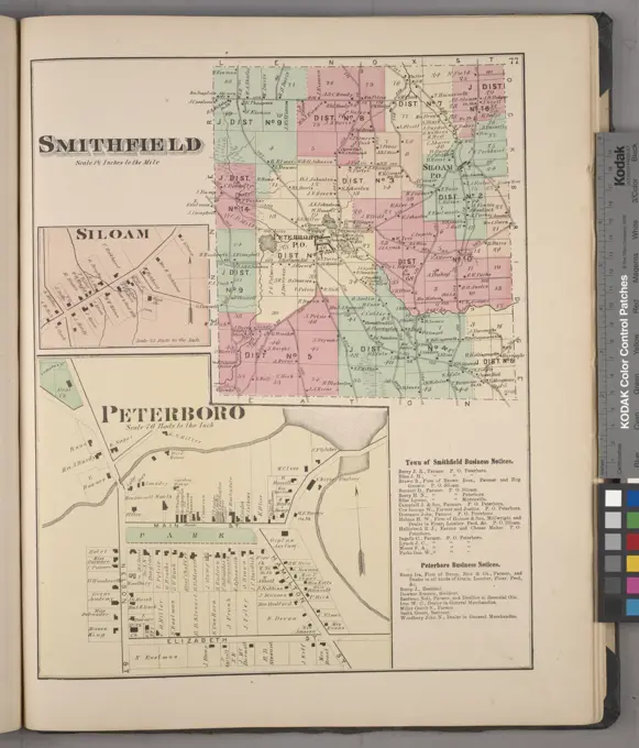
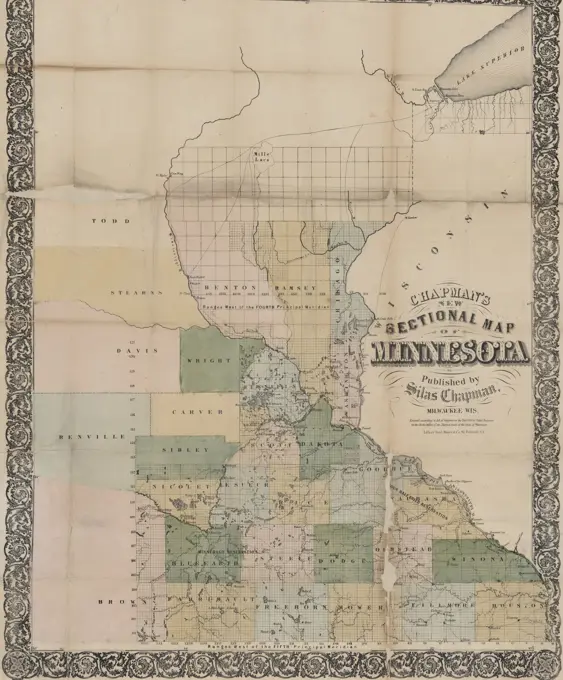
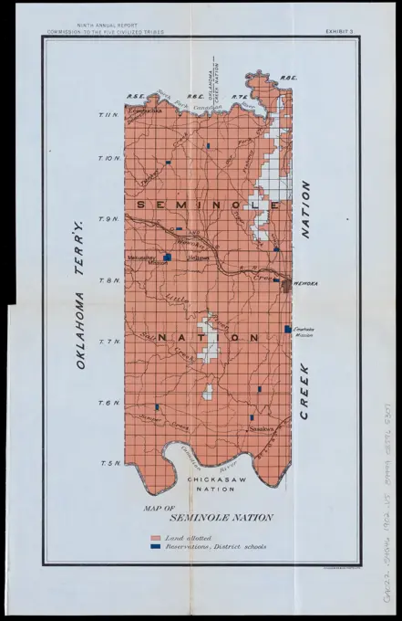
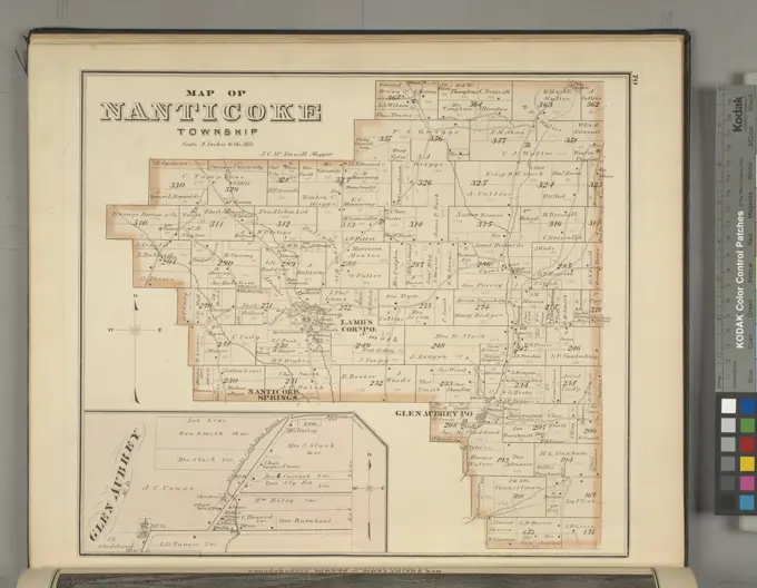
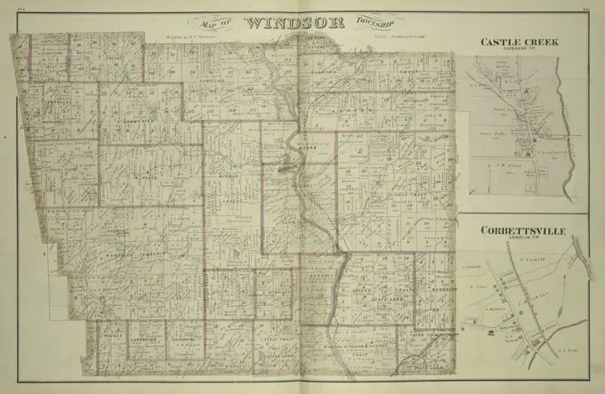
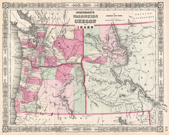
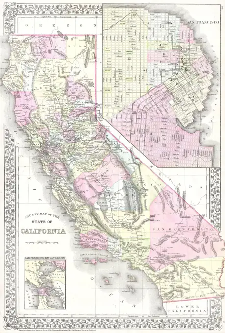
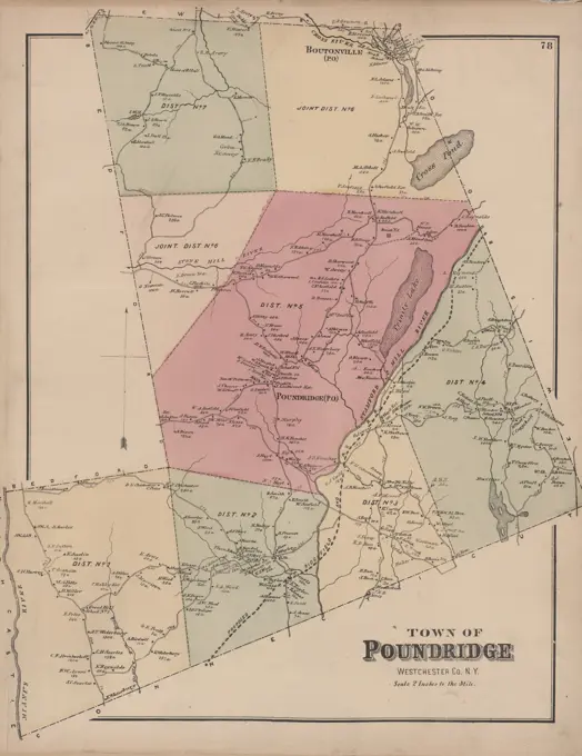
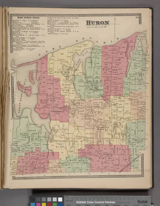
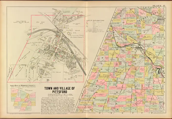
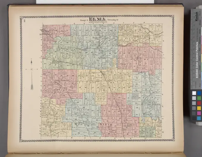
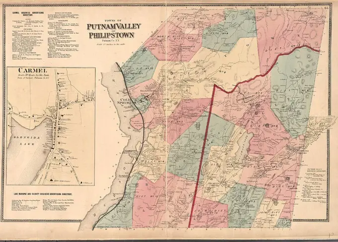
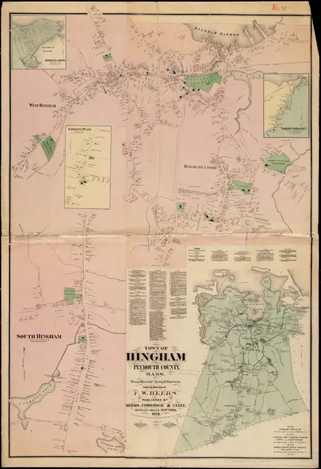
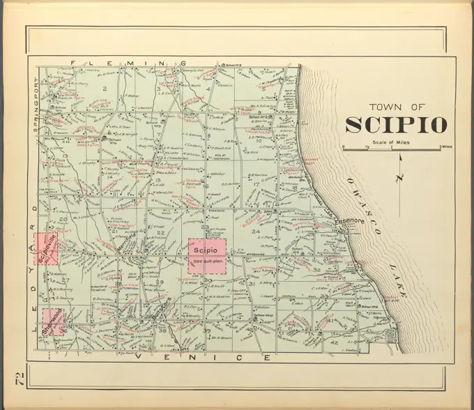
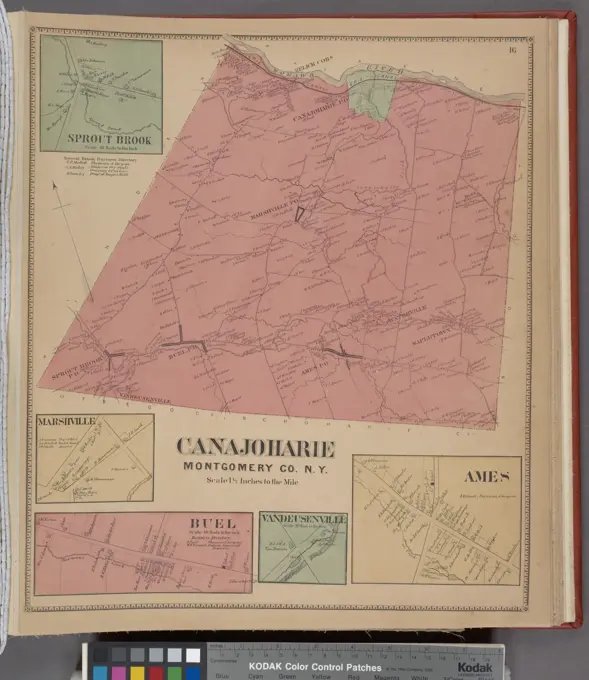
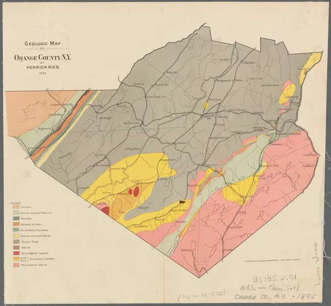
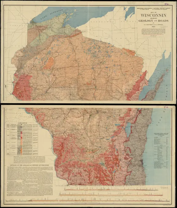
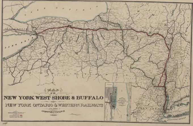
Maps of the United States

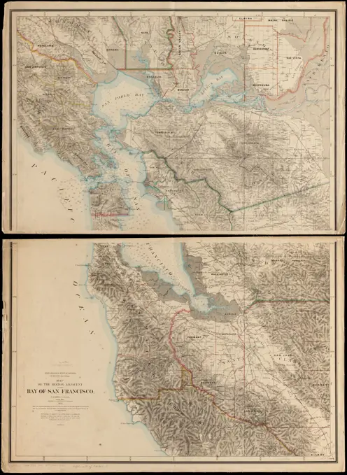
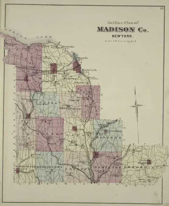
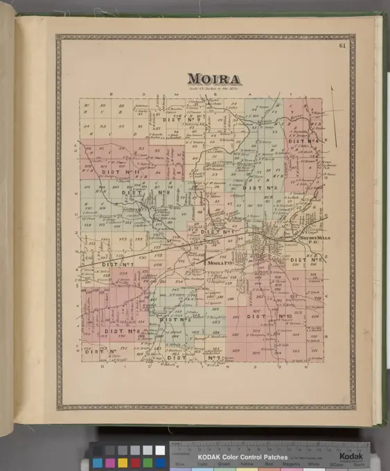
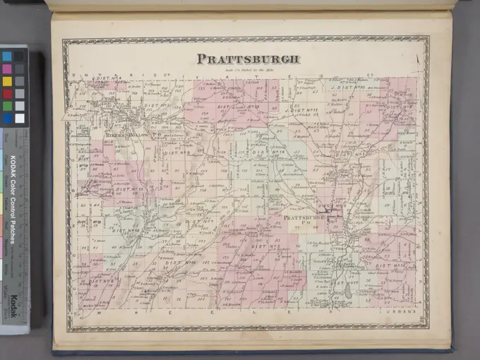
Detailed historical maps marking state boundaries, land grants, and geographical features across various states like New Mexico and Colorado.

Map of Sennett Township, City of Auburn, and Cold Spring Pump Village, published in 1875 by Walker & Jewett. The map is focused on real property in Cayuga County, New York
Map of the surface formations of the southern peninsula of Michigan , Michigan, Maps, Geology, Michigan, Maps Norman B. Leventhal Map Center CollectionSmithfield Township; Siloam Village; Peterboro Village; Town of Smithfield Business Notices; Peterboro Business Notices Cartographic. Atlases, Maps. 1875. Lionel Pincus and Princess Firyal Map Division. Madison County (N.Y.), Real property , New York (State) , Madison County, Business enterprises , New York (State) , Madison CountyChapman's new sectional map of Minnesota, issued in 1856 by Silas Chapman. The map is hand-colored and measures 66 x 53 cm, folded in covers that are 15 x 10 cm. It depicts public lands, Indian reservations, roads, and administrative and political divisions within Minnesota. The New York Public Library's Map Division copy is encased in mylar and filed flat with its original coversKlomp Johannes Franziskus (1865-1946), St. Antonius von Padua, Rheine (1899-1904): cornice on the side aisles and details of the consoles on the bow frieze 1: 1. Pencil watercolored to transparent, 104.7 x 82 cm (including scan edges)Territories of New Mexico & Arizona , New Mexico, Maps, Arizona, Maps, Southwest, New, Maps Norman B. Leventhal Map Center CollectionPost route map of the territory of Utah with adjacent parts of the states of Nevada, Idaho, Wyoming and Colorado and the territory of Arizona : showing post offices with the intermediate distances and mail routes in operation on the 1st of December, 1895. Shows county boundaries, railroads, and post routes reflecting frequency of delivery. Prime meridians: Washington and Greenwich. Relief shown by hachures. Includes list of counties showing relative position. "The service on this diagram brought up to date of Dec. 1st 1895."... , UtahMap of Seminole Nation , Seminole Nation of Oklahoma, Maps, Seminole Indians, Land tenure, Seminole Nation of Oklahoma, Maps, Real property, Seminole Nation of Oklahoma, Maps, Schools, Seminole Nation of Oklahoma, Maps, Indian reservations, Oklahoma, Maps, Seminole Indians, Oklahoma, Maps Norman B. Leventhal Map Center CollectionA map of Canaan Township, dated 1873, published by D. G. Beers & Co. in Philadelphia. It features real property and business enterprises in Columbia County, New YorkMap of Nanticoke Township; Glen AubreyVillage Cartographic. Atlases, Maps. 1876. Lionel Pincus and Princess Firyal Map Division. Broome County (N.Y.)Map of Windsor Township, including Castle Creek, Chenango TP Village, and Corbettsville, Conklin TP Village. Issued in 1876 by Everts, Ensign & Everts, published in Philadelphia. Located in Broome County, New YorkTree Identification - Popular. Photographs Relating to National Forests, Resource Management Practices, Personnel, and Cultural and Economic History1864 Johnson Map of Washington, Oregon, and IdahoTopographic map of Lawrence County, Illinois. Relief shown by contours and spot heights. Includes location map, legend, and explanation of topographic map... County, Illinois. County, Illinois, Illinois  , Lawrence  ,countyGeological and topographical map of Crows Nest coal-fields, East Kootenay District, B.C. ; Geological sketch map of part of the Blairmore-Frank coal-fields, southern Alberta , Coal, Alberta, Maps, Coal, British Columbia, Maps, East Kootenay B.C., Maps, Alberta, Maps, British Columbia, Maps Norman B. Leventhal Map Center CollectionTown of Alexander Township Cartographic. Atlases, Maps. 1876. Lionel Pincus and Princess Firyal Map Division. Genesee County (N.Y.), Real property , New York (State)Genoa Township; Five Corners P.O. Village; Little Hollow Village; Atwater P.O. Village; East Genoa P.O. Village; Goodyears P.O.Village; Northville Village Cartographic. Atlases, Maps. 1875. Lionel Pincus and Princess Firyal Map Division. Cayuga County (N.Y.), Real property , New York (State) , Cayuga CountyMap of the Parish of Tensas, Louisiana : from United States Surveys , Landowners, Louisiana, Tensas Parish, Maps, Tensas Parish La., Maps Norman B. Leventhal Map Center CollectionThe Canadian west , Canadian Bank of Commerce, Maps, Banks and banking, Canada, Western, Maps, Canada, Western, Maps Norman B. Leventhal Map Center CollectionRichfield Springs Business Directory. ;Town of Richfield, Otsego Co. N.Y. Township; Brighton Corners Village; Monticello Village Cartographic. Atlases, Maps. 1868. Lionel Pincus and Princess Firyal Map Division. Otsego County (N.Y.), Real property , New York (State) , Otsego County1881 Mitchell Map of California w- San Francisco InsetState of Illinois , Public lands, Illinois, Maps, Illinois, Maps, Illinois, Surveys Norman B. Leventhal Map Center CollectionNiles Township; Newhope Village; Nine Corners Village; Pennyville Village; Twelve Corners Village; Kelloggsville P.O. Village Cartographic. Atlases, Maps. 1875. Lionel Pincus and Princess Firyal Map Division. Cayuga County (N.Y.), Real property , New York (State) , Cayuga CountyOutline plan of Franklin Co. Cartographic. Atlases, Maps. 1876. Lionel Pincus and Princess Firyal Map Division. Franklin County (N.Y.), Real property , New York (State)Colden Village; Colden Township; Colden Business Directory. Cartographic. Atlases, Maps. 1866. Lionel Pincus and Princess Firyal Map Division. Erie County (N.Y.)Geologic map of Illinois , Geology, Illinois, Maps Norman B. Leventhal Map Center CollectionAtlas of the towns of Revere and Winthrop, Suffolk County, Massachusetts : Index map of the town of Revere, Massachusetts , Revere Mass., Maps Norman B. Leventhal Map Center CollectionPlate 78 Town of Poundridge, Westchester County, New York, issued in 1872 by J.B. Beers & CoIraq water supply and land use. Also shows isohyets. Relief shown by contour lines. "29 June 1943." Includes location map. "Map no. 2058." "Project no. SR-29-103."... , IraqHuron Business Notices; Huron Township Cartographic. Atlases, Maps. 1874. Lionel Pincus and Princess Firyal Map Division. Real property , New York (State) , Wayne County, Wayne County (N.Y.), Business enterprises , New York (State) , Wayne CountyIndian Territory , Indian Territory, Maps, Oklahoma, Maps, Indian reservations, Oklahoma, Maps Norman B. Leventhal Map Center CollectionLumberman's map of northern Maine , Maine, Maps, Roads, Maine, Maps Norman B. Leventhal Map Center CollectionMonroe County, Double Page Plate No. 15 Map of town of village of Pittsford Cartographic. Atlases, Maps. 1902. Lionel Pincus and Princess Firyal Map Division. Monroe County (N.Y.), Real property , New York (State) , Monroe County19th century map of Manitoba. Published in New Dollar Atlas of the United States and Dominion of Canada. (Rand McNally & Co's, Chicago, 1884).Map of the region adjacent to the bay of San Francisco. Relief shown by hachures. Depths shown by soundings and isolines.... , California  , San Francisco BayForest map of the Yakima Region, Washington Ter. showing the predominant elements of the forest covering , Forests and forestry, Washington State, Yakima River Valley, Maps, Trees, Washington State, Yakima River Valley, Maps, Yakima River Valley Wash., Maps Norman B. Leventhal Map Center CollectionKiirunavaara.Kiruna Many Kronology.ur Carl Sahlin Mountain History Collection.Map of Manitoba. Shows railways constructed and projected, with stations, over a base map with provincial electoral divisions. Relief shown by hachures.... , Canada  , Province of Manitoba  ,provinceTerritory of Idaho , Idaho, Maps Norman B. Leventhal Map Center CollectionKart over Kristiania , Oslo Norway, Maps Norman B. Leventhal Map Center Collection1864 Johnson Map of Washington, Oregon Idaho ( Wyoming Montana )Sprout Brook Village; Vandeusenville Village; Marshville Village; Canajoharie Montgomery Co. Township; Buel Village; Ames Village, 1868, New York, Publisher, Stranahan & Nichols, Real property, New York (State), Montgomery County, Fulton CountyMap of Manitoba , Railroads, Manitoba, Maps, Manitoba, Maps Norman B. Leventhal Map Center CollectionMap of Windsor Township; Castle Creek, Chenango TP Village; Corbettsville, Conklin TP Village Cartographic. Atlases, Maps. 1876. Lionel Pincus and Princess Firyal Map Division. Broome County (N.Y.), Windsor (N.Y.)1873 Gray Railroad Map of Minnesota and IowaMap of the Dominion of Canada : indicating natural resources, transportation and trade routes , Natural resources, Canada, Maps, Trade routes, Maps, Transportation, Canada, Maps, Canada, Economic conditions, Maps Norman B. Leventhal Map Center CollectionAlberta, southern : map showing disposition of lands , Land use, Alberta, Maps, Land grants, Alberta, Maps, Real property, Alberta, Maps, Alberta, Maps Norman B. Leventhal Map Center CollectionMap of Massachusetts showing state highways laid out & petitioned for , Massachusetts, Maps, Roads, Massachusetts, Maps Norman B. Leventhal Map Center CollectionDecatur Village; South New Berlin Village; Town of Decatur, Otsego Co. N.Y. Township Cartographic. Atlases, Maps. 1868. Lionel Pincus and Princess Firyal Map Division. Otsego County (N.Y.), Real property , New York (State) , Otsego CountyErwin Township Cartographic. Atlases, Maps. 1873. Lionel Pincus and Princess Firyal Map Division. Steuben County (N.Y.), Real property , New York (State) , Steuben County, Business enterprises , New York (State) , Steuben CountyElma Township Cartographic. Atlases, Maps. 1880. Lionel Pincus and Princess Firyal Map Division. Erie County (N.Y.), Real property , New York (State) , Erie CountyGeological map showing the distribution of the portage group: in Seneca, Schuyler, Yates, and parts of Tompkins and Ontario Counties Cartographic. Maps, Geological maps. 1895. Lionel Pincus and Princess Firyal Map Division. Geology , New York (State) , Seneca County, Geology , New York (State) , Finger Lakes (N.Y.), Seneca County (N.Y.)Large folder - L1.Saskatchewan : map showing disposition of lands , Land use, Saskatchewan, Maps, Saskatchewan, Maps Norman B. Leventhal Map Center CollectionTown of Hingham Plymouth County, Mass : from recent and actual surveys , Real property, Massachusetts, Hingham, Maps, Landowners, Massachusetts, Hingham, Maps, Hingham Mass., Maps Norman B. Leventhal Map Center CollectionPrincetown Towship Cartographic. Atlases, Maps. 1866. Lionel Pincus and Princess Firyal Map Division. Schenectady County (N.Y.), Princetown (N.Y. : Town)Town of Hingham Plymouth County, Mass : from recent and actual surveys , Real property, Massachusetts, Hingham, Maps, Landowners, Massachusetts, Hingham, Maps, Hingham Mass., Maps Norman B. Leventhal Map Center CollectionCayuga County, Left Page Map of town of Scipio Cartographic. Atlases, Maps. 1904. Lionel Pincus and Princess Firyal Map Division. Real property , New York (State) , Herkimer County, Herkimer County (N.Y.) , Description and travelSprout Brook Village; Sprout Brook Business Directory; Vandeusenville Village; Vamdeusenville Business Directory; Marshville Village; Canajoharie Montgomery Co. Township; Buel Village; Ames Village Cartographic. Atlases, Maps. 1868. Lionel Pincus and Princess Firyal Map Division. Real property , New York (State) , Montgomery County, Real property , New York (State) , Fulton County, Montgomery County (N.Y.), Fulton County (N.Y.)Hornellsville Township; Arkport Village Cartographic. Atlases, Maps. 1873. Lionel Pincus and Princess Firyal Map Division. Steuben County (N.Y.), Real property , New York (State) , Steuben County, Business enterprises , New York (State) , Steuben CountyMap of the Indian Territory : showing the progress and status of townsite surveys, under the direction of the United States Indian Inspector for the Indian Territory, June 20, 1902 , Indian Territory, Maps, Oklahoma, Maps, Cities and towns, Indian Territory, Surveys, Maps, Indian reservations, Oklahoma, Maps Norman B. Leventhal Map Center CollectionOutline Plan of Madison Co. New York Cartographic. Atlases, Maps. 1875. Lionel Pincus and Princess Firyal Map Division. Madison County (N.Y.), Real property , New York (State) , Madison County, Business enterprises , New York (State) , Madison CountyMap showing progress of allotment in Creek Nation , Muscogee Creek Nation, Maps, Seminole Nation of Oklahoma, Maps, Creek Indians, Land tenure, Muscogee Creek Nation, Maps, Real property, Muscogee Creek Nation, Maps, Indian reservations, Oklahoma, Maps Norman B. Leventhal Map Center CollectionMap showing progress of allotment in Creek Nation. Relief shown by hachures. Detached from a United States House of Representatives document in the United States congressional serial set (Serial Set 4459 H.doc.5/4), following page 164: Annual reports of the Department of the Interior for the fiscal year ended June 30, 1902. Indian affairs, part II. Washington : Government Printing Office, 1903. In top margin: "Ninth annual report, Commission to the five civilized tribes. Exhibit 2.". Base map of Muscogee (Creek) Nation and Seminole Nation in what would later be east-central Oklahoma, colored to show land allotments in Muscogee (Creek) Nation only. "Shaded portions represent selections possibly should read: sections filed on since opening of Land Office April 1st 1899 to June 30 1902." Also shows Public Land Survey System townships and sections, railroads, cities and towns, and water features... , OklahomaGeologic map of Orange County, N.Y. Cartographic. Maps, Geological maps. 1895. Lionel Pincus and Princess Firyal Map Division. Geology , New York (State) , Orange County, Orange County (N.Y.)Map of Manitoba shewing provincial government lands for sale , Railroads, Manitoba, Maps, Land use, Manitoba, Maps, Real property, Manitoba, Maps, Land tenure, Manitoba, Maps, Manitoba, Maps Norman B. Leventhal Map Center CollectionMarilla Village Cartographic. Atlases, Maps. 1880. Lionel Pincus and Princess Firyal Map Division. Erie County (N.Y.), Real property , New York (State) , Erie CountyMap showing progress of allotment in Creek Nation , Muscogee Creek Nation, Maps, Seminole Nation of Oklahoma, Maps, Creek Indians, Land tenure, Muscogee Creek Nation, Maps, Real property, Muscogee Creek Nation, Maps, Indian reservations, Oklahoma, Maps Norman B. Leventhal Map Center CollectionCanisteo Township Cartographic. Atlases, Maps. 1873. Lionel Pincus and Princess Firyal Map Division. Steuben County (N.Y.), Real property , New York (State) , Steuben County, Business enterprises , New York (State) , Steuben CountyWayland Township; Perkinsville Village Cartographic. Atlases, Maps. 1873. Lionel Pincus and Princess Firyal Map Division. Steuben County (N.Y.), Real property , New York (State) , Steuben County, Business enterprises , New York (State) , Steuben CountyGeographical, topographical, state highway and railroad map of California. Relief shown by hachures and spot heights. Includes text, chart of steamship lines, and a map comparing size of California with other states. Shows highways, railroads and steamship lines.... , CaliforniaMap of Wisconsin showing geology and roads. Engraved and printed by A. Hoen & Co., Balto; mounted by A.J. Nvstrom & Co., Chicago--Lower right margin. Includes 3 cross-sections showing bedrock. Includes outline of the geological history of Wisconsin and list of elevations.... , WisconsinBöhmer Franz (1907-1943), official apartment of the Reich Foreign Minister Joachim von Ribbentrop in Berlin-Mitte (1941-1941): Details on the balcony on the garden wing 1: 1. Pencil on transparent, 62.2 x 45.9 cm (including scan edges) Böhmer & Petrich : Dienstwohnung des Reichsaußenministers Joachim von Ribbentrop, Berlin-Mitte. UmbauMiddle Ebenezer Village; Middle Ebenezer Business Directory; West Seneca Township Cartographic. Atlases, Maps. 1866. Lionel Pincus and Princess Firyal Map Division. Erie County (N.Y.)Victory Township Cartographic. Atlases, Maps. 1875. Lionel Pincus and Princess Firyal Map Division. Cayuga County (N.Y.), Real property , New York (State) , Cayuga CountyIndian Territory showing townsites approved to June 30-1902 , Indian Territory, Maps, Oklahoma, Maps, Cities and towns, Indian Territory, Maps, City planning, Indian Territory, Maps, Indian reservations, Oklahoma, Maps Norman B. Leventhal Map Center CollectionMap of Schenectady County Cartographic. Atlases, Maps. 1866. Lionel Pincus and Princess Firyal Map Division. Schenectady County (N.Y.)Map of the New York West Shore & Buffalo and New York Ontario & Western railways and their connections, issued in 1882., New York, N.Y., 1882., 1 hand-colored map measuring 48 x 74 cm on a sheet 58 x 86 cm. Topics include railroads in New York StateCobb's latest map of the Rosebud Reservation, South Dakota, to be opened for settlement Aug. 8, 1904. Relief shown by hachures. Accompanying text (8 pages ; 19 cm) includes preface, presidential proclamation opening the reservation, circular listing qualifications to homestead entry, and text about section corners. "Copy illegible by A.H. Cobb June 20, 1904.".. Newest and latest quarter-sectional map of the Rosebud Reservation, Gregory County, South Dakota : with President's proclamation, how to read corner stones, and other information. Newest and latest quarter-sectional map of the Rosebud Reservation, Gregory County, South Dakota : with President's proclamation, how to read corner stones, and other information, South Dakota  , Rosebud Indian Reservation South Dakota  , Gregory  ,countyMaps and Charts - All States. Photographs Relating to National Forests, Resource Management Practices, Personnel, and Cultural and Economic HistoryOutline Plan of Madison County, New York, issued in 1875. Published in Philadelphia by Pomeroy and Whitman. The plan includes details related to real property and business enterprises in Madison County, New YorkMoira Township Cartographic. Atlases, Maps. 1876. Lionel Pincus and Princess Firyal Map Division. Franklin County (N.Y.), Real property , New York (State)Map of the county of Onondaga 1829 - 1839. Cartographic. Atlases, Maps. Lionel Pincus and Princess Firyal Map Division. New York (N.Y.), Onondaga County (N.Y.) , Maps, Real property , New York (State) , Onondaga CountyPrattsburgh Township Cartographic. Atlases, Maps. 1873. Lionel Pincus and Princess Firyal Map Division. Steuben County (N.Y.), Real property , New York (State) , Steuben County, Business enterprises , New York (State) , Steuben CountyNew railway, post office and municipal map of Manitoba : compiled from the latest government surveys and other official sources , Railroads, Manitoba, Maps, Manitoba, Maps Norman B. Leventhal Map Center Collection