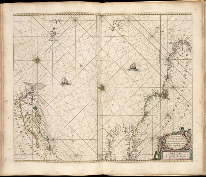
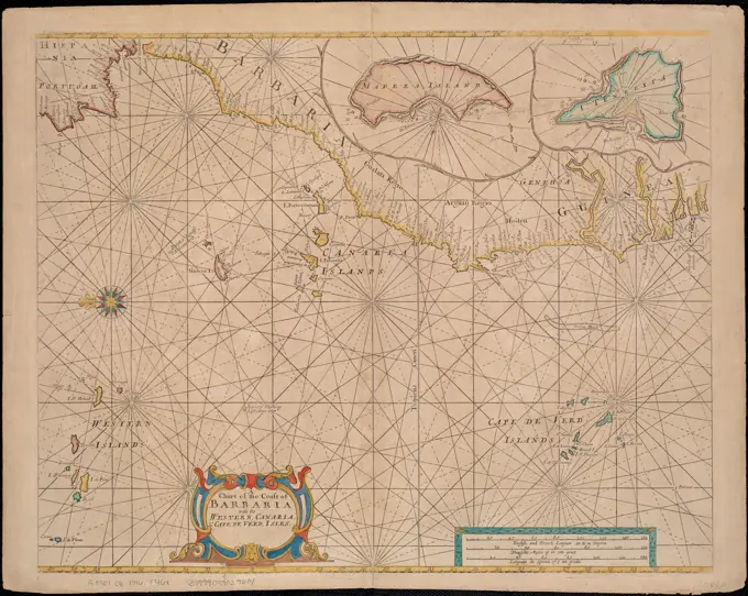
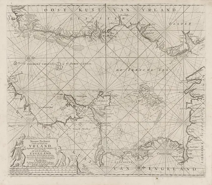
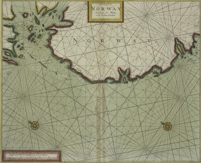
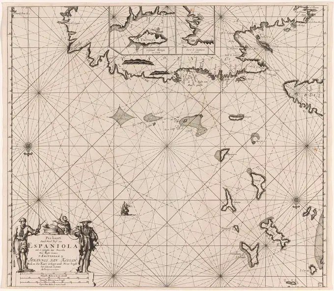
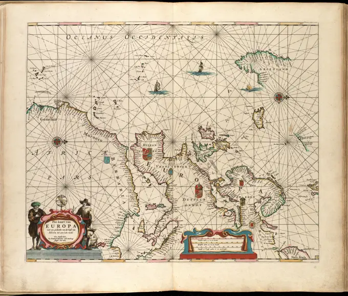
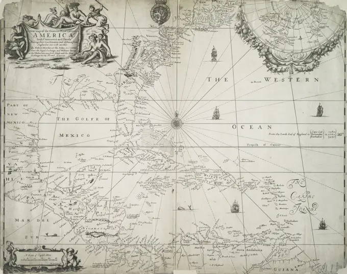
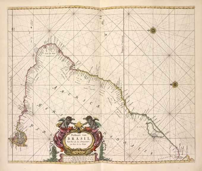
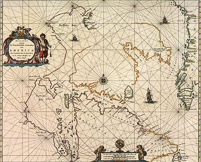
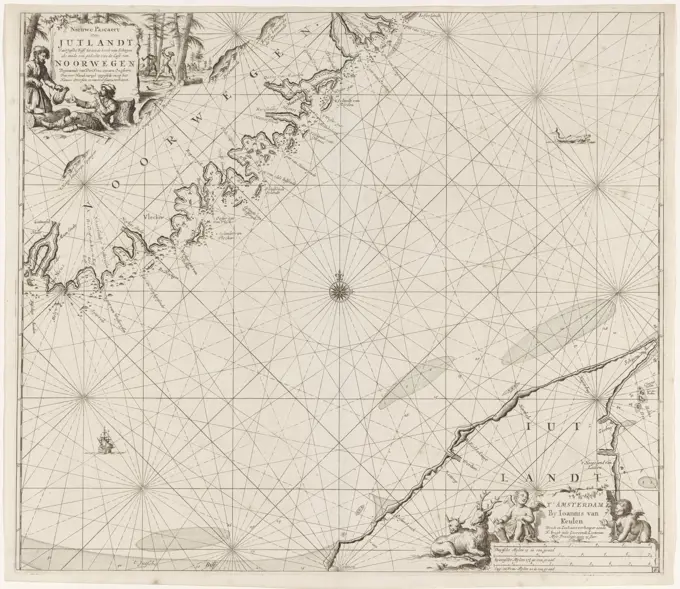
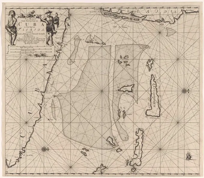
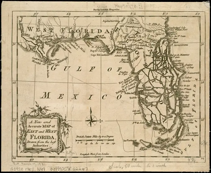
Maritime Charts and Maps
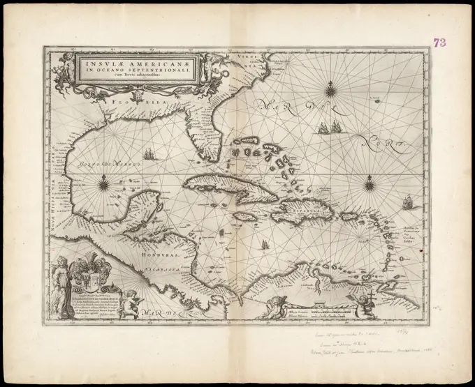
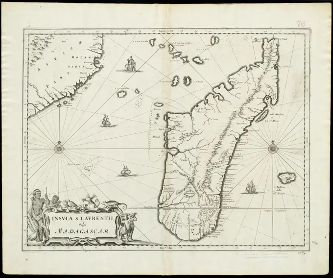
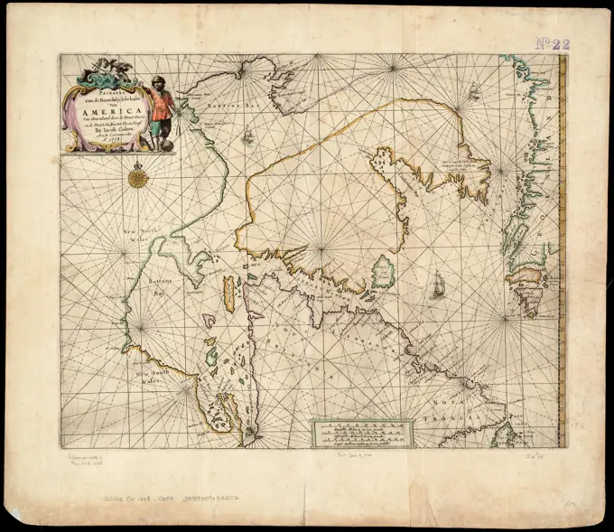
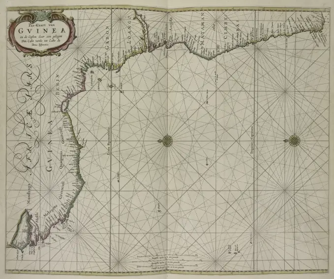
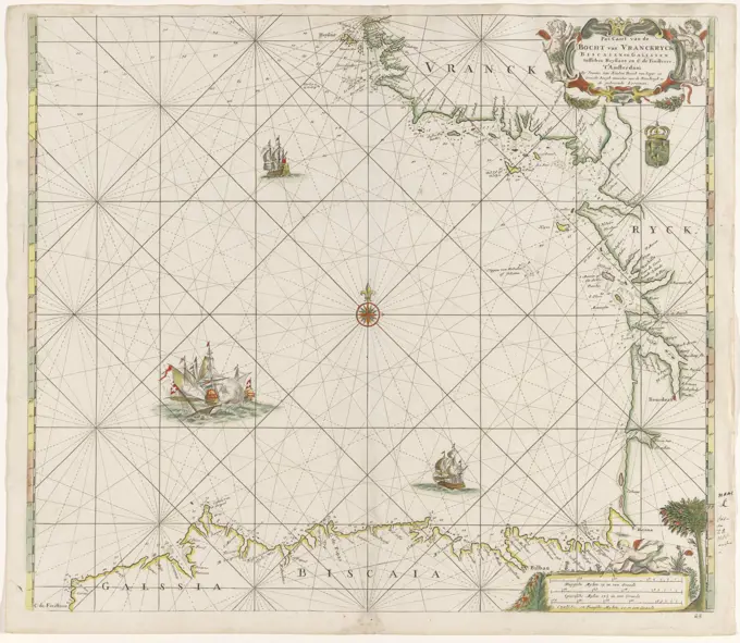
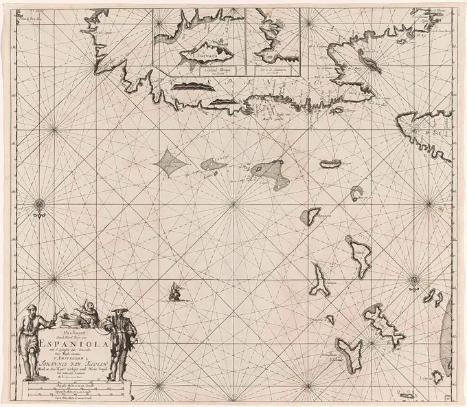
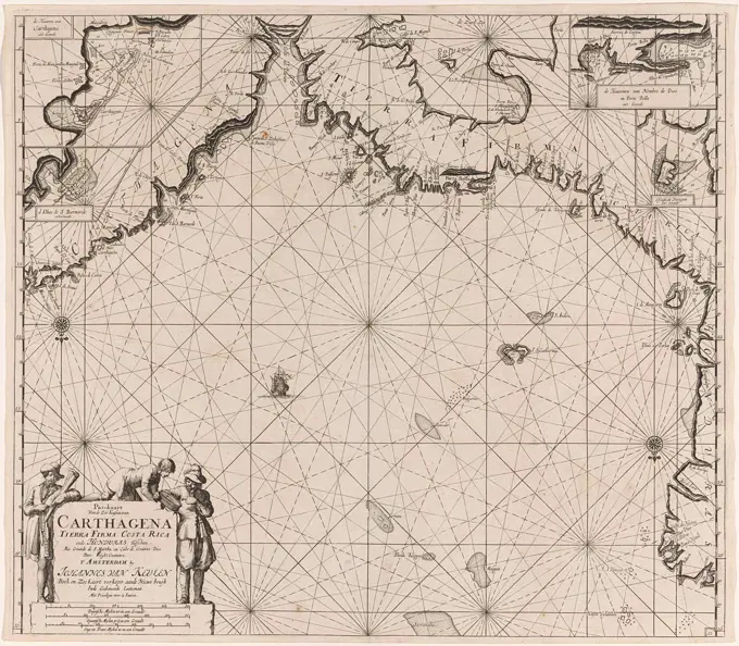
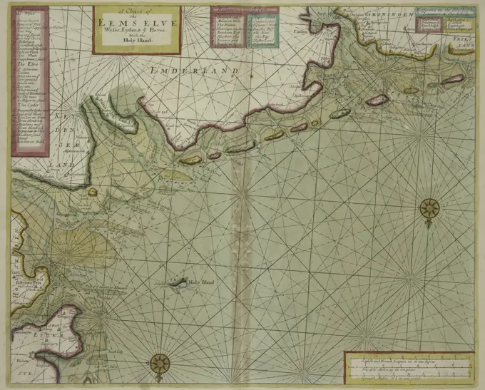
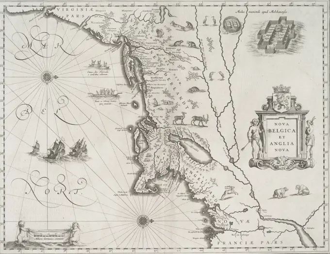
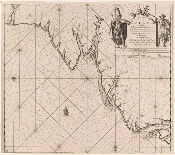
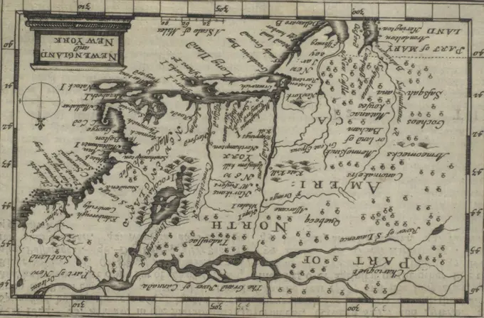
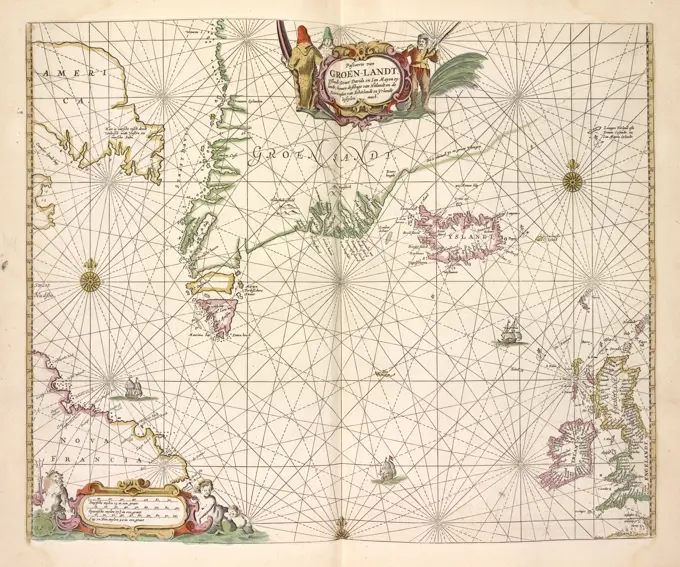
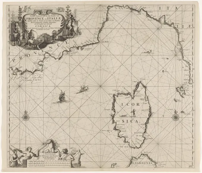
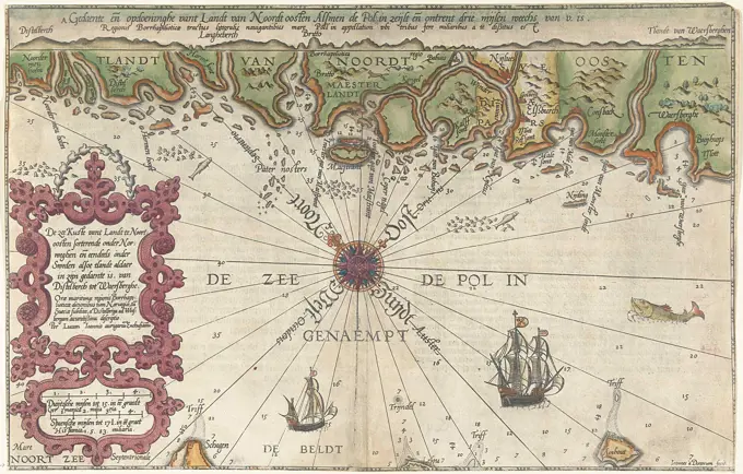
Antique sea charts highlighting coastlines of North America and Europe, with detailed navigational markings and decorative elements.

Antique sea charts highlighting coastlines of North America and Europe, with detailed navigational markings and decorative elements.