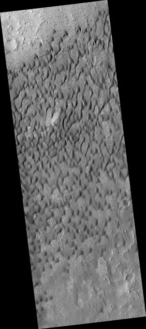
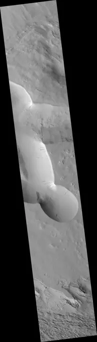
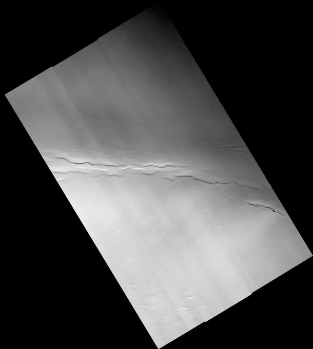
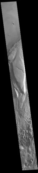
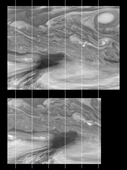
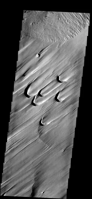
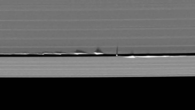
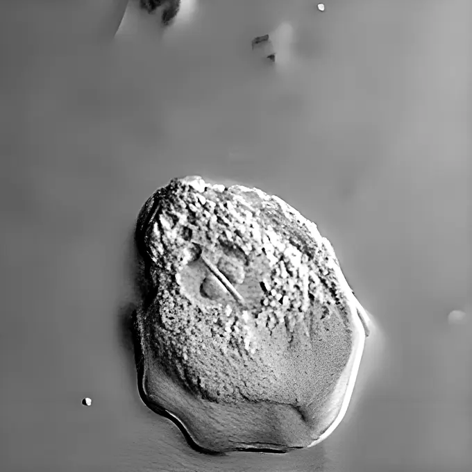
My Boards
View Pictures
  • My Boards

Mars Geological Features

Images showcasing various Mars geological features including cross sections, channels, and tectonic structures, depicted in grayscale with scientific annotations.

Dark Dunes in Herschel Crater
150 assets in this story
6145-44675638
Slope Streak South of Olympus Mons
6145-44666009
Crater in North Polar Residual Cap
6145-45079323
The hills and depressions in this image captured by NASA's 2001 Mars Odyssey spacecraft are part of Cavi Angusti.
6145-44664383
Faults and Pits in the North Polar Residual Ice Cap
6145-45292429
Today's VIS image shows part of Angustus Labyrinthus. Angustus Labyrinthus is a unique region near the south polar cap. The squares formed by intersecting ridges earned the feature the informal name of the Inca City when it was discovered in Mariner 9 images in 1972.The linear ridges are believed to have formed by volcanic and tectonic forces, where magma filled fractures in the subsurface and then erosion revealed the magmatic material. Orbit Number 84350 Latitude -81.7681 Longitude 298.221 Instrument VIS Captured 2020-12-19 16 04
6145-44693586
Starburst Channels
6145-44687745
Spotty Iapetus
6145-44561514
Structurally Complex Surface of Europa and similar scales on Earth
6145-58966927
It is now high summer at the South Pole of Mars; the sand dunes in high latitude craters are all frost free. This image captured by NASA's 2001 Mars Odyssey spacecraft is of an unnamed crater in Sisyphi Planum has dunes and and moving out of the crater.
6145-44562291
This mosaic shows the features of Jupiter's main visible cloud deck and upper-tropospheric haze, with higher features enhanced in brightness over lower features as seen by  NASA's Galileo orbiter on February 19, 1997.
6145-44514269
Sediment History Preserved in Gale Crater Central Mound
6145-45058127
This image from NASA's Mars Odyssey spacecraft shows some of the dunes that are located near the north polar cap. This region of dunes is part of Siton Undae.
6145-45100028
This image captured by NASA's 2001 Mars Odyssey spacecraft shows part of the margin of the north polar cap. Layering of the ice is visible in the top half of the image.
6145-45260189
Siton Undae is a large dune field located in the northern plains near Escorial Crater. Siton Undae is west of the crater and is one of three dune fields near the crater. The nearby north polar cap is dissected by Chasma Boreale, which exposes an ice free surface. This image shows part of dune field just west of Escorial Crater (just off the top of image). The Odyssey spacecraft has spent over 15 years in orbit around Mars, circling the planet more than 69000 times. It holds the record for longest working spacecraft at Mars. THEMIS, the IR/VIS camera system, has collected data for the entire mission and provides images covering all seasons and lighting conditions. Over the years many features of interest have received repeated imaging, building up a suite of images covering the entire feature. From the deepest chasma to the tallest volcano, individual dunes inside craters and dune fields that encircle the north pole, channels carved by water and lava, and a variety of other feature, THE
6145-44617496
Ius Chasma by Day and Night
6145-52930520
Acheron Fossae. This VIS image shows part of Acheron Fossae. Acheron Fossae is the highly fractured, faulted and deformed terrain located 1,050 kilometers (650 miles) north of the large shield volcano Olympus Mons. Lava flows from Olympus Mons at the base of Acheron Fossae show that the fossae predate the flows. The scarps visible in this image are approximately one kilometer (3,300 feet) high. Orbit Number 93718 Latitude 38.2569 Longitude 225.828 Instrument VIS Captured 2023-01-30 01 18 https //photojournal.jpl.nasa.gov/catalog/PIA25873
6145-44693580
New Vocabulary: Araneiform and Lace Terrains
6145-44659436
Taken during southern summer, this image from NASA's 2001 Mars Odyssey spacecraft shows both the ice layers of the southern polar cap and the dusty surface that surrounds the cap.
6145-44483369
Today's VIS image shows a section of Tiu Valles. Located in Margaritifer Terra, Tiu Valles is a complex channel that is part of a large system of outflow channels that arise from Vallis Marineris and flow northward to empty into Chryse Planitia. Tiu Vallis is 1720 km (1069 miles) long. Orbit Number 87675 Latitude 4.06653 Longitude 329.088 Instrument VIS Captured 2021-09-19 11 09
6145-44797657
Streamlined islands indicate the direction of flow in this image of Shalbatana Vallis. taken by NASA's 2001 Mars Odyssey spacecraft.
6145-44793234
Mangala Vallis
6145-45127975
This image captured by NASA's 2001 Mars Odyssey spacecraft shows part of the south polar cap. It is now summer in the region and the surface frosts are gone.
6145-44619948
DCS of Syrtis Major Sand Migration
6145-44659449
North Polar Layered Deposits in Summer
6145-44780094
NASA's Lunar Reconnaissance Orbiter shows a small portion of the rim of Erlanger crater. Much of its floor remains in permanent shadow due to its location near the north pole.
6145-44840496
This image from NASA's Mars Reconnaissance Orbiter is a proposed future Mars landing site in Acidalia Planitia targets densely occurring mounds thought to be mud volcanoes.
6145-58962505
This image from NASA's Mars Odyssey is of the south polar surface. These pits appear to coalesce and reveal the surface below.
6145-44625354
North Polar Cap
6145-44752581
Opportunity's View on Sols 1803 and 1804 (Polar)
6145-44561488
Time Sequence of Jupiter's Equatorial Region (Time Sets 2 & 4)
6145-44643567
The semi-circular depressions in this image are called blowouts and are formed by wind action. These blowouts are part of the Medusae Fossae Formation
4389-2343
Daphnis Disturbing the Rings of Saturn
6145-44730862
Enceladus Oct. 9, 2008 Flyby - Posted Image #3
6145-44562316
Jupiter's atmospheric circulation is dominated by alternating eastward and westward jets from equatorial to polar latitudes. This image was taken on April 3, 1997, by NASA's Galileo spacecraft.
1899-61460569
Sappinia is an amoeba (a single-celled living organism), found in the environment. There are two known species of Sappinia: Sappinia diploidea and Sappinia pedata. This amoeba causes amoebic encephalitis, which is an infection of the brain. Worldwide, only one case of amoebic encephalitis due to Sappinia infection has been reported
6145-44845666
Three images of the same location, taken by NASA's Mars Reconnaissance Orbiter at different times on Mars, show seasonal activity causing sand avalanches and ripple changes on a Martian dune. Time sequence of the images progresses from top to bottom.
6145-45108318
This shaded relief view from NASA's New Horizons of the region surrounding the left side of Pluto's heart-shaped feature, informally named Sputnik Planum, shows that the vast expanse of its icy surface.
6145-44628754
Spirit 360-Degree View, Sol 388 (polar)
6145-44631649
Close-up of 'Keystone' on 'Methuselah' Outcrop
6145-45266533
This VIS image shows part of the south polar cap. The numerous layers that comprise the polar cap are readily visible. The cap was built up over millions of years of deposition of ice and dust. Orbit Number 67309 Latitude -86.3338 Longitude 184.776 Instrument VIS Captured 2017-02-15 03 29
6145-44622217
'Endurance' Untouched (polar)
6145-44678868
The Cassini spacecraft spies an intriguing bright clump in Saturn's F ring. Also of interest is the dark gash that appears to cut through the ring immediately below the clump
6145-44767914
Part of the shadow of Saturn's moon Mimas appears as if it has been woven through the planet's rings in this unusual series of images from Cassini.
6145-44512821
This anaglyph, from NASA's Shuttle Radar Topography Mission, shows Viti Levu, the largest island in the group some 332 islands commonly known as Fiji. 3D glasses are necessary to view this image.
6145-44628805
Tracing Surface Features on Titan--Mosaic
6145-44659440
'Victoria Crater' from 'Duck Bay' (Polar Projection)
6145-44730860
Enceladus Oct. 9, 2008 Flyby - Posted Image #2
6145-58971788
Candor Chasma is one of the largest canyons that make up Valles Marineris. It is approximately 810 km long (503 miles) and is divided into two regions - eastern and western Candor. Candor is located south of Ophir Chasma and north of Melas Chasma. The border with Melas Chasma contains many large landslide deposits. The floor of Candor Chasma includes a variety of landforms, including layered deposits, dunes, landslide deposits and steep sided cliffs and mesas. Many forms of erosion have shaped Candor Chasma. There is evidence of wind and water erosion, as well as significant gravity driven mass wasting (landslides). Orbit Number 94789 Latitude -8.22898 Longitude 295.219 Instrument VIS Captured 2023-04-28 05 27
6145-45081565
This image from NASA's 2001 Mars Odyssey spacecraft is a false color image of part of the northern flank of Ascreaus Mons. The bluish section at the top of the image may indicate an atmospheric haze.
1848-66783233
Map of Nauru made of smoke, Air pollution, ecology
PREVIOUS
of 2
NEXT
2401 S. Ervay, Suite 206
Dallas, Texas 75215
United States
Get Started
Free ResearchMy BoardsMy Cart
For Creators
How To License Your ContentContributor PortalFrame of Mind
Resources
API accessPricing
Contact
+1 866 236 0087help@viewpictures.co.uk Contact form
©2026 View Pictures. All Rights Reserved. -A
This site is protected by reCAPTCHA and Google Privacy Policy and Terms of Service apply.