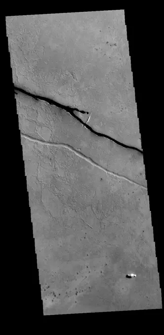
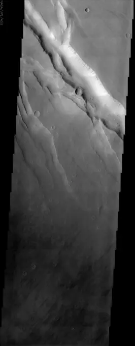
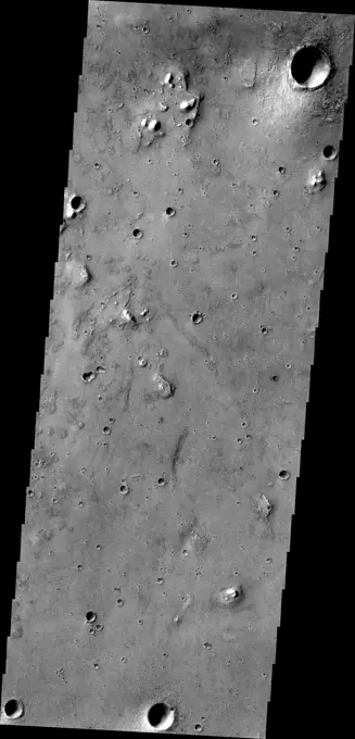
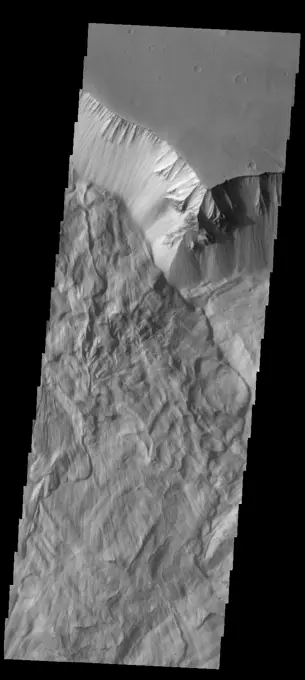
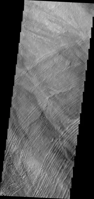
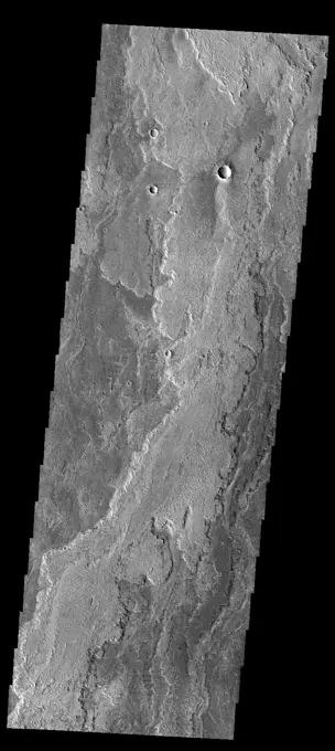
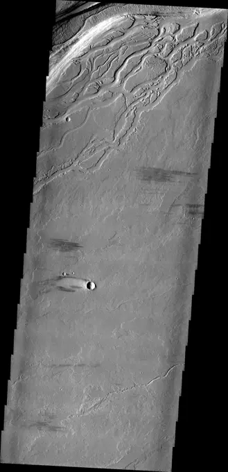
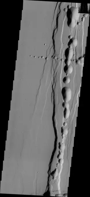
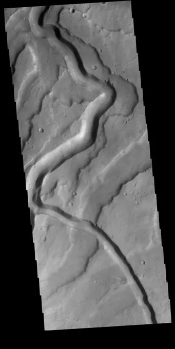
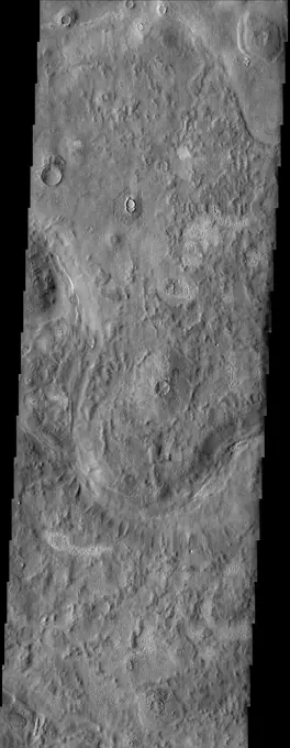
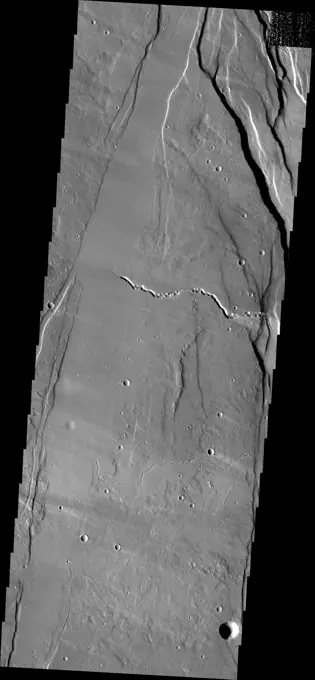
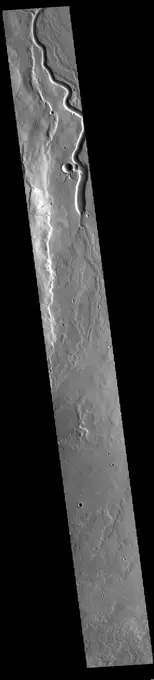
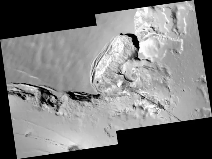
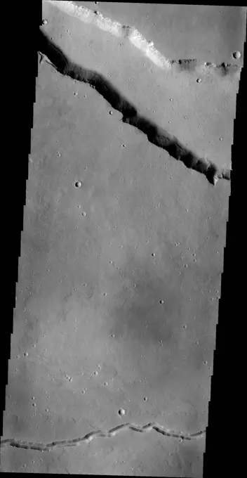
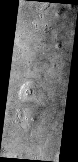
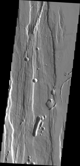
My Boards
View Pictures
  • My Boards

Mars Geological Features

Images of Martian landscapes captured by spacecraft, showcasing geological formations such as valleys, ridges, and lava flows on the surface of Mars.

Candor Chasma
Candor Chasma
283 assets in this story
6145-44541509
The linear depressions in this VIS image are part of the Cerberus Fossae fracture system. The system is made up of parallel graben created by tectonic forces pulling the crust apart. The entire system is 1235km long (767 miles). Orbit Number 79270 Latitude 8.68461 Longitude 163.521 Instrument VIS Captured 2019-10-28 09 53
6145-44842847
This ridge of material on the northern end of Gordii Dorsum is being reduced in size by the erosive effect of the wind in this image captured by NASA's Mars Odyssey.
6145-44576710
This NASA Mars Odyssey image covers a tract of plateau territory called Ophir Planum. The most obvious features in this scene are the fractures (ranging from 1 to 5 km wide) running from the upper left to lower right.
6145-44599048
Wind Effects in Tharsis
6145-44918440
The sand dunes in this image captured by NASA's 2001 Mars Odyssey spacecraft are located on the floor of Lyot Crater.
6145-44593663
The crosscutting relationships observed in this image from NASA's Mars Odyssey spacecraft can be used to determine the relative timing of graben and channel formations.
6145-45099007
This image captured by NASA's 2001 Mars Odyssey spacecraft shows a small portion of Acidalia Planitia, a largely flat plain that is part of Mars' vast northern lowlands.
6145-45069577
This image captured by NASA's 2001 Mars Odyssey spacecraft shows the layering of the north polar cap.
6145-44854276
This image from NASA's Mars Odyssey shows channelized flows on the southwestern flank of the volcano.
6145-44709997
Lyot Crater Dunes
6145-44671769
Glacier-Like Flow on Arsia Mons Flank
6145-44729826
Lava Channel
6145-44978217
This image of Ophir Chasma shows part of a large landslide deposit as seen by NASA's 2001 Mars Odyssey spacecraft.
6145-44665471
These channels and channel-like collapse features are located on the northeastern flank of Ascraeus Mons
6145-44880772
There is a large deposit of material on the floor of Nicholson Crater, as seen in this image from NASA's 2001 Mars Odyssey spacecraft. This pile of material appears to be undergoing erosion by the wind.
6145-44659190
These fractures and graben are part of Sirenum Fossae as seen by NASA's 2001 Mars Odyssey spacecraft.
6145-44964314
This image captured by NASA's 2001 Mars Odyssey spacecraft shows the eastern part of Coprates Chasma.
6145-44877247
This image contrasts gullies and recurring warm-season slope flows appearing in the same crater, in the middle southern latitudes of Mars. It was taken Nov. 27, 2007, by the HiRISE camera onboard NASA's Mars Reconnaissance Orbiter.
6145-45043369
This image captured by NASA's 2001 Mars Odyssey spacecraft shows a series of low, concentric ridges is located to the west of Arsia Mons. The origin of these features is unknown, and there are no similar features at the other Tharsis volcanoes.
6145-44812297
This image captured by NASA's 2001 Mars Odyssey spacecraft shows a section of Bahram Vallis.
6145-44685369
Coprates Chasma
6145-58971938
The large sand sheet with surface dune forms seen in this VIS image is located on the complex floor of Rabe Crater. The sand is likely derived by erosion into the deposit that fills most of the crater floor, creating a pit which hosts the dunes. This crater morphology is unique to Rabe Crater. Rabe Crater is located in Noachis Terra and is 108km in diameter (67 miles). Orbit Number 83505 Latitude -43.6272 Longitude 34.5903 Instrument VIS Captured 2020-10-11 02 34
6145-44662584
Fretted Terrain Valley in Coloe Fossae Region
6145-44664397
Lobate Debris Apron in Tempe Terra/Mareotis Fossae
6145-45292204
Today's VIS image shows a small section of Nirgal Valles. Located in Noachis Terra, Nirgal Valles is 610km long (379 miles). Orbit Number 84500 Latitude -27.3291 Longitude 314.675 Instrument VIS Captured 2021-01-01 00 11
6145-45054382
The large graben in this image from NASA's 2001 Mars Odyssey spacecraft is part of a series of graben located on the southern flank of Alba Mons. This collection of graben is called Ceraunius Fossae. The term fossae means long, linear depressions.
6145-58971947
The linear depressions in this VIS image are part of Sirenum Fossae. These depressions are called graben, which form by the down drop of material between two parallel faults. The faults are caused by extensional tectonic stresses in the region. The Sirenum Fossae graben are 2735km (1700 miles) long. Orbit Number 82775 Latitude -29.7098 Longitude 211.959 Instrument VIS Captured 2020-08-12 00 05
6145-44585227
With a location roughly equidistant between two of the largest volcanic constructs on the planet, the fate of the approximately 50 km (31 mile) impact crater in this image from NASA's Mars Odyssey was sealed. It has been buried to the rim by lava flows.
6145-44868657
The windstreaks in this image of Syrtis Major Planum indicate winds blowing from the northeast. This image is from NASA's 2001 Mars Odyssey spacecraft.
6145-44849130
Lava channels and tectonic fractures are both found in the Tharsis region as shown in this image from NASA's Mars Odyssey.
6145-44935543
This image captured by NASA's 2001 Mars Odyssey spacecraft shows more of the extensive lava flows in Daedalia Planum.
6145-44805805
The complex region of channels at the top of this image, captured by NASA's 2001 Mars Odyssey spacecraft, are lava channels. These channels are called Olympica Fossae.
6145-44894390
Tractus Catena is a series of collapse pits and fractures south of Alba Mons as seen in this image from NASA's 2001 Mars Odyssey spacecraft. The collapse pits, which run in two directions in this image, are typically indicative of volcanic lava tubes.
6145-44629312
Valles Marineris Graben
6145-45264075
Tyrrhenus Mons is one of the oldest Martian volcanoes. Tyrrhena Fossae is the largest of the channels dissecting the volcano. As well as being one of the oldest volcanoes, it is made of layers that include volcanic ash rather than just basaltic flows. This difference is evident in how the volcano is being eroded, creating broad intersecting sinuous channels. On Earth basaltic flows form broad shield volcanoes like Hawaii. Shield volcanoes can erupt from the central crater, as well as along the flanks. Volcanoes with ash layers, called composite volcanoes, form steeper sides like Mt Rainier and Mt Fuji. The major amount of material erupts only from the central caldera. Orbit Number 73059 Latitude -20.5291 Longitude 107.331 Instrument VIS Captured 2018-06-03 21 19
6145-45260944
This VIS image shows part of the northwestern margin of the summit caldera. Along with the faults caused by the collapse of the summit materials into the void of the emptied magma chamber, there are many small lobate lava flows and collapse features. The scalloped depressions are most likely created by collapse of the roof of lava tubes. Lava tubes originate during eruption event, when the margins of a flow harden around a still flowing lava stream. When an eruption ends these can become hollow tubes within the flow. With time, the roof of the tube may collapse into the empty space below. The tubes are linear, so the collapse of the roof creates a linear depression. This image illustrates the many processes that occurred in the formation of the volcano. Arsia Mons is the southernmost of the Tharsis volcanoes. It is 270 miles (450km) in diameter, almost 12 miles (20km) high, and the summit caldera is 72 miles (120km) wide. For comparison, the largest volcano on Earth is Mauna Loa. From
6145-44590499
An unusual mix of textures is featured in this image from NASA's Mars Odyssey spacecraft of a surface east of the Phlegra Montes. Scabby mounds, commonly occurring around degraded craters, mix with a more muted, knobby terrain.
6145-45264094
This VIS image shows part of the south polar cap. This image was collected near the end of the southern spring season. Orbit Number 74454 Latitude -86.2332 Longitude 299.532 Instrument VIS Captured 2018-09-26 18 47
6145-44671460
Swirls of Rock in Candor Chasma
6145-44776398
The dunes and dust devil tracks in this image are located on the plains of Planum Chronium.
6145-44841549
Ceraunius Fossae is the region of fractures and volcanic flows south of Alba Mons shown in this image captured by NASA's Mars Odyssey.
6145-45258882
This image shows part of the complex caldera at the summit of the volcano. Calderas are found at the tops of volcanoes and are the source region for magma that rises from an underground lava source to erupt at the surface. Volcanoes are formed by repeated flows from the central caldera. The final eruptions can pool within the summit caldera, leaving a flat surface as they cool. Calderas are also a location of collapse, creating rings of tectonic faults that form the caldera rim. Ascraeus Mons has several caldera features at its summit. The Odyssey spacecraft has spent over 15 years in orbit around Mars, circling the planet more than 69000 times. It holds the record for longest working spacecraft at Mars. THEMIS, the IR/VIS camera system, has collected data for the entire mission and provides images covering all seasons and lighting conditions. Over the years many features of interest have received repeated imaging, building up a suite of images covering the entire feature. From the dee
6145-44533333
The sinuous channel in this VIS image is Tinto Vallis. This northward flowing channel is 180 km (112 miles) long and is located in northern Hesperia Planum. Tinto Vallis arises in the plains of Herperia Planum and empties into Palos Crater. Orbit Number 79197 Latitude -4.11256 Longitude 111.326 Instrument VIS Captured 2019-10-22 09 32
6145-44783167
This 2001 Mars Odyssey image shows a portion of the dune field located on the floor of Kaiser Crater.
6145-44917052
The fractures in this image are part of the large fracture system that surrounds Alba Mons as seen by NASA's 2001 Mars Odyssey spacecraft.
6145-52930404
Tithonium and Ius Chasmata. Ius and Tithonium Chasmata are located at the western end of Valles Marineris. Tithonium Chasma is north of Ius Chasma. Valles Marineris is over 4000 kilometers long (2495 miles), almost as wide as the United States. Ius Chasma is almost 840 kilometers long (522 miles), 120 kilometers wide and over 8 kilometers deep. Tithonium Chasma is 803 km (499 miles) long. In comparison, the Grand Canyon in Arizona is about 175 kilometers long (109 miles), 30 kilometers wide, and only 2 kilometers deep. The canyons of Valles Marineris were formed by extensive fracturing and pulling apart of the crust during the uplift of the vast Tharsis plateau. Landslides have enlarged the canyon walls and created deposits on the canyon floor. Weathering of the surface and influx of dust and sand have modified the canyon floor, both creating and modifying layered materials. There are many features that indicate flowing and standing water played a part in the chasma formation. The rugg
6145-44750417
Daedalia Planum
6145-52960803
. Buvinda Vallis. Today's VIS image shows a portion of Buvinda Vallis, a channel located near the flank of Hecates Tholus. Buvinda Vallis is 134km (83miles) long. Orbit Number 94070 Latitude 31.603 Longitude 152.174 Instrument VIS Captured 2023-02-28 00 51
6145-44675948
Dust Devil Tracks
6145-44866048
This image from NASA's 2001 Mars Odyssey shows windstreaks mark the plains of northern Terra Sabaea.
6145-58971757
The linear features in the bottom half of this VIS image are called Oti Fossae. Oti Fossae is located on the eastern flank of Arsia Mons and aligns with the regional northeast/southwest trend of the major Tharsis volcanoes. Fossae are typically tectonic features termed graben. Graben are formed by extension of the crust and faulting. When large amounts of pressure or tension are applied to rocks on timescales that are fast enough that the rock cannot respond by deforming, the rock breaks along faults. In the case of a graben, two parallel faults are formed by extension of the crust and the rock in between the faults drops downward into the space created by the extension. The crustal deformation in this region was from the inflation of the surface by the rise of magma that created the Tharsis volcanoes. Arsia Mons is the southernmost and youngest of the three large, aligned Tharsis volcanoes Arsia Mons, Pavonis Mons and Ascreaus Mons, from south to north. This alignment may indicate a l
6145-44936635
This image captured by NASA's 2001 Mars Odyssey spacecraft shows the part of the floor of Melas Chasma. Melas Chasma in the central chasma of Valles Marineris.
6145-44873624
Just as on Earth, volcanism and tectonism are found together on Mars. In this image from NASA's 2001 Mars Odyssey spacecraft the ridges and fractures of Claritas Fossae are affecting or perhaps hosting the volcanic flows of Solis Planum.
6145-58965203
The volcanic flows in Daedalia Planum originated from Arsia Mons. This image from NASA's Mars Odyssey shows a tiny portion of Daedalia Planum.
6145-44654253
This large dune field is located in a trough of the north polar ice cap
6145-44670227
Aram Chaos Sediments
6145-44670739
South Polar Layered Deposits and Residual Cap
6145-58971719
Today's VIS image shows part of Zephyria Planum. Zephyria Planum is located south of Elysium Planitia. Long term winds have eroded the surface of Zephyria Planum (bottom half of image). Elysium Planitia covers the top half of the image. The surface contains what looks like plates of material separated by lighter toned regions. This morphology is common in southern Elysium Planitia and it has been suggested that the 'plates' were cooled lava carried along the top of a still molten volcanic flow. Orbit Number 94719 Latitude 3.29115 Longitude 153.155 Instrument VIS Captured 2023-04-22 11 11
6145-45266678
This VIS image is located in the central portion of Hephaestus Fossae. Hephaestus Fossae is a complex channel system in Utopia Planitia near Elysium Mons. It has been proposed that the channel formed by the release of melted subsurface ice during the impact event that created a large crater south of this image. Additionally, the nearby Elysium volcanic center created subsurface heating that may have played a part in creating both Hephaestus Fossae and Hebrus Valles to the north. Orbit Number 77487 Latitude 18.8111 Longitude 124.593 Instrument VIS Captured 2019-06-03 14 10
6145-44624838
Full-Circle View from Near 'Tetl'
6145-44664398
False Color Image of North Polar Layered Deposits in Head Scarp of Chasma Boreale
6145-44729561
Unusual Mound in North Polar Layered Deposits
6145-45002929
The windstreaks in this image from NASA's 2001 Mars Odyssey spacecraft are located on the lava plains between Pavonis Mons and Noctis Fossae.
6145-44576895
Collapsing Cliff at Telegonus Mensa, Io
6145-45262501
This VIS image is located at the eastern end of Hephaestus Fossae. Hephaestus Fossae is a channel system in Utopia Planitia near Elysium Mons. It has been proposed that the channel formed by the release of melted subsurface ice during the impact event that created a large crater west of this image. The method of formation for this complex feature at end of the channel is still unknown. Orbit Number 72659 Latitude 17.3167 Longitude 126.988 Instrument VIS Captured 2018-05-01 22 42
6145-44726867
Yardangs
6145-44647420
The surface of Mars is completely hidden from view by clouds
6145-44799266
This NASA 2001 Mars Odyssey spacecraft image shows two different types of linear depressions. The wide depression at the top of the frame is Elysium Fossae, which most likely formed due to tectonic activity.
6145-44859371
The dunes in this image from NASA's Mars Odyssey are located on the floor of Arkhangelsky Crater.
6145-44617659
Microscopic Image Inside 'Endurance'
6145-44671853
Layered Mesa in Coprates Chasma
6145-44578900
This image from NASA's Mars Odyssey shows a region of Mars' northern hemisphere called Ismenia Fossae. Most of the landforms are the degraded remains of impact crater rim and ejecta from an unnamed crater (75 km diameter) just north of this scene.
6145-44731151
Dust Devil Tracks
6145-44652926
There appear to be layers in the rim of this northern crater
6145-44934665
This image from NASA's 2001 Mars Odyssey spacecraft shows the southern margin of Pavonis Mons.
6145-45110626
This image captured by NASA's 2001 Mars Odyssey spacecraft shows a small portion of Shalbatana Vallis, near the end of the channel where it drains into Chryse Planitia.
6145-45266932
Located west of the Elysium Volcanic complex, Hebrus Valles is a complex channel system that flowed to the north. In this VIS image the there are fluid created channels and tectonic formed depressions. In other portions of the valles, there are pits and collapse features which appear to have formed by material falling into subsurface voids. This is a common feature in regions of volcanic activity where lava tubes run below the surface. Both water and lava contributed to the formation of Hebrus Valles. Orbit Number 78248 Latitude 17.8704 Longitude 128.118 Instrument VIS Captured 2019-08-05 06 11
6145-52961247
. Sirenum Fossae. Today's VIS image shows a portion of Sirenum Fossae. The linear features are tectonic graben. Graben are formed by extension of the crust and faulting. When large amounts of pressure or tension are applied to rocks on timescales that are fast enough that the rock cannot respond by deforming, the rock breaks along faults. In the case of a graben, two parallel faults are formed by extension of the crust and the rock in between the faults drops downward into the space created by the extension. Numerous sets of graben are visible in this THEMIS image, trending from north-northeast to south-southwest. Because the faults defining the graben are formed perpendicular to the direction of the applied stress, we know that extensional forces were pulling the crust apart in the west-northwest/east-southeast direction. The Sirenum Fossae graben are 2735km (1700 miles) long and stretch from eastern Terra Sirenum into western Daedalia Planum. Orbit Number 91816 Latitude -29.2208 Long
6145-45298520
Galaxias Chaos is located on the northern border of the Elyisum volcanic complex. Chaos terrain develops by erosion, often along faults, that create regions of mesas and valleys. Orbit Number 80119 Latitude 33.6966 Longitude 146.662 Instrument VIS Captured 2020-01-06 07 47
6145-45068061
This image captured by NASA's 2001 Mars Odyssey spacecraft crosses the summit of Ceraunius Tholus.
6145-45266653
Today's VIS image shows part of the ejecta blanket of Tooting Crater. Tooting Crater is located west of Olympus Mons. Orbit Number 77272 Latitude 23.1953 Longitude 207.317 Instrument VIS Captured 2019-05-16 21 16
6145-44759136
Ceraunius Fossae
6145-44688322
Crater Island
PREVIOUS
of 3
NEXT
2401 S. Ervay, Suite 206
Dallas, Texas 75215
United States
Get Started
Free ResearchMy BoardsMy Cart
For Creators
How To License Your ContentContributor PortalFrame of Mind
Resources
API accessPricing
Contact
+1 866 236 0087help@viewpictures.co.uk Contact form
©2026 View Pictures. All Rights Reserved. -A
This site is protected by reCAPTCHA and Google Privacy Policy and Terms of Service apply.