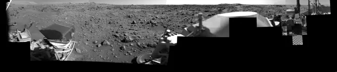
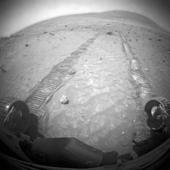
My Boards
View Pictures
  • My Boards

Mars Rover and Terrain Images

Black and white panoramic views from Mars rovers, highlighting the rocky terrain and geological features of the Martian surface.

Afternoon on Chryse Planitia - Viking Lander 1 Camera 2 Mosaic
141 assets in this story
6145-45002931
This mosaic of images from NASA's Mars rover Curiosity shows the terrain to the west from the rover's position on Jan. 30, 2014.
6145-44606775
Ready to Roll
6145-44631364
The Zen-Like Quality of Mars
6145-45262006
Researchers used the Mast Camera (Mastcam) on NASA's Curiosity Mars rover to gain this detailed view of layers in Vera Rubin Ridge from just below the ridge. The scene combines 70 images taken with the Mastcam's right-eye, telephoto-lens camera, on Aug. 13, 2017, during the 1,785th Martian day, or sol, of Curiosity's work on Mars. This and other Mastcam panoramas show details of the sedimentary rocks that make up the Vera Rubin Ridge. This distinct topographic feature located on the lower slopes of Mount Sharp (Aeolis Mons) is characterized by the presence of hematite, an iron-oxide mineral, which has been detected from orbit. The Mastcam images show that the rocks making up the lower part of the ridge are characterized by distinct horizontal stratification with individual rock layers of the order of several inches (tens of centimeters) thick. Scientists on the mission are using such images to determine the ancient environment these rocks were deposited in. The repeated beds indicate p
6145-44908194
The drive by NASA's Mars rover Curiosity during the mission's 43rd Martian day ended with this rock front of the rover. The rover team has assessed it as a suitable target for the first use of Curiosity's contact instruments on a rock.
6145-44991718
NASA's Mars rover Curiosity captured this 3-D view of the rock-studded terrain Curiosity has traversed since October 2013, accelerating the pace of wear and tear on the rover's wheels.
6145-45259439
This view of Vera Rubin Ridge from the Chemistry and Camera (ChemCam) instrument on NASA's Curiosity Mars rover shows sedimentary layers, mineral veins and effects of wind erosion. This area of lower Mount Sharp became a ridge by being more resistant to erosion than neighboring portions of the layered mountain. Here, the wind has eroded portions of the outcrop in unusual ways, so that elongated rock fragments can be seen protruding into the sky. ChemCam's telescopic Remote Micro-Imager took the 10 component images of this mosaic on Aug. 24, 2017, during the 1,795th Martian day, or sol, of Curiosity's work on Mars. The camera was about 141 feet (43 meters) away from the pictured portion of the ridge. The rover's location at the time, in relation to the ridge, is shown in a Sol 1794 traverse map. The scale bar at lower right indicates how wide a feature 3.3 inches (8.5 centimeters) in width would look in the middle portion of the scene.
6145-44777949
This view of a rock called 'Block Island,' the largest meteorite yet found on Mars, comes from the panoramic camera (Pancam) on NASA's Mars Exploration Rover Opportunity.
6145-44878965
NASA's Mars Exploration Rover Opportunity used its microscopic imager to record this close-up view of texture on part of a rock informally named Tisdale
6145-44916260
A rind that appears bluish in this false-color view covers portions of the surface of a rock called 'Whitewater Lake' in the top half of the view from NASA's Mars Exploration Rover Opportunity.
6145-58967255
This rock, informally named Tisdale
6145-44877882
This 3D scene shows the view from where NASA's Mars Exploration Rover Opportunity first arrived on the rim of Endeavour crater, an impact crater about 14 miles (22 kilometers) in diameter. You will need 3D glasses to view this image.
6145-45116821
This enhanced scene from the panoramic camera (Pancam) on NASA's Mars Exploration Rover Opportunity shows 'Spirit Mound' overlooking the floor of Endeavour Crater.
6145-51947981
V 5968. Thule (depicted - name)
6145-44567764
The Mast Camera, or Mastcam, on NASA's Curiosity Mars rover used its telephoto lens to capture Mount Sharp in the morning illumination on Oct. 13, 2019, the 2,555th Martian day, or sol, of the mission. The panorama is composed of 44 individual images stitched together. The panorama has been white-balanced and additionally brightened so that the colors of the rock materials resemble how they would appear under daytime lighting conditions on Earth.
6145-44559664
Sojourner Rover Tracks in Compressible Soil
6145-44656387
Shadows Draw Attention to Features of Mars Landscape (Rover Tracks)
6145-45084132
This mosaic of images from the navigation camera on the ESA's Rosetta spacecraft shows the nucleus of comet 67P/Churyumov-Gerasimenko as it appeared at in the early morning, Universal Coordinated Time, of Dec. 17, 2014 (evening of Dec. 16, PST).
6145-44619154
Way to Go Spirit!
6145-44620967
Deep Hole in 'Clovis' (False Color)
6145-44608097
First Grinding of a Rock on Mars
6145-44495163
Sojourner Rover Behind Chimp - Left Eye
4389-1910
Tracks of Rover Spirit
6145-44611265
The Right Scuff
6145-44707313
Phoenix Test Sample Site
6145-44745931
One Last Look at the Martian Arctic
6145-44606744
Turning on Mars
6145-45069336
This image from ESA's Rosetta spacecraft is of 67P/Churyumov-Gerasimenko shows the diversity of surface structures on the comet's nucleus.
6145-44685645
Opportunity's First Dip into Victoria Crater
6145-44607792
Opportunity on Its Own
6145-45252055
Close-up examination of a freshly exposed area of a rock called Uchben in the Columbia Hills of Mars reveals an assortment of particle shapes and sizes in the rock's makeup. NASA's Mars Exploration Rover Spirit used its microscopic imager during the rover's 286th martian day (Oct. 22, 2004) to take the frames assembled into this view. The view covers a circular hole ground into a target spot called Koolik on Uchben by the rover's rock abrasion tool. The circle is 4.5 centimeters (1.8 inches) in diameter. Particles in the rock vary in shape from angular to round, and range in size from about 0.5 millimeter (0.2 inch) to too small to be seen. This assortment suggests that the rock originated from particles that had not been transported much by wind or water, because such a transport process would likely have resulted in more sorting of the particles by size and shape. http //photojournal.jpl.nasa.gov/catalog/PIA07023
6145-44752587
Opportunity's View After Drive on Sol 1806
6145-45084131
This mosaic of images from the navigation camera on the European Space Agency's Rosetta spacecraft shows the nucleus of comet 67P/Churyumov-Gerasimenko as it appeared at 5 a.m. UTC on Dec. 17, 2014 (9 p.m. PST on Dec. 16).
6145-44554149
Radiation Calibration Targets
6145-44620445
NASA's Mars Exploration Rover Spirit has been making tracks on Mars for seven months now, well beyond its original 90-day mission, when it reached 'Columbia Hills.' 3D glasses are necessary to view this image.
6145-44901914
This full-resolution image from NASA's Curiosity shows the elbow joint of the rover's extended robotic arm on Aug. 20, 2012. The Navigation Camera captured this view.
6145-44554458
This image from NASA's Mars Pathfinder shows the large rock nicknamed 'Yogi.' Portions of a petal and deflated airbag are in the foreground. 3D glasses are necessary to identify surface detail.
6145-44617101
Down into 'Endurance'
6145-44619635
Opportunity Leaves a Trail of 'Rat' Holes
6145-44713180
This anaglyph, acquired by NASA's Phoenix Lander on Jun. 26, 2008, shows a stereoscopic 3D view of the Martian surface near the lander. 3D glasses are necessary to view this image.
6145-44607278
Meridiani Planum Soil-2
PREVIOUS
of 2
NEXT
2401 S. Ervay, Suite 206
Dallas, Texas 75215
United States
Get Started
Free ResearchMy BoardsMy Cart
For Creators
How To License Your ContentContributor PortalFrame of Mind
Resources
API accessPricing
Contact
+1 866 236 0087help@viewpictures.co.uk Contact form
©2026 View Pictures. All Rights Reserved. -B
This site is protected by reCAPTCHA and Google Privacy Policy and Terms of Service apply.