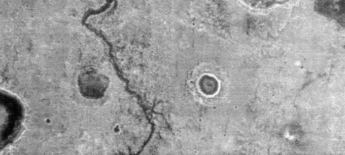
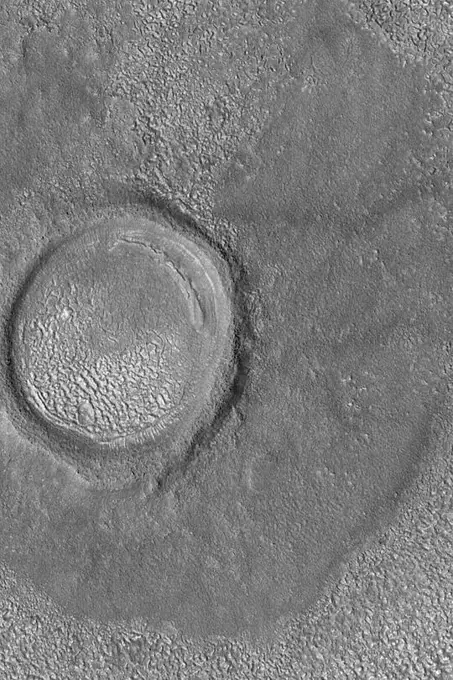
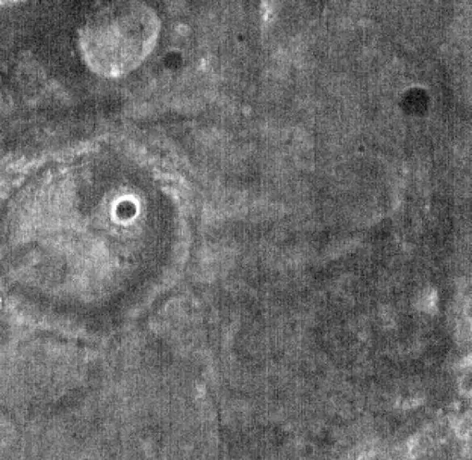
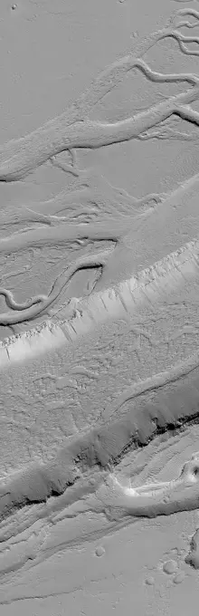
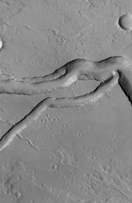
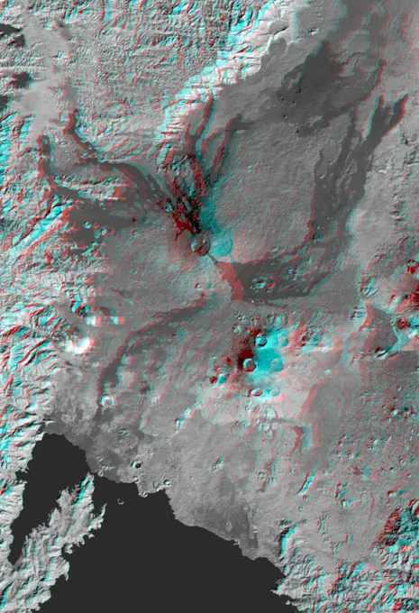
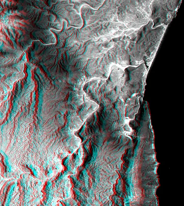
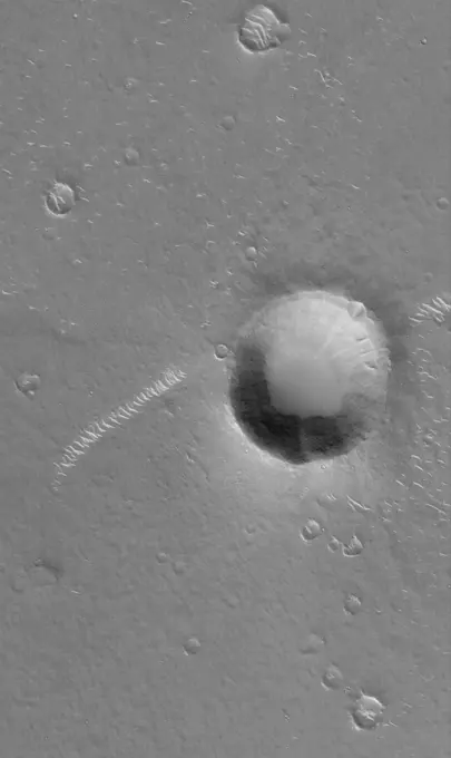
My Boards
View Pictures
  • My Boards

Martian Geological Features

High-resolution images of Mars showing various geological formations, including craters, ridges, and the notable Valles Marineris canyon system.

Sirenum Troughs
Sirenum Troughs
232 assets in this story
6145-45080057
This image was taken by the Philae lander of the European Space Agency's Rosetta mission when it was about 130 feet (40 meters) above the surface of comet 67P/Churyumov-Gerasimenko during descent to the surface on Nov. 12, 2014.
6145-44647150
This image shows two shallow, circular holes - one above and one below - that meet in the middle to form an indentation shaped like a figure eight in the Martian soil. The holes are within a larger circular area created by the rock abrasion tool
4389-250
Apollo 12 - A Strange String of Moon Craters
6145-44547181
Two unusual volcanic domes are shown in this full-resolution mosaic obtained by NASA's Magellan spacecraft.
6145-44576970
Galileo's Best View of Loki Volcano on Io
6145-58981659
Visit to Ward Island : Honeycomb gelatin silver negatives, black-and-white negatives
6145-44534125
This nighttime thermal infrared image, taken by NASA's Mars Odyssey spacecraft, shows differences in temperature that are due to differences in the abundance of rocks, sand and dust on the surface.
6145-44599042
North Mid-latitude Crater
6145-44628546
THEMIS Images as Art #46
6145-44629311
Ejecta Boulders
6145-44858873
This global digital map of Rhea was created using data taken during NASA's Cassini and Voyager spacecraft flybys. This map contains data from Cassini's Jan. 11, 2011, flyby of Rhea. Six Voyager images fill gaps in Cassini's coverage of the north pole.
6145-44639649
This global digital map of Saturn's moon Tethys was created using data taken during Cassini and Voyager spacecraft flybys. The map is an equidistant projection and has a scale of 293 meters (961 feet) per pixel
6145-44648750
This MOC image shows a wide, flat-floored trough flanked by several smaller, branching troughs in the Olympica Fossae region of Mars. Dark- and intermediate-toned slope streaks -- created by dry avalanches of dust -- occur on the trough walls
6145-44529926
Pine Island Glacier has undergone a steady loss of elevation with retreat of the grounding line in recent decades. NASA's Terra satellite acquired the scene on December 12, 2000.
6145-44957881
In Focus: Cahokia Vallis
6145-45047938
Berkel - Nearly Three Years Later
6145-44509035
Major Martian Volcanoes from MOLA - Arsia Mons
6145-44746191
Different wavelengths of light provide new information about the Orientale Basin region of the moon in a composite image taken by NASA's Moon Mineralogy Mapper, a guest instrument aboard the Indian Space Research Organization's Chandrayaan-1 spacecraft.
6145-44614670
Spirit's Travels
6145-58967725
These images from NASA's Dawn spacecraft show the ~20km diameter Numisia crater on asteroid Aster, after which Numisia quadrangle is named.
6145-44628815
Collapse Features
6145-45066993
This view from the OSIRIS instrument onboard ESA's Rosetta spacecraft shows the nucleus of comet 67P/Churyumov-Gerasimernko from a distance of 1,210 miles (1950 kilometers).
6145-44971559
NASA's Mars rover Curiosity left the 'Glenelg' area on July 4, 2013, on a 'rapid transit route' to the entry point for the mission's next major destination, the lower layers of Mount Sharp.
6145-58971960
Kamchatka, Russia hosts some of the most active volcanoes on earth. Among those is Kliuchevskoi stratovolcano, erupting almost constantly, and the tallest volcano in Kamchatka. In this snow-covered winter image (left), an eruption plume rising to 7.5 km, is streaming from the summit in a northeast direction. The thermal infrared image (right) reveals additional information the bright material on the east side of the summit is a hot, recent lava flow; the eruption plume is displayed in blue, revealing its composition as dominated by ice mixed with ash. The thermal data are noisy because of the very low signal from the cold scene. The data were acquired December 2, 2020, cover an area of 27 by 30 km, and are located at 56.1 degrees north, 160.7 degrees east.
1746-19671732
This picture of Io, Jupiter's innermost Galilean satellite, was taken by Voyager 1 on the morning of March 5, 1979, during the closest approach to this satellite.
4384-316
Scanning Electron Photomicrograph of Polio Virions
6145-44565854
Pathfinder Landing Site Observed by Mars Orbiter Camera
6145-44835530
This image from NASA's Mars Reconnaissance Orbiter shows an approximately 7-meter diameter fresh crater and dark ejecta blanket. These small impact craters continue to form on Mars, and are most easily recognized in areas covered by bright dust.
6145-44532826
This anaglyph, from NASA's Shuttle Radar Topography Mission, is of the Nyiragongo volcano in the Congo. 3D glasses are necessary to view this image.
6145-44502981
This anaglyph, from NASA's Shuttle Radar Topography Mission, is of the coastal area in southernmost Oman; the Arabian Sea is on the right. 3D glasses are necessary to view this image.
6145-44640691
Impact Crater
6145-45114416
This map of Titan from NASA's Cassini imaging coverage, shows the names of many (but not all) features on the Saturnian moon that have been approved by the International Astronomical Union.
PREVIOUS
of 3
NEXT
2401 S. Ervay, Suite 206
Dallas, Texas 75215
United States
Get Started
Free ResearchMy BoardsMy Cart
For Creators
How To License Your ContentContributor PortalFrame of Mind
Resources
API accessPricing
Contact
+1 866 236 0087help@viewpictures.co.uk Contact form
©2026 View Pictures. All Rights Reserved. -B
This site is protected by reCAPTCHA and Google Privacy Policy and Terms of Service apply.