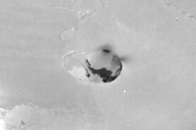
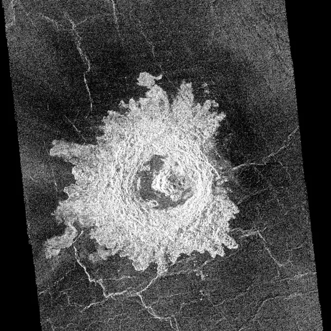
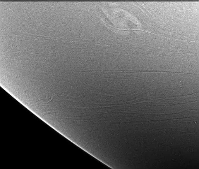
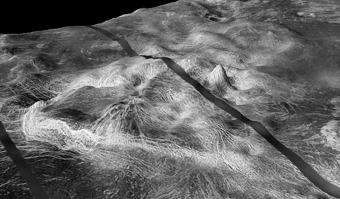
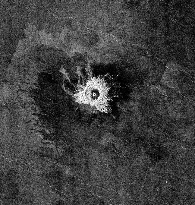
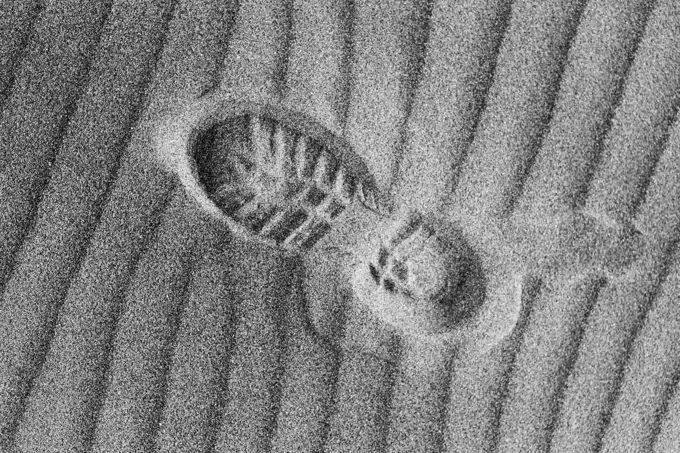
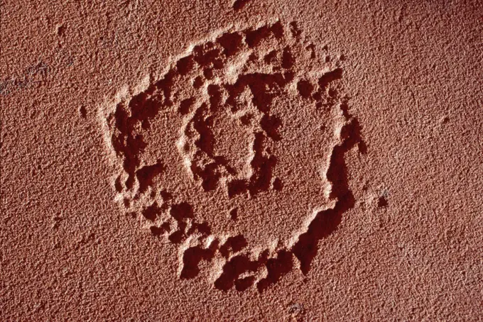
My Boards
View Pictures
  • My Boards

Martian Terrain and Dunes

A collection of black and white images depicting varied Martian landscapes, including dunes, terrain complexity, and frost sublimation, showcased through radar imaging.

Target of Opportunity to the South
284 assets in this story
6145-44505871
Io Caldera
6145-44632979
West Arabia Barchans
6145-44506152
Polar Stratigraphy
6145-44620473
Elysium Planitia
6145-44494623
This NASA Voyager 2 image of the Uranian rings delta, gamma, eta, beta and alpha (from top) was taken Jan. 23, 1986.
6145-44496691
This mosaic from NASA's Galileo Probe is of an equatorial 'hotspot' on Jupiter and shows the features of a hazy cloud layer tens of kilometers above Jupiter's main visible cloud deck.
6145-50604387
B722028 U12G Fast Gate Parts C. Gulick (Project Engineer) Dec 13 72 EG&G/NTS PHOTO LAB Publication Date: 12/13/1972  DEBRIS; EDGERTON, GERMESHAUSEN & GRIER; EG&G; GATES; MEASUREMENT; METALS; NEVADA; NEVADA TEST SITE; NTS; NUCLEAR ENERGY TECHNOLOGY; NUCLEAR EXPLOSIONS; NUCLEAR TESTING; NUCLEAR TESTS; PARTS; RUBBLE; RULER; TEST SITES; UGT; UNDERGROUND TESTING; FAST GATE PARTS  historical images. 1972 - 2012. Department of Energy. National Nuclear Security Administration. Photographs Related to Nuclear Weapons Testing at the Nevada Test Site.
6145-44775612
NASA's Mars Exploration Rover Opportunity used its navigation camera to take the images combined into this 360-degree vertical view of the rover's surroundings on the 1,950th Martian day, or sol, of its surface mission (July 19, 2009).
6145-44625653
Opportunity at the Wall (Polar)
6145-44288401
Stud. Unknown
6145-44837946
Gassendi's Central Peak
6145-29606808
Collection Dutch Heidematschappij. Micro recording / cross section. undated
6145-44627476
Spirit's Surroundings on 'West Spur,' Sol 305 (Vertical)
6145-44768599
41C-31-990 (6-13 April 1984) --- Southwestern Algeria's Erg Chech shows long lines of parallel sand dunes called siefs.  The Erg (sand desert) is in a remote (26.5 degrees north by 1.5 degrees west) of harsh desert, uninhabited and rarely visited.  These parallel sand dunes are about 100 miles in length and 5 to 10 miles apart and are found in very few areas of the Earth.  Most sand dunes are traverse dunes, or perpendicular to the general direction of the wind.
6145-50604383
B722024 U12G Fast Gate Parts C. Gulick (Project Engineer) Dec 13 72 EG&G/NTS PHOTO LAB Publication Date: 12/13/1972  DEBRIS; EDGERTON, GERMESHAUSEN & GRIER; EG&G; GATES; MEASUREMENT; METALS; NEVADA; NEVADA TEST SITE; NTS; NUCLEAR ENERGY TECHNOLOGY; NUCLEAR EXPLOSIONS; NUCLEAR TESTING; NUCLEAR TESTS; PARTS; RUBBLE; RULER; TEST SITES; UGT; UNDERGROUND TESTING; FAST GATE PARTS  historical images. 1972 - 2012. Department of Energy. National Nuclear Security Administration. Photographs Related to Nuclear Weapons Testing at the Nevada Test Site.
6145-44554157
Pathfinder Rear Ramp
6145-52302237
Aerial view of a part of the area affected during the flood disaster of 1953. Note: The description of this photo is not yet complete and will be supplemented on the basis of the data available at a later stage. However, of many photos of the flood disaster 1953, the location is unknown.
6145-44795338
Melas Chasma Floor
6145-44590271
This anaglyph, from NASA's Shuttle Radar Topography Mission, is of the Iturralde Structure, Bolivia, a possible impact crater. 3D glasses are necessary to view this image.
6145-44707600
Martian Surface Beneath Phoenix Lander
6145-44608310
Reconstructing the Scene of Landing
6145-44510586
Exhumed Crater in Kasei Valles
6145-44565913
Kittu Dark Ray Crater
6145-44549458
This crater in the Navka region of Venus was mapped by NASA's Magellan on Sept. 26-27, 1990 during orbits 459 and 460. It has the terraced walls, flat radar-dark floor, and central peak that are characteristic of craters classified as complex.
6145-44626133
Crater At Night
6145-44608323
Top View of a Computer Graphic Model of the Opportunity Lander and Rover
6145-44300658
Cast Gem. Unknown
6145-44294007
Engraved Gem. Unknown
6145-52960771
. Olympica Fossae. Olympica Fossae is a complex channel located on the volcanic plains between Alba Mons and Olympus Mons. The sinuosity of the large channel in the middle of the image indicates that this is a channel created by liquid flow. In this case the location and other surface features point to lava rather than water as the liquid. Subtle dark slope streaks are visible both in the channel walls and in the small crater at the bottom of the image. These features are thought to form by downslope movement of material which either reveals the darker rock beneath the dust coating, or creates the darker surface by flow of a volatile just beneath the dust coating. Orbit Number 94466 Latitude 25.8495 Longitude 248.788 Instrument VIS Captured 2023-04-01 15 22
6145-44637403
Looking Back at Spirit's Trail to the Summit (Vertical)
6145-44622771
Sampling Martian Soil
6145-44497488
NASA's QuikScat satellite instrument kept an eye on an iceberg the size of Rhode Island, the first time this space technology had been used to track a potential threat to international shipping.
6145-44749654
Spirit Near Stapledon on Sol 1802 (Polar)
6145-44608073
Mars in a Grain of Sand
6145-44642009
This image from shows a rare and powerful storm on the night side of Saturn (Limb View)
6145-44644858
This Mars Global Surveyor (MGS) Mars Orbiter Camera (MOC) image shows two impact craters of nearly equal size, plus their associated wind streaks. These occur in far eastern Chryse Planitia
6145-44628284
NASA's Cassini spacecraft took images of the ropy, taffy-like topography of Saturn's moon Enceladus from many different angles as the spacecraft flew by on Feb. 17, 2005. 3D glasses are necessary to view this image.
6145-45247937
The potential for investigating combustion at the limits of flammability, and the implications for spacecraft fire safety, led to the Structures Of Flame Balls At Low Lewis-number (SOFBALL) experiment flown twice aboard the Space Shuttle in 1997. The success there led to reflight on STS-107 Research 1 mission plarned for 2002. This image is a video frame which shows MSL-1 flameballs which are intrinsically dim, thus requiring the use of image intensifiers on video cameras. The principal investigator is Dr. Paul Ronney of the University of Southern California, Los Angeles. Glenn Research in Cleveland, OH, manages the project.
6145-52275912
Aerial view of a part of the area affected during the flood disaster of 1953. Note: The description of this photo is not yet complete and will be supplemented on the basis of the data available at a later stage. However, of many photos of the flood disaster 1953, the location is unknown.
6145-44752588
Wind-Sculpted Vicinity After Opportunity's Sol 1797 Drive (Vertical)
6145-44856093
Debussy Makes a Good Impression
6145-45263342
This optical composite image shows asteroid 2017 YE5, taken on June 30, 2018, by the Cadi Ayyad University Morocco Oukaimeden Sky Survey, one of the first surveys to identify 2017 YE5 in December 2017.
6145-44508990
This anaglyph, from NASA's Shuttle Radar Topography Mission, shows Wheeler Ridge and vicinity, California, a site of major tectonic activity. 3D glasses are necessary to view this image.
6145-44857750
This cross-section view of underground layers near Mars' south pole is a radargram based on data from the Shallow Subsurface Radar (SHARAD) instrument on NASA's Mars Reconnaissance Orbiter.
6145-44557572
Closeup of Mermaid
6145-44716256
S70-20418 (December 1969) --- Enlarged view shows cosmic dust on broken glass particles, photographed by Dr. G. J. Wasserberg, J. DeVaney and K. Evans at California Institute of Technology during examination of the Apollo 11 lunar material. The photograph was enlarged to 1,700 time its actual size.
6145-52291887
Aerial view of a part of the area affected during the flood disaster of 1953. Note: The description of this photo is not yet complete and will be supplemented on the basis of the data available at a later stage. However, of many photos of the flood disaster 1953, the location is unknown.
6145-44773014
NASA's Opportunity had driven 72.3 meters southward (237 feet) that sol. Engineers drove the rover backward as a strategy to counteract an increase in the amount of current drawn by the drive motor of the right-front wheel. This is a vertical projection.
6145-44564368
The view from NASA's Magellan spacecraft shows Yavine Corona, looking northeast. Coronae are roughly circular, volcanic features believed to form over hot upwellings of magma within the Venusian mantle.
6145-44549741
This full-resolution image from NASA's Magellan spacecraft shows an impact crater named Jeanne. The distinctive triangular shape of the ejecta indicates that the impacting body probably hit obliquely, traveling from southwest to northeast.
6145-52298804
Aerial view of a part of the area affected during the flood disaster of 1953. Note: The description of this photo is not yet complete and will be supplemented on the basis of the data available at a later stage. However, of many photos of the flood disaster 1953, the location is unknown.
6145-55846269
New Mexico - Sacramento through Sacramento Peak, Aerial Photograph.
6145-44484683
The craters seen here in blue were formed by a meteoroid impact on Mars on Sept. 5, 2021. The impact was the first to be detected by NASA's InSight mission; the image was taken later by NASA's Mars Reconnaissance Orbiter using its High Resolution Imaging Science Experiment (HiRISE) camera. The initial impact itself created a small marsquake that was detected by InSight's seismometer. The instrument recorded seismological data that showed the moment the meteoroid entered Mars' atmosphere, its explosion into pieces in the atmosphere, and finally, the impact that created a series of at least three craters in the surface. MRO then flew over the approximate site where the impact was felt to look for darkened patches of ground using its Context Camera. After finding this location, HiRISE captured the scene in color. The ground is not actually blue; this enhanced-color image highlights certain hues in the scene to make details more visible to the human eye - in this case, dust and soil distur
6145-44508166
Eros' Littered Surface from Low Altitude
6176-67046595
Comet 1892a, Swift, May 1892. Artist: Max Wolf
6145-44792211
Kaiser Crater Dunes (IR)
6145-45252546
NASA's Mars Exploration Rover Opportunity used its navigation camera to take the images combined into this 360-degree view of the rover's surroundings on the 397th martian day, or sol, of its surface mission (March 6, 2005). Opportunity had completed a drive of 124 meters (407 feet) across the rippled flatland of the Meridiani Planum region on the previous sol, but did not drive on this sol. This location is catalogued as Opportunity's site 48. The view is presented here as a vertical projection with geometric and brightness seam correction. http //photojournal.jpl.nasa.gov/catalog/PIA07463
4191-V111114540
6145-44717753
S71-40085 (July 1971) --- An enlarged Lunar Orbiter photograph of the Apollo 15 landing area in the Hadley-Apennine region on the nearside of the moon. The overlay indicates the location of the numerous informally-named surface features. These names will facilitate understanding the verbal descriptions from the astronauts during their lunar surface extravehicular activity (EVA). This is an August 1967, Lunar Orbiter V photograph of Site 26.1.
6145-44558079
The large, elongated rock left of center in the middle distance is 'Zaphod' is seen in this image from NASA's Mars Pathfinder. 3D glasses are necessary to identify surface detail.
6145-44535403
Ultraviolet Movie of Jupiter's Polar Stratosphere
6145-44746728
Opportunity Sol 1742 Traverse Map with Endeavour Crater
6145-44953123
This mosaic shows an updated global map of Saturn's icy moon Enceladus, created using images taken during flybys of NASA's Cassini spacecraft. The map incorporates new images taken during flybys in December 2011.
6145-44780586
This daytime 2001 Mars Odyssey image of Promethei Terra shows bright dune sheets on the floor of two unnamed craters.
5514-72807657
Bootprints in the sand on Bunes Beach, Moskenesoya, Lofoten Islands, Norway.
6145-44581453
This anaglyph, from NASA's Shuttle Radar Topography Mission, is of Mount St Helens, Washington. 3D glasses are necessary to view this image.
6145-44671742
Jupiter's Rings
6145-44731123
NASA's Phoenix Mars Lander took this anaglyph on Oct. 21, 2008; the trench on the upper left is called 'Dodo-Goldilocks.' 3D glasses are necessary to view this image.
6145-44611249
Spirit Digs In
1889R-11019
Mars terrain
5514-71371229
Anasazi Rock Carvings
6145-44614113
North Mid-latitude Crater
6145-44843409
This 360-degree mosaic of images from the navigation camera on NASA's Mars Exploration Rover Opportunity shows the view from the western rim of 'Santa Maria' crater is presented as a polar projection, with north at the top.
6145-44498284
This bulls-eye view of Neptune's small dark spot (D2) was obtained by NASA's Voyager 2's narrow-angle camera. Banding surrounding the feature indicates unseen strong winds.
6145-44713181
This anaglyph, acquired by NASA's Phoenix Lander on Jun. 23, 2008, shows a stereoscopic 3D view of the Martian surface near the lander. 3D glasses are necessary to view this image.
6145-44608353
This 3-D anaglyph, from NASA's Mars Exploration Rover Spirit, shows a microscopic image taken of soil featuring round, blueberry-shaped rock formations on the crater floor at Meridiani Planum, Mars. 3D glasses are necessary to view this image.
6145-44935108
Earth Observations taken by Expedition 34 crewmember.
6145-45075580
These three images, created from NASA's Cassini Synthetic Aperture Radar (SAR) data, show the appearance and evolution of a mysterious feature in Ligeia Mare, one of the largest hydrocarbon seas on Saturn's moon Titan.
6145-45265885
Taken on June 10, 2018 (the 5,111th Martian day, or sol, of the mission) this noisy , incomplete image was the last data NASA's Opportunity rover sent back from Perseverance Valley on Mars. The partial, full-frame image from the Panoramic Camera (Pancam) was sent up to NASA's Mars Reconnaissance Orbiter around 9 45 a.m. PDT (12 45 p.m. EDT) to relay back to Earth as an intense dust storm darkened the skies around the solar-powered rover. The image was received on Earth at around 10 05 a.m. PDT (1 05 p.m. EDT). Opportunity took this image with the left eye of the Pancam, with its solar filter pointed at the Sun. But since the dust storm blotted out the Sun, the image is dark. The white speckles are noise from the camera. All Pancam images have noise in them, but the darkness makes it more apparent. The transmission stopped before the full image was transmitted, leaving the bottom of the image incomplete, represented here as black pixels. While this partial full-frame image was the last
6145-44554464
Portions of the lander's deflated airbags and a petal are at lower left in this image from NASA's Mars Pathfinder. 3D glasses are necessary to identify surface detail.
6145-44497254
New Views of Mars from the Thermal Emission Spectrometer Instrument
6145-44502206
This 3-D anaglyph shows an area on the western side of the volcanically active Kamchatka Peninsula, Russia as seen by the instrument onboard NASA's Shuttle Radar Topography Mission. 3D glasses are necessary to view this image.
1848-66883039
Map of Sudan made of smoke, Air pollution, ecology
6145-44659706
This photo composite shows an aerial view of FedEx Field in Landover, Md., home of the Washington Redskins, superimposed on Mars' Victoria Crater to give a sense of the crater's scale.
PREVIOUS
of 3
NEXT
2401 S. Ervay, Suite 206
Dallas, Texas 75215
United States
Get Started
Free ResearchMy BoardsMy Cart
For Creators
How To License Your ContentContributor PortalFrame of Mind
Resources
API accessPricing
Contact
+1 866 236 0087help@viewpictures.co.uk Contact form
©2026 View Pictures. All Rights Reserved. -A
This site is protected by reCAPTCHA and Google Privacy Policy and Terms of Service apply.