My Boards
View Pictures
  • My Boards
← Documents & Records

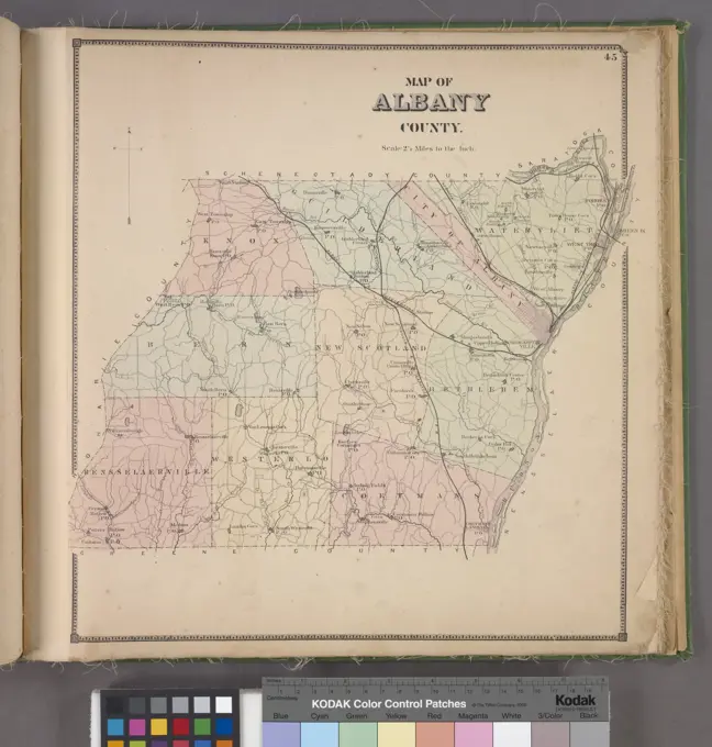
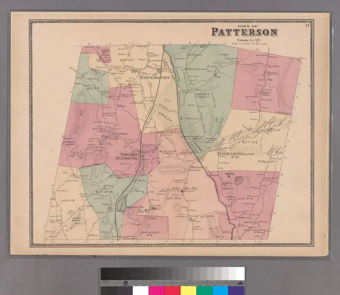
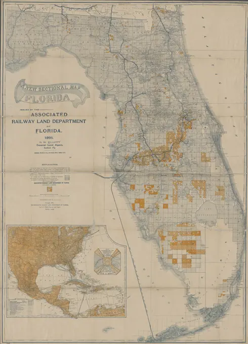
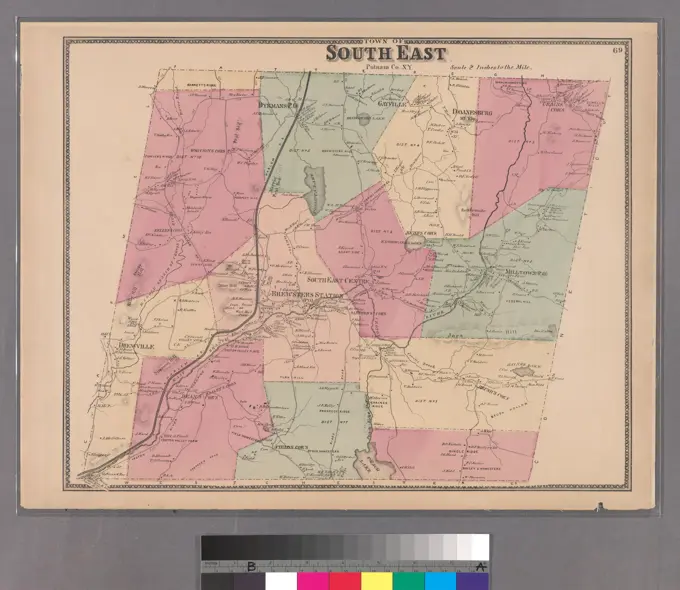
Old Maps of Wilderness and States

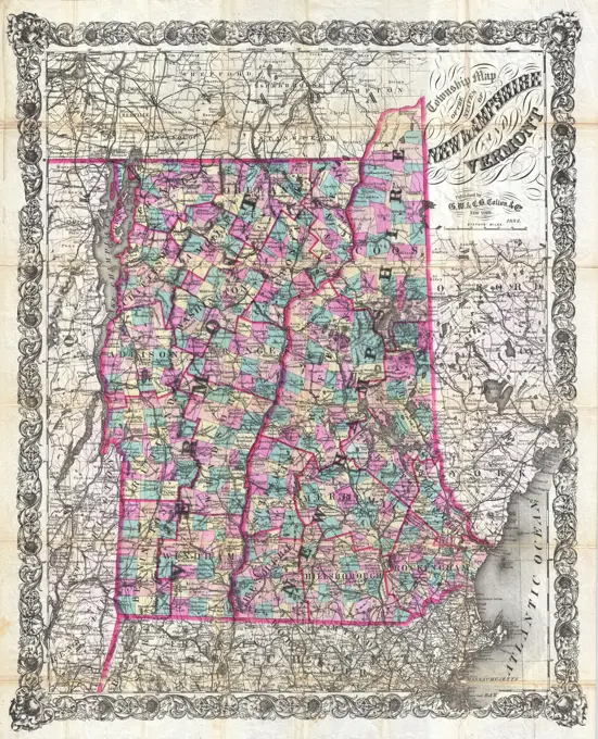
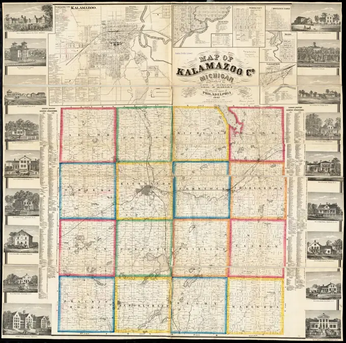
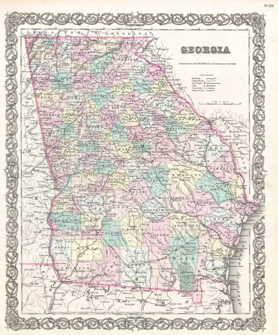
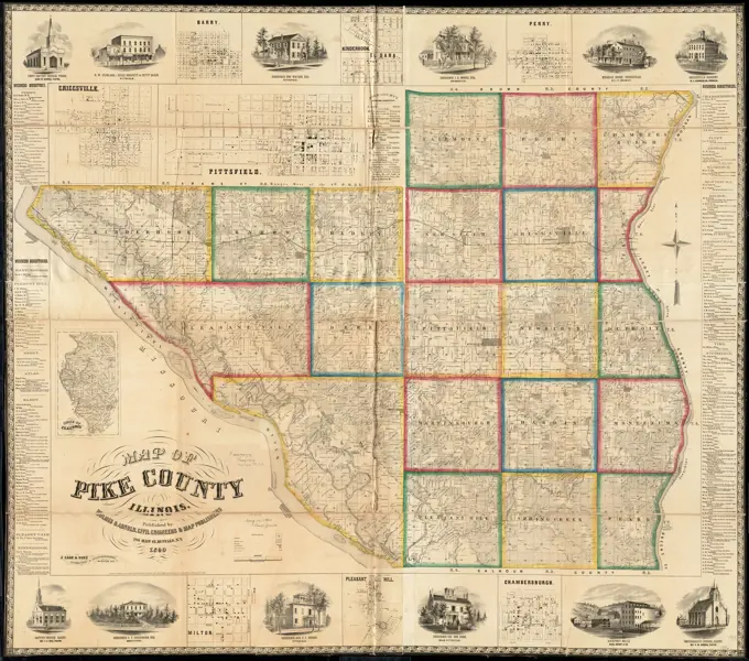
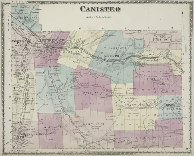
Antique maps depicting the New York Wilderness, Illinois, and Manitoba, featuring colorful regions and intricate details of geography.

Colton's map of the New York Wilderness and the Adirondacks. Relief shown by hachures and spot heights. Inset: New York (State) and vicinity. "Entered according to Act of Congress in the year 1881 by G.W. & C.B. Colton & Co. ..." Below copyright statement: 1884.... , New York  , Adirondack Mountains
Colton's map of the New York Wilderness and the Adirondacks. Relief shown by hachures and spot heights. Inset: New York (State) and vicinity. "Entered according to Act of Congress in the year 1881 by G.W. & C.B. Colton & Co. ..." Below copyright statement: 1884.... , New York , Adirondack Mountains
160 assets in this story
6145-52360100
County map of the States of Iowa and Missouri. Mitchell, S. Augustus (Samuel Augustus), 1792-1868. Cartographic. Maps. 1863. Lionel Pincus and Princess Firyal Map Division
6145-52359734
Erieville Village; Nelson Township; Business Notices, Tow. of Nelson Cartographic. Atlases, Maps. 1875. Lionel Pincus and Princess Firyal Map Division. Madison County (N.Y.), Real property , New York (State) , Madison County, Business enterprises , New York (State) , Madison County
6145-51396844
Map of the county of Norfolk, Massachusetts : based upon the trigonometrical survey of the state , Real property, Massachusetts, Norfolk County, Maps, Landowners, Massachusetts, Norfolk County, Maps, Norfolk County Mass., Maps Norman B. Leventhal Map Center Collection
6145-29095729
1892 Colton Pocket Map of Vermont and New Hampshire
6145-51386576
Post route map of the state of Iowa showing post offices with the intermediate distances on mail routes in operation on the 1st of December, 1897 , Counties, Iowa, Maps, Postal service, Iowa, Maps, Railroads, Iowa, Maps, Iowa, Maps Norman B. Leventhal Map Center Collection
6145-48719120
Map of North Carolina , North Carolina, Maps Norman B. Leventhal Map Center Collection
6145-55914504
Map of Kalamazoo Co., Michigan. Entered according to Act of Congress in the year 1861 by David S. Harley in the District Court of the district of Michigan. Includes distance table, business and subscribers' directories, and 18 illustrations of residential, public, and commercial properties. Insets: Kalamazoo -- Augusta -- Schoolcraft -- Brady -- Galesburgh.... , Michigan  , Kalamazoo  ,county   , Augusta Michigan  , Kalamazoo  ,county   , Galesburg Michigan  , Kalamazoo  ,county   , Kalamazoo Michigan  , Kalamazoo  ,county   , Schoolcraft Michigan  , Kalamazoo  ,county   , Vicksburg
6145-29094829
1855 Colton Map of Georgia
6145-52359694
Scipio Township Cartographic. Atlases, Maps. 1875. Lionel Pincus and Princess Firyal Map Division. Cayuga County (N.Y.), Real property , New York (State) , Cayuga County
6145-51396833
Map of the county of Bristol, Massachusetts : based upon the trigonometrical survey of the state , Real property, Massachusetts, Bristol County, Maps, Bristol County Mass., Maps Norman B. Leventhal Map Center Collection
6145-52359730
Hamilton Township; Town of Hamilton Business Notices; Poolville Village Cartographic. Atlases, Maps. 1875. Lionel Pincus and Princess Firyal Map Division. Madison County (N.Y.), Real property , New York (State) , Madison County, Business enterprises , New York (State) , Madison County
6145-50571815
Map of Worcester County, Massachusetts , Worcester County Mass., Maps Norman B. Leventhal Map Center Collection
6145-55917805
Whitman National Forest, Blue Mountains Division, Oregon. Relief shown by hachures and spot heights. "Willamette meridian." "Baker City base."... , Oregon  , Baker  ,county   , Wallowa Whitman National Forest
6176-66906346
Map of Arizona and New Mexico. 1867
6145-54549442
Southport Township; Southport Subscriber's Business Directory Cartographic. Atlases, Maps. 1869. Lionel Pincus and Princess Firyal Map Division. Chemung County (N.Y.), Real property , New York (State) , Chemung County, Business enterprises , New York (State) , Chemung County
6145-51386593
Post route map of the State of Minnesota showing post offices with the intermediate distances and mail routes in operation on the 1st. of December 1895 , Counties, Minnesota, Maps, Railroads, Minnesota, Maps, Postal service, Minnesota, Maps, Minnesota, Maps Norman B. Leventhal Map Center Collection
6145-52359770
Howard Township Cartographic. Atlases, Maps. 1873. Lionel Pincus and Princess Firyal Map Division. Steuben County (N.Y.), Real property , New York (State) , Steuben County, Business enterprises , New York (State) , Steuben County
6145-51394743
Map of Perry County, Ohio , Landowners, Ohio, Perry County, Maps, Real property, Ohio, Perry County, Maps, Cities and towns, Ohio, Perry County, Maps, Perry County Ohio, Maps Norman B. Leventhal Map Center Collection
6239-70845547
Map of Hamilton County, Ohio : exhibiting the various divisions and sub divisions of land with the name of the owners & number of acres in each tract together with the roads, canals, streams, towns &c. throughout the county  | Library of Congress
6176-66918494
J H Colton's Map of Mississippi and Louisiana, circa 1863
6145-55914545
Map of Merrimack County, New Hampshire. Relief shown by hachures. Includes 45 inset maps, distance chart, statistical table, business directories, and 14 illustrations.... , New Hampshire  , Merrimack  ,county
6145-55916678
Post route map of the State of Iowa showing post offices with the intermediate distances and mail routes in operation on the 1st of December, 1895. Also shows railroads, counties, and congressional districts. Includes list of counties showing relative position. "The service on this diagram brought up to date of Dec. 1st. 1895."... , Iowa
6176-66905718
J H Colton's Map of Missouri and Kansas, circa 1863
6145-51387377
Sectional & topographical map of Holmes County, Ohio , Landowners, Ohio, Holmes County, Maps, Real property, Ohio, Holmes County, Maps, Cities and towns, Ohio, Holmes County, Maps, Holmes County Ohio, Maps Norman B. Leventhal Map Center Collection
6145-48719152
Oil and gas producing areas in Oklahoma , Oklahoma, Maps, Oil fields, Oklahoma, Maps, Gas fields, Oklahoma, Maps Norman B. Leventhal Map Center Collection
6145-55914608
Map of Pike County, Illinois. Entered according to Act of Congress AD1860 by Holmes & Arnold in the Clerks Office of the District Court of the Northern District of New York. Includes business directories, views of public, residential, and commercial properties. Insets: Criggsville -- Barry -- Kinderhook -- El Dara -- Perry -- Chambersburgh -- Pleasant Hill -- Milton -- State of Illinois.... , Illinois  , Pike  ,county
6145-29094793
1855 Colton Map of Alabama
6145-55181201
West Union Business Notices; West Union Township Cartographic. Atlases, Maps. 1873. Lionel Pincus and Princess Firyal Map Division. Steuben County (N.Y.), Real property , New York (State) , Steuben County, Business enterprises , New York (State) , Steuben County
6145-55181187
Hartsville Business Notices; Hartsville Township; Hartsville Center Village Cartographic. Atlases, Maps. 1873. Lionel Pincus and Princess Firyal Map Division. Steuben County (N.Y.), Real property , New York (State) , Steuben County, Business enterprises , New York (State) , Steuben County
6176-66914325
County and township pocket map of Nevada, accompanied by a new and original compilation showing in detail the entire railroad network. 1893
6145-55181028
Westville Township; Westville Business Notices. ; Westville Village Cartographic. Atlases, Maps. 1876. Lionel Pincus and Princess Firyal Map Division. Franklin County (N.Y.), Real property , New York (State)
6145-51393220
A geographically correct county map of states traversed by the St. Louis, Iron Mountain and Southern Railway, and its connections , St. Louis, Iron Mountain, and Southern Railway Company, Railroads, Southwest, Old, Maps, Southwest, Old, Maps Norman B. Leventhal Map Center Collection
6145-50569578
Colton's railroad & township map of Arkansas , Railroads, Arkansas, Maps, Arkansas, Maps Norman B. Leventhal Map Center Collection
6145-51392331
Colton's railroad & township map of Arkansas , Railroads, Arkansas, Maps, Arkansas, Maps Norman B. Leventhal Map Center Collection
6145-29095059
1859 Colton Pocket Map of Arkansas ( Railroads )
6145-51388098
State of Wisconsin , Railroad land grants, Wisconsin, Maps, Wisconsin, Maps Norman B. Leventhal Map Center Collection
6145-55917210
State of Michigan. Relief shown by hachures. Shows drainage, county boundaries, railroads, railroad grants, Indian reservations, townships, etc. Prime meridans: Greenwich and Washington. "J.S. Williamson, Commissioner."... , Michigan
6145-51387318
Saskatchewan : map showing disposition of lands , Land use, Saskatchewan, Maps, Saskatchewan, Maps Norman B. Leventhal Map Center Collection
6145-51387926
Southern Alberta : map showing disposition of lands , Real property, Alberta, Maps, Land use, Alberta, Maps, Alberta, Maps Norman B. Leventhal Map Center Collection
6145-55180864
Map of the county of Monroe Cartographic. Atlases, Maps. 1829. Lionel Pincus and Princess Firyal Map Division. New York (N.Y.), New York (State), Monroe County (N.Y.) , Maps, Real property , New York (State) , Monroe County
6145-51395280
Map of Wisconsin showing geology and roads , Geology, Wisconsin, Maps, Roads, Wisconsin, Maps, Wisconsin, Maps Norman B. Leventhal Map Center Collection
6145-50571339
A geographically correct county map of states traversed by the St. Louis, Iron Mountain and Southern Railway, and its connections , St. Louis, Iron Mountain, and Southern Railway Company, Railroads, Southwest, Old, Maps, Southwest, Old, Maps Norman B. Leventhal Map Center Collection
6145-51395137
Map of the town of Leominster : Worcester County, Mass , Landowners, Massachusetts, Leominster, Maps, Leominster Mass., Maps Norman B. Leventhal Map Center Collection
6145-55957961
Monroe County, Double Page Plate No. 13 Map of town of Penfield, E. Penfield Cartographic. Atlases, Maps. 1902. Lionel Pincus and Princess Firyal Map Division. Monroe County (N.Y.), Real property , New York (State) , Monroe County
6145-50536561
Colton's Vermont , Vermont, Maps Norman B. Leventhal Map Center Collection
6145-54549560
Map of Albany County Cartographic. Atlases, Maps. 1866. Lionel Pincus and Princess Firyal Map Division. Albany County (N.Y.)
6145-52359774
Wheeler Township; Wheeler Business Notices Cartographic. Atlases, Maps. 1873. Lionel Pincus and Princess Firyal Map Division. Steuben County (N.Y.), Real property , New York (State) , Steuben County, Business enterprises , New York (State) , Steuben County
6145-54269099
Political map of California. 1888. From the "Battle-ground of the presidential election" in the October 6, 1888 issue of Harper's Weekly. Voting results represented by color-coded bars for the years 1872, 1876, 1880, 1884, and 1888. 1888 bars are blank, to be filled in after the election.... , California
6145-55958056
Cayuga County, Right Page Map of town of Cato Cartographic. Atlases, Maps. 1904. Lionel Pincus and Princess Firyal Map Division. Real property , New York (State) , Herkimer County, Herkimer County (N.Y.) , Description and travel
6145-51397487
A new sectional map of Florida , Railroads, Florida, Maps, Real property, Florida, Maps, Florida, Administrative and political divisions, Maps Norman B. Leventhal Map Center Collection
6145-55180973
Elsinore Subscriber's Business Directory.; Plattburgh and Schuyler Falls Township; West Plattburgh Subscriber's Business Directory.; Schuyler Subscriber's Business Directory. Cartographic. Atlases, Maps. 1869. Lionel Pincus and Princess Firyal Map Division. Clinton County (N.Y.)
6145-55181271
Outline Plan of Niagara & Orleans Counties Cartographic. Atlases, Maps. 1875. Lionel Pincus and Princess Firyal Map Division. Niagara County (N.Y.), Orleans County (N.Y.), Real property , New York (State) , Niagara County, Real property , New York (State) , Orleans County
6145-55926005
Cartographic, Maps. 1868. Lionel Pincus and Princess Firyal Map Division. Real property , New York Metropolitan Area, Westchester County (N.Y.), New York Metropolitan Area Plate 71: Town of Patterson, Putnam Co. N.Y. Small folder - S2
4443-75468939
A sectional map of Florida from 1895, published by the Associated Railway Land Department of Florida. The map is in color and measures 110 x 78 cm, with the sheet dimensions being 113 x 81 cm. It includes details on real property, railroads, shipping, and the administrative and political divisions of Florida. The map was issued in Sanford, Florida
6145-55957584
Unadilla Village Business Directory. ; Town of Unadilla, Otsego Co. N.Y. Township; Sand Hill Village; Unadilla Centre Village Cartographic. Atlases, Maps. 1868. Lionel Pincus and Princess Firyal Map Division. Otsego County (N.Y.), Real property , New York (State) , Otsego County
6145-55925983
Cartographic, Maps. 1868. Lionel Pincus and Princess Firyal Map Division. Real property , New York Metropolitan Area, Westchester County (N.Y.), New York Metropolitan Area Plate 69: Town of South East, Putnam Co. N.Y. Small folder - S2
4443-75458028
Canisteo Township, 1873, D.G. Beers & Co., Philadelphia, Publisher, D.G. Beers, Steuben County (N.Y.), Real property, New York (State), Business enterprises
6145-52359710
Baldwin Subscriber's Business Directory; Baldwin Township; North Chemung Village Cartographic. Atlases, Maps. 1869. Lionel Pincus and Princess Firyal Map Division. Chemung County (N.Y.), Real property , New York (State) , Chemung County, Business enterprises , New York (State) , Chemung County
6145-51396122
Map of Arkansas : from government and other authentic sources , Agriculture, Arkansas, Maps, Geology, Arkansas, Maps, Forests and forestry, Arkansas, Maps, Livestock, Arkansas, Maps, Mines and mineral resources, Arkansas, Maps, Soils, Arkansas, Maps, Arkansas, Climate, Maps Norman B. Leventhal Map Center Collection
6145-48433810
The Georgia Negro Negro population of Georgia by counties. African American Photographs Assembled for 1900 Paris Exposition.
PREVIOUS
of 2
NEXT
2401 S. Ervay, Suite 206
Dallas, Texas 75215
United States
Get Started
Free ResearchMy BoardsMy Cart
For Creators
How To License Your ContentContributor PortalFrame of Mind
Resources
API accessPricing
Contact
+1 866 236 0087help@viewpictures.co.uk Contact form
©2026 View Pictures. All Rights Reserved. -A
This site is protected by reCAPTCHA and Google Privacy Policy and Terms of Service apply.