My Boards
View Pictures
  • My Boards
← Documents & Records

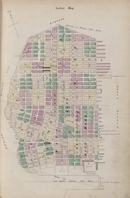
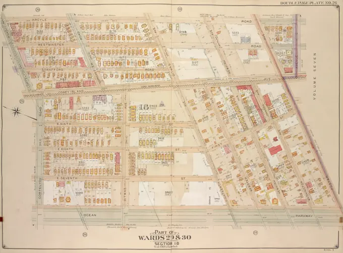
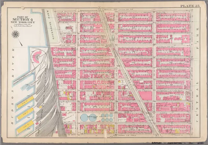
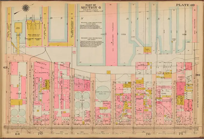
Property Atlas of Boston

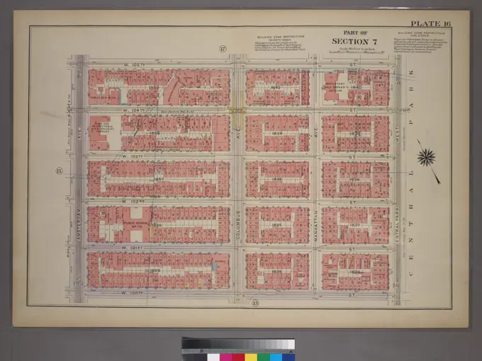
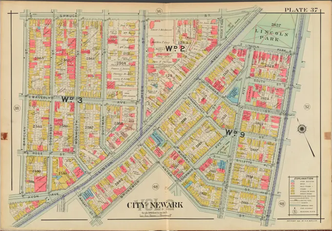
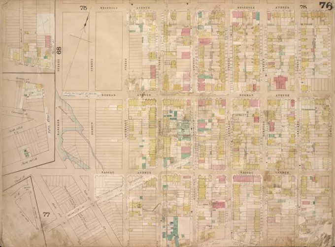
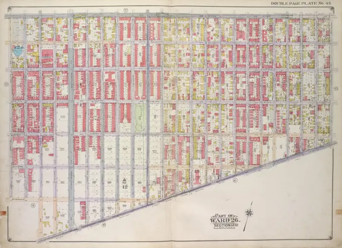
Colorful historical maps detailing real property ownership and block layouts in Boston's Charlestown and East Boston neighborhoods.

Cartographic, Maps. 1927. Lionel Pincus and Princess Firyal Map Division. Real property , New York (State) , New York, Manhattan (New York, N.Y.) Plate 11, Part of Section 1: Bounded by Grand Street, Mulberry Street, Bayard Street, Baxter Street, Franklin Street and West Broadway
356 assets in this story
6145-55176022
E.B. Hyde & Co.. Cartographic, Maps. 1916. Lionel Pincus and Princess Firyal Map Division. Brooklyn (New York, N.Y.), Real property , New York (State) , New York, Maps Brooklyn, Vol. 2, Double Page Plate No. 9; Part of Wards 29, 30 & 31 Section 16; Map bounded by Cortelyou Road, E. 17th St., Avenue G; Including Foster Ave., Garvesend Ave., West St.
6145-55926763
Cartographic, Maps. 1886. Lionel Pincus and Princess Firyal Map Division. Brooklyn (New York, N.Y.), Real property , New York (State) , New York Plate 15: Bounded by Ten Eyck Street, Knickerbocker Avenue, Flushing Avenue, Harrison Avenue, Gwinnett Street, Broadway and Union Avenue. Plate 15: Part of Wards 16, 18., & 19. Brooklyn, N.Y.
6145-55927927
Cartographic, Maps. 1921. Lionel Pincus and Princess Firyal Map Division. Manhattan (New York, N.Y.), Real property , New York (State) , New York, New York (N.Y.) Plate 16, Part of Section 7: Bounded by W. 105th Street, Central Park West, W. 100th Street and Amsterdam Avenue.
6145-55958269
Newark, V. 2, Double Page Plate No. 37 Map bounded by Spruce St., Broad St., Astor St., Brunswick St., Barclay St. Cartographic. Atlases, Maps. 1911-12. Lionel Pincus and Princess Firyal Map Division. Newark (N.J.)
6145-55181001
Plate C Cartographic. Atlases, Maps. 1876. Lionel Pincus and Princess Firyal Map Division. Albany (N.Y.)
4409-21518617
Plate 10, Part of Section 3: Bounded by E. 26th Street, Second Avenue, E. 20th Street, Broadway, E. 23rd Street and Madison Avenue.
6145-55927402
Cartographic, Maps. 1899. Lionel Pincus and Princess Firyal Map Division. Manhattan (New York, N.Y.), Real property , New York (State) , New York Plate 30, Part of Section 2: Bounded by E. 14th Street, Second Avenue, E. 8th Street and University Place
6145-55180910
Parts of Ninth, Tenth, and Eleventh Wards. Cartographic. Maps. 1872. Lionel Pincus and Princess Firyal Map Division. Buffalo (N.Y.)
6145-55927485
E.B. Hyde & Co.. Cartographic, Maps. 1916. Lionel Pincus and Princess Firyal Map Division. Brooklyn (New York, N.Y.), Real property , New York (State) , New York Brooklyn, Vol. 1, Double Page Plate No. 25; Part of Wards 21 & 23, Section 6; Map bounded by Stockton St., Broadway, Reid Ave., Monroe St., Styvensant Ave.; Including Gates Ave., Sumner Ave., Quincy St., Marcy Ave.
6145-51390434
Atlas of the city of Boston, South Boston : plate 11 , Boston Mass., Maps, Real property, Massachusetts, Boston, Maps, Landowners, Massachusetts, Boston, Maps Norman B. Leventhal Map Center Collection
4409-21520943
Brooklyn, Vol. 1, Double Page Plate No. 34; Part of Ward 8, Section 3; Map bounded by 44th St., 6th Ave., 49th St.; Including 5th Ave., 42nd St., 2nd Ave.
6145-55927312
Cartographic, Maps. 1868. Lionel Pincus and Princess Firyal Map Division. Brooklyn (New York, N.Y.), Fire insurance , New York (State) , New York Brooklyn, Vol. 4, Double Page Plate No. 76; Map bounded by North 14th St., North 15th St., 5th St., Guernsey St., Lorimer St., Van Cott Ave., Oakland St., Newel St., Bancker St., Meserole Ave.; Including Banker St., 2nd St., Norman Ave., 3rd St., Dobbin St., Nassau Ave., Guernsey St., Lorimer St., Manhattan Ave. Late Union Place, Leonard St., Eckford St.
6145-55957792
Buffalo, Double Page Plate No. 1 Map bounded by Main St., Goodell St., Mighigan St., Eagle St. Cartographic. Atlases, Maps. 1891. Lionel Pincus and Princess Firyal Map Division. Real property , New York (State) , zBuffalo
4409-21521949
Plate 107: Bounded by E. 71st Street, Avenue A, E. 65th Street and Third Avenue.
6145-55176015
E.B. Hyde & Co.. Cartographic, Maps. 1916. Lionel Pincus and Princess Firyal Map Division. Brooklyn (New York, N.Y.), Real property , New York (State) , New York Brooklyn, Vol. 1, 2nd Part, Double Page Plate No. 43; Part of Ward 26, Section 12-13; Map bounded by Pitkin Ave., Berriman St., New Lots Ave.; Including Georgia Ave., Riverdale Ave., Williams Ave.
6145-55925619
Cartographic, Maps. 1921 - 1923. Lionel Pincus and Princess Firyal Map Division. Real property , New York (State) , New York, Manhattan (New York, N.Y.) Plate 101: Bounded by W. 105th Street, Central Park West, W. 100th Street and Amsterdam Avenue
6145-55925785
Cartographic, Maps. 1921 - 1923. Lionel Pincus and Princess Firyal Map Division. Real property , New York (State) , New York, Manhattan (New York, N.Y.) Plate 28: Bounded by E. 9th Street, Avenue A, E. 7th Street, Avenue B, East 4th Street and Second Avenue
6145-54522813
E.B. Hyde & Co.. Cartographic, Maps. 1916. Lionel Pincus and Princess Firyal Map Division. Brooklyn (New York, N.Y.), Real property , New York (State) , New York, Maps Brooklyn, Vol. 2, Double Page Plate No. 16; Part of Ward 30, Sections 17 & 19; Map bounded by 66th St., 22nd Ave.; Including 74th St., 15th Ave.
6145-51393728
Insurance map of Boston vol. 3 (South & East Boston) : plate 66 , Fire risk assessment, Massachusetts, Boston, Maps, South Boston Boston, Mass., Maps Norman B. Leventhal Map Center Collection
4409-21518227
Plate 40: Map bounded by Houston Street, Avenue B, Second Street, Pitt Street, Houston Street, Willet Street, Rivington Street, Essex Street. 1852, 1854, William Perris, New York, N.Y., USA.
4443-75478268
Index Map, 1866, I.B. Culver & Co., 1866., Jersey City, N.J. Publisher, I.B. Culver & Co. Fire insurance, New Jersey, Jersey City
4409-21520190
Plate 1: Ward 5 & Part of Wards 2, 4 & 11.
6145-55175920
E.B. Hyde & Co.. Cartographic, Maps. 1906. Lionel Pincus and Princess Firyal Map Division. Brooklyn (New York, N.Y.) , Maps, Real property , New York (State) , New York Brooklyn, Vol. 5, Double Page Plate No. 26; Part of Wards 29 & 30, Section 16; Map bounded by Argyle Road, Avenue G, Foster Ave.; Including Ocean Parkway, Cortelyou Road
6145-50566131
Atlas of the city of Boston : city proper : plate 71 , Boston Mass., Maps, Real property, Massachusetts, Boston, Maps, Landowners, Massachusetts, Boston, Maps, South End Boston, Mass., Maps Norman B. Leventhal Map Center Collection
4409-21522412
Part of Section 4 : Plate 90.
6145-55927317
Cartographic, Maps. 1868. Lionel Pincus and Princess Firyal Map Division. Brooklyn (New York, N.Y.), Fire insurance , New York (State) , New York Brooklyn, Vol. 4, Double Page Plate No. 80; Map bounded by Leonard St., Orchard St., 5th St., Loniner St., Van Pelt St., Leonard St., Conselyea St., Skillman Ave., Jackson St., Wthers St., Frost St., Richardson St., Bayard St.; Including Newtow St., Jane St., Lorimer St., Union Ave., North 12th St., North 11th St., North 10th St., North 9th St., North 8th St., North 7th St., North 6th St., Roebling St. late 6th St., Havemeyer St. late 7th St.
4409-21523104
Plate 21: Part of Wards 13, 14, 15, 16 & 19 City of Brooklyn.
6145-55926517
Cartographic, Maps. 1911. Lionel Pincus and Princess Firyal Map Division. New York (N.Y.), Manhattan (New York, N.Y.), Real property , New York (State) , New York , Manhattan Plate 25: Bounded by W. 75th Street, Central Park West (8th Avenue), W. 64th Street, Hudson River Piers E-I, W. 72nd Street, and Riverside Avenue. Part of Section 4, New York City.
4409-21510233
Part of Section 6 : New York City.
4409-21518851
Plate 22: Part of Section 6.
6145-55926358
Cartographic, Maps. 1899. Lionel Pincus and Princess Firyal Map Division. Brooklyn (New York, N.Y.), Real property , New York (State) , New York Double Page Plate No. 1: Bounded by Avenue H, E. 18th St., Avenue L, Gravesend Ave., Avenue J and Ocean Parkway; Sub Plan bounded by Avenue F, E. 17th St., Avenue H, Coney Island Ave., Foster Ave. and E. 14th St. Part of Wards 31 & 32, Land Map Sections, Nos. 16 & 20, Volume 3, Brooklyn Borough, New York City
6145-55927257
Cartographic, Maps. 1899. Lionel Pincus and Princess Firyal Map Division. Manhattan (New York, N.Y.), Real property , New York (State) , New York Plate 7, Part of Section 1: Bounded by New Bowery Street, East Broadway, Pike Street, Pike Slip, South Street, and New Street
4409-21521220
Plate 3: Section 6.
6145-55926912
Cartographic, Maps. 1898. Lionel Pincus and Princess Firyal Map Division. Brooklyn (New York, N.Y.), Real property , New York (State) , New York Double Page Plate No. 5: Bounded by Avenue D, East 53rd Street, Avenue E, East 52nd Street, Avenue F, East 51st Street, Paerdegat Avenue, Utica Avenue, Avenue G and Nostrand Avenue. Part of Wards 29 & 32, Land Map Sections, No. 15 & 24. Volume 2, Brooklyn Borough, New York City.
4409-21509643
Part of Ward 12, New York City.
6145-55927005
Cartographic, Maps. 1880. Lionel Pincus and Princess Firyal Map Division. Brooklyn (New York, N.Y.), Real property , New York (State) , New York Vol. 6. Plate, I. Map bound by Conselyea St., Bushwick Ave., Ten Eyck St., S. Second St., Eleventh St., Grand St., Tenth St., Union Ave.; Including N. Second St., Devoe St., Ainslie St., Hope St., Powers St., S. First St., Maujer St., Lorimer St., Leonard St., Ewen St., Graham Ave., Humboldt St.
4409-21510846
Part of Section 3 : Plate 45.
4409-21522081
Part of Section 5: Plate 114.
4409-21508126
Part of Section 7: Plate 138.
4409-21522119
Plate 63: Map bounded by West 17th Street, Eighth Avenue, West 13th Street, Gansevoort Street, West 12th Street, Tenth Avenue. 1857, 1862, Perris and Browne, New York, USA.
4409-21520107
Plate 12: Map bounded by York Street, Navy Street, Condord Street, Jay Street. 1855, William Perris, Brooklyn, New York, N.Y., USA.
6145-48457217
Rathenau Georg (born 1866), development of the suburbs of Berlin. Monthly competition December 1893 (12,1893): site plan; Scale bar. Tusche watercolor over pressure on the box, 80.6 x 52.4 cm (including scan edges) Rathenau Georg  (geb. 1866): Bebauung der Vororte von Berlin. Monatskonkurrenz Dezember 1893
6145-55925634
Cartographic, Maps. 1921 - 1923. Lionel Pincus and Princess Firyal Map Division. Real property , New York (State) , New York, Manhattan (New York, N.Y.) Plate 69: Bounded by (Hudson River Piers) Twelfth Avenue, W. 50th Street, Eleventh Ave and W. 41st Street
4409-21511380
Part of Section 4 : New York City.
6145-55926341
Bromley, George Washington. Cartographic, Maps, Atlases, land surveys. 1907. Lionel Pincus and Princess Firyal Map Division. Brooklyn (New York, N.Y.) , Maps Plate 29: Coney Island. Bounded by Canal Avenue (Coney Island Creek), Shell Road, Dewey Place, W. 6th Street, Neptune Avenue, W. 3rd Street, Riverside Avenue, Ocean Parkway, Concourse Drive, (Dreamland & Steeplechase Park) Surf Avenue and W. 23rd Street Plate 19
4409-21523004
Plate 11: Bounded by 58th Street, Fourteenth Avenue, 72nd Street, Stewart Avenue Cowenhoven Lane and Seventh Avenue.
6145-55924489
Cartographic, Maps. 1893. Lionel Pincus and Princess Firyal Map Division. New York (N.Y.) Plate 23 Map bounded by W. 14th St., 4th Ave., Astor Pl., Waverly Pl., 6th Ave.
4409-21518670
Plate 9: Bounded by W. 122nd Street, Lenox Avenue, W. 116th Street and Eighth Avenue.
4409-21510709
Plate 76: Bounded by W. 53rd Street, Seventh Avenue, W. 47th Street, and Ninth Avenue.
6145-55924474
Cartographic, Maps. 1893. Lionel Pincus and Princess Firyal Map Division. New York (N.Y.) Plate 15 Map bounded by W. Houston St., Crosby St., Grand St., Varick St.
4409-21510896
Part of Section 3 : Plate 55.
6145-51389783
Atlas of the city of Boston, Boston proper and Back Bay : plate 20 , Boston Mass., Maps, Real property, Massachusetts, Boston, Maps, Landowners, Massachusetts, Boston, Maps, Back Bay Boston, Mass., Maps Norman B. Leventhal Map Center Collection
4409-21508547
Plate 28: Bounded by Fifth Avenue, E. 80th Street, Second Avenue, and E. 64th Street.
6145-52305557
Hospital Council of Greater New York. Cartographic, Maps. 1945. Lionel Pincus and Princess Firyal Map Division. New York (N.Y.) , Population, Population Population distribution map.
6145-55926391
Cartographic, Maps. 1867. Lionel Pincus and Princess Firyal Map Division Sheet 7: Bounded by Mc Dougall Street, Houston Street, Hancock Street, Bleecker Street, Sixth Avenue, E, Twentieth Street,Avenue A, Delancy Parkway, Bowery and Spring Street.
4409-21519215
Plate 11: Part of Section 6.
PREVIOUS
of 4
NEXT
2401 S. Ervay, Suite 206
Dallas, Texas 75215
United States
Get Started
Free ResearchMy BoardsMy Cart
For Creators
How To License Your ContentContributor PortalFrame of Mind
Resources
API accessPricing
Contact
+1 866 236 0087help@viewpictures.co.uk Contact form
©2026 View Pictures. All Rights Reserved. -A
This site is protected by reCAPTCHA and Google Privacy Policy and Terms of Service apply.