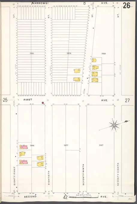
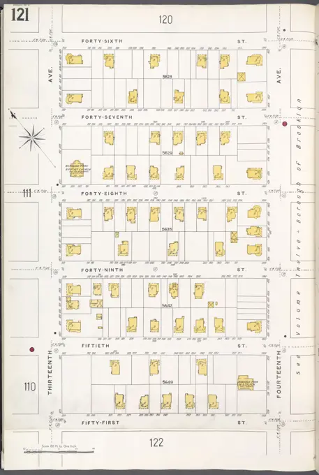
Real Estate Fire Insurance Plates
Pages from fire insurance maps for Brooklyn from 1884 to 1936, highlighting property layouts and urban development across various areas.

Pages from fire insurance maps for Brooklyn from 1884 to 1936, highlighting property layouts and urban development across various areas.