My Boards
View Pictures
  • My Boards
← Science

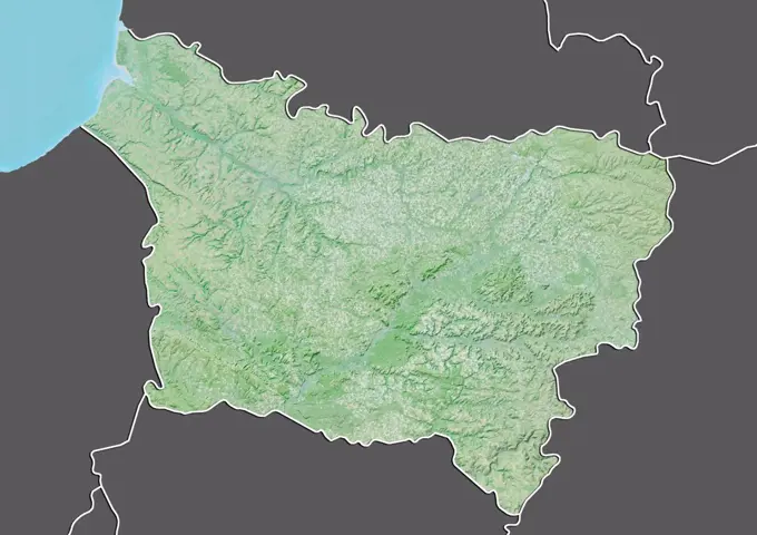
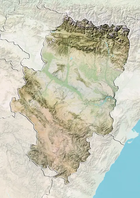
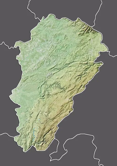
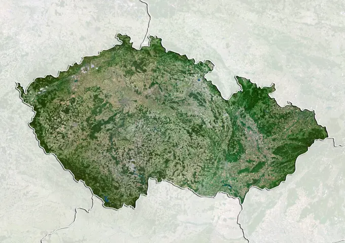
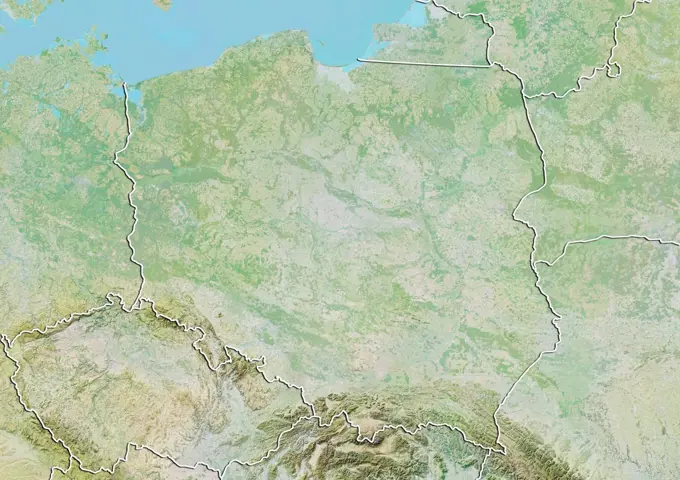
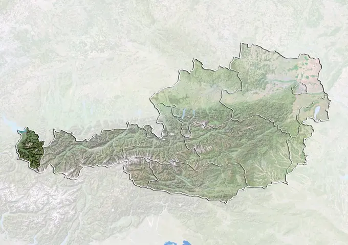
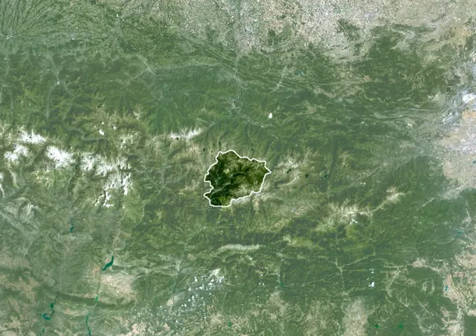
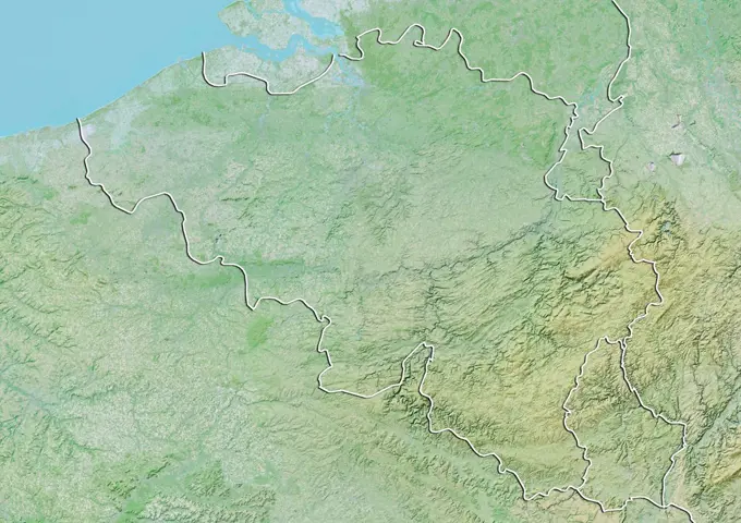
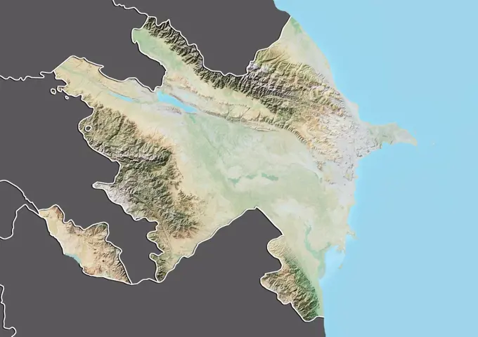
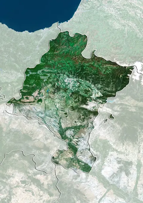
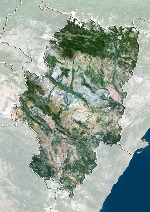
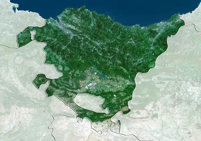
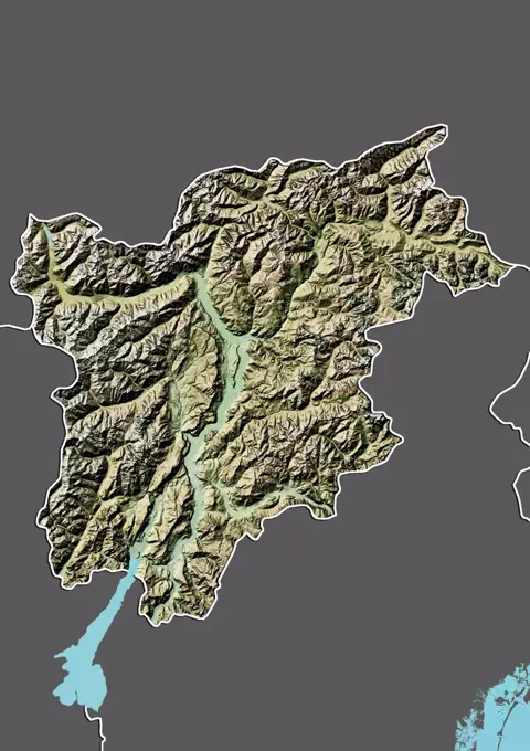
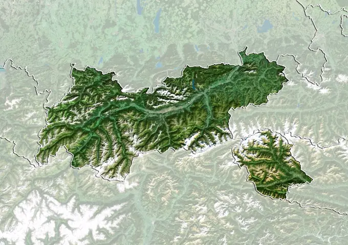
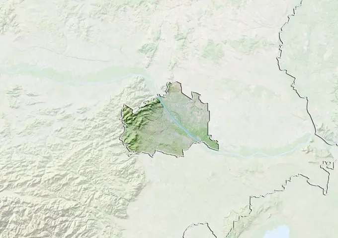
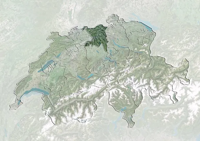
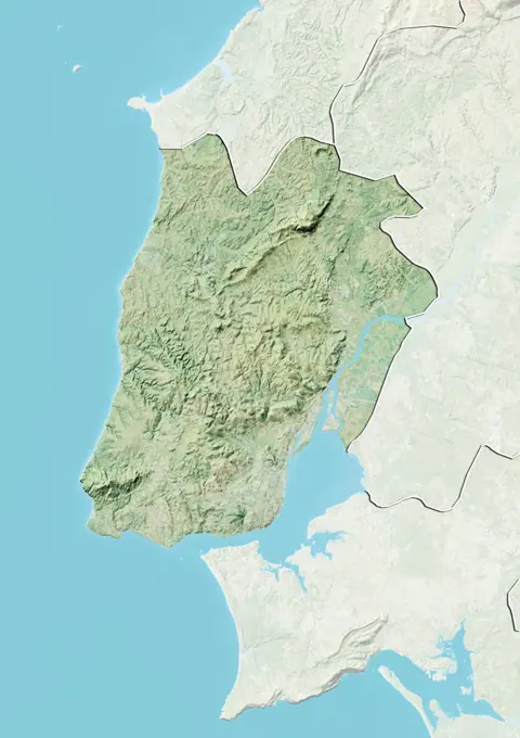
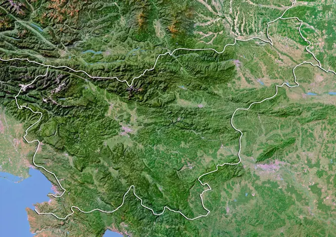
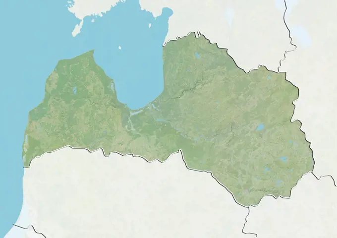
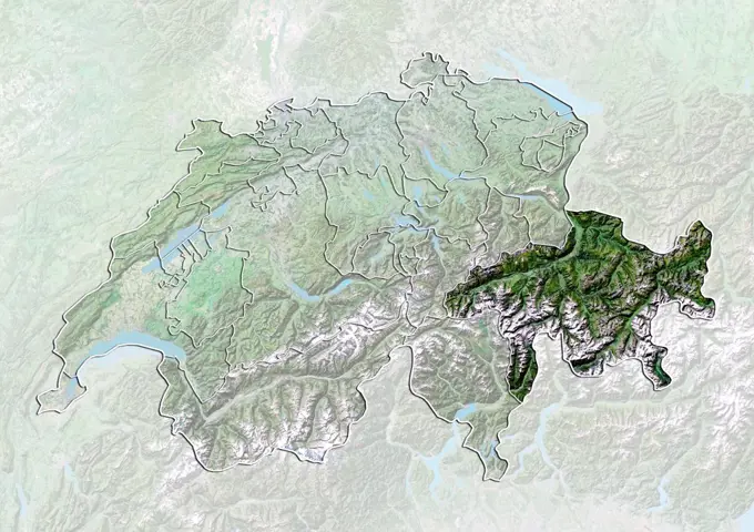
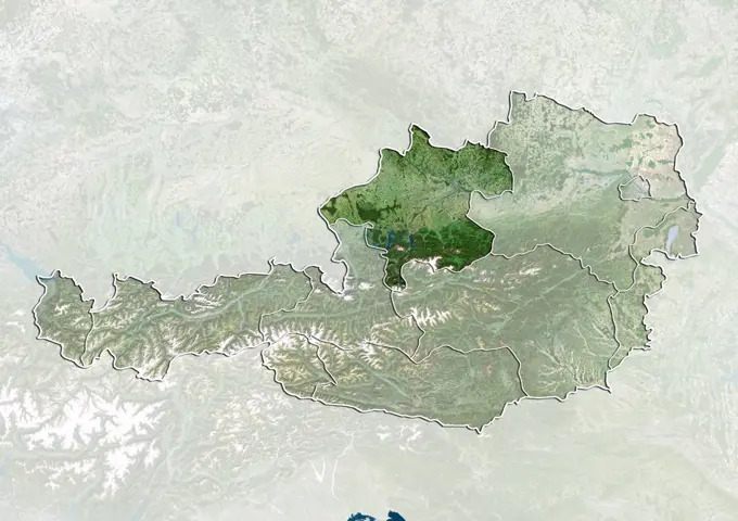
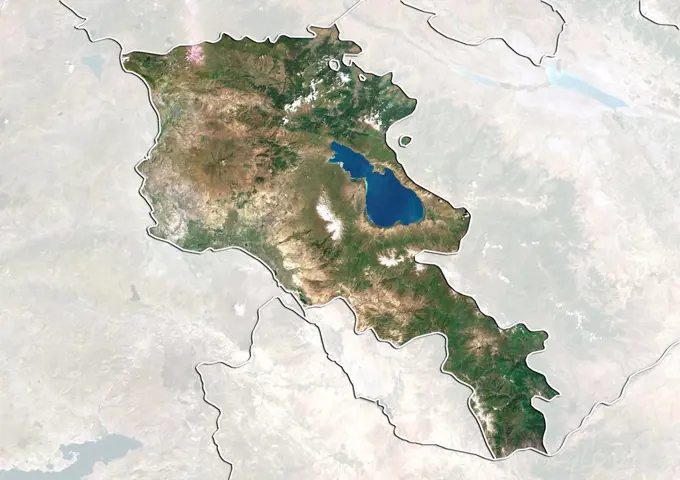
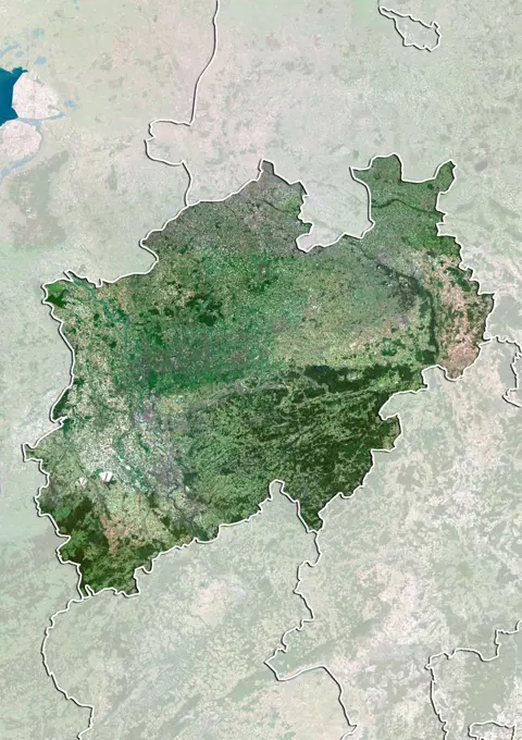
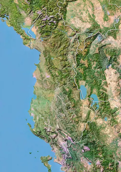
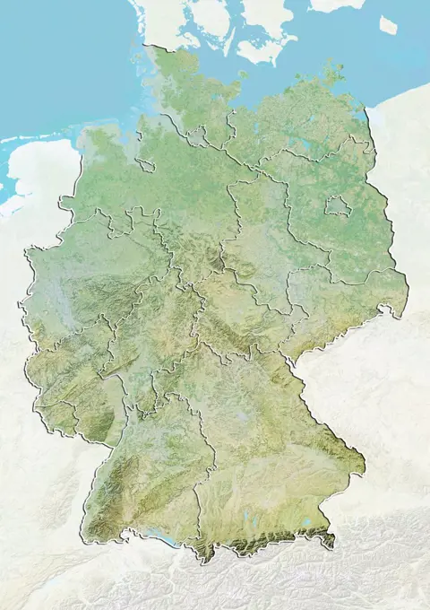
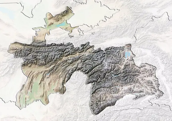
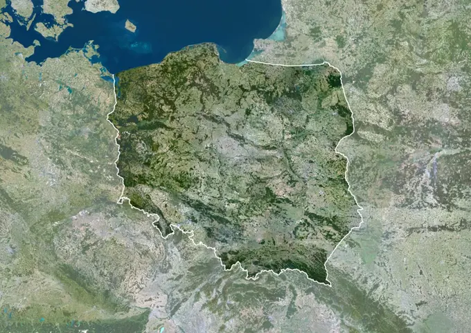
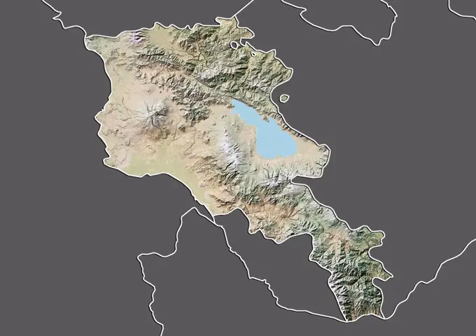
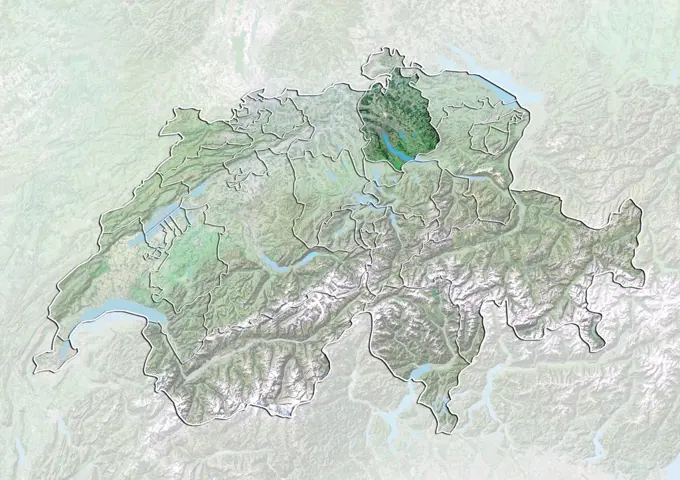
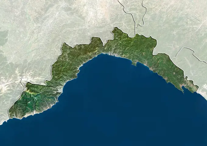
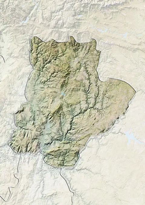
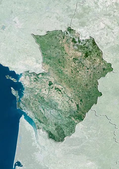
Relief Maps of European Regions

Detailed relief maps showcasing various European regions like Picardy, Aragon, and others, highlighting geological features and elevation data.

Relief map of Franche-Comte, France. This image was compiled from data acquired by LANDSAT 5 & 7 satellites combined with elevation data.
135 assets in this story
1899-66894
Relief map of Picardy, France. This image was compiled from data acquired by LANDSAT 5 & 7 satellites combined with elevation data.
1899-82150
Relief map of Aragon, Spain. This image was compiled from data acquired by LANDSAT 5 & 7 satellites combined with elevation data.
1899-81888
Relief map of Franche-Comte, France. This image was compiled from data acquired by LANDSAT 5 & 7 satellites combined with elevation data.
1899-66926
Relief map of the region of Umbria, Italy. This image was compiled from data acquired by LANDSAT 5 & 7 satellites combined with elevation data.
1899-82163
Satellite view of Castile and Leon, Spain. This image was compiled from data acquired by LANDSAT 5 & 7 satellites.
1899-80509
Satellite view of Austria with bump effect, showing the State of Tyrol. This image was compiled from data acquired by LANDSAT 5 & 7 satellites combined with elevation data.
1899-66914
Relief map of the region of Basilicata, Italy. This image was compiled from data acquired by LANDSAT 5 & 7 satellites combined with elevation data.
1899-66742
Relief map of Czech Republic (with border and mask). This image was compiled from data acquired by landsat 5 & 7 satellites combined with elevation data.
1899-81889
Satellite view of Franche-Comte, France. This image was compiled from data acquired by LANDSAT 5 & 7 satellites.
1899-81924
Relief map of Rhone-Alpes, France. This image was compiled from data acquired by LANDSAT 5 & 7 satellites combined with elevation data.
1899-66885
Relief map of Franche-Comte, France. This image was compiled from data acquired by LANDSAT 5 & 7 satellites combined with elevation data.
1899-82030
Relief map of the State of West Bengal, India. This image was compiled from data acquired by LANDSAT 5 & 7 satellites combined with elevation data.
1899-81962
Relief map of the State of Saxony, Germany. This image was compiled from data acquired by LANDSAT 5 & 7 satellites combined with elevation data.
1899-81622
Relief map of Serbia (with border and mask). This image was compiled from data acquired by landsat 5 & 7 satellites combined with elevation data.
1899-79751
Satellite view of Czech Republic (with border and mask). This image was compiled from data acquired by LANDSAT 5 & 7 satellites.
1899-80170
Relief map of Poland (with border). This image was compiled from data acquired by LANDSAT 5 & 7 satellites combined with elevation data.
1899-79607
Relief map of Azerbaijan (with border). This image was compiled from data acquired by LANDSAT 5 & 7 satellites combined with elevation data.
1899-80241
Satellite view of Slovakia with Bump Effect (with border). This image was compiled from data acquired by LANDSAT 5 & 7 satellites.
1899-80503
Satellite view of Austria with bump effect, showing the State of Salzburg. This image was compiled from data acquired by LANDSAT 5 & 7 satellites combined with elevation data.
1899-53517699
Color satellite image of Austria, with mask
1899-81752
Relief map of the State of Rondonia, Brazil. This image is from 1990 and compiled from data acquired by LANDSAT 5 satellite combined with elevation data.
1899-80518
Satellite view of Austria with bump effect, showing the State of Vorarlberg. This image was compiled from data acquired by LANDSAT 5 & 7 satellites combined with elevation data.
1899-81927
Satellite view of Rhone-Alpes, France. This image was compiled from data acquired by LANDSAT 5 & 7 satellites.
1899-35030
Andorra, Europe, True Colour Satellite Image With Border And Mask. Satellite view of Andorra (with border and mask). This image was compiled from data acquired by LANDSAT 5 & 7 satellites.
1899-79630
Relief map of Belgium (with border). This image was compiled from data acquired by LANDSAT 5 & 7 satellites combined with elevation data.
1899-81887
Relief map of Franche-Comte, France. This image was compiled from data acquired by LANDSAT 5 & 7 satellites combined with elevation data.
1899-66717
Relief map of Azerbaijan (with border and mask). This image was compiled from data acquired by landsat 5 & 7 satellites combined with elevation data.
1899-81586
Relief map of Luxembourg (with border and mask). This image was compiled from data acquired by landsat 5 & 7 satellites combined with elevation data.
1899-66922
Relief map of the region of Molise, Italy. This image was compiled from data acquired by LANDSAT 5 & 7 satellites combined with elevation data.
1899-82187
Satellite view of Navarre, Spain. This image was compiled from data acquired by LANDSAT 5 & 7 satellites.
1899-82164
Relief map of Castile La Mancha, Spain. This image was compiled from data acquired by LANDSAT 5 & 7 satellites combined with elevation data.
1899-82151
Satellite view of Aragon, Spain. This image was compiled from data acquired by LANDSAT 5 & 7 satellites.
1899-81146
Satellite view of Switzerland showing the canton of Solothurn. This image was compiled from data acquired by LANDSAT 5 & 7 satellites.
1899-82157
Satellite view of Basque Country, Spain. This image was compiled from data acquired by LANDSAT 5 & 7 satellites.
1899-82074
Relief map of the region of Trentino-Alto Adige, Italy. This image was compiled from data acquired by LANDSAT 5 & 7 satellites combined with elevation data.
1899-81695
Satellite view of the State of Tyrol, Austria. This image was compiled from data acquired by LANDSAT 5 & 7 satellites.
1899-81934
Relief map of the State of Bavaria, Germany. This image was compiled from data acquired by LANDSAT 5 & 7 satellites combined with elevation data.
1899-81552
Relief map of Georgia (with border and mask). This image was compiled from data acquired by landsat 5 & 7 satellites combined with elevation data.
1899-81699
Relief map of the State of Vienna, Austria. This image was compiled from data acquired by LANDSAT 5 & 7 satellites combined with elevation data.
1899-81164
Satellite view of Switzerland showing the canton of Zug. This image was compiled from data acquired by LANDSAT 5 & 7 satellites.
1899-81098
Satellite view of Switzerland showing the canton of Aargau. This image was compiled from data acquired by LANDSAT 5 & 7 satellites.
1899-82130
Relief map of the district of Lisbon, Portugal. This image was compiled from data acquired by LANDSAT 5 & 7 satellites combined with elevation data.
1899-80247
Satellite view of Slovenia with Bump Effect (with border). This image was compiled from data acquired by LANDSAT 5 & 7 satellites.
1899-53518194
Color satellite image of Slovakia, with borders and mask.
1899-79996
Relief map of Latvia (with border and mask). This image was compiled from data acquired by landsat 5 & 7 satellites combined with elevation data.
1899-81140
Satellite view of Switzerland showing the canton of Schaffhausen. This image was compiled from data acquired by LANDSAT 5 & 7 satellites.
1899-66771
Relief map of Hungary (with border and mask). This image was compiled from data acquired by landsat 5 & 7 satellites combined with elevation data.
1899-81563
Relief map of Hungary (with border and mask). This image was compiled from data acquired by landsat 5 & 7 satellites combined with elevation data.
1899-81118
Satellite view of Switzerland with bump effect, showing the canton of Graubunden. This image was compiled from data acquired by LANDSAT 5 & 7 satellites combined with elevation data.
1899-53518070
Color satellite image of Montenegro, with mask.
1899-80513
Satellite view of Austria showing the State of Upper Austria. This image was compiled from data acquired by LANDSAT 5 & 7 satellites.
1899-53518034
Color satellite image of North Macedonia, with mask.
1899-80988
Relief map of the State of Tlaxcala, Mexico. This image was compiled from data acquired by LANDSAT 5 & 7 satellites combined with elevation data.
1899-66991
Relief map of the State of Vermont, United States. This image was compiled from data acquired by LANDSAT 5 & 7 satellites combined with elevation data.
1899-81137
Satellite view of Switzerland showing the canton of Saint Gallen. This image was compiled from data acquired by LANDSAT 5 & 7 satellites.
1899-53518317
Color satellite image of Zimbabwe, with borders and mask.
1899-66920
Relief map of the region of Lombardy, Italy. This image was compiled from data acquired by LANDSAT 5 & 7 satellites combined with elevation data.
1899-35917
Luxembourg, True Colour Satellite Image With Border. Luxembourg. True colour satellite image of the Grand Duchy of Luxembourg with border. North is at top. Luxembourg City, Luxembourg's capital city, is at lower centre. Luxembourg is bordered by Germany to the east, France to the south and Belgium to the north and west. This image was taken on 11 September 2000, by the LANDSAT 7 satellite.
1899-81688
Satellite view with bump effect of the State of Salzburg, Austria. This image was compiled from data acquired by LANDSAT 5 & 7 satellites.
1899-79596
Satellite view of Armenia (with border and mask). This image was compiled from data acquired by LANDSAT 5 & 7 satellites.
1899-81922
Satellite view with bump effect of Provence-Alpes-Cote d'Azur, France. This image was compiled from data acquired by LANDSAT 5 & 7 satellites.
1899-53518032
Color satellite image of Macedonia, with borders.
1899-81955
Satellite view of the State of North Rhine-Westphalia, Germany. This image was compiled from data acquired by LANDSAT 5 & 7 satellites.
1899-81643
Relief map of Turkmenistan (with border and mask). This image was compiled from data acquired by landsat 5 & 7 satellites combined with elevation data.
1899-82140
Relief map of the district of Viana do Castelo, Portugal. This image was compiled from data acquired by LANDSAT 5 & 7 satellites combined with elevation data.
1899-81151
Satellite view of Switzerland with bump effect, showing the canton of Ticino. This image was compiled from data acquired by LANDSAT 5 & 7 satellites combined with elevation data.
1899-79882
Relief map of Guinea-Bissau (with border and mask). This image was compiled from data acquired by landsat 5 & 7 satellites combined with elevation data.
1899-79564
Satellite view of Albania with Bump Effect (with border). This image was compiled from data acquired by LANDSAT 5 & 7 satellites.
1899-80780
Relief map of Germany with boundaries of States. This image was compiled from data acquired by LANDSAT 5 & 7 satellites combined with elevation data.
1899-80514
Relief map of Austria showing the State of Vienna. This image was compiled from data acquired by LANDSAT 5 & 7 satellites combined with elevation data.
1899-53517733
Color satellite image of Bolivia, with borders and mask.
1899-81185
Relief map of the Emirates of Dubai and Sharjah and Northern United Arab Emirates with boundaries. This image was compiled from data acquired by LANDSAT 5 & 7 satellites combined with elevation data.
1899-80305
Relief map of Tajikistan (with border and mask). This image was compiled from data acquired by landsat 5 & 7 satellites combined with elevation data.
1899-53517932
Color satellite image of Hungary, with mask.
1899-35106
Poland, Europe, True Colour Satellite Image With Border And Mask. Satellite view of Poland (with border and mask). This image was compiled from data acquired by LANDSAT 5 & 7 satellites.
1899-81505
Relief map of Armenia (with border and mask). This image was compiled from data acquired by landsat 5 & 7 satellites combined with elevation data.
1899-82019
Relief map of the State of Sikkim, India. This image was compiled from data acquired by LANDSAT 5 & 7 satellites combined with elevation data.
1899-66813
Relief map of North Korea (with border and mask). This image was compiled from data acquired by landsat 5 & 7 satellites combined with elevation data.
1899-81166
Satellite view of Switzerland with bump effect, showing the canton of Zurich. This image was compiled from data acquired by LANDSAT 5 & 7 satellites combined with elevation data.
1899-81637
Relief map of Tajikistan (with border and mask). This image was compiled from data acquired by landsat 5 & 7 satellites combined with elevation data.
1899-80498
Satellite view of Austria showing the State of Carinthia. This image was compiled from data acquired by LANDSAT 5 & 7 satellites.
1899-79654
Satellite view of Bosnia and Herzegovina with Bump Effect (with border). This image was compiled from data acquired by LANDSAT 5 & 7 satellites.
1899-66735
Relief map of Central African Republic (with border and mask). This image was compiled from data acquired by landsat 5 & 7 satellites combined with elevation data.
1899-81913
Satellite view of Pays-de-la-Loire, France. This image was compiled from data acquired by LANDSAT 5 & 7 satellites.
1899-81847
Satellite view of the province of Shaanxi, China. This image was compiled from data acquired by LANDSAT 5 & 7 satellites.
1899-53517679
Color satellite image of Andorra with mask, a tiny independent principality situated between France and Spain in the Pyrenees mountains.
1899-80222
Relief map of Senegal (with border and mask). This image was compiled from data acquired by landsat 5 & 7 satellites combined with elevation data.
1899-53518145
Color satellite image of Poland, with borders and mask.
1899-66715
Relief map of Armenia (with border and mask). This image was compiled from data acquired by landsat 5 & 7 satellites combined with elevation data.
1899-81868
Satellite view of Alsace, France. This image was compiled from data acquired by LANDSAT 5 & 7 satellites.
1899-82236
Relief map of the State of Idaho, United States. This image was compiled from data acquired by LANDSAT 5 & 7 satellites combined with elevation data.
1899-82061
Satellite view of the region of Liguria, Italy. This image was compiled from data acquired by LANDSAT 5 & 7 satellites.
1899-35126
Armenia, Asia, True Colour Satellite Image With Border And Mask. Satellite view of Armenia (with border and mask). This image was compiled from data acquired by LANDSAT 5 & 7 satellites.
1899-82116
Relief map of the district of Braganca, Portugal. This image was compiled from data acquired by LANDSAT 5 & 7 satellites combined with elevation data.
1899-53518236
Color satellite image of Switzerland, with mask.
1899-81123
Relief map of Switzerland showing the canton of Lucerne. This image was compiled from data acquired by LANDSAT 5 & 7 satellites combined with elevation data.
1899-82036
Relief map of the region of Aosta Valley, Italy. This image was compiled from data acquired by LANDSAT 5 & 7 satellites combined with elevation data.
1899-82312
Relief map of the State of Oregon, United States. This image was compiled from data acquired by LANDSAT 5 & 7 satellites combined with elevation data.
1899-80761
Satellite view of Germany showing the State of Hesse. This image was compiled from data acquired by LANDSAT 5 & 7 satellites.
1899-81919
Satellite view of Poitou-Charentes, France. This image was compiled from data acquired by LANDSAT 5 & 7 satellites.
PREVIOUS
of 2
NEXT
2401 S. Ervay, Suite 206
Dallas, Texas 75215
United States
Get Started
Free ResearchMy BoardsMy Cart
For Creators
How To License Your ContentContributor PortalFrame of Mind
Resources
API accessPricing
Contact
+1 866 236 0087help@viewpictures.co.uk Contact form
©2026 View Pictures. All Rights Reserved. -B
This site is protected by reCAPTCHA and Google Privacy Policy and Terms of Service apply.