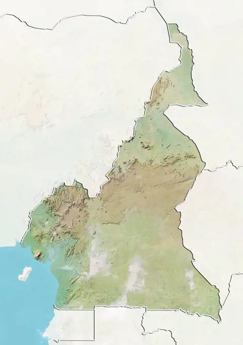
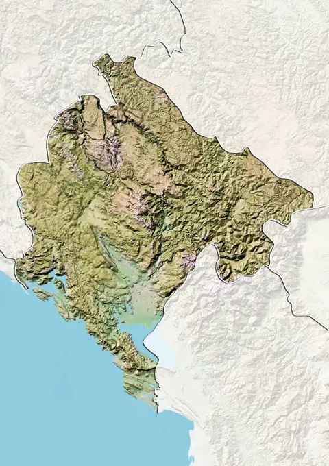
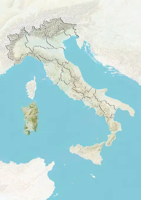
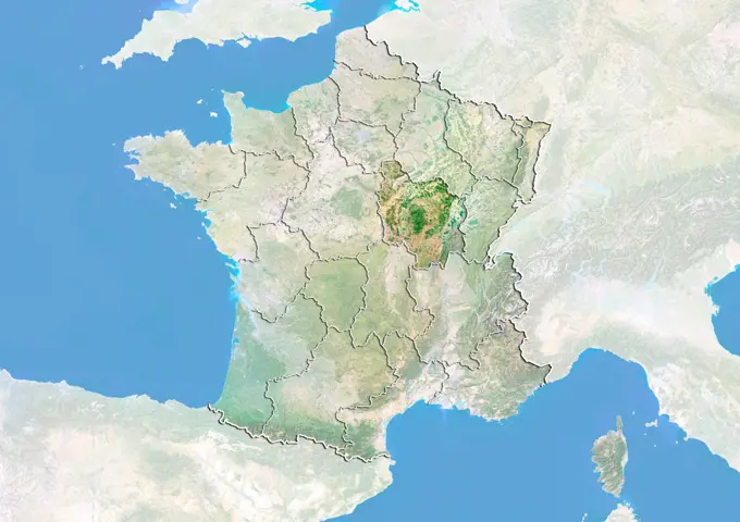
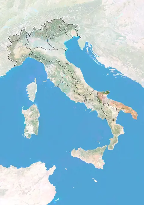
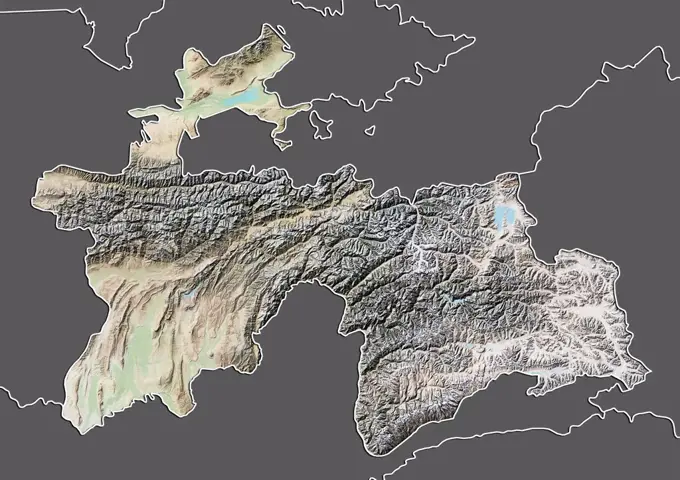
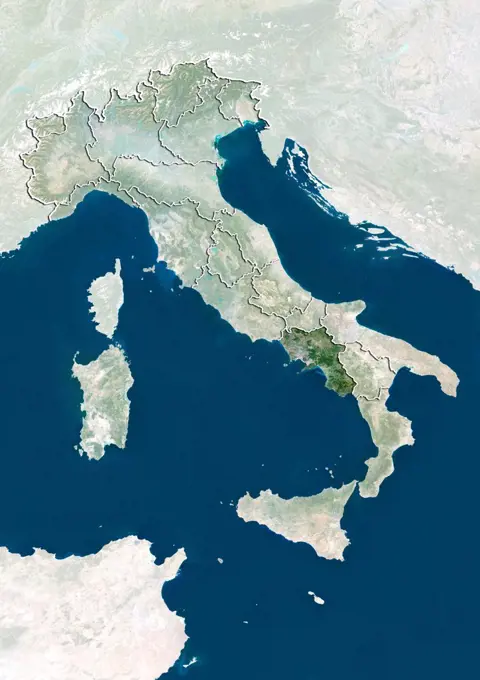
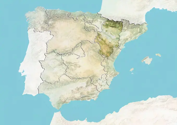
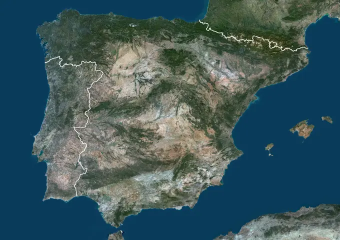
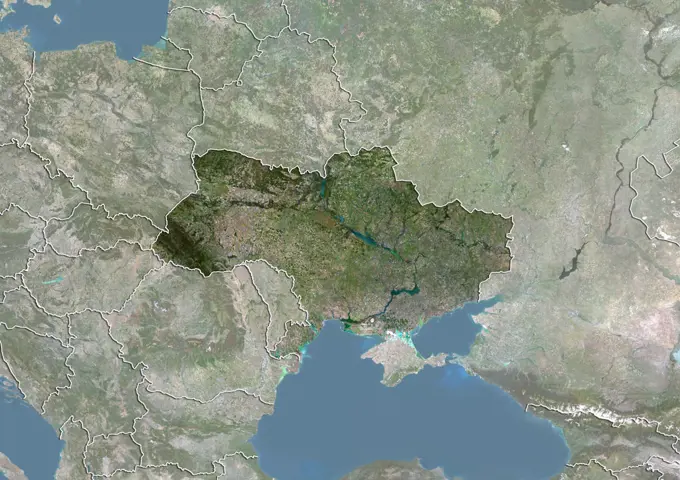
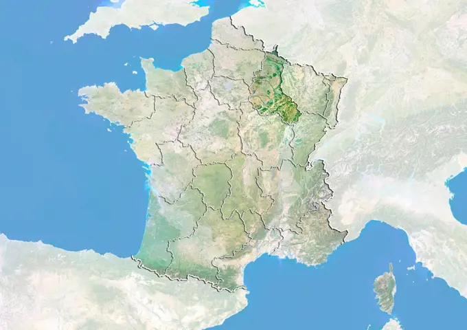
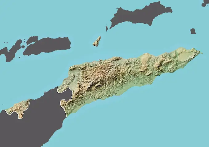
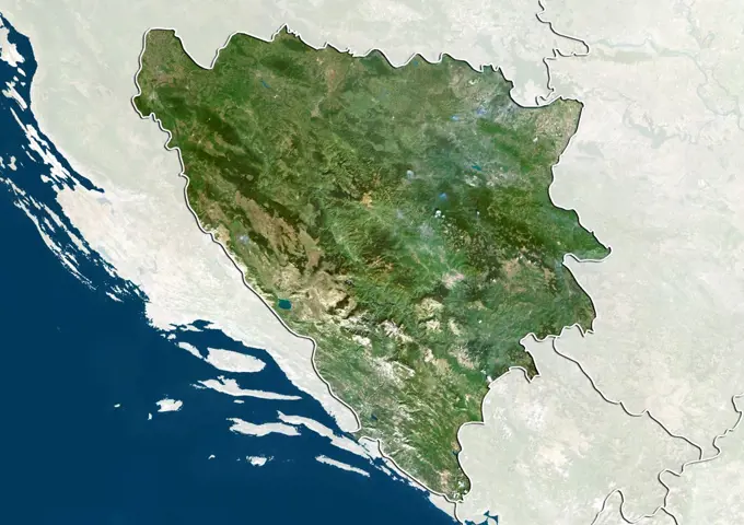
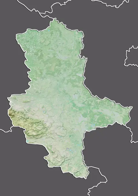
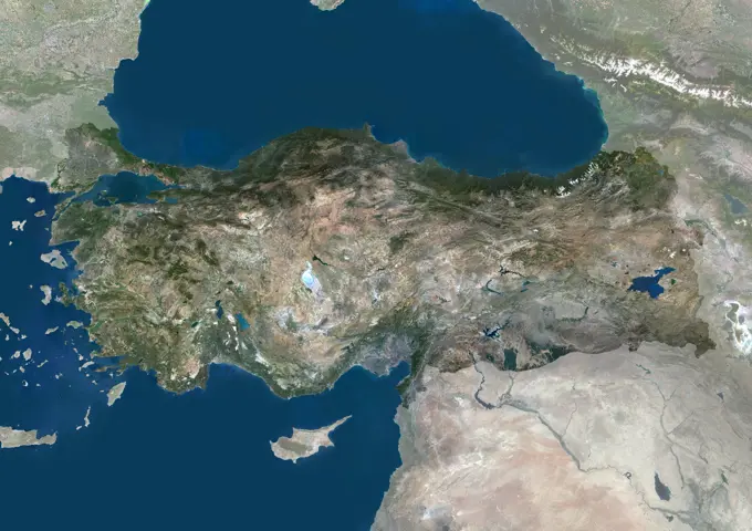
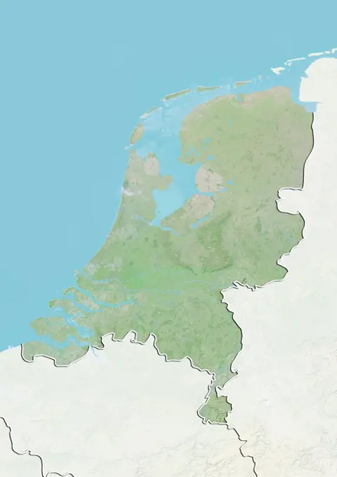
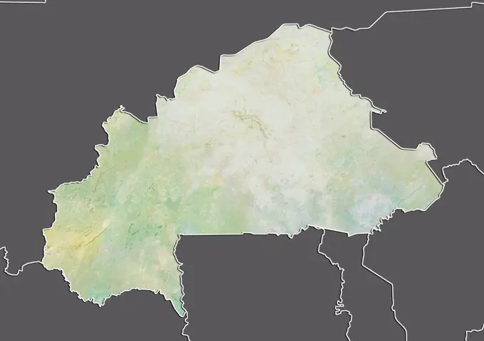
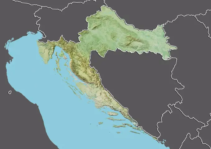
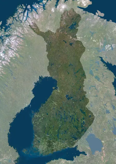
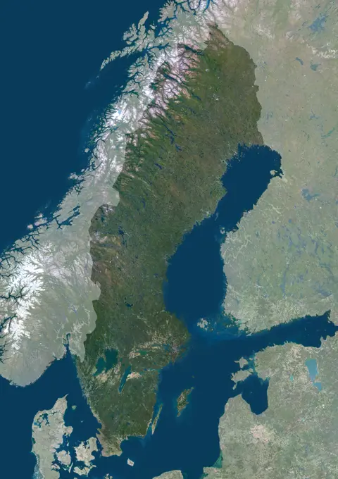
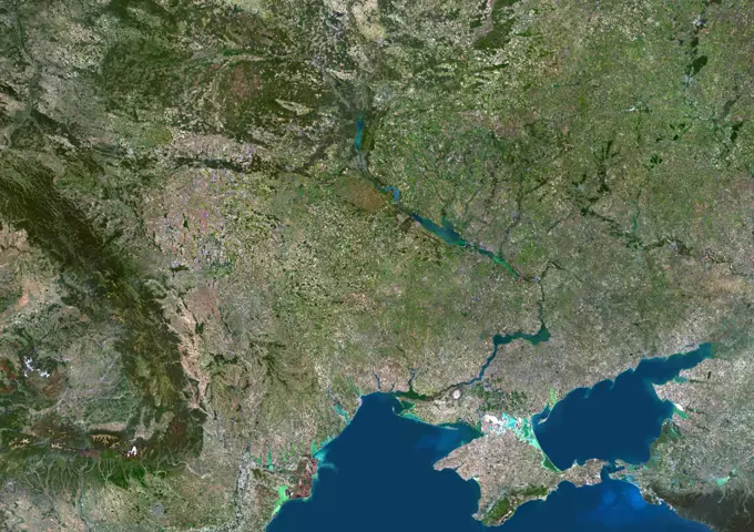
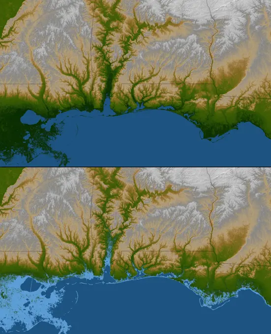
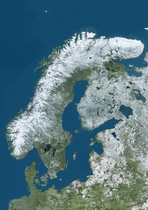
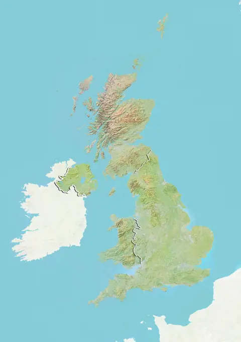
Relief Maps of European Regions

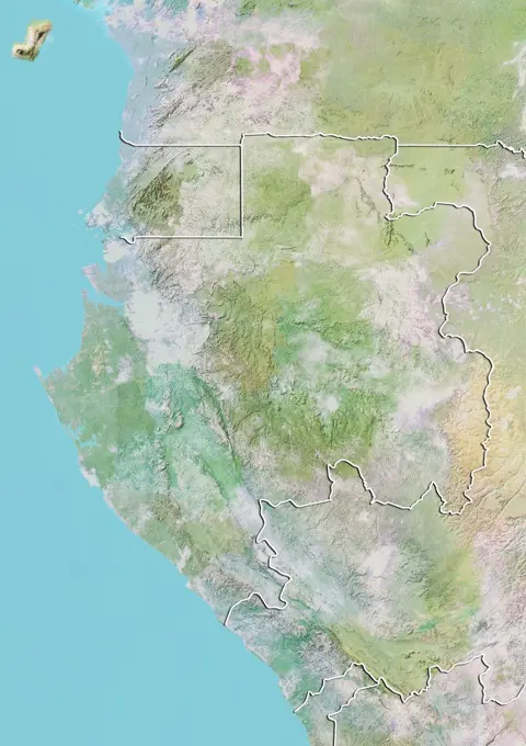
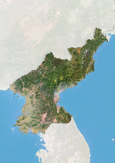
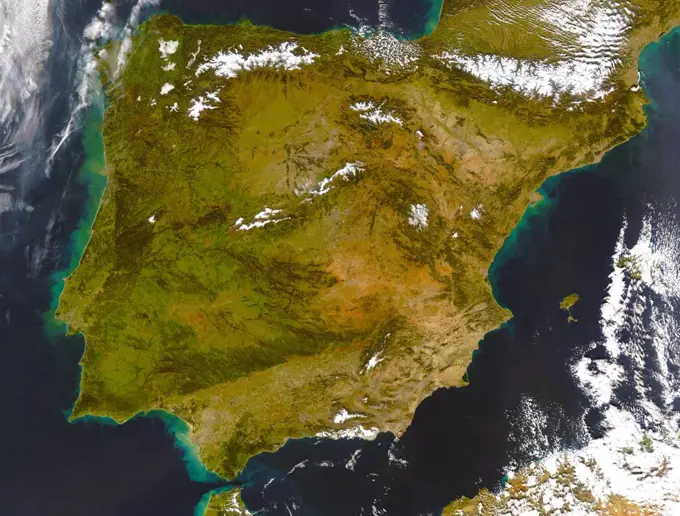
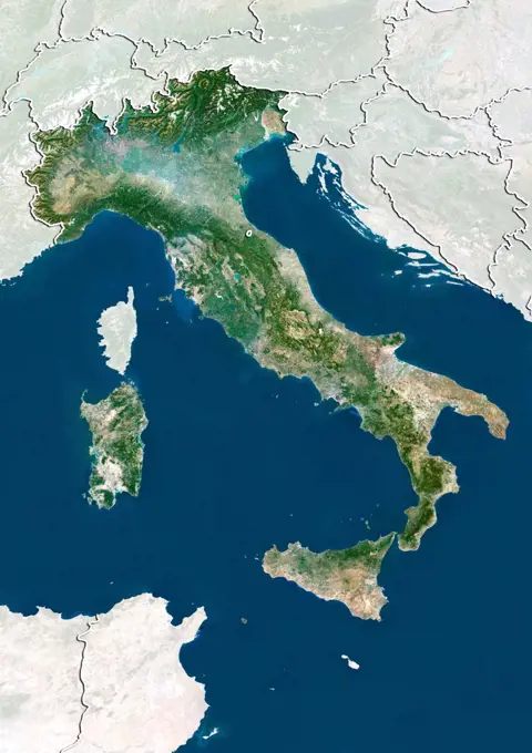
Detailed relief maps of various regions in Europe, highlighting elevation and geographical features compiled from satellite data.

Relief map of Cameroon (with border and mask). This image was compiled from data acquired by landsat 5 & 7 satellites combined with elevation data.
Relief map of Germany showing the State of Saxony. This image was compiled from data acquired by LANDSAT 5 & 7 satellites combined with elevation data.Relief map of Montenegro (with border and mask). This image was compiled from data acquired by landsat 5 & 7 satellites combined with elevation data.Relief map of Italy showing Sardinia. This image was compiled from data acquired by LANDSAT 5 & 7 satellites combined with elevation data.Relief map of Greece (with border and mask). This image was compiled from data acquired by landsat 5 & 7 satellites combined with elevation data.Satellite view of France with bump effect, showing the region of Burgundy. This image was compiled from data acquired by LANDSAT 5 & 7 satellites combined with elevation data.Satellite view of Italy with bump effect, showing the region of Apulia. This image was compiled from data acquired by LANDSAT 5 & 7 satellites combined with elevation data.Relief map of Tajikistan (with border and mask). This image was compiled from data acquired by landsat 5 & 7 satellites combined with elevation data.Relief map of the Dominican Republic (with border and mask). This image was compiled from data acquired by landsat 5 & 7 satellites combined with elevation data.Relief map of Hong Kong, China. This image was compiled from data acquired by LANDSAT 7 satellite combined with elevation data.Satellite view of Italy showing the region of Campania. This image was compiled from data acquired by LANDSAT 5 & 7 satellites.Relief map of Spain showing the region of Aragon. This image was compiled from data acquired by LANDSAT 5 & 7 satellites combined with elevation data.Satellite view of the region of Emilia Romagna, Italy. This image was compiled from data acquired by LANDSAT 5 & 7 satellites.Color satellite image of Spain and Portugal, with borders.Color satellite image of Ukraine and neighbouring countries, including part of Russia, Belarus, Lithuania, Poland, Moldova, Romania, Crimea, Hungary, Slovakia, Bulgaria, Serbia.Satellite view of the region of Campania, Italy. This image was compiled from data acquired by LANDSAT 5 & 7 satellites.Relief map of Montenegro (with border). This image was compiled from data acquired by LANDSAT 5 & 7 satellites combined with elevation data.Satellite view of Italy showing the region of Umbria. This image was compiled from data acquired by LANDSAT 5 & 7 satellites.Relief map of Italy with boundaries of regions. This image was compiled from data acquired by LANDSAT 5 & 7 satellites combined with elevation data.Relief map of the Dominican Republic (with border and mask). This image was compiled from data acquired by landsat 5 & 7 satellites combined with elevation data.25 European Member States, True Colour Satellite Image. Expanded European Union (EU). True colour satellite image of the EU, including the new member states that joined on 1st May 2004. Ten countries joined the EU on this date: Poland, Latvia, Malta, Lithuania, Slovenia, Hungary, Slovakia, Estonia, Czech Republic and (Greek) Cyprus. This took the total number of member states to 25. Notable non-members include Norway (top centre) and Switzerland (just below and left of centre). The image used daSatellite view of France with bump effect, showing the region of Champagne-Ardenne. This image was compiled from data acquired by LANDSAT 5 & 7 satellites combined with elevation data.Satellite view of Bosnia and Herzegovina with Bump Effect (with border and mask). This image was compiled from data acquired by LANDSAT 5 & 7 satellites.Relief map of the region of Beijing, China. This image was compiled from data acquired by LANDSAT 7 satellite combined with elevation data.Color satellite image of Italy and neighbouring countries.Mediterranean Area, True Colour Satellite Image. Mediterranean Sea. True colour satellite images showing the Mediterranean Sea. Points of interest include the Alps (just above centre, white), the Blakek Sea (centre right), and the Nile Delta (green, lower right). This image was compiled from data acquired by LANDSAT 5 & 7 satellites.Relief map of the State of Pernambuco, Brazil. This image was compiled from data acquired by LANDSAT 5 & 7 satellites combined with elevation data.Color satellite image of Ivory Coast, with borders and mask.Relief map of East Timor (with border and mask). This image was compiled from data acquired by landsat 5 & 7 satellites combined with elevation data.Satellite view of Europe in winter, with partial snow cover. This image was compiled from data acquired by Landsat 7 & 8 satellites.Satellite view of Bosnia and Herzegovina (with border and mask). This image was compiled from data acquired by LANDSAT 5 & 7 satellites.Relief map of the State of Madhya Pradesh, India. This image was compiled from data acquired by LANDSAT 5 & 7 satellites combined with elevation data.Relief map of the State of Saxony-Anhalt, Germany. This image was compiled from data acquired by LANDSAT 5 & 7 satellites combined with elevation data.Color satellite image of Turkey, with mask.Color satellite image of Russia, with mask.Relief map of The Dominican Republic and Haiti (with border). This image was compiled from data acquired by LANDSAT 5 & 7 satellites combined with elevation data.Relief map of Netherlands (with border and mask). This image was compiled from data acquired by landsat 5 & 7 satellites combined with elevation data.Relief map of Kosovo (with border and mask). This image was compiled from data acquired by landsat 5 & 7 satellites combined with elevation data.Relief map of Burkina Faso (with border and mask). This image was compiled from data acquired by landsat 5 & 7 satellites combined with elevation data.Color satellite image of Finland and neighbouring countries, with borders.Relief map of Croatia (with border and mask). This image was compiled from data acquired by landsat 5 & 7 satellites combined with elevation data.Color satellite image of Finland, with mask.Relief map of the State of Hesse, Germany. This image was compiled from data acquired by LANDSAT 5 & 7 satellites combined with elevation data.Relief map of Gabon (with border). This image was compiled from data acquired by LANDSAT 5 & 7 satellites combined with elevation data.Satellite view of North Korea with Bump Effect (with border and mask). This image was compiled from data acquired by LANDSAT 5 & 7 satellites.The Isthmus of Corinth has played a very important role in the history of Greece. It is the only land bridge between the country's north (Attica) and south (Peloponnese). This image was acquired by NASA's Terra spacecraft.Color satellite image of Norway and neighbouring countries.Relief map of Italy showing the region of Basilicata. This image was compiled from data acquired by LANDSAT 5 & 7 satellites combined with elevation data.Color satellite image of Latvia and neighbouring countries.Iberian Peninsula (satellite image) showing Spain and Portugal.Relief map of Burkina Faso (with border and mask). This image was compiled from data acquired by landsat 5 & 7 satellites combined with elevation data.Color satellite image of Latvia and neighbouring countries, with borders.Satellite view of Italy (with border and mask). This image was compiled from data acquired by LANDSAT 5 & 7 satellites.Relief map of Italy showing the region of Calabria. This image was compiled from data acquired by LANDSAT 5 & 7 satellites combined with elevation data.Satellite view of the State of South Australia, Australia. This image was compiled from data acquired by LANDSAT 5 & 7 satellites.Relief map of Norway (with border and mask). This image was compiled from data acquired by landsat 5 & 7 satellites combined with elevation data.Relief map of Haiti (with border and mask). This image was compiled from data acquired by landsat 5 & 7 satellites combined with elevation data.Color satellite image of Sweden, with mask.Greece, Europe, True Colour Satellite Image With Border And Mask. Satellite view of Greece (with border and mask). This image was compiled from data acquired by LANDSAT 5 & 7 satellites.Ireland And Northern Ireland, True Colour Satellite Image With Border. Ireland and Northern Ireland. True-colour satellite image of Ireland and Northern Ireland, with border. North is at top. Dublin, the capital of the Republic of Ireland is half way along Ireland's east coast. Belfast, the capital city of Northern Ireland is at top left. Image taken by the LANDSAT 5 satellite.Relief map of Luxembourg (with border and mask). This image was compiled from data acquired by landsat 5 & 7 satellites combined with elevation data.Relief map of Costa Rica (with border). This image was compiled from data acquired by LANDSAT 5 & 7 satellites combined with elevation data.Relief map of Netherlands (with border and mask). This image was compiled from data acquired by landsat 5 & 7 satellites combined with elevation data.Relief map of the State of Vermont, United States. This image was compiled from data acquired by LANDSAT 5 & 7 satellites combined with elevation data.Norway, Europe, True Colour Satellite Image With Border. Satellite view of Norway (with border). This image was compiled from data acquired by LANDSAT 5 & 7 satellites.Color satellite image of Ukraine and neighbouring countries, including Moldova and Crimea.The Isle of Jersey (officially called the Bailiwick of Jersey) is the largest Channel Island, positioned in the Bay of Mont St Michel off the north-west coast of France. This image was acquired by NASA's Terra satellite on September 23, 2000.Satellite view of the region of Lazio, Italy. This image was compiled from data acquired by LANDSAT 5 & 7 satellites.The topography of the Gulf Coast states is well shown in this color-coded shaded relief map generated with data from NASA's Shuttle Radar Topography Mission.Satellite view of the land mass of Turkey and the Black Sea.Satellite view of Northern Europe showing Scandinavia and the Baltic States in winter, with partial snow cover. This image was compiled from data acquired by Landsat 7 & 8 satellites.Satellite view of Puerto Rico with Bump Effect. This image was compiled from data acquired by LANDSAT 5 & 7 satellites.Los Angeles, California, Usa, True Colour Satellite Image. Los Angeles, California, USA. True colour satellite image of the city of Los Angeles. Composite of 2 images taken on 24 April & 1 May 2000, using LANDSAT 7 data.Relief map of Indonesia (with border and mask). This image was compiled from data acquired by landsat 5 & 7 satellites combined with elevation data.Map of gradual formation of land, vintage engraved illustration. Earth before man  1886.World Map of ARABIAN PENINSULA: The Middle East, Arab World, Saudi Arabia, Iraq, Syria, Mesopotamia, Persia, The Emirates, Persian Gulf, Red Sea, Indian Ocean. Geographic chart with sea coastline.Satellite view of England, United Kingdom. This image was compiled from data acquired by LANDSAT 5 & 7 satellites.Karte von Russland mit Anzeiger für Vulkan - Map of Russia with volcano locator Karte von Russland mit Anzeiger für Vulkan - Map of Russia with volcano locator Copyright: xZoonar.com/lantapixx 14295833Relief map of Chad (with border and mask). This image was compiled from data acquired by landsat 5 & 7 satellites combined with elevation data.Map of gradual formation of land, vintage engraved illustration. Earth before man  1886.Geological map of Europe, vintage engraved illustration. Earth before man  1886.Karte von Mexiko mit Vulkan - Map of Mexico with volcano Karte von Mexiko mit Vulkan - Map of Mexico with volcano Copyright: xZoonar.com/lantapixx 14295858Relief map of the United Kingdom with country boundaries. This image was compiled from data acquired by LANDSAT 5 & 7 satellites combined with elevation data.Locations of nuclear power plants in Germany in 2011, Source: Federal Environmental Office 2011, location -precise representation of energy generation in Germany in 2011 according to the legend presentation locations of nuclear power plants in Germany in 2011, Source: Federal Environmental Agency 2011, location -specific presentation of energy generation in Germany in 2011 according to the Copyright presentation: xzoonar.com/visdiax 2560837Satellite view of Scotland including Shetland, United Kingdom. This image was compiled from data acquired by LANDSAT 5 & 7 satellites.The earth after Homer, vintage engraved illustration. From the Universe and Humanity, 1910.Map of Belarus with roads and major cities. Map of cities in BelarusSatellite view of the United Kingdom with country boundaries. This image was compiled from data acquired by LANDSAT 5 & 7 satellites.Map of Mexico with volcano locatorUkrainian map with radiation dosimeter, 3D rendering Ukrainian map with radiation dosimeter, 3D rendering Copyright: xZoonar.com/alexlmxx 22995095