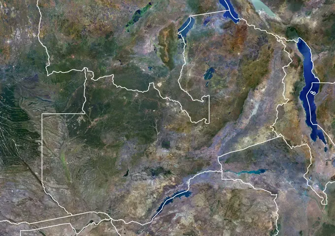
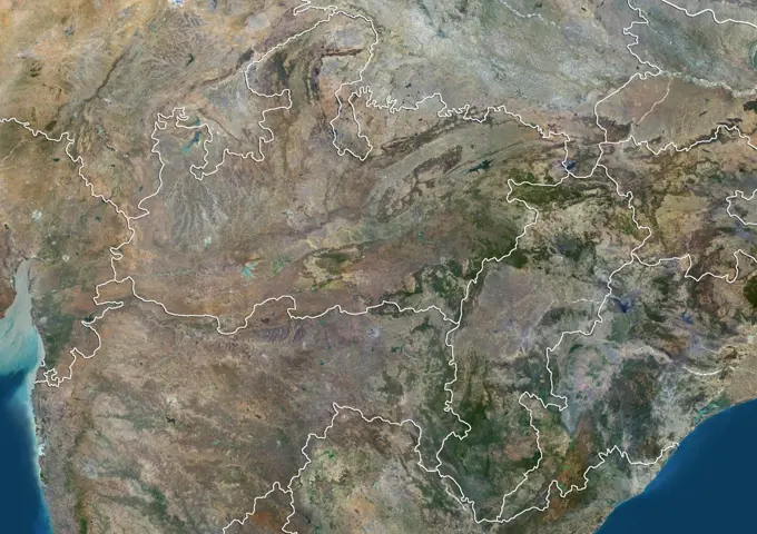
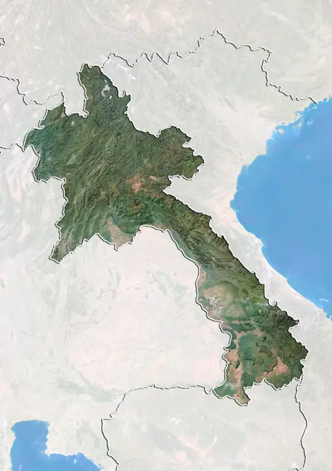
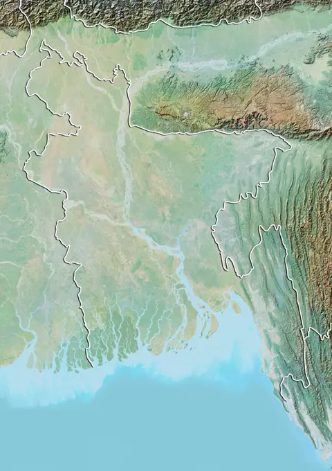
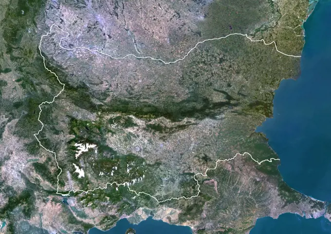
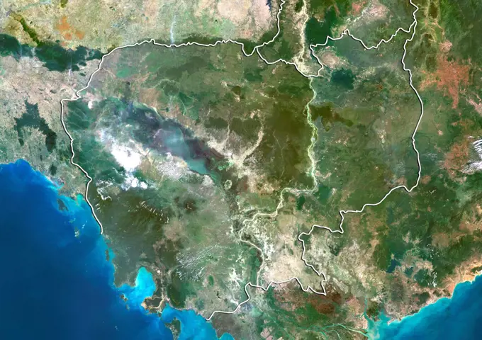
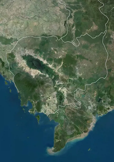
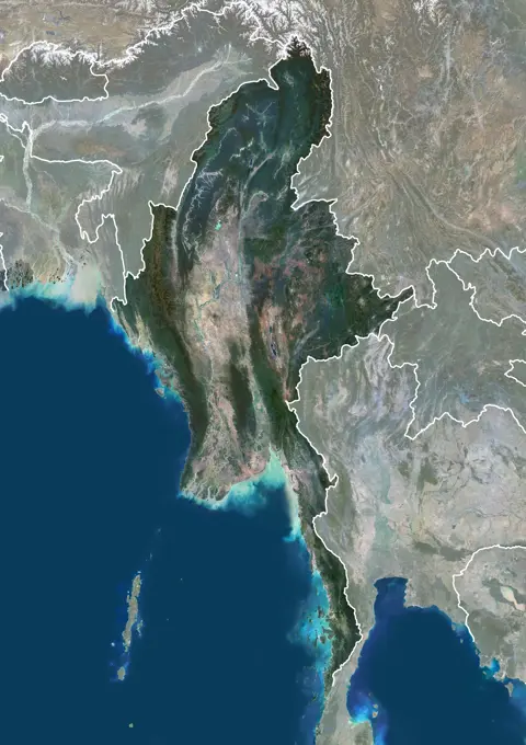
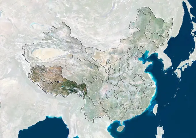
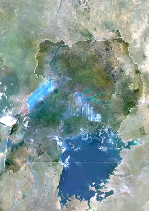
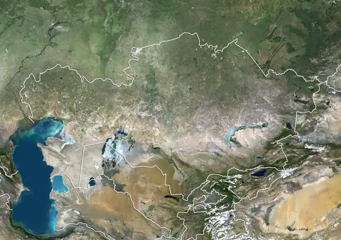
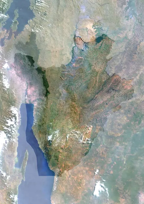
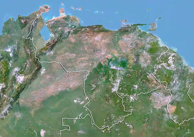
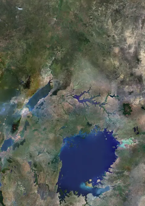
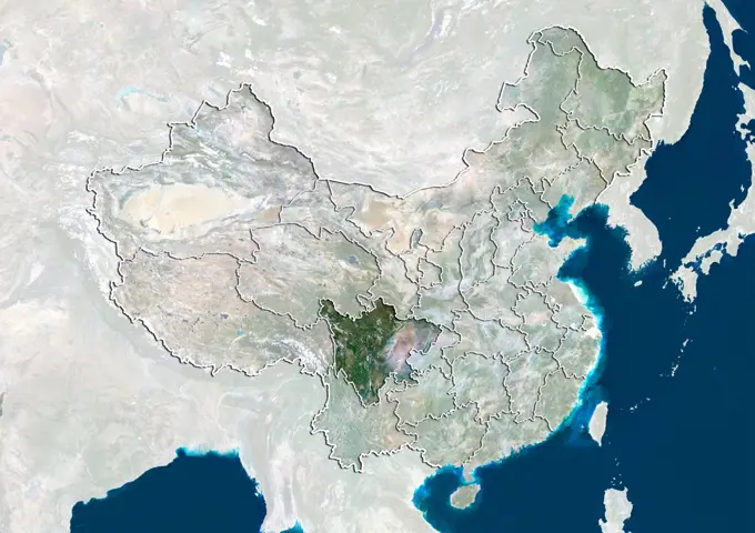
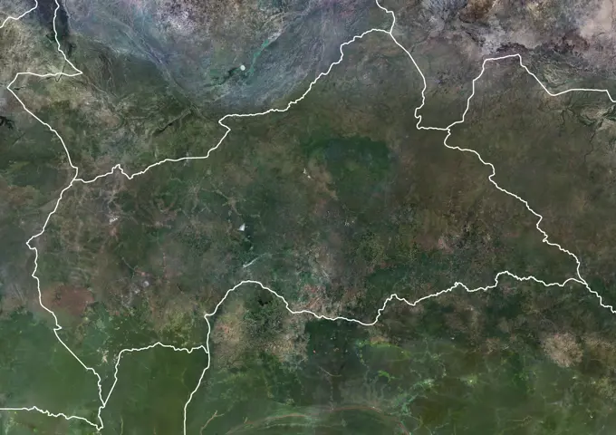
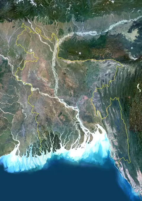
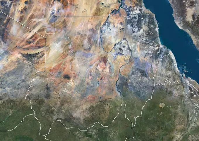
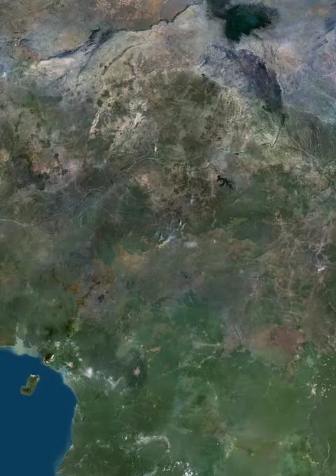
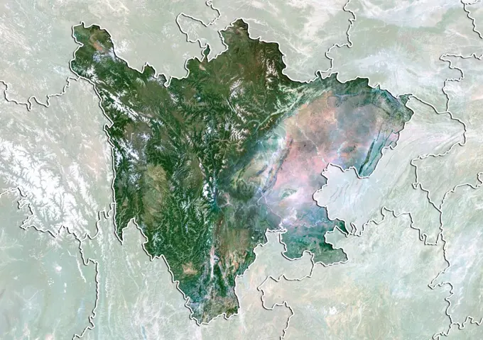
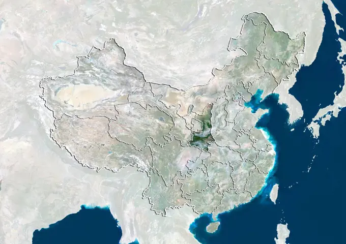
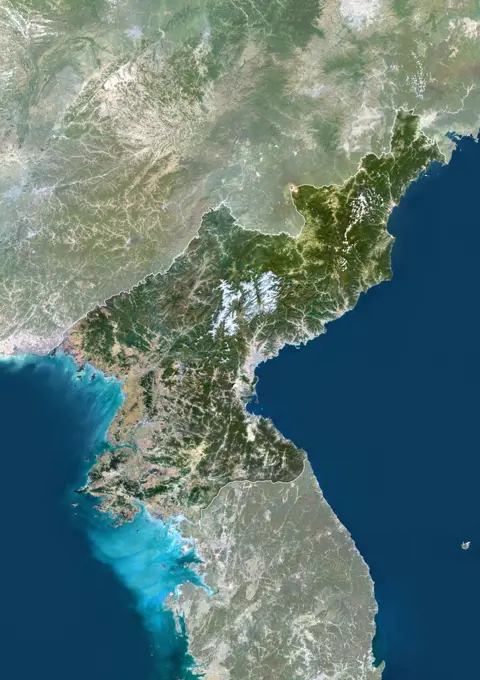
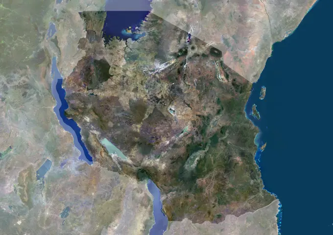
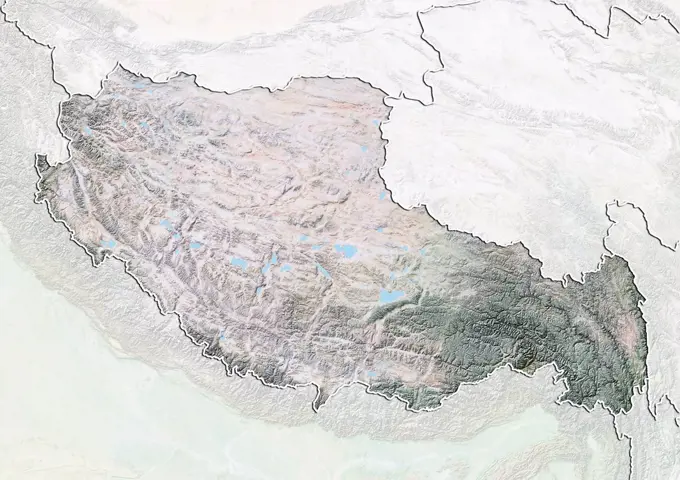
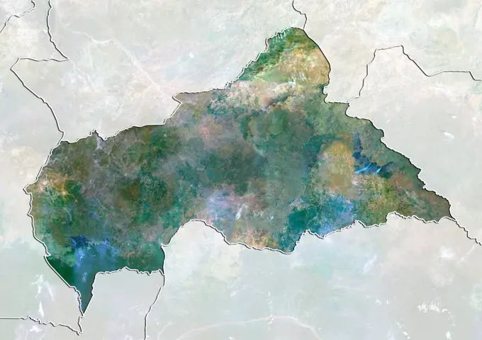
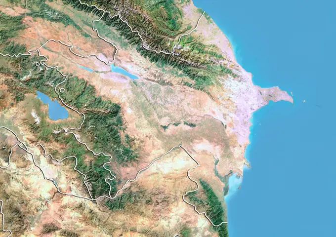
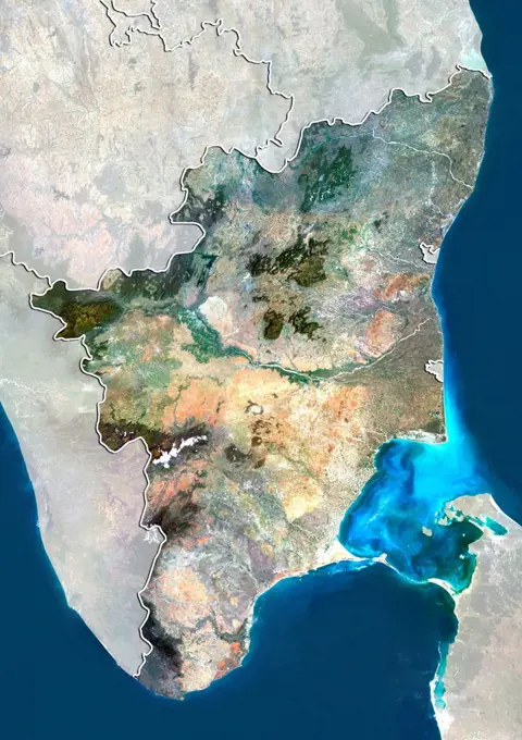
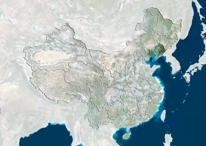
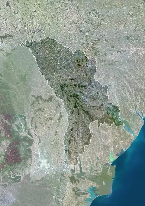
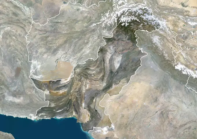
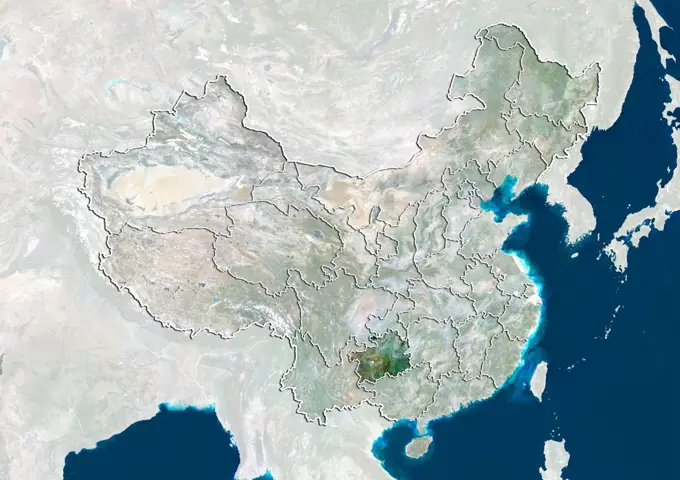
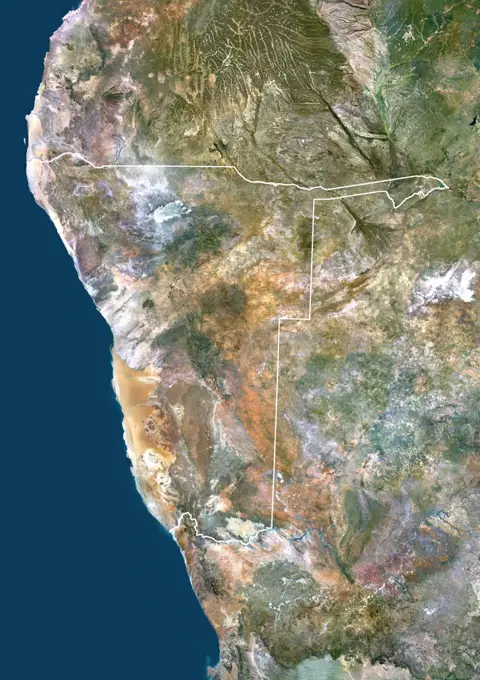
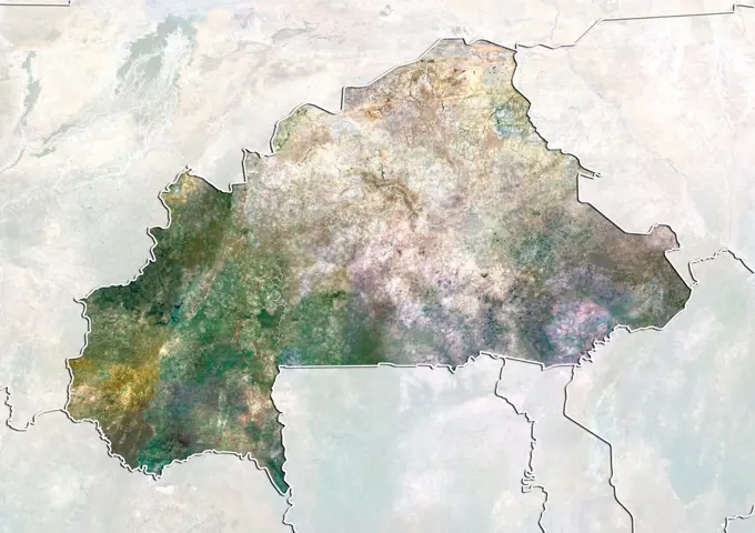
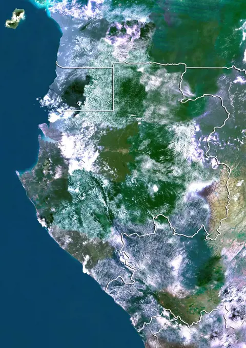
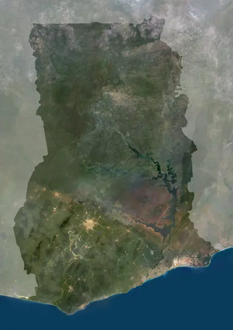
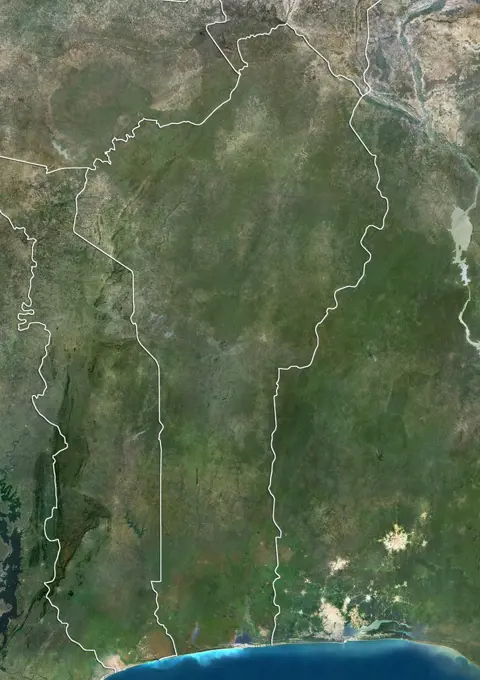
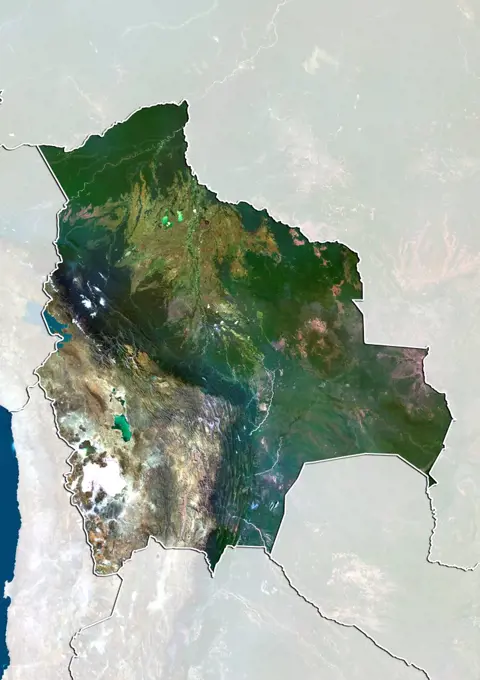
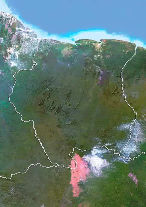
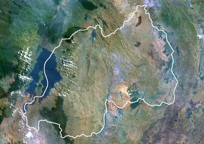
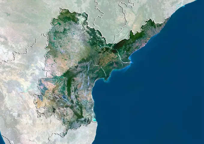
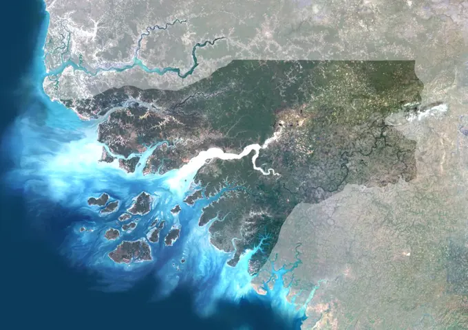
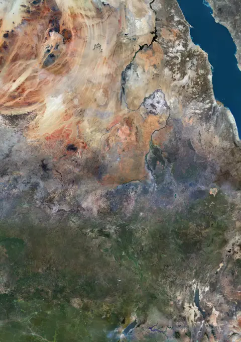
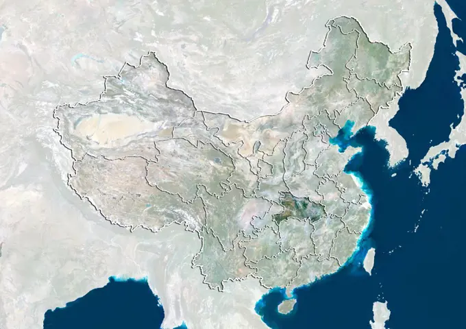
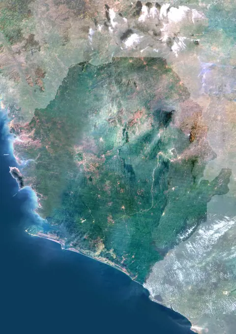
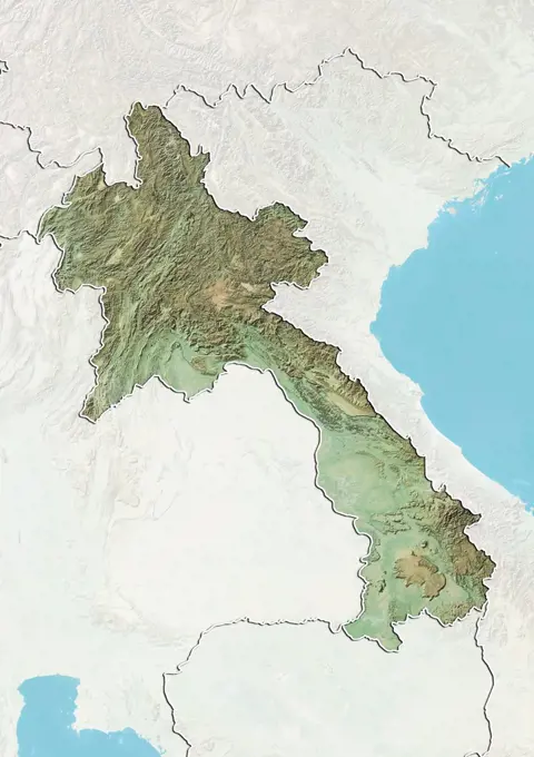
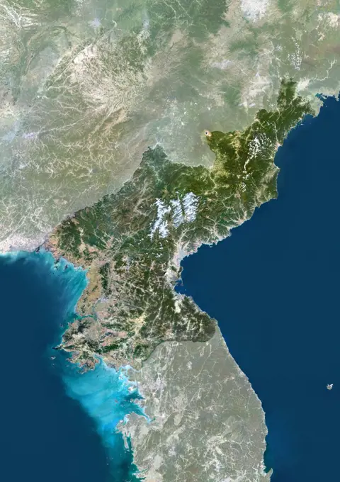
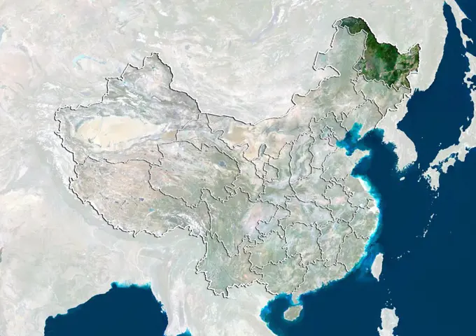
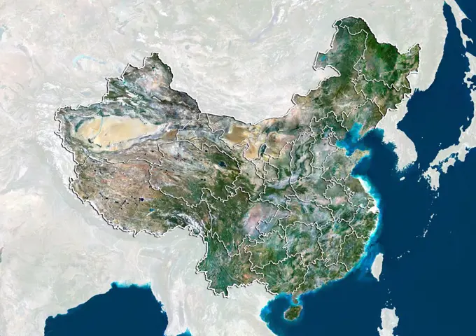
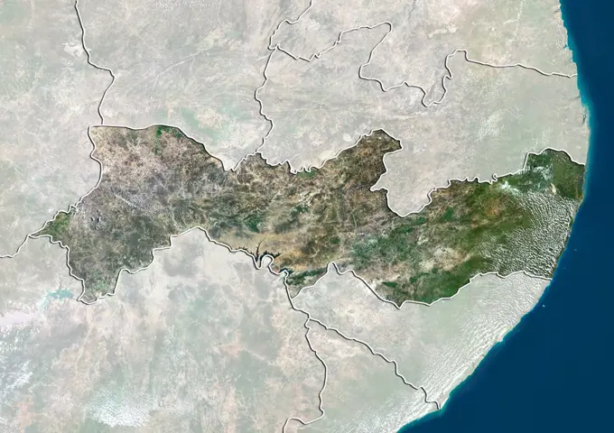
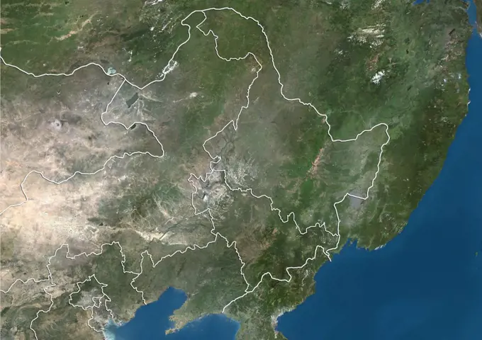
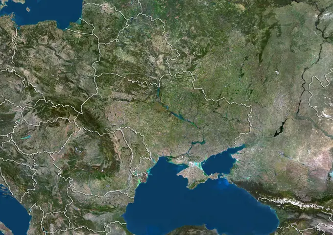
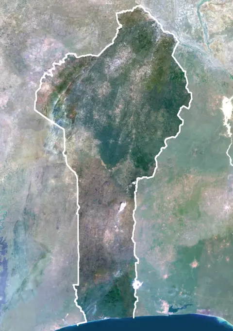
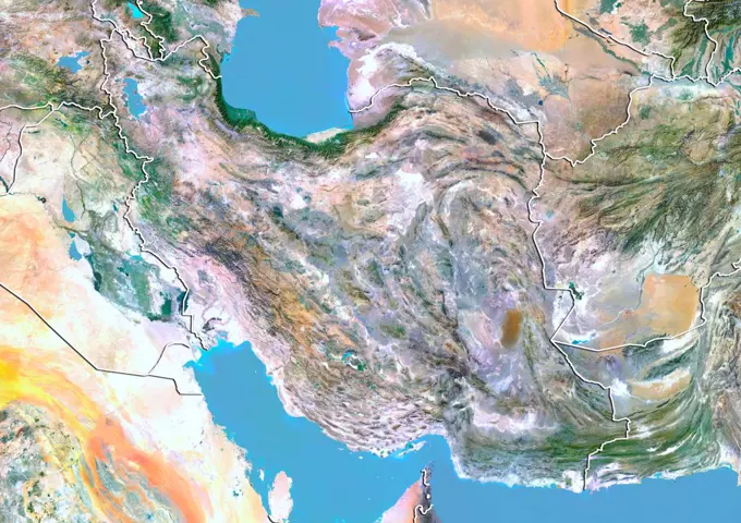
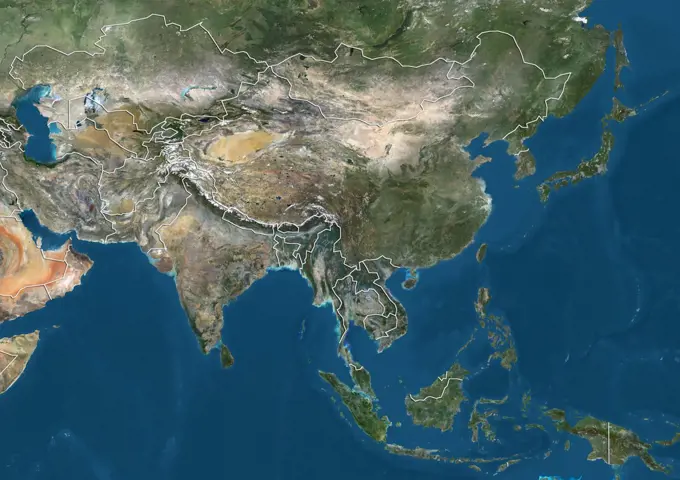
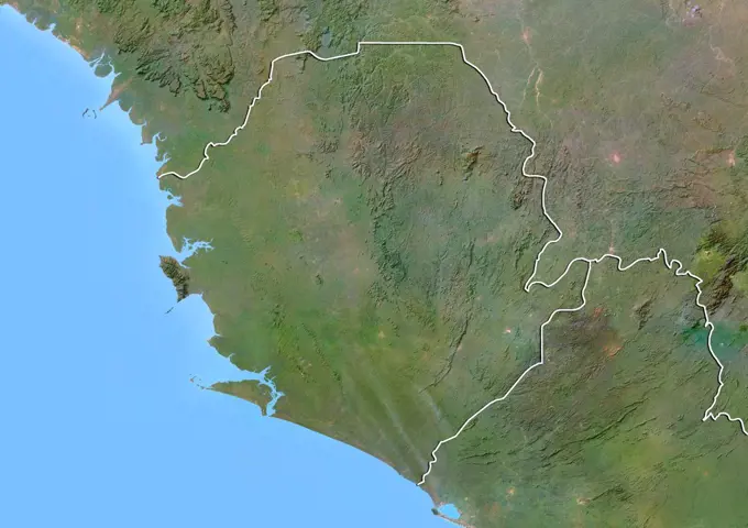
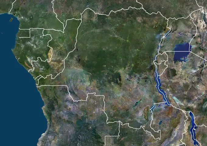
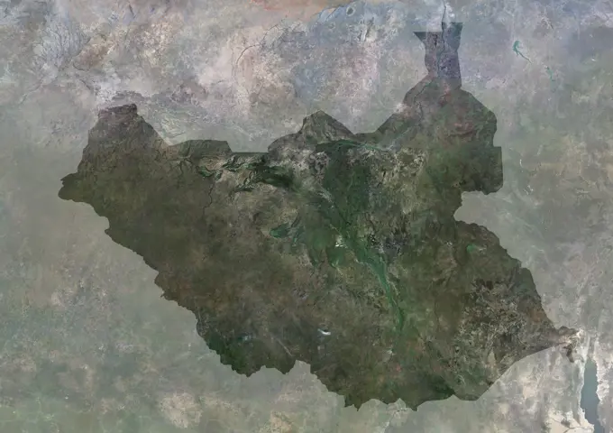
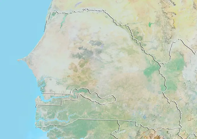
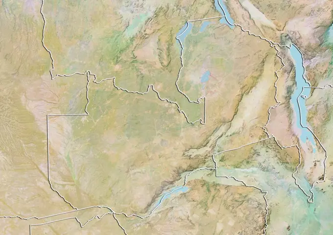
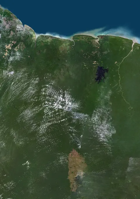
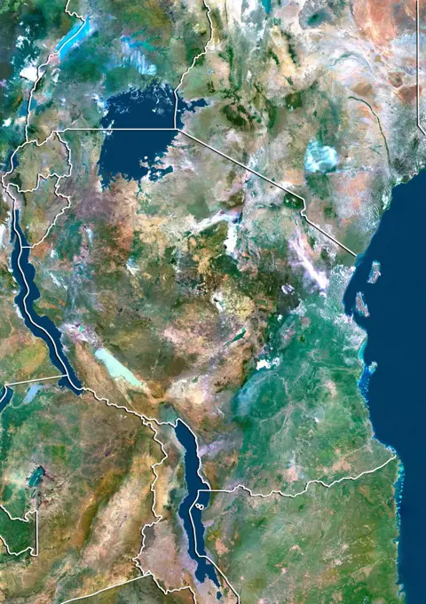
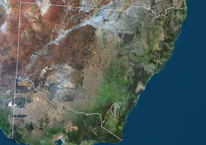
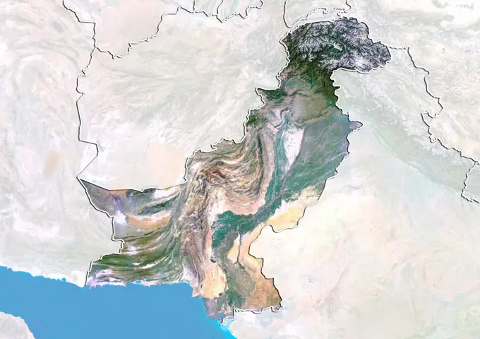
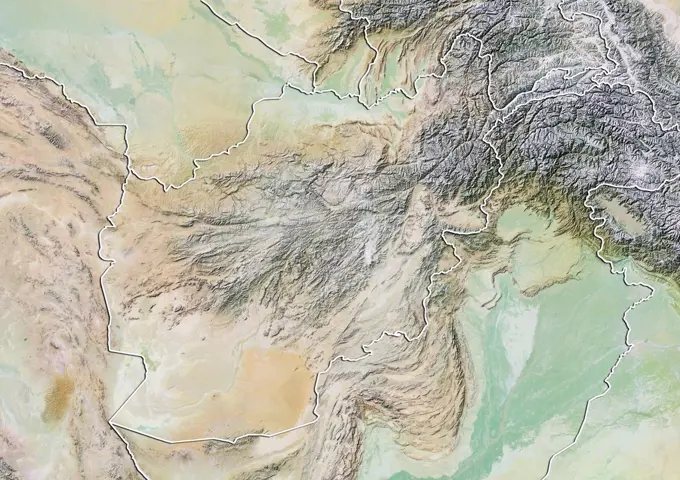
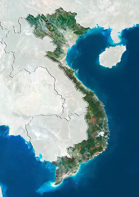
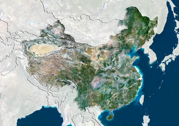
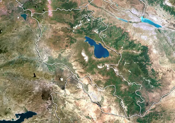
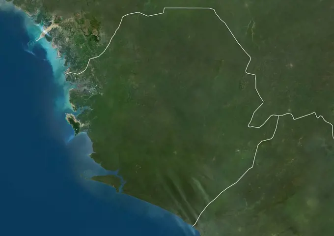
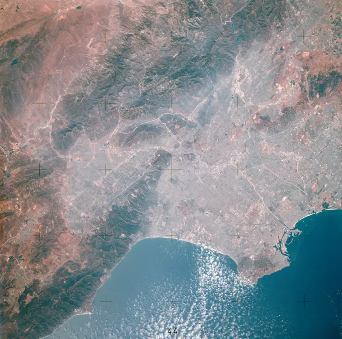
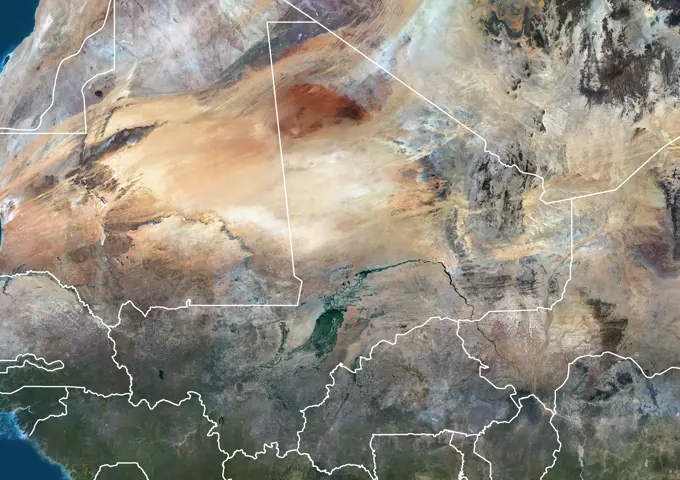
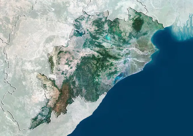
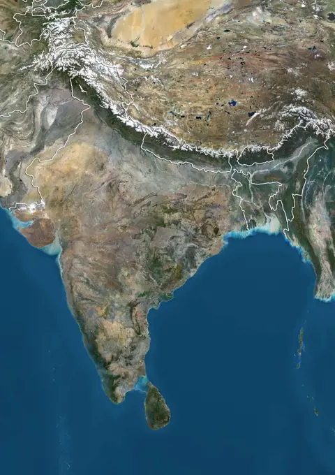
My Boards
View Pictures
  • My Boards

Satellite Imagery of Asia

Aerial views and satellite images of regions in Asia, displaying geographical features of India, Laos, Maharashtra, and Bangladesh, with emphasis on elevation and borders.

Color satellite image of Zambia and neighbouring countries.
168 assets in this story
1899-21289603
Satellite view of Central India (with administrative boundaries). It covers the Indian states of Madhya Pradesh and Chhattisgarh. This image was compiled from data acquired by Landsat 8 satellite in 2014.
1899-79992
Satellite view of Laos with Bump Effect (with border and mask). This image was compiled from data acquired by LANDSAT 5 & 7 satellites.
1899-82003
Satellite view of the State of Maharashtra, India. This image was compiled from data acquired by LANDSAT 5 & 7 satellites.
1899-79618
Relief map of Bangladesh (with border). This image was compiled from data acquired by LANDSAT 5 & 7 satellites combined with elevation data.
1899-35039
Bulgaria, Europe, True Colour Satellite Image With Border. Satellite view of Bulgaria (with border). This image was compiled from data acquired by LANDSAT 5 & 7 satellites.
1899-79692
Satellite view of Cambodia (with border). This image was compiled from data acquired by LANDSAT 5 & 7 satellites.
1899-21289590
Satellite view of Cambodia (with country boundaries). This image was compiled from data acquired by Landsat satellites.
1899-53518080
Color satellite image of Myanmar, with borders and mask.
1899-53517996
Color satellite image of Laos and neighbouring countries, with borders.
1899-53518311
Color satellite image of Zambia and neighbouring countries.
1899-79994
Satellite view of Laos (with border and mask). This image was compiled from data acquired by LANDSAT 5 & 7 satellites.
1899-53518274
Color satellite image of Uganda, with mask.
1899-80673
Satellite view of China showing the region of Tibet. This image was compiled from data acquired by LANDSAT 5 & 7 satellites.
1899-35283
Uganda, Africa, True Colour Satellite Image With Border And Mask. Satellite view of Uganda (with border and mask). This image was compiled from data acquired by LANDSAT 5 & 7 satellites.
1899-21289755
Satellite view of Kazakhstan (with country boundaries). This image was compiled from data acquired by Landsat 8 satellite in 2014.
1899-35336
Burundi, Africa, True Colour Satellite Image With Mask. Satellite view of Burundi (with mask). This image was compiled from data acquired by LANDSAT 5 & 7 satellites.
1899-80635
Satellite view of China showing the autonomous region of Guangxi Zhuang. This image was compiled from data acquired by LANDSAT 5 & 7 satellites.
1899-53518121
Color satellite image of Pakistan, Afghanistan and neighbouring countries.
1899-35194
Thailand, Asia, True Colour Satellite Image With Border. Satellite view of Thailand (with border). This image was compiled from data acquired by LANDSAT 5 & 7 satellites.
1899-35263
Tanzania, Africa, True Colour Satellite Image With Border And Mask. Satellite view of Tanzania (with border and mask). This image was compiled from data acquired by LANDSAT 5 & 7 satellites.
1899-80380
Satellite view of Venezuela with Bump Effect (with border). This image was compiled from data acquired by LANDSAT 5 & 7 satellites.
1899-53518271
Color satellite image of Uganda and neighbouring countries.
1899-80671
Satellite view of China showing the province of Sichuan. This image was compiled from data acquired by LANDSAT 5 & 7 satellites.
1899-53517777
Color satellite image of Central African Republic and neighbouring countries.
1899-35130
Bangladesh, Asia, True Colour Satellite Image With Border. Satellite view of Bangladesh (with border). This image was compiled from data acquired by LANDSAT 5 & 7 satellites.
1899-21289952
Satellite view of Sudan (with country boundaries). This image was compiled from data acquired by Landsat 8 satellite in 2014.
1899-53517979
Color satellite image of Kenya and neighbouring countries.
1899-80629
Satellite view of China showing the province of Fujian. This image was compiled from data acquired by LANDSAT 5 & 7 satellites.
1899-35248
Nigeria, Africa, True Colour Satellite Image With Border. Satellite view of Nigeria (with border). This image was compiled from data acquired by LANDSAT 5 & 7 satellites.
1899-80645
Satellite view of China showing the province of Henan. This image was compiled from data acquired by LANDSAT 5 & 7 satellites.
1899-53517767
Color satellite image of Cameroon and neighbouring countries.
1899-81855
Satellite view of the province of Sichuan, China. This image was compiled from data acquired by LANDSAT 5 & 7 satellites.
6145-44966859
Earth observation taken during a day pass by an Expedition 36 crew member on board the International Space Station (ISS).
1899-80665
Satellite view of China showing the province of Shaanxi. This image was compiled from data acquired by LANDSAT 5 & 7 satellites.
1899-35142
North Korea, Asia, True Colour Satellite Image With Border And Mask. Satellite view of North Korea (with border and mask). This image was compiled from data acquired by LANDSAT 5 & 7 satellites.
1899-53518249
Color satellite image of Tanzania, with mask.
1899-81858
Relief map of Tibet, China. This image was compiled from data acquired by LANDSAT 5 & 7 satellites combined with elevation data.
1899-35221
Ghana, Africa, True Colour Satellite Image With Border And Mask. Satellite view of Ghana (with border and mask). This image was compiled from data acquired by LANDSAT 5 & 7 satellites.
1899-79707
Satellite view of Central African Republic (with border and mask). This image was compiled from data acquired by LANDSAT 5 & 7 satellites.
1899-80093
Relief map of Myanmar (with border). This image was compiled from data acquired by LANDSAT 5 & 7 satellites combined with elevation data.
1899-79609
Satellite view of Azerbaijan with Bump Effect (with border). This image was compiled from data acquired by LANDSAT 5 & 7 satellites.
1899-82022
Satellite view of the State of Tamil Nadu, India. This image was compiled from data acquired by LANDSAT 5 & 7 satellites.
1899-80659
Satellite view of China showing the province of Liaoning. This image was compiled from data acquired by LANDSAT 5 & 7 satellites.
1899-35087
Moldova , Europe, True Colour Satellite Image With Border And Mask. Satellite view of Moldova (with border and mask). This image was compiled from data acquired by LANDSAT 5 & 7 satellites.
1899-53518123
Color satellite image of Pakistan, with borders and mask
1899-80637
Satellite view of China showing the province of Guizhou. This image was compiled from data acquired by LANDSAT 5 & 7 satellites.
1899-35246
Namibia, Africa, True Colour Satellite Image With Border. Satellite view of Namibia (with border and mask). This image was compiled from data acquired by LANDSAT 5 & 7 satellites.
1899-79679
Satellite view of Burkina Faso (with border and mask). This image was compiled from data acquired by LANDSAT 5 & 7 satellites.
1899-79844
Satellite view of Gabon (with border). This image was compiled from data acquired by LANDSAT 5 & 7 satellites.
1899-80669
Satellite view of China showing the province of Shanxi. This image was compiled from data acquired by LANDSAT 5 & 7 satellites.
1899-53517896
Color satellite image of Ghana and neighbouring countries.
1899-21289563
Satellite view of Benin (with country boundaries). This image was compiled from data acquired by Landsat satellites.
1899-79649
Satellite view of Bolivia (with border and mask). This image was compiled from data acquired by LANDSAT 5 & 7 satellites.
1899-80282
Satellite view of Suriname with Bump Effect (with border). This image was compiled from data acquired by LANDSAT 5 & 7 satellites.
1899-35228
Rwanda, Africa, True Colour Satellite Image With Border. Satellite view of Rwanda (with border and mask). This image was compiled from data acquired by LANDSAT 5 & 7 satellites.
1899-81975
Satellite view of the State of Andhra Pradesh, India. This image was compiled from data acquired by LANDSAT 5 & 7 satellites.
1899-35347
Guinea Bissau, Africa, True Colour Satellite Image With Mask. Satellite view of Guinea Bissau (with mask). This image was compiled from data acquired by LANDSAT 5 & 7 satellites.
1899-53518221
Color satellite image of Sudan, South Sudan and neighbouring countries.
1899-53517982
Color satellite image of Kenya, with mask.
1899-80647
Satellite view of China showing the province of Hubei. This image was compiled from data acquired by LANDSAT 5 & 7 satellites.
1899-35365
Sierra Leone, Africa, True Colour Satellite Image With Mask. Satellite view of Sierra Leone (with mask). This image was compiled from data acquired by LANDSAT 5 & 7 satellites.
1899-79990
Relief map of Laos (with border and mask). This image was compiled from data acquired by landsat 5 & 7 satellites combined with elevation data.
1899-35403
North Korea, Asia, True Colour Satellite Image With Mask. Satellite view of North Korea (with mask). This image was compiled from data acquired by LANDSAT 5 & 7 satellites.
1899-80643
Satellite view of China showing the province of Heilongjiang. This image was compiled from data acquired by LANDSAT 5 & 7 satellites.
1899-80682
Satellite view of China with boundaries of provinces. This image was compiled from data acquired by LANDSAT 5 & 7 satellites.
1899-79885
Satellite view of Guinea-Bissau (with border). This image was compiled from data acquired by LANDSAT 5 & 7 satellites.
1899-81743
Satellite view of the State of Pernambuco, Brazil. This image was compiled from data acquired by LANDSAT 5 & 7 satellites.
1899-21289838
Satellite view of Northeast China (with country boundaries). This image was compiled from data acquired by Landsat satellites.
1899-19190666
Color satellite image of Ukraine and neighbouring countries, including part of Russia, Belarus, Lithuania, Poland, Moldova, Romania, Crimea, Hungary, Slovakia, Bulgaria, Serbia.
1899-35158
Benin, Africa, True Colour Satellite Image With Border And Mask. Satellite view of Benin (with border and mask). This image was compiled from data acquired by LANDSAT 5 & 7 satellites.
1899-80639
Satellite view of China showing the province of Hainan. This image was compiled from data acquired by LANDSAT 5 & 7 satellites.
1899-79921
Satellite view of Iran with Bump Effect (with border). This image was compiled from data acquired by LANDSAT 5 & 7 satellites.
1899-53517878
Color satellite image of Gabon, with borders and mask.
1899-21289533
Satellite view of Asia (with country boundaries). This image was compiled from data acquired by Landsat 7 & 8 satellites.
1899-80235
Satellite view of Sierra Leone with Bump Effect (with border). This image was compiled from data acquired by LANDSAT 5 & 7 satellites.
1899-53517813
Color satellite image of Democratic Republic of Congo and neighbouring countries, including  Gabon and the Republic of the Congo.
1899-53518215
Color satellite image of South Sudan, with mask.
1899-80223
Relief map of Senegal and The Gambia (with border). This image was compiled from data acquired by LANDSAT 5 & 7 satellites combined with elevation data.
1899-80398
Relief map of Zambia (with border). This image was compiled from data acquired by LANDSAT 5 & 7 satellites combined with elevation data.
1899-53518225
Color satellite image of Suriname and neighbouring countries.
1899-80317
Satellite view of Tanzania (with border). This image was compiled from data acquired by LANDSAT 5 & 7 satellites.
1899-21289820
Satellite view of New South Wales, Australia (with administrative boundaries). This image was compiled from data acquired by Landsat 8 satellite in 2014.
1899-80144
Satellite view of Pakistan with Bump Effect (with border and mask). This image was compiled from data acquired by LANDSAT 5 & 7 satellites.
1899-79556
Relief map of Afghanistan (with border). This image was compiled from data acquired by LANDSAT 5 & 7 satellites combined with elevation data.
1899-80385
Satellite view of Vietnam (with border and mask). This image was compiled from data acquired by LANDSAT 5 & 7 satellites.
1899-79723
Satellite view of China (with border and mask). This image was compiled from data acquired by LANDSAT 5 & 7 satellites.
1899-53517760
Color satellite image of Burundi and neighbouring countries, with borders. The country is in the Great Rift Valley. Lake Tanganyika lies along its southwestern border.
1899-66812
Relief map of Nigeria (with border and mask). This image was compiled from data acquired by landsat 5 & 7 satellites combined with elevation data.
1899-80098
Satellite view of Namibia (with border and mask). This image was compiled from data acquired by LANDSAT 5 & 7 satellites.
1899-80325
Satellite view of Togo with Bump Effect (with border). This image was compiled from data acquired by LANDSAT 5 & 7 satellites.
1899-35240
Kenya, Africa, True Colour Satellite Image With Border. Satellite view of Kenya (with border). This image was compiled from data acquired by LANDSAT 5 & 7 satellites.
1899-80284
Satellite view of Suriname (with border). This image was compiled from data acquired by LANDSAT 5 & 7 satellites.
1899-79597
Satellite view of Armenia (with border). This image was compiled from data acquired by LANDSAT 5 & 7 satellites.
1899-80339
Satellite view of Turkey with Bump Effect (with border and mask). This image was compiled from data acquired by LANDSAT 5 & 7 satellites.
1899-21289926
Satellite view of Sierra Leone (with country boundaries). This image was compiled from data acquired by Landsat satellites.
6145-45240261
AST-14-881 (16 July 1975) --- An excellent view of Los Angeles, California, as photographed from the Apollo spacecraft in Earth orbit during the joint U.S.-USSR Apollo-Soyuz Test Project (ASTP) mission. Downtown Los Angeles is near the center of the picture. The photograph was taken at an altitude of 193 kilometers (120 statute miles), with a 70mm Hasselblad camera using SO-242 high-definition Ektachrome film.
1899-53518045
Color satellite image of Mali and neighbouring countries, with borders.
1899-82014
Satellite view of the State of Orissa, India. This image was compiled from data acquired by LANDSAT 5 & 7 satellites.
1899-21289725
Satellite view of the Indian subcontinent (with country boundaries), showing India at center and boundaries of Jammu and Kashmir disputed areas in India. This image was compiled from data acquired by Landsat 8 satellite in 2014.
1899-53517936
Color satellite image of India, with borders and mask.
PREVIOUS
of 2
NEXT
2401 S. Ervay, Suite 206
Dallas, Texas 75215
United States
Get Started
Free ResearchMy BoardsMy Cart
For Creators
How To License Your ContentContributor PortalFrame of Mind
Resources
API accessPricing
Contact
+1 866 236 0087help@viewpictures.co.uk Contact form
©2026 View Pictures. All Rights Reserved. -B
This site is protected by reCAPTCHA and Google Privacy Policy and Terms of Service apply.