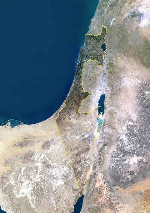
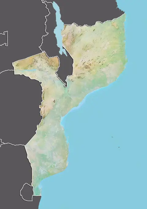
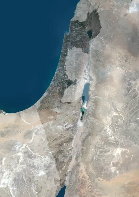
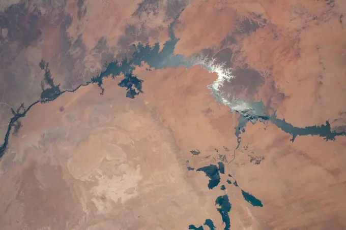
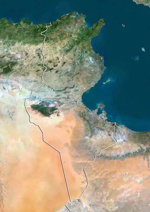
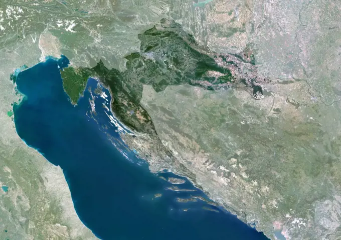
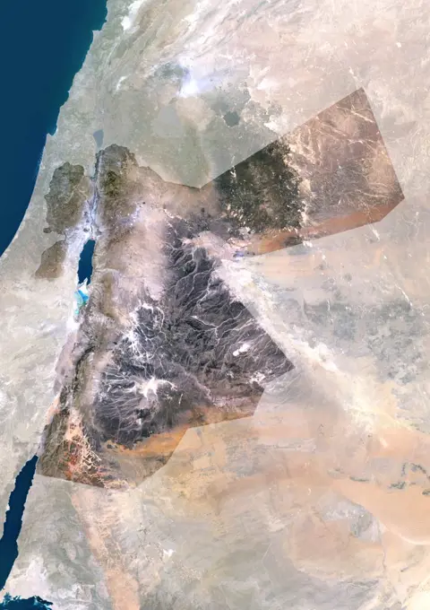
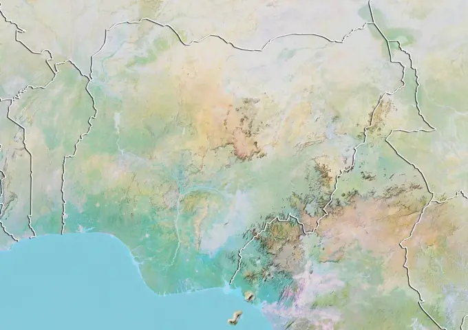
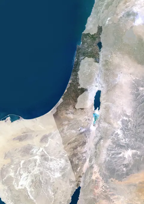
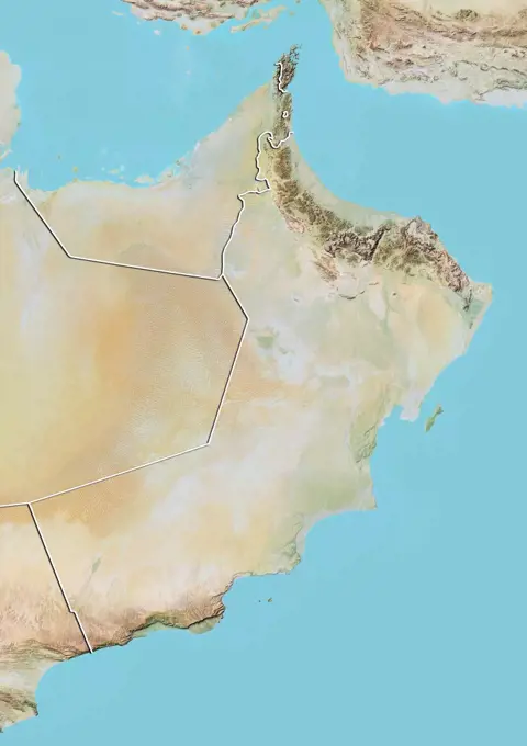
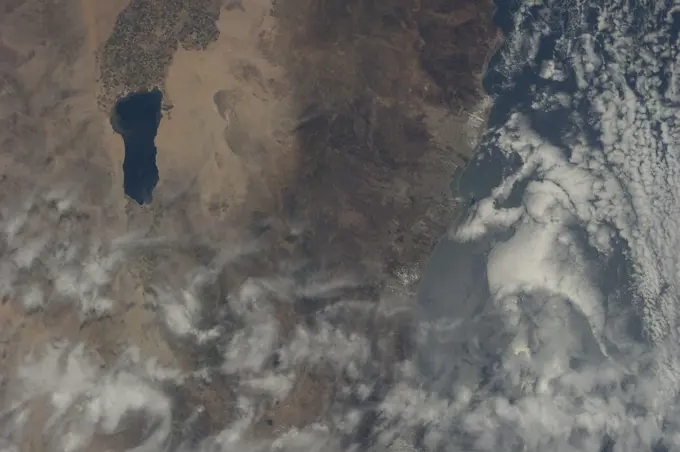
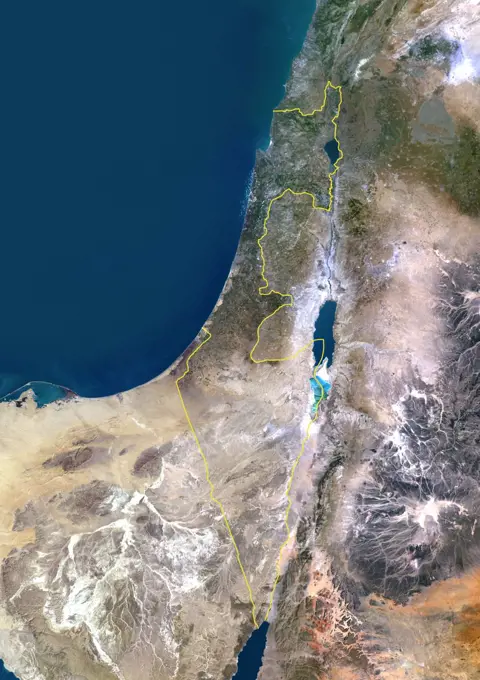
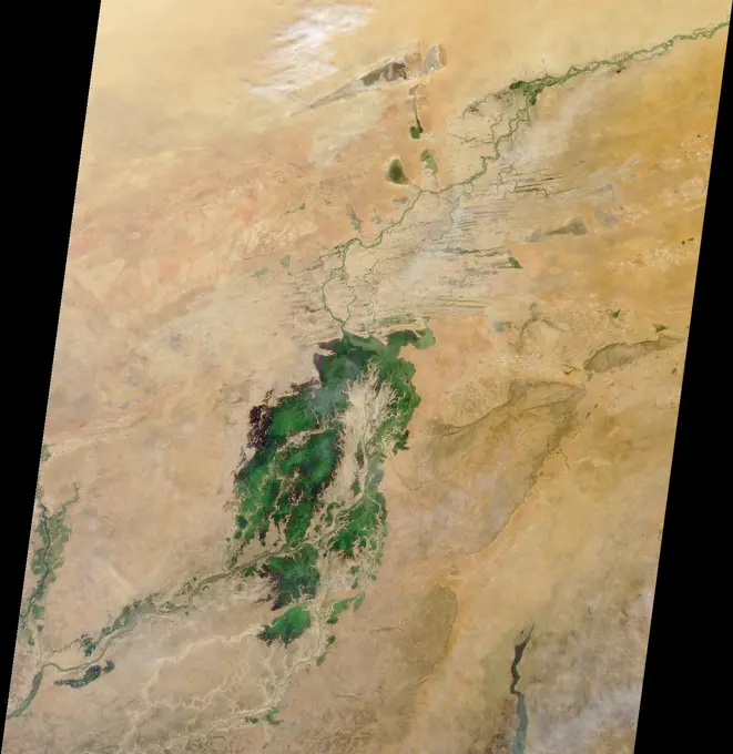
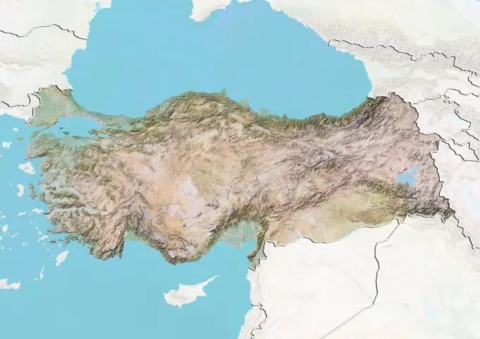
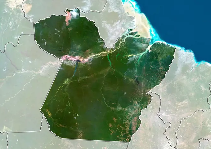
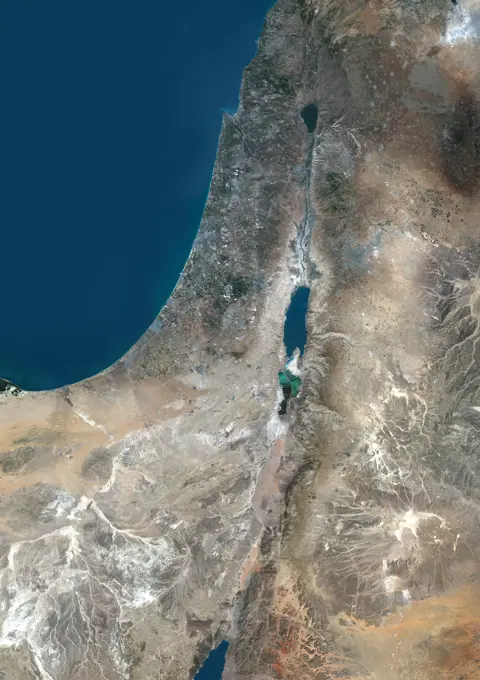
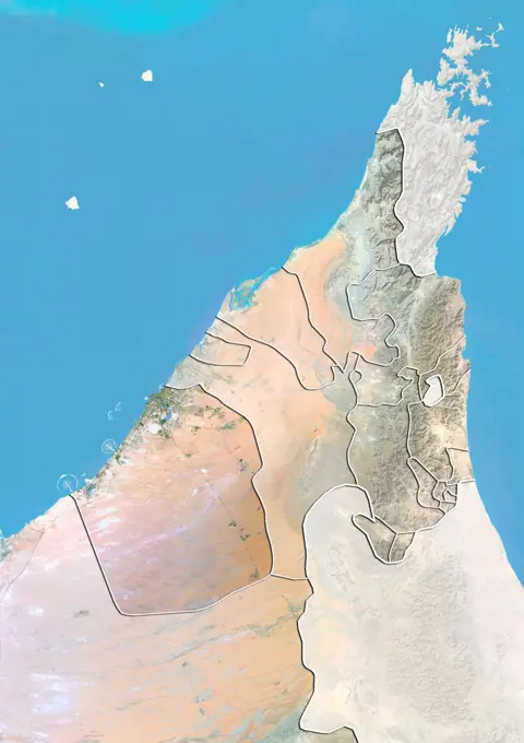
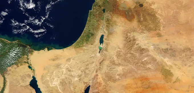
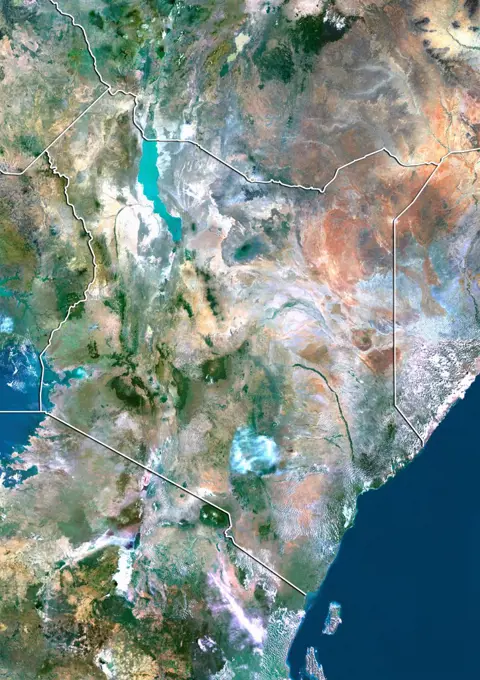
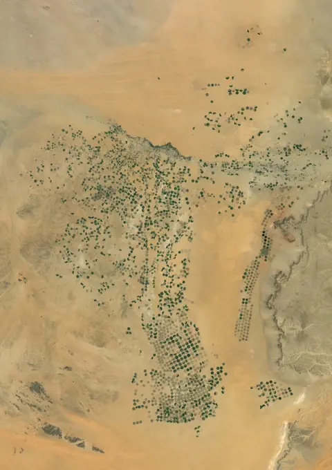
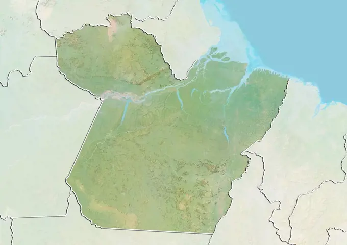
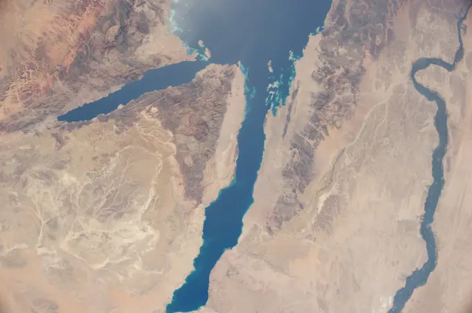
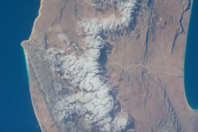
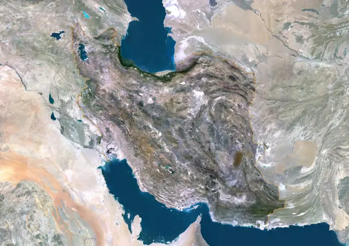
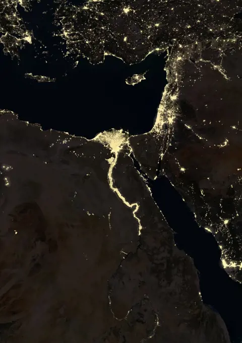
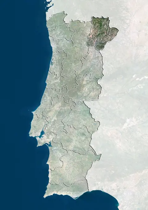
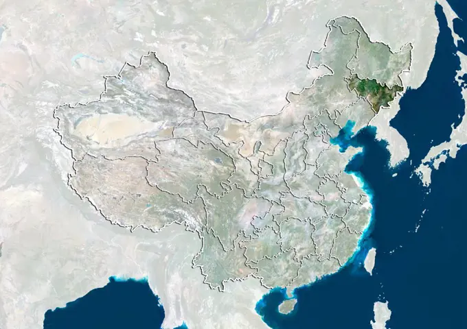
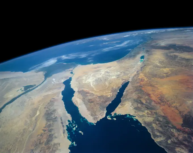
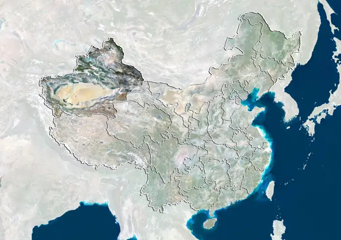
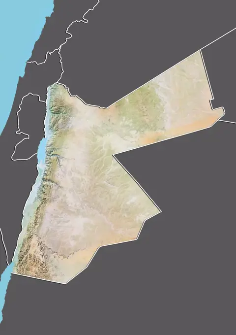
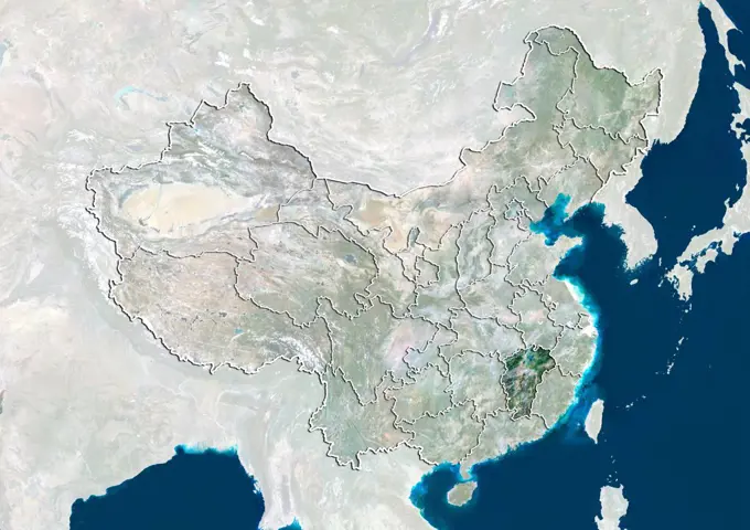
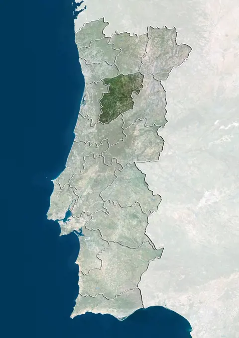
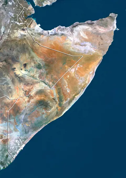
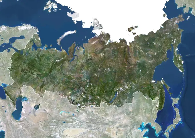
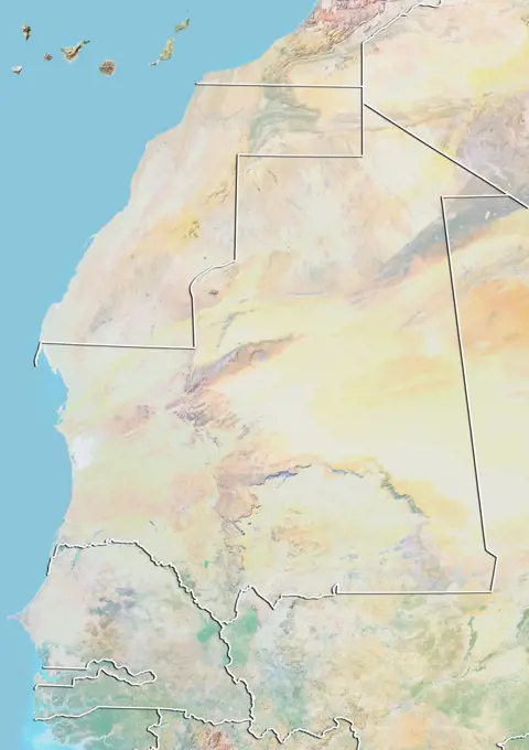
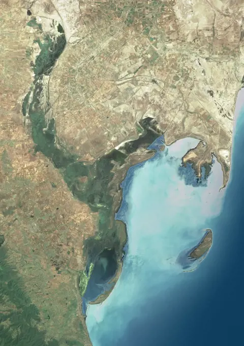
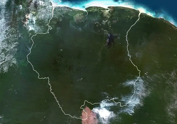
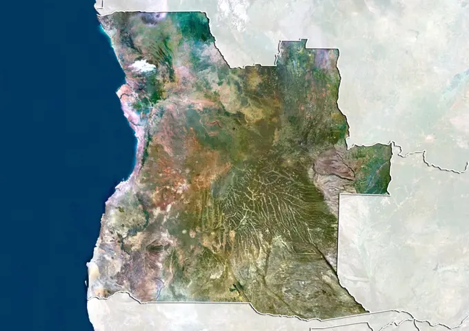
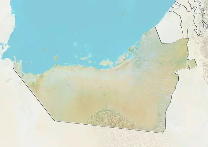
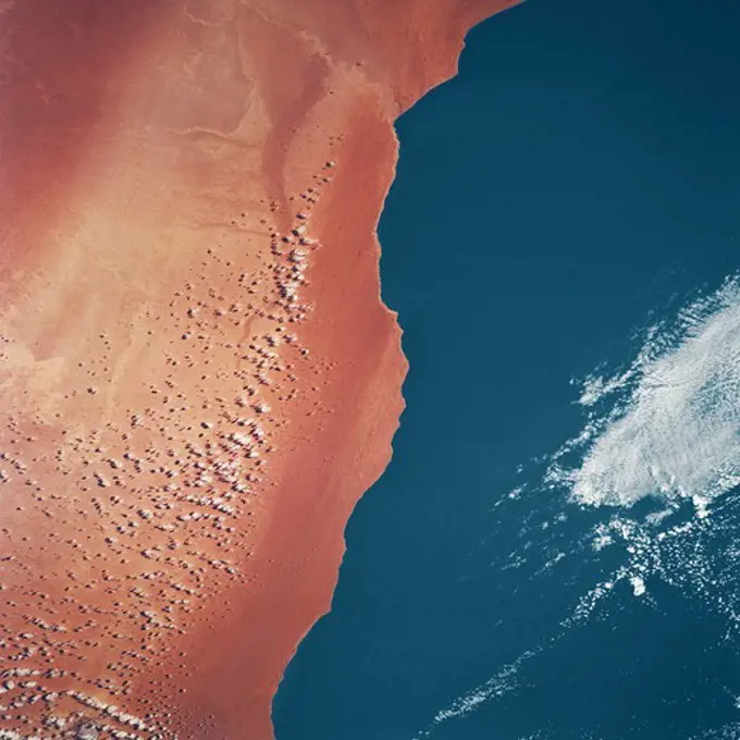
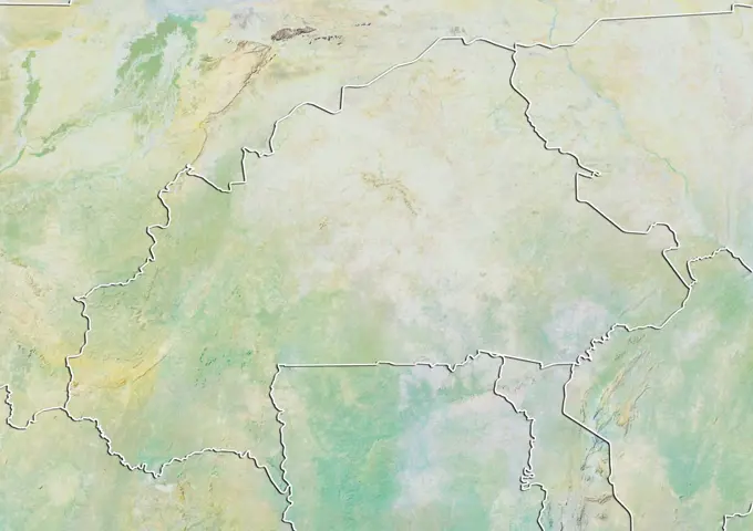
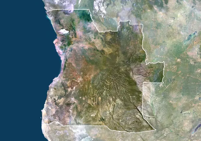
Satellite Images of African Regions

A collection of true color satellite images showcasing various African countries, featuring landscapes, borders, and nearby water bodies.

Color satellite image of Yemen, with borders and mask.
Satellite view of Venezuela with Bump Effect (with border and mask). This image was compiled from data acquired by LANDSAT 5 & 7 satellites.Satellite view of the United Arab Emirates showing the Emirate of Dubai. This image was compiled from data acquired by LANDSAT 5 & 7 satellites.Earth observation . iss068e024291 (Nov. 24, 2022) --- Qatar, the island Kingdom of Bahrain, and the eastern coast of Saudi Arabia on the Persian Gulf are pictured from the International Space Station as it orbited 258 miles above the Arabian Peninsula.Color satellite image of Qatar, with borders and mask.Syria, Middle East, Asia, True Colour Satellite Image With Border. Satellite view of Syria (with border). This image was compiled from data acquired by LANDSAT 5 & 7 satellites.Satellite view of Jordan with Bump Effect (with border). This image was compiled from data acquired by LANDSAT 5 & 7 satellites.Algeria, True Colour Satellite Image With Border. Algeria, true colour satellite image with border. North is at top. Most of the coastal area is hilly, sometimes even mountainous. The area just south of the coast is fertile. Further south is the Atlas mountain range and the Sahara desert. Algiers, Oran and Constantine are the main cities.This image was compiled from data acquired by LANDSAT 5 & 7 satellites.Color satellite image of Iran, with mask.ISS009-E-05953 (7 May 2004) --- The Pinacates Biosphere Reserve is featured in this image photographed by an Expedition 9 crewmember on the International Space Station (ISS). The Pinacates—a moon-like volcanic landscape that lies in the Sonoran Desert in Mexico just a few miles from the border with Arizona—is one of the most unique and striking landscapes in North America. The volcanic range is surrounded by one of North America’s largest dune fields, Gran Desierto. The natural history of the region includes thousands of years of human occupation; it is the aboriginal homeland of the O’Odham tribe, also known as the Papago. The region also served as an early training site for Apollo astronauts in the mid-late 1960s. The name Pinacate is derived from “pinacatl,” the Aztec name for the desert stink beetle which is common in the region. The natural and cultural resource management of the region, including the archeological sites and the high biodiversitIsrael, Middle East, Asia, True Colour Satellite Image With Border And Mask. Satellite view of Israel (with border and mask). This image was compiled from data acquired by LANDSAT 5 & 7 satellites.STS-56 Earth observation of the northeastern Nile Delta was photographed from the Earth-orbiting Discovery, Orbiter Vehicle (OV) 103. The branch of the Nile featured in the frame is Daimietta. The Suez Canal marks the boundary of the Nile Delta agriculture and the Sinai Desert to the right. Lake Masada, the dark waterlogged area to the west (left) of Port Said is becoming more saline as the Aswan Dam has reduced sediment downstream. This sediment reduction, according to NASA scientists studying the STS-56 photography, has resulted in increased coastal erosion and the intrusion of a salt-water lens to the ground water, particularly in the northeastern portions of the delta. Center pivot irrigation fields are located along either side of the Ramses Canal, which connects the Daimietta Nile with Great Bitter Lake. This canal has been re-dug three or four times in the past 3,000 years. Historians note that the canal's most famous use was as the departure point of the fleet of Pharaoh Necho.Relief map of Mozambique (with border and mask). This image was compiled from data acquired by landsat 5 & 7 satellites combined with elevation data.Satellite view of the United Arab Emirates showing the Emirate of Abu Dhabi. This image was compiled from data acquired by LANDSAT 5 & 7 satellites.Bahrain, Middle East, Asia, True Colour Satellite Image. Satellite view of Bahrain . This image was compiled from data acquired by LANDSAT 5 & 7 satellites.Satellite view of Kenya (with border and mask). This image was compiled from data acquired by LANDSAT 5 & 7 satellites.Color satellite image of Israel, with mask.Algeria, True Colour Satellite Image With Mask And Border. Algeria, true colour satellite image with mask and border. North is at top. Most of the coastal area is hilly, sometimes even mountainous. The area just south of the coast is fertile. Further south is the Atlas mountain range and the Sahara desert. Algiers, Oran and Constantine are the main cities.This image was compiled from data acquired by LANDSAT 5 & 7 satellites.The sun's glint beams off Lake Nasser in Southern Egypt in this photograph from the International Space Station as it orbited 257 miles above.Satellite view of the Emirate of Dubai and Northern UAE. This image was compiled from data acquired by LANDSAT 5 & 7 satellites.Satellite view of Tunisia (with border). This image was compiled from data acquired by LANDSAT 5 & 7 satellites.South Africa, True Colour Satellite Image With Mask. South Africa, true colour satellite image with mask. This image was compiled from data acquired by LANDSAT 5 & 7 satellites.Satellite view of Turkey (with border and mask). This image was compiled from data acquired by LANDSAT 5 & 7 satellites.Color satellite image of Iraq, with mask.Color satellite image of Lebanon and neighbouring countries, with borders.Myanmar (Burma), Asia, True Colour Satellite Image With Border And Mask. Satellite view of Myanmar (Burma) (with border and mask). This image was compiled from data acquired by LANDSAT 5 & 7 satellites.SL3-122-2620 (July-September 1973) --- Skylab 3 Earth view of the Nile Delta, Egypt and Suez Canal.Croatia, Europe, True Colour Satellite Image With Mask. Satellite view of Croatia (with mask). This image was compiled from data acquired by LANDSAT 5 & 7 satellites.Hamelin Pool Marine Nature Reserve is located in the Shark Bay World Heritage Site in Western Australia. It is one of the very few places in the world where living stromatolites can be found. These are the first living examples of structures built by cyanobacteria. These bacteria are direct descendants of the oldest form of photosynthetic life on earth, dating back 3,500 million years (Wikipedia). The image was acquired December 30, 2010, covers an area of 34 x 46 km, and is located at 26.4 degrees south latitude, 114.1 degrees east longitude. With its 14 spectral bands from the visible to the thermal infrared wavelength region and its high spatial resolution of 15 to 90 meters (about 50 to 300 feet), ASTER images Earth to map and monitor the changing surface of our planet. ASTER is one of five Earth-observing instruments launched Dec. 18, 1999, on Terra. The instrument was built by Japan's Ministry of Economy, Trade and Industry. A joint U.S./Japan science team is responsible for valiPeru, South America, True Colour Satellite Image With Border And Mask. Satellite view of Peru (with border and mask). This image was compiled from data acquired by LANDSAT 5 & 7 satellites.Jordan, Middle East, Asia, True Colour Satellite Image With Mask. Satellite view of Jordan (with mask). This image was compiled from data acquired by LANDSAT 5 & 7 satellites.Relief map of Nigeria (with border). This image was compiled from data acquired by LANDSAT 5 & 7 satellites combined with elevation data.Israel, Middle East, Asia, True Colour Satellite Image With Mask. Satellite view of Israel (with mask). This image was compiled from data acquired by LANDSAT 5 & 7 satellites.Relief map of Algeria (with border and mask). This image was compiled from data acquired by landsat 5 & 7 satellites combined with elevation data.Relief map of Oman (with border). The United Arab Emirates is at North. This image was compiled from data acquired by LANDSAT 5 & 7 satellites combined with elevation data.Earth observation taken during a day pass by an Expedition 36 crew member on board the International Space Station (ISS).Satellite view of Somalia (with country boundaries). This image was compiled from data acquired by Landsat satellites.Israel, Middle East, Asia, True Colour Satellite Image With Border. Satellite view of Israel (with border). This image was compiled from data acquired by LANDSAT 5 & 7 satellites.The third largest river in Africa, the Niger, forms an inland delta in central Mali. This image is from NASA's Terra satellite is MISR Mystery Image Quiz #3.Earth Observations taken by Expedition 34 crewmember.Relief map of Turkey (with border and mask). This image was compiled from data acquired by landsat 5 & 7 satellites combined with elevation data.Satellite view of the State of Para, Brazil. This image was compiled from data acquired by LANDSAT 5 & 7 satellites.Satellite view of Iran with Bump Effect (with border and mask). This image was compiled from data acquired by LANDSAT 5 & 7 satellites.Color satellite image of Israel, the Palestinian Territories and neighbouring countries.Somalia, Africa, True Colour Satellite Image With Border And Mask. Satellite view of Somalia (with border and mask). This image was compiled from data acquired by LANDSAT 5 & 7 satellites.Color satellite image of Republic of the Congo and neighbouring countries.Riyadh, Saudi Arabia , True Colour Satellite Image. True colour satellite image of Riyadh, the capital and largest city of Saudi Arabia. Circular agricultural plots are visible southeast of Riyadh. Composite image using LANDSAT 7 data.Satellite view of the Emirate of Dubai and Northern UAE, with bump effect. This image was compiled from data acquired by LANDSAT 5 & 7 satellites combined with elevation data.Relief map of Algeria (with border and mask). This image was compiled from data acquired by landsat 5 & 7 satellites combined with elevation data.Guatemala, Central America, True Colour Satellite Image With Border And Mask. Satellite view of Guatemala (with border and mask). This image was compiled from data acquired by LANDSAT 5 & 7 satellites.Satellite image showing the Sinai and Negev regios and the shrinking of the Dead Sea in Israel. 2016Satellite view of Kenya (with border). This image was compiled from data acquired by LANDSAT 5 & 7 satellites.Agriculture In The Desert, South Part Of The Riyadh Province, Saudi Arabia, True Colour Satellite Image. True colour satellite image of agriculture in the desert in Saudi Arabia. The image shows the south part of the Riyadh Province, about 500 km south of Riyadh. Circular agricultural plots are visible on the image. Composite image from 2001, using LANDSAT 7 data.Relief map of the State of Para, Brazil. This image was compiled from data acquired by LANDSAT 5 & 7 satellites combined with elevation data.Color satellite image of Oman and neighbouring countries.Satellite view of Mali (with country boundaries). This image was compiled from data acquired by Landsat 8 satellite in 2014.Earth observation taken by the Expedition 39 crew aboard the ISS. Image was released by astronaut on Twitter and downlinked in folder Euro pass.Colorado River Delta, Mexico, True Colour Satellite Image. True colour satellite image of the Colorado River Delta, Mexico. The Colorado River flows into the Gulf of California. Isla Montague is the large island in the center of the image. Composite image using LANDSAT 7 data.Earth Observations taken by Expedition 34 crewmember.Earth Observations taken by Expedition 34 crewmember.Satellite view of Central and Eastern China (with country boundaries). This image was compiled from data acquired by Landsat satellites.Iran, Middle East, Asia, True Colour Satellite Image With Border And Mask. Satellite view of Iran (with border and mask). This image was compiled from data acquired by LANDSAT 5 & 7 satellites.Relief map of Tanzania (with border and mask). This image was compiled from data acquired by landsat 5 & 7 satellites combined with elevation data.Egypt and part of the Middle East at night in 2012. This satellite image shows urban and industrial lights. Satellite view of China showing the province of Yunnan. This image was compiled from data acquired by LANDSAT 5 & 7 satellites.Satellite view of Portugal showing the district of Braganca. This image was compiled from data acquired by LANDSAT 5 & 7 satellites.The topography surrounding the Laguna Salada Fault in the Mexican state of Baja, California, is shown in this perspective view with data from NASA's Shuttle Radar Topography Mission where a 7.2 earthquake struck on April 4, 2010.Color satellite image of Israel, with borders and mask.Color satellite image of Gabon and Equatorial Guinea and other neighbouring countries, with borders.Satellite view of China showing the municipality of Chongqing. This image was compiled from data acquired by LANDSAT 5 & 7 satellites.Satellite view of Guatemala (with border and mask). This image was compiled from data acquired by LANDSAT 5 & 7 satellites.Satellite view of China showing the province of Jilin. This image was compiled from data acquired by LANDSAT 5 & 7 satellites.STS040-152-180 (5-24 June 1991) --- The Sinai Peninsula dominates this north-looking, oblique view. According to NASA photo experts studying the STS 40 imagery, the Red Sea in the foreground is clear of river sediment because of the prevailing dry climate of the Middle East. The great rift of the Gulf of Aqaba extends northward to Turkey (top right) through the Dead Sea. The international boundary between Israel and Egypt, reflecting different rural landscapes, stands out clearly. The Nile River runs through the frame. NASA photo experts believe the haze over the Mediterranean to be wind-borne dust. The photo was taken with an Aero-Linhof large format camera.Satellite view of the State of Gujarat, India. This image was compiled from data acquired by LANDSAT 5 & 7 satellites.Satellite view of China showing the region of Xinjiang Uyghur. This image was compiled from data acquired by LANDSAT 5 & 7 satellites.Satellite view of China showing the province of Anhui. This image was compiled from data acquired by LANDSAT 5 & 7 satellites.Relief map of Jordan (with border and mask). This image was compiled from data acquired by landsat 5 & 7 satellites combined with elevation data.S119-E-010839 (27 March 2009) --- On its final full day in space before its scheduled return home on March 28, the crew of Space Shuttle Discovery took some pictures of the home planet, including this one of the Sinai Peninsula.  The frame shows part of the Red Sea (top), Gulf of Suez (right of center), Nile River (far right edge), Gulf of Aqaba (center frame) and parts of the nations of Egypt, Jordan and Saudi Arabia.Satellite view of China showing the province of Jiangxi. This image was compiled from data acquired by LANDSAT 5 & 7 satellites.Satellite view of Peru (with border and mask). This image was compiled from data acquired by LANDSAT 5 & 7 satellites.Satellite view of Portugal showing the district of Viseu. This image was compiled from data acquired by LANDSAT 5 & 7 satellites.Iran, Iraq and Afghanistan at night in 2012. This satellite image with country borders shows urban and industrial lights. Satellite view of Somalia (with border). This image was compiled from data acquired by LANDSAT 5 & 7 satellites.Color satellite image of Malawi, with borders and maskColor satellite image of Morocco and neighbouring countries.Satellite view of the Persian Gulf (with country boundaries). This image was compiled from data acquired in 2014 by Landsat 8 satellite.Satellite view of China showing the province of Hebei. This image was compiled from data acquired by LANDSAT 5 & 7 satellites.Russia, True Colour Satellite Image With Mask And Border. Russia, true colour satellite image with mask and border. Composite image using data from LANDSAT 5 & 7satellites.Relief map of Mauritania (with border). This image was compiled from data acquired by LANDSAT 5 & 7 satellites combined with elevation data.Kura River Delta, Azerbaijan, True Colour Satellite Image. True colour satellite image of the Kura River Delta in Azerbaijan. The Kura River flows into the Caspian Sea. Composite image using LANDSAT 7 data.Suriname, South America, True Colour Satellite Image With Border. Satellite view of Suriname (with border). This image was compiled from data acquired by LANDSAT 5 & 7 satellites.Satellite view of Angola (with border and mask). This image was compiled from data acquired by LANDSAT 5 & 7 satellites.iss059e099177 (June 10, 2019) --- The Nile River, Red Sea and Mediterranean Sea are contrasted by the desert nations of Egypt, Saudi Arabia, Israel and Jordan as the International Space Station orbits 254 miles above Africa.Relief map of the Emirate of Abu Dhabi, United Arab Emirates. This image was compiled from data acquired by LANDSAT 5 & 7 satellites combined with elevation data.Sahara Desert From Space Shuttle Endeavor in Earth OrbitRelief map of Burkina Faso (with border). This image was compiled from data acquired by LANDSAT 5 & 7 satellites combined with elevation data.Earth Observation taken during a day pass by the Expedition 40 crew aboard the International Space Station (ISS). Folder lists this as the Middle East, Israel.Angola, Africa, True Colour Satellite Image With Border And Mask. Satellite view of Angola (with border and mask). This image was compiled from data acquired by LANDSAT 5 & 7 satellites.Earth observation taken by the Expedition 42 crew aboard the ISS. Image was released by astronaut on Instagram.Satellite view of China showing the region of Inner Mongolia. This image was compiled from data acquired by LANDSAT 5 & 7 satellites.Satellite view of Western India (with administrative boundaries). It covers the states of Goa, Gujarat and Maharashtra. This image was compiled from data acquired by Landsat 8 satellite in 2014.