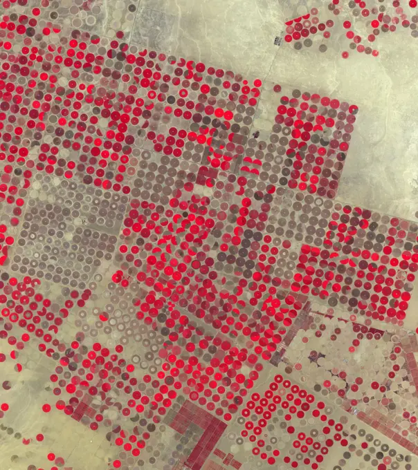
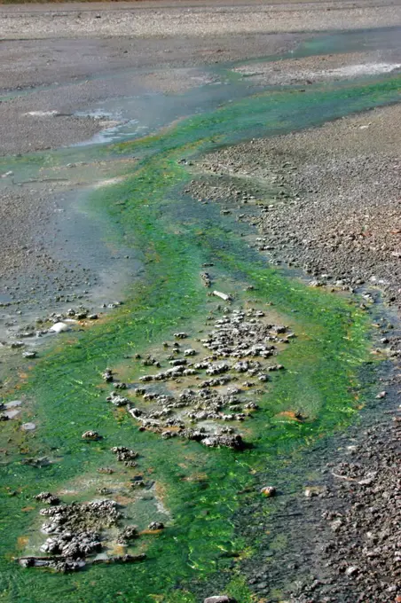
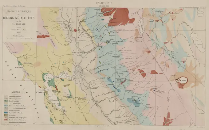
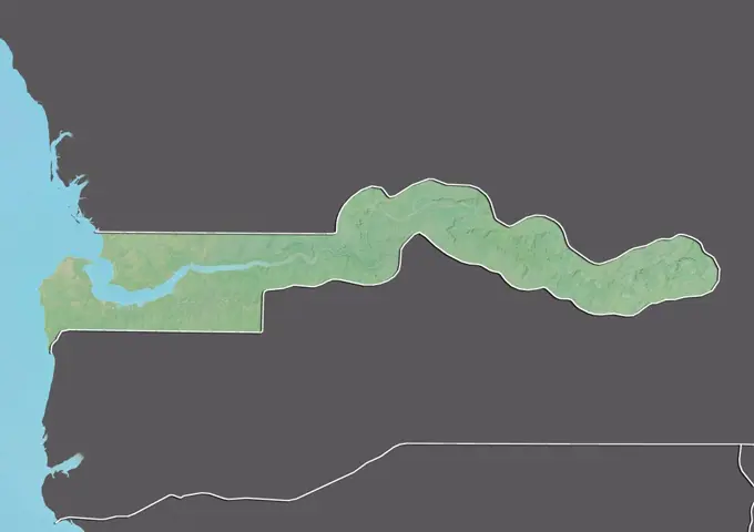
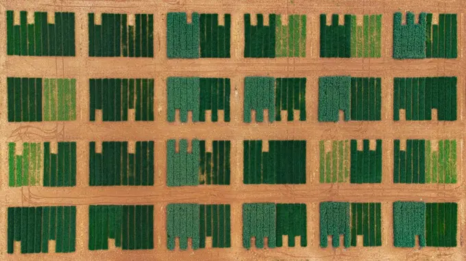
My Boards
View Pictures
  • My Boards
← Science

Satellite Images of Geographic Features

High-resolution satellite images showcasing diverse landscapes, including Zambia, Eswatini, Lake Mead, and significant geological formations.

Color satellite image of Eswatini and neighbouring countries.
140 assets in this story
6145-29825191
Sealing ca. 2030-1640 B.C. Middle Kingdom. Sealing 565764
4389-122
A View of Black Mesa, Arizona from Earth Orbit
6145-44685139
On July 21, 2007, the world's most active volcano, Kilauea on Hawaii's Big Island, produced a fissure eruption from the Pu'u O'o vent, which fed an open lava channel and lava flows toward the east. This image is from NASA's Terra satellite.
6145-44582530
This radar image, taken by NASA's Airborne Synthetic Aperture Radar (AIRSAR) in 2002, shows Hariharalaya, the ancient 9th Century A.D. capitol of the Khmer in Cambodia in the upper center portion.
6145-44781621
JPL's Uninhabited Aerial Vehicle Synthetic Aperture Radar collected this composite radar image around Qubec City, Canada, during an 11-day campaign to study the structure of temperate and boreal forests.
6145-44583605
This perspective view taken in February 2000 from NASA's Landsat and SRTM shows the capital city of San Jose, Costa Rica, the gray area in the center of the image.
6145-45292432
Mt. Etna, Italy erupted February 17, 2021, sending rivers of lave down the southeast flank of the volcano, and spewing ashes and volcanic stones over nearby villages. Sicily's Catania Airport was temporarily closed due to an ash plume that rose to 3700 m altitude. By the following week, the eruption had waned. The ASTER visible image shows the extent of the active lava flows (derived from the thermal infrared data). The image was acquired February 26, 2021, covers an area of 25.5 by 27.0 km, and is located at 37.8 degrees north, 15 degrees east.
6145-44529080
The images used for the base of this globe show the northern and southern hemispheres of Venus as revealed by more than a decade of radar investigations culminating in the 1990-1994 NASA Magellan mission.
6145-45234194
AS06-02-1462 (4 April 1968) --- View of the Dallas-Fort Worth, Texas, area as photographed from the unmanned Apollo 6 (Spacecraft 020/Saturn 502) space mission. The highway and expressway system in and around both cities is clearly visible. North is toward left side of picture. Grapevine Reservoir and Garza-Little Elm Reservoir are to the north-west of Dallas. The city of Denton can be seen in left center of picture at conjunction of highways leading to both Fort Worth and Dallas. The Brazos River is in lower right corner. This photograph was made three hours and nine minutes after liftoff of the Apollo 6 space flight.
6145-44635064
New Orleans Topography, Radar Image with Colored Height
1899-66718
Relief map of Bangladesh (with border and mask). This image was compiled from data acquired by landsat 5 & 7 satellites combined with elevation data.
6145-44515067
Rectangular fields of the agriculturally rich Santa Clara River Valley are visible in this perspective view generated by using data from the Shuttle Radar Topography Mission and an enhanced Landsat image.
1746-19664344
Tasman Sea floor and land relief map
6145-44808150
This image, acquired 11-05-2007 by NASA's Terra spacecraft, shows the city of Chateaubriant, France, surrounded by very old farmsteads. The surrounding countryside presents an interesting pattern of randomly oriented, small individual farmsteads.
6145-45072233
This view of the 'belly' and part of the 'head' of comet 67P/Churyumov-Gerasimenko indicates several morphologically different regions as seen by ESA's Rosetta spacecraft.
4128R-11474430
Mandelbrot fractal. Computer graphic showing a fractal image derived from the Mandelbrot Set. Fractals geometry is used to derive complex shapes as of...
6145-44560986
Very High Resolution Image of Icy Cliffs on Europa and Similar Scales on Earth (Providence, RI)
1746-19671033
Maat Mons is displayed in this three-dimensional perspective view of the surface of Venus. Magellan.
6145-44513770
These images from NASA's Terra satellite images of Oklahoma and north Texas were acquired on March 12, 2000 during Terra orbit 1243.
1899-81528
Relief map of Chad (with border and mask). This image was compiled from data acquired by landsat 5 & 7 satellites combined with elevation data.
4220-21080562
Apophyllite India, refers to a specific group of phyllosilicates, a class of minerals. Originally, the group name referred to a specific mineral, but was redefined in 1978 to stand for a class of minerals of similar chemical makeup that comprise a solid solution series, and includes the members apophyllite-(KF), apophyllite-(KOH), and apophyllite-(NaF)     Date:
824-63227222
Transmission electron micrograph of a B cell from a human donor.
6145-58971990
In the Al Jowf Province in northwestern Saudi Arabia, mining of fossil ground water has created an enormous agricultural enterprise, where tens of thousands of date palms and olive trees thrive in a hyper-arid environment. In a short 30-year period, the area has grown from 22 center-pivot irrigated fields to thousands. The Landsat TM image (Figure 1) was acquired March 30, 1989; the ASTER image on February 17, 2020. The images cover an area of 33.2 by 49 km, and are located at 30.1 degrees north, 38.3 degrees east.
4413-84451
Thermophiles microbes living in the sources of hot water
6145-45050501
Located in the fertile agricultural region of Argentina's Pampas is a guitar-shaped forest made up of cypress and eucalyptus trees as seen by NASA's Terra spacecraft.
6145-44532824
The Nyiragongo volcano in the Congo erupted on January 17, 2002, and subsequently sent streams of lava into the city of Goma on the north shore of Lake Kivu.
1899-81582
Relief map of Lesotho (with border and mask). This image was compiled from data acquired by landsat 5 & 7 satellites combined with elevation data.
1899-66974
Relief map of the State of Nevada, United States. This image was compiled from data acquired by LANDSAT 5 & 7 satellites combined with elevation data.
4443-75458404
Esquisse geologique des regions metalliferes de la Californie Janvier, Fevrier, Mars 1865. Additional, Californie Geologie., 1865 (Inferred)., Paris, Fr. Publisher, publisher not identified. Geology, California; Mines and mineral resources, California; Discovery and exploration., 1 map, hand colored, 26 x 45 cm, on sheet 31 x 52 cm
1899-82213
Relief map of the State of Arizona, United States. This image was compiled from data acquired by LANDSAT 5 & 7 satellites combined with elevation data.
6145-44612280
Heavy snowfall on March 12, 2004, across north China's Inner Mongolia Autonomous Region, Mongolia and Russia, caused train and highway traffic to stop for several days along the Russia-China border shown here by NASA's Terra spacecraft.
1525-22255193
Editable vector illustration of red blood vessels
5513-48210705
***** of the destructiveness of the A-bomb and the projected H-bomb on Sydney *****. The inner circle shows the area which would be totally destroyed by an A-bomb. The outer circle shows the estimated area of destruction by an H-bomb. July 02, 1950.
6145-44712116
NASA Ames Hyperwall II showing fires world wide Photo taken by Summer Photography Intern Nick Tran
6188-71828488
Earth Temperature Isotherm Map Detailed map illustrating global temperature flow using isotherm lines. Shows varying temperature gradients across the Earth s surface, with color-coded zones representing warm and cold areas. Ideal for climate studies and weather analysis. Copyright: xLkeskinenx
1899-81551
Relief map of Gambia (with border and mask). This image was compiled from data acquired by landsat 5 & 7 satellites combined with elevation data.
6145-29929724
Geological map of the City of Paris (General Inspectorate of Careers), 1986
6145-45070935
Scientists modeled how methane rainfall runoff would interact with the porous, icy crust of Saturn's moon Titan and found that a subsurface methane 'aquifer' might have its composition changed over time due to the formation of materials called clathrates.
1815-20184076
Green pattern on seed testing field
6145-44544802
STS068-S-054 (10 October 1994) --- This is a deformation map of the south flank of Kilauea volcano on the big island of Hawaii, centered at 19.5 degrees north latitude and 155.25 degrees west longitude.  The map was created by combining interferometric radar data - that is data acquired on different passes of the Space Shuttle Endeavour which are then overlaid to obtain elevation information - acquired by the Spaceborne Imaging Radar-C/X-Band Synthetic Aperture Radar (SIR-C/X-SAR) during its first flight in April 1994 and its second flight in October 1994.  The area shown is approximately 40 by 80 kilometers (25 by 50 miles).  North is toward the upper left of the image.  The colors indicate the displacement of the surface in that direction that the radar instrument was pointed (toward the right of the image) in the six months between images.  The analysis of ground movement is preliminary, but appears consistent with the motions detected by the Global Positioning System ground receive
PREVIOUS
of 2
NEXT
2401 S. Ervay, Suite 206
Dallas, Texas 75215
United States
Get Started
Free ResearchMy BoardsMy Cart
For Creators
How To License Your ContentContributor PortalFrame of Mind
Resources
API accessPricing
Contact
+1 866 236 0087help@viewpictures.co.uk Contact form
©2026 View Pictures. All Rights Reserved. -A
This site is protected by reCAPTCHA and Google Privacy Policy and Terms of Service apply.