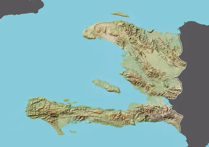
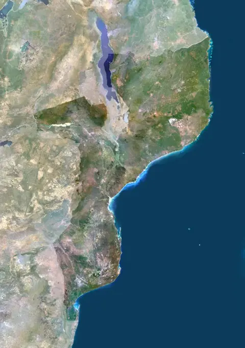
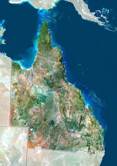
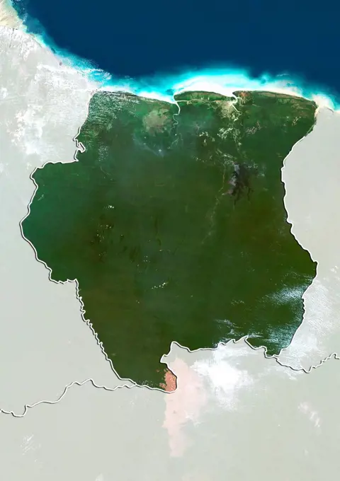
Satellite Maps of RegionsSatellite imagery showing geographical relief and features of various regions, including color-coded maps of Ecuador, Venezuela, Nicaragua, Guatemala, and Brunei. Color satellite image of Honduras and neighbouring countries. 398 assets in this story1899-350371899-820441899-798921899-798941899-535182161899-535179391899-535177501899-535180731899-535182281899-797161899-797701899-219896801899-353561899-667681899-668501899-353551899-535178431899-816721899-802831899-817541899-803941899-811831899-803951899-808501899-807211899-535181321899-800041899-354771899-805501899-535178281899-810111899-807331899-821251899-810051899-212895511899-212896841899-351371899-816141899-535181301899-808481899-810531899-796341899-667511899-798651899-808601899-350461899-212899834128R-153029021899-212899471899-346161899-815961899-535177441899-815491899-535179221899-808591899-799951899-535178631899-346486145-448078981899-669151899-804151899-358771899-801341899-797181899-358781899-805311899-815691899-212898881899-797821899-535177841899-803551899-808661899-797851899-358091899-796631899-807491899-212899591899-805841899-808681899-805711899-805521899-810231899-535182091899-808751899-801321899-535182031899-808721899-212899341899-808741899-349181899-535180121899-535182011899-212897281899-808691899-806911899-669181899-535179411899-212896371899-808531899-35120 PREVIOUS of 4 NEXT