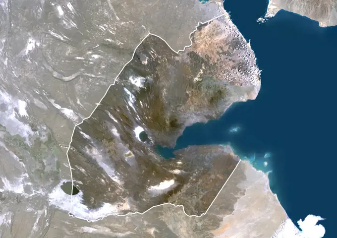
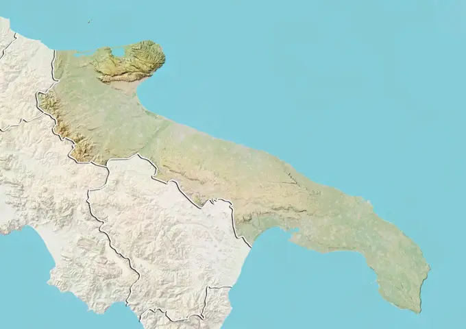
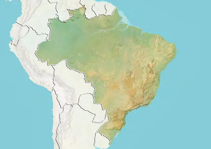
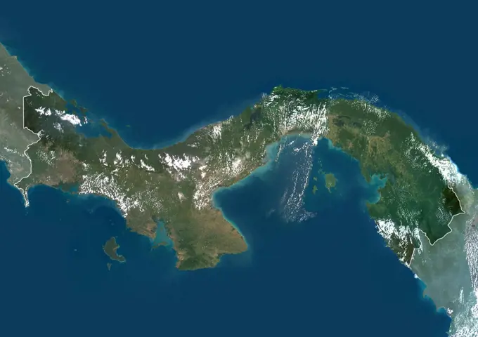
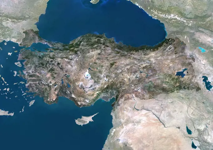
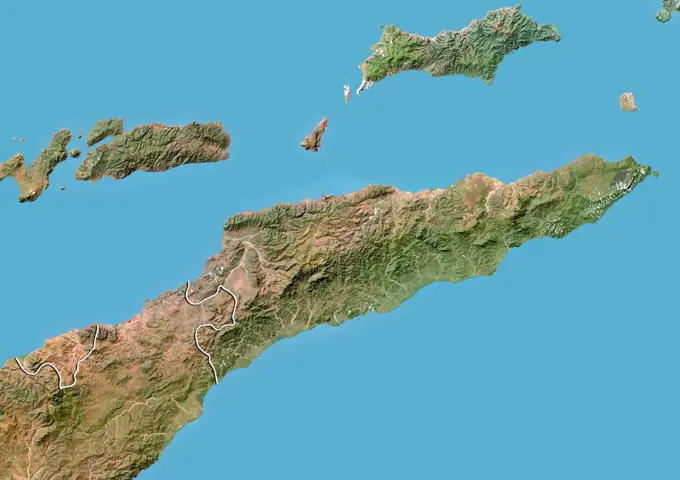
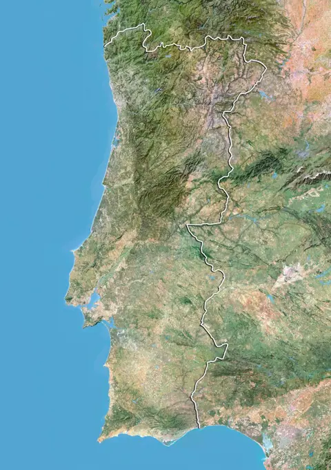
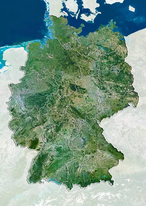
My Boards
View Pictures
  • My Boards

Satellite Maps of Regions

Satellite imagery showing geographical relief and features of various regions, including color-coded maps of Ecuador, Venezuela, Nicaragua, Guatemala, and Brunei.

Color satellite image of Honduras and neighbouring countries.
398 assets in this story
1899-79787
Relief map of Equator (with border and mask). This image was compiled from data acquired by landsat 5 & 7 satellites combined with elevation data.
1899-53518300
Color satellite image of Venezuela, with borders and mask.
1899-35387
Nicaragua, Central America, True Colour Satellite Image With Mask. Satellite view of Nicaragua (with mask). This image was compiled from data acquired by LANDSAT 5 & 7 satellites.
1899-53517904
Color satellite image of Guatemala and neighbouring countries, including Belize.
1899-79665
Relief map of Brunei (with border and mask). This image was compiled from data acquired by landsat 5 & 7 satellites combined with elevation data.
1899-79991
Relief map of Laos (with border). This image was compiled from data acquired by LANDSAT 5 & 7 satellites combined with elevation data.
1899-53517924
Color satellite image of Honduras and neighbouring countries.
1899-53517836
Color satellite image of Ecuador, with mask.
1899-79900
Relief map of Honduras (with border). This image was compiled from data acquired by LANDSAT 5 & 7 satellites combined with elevation data.
1899-82185
Relief map of Navarre, Spain. This image was compiled from data acquired by LANDSAT 5 & 7 satellites combined with elevation data.
1899-81728
Relief map of the State of Maranhao, Brazil. This image was compiled from data acquired by LANDSAT 5 & 7 satellites combined with elevation data.
1899-80384
Relief map of Vietnam, Cambodia and Laos (with border). This image was compiled from data acquired by LANDSAT 5 & 7 satellites combined with elevation data.
1899-53518252
Color satellite image of Thailand, with borders and mask.
1899-79792
Satellite view of Ecuador (with border). This image was compiled from data acquired by LANDSAT 5 & 7 satellites.
1899-53518042
Color satellite image of Malaysia, with borders and mask.
1899-66947
Relief map of Navarre, Spain. This image was compiled from data acquired by LANDSAT 5 & 7 satellites combined with elevation data.
1899-53517876
Color satellite image of Gabon and Equatorial Guinea and other neighbouring countries.
1899-53518139
Color satellite image of Peru, with borders and mask.
1899-81010
Satellite view of Portugal with bump effect, showing the district of Evora. This image was compiled from data acquired by LANDSAT 5 & 7 satellites combined with elevation data.
1899-35423
Thailand, Asia, True Colour Satellite Image With Mask. Satellite view of Thailand (with mask). This image was compiled from data acquired by LANDSAT 5 & 7 satellites.
1899-53518005
Color satellite image of Lebanon, with borders and mask.
1899-66913
Relief map of the region of Apulia, Italy. This image was compiled from data acquired by LANDSAT 5 & 7 satellites combined with elevation data.
1899-81071
Satellite view of Spain showing the region of Catalonia. This image was compiled from data acquired by LANDSAT 5 & 7 satellites.
1899-79725
Relief map of Colombia (with border and mask). This image was compiled from data acquired by landsat 5 & 7 satellites combined with elevation data.
1899-80386
Satellite view of Vietnam, Cambodia and Laos (with border). This image was compiled from data acquired by LANDSAT 5 & 7 satellites.
1899-66934
Relief map of Andalusia, Spain. This image was compiled from data acquired by LANDSAT 5 & 7 satellites combined with elevation data.
1899-79763
Satellite view of Djibouti with Bump Effect (with border and mask). This image was compiled from data acquired by LANDSAT 5 & 7 satellites.
1899-21289930
Satellite view of South America. This image was compiled from data acquired by Landsat 7 & 8 satellites.
1899-35895
Haiti, True Colour Satellite Image With Mask And Border. Haiti, true colour satellite image with mask and border. This image was compiled from data acquired by LANDSAT 5 & 7 satellites.
1899-81016
Satellite view of Portugal with bump effect, showing the district of Guarda. This image was compiled from data acquired by LANDSAT 5 & 7 satellites combined with elevation data.
1899-53518219
Color satellite image of Spain, with mask.
1899-35227
Djibouti, Africa, True Colour Satellite Image With Border And Mask. Satellite view of Djibouti (with border and mask). This image was compiled from data acquired by LANDSAT 5 & 7 satellites.
1899-66820
Relief map of Peru (with border and mask). This image was compiled from data acquired by landsat 5 & 7 satellites combined with elevation data.
1899-82038
Relief map of the region of Apulia, Italy. This image was compiled from data acquired by LANDSAT 5 & 7 satellites combined with elevation data.
1899-21289598
Satellite view of the Caucasus. This image was compiled from data acquired in 2014 by Landsat 8 satellite.
1899-81013
Satellite view of Portugal with bump effect, showing the district of Faro. This image was compiled from data acquired by LANDSAT 5 & 7 satellites combined with elevation data.
1899-53517671
Color satellite image of Albania, with mask.
1899-81018
Relief map of Portugal showing the district of Leiria. This image was compiled from data acquired by LANDSAT 5 & 7 satellites combined with elevation data.
1899-21289924
Satellite view of Sicily, Italy. Mount Etna, on the East coast of Sicily, is the largest active volcano in Europe. This image was compiled from data acquired by Landsat satellites.
1899-79774
Satellite view of Dominican Republic (with border). This image was compiled from data acquired by LANDSAT 5 & 7 satellites.
1899-80271
Satellite view of Spain and Portugal (with border). This image was compiled from data acquired by LANDSAT 5 & 7 satellites.
1899-80562
Satellite view of Brazil showing the State of Pernambuco. This image was compiled from data acquired by LANDSAT 5 & 7 satellites.
1899-35818
Pechora River Delta, Russia, True Colour Satellite Image. True colour satellite image of the Pechora River Delta in Russia. The Pechora River flows into the Pechora Sea at Nosovaya. The sea at top is the Barents Sea. At the top of the image is part of Novaya Zemlya, an archipelago in the Arctic Ocean. Composite image using LANDSAT 5 data.
1899-80544
Satellite view of Brazil showing the State of Espirito Santo. This image was compiled from data acquired by LANDSAT 5 & 7 satellites.
1899-81512
Relief map of Belize (with border and mask). This image was compiled from data acquired by landsat 5 & 7 satellites combined with elevation data.
1899-82039
Relief map of the region of Apulia, Italy. This image was compiled from data acquired by LANDSAT 5 & 7 satellites combined with elevation data.
1899-35415
Malaysia, Asia, True Colour Satellite Image With Mask. Satellite view of Malaysia (with mask). This image was compiled from data acquired by LANDSAT 5 & 7 satellites.
1899-80116
Satellite view of Nicaragua with Bump Effect (with border and mask). This image was compiled from data acquired by LANDSAT 5 & 7 satellites.
1899-35053
Colombia, South America, True Colour Satellite Image With Border. Satellite view of Colombia (with border). This image was compiled from data acquired by LANDSAT 5 & 7 satellites.
1899-53518309
Color satellite image of Yemen and neighbouring countries.
1899-81920
Relief map of Provence-Alpes-Cote d'Azur, France. This image was compiled from data acquired by LANDSAT 5 & 7 satellites combined with elevation data.
6145-44526017
ISS002-E-7651 (22 June 2001) --- Sicilyand the "toe" of Italy are featured in this Expedition Two  digital still camera's nearly-vertical view from the International Space Station (ISS).
1899-80155
Relief map of Papua New Guinea (with border). This image was compiled from data acquired by LANDSAT 5 & 7 satellites combined with elevation data.
1899-21289786
Satellite view of Malaysia (with country boundaries). This image was compiled from data acquired by Landsat satellites.
1899-35894
Haiti, True Colour Satellite Image With Mask. Haiti, true colour satellite image with mask. This image was compiled from data acquired by LANDSAT 5 & 7 satellites.
1899-35026
Albania, Europe, True Colour Satellite Image With Border And Mask. Satellite view of Albania (with border and mask). This image was compiled from data acquired by LANDSAT 5 & 7 satellites.
1899-21289801
Satellite view of Morocco and Western Sahara (with country boundaries). This image was compiled from data acquired in 2014 by Landsat 8 satellite.
1899-79661
Relief map of Brazil (with border and mask). This image was compiled from data acquired by landsat 5 & 7 satellites combined with elevation data.
1899-35048
Panama, Central America, True Colour Satellite Image With Border And Mask. Satellite view of Panama (with border and mask). This image was compiled from data acquired by LANDSAT 5 & 7 satellites.
1899-66861
Relief map of Vietnam (with border and mask). This image was compiled from data acquired by landsat 5 & 7 satellites combined with elevation data.
1899-82089
Relief map of the region of Chugoku, Japan. This image was compiled from data acquired by LANDSAT 5 & 7 satellites combined with elevation data.
1899-79812
Satellite view of Eritrea with Bump Effect (with border). This image was compiled from data acquired by LANDSAT 5 & 7 satellites.
1899-80428
Satellite view of Argentina showing the province of Formosa. This image was compiled from data acquired by LANDSAT 5 & 7 satellites.
1899-79893
Satellite view of Haiti with Bump Effect (with border). This image was compiled from data acquired by LANDSAT 5 & 7 satellites.
1899-81043
Satellite view of Portugal with bump effect, showing the district of Viseu. This image was compiled from data acquired by LANDSAT 5 & 7 satellites combined with elevation data.
1899-79580
Satellite view of Angola (with border). This image was compiled from data acquired by LANDSAT 5 & 7 satellites.
1899-80005
Satellite view of Lebanon (with border). This image was compiled from data acquired by LANDSAT 5 & 7 satellites.
1899-81068
Satellite view of Spain showing the region of Castile La Mancha. This image was compiled from data acquired by LANDSAT 5 & 7 satellites.
1899-80476
Satellite view of Argentina with boundaries of provinces . This image was compiled from data acquired by LANDSAT 5 & 7 satellites.
1899-79664
Satellite view of Brazil (with border). This image was compiled from data acquired by LANDSAT 5 & 7 satellites.
1899-79587
Relief map of Argentina (with border). This image was compiled from data acquired by LANDSAT 5 & 7 satellites combined with elevation data.
1899-80268
Relief map of Spain (with border and mask). This image was compiled from data acquired by landsat 5 & 7 satellites combined with elevation data.
1899-80114
Relief map of Nicaragua (with border and mask). This image was compiled from data acquired by landsat 5 & 7 satellites combined with elevation data.
1899-35390
Peru, South America, True Colour Satellite Image With Mask. Satellite view of Peru (with mask). This image was compiled from data acquired by LANDSAT 5 & 7 satellites.
1899-21289608
Satellite view of Southern South America (with country boundaries). The image shows Chile, Argentina, Paraguay and Uruguay. This image was compiled from data acquired by Landsat satellites.
1899-66753
Relief map of Eritrea (with border and mask). This image was compiled from data acquired by landsat 5 & 7 satellites combined with elevation data.
1899-66817
Relief map of Panama (with border and mask). This image was compiled from data acquired by landsat 5 & 7 satellites combined with elevation data.
1899-82040
Satellite view of the region of Apulia, Italy. This image was compiled from data acquired by LANDSAT 5 & 7 satellites.
1899-81182
Relief map of the Emirate of Sharjah and Northern UAE. This image was compiled from data acquired by LANDSAT 5 & 7 satellites combined with elevation data.
1899-80554
Satellite view of Brazil showing the State of Minas Gerais. This image was compiled from data acquired by LANDSAT 5 & 7 satellites.
1899-81850
Relief map of Shanghai, China. This image was compiled from data acquired by LANDSAT 7 satellite combined with elevation data.
1899-35064
Croatia, Europe, True Colour Satellite Image With Border And Mask. Satellite view of Croatia (with border and mask). This image was compiled from data acquired by LANDSAT 5 & 7 satellites.
1899-80334
Relief map of Tunisia (with border). This image was compiled from data acquired by LANDSAT 5 & 7 satellites combined with elevation data.
1899-53518138
Color satellite image of Peru and neighbouring countries, with borders.
1899-35397
Azerbaijan, Asia, True Colour Satellite Image With Mask. Satellite view of Azerbaijan (with mask). This image was compiled from data acquired by LANDSAT 5 & 7 satellites.
1899-79817
Satellite view of Estonia (with border and mask). This image was compiled from data acquired by LANDSAT 5 & 7 satellites.
1899-21289988
Satellite view of Tunisia (with country boundaries). This image was compiled from data acquired by Landsat 8 satellite in 2014.
1899-35426
Turkey, Asia, True Colour Satellite Image With Mask. Satellite view of Turkey (with mask). This image was compiled from data acquired by LANDSAT 5 & 7 satellites.
1899-79784
Satellite view of East Timor with Bump Effect (with border). This image was compiled from data acquired by LANDSAT 5 & 7 satellites.
1899-80179
Satellite view of Portugal with Bump Effect (with border). This image was compiled from data acquired by LANDSAT 5 & 7 satellites.
1899-35401
Brunei, Asia, True Colour Satellite Image With Mask. Satellite view of Brunei (with mask). This image was compiled from data acquired by LANDSAT 5 & 7 satellites.
1899-80538
Satellite view of Brazil showing the State of Amazonas. This image was compiled from data acquired by LANDSAT 5 & 7 satellites.
1899-80781
Satellite view of Germany with boundaries of States. This image was compiled from data acquired by LANDSAT 5 & 7 satellites.
1899-35295
Papua New Guinea, Asia, True Colour Satellite Image With Border And Mask. Satellite view of Papua New Guinea (with border and mask). This image was compiled from data acquired by LANDSAT 5 & 7 satellites.
1899-21289782
Satellite view of Madagascar. Comoros and Mayotte islands are at North. This image was compiled from data acquired by Landsat satellites.
1899-80739
Satellite view of France showing the region of Picardy. This image was compiled from data acquired by LANDSAT 5 & 7 satellites.
1899-35023
Guatemala, Central America, True Colour Satellite Image With Border. Satellite view of Guatemala (with border). This image was compiled from data acquired by LANDSAT 5 & 7 satellites.
1899-81750
Relief map of the State of Rio Grande do Sul, Brazil. This image was compiled from data acquired by LANDSAT 5 & 7 satellites combined with elevation data.
1899-80338
Relief map of Turkey (with border). This image was compiled from data acquired by LANDSAT 5 & 7 satellites combined with elevation data.
1899-53518131
Color satellite image of Papua New Guinea, with borders and mask.
PREVIOUS
of 4
NEXT
2401 S. Ervay, Suite 206
Dallas, Texas 75215
United States
Get Started
Free ResearchMy BoardsMy Cart
For Creators
How To License Your ContentContributor PortalFrame of Mind
Resources
API accessPricing
Contact
+1 866 236 0087help@viewpictures.co.uk Contact form
©2026 View Pictures. All Rights Reserved. -B
This site is protected by reCAPTCHA and Google Privacy Policy and Terms of Service apply.