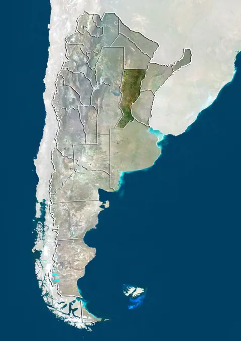
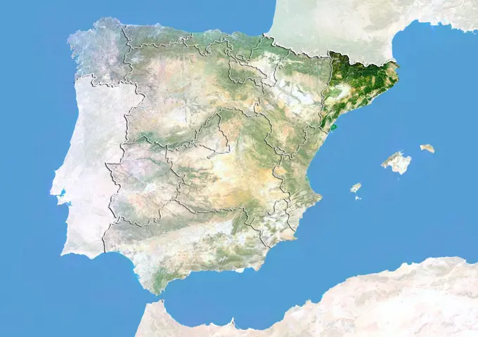
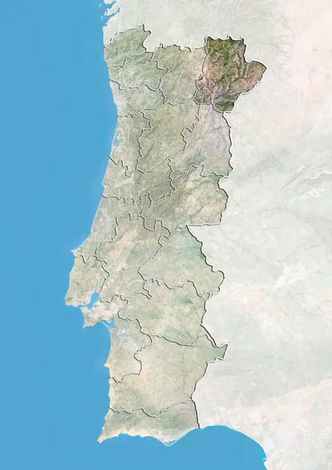
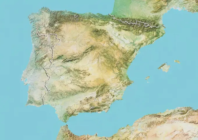
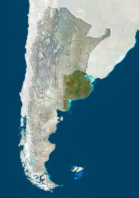
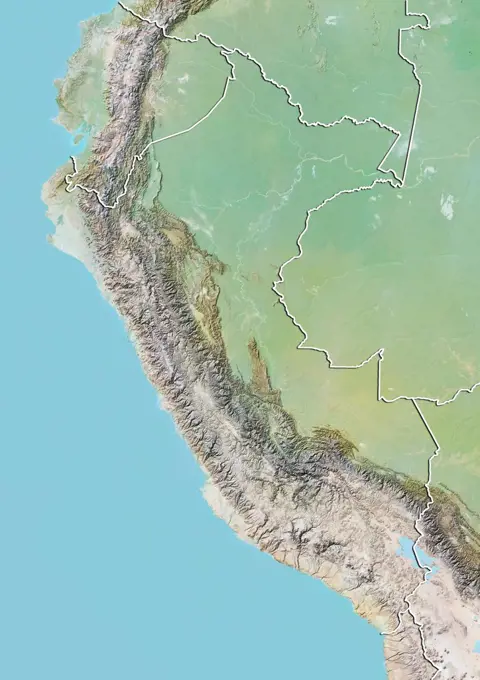
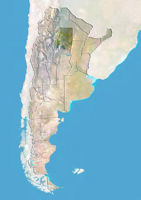
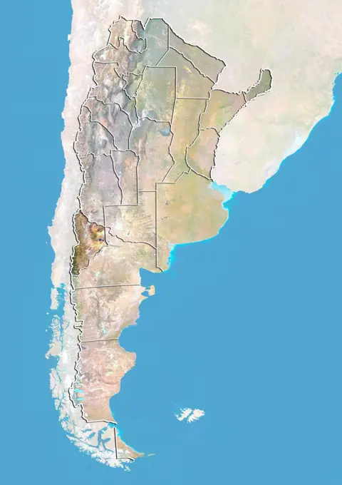
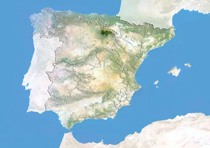
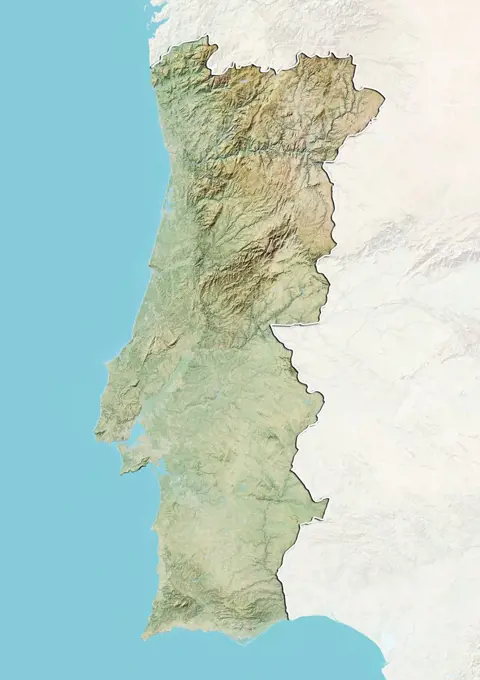
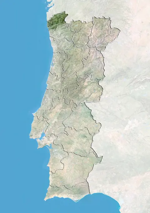
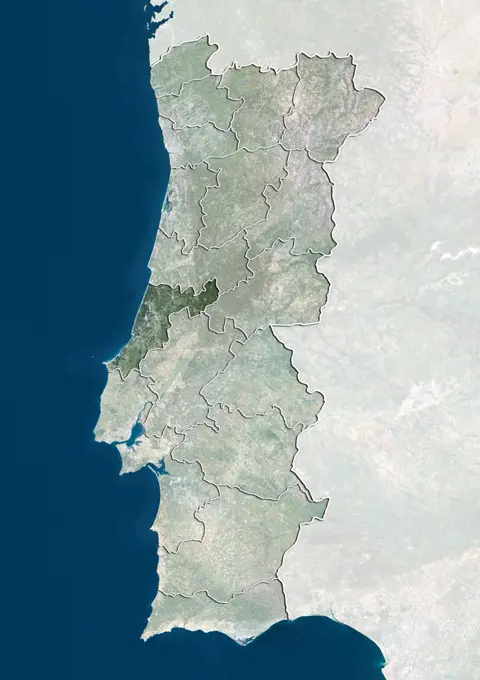
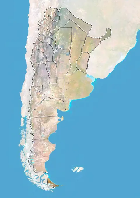
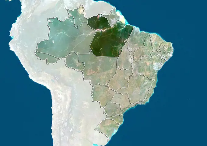
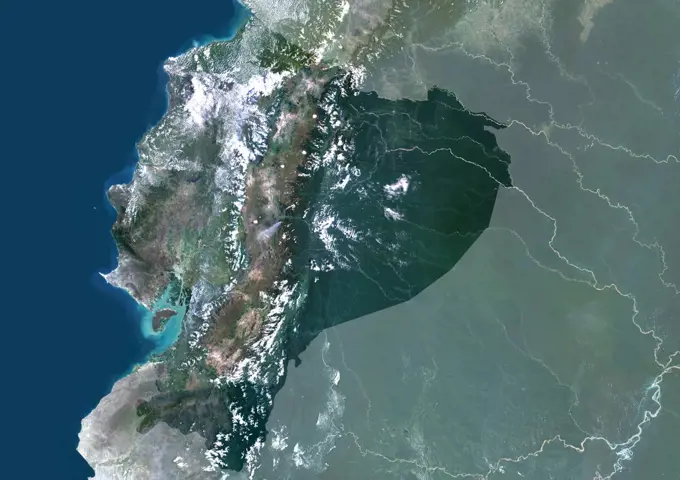
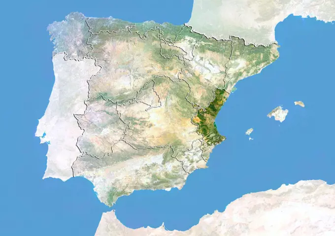
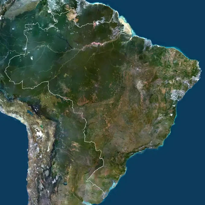
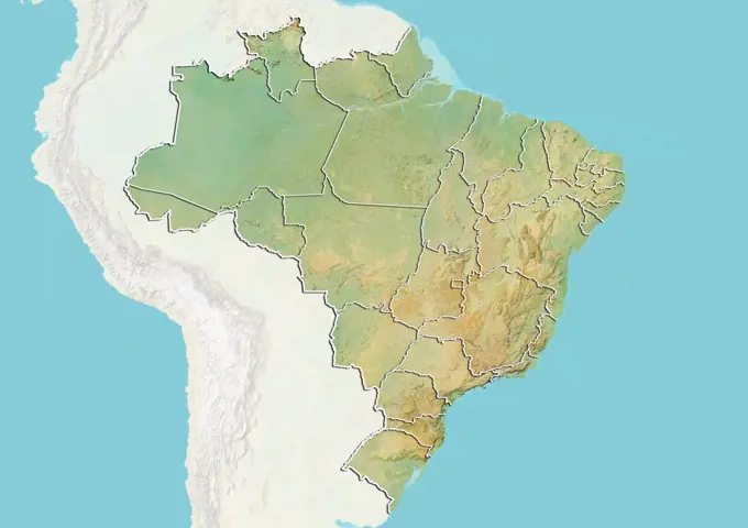
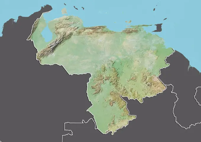
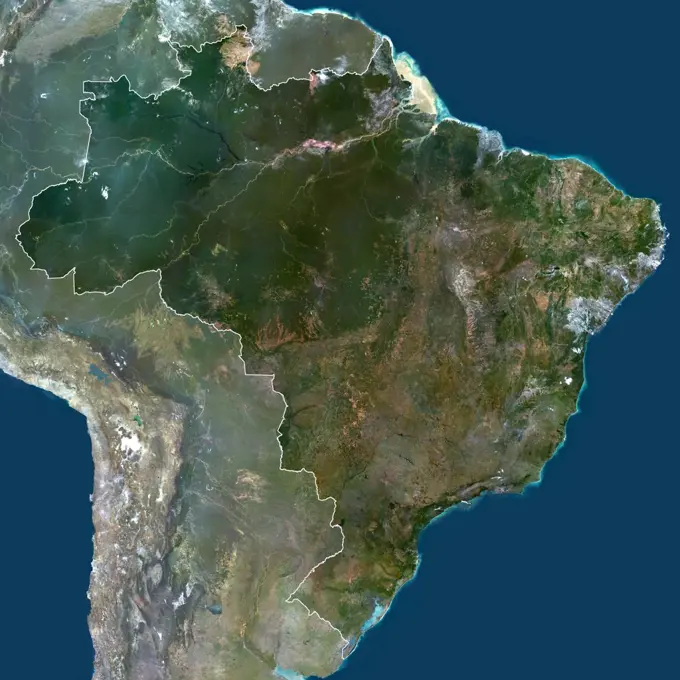
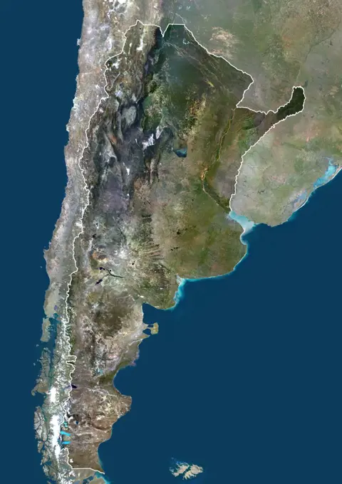
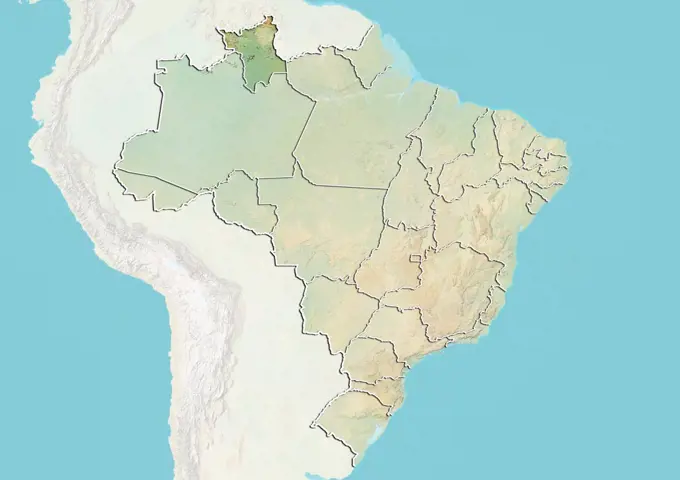
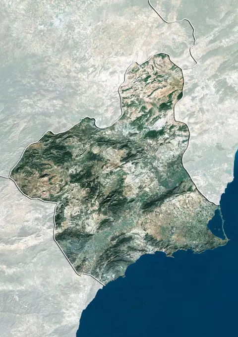
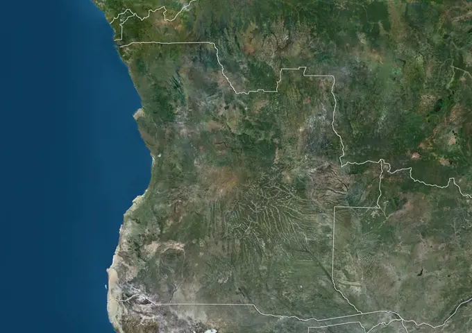
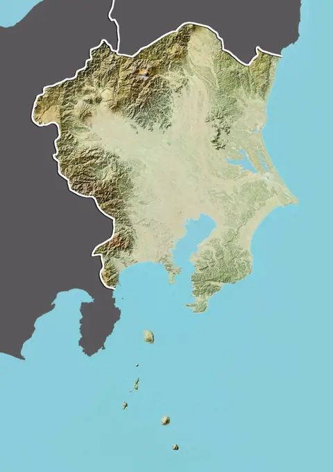
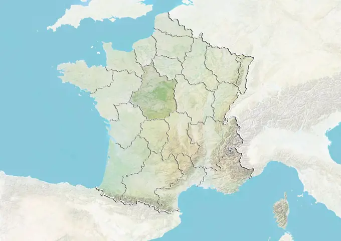
Satellite Maps of South AmericaColorful satellite images and relief maps of multiple South American countries, showcasing geographical features and borders. Color satellite image of Colombia, with borders and mask. 113 assets in this story1899-535177461899-797141899-804251899-535177951899-809951899-804101899-804641899-810701899-810011899-804731899-804401899-804551899-802691899-810221899-804071899-801631899-804661899-810761899-804451899-810821899-801761899-810371899-810201899-810301899-804241899-353851899-810501899-804691899-817341899-535178911899-669481899-821881899-535182181899-805561899-799011899-353831899-810911899-804061899-350941899-810071899-212900201899-535176801899-821481899-805831899-810571899-535178921899-535177931899-810771899-212896211899-668601899-359151899-809991899-350951899-801171899-535181501899-535177451899-350931899-805731899-807031899-810601899-535176881899-817561899-810721899-805371899-805471899-815311899-810481899-350541899-805601899-804751899-819041899-810471899-535181481899-804051899-805791899-807061899-810921899-821841899-810661899-803681899-804621899-535179181899-212895121899-810631899-816381899-535178461899-352531899-804561899-806841899-807471899-801651899-807501899-669311899-667141899-807011899-817461899-823201899-806831899-535177861899-80725 PREVIOUS of 2 NEXT