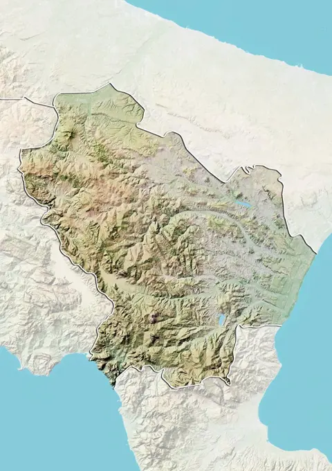
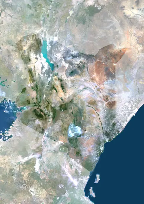
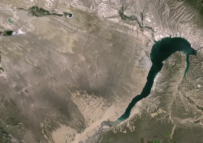
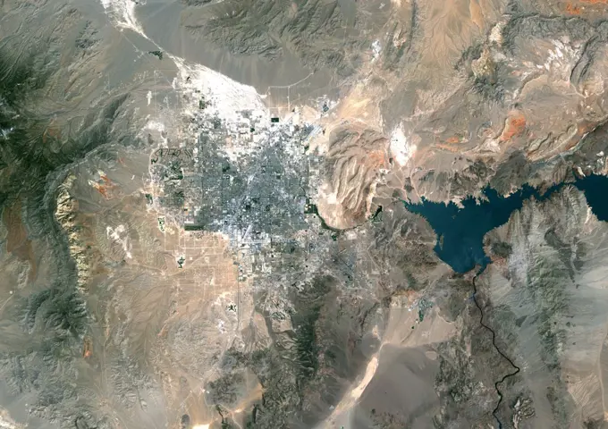
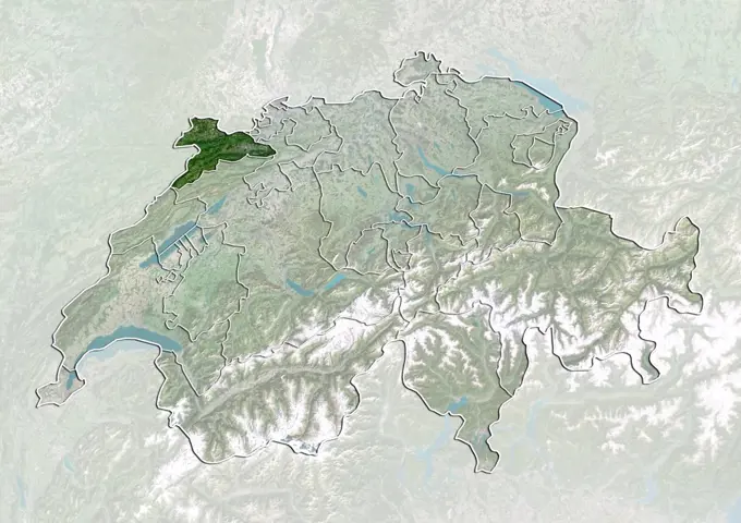
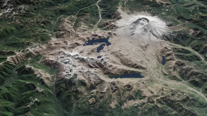
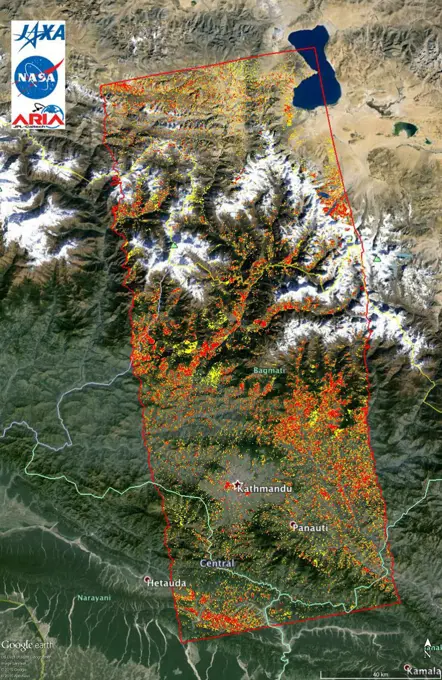
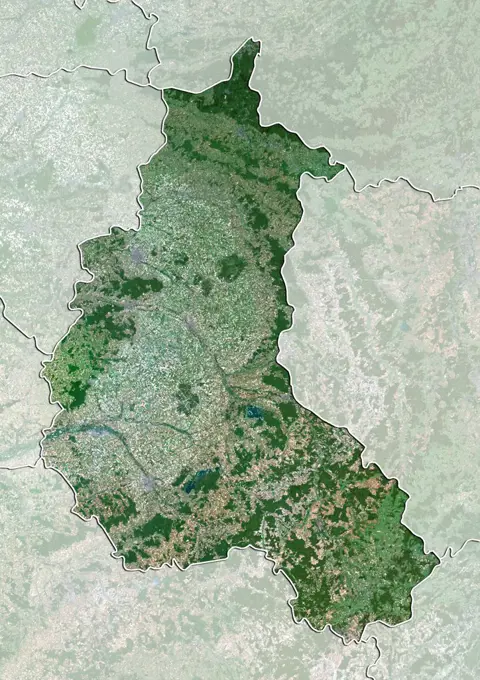
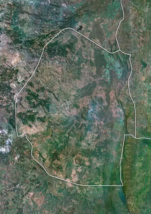
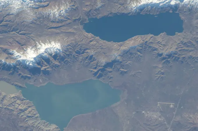
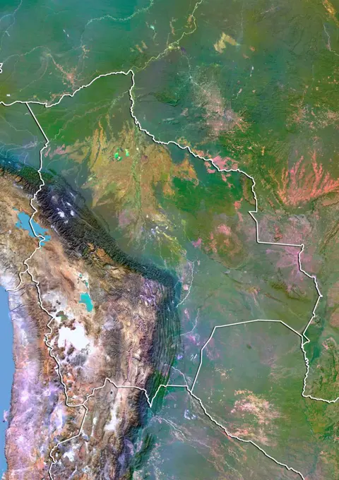
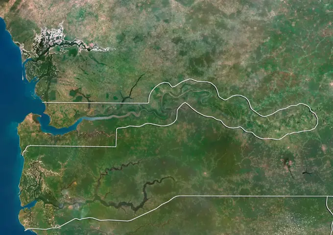
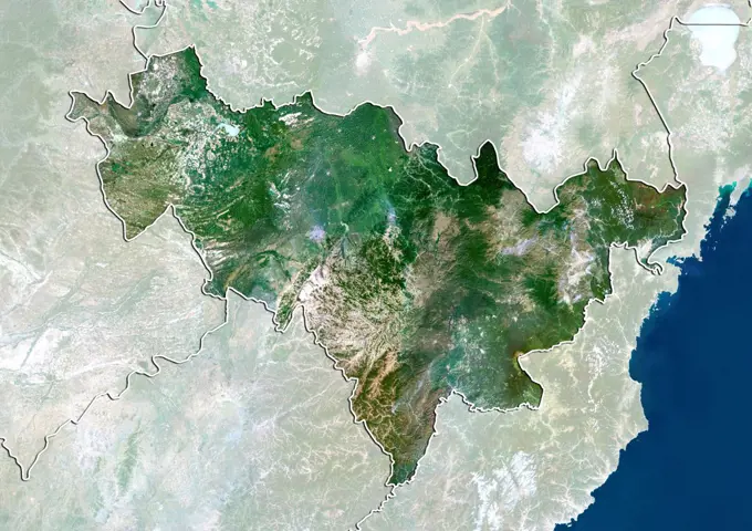
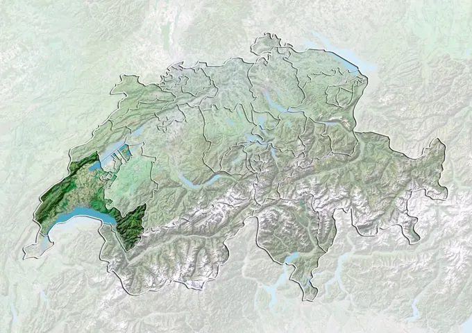
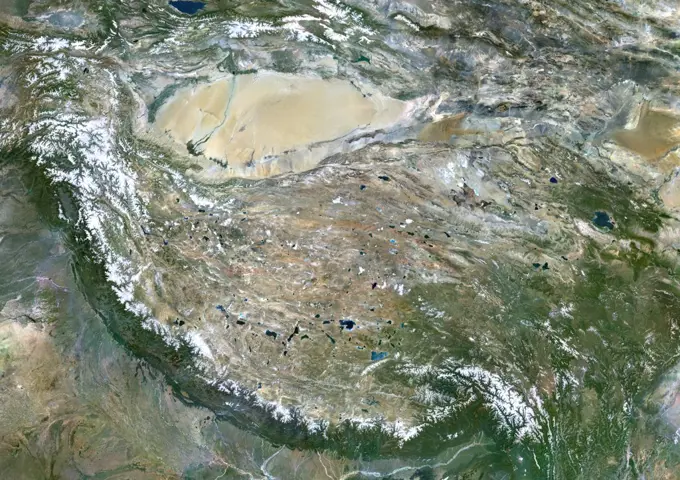
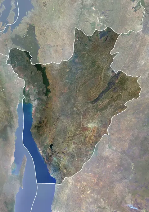
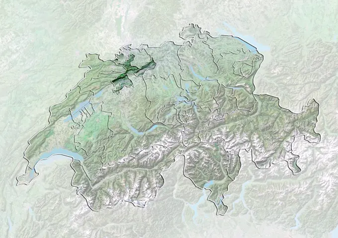
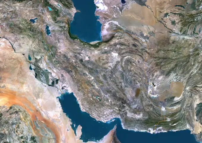
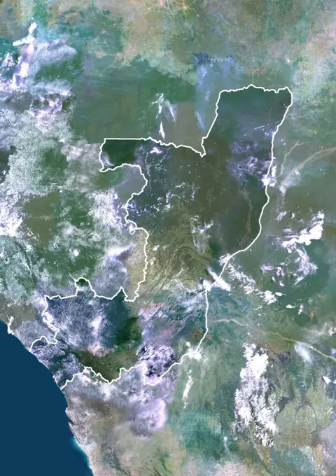
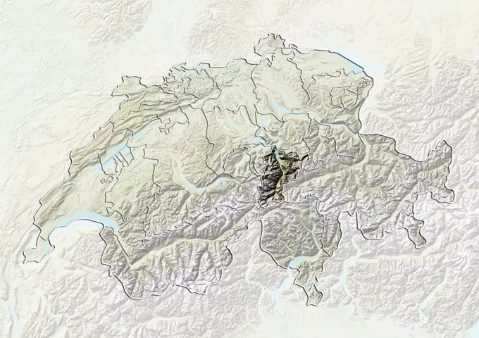
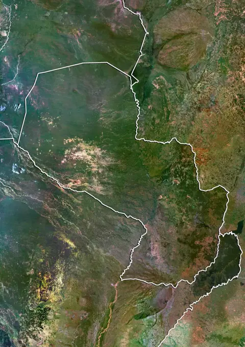
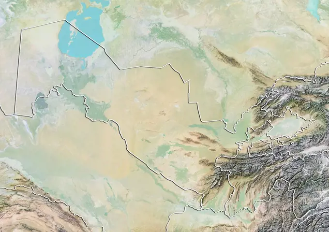
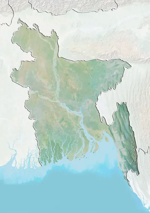
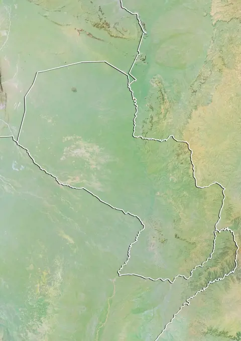
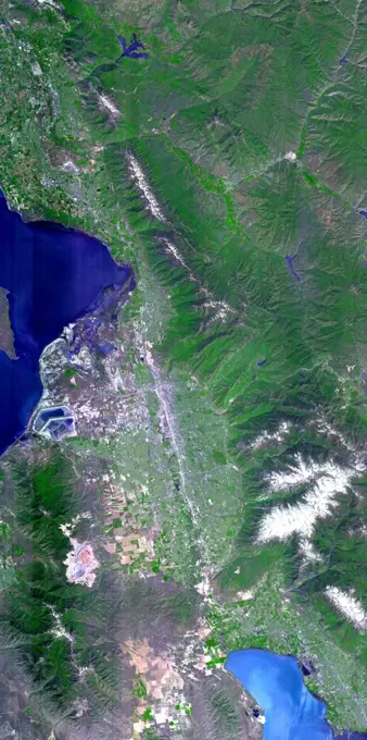
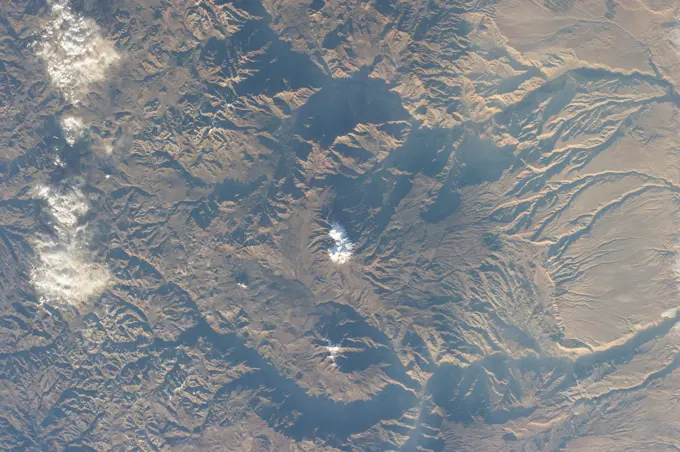
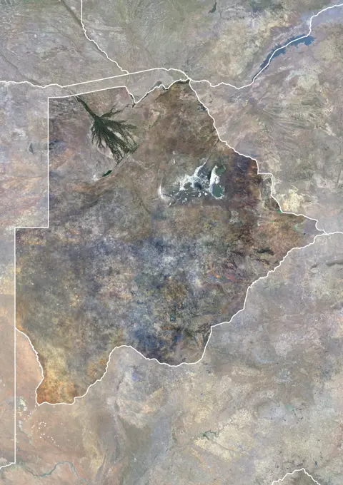
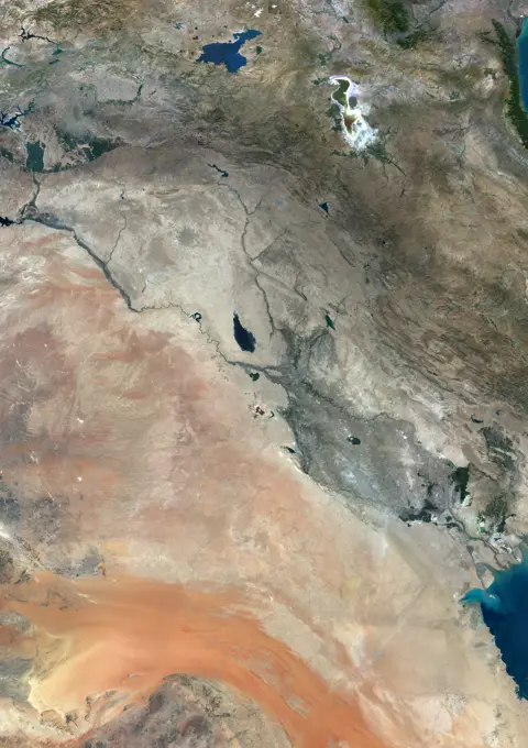
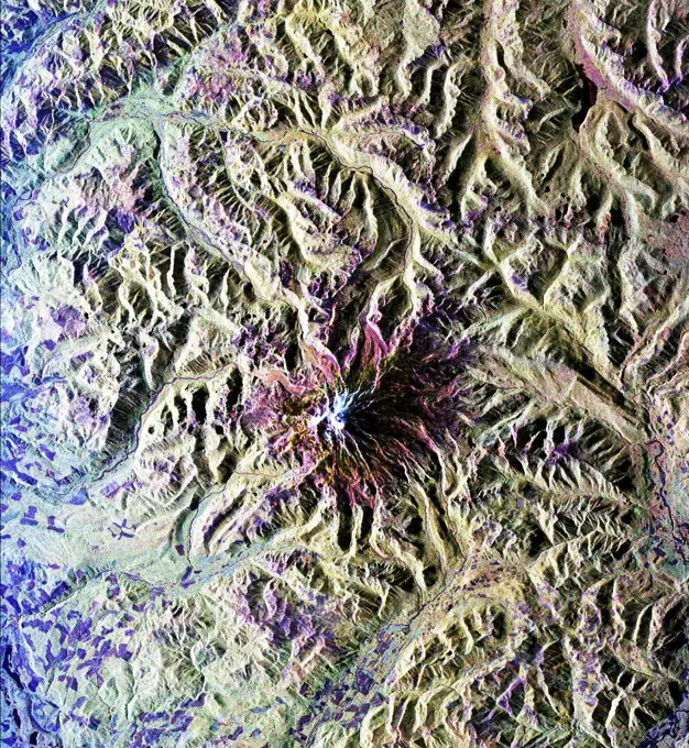
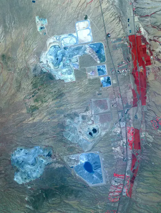
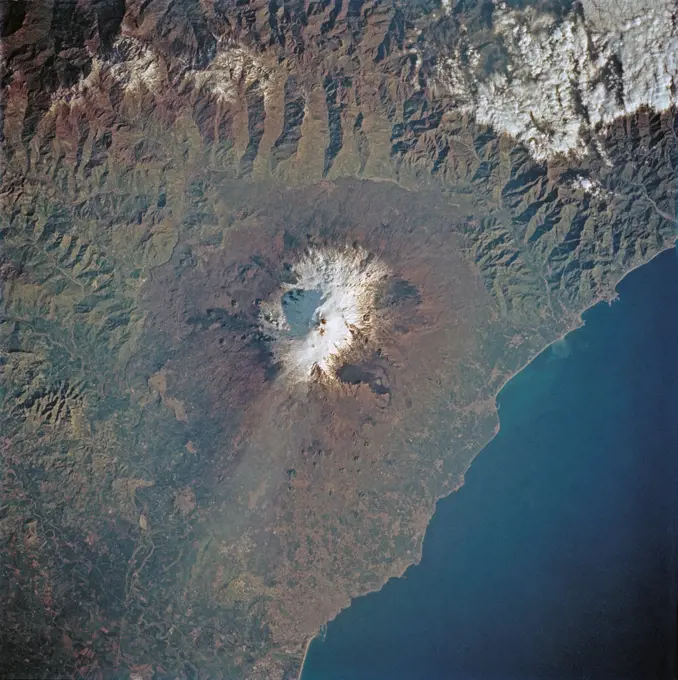
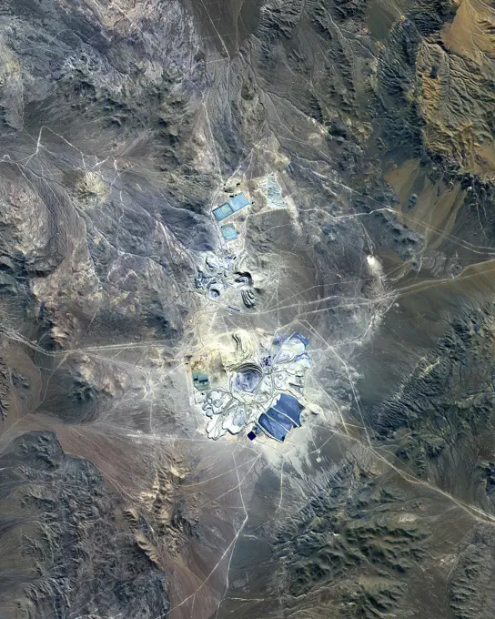
Satellite Views of European Regions

True color satellite images showing borders and landscapes of various European countries, including forests, rivers, and mountainous areas.

Color satellite image of Mongolia, with borders and mask.
Satellite view of Australian Capital Territory, Australia. This image was compiled from data acquired by LANDSAT 5 & 7 satellites.Relief map of the region of Basilicata, Italy. This image was compiled from data acquired by LANDSAT 5 & 7 satellites combined with elevation data.Satellite view of Burgundy, France. This image was compiled from data acquired by LANDSAT 5 & 7 satellites.Satellite view of Nepal (with border). This image was compiled from data acquired by LANDSAT 5 & 7 satellites.Kenya, Africa, True Colour Satellite Image With Mask. Satellite view of Kenya (with mask). This image was compiled from data acquired by LANDSAT 5 & 7 satellites.Color satellite image of Longyangxia Dam Reservoir in Chinas western province of Qinghai in 1987. This image was taken before the construction of Longyangxia Dam Solar Park north of the reservoir.Las Vegas, Nevada, Us, In 2000, True Colour Satellite Image. True colour satellite image of Las Vegas, Nevada, US. Image taken on 3 May 2000, using LANDSAT data.Relief map of Albania (with border and mask). This image was compiled from data acquired by landsat 5 & 7 satellites combined with elevation data.Satellite view of Switzerland showing the canton of Jura. This image was compiled from data acquired by LANDSAT 5 & 7 satellites.Relief map of the region of Friuli-Venezia Giulia, Italy. This image was compiled from data acquired by LANDSAT 5 & 7 satellites combined with elevation data.Satellite view of Switzerland with bump effect, showing the canton of Saint Gallen. This image was compiled from data acquired by LANDSAT 5 & 7 satellites combined with elevation data.Pakistan, Asia, True Colour Satellite Image With Mask. Satellite view of Pakistan (with mask). This image was compiled from data acquired by LANDSAT 5 & 7 satellites.Color satellite image of Uzbekistan and neighbouring countries.Relief map of Malawi (with border). This image was compiled from data acquired by LANDSAT 5 & 7 satellites combined with elevation data.Satellite view of Tajikistan with Bump Effect (with border and mask). This image was compiled from data acquired by LANDSAT 5 & 7 satellites.Site of the Mount St Helens Volcanic eruption, as it appeared in 2015. On May 18, 1980, a major volcanic eruption occurred at Mount St. Helens, a volcano located in the state of Washington, United States. The eruption (a VEI 5 event) was the only significant volcanic eruption to occur in the contiguous 48 U.S. states since the 1915 eruption of Lassen Peak in California.1 However, it has often been declared as the most disastrous volcanic eruption in United States historyEarth Observations taken by Expedition 34 crewmember.Relief map of Rwanda (with border and mask). This image was compiled from data acquired by landsat 5 & 7 satellites combined with elevation data.NASA data and expertise are providing valuable information for the ongoing response to the April 25, 2015, magnitude 7.8 Gorkha earthquake in Nepal.Earth observation taken during a day pass by the Expedition 37 crew.Satellite view of Champagne-Ardenne, France. This image was compiled from data acquired by LANDSAT 5 & 7 satellites.Satellite view of Swaziland (with border). This image was compiled from data acquired by LANDSAT 5 & 7 satellites.Color satellite image of Rwanda, with borders and mask.Color satellite image of Kumming, the capital and largest city of Yunnan province, China. Image collected on January 12, 2020 by Sentinel-2 satellites.. iss068e053809 (Feb. 14, 2023) - The southern coast of Turkey on the Mediterranean Sea near Syria is pictured from the International Space Station as it orbited 264 miles above.Earth Observations taken by Expedition 34 crewmember.Satellite view of Bolivia with Bump Effect (with border). This image was compiled from data acquired by LANDSAT 5 & 7 satellites.Color satellite image of Windhoek, capital city of Namibia. Image collected on June 26, 2017 by Sentinel-2 satellites.Satellite view of Gambia (with border). This image was compiled from data acquired by LANDSAT 5 & 7 satellites.Satellite view of the province of Jilin, China. This image was compiled from data acquired by LANDSAT 5 & 7 satellites.Satellite view of Switzerland with bump effect, showing the canton of Vaud. This image was compiled from data acquired by LANDSAT 5 & 7 satellites combined with elevation data.Relief map of Djibouti (with border). This image was compiled from data acquired by LANDSAT 5 & 7 satellites combined with elevation data.The white ring around Lake Powell tells the story. The surface is down 98 feet. This is critical, because Powell, Lake Mead, and other lakes along the Colorado River provide water for millions of people in five states. Image from NASA's Terra satellite.Moldova, Europe, True Colour Satellite Image With Mask. Satellite view of Moldova (with mask). This image was compiled from data acquired by LANDSAT 5 & 7 satellites.Tibet, China, True Colour Satellite Image. Tibet, People's Republic of China, true colour satellite image. This image was compiled from data acquired by LANDSAT 5 & 7 satellites.Color satellite image of Burundi, with borders and mask. The country is in the Great Rift Valley. Lake Tanganyika lies along its southwestern border.Satellite view of Swaziland (with country boundaries). This image was compiled from data acquired by Landsat satellites.Satellite view of Switzerland with bump effect, showing the canton of Solothurn. This image was compiled from data acquired by LANDSAT 5 & 7 satellites combined with elevation data.Iran, Middle East, Asia, True Colour Satellite Image With Border. Satellite view of Iran (with border). This image was compiled from data acquired by LANDSAT 5 & 7 satellites.Congo, Africa, True Colour Satellite Image With Border And Mask. Satellite view of the Congo - Brazzaville (with border and mask). This image was compiled from data acquired by LANDSAT 5 & 7 satellites.Satellite view of Botswana (with border). This image was compiled from data acquired by LANDSAT 5 & 7 satellites.Relief map of Switzerland showing the canton of Uri. This image was compiled from data acquired by LANDSAT 5 & 7 satellites combined with elevation data.The Red Sea golf resort in Sharm El Sheik, Egypt stands out against the desert landscape in this image acquired NASA's Terra satellite on August 25, 2000.Relief map of the district of Viseu, Portugal. This image was compiled from data acquired by LANDSAT 5 & 7 satellites combined with elevation data.The Livermore and Spring Ranch fires near the Davis Mountain Resort, Texas, burned 13,000 and 11,000 acres respectively. When NASA's Terra spacecraft acquired this image on May 12, 2012, both fires had been contained.Satellite view of the State of Rhineland-Palatinate, Germany. This image was compiled from data acquired by LANDSAT 5 & 7 satellites.Pando Province, Bolivia, and adjacent parts of Brazil and Peru are seen in this visualization of NASA's Shuttle Radar Topography Mission (SRTM) elevation data covering part of the Amazon Basin.Satellite view of Paraguay (with border). This image was compiled from data acquired by LANDSAT 5 & 7 satellites.Relief map of Uzbekistan (with border). This image was compiled from data acquired by LANDSAT 5 & 7 satellites combined with elevation data.Satellite view of the province of Liaoning, China. This image was compiled from data acquired by LANDSAT 5 & 7 satellites.Satellite view of Cameroon (with country boundaries). This image was compiled from data acquired by Landsat satellites.Satellite view of the State of Hesse, Germany. This image was compiled from data acquired by LANDSAT 5 & 7 satellites.ISS044E044204 (08/07/2015) --- NASA astronaut Scott Kelly, on board the International Space Station, took this interesting picture of the Himalayas on Aug 7, 2015 and sent it out as a twitter with these comments: " #Himalayas in #EarthArt form look a bit like funnel cake. #YearInSpace".Satellite view of the State of Mississippi, United States. This image was compiled from data acquired by LANDSAT 5 & 7 satellites.The 2002 Winter Olympics were hosted by Salt Lake City at several venues within the city, in nearby cities, and within the adjacent Wasatch Mountains. NASA's Terra satellite captured this image on May 28, 2000.iss064e000624 (Oct. 26, 2020) --- Glen Canyon National Recreation Area and Lake Powell is pictured from the International Space Station as it orbited above Utah in North America.Satellite view of Uganda (with country boundaries). This image was compiled from data acquired by Landsat satellites.Satellite view of Switzerland with bump effect, showing the canton of Glarus. This image was compiled from data acquired by LANDSAT 5 & 7 satellites combined with elevation data.3D satellite image of the Caspian Sea. Relief map of Bangladesh (with border and mask). This image was compiled from data acquired by landsat 5 & 7 satellites combined with elevation data.The white, mottled area in the right-center of this image from NASA's Shuttle Radar Topography Mission (SRTM) is Madrid, the capital of Spain.Pinatubo Volcano, Philippines, True Colour Satellite Image. Mount Pinatubo, Philippines, true colour satellite image. Mount Pinatubo (1486m) is in the Philippines. The 2,5km-wide caldera formed after the 1991 eruption is today filled with a lake. Composite image dated 01/11/2001 and 26/11/2001 using LANDSAT data. Print size 30 x 30 cm.Relief map of Paraguay (with border). This image was compiled from data acquired by LANDSAT 5 & 7 satellites combined with elevation data.Earth Observation taken during a day pass by the Expedition 40 crew aboard the International Space Station (ISS). Folder lists items in this group as Chile Atacama Bolivia Andes and active volcano.Satellite view of Canberra and the Australian Capital Territory, Australia (with administrative boundaries). Canberra is the capital city of Australia. This image was compiled from data acquired by Landsat 8 satellite in 2014.The 2002 Winter Olympics, hosted by Salt Lake City. View of north central Utah that includes all of the Olympic sites. May 28, 2000. Satellite image.ISS015-E-08879 (18 May 2007) --- An evaporation pond near the Colorado River in Utah is featured in this image photographed by an Expedition 15 crewmember on the International Space Station.Color satellite image of Columbia glacier in 1986.Earth Observation taken during a day pass by the Expedition 40 crew aboard the International Space Station (ISS). Folder lists items in this group as Chile Atacama Bolivia Andes and active volcano.Earth observation taken during a day pass by an Expedition 36 crew member on board the International Space Station (ISS).The striking contrast of geologic structures in Africa is shown in this shaded relief image of Mt. Elgon on the left and a section of the Great Rift Valley on the right.Mount St Helens In 3D, North West View, Washington State, Usa, True Colour Satellite Image. Mount St-Helens, USA, true colour satellite image. North-West view of Mount St-Helens in 3D, an active volcano (2250m high) in Washington State, US. Image using LANDSAT data. Print size 30 x 30 cm.Color satellite image of Botswana, with borders and mask.Color satellite image of the Jinsha River in 1987 and 2022, before and after the construction of the Baihetan Dam. The image shows the Jinsha River, an upper stretch of the Yangtze River in Sichuan and Yunnan provinces, in southwest China.Relief map of the State of Montana, United States. This image was compiled from data acquired by LANDSAT 5 & 7 satellites combined with elevation data.Color satellite image of Iraq and neighbouring countries.Color satellite image of Liechtenstein, with borders and mask.NASA's Earth Surface Mineral Dust Source Investigation (EMIT) detected a cluster of 12 methane plumes on Sept. 1, 2022, in an approximately 150-square-mile (400-square-kilometer) region of southern Uzbekistan. Methane is a potent greenhouse gas about 80 times more effective at trapping heat than carbon dioxide during the time methane spends in the atmosphere, which is typically about a decade. This an area no NASA airborne imaging spectrometers have covered. Whereas EMIT captured the scene in an instant, an airborne campaign might have taken about 65 hours of flight time to cover the same amount of land. The blue shading covers the area captured by EMIT in one scene, which is 50 miles by 50 miles (80 kilometers by 80 kilometers). The emissions total about 49,734 pounds (22,559 kilograms) per hour. EMIT uses an imaging spectrometer to detect the unique pattern of reflected and absorbed light - called a spectral fingerprint - from various materials on Earth's surface and in its atmospherLandsat Image of the Novarupta / Katmai Area - 1990Site of the Mount St Helens Volcanic eruption, as it appeared in 2005. On May 18, 1980, a major volcanic eruption occurred at Mount St. Helens, a volcano located in the state of Washington, United States. The eruption (a VEI 5 event) was the only significant volcanic eruption to occur in the contiguous 48 U.S. states since the 1915 eruption of Lassen Peak in California.1 However, it has often been declared as the most disastrous volcanic eruption in United States historyRelief map of the State of Thuringia, Germany. This image was compiled from data acquired by LANDSAT 5 & 7 satellites combined with elevation data.Sochi, Russia Winter Olympic Sites (Coastal Cluster)The Black Sea resort of Sochi, Russia, is the warmest city ever to host the Winter Olympic Games, which open on Feb. 7, 2014, and run through Feb. 23. This north-looking image, acquired on Jan. 4, 2014, by the Advanced Spaceborne Thermal Emission and Reflection Radiometer (ASTER) instrument on NASA's Terra spacecraft, shows the Sochi Olympic Park Coastal Cluster -- the circular area on the shoreline in the bottom center of the image -- which was built for Olympic indoor sports. Even curling has its own arena alongside multiple arenas for hockey and skating. The Olympic alpine events will take place at the Mountain Cluster, located in a snow-capped valley at the top right of the image. Sochi itself, a city of about 400,000, is not visible in the picture. It's farther west (left) along the coast, past the airport at bottom left.In the image, red indicates vegetation, white is snow, buildings are gray and the ocean is dark blue. The aSatellite view of Syr Daria River, Kazakhstan. This image was compiled from data acquired in 2014 by Landsat 8 satellite.Colour satellite image of Muscat, Oman. Image taken on December 27, 2013 with Landsat 8 data. Relief map of the State of Utah, United States. This image was compiled from data acquired by LANDSAT 5 & 7 satellites combined with elevation data.This elevation map shows a part of the southern coast of the Arabian Peninsula including parts of the countries of Oman and Yemen. The narrow coastal plain on the right side of the image includes the city of Salahlah, the second largest city in Oman.iss063e053023 (July 22, 2020) --- Lake Tititcaca, pictured from the International Space Station as it orbited off the Pacific coast of South America, is located between the nations of Peru and Bolivia in the Andes Mountains and is one of the highest navigable lakes in the world.Color satellite image of Montenegro and neighbouring countries.Satellite view of Las Vegas, Nevada, USA in 1975 and 2013. This before and after image shows urban expansion over the years. Site of the Mount St Helens Volcanic eruption, as it appeared in 1990. On May 18, 1980, a major volcanic eruption occurred at Mount St. Helens, a volcano located in the state of Washington, United States. The eruption (a VEI 5 event) was the only significant volcanic eruption to occur in the contiguous 48 U.S. states since the 1915 eruption of Lassen Peak in California.1 However, it has often been declared as the most disastrous volcanic eruption in United States historySatellite view of Bangladesh and Northeast India (with administrative boundaries). It covers the Seven Sister States and the Himalayan state of Sikkim. This image was compiled from data acquired by Landsat 8 satellite in 2014.Color satellite image of Israel and the Palestinian Territories, with borders.Color satellite image of Iran and neighbouring countries.This is a radar image of Mount Rainier in Washington state. The volcano last erupted about 150 years ago and numerous large floods and debris flows have originated on its slopes during the last century.Although Japans Sakura-jima volcano is one of the most active in the world, it rarely makes headlines. One or two small explosions typically occur every few days, with effects no greater than a light dusting of ash on the surrounding cities. On August 18, 2013, a large eruption sent ash 20,000 feet (6,000 meters) above Kagoshima Bay, breaking the established pattern. It was possibly the largest eruption ever from the Showa Crater, which formed in 1946. NASA Earth Observatory images by Jesse Allen and Robert Simmon, using Landsat 8 data from the USGS Earth Explorer. Caption by Robert Simmon. Instrument Landsat 8 - OLI More details a href= http //1.usa.gov/19WQpBQ rel= nofollow 1.usa.gov/19WQpBQ /a b a href= http //www.nasa.gov/audience/formedia/features/MP_Photo_Guidelines.html rel= nofollow NASA image use policy. /a /b b a href= http //www.nasa.gov/centers/goddard/home/index.html rel= nofollow NASA Goddard Space Flight Center /a /b enables NASAs mission through four scientific endeavArizona produces 60% of the total copper mined in the US; in 2007, 750,000 tons of copper came out of the state. One of the major mining districts is located about 30 km south of Tucson. Starting around 1950, open-pit mining replaced underground operations, and the ASARCO-Mission complex, Twin Buttes, and Sierrita mines became large open pit operations. Accompanying copper mineralization, silver, molybdenum, zinc, lead and gold are extracted. In addition to the pits themselves, enormous leach ponds and tailings piles surround the pits. The image was acquired May 31, 2012, covers an area of 22 by 28 km, and is located at 31.9 degrees north, 111 degrees west. With its 14 spectral bands from the visible to the thermal infrared wavelength region and its high spatial resolution of 15 to 90 meters (about 50 to 300 feet), ASTER images Earth to map and monitor the changing surface of our planet. ASTER is one of five Earth-observing instruments launched Dec. 18, 1999, on Terra. The instrument w(4-18 March 1994) --- A thin plume of steam blows southward from the summit of Mt. Etna, the active volcano on the island of Sicily. The summit is capped with snow but the dark lava flow along the eastern flank (the 1991-93 flow) is clearly visible. The coastal city south of Etna is Catania.. This image from of Mt. Vesuvius Italy was acquired September 26, 2000, and covers an area of 36 by 45 km. Vesuvius overlooks the city of Naples and the Bay of Naples in central Italy.Iran, Middle East, Asia, True Colour Satellite Image With Mask. Satellite view of Iran (with mask). This image was compiled from data acquired by LANDSAT 5 & 7 satellites.Satellite view of Chad (with border and mask). This image was compiled from data acquired by LANDSAT 5 & 7 satellites.