My Boards
View Pictures
  • My Boards

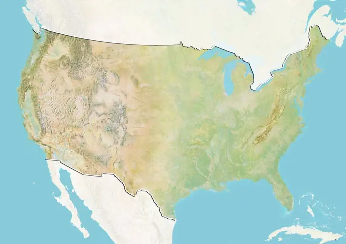
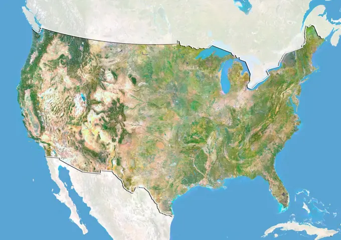
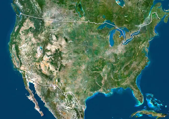
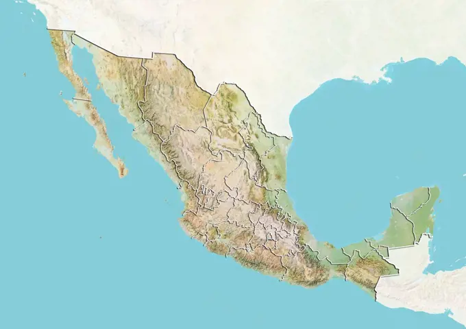
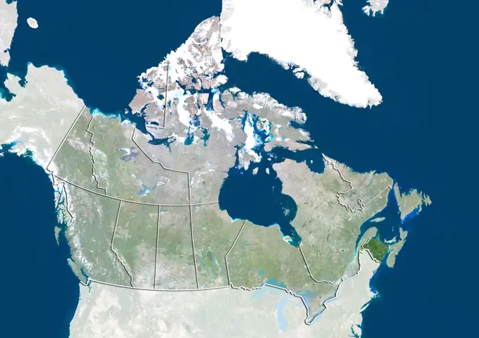
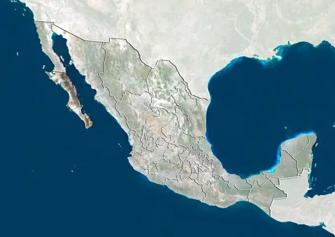
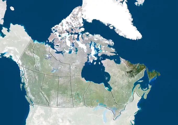
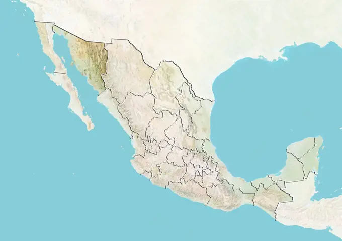
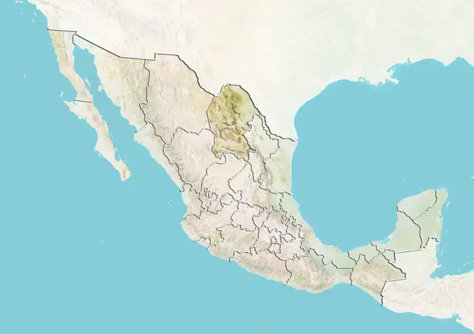
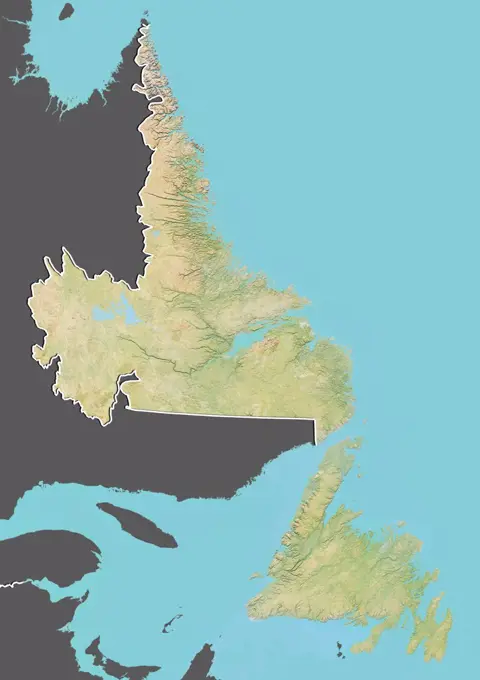
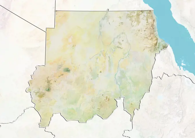
Satellite Views of the USA

Satellite imagery focusing on various states in the USA, illustrating geographical features and terrain from a bird's-eye view.

Satellite view of the United States with bump effect and state boundaries. This image was compiled from data acquired by LANDSAT 5 & 7 satellites.
110 assets in this story
1899-81228
Satellite view of the United States showing the State of Illinois. This image was compiled from data acquired by LANDSAT 5 & 7 satellites.
1899-81240
Satellite view of the United States showing the State of Kentucky. This image was compiled from data acquired by LANDSAT 5 & 7 satellites.
1899-81260
Satellite view of the United States with bump effect, showing the State of Montana. This image was compiled from data acquired by LANDSAT 5 & 7 satellites combined with elevation data.
1899-81249
Satellite view of the United States showing the State of Maryland. This image was compiled from data acquired by LANDSAT 5 & 7 satellites.
1899-81267
Satellite view of the United States showing the State of Nevada. This image was compiled from data acquired by LANDSAT 5 & 7 satellites.
1899-81237
Satellite view of the United States showing the State of Kansas. This image was compiled from data acquired by LANDSAT 5 & 7 satellites.
1899-81233
Satellite view of the United States with bump effect, showing the State of Iowa. This image was compiled from data acquired by LANDSAT 5 & 7 satellites combined with elevation data.
1899-81207
Satellite view of the United States showing the State of Arkansas. This image was compiled from data acquired by LANDSAT 5 & 7 satellites.
1899-81464
Satellite view of the United States with bump effect and state boundaries. This image was compiled from data acquired by LANDSAT 5 & 7 satellites.
1899-81434
Satellite view of the United States with bump effect, showing the State of Tennessee. This image was compiled from data acquired by LANDSAT 5 & 7 satellites combined with elevation data.
1899-81422
Satellite view of the United States with bump effect, showing the State of Oregon. This image was compiled from data acquired by LANDSAT 5 & 7 satellites combined with elevation data.
1899-81293
Satellite view of the United States with bump effect, showing the State of Oregon. This image was compiled from data acquired by LANDSAT 5 & 7 satellites combined with elevation data.
1899-81455
Satellite view of the United States with bump effect, showing the State of Western Virginia. This image was compiled from data acquired by LANDSAT 5 & 7 satellites combined with elevation data.
1899-66857
Relief map of the United States (with border and mask). This image was compiled from data acquired by landsat 5 & 7 satellites combined with elevation data.
1899-81440
Satellite view of the United States with bump effect, showing the State of Mississippi. This image was compiled from data acquired by LANDSAT 5 & 7 satellites combined with elevation data.
1899-81319
Relief map of the United States showing the State of Vermont. This image was compiled from data acquired by LANDSAT 5 & 7 satellites combined with elevation data.
1899-81337
Relief map of the United States with state boundaries. This image was compiled from data acquired by LANDSAT 5 & 7 satellites combined with elevation data.
1899-81352
Relief map of the United States showing the State of California. This image was compiled from data acquired by LANDSAT 5 & 7 satellites combined with elevation data.
1899-81383
Satellite view of the United States with bump effect, showing the State of Louisiana. This image was compiled from data acquired by LANDSAT 5 & 7 satellites combined with elevation data.
1899-81428
Satellite view of the United States with bump effect, showing the State of South Carolina. This image was compiled from data acquired by LANDSAT 5 & 7 satellites combined with elevation data.
1899-81364
Relief map of the United States showing the State of Idaho. This image was compiled from data acquired by LANDSAT 5 & 7 satellites combined with elevation data.
1899-81247
Relief map of the United States showing the State of Maryland. This image was compiled from data acquired by LANDSAT 5 & 7 satellites combined with elevation data.
1899-81354
Satellite view of the United States showing the State of California. This image was compiled from data acquired by LANDSAT 5 & 7 satellites.
1899-81650
Relief map of the United States (with border and mask). This image was compiled from data acquired by landsat 5 & 7 satellites combined with elevation data.
1899-81257
Satellite view of the United States with bump effect, showing the State of Minnesota. This image was compiled from data acquired by LANDSAT 5 & 7 satellites combined with elevation data.
1899-81421
Relief map of the United States showing the State of Oregon. This image was compiled from data acquired by LANDSAT 5 & 7 satellites combined with elevation data.
1899-81361
Relief map of the United States showing the State of Georgia. This image was compiled from data acquired by LANDSAT 5 & 7 satellites combined with elevation data.
1899-81289
Relief map of the United States showing the State of Oklahoma. This image was compiled from data acquired by LANDSAT 5 & 7 satellites combined with elevation data.
1899-81232
Relief map of the United States showing the State of Iowa. This image was compiled from data acquired by LANDSAT 5 & 7 satellites combined with elevation data.
1899-81445
Relief map of the United States showing the State of Utah. This image was compiled from data acquired by LANDSAT 5 & 7 satellites combined with elevation data.
1899-81448
Relief map of the United States showing the State of Virginia. This image was compiled from data acquired by LANDSAT 5 & 7 satellites combined with elevation data.
1899-80361
Relief map of The United States (with border and mask). This image was compiled from data acquired by landsat 5 & 7 satellites combined with elevation data.
1899-81426
Satellite view of the United States showing the State of Pennsylvania. This image was compiled from data acquired by LANDSAT 5 & 7 satellites.
1899-81259
Relief map of the United States showing the State of Montana. This image was compiled from data acquired by LANDSAT 5 & 7 satellites combined with elevation data.
1899-81381
Satellite view of the United States showing the State of Kentucky. This image was compiled from data acquired by LANDSAT 5 & 7 satellites.
1899-81338
Satellite view of the United States with bump effect. This image was compiled from data acquired by LANDSAT 5 & 7 satellites combined with elevation data.
1899-81203
Satellite view of the United States with bump effect, showing the State of Arizona. This image was compiled from data acquired by LANDSAT 5 & 7 satellites combined with elevation data.
1899-81221
Satellite view of the United States with bump effect, showing the State of Georgia. This image was compiled from data acquired by LANDSAT 5 & 7 satellites combined with elevation data.
1899-81328
Relief map of the United States showing the State of Western Virginia. This image was compiled from data acquired by LANDSAT 5 & 7 satellites combined with elevation data.
1899-81429
Satellite view of the United States showing the State of South Carolina. This image was compiled from data acquired by LANDSAT 5 & 7 satellites.
1899-81334
Relief map of the United States showing the State of Wyoming. This image was compiled from data acquired by LANDSAT 5 & 7 satellites combined with elevation data.
1899-81211
Relief map of the United States showing the State of Colorado. This image was compiled from data acquired by LANDSAT 5 & 7 satellites combined with elevation data.
1899-81314
Satellite view of the United States with bump effect, showing the State of Missouri. This image was compiled from data acquired by LANDSAT 5 & 7 satellites combined with elevation data.
1899-81322
Relief map of the United States showing the State of Virginia. This image was compiled from data acquired by LANDSAT 5 & 7 satellites combined with elevation data.
1899-81431
Satellite view of the United States with bump effect, showing the State of South Dakota. This image was compiled from data acquired by LANDSAT 5 & 7 satellites combined with elevation data.
1899-80363
Satellite view of The United States with Bump Effect (with border and mask). This image was compiled from data acquired by LANDSAT 5 & 7 satellites.
1899-81438
Satellite view of the United States showing the State of Texas. This image was compiled from data acquired by LANDSAT 5 & 7 satellites.
1899-21290012
Satellite view of  Western United States (with administrative boundaries). This image was compiled from data acquired by Landsat satellites.
1899-80612
Relief map of Canada showing the province of Quebec. This image was compiled from data acquired by LANDSAT 5 & 7 satellites combined with elevation data.
1899-80589
Satellite view of Canada with bump effect, showing the province of British Columbia. This image was compiled from data acquired by LANDSAT 5 & 7 satellites combined with elevation data.
1899-80366
Satellite view of The United States (with border). This image was compiled from data acquired by LANDSAT 5 & 7 satellites.
1899-80609
Relief map of Canada showing the province of Ontario. This image was compiled from data acquired by LANDSAT 5 & 7 satellites combined with elevation data.
1899-80597
Relief map of Canada showing the province of Newfoundland and Labrador. This image was compiled from data acquired by LANDSAT 5 & 7 satellites combined with elevation data.
1899-21289836
Satellite view of North America in winter, with partial snow cover (with country boundaries). This image was compiled from data acquired by Landsat 7 & 8 satellites.
1899-53518082
Color satellite image of Myanmar, with mask.
1899-81526
Relief map of Canada (with border and mask). This image was compiled from data acquired by landsat 5 & 7 satellites combined with elevation data.
1899-35649
Globe Showing Northern America, True Colour Satellite Image. True colour satellite image of the Earth showing Greenland, the North Pole and Northern America. This image in orthographic projection was compiled from data acquired by LANDSAT 5 & 7 satellites.
1899-66984
Relief map of the State of Pennsylvania, United States. This image was compiled from data acquired by LANDSAT 5 & 7 satellites combined with elevation data.
1899-35211
Canada, North America, True Colour Satellite Image With Border And Mask. Satellite view of Canada (with border and mask). This image was compiled from data acquired by LANDSAT 5 & 7 satellites.
1899-80601
Satellite view of Canada with bump effect, showing the Northwest Territories. This image was compiled from data acquired by LANDSAT 5 & 7 satellites combined with elevation data.
1899-82263
Relief map of the State of Massachusetts, United States. This image was compiled from data acquired by LANDSAT 5 & 7 satellites combined with elevation data.
1899-82323
Relief map of the State of South Dakota, United States. This image was compiled from data acquired by LANDSAT 5 & 7 satellites combined with elevation data.
1899-81768
Relief map of British Columbia, Canada. This image was compiled from data acquired by LANDSAT 5 & 7 satellites combined with elevation data.
1899-82281
Relief map of the State of Nebraska, United States. This image was compiled from data acquired by LANDSAT 5 & 7 satellites combined with elevation data.
1899-66967
Relief map of the State of Massachusetts, United States. This image was compiled from data acquired by LANDSAT 5 & 7 satellites combined with elevation data.
1899-82264
Relief map of the State of Massachusetts, United States. This image was compiled from data acquired by LANDSAT 5 & 7 satellites combined with elevation data.
1899-80977
Relief map of Mexico with state boundaries. This image was compiled from data acquired by LANDSAT 5 & 7 satellites combined with elevation data.
1899-80596
Satellite view of Canada showing the province of New Brunswick. This image was compiled from data acquired by LANDSAT 5 & 7 satellites.
1899-82239
Relief map of the State of Illinois, United States. This image was compiled from data acquired by LANDSAT 5 & 7 satellites combined with elevation data.
1899-53517772
Color satellite image of Canada and neighbouring countries.
1899-66877
Relief map of the Yukon, Canada. This image was compiled from data acquired by LANDSAT 5 & 7 satellites combined with elevation data.
1899-82248
Relief map of the State of Kansas, United States. This image was compiled from data acquired by LANDSAT 5 & 7 satellites combined with elevation data.
1899-53517774
Color satellite image of Canada and neighbouring countries.
1899-80930
Satellite view of Mexico showing the State of Chiapas. This image was compiled from data acquired by LANDSAT 5 & 7 satellites.
1899-21290151
North America at night in 2012, showing the United States and Canada. This satellite image with country borders shows urban and industrial lights.
1899-81493
Satellite view of Northeastern United States. This image was compiled from data acquired by LANDSAT 5 & 7 satellites.
1899-82341
Relief map of the State of Washington, United States. This image was compiled from data acquired by LANDSAT 5 & 7 satellites combined with elevation data.
1899-80926
Satellite view of Mexico showing the State of Baja California Sur. This image was compiled from data acquired by LANDSAT 5 & 7 satellites.
1899-80925
Relief map of Mexico showing the State of Baja California Sur. This image was compiled from data acquired by LANDSAT 5 & 7 satellites combined with elevation data.
1899-81783
Relief map of Nova Scotia, Canada. This image was compiled from data acquired by LANDSAT 5 & 7 satellites combined with elevation data.
1899-80599
Satellite view of Canada showing the province of Newfoundland and Labrador. This image was compiled from data acquired by LANDSAT 5 & 7 satellites.
1899-66995
Relief map of the State of Wisconsin, United States. This image was compiled from data acquired by LANDSAT 5 & 7 satellites combined with elevation data.
1899-80965
Relief map of Mexico showing the State of Sonora. This image was compiled from data acquired by LANDSAT 5 & 7 satellites combined with elevation data.
1899-80933
Relief map of Mexico showing the State of Coahuila. This image was compiled from data acquired by LANDSAT 5 & 7 satellites combined with elevation data.
1899-82240
Relief map of the State of Illinois, United States. This image was compiled from data acquired by LANDSAT 5 & 7 satellites combined with elevation data.
1899-81776
Relief map of Newfoundland and Labrador, Canada. This image was compiled from data acquired by LANDSAT 5 & 7 satellites combined with elevation data.
1899-82220
Satellite view of the State of California, United States. This image was compiled from data acquired by LANDSAT 5 & 7 satellites.
1899-81769
Satellite view of British Columbia, Canada. This image was compiled from data acquired by LANDSAT 5 & 7 satellites.
1899-82329
Relief map of the State of Texas, United States. This image was compiled from data acquired by LANDSAT 5 & 7 satellites combined with elevation data.
1899-79657
Relief map of Botswana (with border and mask). This image was compiled from data acquired by landsat 5 & 7 satellites combined with elevation data.
1899-80052
Relief map of Mali (with border). This image was compiled from data acquired by LANDSAT 5 & 7 satellites combined with elevation data.
1899-80483
Relief map of Australia showing the State of South Australia. This image was compiled from data acquired by LANDSAT 5 & 7 satellites combined with elevation data.
1899-82207
Relief map of the State of Alabama, United States. This image was compiled from data acquired by LANDSAT 5 & 7 satellites combined with elevation data.
1899-80275
Relief map of Sudan (with border and mask). This image was compiled from data acquired by landsat 5 & 7 satellites combined with elevation data.
1899-82260
Relief map of the State of Maryland, United States. This image was compiled from data acquired by LANDSAT 5 & 7 satellites combined with elevation data.
6145-29095515
1870 U.S. Coast Survey Map Showing Magnetic Declination in the United States
1899-21290127
Mexico at night in 2012. This satellite image shows urban and industrial lights.
6177-V53835830
4409-28578430
Infographic of the hydrographic characteristics of North and Central America. QuarkXPress (.qxp); Adobe InDesign (.indd); QuarkXPress (.qxd); 3661x5669.
1899-82215
Relief map of the State of Arkansas, United States. This image was compiled from data acquired by LANDSAT 5 & 7 satellites combined with elevation data.
PREVIOUS
of 2
NEXT
2401 S. Ervay, Suite 206
Dallas, Texas 75215
United States
Get Started
Free ResearchMy BoardsMy Cart
For Creators
How To License Your ContentContributor PortalFrame of Mind
Resources
API accessPricing
Contact
+1 866 236 0087help@viewpictures.co.uk Contact form
©2026 View Pictures. All Rights Reserved. -A
This site is protected by reCAPTCHA and Google Privacy Policy and Terms of Service apply.