My Boards
View Pictures
  • My Boards

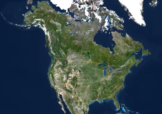
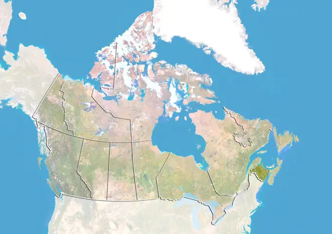
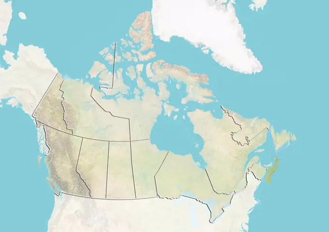
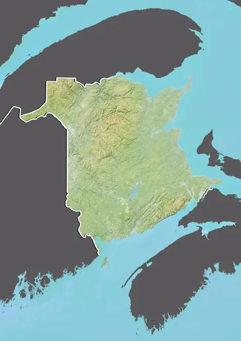
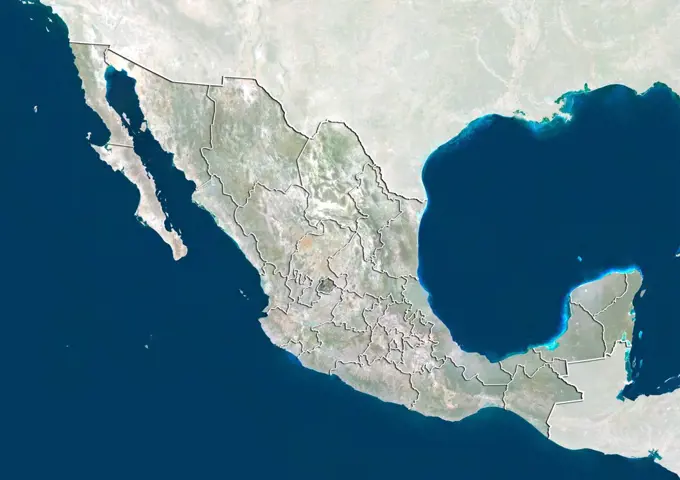
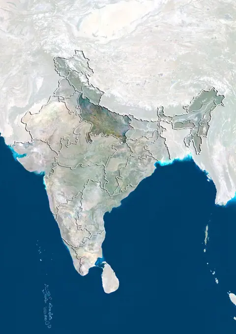
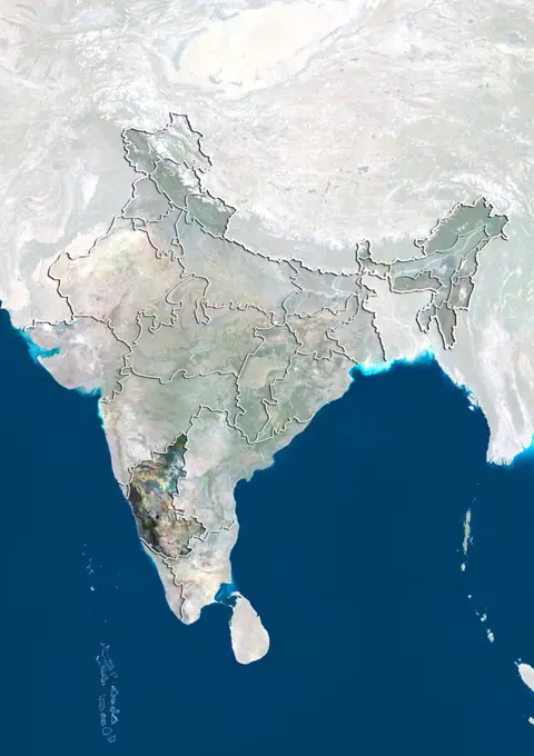
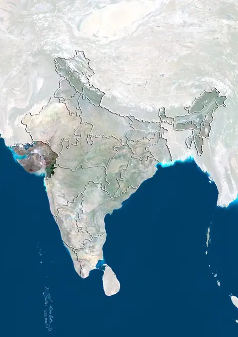
Satellite Views of U.S. States

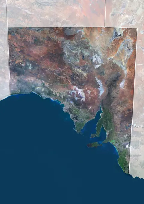
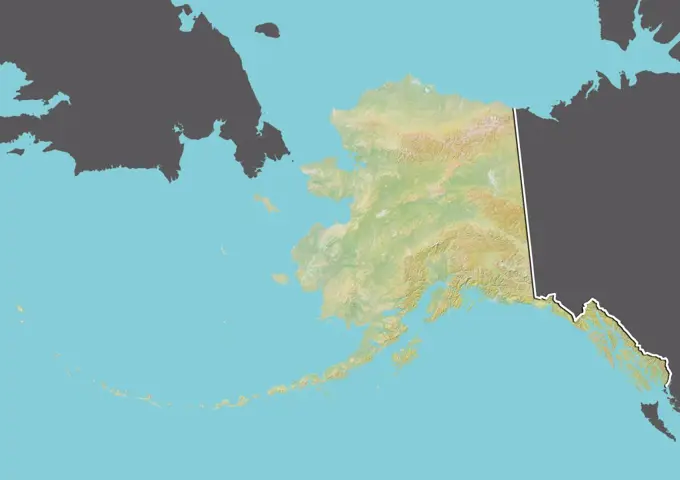
A collection of satellite images showcasing various U.S. states, highlighting geographical features and landscapes with a focus on clarity and detail.

Satellite view of the United States showing the State of Texas. This image was compiled from data acquired by LANDSAT 5 & 7 satellites.
159 assets in this story
1899-81243
Satellite view of the United States showing the State of Louisiana. This image was compiled from data acquired by LANDSAT 5 & 7 satellites.
1899-81234
Satellite view of the United States showing the State of Iowa. This image was compiled from data acquired by LANDSAT 5 & 7 satellites.
1899-81297
Satellite view of the United States showing the State of Pennsylvania. This image was compiled from data acquired by LANDSAT 5 & 7 satellites.
1899-81288
Satellite view of the United States showing the State of Ohio. This image was compiled from data acquired by LANDSAT 5 & 7 satellites.
1899-81326
Satellite view of the United States with bump effect, showing the State of Washington. This image was compiled from data acquired by LANDSAT 5 & 7 satellites combined with elevation data.
1899-81309
Satellite view of the United States showing the State of Texas. This image was compiled from data acquired by LANDSAT 5 & 7 satellites.
1899-81287
Satellite view of the United States with bump effect, showing the State of Ohio. This image was compiled from data acquired by LANDSAT 5 & 7 satellites combined with elevation data.
1899-81215
Satellite view of the United States with bump effect, showing the State of Connecticut. This image was compiled from data acquired by LANDSAT 5 & 7 satellites combined with elevation data.
1899-81263
Satellite view of the United States with bump effect, showing the State of Nebraska. This image was compiled from data acquired by LANDSAT 5 & 7 satellites combined with elevation data.
1899-81311
Satellite view of the United States with bump effect, showing the State of Mississippi. This image was compiled from data acquired by LANDSAT 5 & 7 satellites combined with elevation data.
1899-81236
Satellite view of the United States with bump effect, showing the State of Kansas. This image was compiled from data acquired by LANDSAT 5 & 7 satellites combined with elevation data.
1899-81201
Satellite view of the United States showing the State of Alabama. This image was compiled from data acquired by LANDSAT 5 & 7 satellites.
1899-81239
Satellite view of the United States with bump effect, showing the State of Kentucky. This image was compiled from data acquired by LANDSAT 5 & 7 satellites combined with elevation data.
1899-81357
Satellite view of the United States showing the State of Colorado. This image was compiled from data acquired by LANDSAT 5 & 7 satellites.
1899-81342
Satellite view of the United States showing the State of Alabama. This image was compiled from data acquired by LANDSAT 5 & 7 satellites.
1899-81452
Satellite view of the United States with bump effect, showing the State of Washington. This image was compiled from data acquired by LANDSAT 5 & 7 satellites combined with elevation data.
1899-81351
Satellite view of the United States showing the State of Arkansas. This image was compiled from data acquired by LANDSAT 5 & 7 satellites.
1899-81450
Satellite view of the United States showing the State of Virginia. This image was compiled from data acquired by LANDSAT 5 & 7 satellites.
1899-81318
Satellite view of the United States showing the State of Utah. This image was compiled from data acquired by LANDSAT 5 & 7 satellites.
1899-81447
Satellite view of the United States showing the State of Utah. This image was compiled from data acquired by LANDSAT 5 & 7 satellites.
1899-81402
Satellite view of the United States showing the State of Nevada. This image was compiled from data acquired by LANDSAT 5 & 7 satellites.
1899-81651
Relief map of the United States and Canada (with border). This image was compiled from data acquired by LANDSAT 5 & 7 satellites combined with elevation data.
1899-81204
Satellite view of the United States showing the State of Arizona. This image was compiled from data acquired by LANDSAT 5 & 7 satellites.
1899-81392
Satellite view of the United States with bump effect, showing the State of Minnesota. This image was compiled from data acquired by LANDSAT 5 & 7 satellites combined with elevation data.
1899-81370
Relief map of the United States showing the State of Indiana. This image was compiled from data acquired by LANDSAT 5 & 7 satellites combined with elevation data.
1899-81344
Satellite view of the United States with bump effect, showing the State of Alaska. This image was compiled from data acquired by LANDSAT 5 & 7 satellites combined with elevation data.
1899-81432
Satellite view of the United States showing the State of South Dakota. This image was compiled from data acquired by LANDSAT 5 & 7 satellites.
1899-81323
Satellite view of the United States with bump effect, showing the State of Virginia. This image was compiled from data acquired by LANDSAT 5 & 7 satellites combined with elevation data.
1899-80365
Satellite view of The United States (with border and mask). This image was compiled from data acquired by LANDSAT 5 & 7 satellites.
1899-81409
Relief map of the United States showing the State of North Carolina. This image was compiled from data acquired by LANDSAT 5 & 7 satellites combined with elevation data.
1899-81256
Relief map of the United States showing the State of Minnesota. This image was compiled from data acquired by LANDSAT 5 & 7 satellites combined with elevation data.
1899-81316
Relief map of the United States showing the State of Utah. This image was compiled from data acquired by LANDSAT 5 & 7 satellites combined with elevation data.
1899-81385
Relief map of the United States showing the State of Maine. This image was compiled from data acquired by LANDSAT 5 & 7 satellites combined with elevation data.
1899-81332
Satellite view of the United States with bump effect, showing the State of Wisconsin. This image was compiled from data acquired by LANDSAT 5 & 7 satellites combined with elevation data.
1899-81437
Satellite view of the United States with bump effect, showing the State of Texas. This image was compiled from data acquired by LANDSAT 5 & 7 satellites combined with elevation data.
1899-81652
Satellite view of the United States (with border and mask). This image was compiled from data acquired by LANDSAT 5 & 7 satellites.
1899-81415
Relief map of the United States showing the State of Ohio. This image was compiled from data acquired by LANDSAT 5 & 7 satellites combined with elevation data.
1899-81418
Relief map of the United States showing the State of Oklahoma. This image was compiled from data acquired by LANDSAT 5 & 7 satellites combined with elevation data.
1899-81356
Satellite view of the United States with bump effect, showing the State of Colorado. This image was compiled from data acquired by LANDSAT 5 & 7 satellites combined with elevation data.
1899-81465
Satellite view of the United States with state boundaries. This image was compiled from data acquired by LANDSAT 5 & 7 satellites.
1899-81313
Relief map of the United States showing the State of Missouri. This image was compiled from data acquired by LANDSAT 5 & 7 satellites combined with elevation data.
1899-79698
Relief map of Canada (with border). This image was compiled from data acquired by LANDSAT 5 & 7 satellites combined with elevation data.
1899-35464
North America, True Colour Satellite Image. True colour satellite image of North America. This image in Lambert Conformal Conic projection was compiled from data acquired by LANDSAT 5 & 7 satellites.
1899-81406
Relief map of the United States showing the State of New York. This image was compiled from data acquired by LANDSAT 5 & 7 satellites combined with elevation data.
1899-81397
Relief map of the United States showing the State of Nebraska. This image was compiled from data acquired by LANDSAT 5 & 7 satellites combined with elevation data.
1899-80615
Relief map of Canada showing the province of Saskatchewan. This image was compiled from data acquired by LANDSAT 5 & 7 satellites combined with elevation data.
1899-81653
Satellite view of the United States and Canada (with border). This image was compiled from data acquired by LANDSAT 5 & 7 satellites.
1899-35883
United States (Alaska Incl.), True Colour Satellite Image With Border. USA (Alaska incl.) and Canada, true colour satellite image. This image was compiled from data acquired by LANDSAT 5 & 7 satellites.
1899-80595
Satellite view of Canada with bump effect, showing the province of New Brunswick. This image was compiled from data acquired by LANDSAT 5 & 7 satellites combined with elevation data.
1899-80613
Satellite view of Canada with bump effect, showing the province of Quebec. This image was compiled from data acquired by LANDSAT 5 & 7 satellites combined with elevation data.
1899-80603
Relief map of Canada showing the province of Nova Scotia. This image was compiled from data acquired by LANDSAT 5 & 7 satellites combined with elevation data.
1899-81470
Relief map of the State of Maine and Northeastern United States. This image was compiled from data acquired by LANDSAT 5 & 7 satellites combined with elevation data.
1899-66978
Relief map of the State of New York, United States. This image was compiled from data acquired by LANDSAT 5 & 7 satellites combined with elevation data.
1899-81781
Satellite view of the Northwest Territories, Canada. This image was compiled from data acquired by LANDSAT 5 & 7 satellites.
1899-81481
Satellite view of the State of New York and Northeastern United States. This image was compiled from data acquired by LANDSAT 5 & 7 satellites.
1899-81468
Relief map of the State of Delaware and Northeastern United States. This image was compiled from data acquired by LANDSAT 5 & 7 satellites combined with elevation data.
1899-35926
Russia, True Colour Satellite Image With Mask. Russia, true colour satellite image with mask. Composite image using data from LANDSAT 5 & 7satellites.
1899-81799
Relief map of the Yukon, Canada. This image was compiled from data acquired by LANDSAT 5 & 7 satellites combined with elevation data.
1899-66976
Relief map of the State of New Jersey, United States. This image was compiled from data acquired by LANDSAT 5 & 7 satellites combined with elevation data.
1899-21989959
Color satellite image of Lake Huron, North America. Image collected on May 1, 2016 by Landsat 8 satellite.
1899-81469
Satellite view of the State of Delaware and Northeastern United States. This image was compiled from data acquired by LANDSAT 5 & 7 satellites.
1899-21290009
Satellite view of the Midwest, USA (with administrative boundaries). This image was compiled from data acquired by Landsat satellites.
1899-66869
Relief map of New Brunswick, Canada. This image was compiled from data acquired by LANDSAT 5 & 7 satellites combined with elevation data.
1899-80064
Satellite view of Mexico with Bump Effect (with border and mask). This image was compiled from data acquired by LANDSAT 5 & 7 satellites.
1899-81489
Satellite view of the State of Virginia and Northeastern United States. This image was compiled from data acquired by LANDSAT 5 & 7 satellites.
1899-80587
Satellite view of Canada showing the province of Alberta. This image was compiled from data acquired by LANDSAT 5 & 7 satellites.
1899-81473
Satellite view of the State of Maryland and Northeastern United States. This image was compiled from data acquired by LANDSAT 5 & 7 satellites.
1899-53517773
Color satellite image of Canada and neighbouring countries.
1899-82324
Relief map of the State of South Dakota, United States. This image was compiled from data acquired by LANDSAT 5 & 7 satellites combined with elevation data.
1899-80593
Satellite view of Canada showing the province of Manitoba. This image was compiled from data acquired by LANDSAT 5 & 7 satellites.
1899-21289932
Satellite view of South Australia (with administrative boundaries and mask). This image was compiled from data acquired by Landsat 8 satellite in 2014.
6145-44590269
This image of North America was generated with data from NASA's Shuttle Radar Topography Mission (SRTM).
1899-66950
Relief map of the State of Alaska, United States. This image was compiled from data acquired by LANDSAT 5 & 7 satellites combined with elevation data.
4239R-20480675
Cloud-free weather over much of the eastern United States.
1899-82267
Relief map of the State of Michigan, United States. This image was compiled from data acquired by LANDSAT 5 & 7 satellites combined with elevation data.
1899-80611
Satellite view of Canada showing the province of Ontario. This image was compiled from data acquired by LANDSAT 5 & 7 satellites.
1899-81592
Relief map of Mexico (with border and mask). This image was compiled from data acquired by landsat 5 & 7 satellites combined with elevation data.
1899-35471
North America At Night With Country Borders, True Colour Satellite Image. True colour satellite image of North America at night with country borders. This image in Lambert Conformal Conic projection was compiled from data acquired by LANDSAT 5 & 7 satellites.
1899-81793
Relief map of Quebec, Canada. This image was compiled from data acquired by LANDSAT 5 & 7 satellites combined with elevation data.
1899-82209
Relief map of the State of Alaska, United States. This image was compiled from data acquired by LANDSAT 5 & 7 satellites combined with elevation data.
4443-75469086
United States contour map, 1890, published by the U.S. Geological Survey in Washington, D.C. The map is in color and measures 43 x 70 cm
1899-82290
Relief map of the State of New Jersey, United States. This image was compiled from data acquired by LANDSAT 5 & 7 satellites combined with elevation data.
1899-81773
Relief map of New Brunswick, Canada. This image was compiled from data acquired by LANDSAT 5 & 7 satellites combined with elevation data.
1899-81779
Relief map of the Northwest Territories, Canada. This image was compiled from data acquired by LANDSAT 5 & 7 satellites combined with elevation data.
1899-82266
Relief map of the State of Michigan, United States. This image was compiled from data acquired by LANDSAT 5 & 7 satellites combined with elevation data.
1899-81478
Relief map of the State of New Jersey and Northeastern United States. This image was compiled from data acquired by LANDSAT 5 & 7 satellites combined with elevation data.
1899-81488
Relief map of the State of Virginia and Northeastern United States. This image was compiled from data acquired by LANDSAT 5 & 7 satellites combined with elevation data.
1899-79874
Satellite view of Guatemala with Bump Effect (with border and mask). This image was compiled from data acquired by LANDSAT 5 & 7 satellites.
1899-80922
Satellite view of Mexico showing the State of Aguascalientes. This image was compiled from data acquired by LANDSAT 5 & 7 satellites.
1899-80830
Satellite view of India showing the State of Uttar Pradesh. This image was compiled from data acquired by LANDSAT 5 & 7 satellites.
1899-66870
Relief map of Newfoundland and Labrador, Canada. This image was compiled from data acquired by LANDSAT 5 & 7 satellites combined with elevation data.
1899-82216
Relief map of the State of Arkansas, United States. This image was compiled from data acquired by LANDSAT 5 & 7 satellites combined with elevation data.
1899-80371
Relief map of Uzbekistan (with border and mask). This image was compiled from data acquired by landsat 5 & 7 satellites combined with elevation data.
1899-80804
Satellite view of India showing the State of Karnataka. This image was compiled from data acquired by LANDSAT 5 & 7 satellites.
1899-80794
Satellite view of India showing the State of Gujarat. This image was compiled from data acquired by LANDSAT 5 & 7 satellites.
1899-53517938
Color satellite image of India, with mask.
1899-80806
Satellite view of India showing the State of Kerala. This image was compiled from data acquired by LANDSAT 5 & 7 satellites.
1899-35793
Mackenzie River Delta, Canada, True Colour Satellite Image. True colour satellite image of the Mackenzie River Delta. The Mackenzie River originates in Great Slave Lake, in the Northwest Territories (Canada), and flows north into the Arctic Ocean. Composite image using LANDSAT 7 data.
1899-82278
Relief map of the State of Montana, United States. This image was compiled from data acquired by LANDSAT 5 & 7 satellites combined with elevation data.
1899-80828
Satellite view of India showing the State of Tamil Nadu. This image was compiled from data acquired by LANDSAT 5 & 7 satellites.
PREVIOUS
of 2
NEXT
2401 S. Ervay, Suite 206
Dallas, Texas 75215
United States
Get Started
Free ResearchMy BoardsMy Cart
For Creators
How To License Your ContentContributor PortalFrame of Mind
Resources
API accessPricing
Contact
+1 866 236 0087help@viewpictures.co.uk Contact form
©2026 View Pictures. All Rights Reserved. -A
This site is protected by reCAPTCHA and Google Privacy Policy and Terms of Service apply.