My Boards
View Pictures
  • My Boards

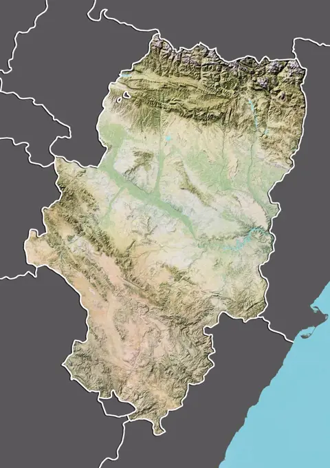
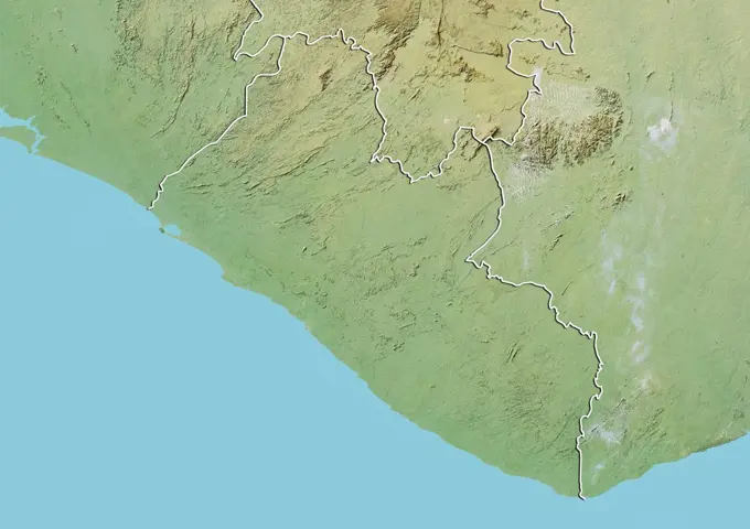
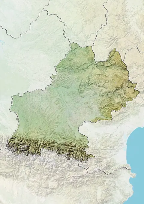
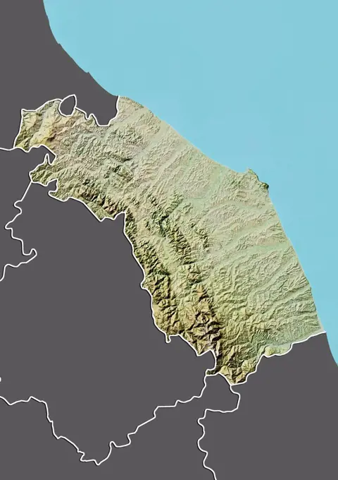
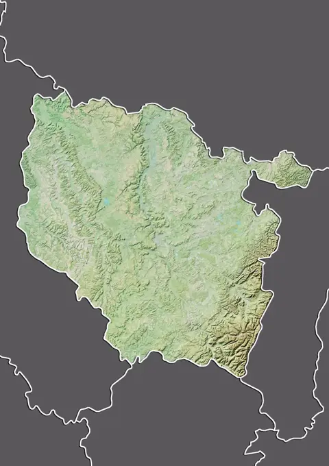
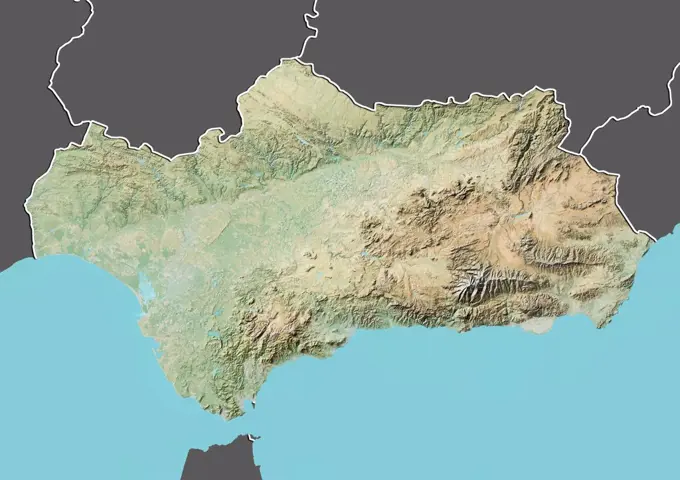
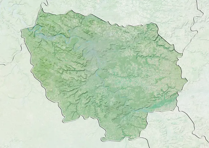
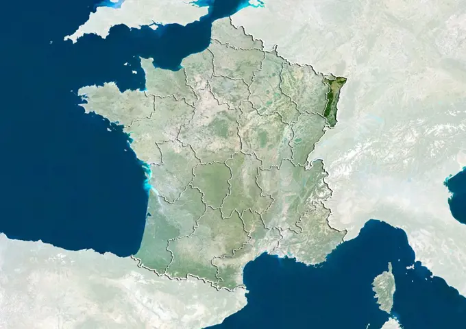
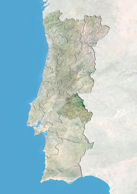
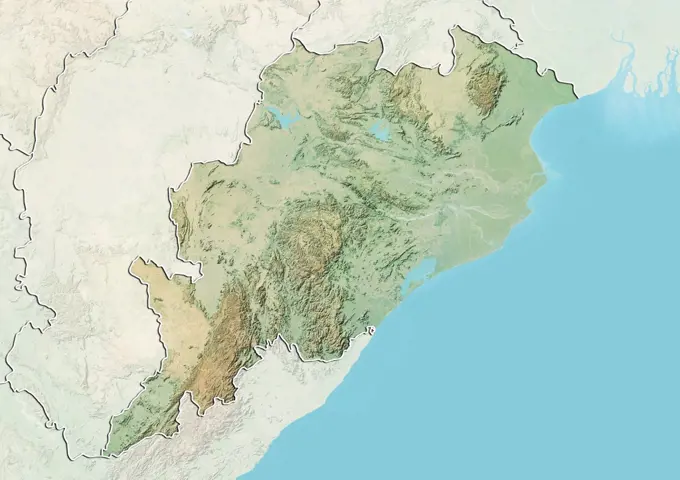
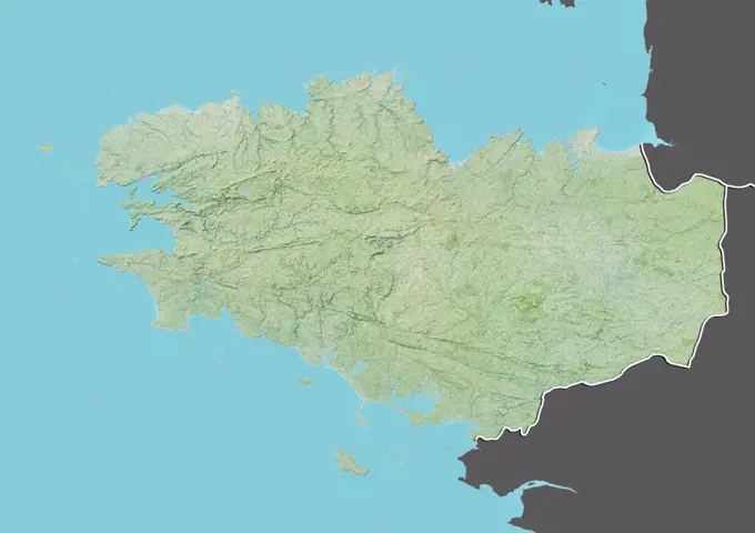
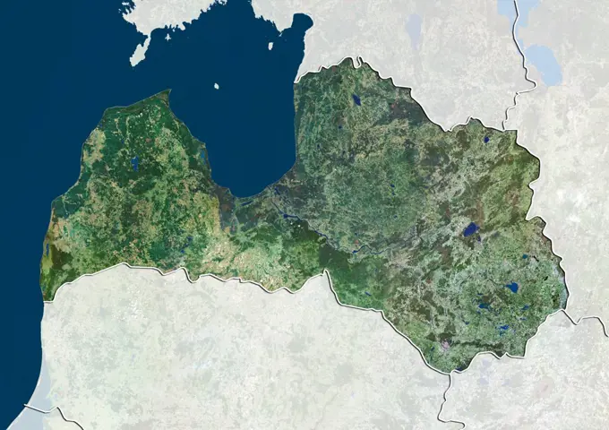
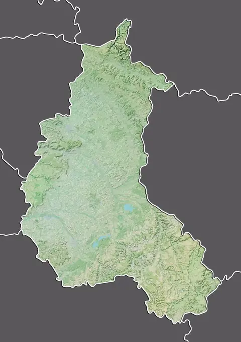
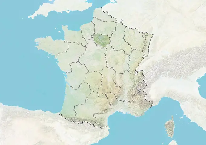
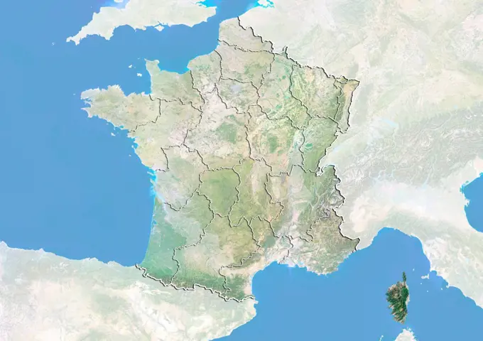
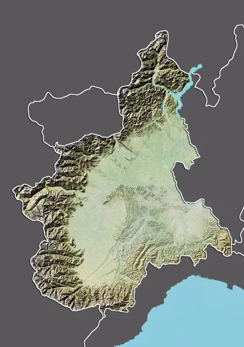
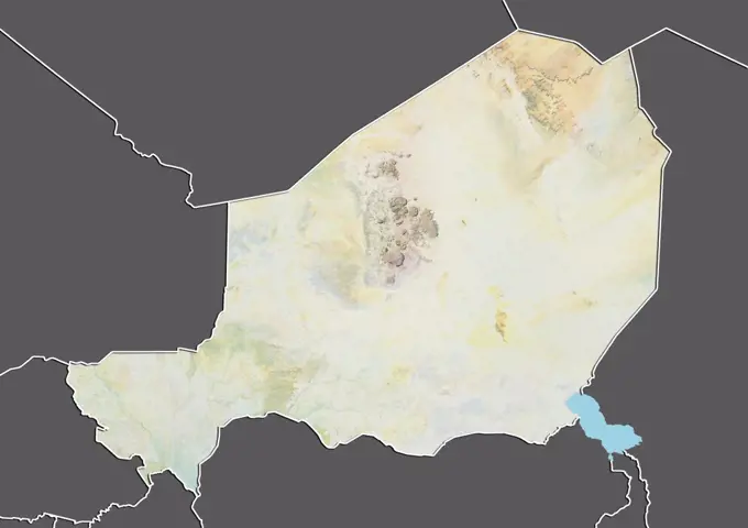
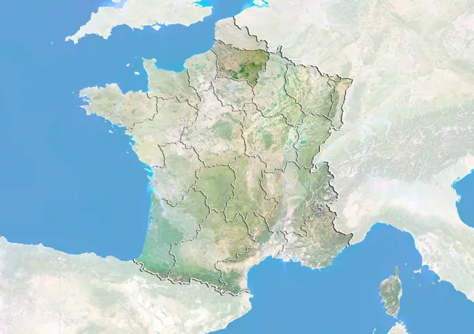
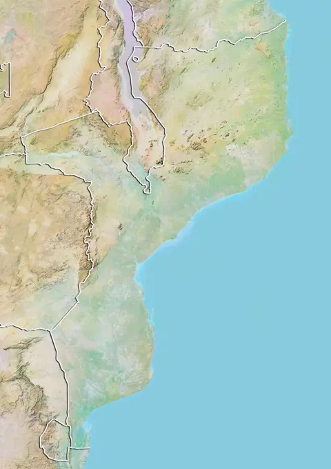
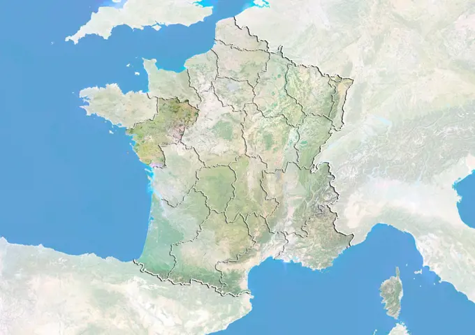
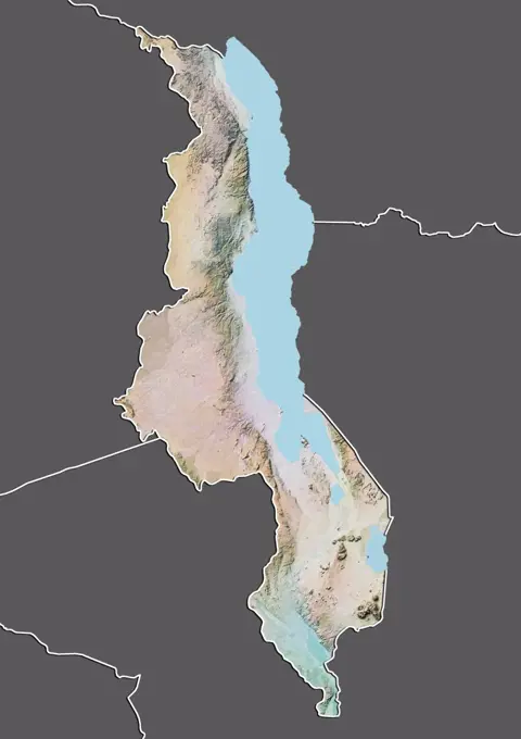
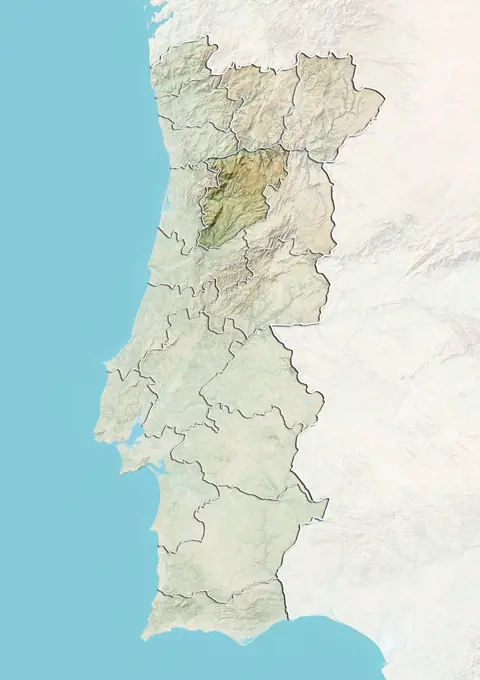
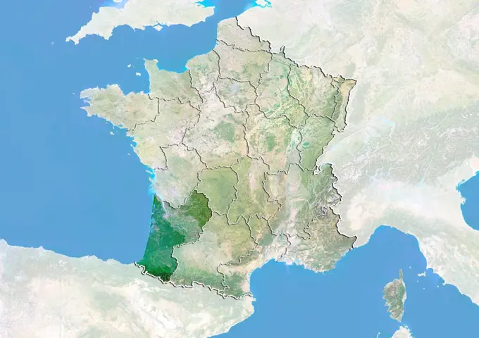
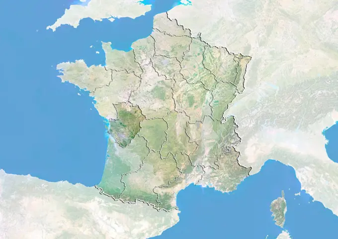
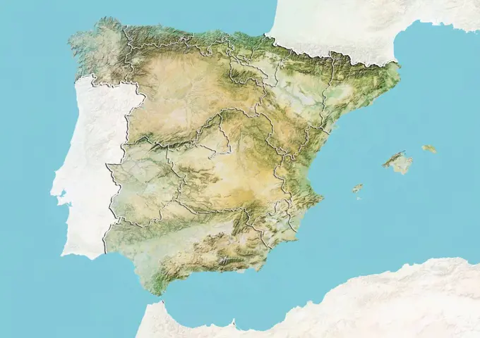
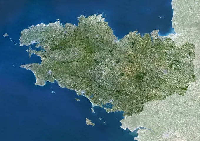
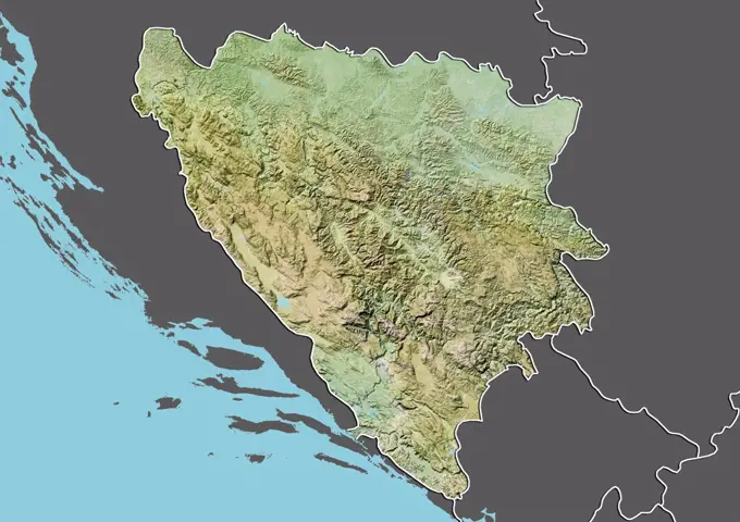
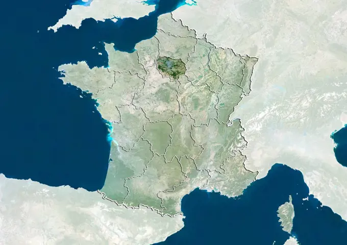
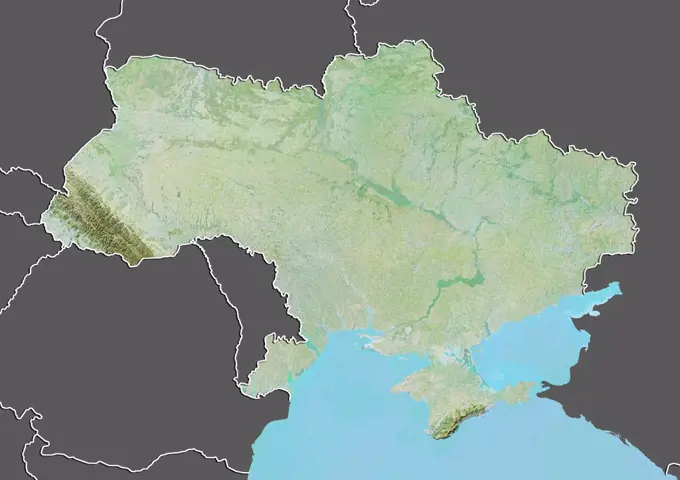
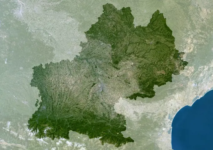
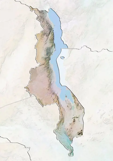
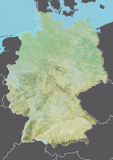
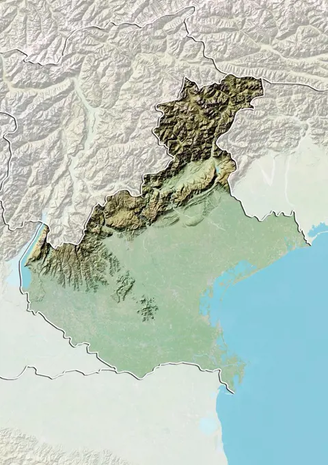
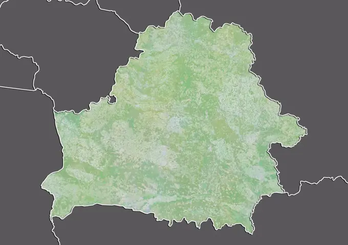
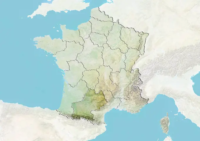
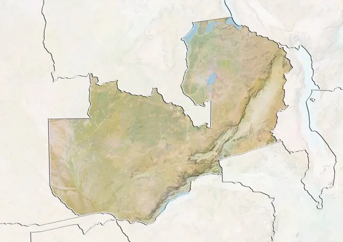
Topographic Maps of Regions

Relief maps showcasing elevation and terrain features of various regions around the world, highlighting geographical diversity.

Relief map of Cambodia (with border and mask). This image was compiled from data acquired by landsat 5 & 7 satellites combined with elevation data.
157 assets in this story
1899-66935
Relief map of Aragon, Spain. This image was compiled from data acquired by LANDSAT 5 & 7 satellites combined with elevation data.
1899-81878
Relief map of Burgundy, France. This image was compiled from data acquired by LANDSAT 5 & 7 satellites combined with elevation data.
1899-80013
Relief map of Liberia (with border). This image was compiled from data acquired by LANDSAT 5 & 7 satellites combined with elevation data.
1899-81909
Relief map of Nord-Pas de Calais, France. This image was compiled from data acquired by LANDSAT 5 & 7 satellites combined with elevation data.
1899-81906
Relief map of Midi-Pyrenees, France. This image was compiled from data acquired by LANDSAT 5 & 7 satellites combined with elevation data.
1899-82147
Relief map of Andalusia, Spain. This image was compiled from data acquired by LANDSAT 5 & 7 satellites combined with elevation data.
1899-82065
Relief map of the region of Marche, Italy. This image was compiled from data acquired by LANDSAT 5 & 7 satellites combined with elevation data.
1899-81524
Relief map of Cambodia (with border and mask). This image was compiled from data acquired by landsat 5 & 7 satellites combined with elevation data.
1899-66733
Relief map of Cameroon (with border and mask). This image was compiled from data acquired by landsat 5 & 7 satellites combined with elevation data.
1899-66889
Relief map of Lorraine, France. This image was compiled from data acquired by LANDSAT 5 & 7 satellites combined with elevation data.
1899-80727
Satellite view of France showing the region of Lorraine. This image was compiled from data acquired by LANDSAT 5 & 7 satellites.
1899-82146
Relief map of Andalusia, Spain. This image was compiled from data acquired by LANDSAT 5 & 7 satellites combined with elevation data.
1899-81891
Relief map of Ile-de-France, France. This image was compiled from data acquired by LANDSAT 5 & 7 satellites combined with elevation data.
1899-80685
Satellite view of France showing the region of Alsace. This image was compiled from data acquired by LANDSAT 5 & 7 satellites.
1899-81840
Relief map of the province of Liaoning, China. This image was compiled from data acquired by LANDSAT 5 & 7 satellites combined with elevation data.
1899-66893
Relief map of Pays-de-la-Loire, France. This image was compiled from data acquired by LANDSAT 5 & 7 satellites combined with elevation data.
1899-81931
Relief map of the State of Baden-Wurttemberg, Germany. This image was compiled from data acquired by LANDSAT 5 & 7 satellites combined with elevation data.
1899-81025
Satellite view of Portugal with bump effect, showing the district of Portalegre. This image was compiled from data acquired by LANDSAT 5 & 7 satellites combined with elevation data.
1899-80177
Relief map of Portugal (with border). This image was compiled from data acquired by LANDSAT 5 & 7 satellites combined with elevation data.
1899-80694
Satellite view of France showing the region of Lower Normandy. This image was compiled from data acquired by LANDSAT 5 & 7 satellites.
1899-82112
Relief map of the district of Beja, Portugal. This image was compiled from data acquired by LANDSAT 5 & 7 satellites combined with elevation data.
1899-82174
Relief map of Galicia, Spain. This image was compiled from data acquired by LANDSAT 5 & 7 satellites combined with elevation data.
1899-81543
Relief map of El Salvador (with border and mask). This image was compiled from data acquired by landsat 5 & 7 satellites combined with elevation data.
1899-82013
Relief map of the State of Orissa, India. This image was compiled from data acquired by LANDSAT 5 & 7 satellites combined with elevation data.
1899-66917
Relief map of the region of Friuli-Venezia Giulia, Italy. This image was compiled from data acquired by LANDSAT 5 & 7 satellites combined with elevation data.
1899-80745
Satellite view of France showing the region of Provence-Alpes-Cote d'Azur. This image was compiled from data acquired by LANDSAT 5 & 7 satellites.
1899-80700
Satellite view of France showing the region of Brittany. This image was compiled from data acquired by LANDSAT 5 & 7 satellites.
1899-66881
Relief map of Brittany, France. This image was compiled from data acquired by LANDSAT 5 & 7 satellites combined with elevation data.
1899-79600
Relief map of Austria (with border and mask). This image was compiled from data acquired by landsat 5 & 7 satellites combined with elevation data.
1899-82095
Relief map of the region of Kansai, Japan. This image was compiled from data acquired by LANDSAT 5 & 7 satellites combined with elevation data.
1899-79998
Satellite view of Latvia (with border and mask). This image was compiled from data acquired by LANDSAT 5 & 7 satellites.
1899-81031
Satellite view of Portugal with bump effect, showing the district of Santarem. This image was compiled from data acquired by LANDSAT 5 & 7 satellites combined with elevation data.
1899-80712
Satellite view of France showing the region of Franche-Comte. This image was compiled from data acquired by LANDSAT 5 & 7 satellites.
1899-82098
Relief map of the region of Kanto, Japan. This image was compiled from data acquired by LANDSAT 5 & 7 satellites combined with elevation data.
1899-81058
Satellite view of Spain with bump effect, showing the Basque Country. This image was compiled from data acquired by LANDSAT 5 & 7 satellites combined with elevation data.
1899-81884
Relief map of Champagne-Ardenne, France. This image was compiled from data acquired by LANDSAT 5 & 7 satellites combined with elevation data.
1899-80716
Relief map of France showing the region of Ile-de-France. This image was compiled from data acquired by LANDSAT 5 & 7 satellites combined with elevation data.
1899-79769
Relief map of Dominican Republic (with border and mask). This image was compiled from data acquired by landsat 5 & 7 satellites combined with elevation data.
1899-80708
Satellite view of France with bump effect, showing the region of Corsica. This image was compiled from data acquired by LANDSAT 5 & 7 satellites combined with elevation data.
1899-81085
Satellite view of Spain with bump effect, showing the region of Navarre. This image was compiled from data acquired by LANDSAT 5 & 7 satellites combined with elevation data.
1899-80172
Satellite view of Poland (with border). This image was compiled from data acquired by LANDSAT 5 & 7 satellites.
1899-80723
Satellite view of France with bump effect, showing the region of Limousin. This image was compiled from data acquired by LANDSAT 5 & 7 satellites combined with elevation data.
1899-80763
Satellite view of Germany showing the State of Lower Saxony. This image was compiled from data acquired by LANDSAT 5 & 7 satellites.
1899-66923
Relief map of the region of Piedmont, Italy. This image was compiled from data acquired by LANDSAT 5 & 7 satellites combined with elevation data.
1899-66811
Relief map of Niger (with border and mask). This image was compiled from data acquired by landsat 5 & 7 satellites combined with elevation data.
1899-82066
Relief map of the region of Marche, Italy. This image was compiled from data acquired by LANDSAT 5 & 7 satellites combined with elevation data.
1899-81028
Satellite view of Portugal with bump effect, showing the district of Porto. This image was compiled from data acquired by LANDSAT 5 & 7 satellites combined with elevation data.
1899-81079
Satellite view of Spain with bump effect, showing the region of Galicia. This image was compiled from data acquired by LANDSAT 5 & 7 satellites combined with elevation data.
1899-19190664
Color satellite image of Ukraine and neighbouring countries, including part of Russia, Belarus, Poland, Moldova, Romania, Crimea.
1899-80738
Satellite view of France with bump effect, showing the region of Picardy. This image was compiled from data acquired by LANDSAT 5 & 7 satellites combined with elevation data.
1899-80089
Relief map of Mozambique (with border). This image was compiled from data acquired by LANDSAT 5 & 7 satellites combined with elevation data.
1899-80735
Satellite view of France with bump effect, showing the region of Pays-de-la-Loire. This image was compiled from data acquired by LANDSAT 5 & 7 satellites combined with elevation data.
1899-53517920
Color satellite image of Guyana, with mask.
1899-66796
Relief map of Malawi (with border and mask). This image was compiled from data acquired by landsat 5 & 7 satellites combined with elevation data.
1899-66946
Relief map of Murcia, Spain. This image was compiled from data acquired by LANDSAT 5 & 7 satellites combined with elevation data.
1899-82002
Relief map of the State of Maharashtra, India. This image was compiled from data acquired by LANDSAT 5 & 7 satellites combined with elevation data.
1899-80722
Relief map of France showing the region of Limousin. This image was compiled from data acquired by LANDSAT 5 & 7 satellites combined with elevation data.
1899-80188
Satellite view of Republic of Congo (with border and mask). This image was compiled from data acquired by LANDSAT 5 & 7 satellites.
1899-81735
Satellite view of the State of Minas Gerais, Brazil. This image was compiled from data acquired by LANDSAT 5 & 7 satellites.
1899-82132
Relief map of the district of Portalegre, Portugal. This image was compiled from data acquired by LANDSAT 5 & 7 satellites combined with elevation data.
1899-81986
Relief map of the State of Gujarat, India. This image was compiled from data acquired by LANDSAT 5 & 7 satellites combined with elevation data.
1899-81042
Relief map of Portugal showing the district of Viseu. This image was compiled from data acquired by LANDSAT 5 & 7 satellites combined with elevation data.
1899-79849
Relief map of Georgia (with border and mask). This image was compiled from data acquired by landsat 5 & 7 satellites combined with elevation data.
1899-80687
Satellite view of France with bump effect, showing the region of Aquitaine. This image was compiled from data acquired by LANDSAT 5 & 7 satellites combined with elevation data.
1899-80714
Satellite view of France with bump effect, showing the region of Upper Normandy. This image was compiled from data acquired by LANDSAT 5 & 7 satellites combined with elevation data.
1899-66833
Relief map of Slovenia (with border and mask). This image was compiled from data acquired by landsat 5 & 7 satellites combined with elevation data.
1899-80741
Satellite view of France with bump effect, showing the region of Poitou-Charentes. This image was compiled from data acquired by LANDSAT 5 & 7 satellites combined with elevation data.
1899-81093
Relief map of Spain with region boundaries. This image was compiled from data acquired by LANDSAT 5 & 7 satellites combined with elevation data.
1899-34684
Brittany Region, France, True Colour Satellite Image With Mask. Brittany region, France, true colour satellite image with mask. This image was compiled from data acquired by LANDSAT 5 & 7 satellites.
1899-82025
Relief map of the State of Uttar Pradesh, India. This image was compiled from data acquired by LANDSAT 5 & 7 satellites combined with elevation data.
1899-35402
Cambodia, Asia, True Colour Satellite Image With Mask. Satellite view of Cambodia (with mask). This image was compiled from data acquired by LANDSAT 5 & 7 satellites.
1899-82032
Relief map of the region of Abruzzo, Italy. This image was compiled from data acquired by LANDSAT 5 & 7 satellites combined with elevation data.
1899-81910
Satellite view of Nord-Pas de Calais, France. This image was compiled from data acquired by LANDSAT 5 & 7 satellites.
1899-81950
Relief map of the State of Mecklenburg-Vorpommern, Germany. This image was compiled from data acquired by LANDSAT 5 & 7 satellites combined with elevation data.
1899-80244
Relief map of Slovenia (with border and mask). This image was compiled from data acquired by landsat 5 & 7 satellites combined with elevation data.
1899-82176
Relief map of La Rioja, Spain. This image was compiled from data acquired by LANDSAT 5 & 7 satellites combined with elevation data.
1899-66725
Relief map of Bosnia and Herzegovina (with border and mask). This image was compiled from data acquired by landsat 5 & 7 satellites combined with elevation data.
1899-53517702
Color satellite image of Azerbaijan, with borders and mask.
1899-66912
Relief map of the region of Abruzzo, Italy. This image was compiled from data acquired by LANDSAT 5 & 7 satellites combined with elevation data.
1899-81081
Relief map of Spain showing the region of La Rioja. This image was compiled from data acquired by LANDSAT 5 & 7 satellites combined with elevation data.
1899-80751
Satellite view of France with boundaries of regions. This image was compiled from data acquired by LANDSAT 5 & 7 satellites.
1899-82080
Relief map of the region of Umbria, Italy. This image was compiled from data acquired by LANDSAT 5 & 7 satellites combined with elevation data.
1899-80718
Satellite view of France showing the region of Ile-de-France. This image was compiled from data acquired by LANDSAT 5 & 7 satellites.
1899-66853
Relief map of Ukraine (with border and mask). This image was compiled from data acquired by landsat 5 & 7 satellites combined with elevation data.
1899-34691
Midi-Pyrenees Region, France, True Colour Satellite Image With Mask. Midi-Pyrénées region, France, true colour satellite image with mask. This image was compiled from data acquired by LANDSAT 5 & 7 satellites.
1899-66791
Relief map of Liberia (with border and mask). This image was compiled from data acquired by landsat 5 & 7 satellites combined with elevation data.
1899-66925
Relief map of the region of Tuscany, Italy. This image was compiled from data acquired by LANDSAT 5 & 7 satellites combined with elevation data.
1899-80043
Relief map of Malawi (with border and mask). This image was compiled from data acquired by landsat 5 & 7 satellites combined with elevation data.
1899-66761
Relief map of Germany (with border and mask). This image was compiled from data acquired by landsat 5 & 7 satellites combined with elevation data.
1899-81758
Relief map of the State of Sao Paulo, Brazil. This image was compiled from data acquired by LANDSAT 5 & 7 satellites combined with elevation data.
1899-82084
Relief map of the region of Veneto, Italy. This image was compiled from data acquired by LANDSAT 5 & 7 satellites combined with elevation data.
1899-80129
Relief map of North Korea (with border). This image was compiled from data acquired by LANDSAT 5 & 7 satellites combined with elevation data.
1899-81560
Relief map of Haiti (with border and mask). This image was compiled from data acquired by landsat 5 & 7 satellites combined with elevation data.
1899-81509
Relief map of Belarus (with border and mask). This image was compiled from data acquired by landsat 5 & 7 satellites combined with elevation data.
1899-79625
Relief map of Belarus (with border and mask). This image was compiled from data acquired by landsat 5 & 7 satellites combined with elevation data.
1899-80728
Relief map of France showing the region of Midi-Pyrenees. This image was compiled from data acquired by LANDSAT 5 & 7 satellites combined with elevation data.
1899-81895
Satellite view of Languedoc-Roussillon, France. This image was compiled from data acquired by LANDSAT 5 & 7 satellites.
1899-66863
Relief map of Yemen (with border and mask). This image was compiled from data acquired by landsat 5 & 7 satellites combined with elevation data.
1899-80397
Relief map of Zambia (with border and mask). This image was compiled from data acquired by landsat 5 & 7 satellites combined with elevation data.
1899-80367
Relief map of Uruguay (with border and mask). This image was compiled from data acquired by landsat 5 & 7 satellites combined with elevation data.
PREVIOUS
of 2
NEXT
2401 S. Ervay, Suite 206
Dallas, Texas 75215
United States
Get Started
Free ResearchMy BoardsMy Cart
For Creators
How To License Your ContentContributor PortalFrame of Mind
Resources
API accessPricing
Contact
+1 866 236 0087help@viewpictures.co.uk Contact form
©2026 View Pictures. All Rights Reserved. -A
This site is protected by reCAPTCHA and Google Privacy Policy and Terms of Service apply.