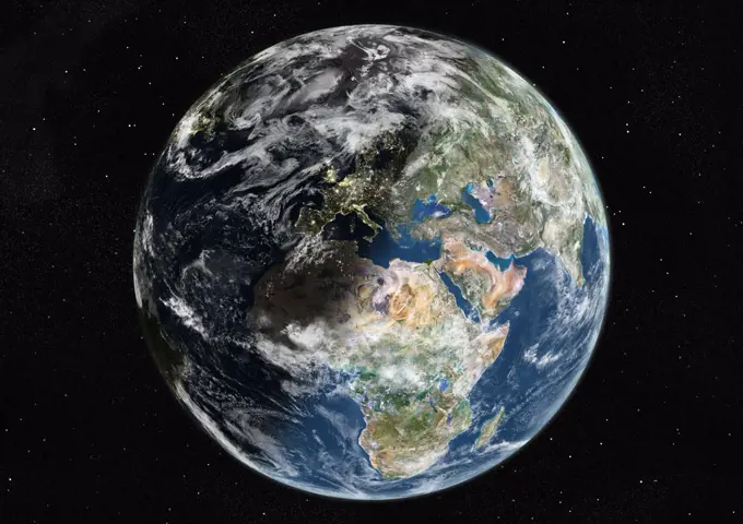
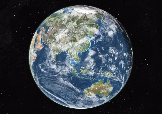
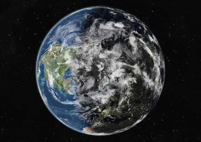
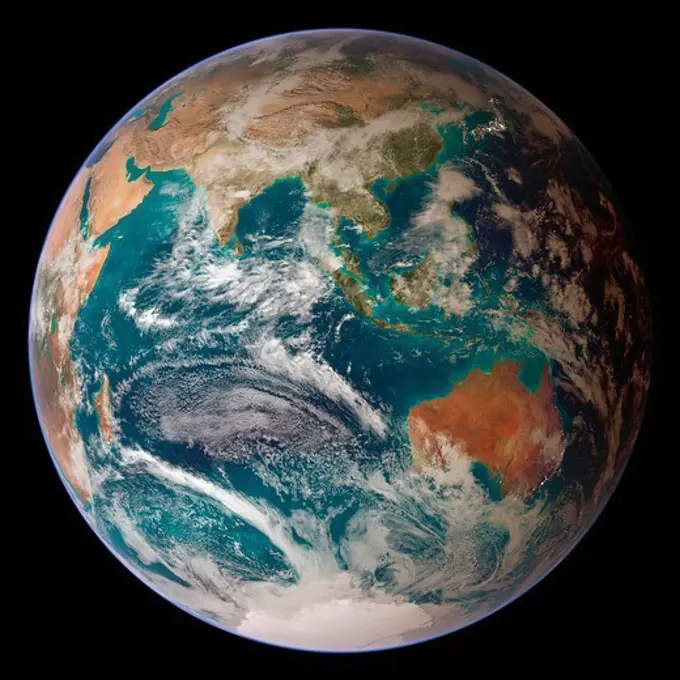
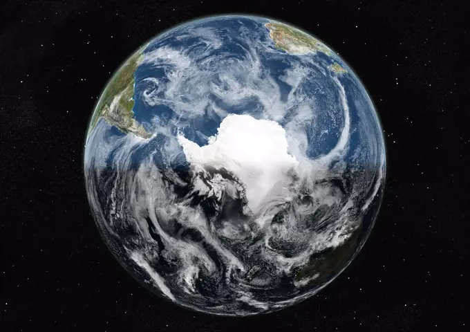
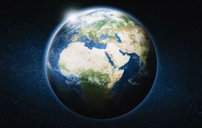
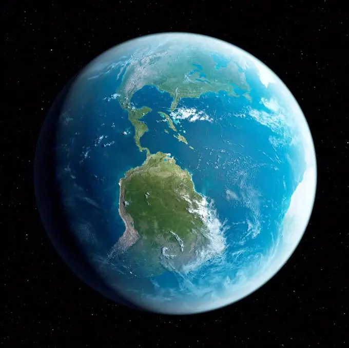
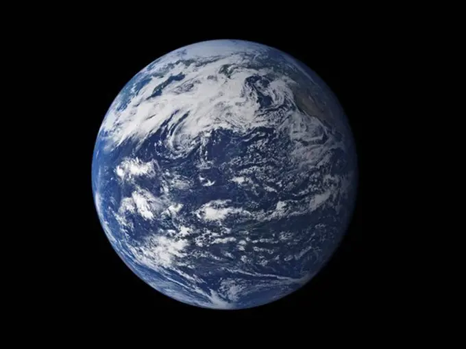
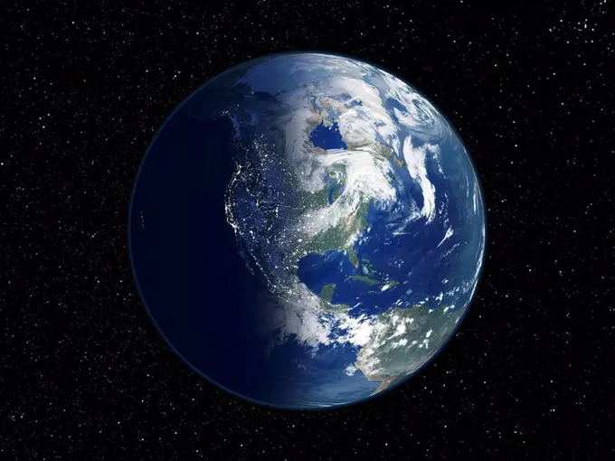
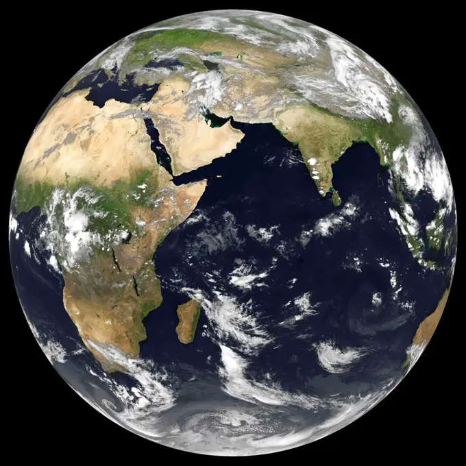
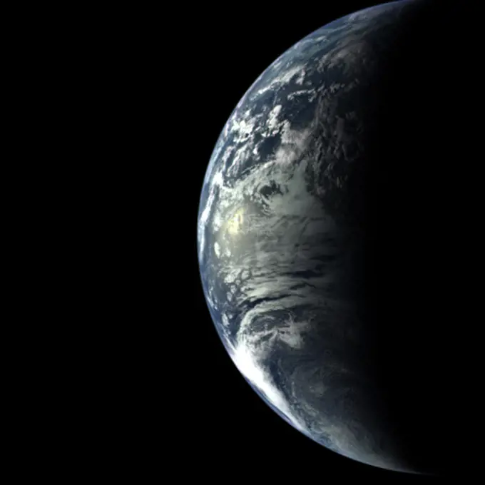
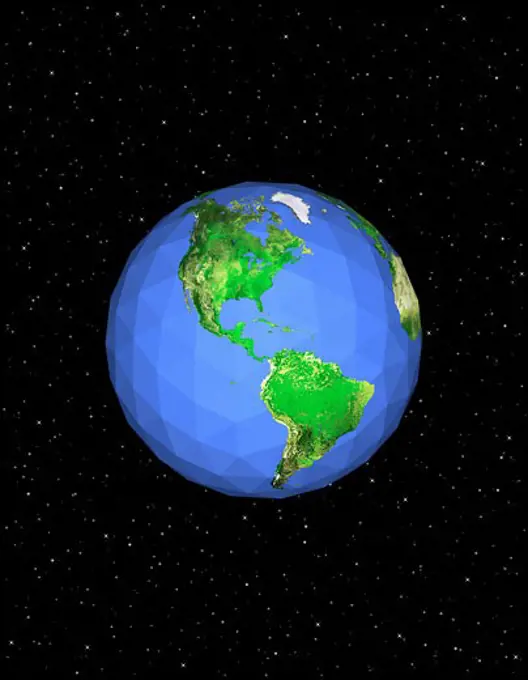
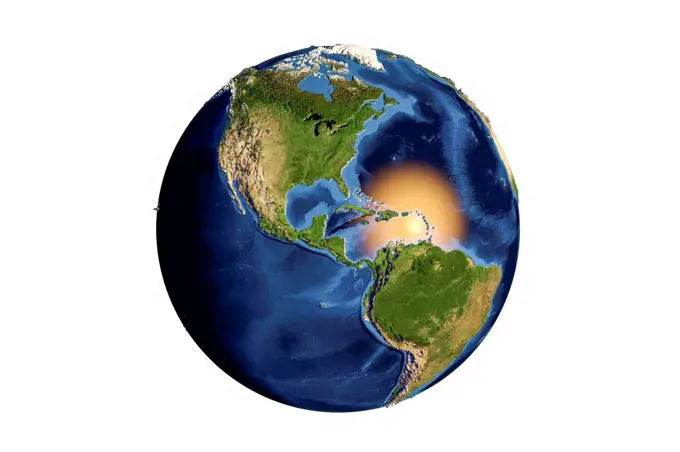
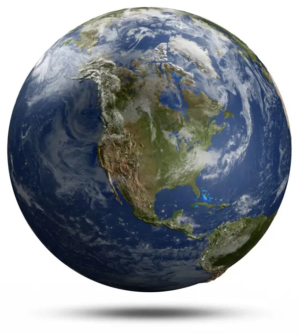
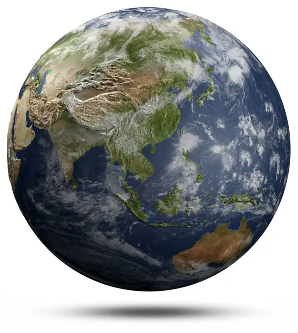
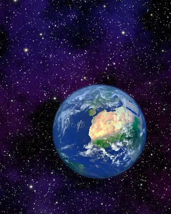
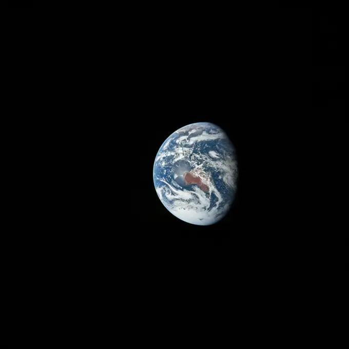
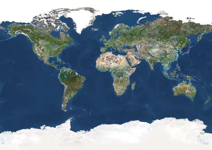
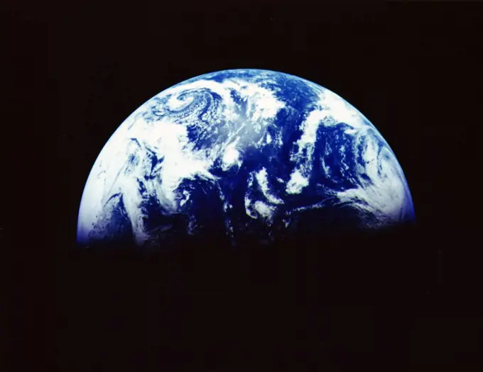
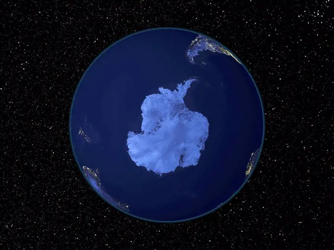
My Boards
View Pictures
  • My Boards
← Science

True Color Satellite Images of Earth

Stunning satellite images depicting Earth from various angles, highlighting Asia, Oceania, Europe, and Africa with realistic cloud coverage in true color.

Planet earth, computer illustration.
159 assets in this story
1899-35555
Globe Centred On Asia And Oceania, True Colour Satellite Image. True colour satellite image of the Earth centred on Asia and Oceania with cloud coverage, during winter solstice at 12 a.m GMT. This image in orthographic projection was compiled from data acquired by LANDSAT 5 & 7 satellites.
1570-V111111623
1899-35577
Globe Centred On Europe And Africa, True Colour Satellite Image. True colour satellite image of the Earth centred on Europe and Africa with cloud coverage, during winter solstice at 6 a.m GMT. This image in orthographic projection was compiled from data acquired by LANDSAT 5 & 7 satellites.
1899-35561
Globe Centred On Asia And Oceania, True Colour Satellite Image. True colour satellite image of the Earth centred on Asia and Oceania with cloud coverage, at the equinox at 6 a.m GMT. This image in orthographic projection was compiled from data acquired by LANDSAT 5 & 7 satellites.
1899-35559
Globe Centred On Asia And Oceania, True Colour Satellite Image. True colour satellite image of the Earth centred on Asia and Oceania with cloud coverage, during winter solstice at 12 p.m GMT. This image in orthographic projection was compiled from data acquired by LANDSAT 5 & 7 satellites.
1899-35547
Globe Centred On Asia And Oceania, True Colour Satellite Image. True colour satellite image of the Earth centred on Asia and Oceania with cloud coverage, during summer solstice at 12 a.m GMT. This image in orthographic projection was compiled from data acquired by LANDSAT 5 & 7 satellites.
1899-35605
Globe Centred On The North Pole, True Colour Satellite Image. True colour satellite image of the Earth centred on the North Pole with cloud coverage, during winter solstice at 6 p.m GMT. This image in orthographic projection was compiled from data acquired by LANDSAT 5 & 7 satellites.
4389-971
Indian Ocean From Space
1849-66221556
Digitally manipulated image of Africa and the Atlantic Ocean from space over the Equator
4128R-12576911
Planet earth, computer illustration.
4048-8628
Earth view from Apollo 17 moon mission. The view extends from the Mediterranean Sea to the Antarctica. July 17, 1969.
1899-35613
Globe Centred On The North Pole, True Colour Satellite Image. True colour satellite image of the Earth centred on the North Pole with cloud coverage, at the equinox at 6 p.m GMT. This image in orthographic projection was compiled from data acquired by LANDSAT 5 & 7 satellites.
1899-35615
Globe Centred On The North Pole, True Colour Satellite Image. True colour satellite image of the Earth centred on the North Pole with cloud coverage, at the equinox at 12 p.m GMT. This image in orthographic projection was compiled from data acquired by LANDSAT 5 & 7 satellites.
1525-27281906
Planet Earth from space. Elements of this image furnished by NASA. 3d rendering. Planet Earth from space
1899-35590
Globe Centred On Europe And Africa, True Colour Satellite Image. True colour satellite image of the Earth centred on Europe and Africa, at the equinox at 12 p.m GMT. This image in orthographic projection was compiled from data acquired by LANDSAT 5 & 7 satellites.
1525-27281902
Planet Earth globe at night. Elements of this image furnished by NASA. 3d rendering. Planet Earth globe at night
1525-22677002
Australia and Oceania 3d rendering. Australia and Oceania. Earth map from NASA 3d rendering. Australia and Oceania 3d rendering
1899-35566
Globe Centred On Asia And Oceania, True Colour Satellite Image. True colour satellite image of the Earth centred on Asia and Oceania, at the equinox at 12 p.m GMT. This image in orthographic projection was compiled from data acquired by LANDSAT 5 & 7 satellites.
1899-35580
Globe Centred On Europe And Africa, True Colour Satellite Image. True colour satellite image of the Earth centred on Europe and Africa, during winter solstice at 6 p.m GMT. This image in orthographic projection was compiled from data acquired by LANDSAT 5 & 7 satellites.
1849-66221537
Digitally manipulated image of South America from space
1899-35635
Globe Centred On The South Pole, True Colour Satellite Image. True colour satellite image of the Earth centred on the South Pole with cloud coverage, at the equinox at 12 a.m GMT. This image in orthographic projection was compiled from data acquired by LANDSAT 5 & 7 satellites.
1525-25765364
USA and Canada from space 3d rendering. USA and Canada from space. Elements of this image furnished by NASA 3d rendering. USA and Canada from space 3d rendering
1525-21255588
blue  planet earth  in space.
1525-28167480
Europe and Africa planet Earth globe. Elements of this image furnished by NASA. 3d rendering. Europe and Africa planet Earth globe
4128R-12576910
Planet earth, computer illustration.
1899-35586
Globe Centred On Europe And Africa, True Colour Satellite Image. True colour satellite image of the Earth centred on Europe and Africa, at the equinox at 12 a.m GMT. This image in orthographic projection was compiled from data acquired by LANDSAT 5 & 7 satellites.
4389-2485
The Water Planet
6145-44958720
AS17-148-22727 (7 Dec. 1972) --- This view of Earth was seen by the Apollo 17 crew as they traveled toward the moon on their NASA lunar landing mission. This outstanding trans-lunar coast photograph extends from the Mediterranean Sea area to the Antarctica south polar ice cap. This is the first time the Apollo trajectory made it possible to photograph the south polar ice cap. Note the heavy cloud cover in the Southern Hemisphere. Almost the entire coastline of Africa is clearly visible. The Arabian Peninsula can be seen at the northeastern edge of Africa. The large island off the coast of Africa is the Malagasy Republic. The Asian mainland is on the horizon toward the northeast. The Apollo 17 crew consisted of astronauts Eugene A. Cernan, mission commander; Ronald E. Evans, command module pilot; and Harrison H. Schmitt, lunar module pilot. While astronauts Cernan and Schmitt descended in the Lunar Module (LM) to explore the moon, astronaut Evans remained with the Command and Service Mo
6145-45259174
NASA image acquired April 18 - October 23, 2012 This image of Asia and Australia at night is a composite assembled from data acquired by the Suomi NPP satellite in April and October 2012. The new data was mapped over existing Blue Marble imagery of Earth to provide a realistic view of the planet. The nighttime view was made possible by the new satellites “day-night band” of the Visible Infrared Imaging Radiometer Suite. VIIRS detects light in a range of wavelengths from green to near-infrared and uses filtering techniques to observe dim signals such as city lights, gas flares, auroras, wildfires, and reflected moonlight. In this case, auroras, fires, and other stray light have been removed to emphasize the city lights. “Night time imagery provides an intuitively graspable view of our planet,” says William Stefanov, a scientist in NASAs International Space Station program office who has worked with similar images from astronauts. “City lights are an excellent means to track urban and
6188-65602430
Planet Earth done with NASA textures 3d rendering of the planet Earth done with NASA textures Copyright: xZoonar.com/magannx 9743173
4186-58631210
EARTH FROM APOLLO 17
1899-35625
Globe Centred On The South Pole, True Colour Satellite Image. True colour satellite image of the Earth centred on the South Pole with cloud coverage, during winter solstice at 6 a.m GMT. This image in orthographic projection was compiled from data acquired by LANDSAT 5 & 7 satellites.
4128R-4172
North America, night_day satellite image
4128R-22322
Middle East. Night_day computer artwork of the Earth from space with lights glowing in urban areas.
1746-19629660
Earth from Space photographed by spacecraft Apollo 16, April 16 1972. Most of US and Mexico and some parts of Central America are visible. NASA photograph.
6145-45231879
This animation shows images of the far side of the moon, illuminated by the sun, as it crosses between the DISCOVR spacecraft's Earth Polychromatic Imaging Camera (EPIC) camera and telescope, and the Earth - one million miles away.
1525-27281905
Planet Earth from space. Elements of this image furnished by NASA. 3d rendering. Planet Earth from space
4239R-20480471
Full Earth view showing North America.
1899-35549
Globe Centred On Asia And Oceania, True Colour Satellite Image. True colour satellite image of the Earth centred on Asia and Oceania with cloud coverage, during summer solstice at 6 p.m GMT. This image in orthographic projection was compiled from data acquired by LANDSAT 5 & 7 satellites.
1899-61003
Planet Earth Seen From Space; Africa And Antarctica Visible
6188-64674450
Earth Planet earth in space. Stars and Nebula 3d image. Copyright: xZoonar.com/RuslanxGrechkax 7015832
1899-35516
Globe Centred On Europe And Africa, True Colour Satellite Image. True colour satellite image of the Earth centred on Europe and Africa. This image in orthographic projection was compiled from data acquired by LANDSAT 5 & 7 satellites.
1525-22676747
Earth 3d rendering. Earth 3d rendering. Earth space model, maps courtesy of NASA. Earth 3d rendering
4128-18180924
Supercontinent Gondwana, illustration
6188-65608237
Earth North Pole done with NASA textures Earth North Pole done with NASA textures 3D illustration Copyright: xZoonar.com/magannx 14221372
1899-35564
Globe Centred On Asia And Oceania, True Colour Satellite Image. True colour satellite image of the Earth centred on Asia and Oceania, at the equinox at 6 p.m GMT. This image in orthographic projection was compiled from data acquired by LANDSAT 5 & 7 satellites.
1746-19659759
Jan Zamoyski (15421605), Polish-Lithuanian nobleman, magnate
1899-35536
Globe Centred On The Americas, True Colour Satellite Image. True colour satellite image of the Earth centred on the Americas, at the equinox at 6 a.m GMT. This image in orthographic projection was compiled from data acquired by LANDSAT 5 & 7 satellites.
1599R-23159
Earth as viewed from space against a black background
6145-45259907
NASA GOES 12 satellite image showing earth on March 30, 2010 7:45 AM EDT.
4128R-15061669
Terraformed Venus, illustration
1899-35556
Globe Centred On Asia And Oceania, True Colour Satellite Image. True colour satellite image of the Earth centred on Asia and Oceania, during winter solstice at 6 p.m GMT. This image in orthographic projection was compiled from data acquired by LANDSAT 5 & 7 satellites.
1525-19777822
3d unknown planet on white. Data source: nasa.
4239-57496072
Earth and atmosphere
1525-22676810
Asia and Europe 3d rendering. Asia and Europe. Earth space model, maps courtesy of NASA 3d rendering. Asia and Europe 3d rendering
1457R-263
Satellite view of planet Earth
1848-50790609
High resolution illustration of planet Uranus. The seventh planet from the Sun with the third largest diameter in our solar system
4128-V58561149
6145-45259399
Here are a few of our top images from 2016. To see more great NASA Goddard images be sure to follow us on Instagram at a href= http //www.instagram.com/nasagoddard rel= nofollow www.instagram.com/nasagoddard /a and also on Twitter at a href=
1589R-12256644
Glowing Earth floating in space
1570R-129042
Satellite view of the earth partly in shadow
1899-35565
Globe Centred On Asia And Oceania, True Colour Satellite Image. True colour satellite image of the Earth centred on Asia and Oceania with cloud coverage, at the equinox at 6 p.m GMT. This image in orthographic projection was compiled from data acquired by LANDSAT 5 & 7 satellites.
1899-35608
Globe Centred On The North Pole, True Colour Satellite Image. True colour satellite image of the Earth centred on the North Pole, at the equinox at 6 a.m GMT. This image in orthographic projection was compiled from data acquired by LANDSAT 5 & 7 satellites.
6145-45256532
This full disc image of earth shows the strom system on Dec. 10, 2013 at 1445 UTC. According to the National Weather Service snow is falling from Tennessee Valley into the Mid-Atlantic and New England Tuesday . The fast moving system is creating swath of 2 to 7 inches of snow from southwest Virginia to the New England coast. Heavy Lake Effect snows will also impact the Lower Great Lakes into later this week, with up to two feet of accumulation. b a href= http //goes.gsfc.nasa.gov/ rel= nofollow
6145-45260961
This image was taken by NASA's EPIC camera onboard the NOAA DSCOVR spacecraft
1525-25132786
Europe seen from the spaceThis is a photoshop edited image. Some components of this montage are provided courtesy of NASA, and have been found at http://visibleearth.nasa.gov/
4141-7940
europe - lights at night please credit: nasa/t&t stack/nhpa for editorial use only; not for promotion or endorsement
4389-1985
Earth and Moon
1746-19663348
The Mercury-bound MESSENGER spacecraft captured several stunning images of Earth during a gravity assist swingby of its home planet on Aug. 2, 2005. Several hundred images, taken with the wide-angle camera in MESSENGERs Mercury Dual Imaging System (MDIS),were sequenced into a movie documenting the view from MESSENGER as it departed Earth. Comprising 358 frames taken over 24 hours, the movie follows Earth through one complete rotation. The spacecraft was 40,761 miles (65,598 kilometres) above South America when the camera started rolling on Aug. 2. It was 270,847 miles (435,885 kilometres) away from Earthfarther than the Moons orbitwhen it snapped the last image on Aug.3. These images are from MESSENGER, a NASA Discovery mission to conduct the first orbital study of the innermost planet, Mercury.
1828R-4536
Geodesic Globe in Space, North and South America
1525-25755817
USA from space. USA from space. Elements of this image furnished by NASA. USA from space
1525-23175998
Global connection. Human hand pointing with finger on Earth planet. Elements of this image are furnished by NASA
4128R-13682079
Earth from space. Computer illustration showing the Earth as viewed from space, centred over Central America. North America (upper) and South America ...
6145-45256892
This full-disk image from NOAAs GOES-13 satellite was captured at 11 45 UTC (7 45 a.m. EDT) and shows the Americas on March 20, 2014. This date marks the start of astronomical spring in the northern hemisphere. b a href= http //goes.gsfc.nasa.gov/ rel= nofollow
6145-44755812
AS16-118-18880 (16 April 1972) --- A good view of Earth photographed about one hour after trans-lunar injection on April 16, 1972. Although there is much cloud cover, the United States in large part, most of Mexico and some of Central America are clearly visible. Note the Great Lakes (Michigan and Superior) and the Bahama Banks (note different shade of blue below Florida). While astronauts John W. Young, commander, and Charles M. Duke Jr., lunar module pilot, descended in the Lunar Module (LM) Orion to explore the Descartes highlands region of the moon, astronaut Thomas K. (Ken) Mattingly II, command module pilot, remained with the Command and Service Modules (CSM) Casper in lunar orbit.
1525-23156290
Our home planet in space
1746-29000558
North and South America at night is a composite assembled from data acquired by the Suomi NPP satellite in April and October 2012
1525-22676926
North America 3d rendering. North America 3d rendering. Maps from NASA imagery
1525-25765137
Earth globe - North America 3d rendering. Earth globe - North America. Elements of this image furnished by NASA 3d rendering. Earth globe - North America 3d rendering
4353-261
Digital Illustration of Earth's Rotation On Its Axis
4239R-20480734
December 1968 - A striking view from the Apollo 8 spacecraft showing nearly the entire Western Hemisphere, from the mouth of the St. Lawrence River, including nearby Newfoundland, extending to Tierra del Fuego at the southern tip of South America. Central America is clearly outlined. Nearly all of South America is covered by clouds, except the high Andes Mountain chain along the west coast. A small portion of the bulge of West Africa shows along the sunset terminator.
6145-45258924
Hurricane Joaquin is seen in the Atlantic Ocean north of Bermuda in this image taken by GOES East at 1315 UTC (9 15 a.m. EDT) on October 5, 2015. b a href= http //goes.gsfc.nasa.gov/ rel= nofollow
1746-19661413
Satellite view of North, Central and South America, set between the Pacific and Atlantic oceans. Credit: NASA. Science Earth Geology Oceanography
1899-35598
Globe Centred On The North Pole, True Colour Satellite Image. True colour satellite image of the Earth centred on the North Pole, during summer solstice at 12 p.m GMT. This image in orthographic projection was compiled from data acquired by LANDSAT 5 & 7 satellites.
6145-45258923
This image was taken by NASA's EPIC camera onboard the NOAA DSCOVR spacecraft
1525-25764937
Earth globe - Asia and Oceania 3d rendering. Earth globe - Asia and Oceania. Elements of this image furnished by NASA 3d rendering. Earth globe - Asia and Oceania 3d rendering
1828R-10089
Earth With View of Europe And Africa
1848-50791553
High resolution illustration of planet Uranus, The seventh planet from the Sun with the third largest diameter in our solar system
1899-35446
Whole Earth With Country Borders, True Colour Satellite Image. True colour satellite image of the whole Earth with country borders. This image in Miller projection was compiled from data acquired by LANDSAT 5 & 7 satellites.
6145-44958736
AS17-148-22742 (7-19 Dec. 1972) --- Most of Australia (center) and part of Antarctica are visible in this photo of a three-quarters Earth, recorded with a 70mm handheld Hasselblad camera using a 250mm lens. The three astronauts aboard the Command and Service Modules (CSM) were in the trans-lunar coast phase of the journey when one of them snapped this shot. While astronauts Eugene A. Cernan commander, and Harrison H. Schmitt, lunar module pilot, descended in the Lunar Module (LM) Challenger to explore the Taurus-Littrow region of the moon, astronaut Ronald E. Evans, command module pilot, remained with the CSM America in lunar orbit.
1848-50791396
High resolution illustration of planet Neptune. Neptune is the eighth and farthest-known Solar planet from the Sun. In the Solar System, it is the fourth-largest planet by diameter
1457-1119
Circum-Arctic permafrost, MODIS Daily Snow Cover and Sea Ice Surface Temperature over the Arctic region on May 19, 2003.
4128R-15516598
Illustration of the Earth from space
1899-35447
Whole Earth With Country Borders And Major Rivers, True Colour Satellite Image. True colour satellite image of the whole Earth with country borders and major rivers. This image in Miller projection was compiled from data acquired by LANDSAT 5 & 7 satellites.
6145-44976426
On Oct. 9, NASA's Juno spacecraft flew past Earth, using our home planet's gravity to get the final boost it needed to reach Jupiter. The JunoCam instrument captured this monochrome view of Earth.
1746-19629503
Earth from Space photographed by spacecraft Galileo 11, December 1992 from distance of 1.9 million km (1.2 million miles) Antarctica, bottom, and dawn rising over Pacific Ocean. NASA photograph.
4128R-885
Antarctica at night, satellite image
6145-45260965
On July 20, 2015, NASA released to the world the first image of the sunlit side of Earth captured by the space agency's EPIC camera on NOAA's DSCOVR satellite. The camera has now recorded a full year of life on Earth from its orbit at Lagrange point 1, approximately 1 million miles from Earth, where it is balanced between the gravity of our home planet and the sun. EPIC takes a new picture every two hours, revealing how the planet would look to human eyes, capturing the ever-changing motion of clouds and weather systems and the fixed features of Earth such as deserts, forests and the distinct blues of different seas. EPIC will allow scientists to monitor ozone and aerosol levels in Earths atmosphere, cloud height, vegetation properties and the ultraviolet reflectivity of Earth. The primary objective of DSCOVR, a partnership between NASA, the National Oceanic and Atmospheric Administration (NOAA) and the U.S. Air Force, is to maintain the nations real-time solar wind monitoring capabi
6177-V54015327
1848-50791399
Rendered illustration of planet Saturn, Saturn is the sixth planet from the Sun and the second largest planet in our solar system
PREVIOUS
of 2
NEXT
2401 S. Ervay, Suite 206
Dallas, Texas 75215
United States
Get Started
Free ResearchMy BoardsMy Cart
For Creators
How To License Your ContentContributor PortalFrame of Mind
Resources
API accessPricing
Contact
+1 866 236 0087help@viewpictures.co.uk Contact form
©2026 View Pictures. All Rights Reserved. -A
This site is protected by reCAPTCHA and Google Privacy Policy and Terms of Service apply.