Vintage Fire Insurance Maps
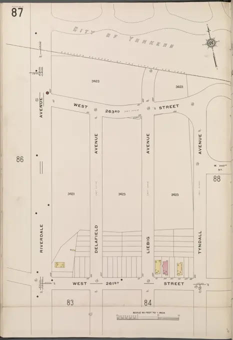
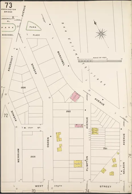
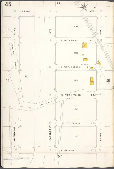
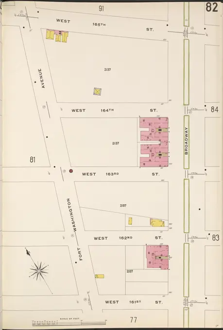
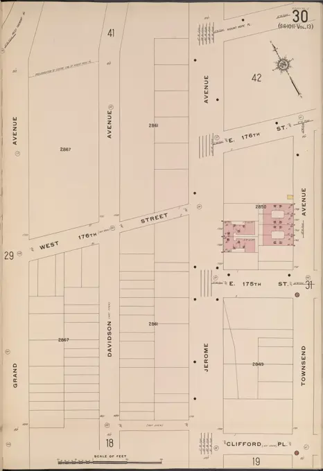
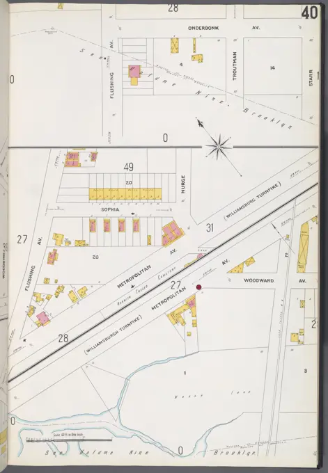
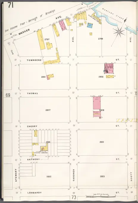
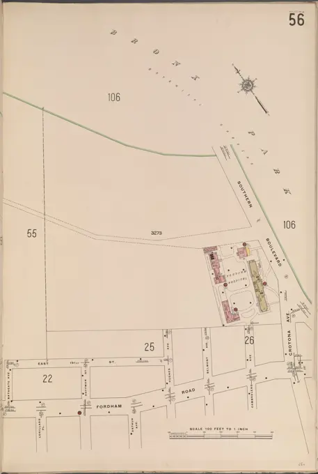
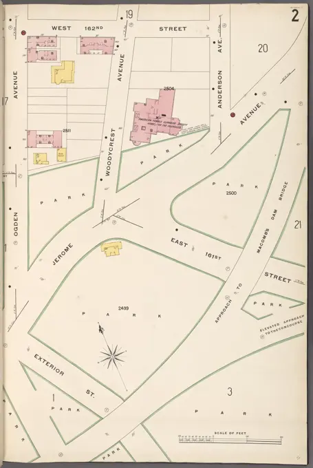
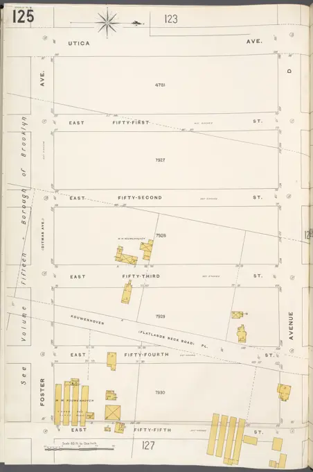
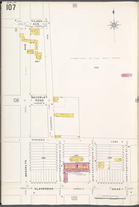
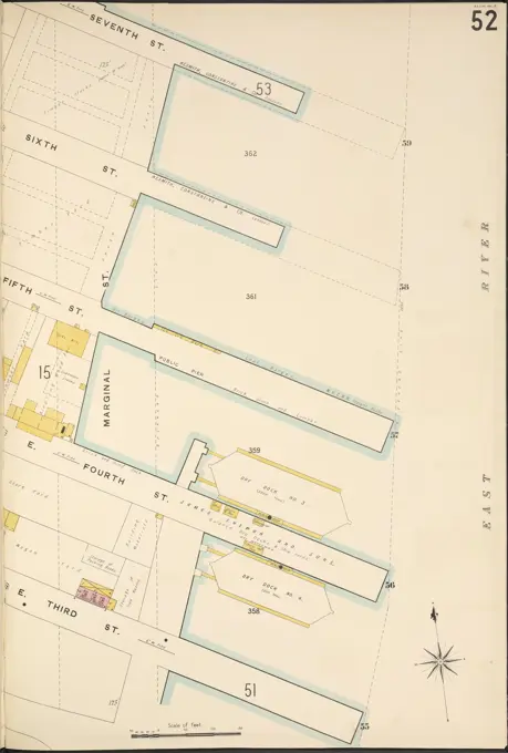
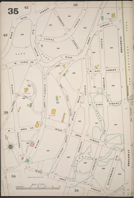
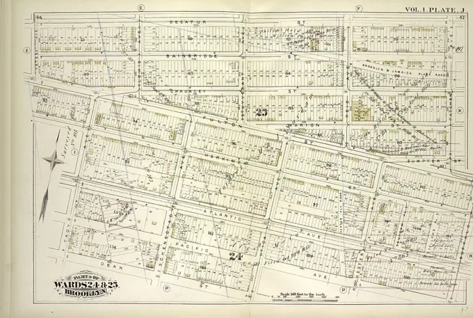
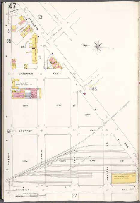
Fire insurance maps from the early 20th century reflecting property details, streets, and urban planning in Bronx and Brooklyn, providing insights into real estate.

Fire insurance maps from the early 20th century reflecting property details, streets, and urban planning in Bronx and Brooklyn, providing insights into real estate.