My Boards
View Pictures
  • My Boards
← Documents & Records

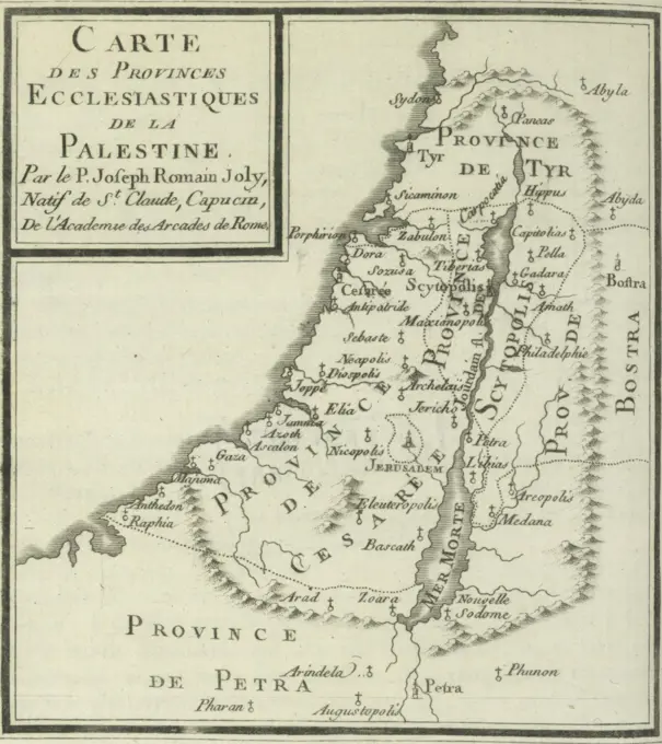
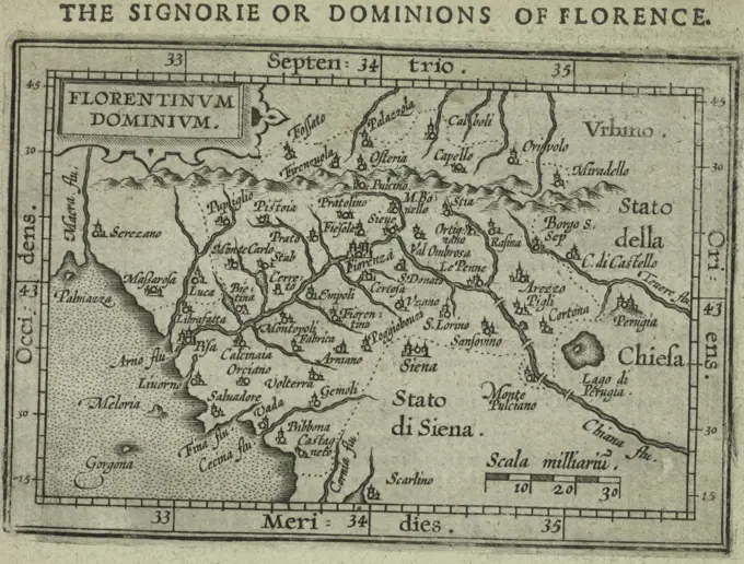
Vintage Maps of Regions

Early cartographic prints depicting various regions in Europe and North America, showcasing detailed geographical features and historical context.

Britannia Ducatus - Duché de Bretaigne , Brittany France, Maps, Early works to 1800 Norman B. Leventhal Map Center Collection
308 assets in this story
4443-75466633
Carte des provinces ecclésiastiques de la Palestine, issued in 1784 by A. Jombert in Paris. The image measures 11.5 x 10.5 cm
6145-59242764
Map of the French South Coast near Antibes, 1726, 1726 print Map of the French south coast at Antibes. Plate no. 141 in part VI of the print work: Les Forces de l'Europe, Asie, Afrique et Amerique ... Comme Aussi Les Cartes des Côtes de France et d'Espagne from 1726, this first part with 238 by hand numbered Plates of renowned strong cities and fortresses in the context of the Spanish War of Succession 1701-1713. For the most part, these records have been copied to the anonymous French records of renowned strong cities and forces: in Les Forces de l'Europe and in: Le Theater de la Guerre, Dans Les Pays-Bas, both originally published by Nicolas de Fer in Paris (1693-1697) in the context of the Nine Years' War. Inscriptions in French. print maker: Northern Netherlandspublisher: Leiden paper engraving maps of separate countries or regions France
6145-52359439
Cyprus Insula. Cartographic. Maps, Atlases. 1603. Lionel Pincus and Princess Firyal Map Division. Geography, Cyprus
4443-75472746
La Mans, Cenomanorum Typus, Additional, Lemans, or Le Maine, or Manseaux, 1603, London, Publisher, Printed for Ieames Shawe, and are to be solde at his shoppe nigh Ludgate, Atlases, Geography, Norway, France
6188-61002869
Biblical map Biblical map, lithograph by Jacob Goldzweig, 1893, Jewish Museum Berlin, designed by Polish architect Daniel Libeskinds , Berlin, Germany, Europe Copyright: xZoonar.com/BartomeuxBalaguerxRotgerx 21723892
463-3780
St. Augustine, Florida Map Postal Museum, Berlin
4443-75475652
Florentinum Dominium, 1603, by James Shawe. Additional, The Signorie or Dominions of Florence. Published in London by Ieames Shawe, available at his shop near Ludgate. Subjects include Atlases, Geography, Norway, Florence (Italy), and the Arno River (Italy)
6145-43535592
Print; etching
PREVIOUS
of 4
NEXT
2401 S. Ervay, Suite 206
Dallas, Texas 75215
United States
Get Started
Free ResearchMy BoardsMy Cart
For Creators
How To License Your ContentContributor PortalFrame of Mind
Resources
API accessPricing
Contact
+1 866 236 0087help@viewpictures.co.uk Contact form
©2026 View Pictures. All Rights Reserved. -A
This site is protected by reCAPTCHA and Google Privacy Policy and Terms of Service apply.