Vintage New York City Ward Maps
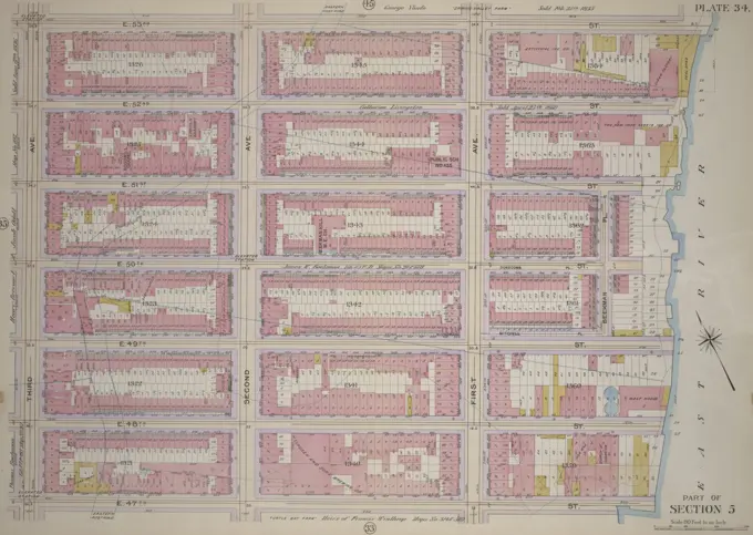
Historic maps representing different wards in Manhattan, showcasing property layouts and boundaries. Each map is detailed with colorful annotations from the late 19th to early 20th century.

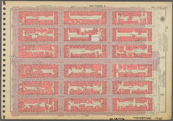
Historic maps representing different wards in Manhattan, showcasing property layouts and boundaries. Each map is detailed with colorful annotations from the late 19th to early 20th century.