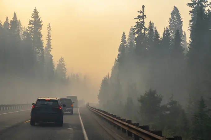
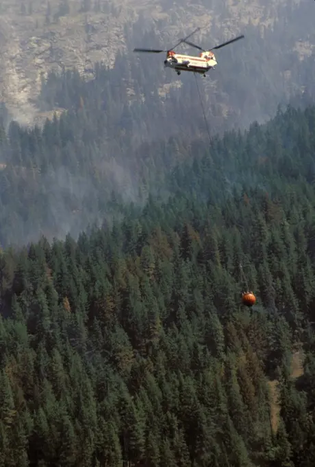
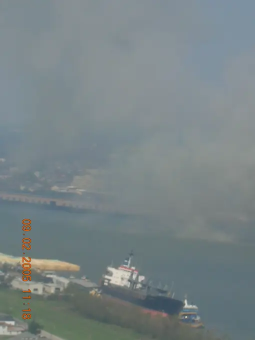
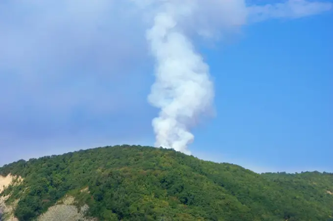
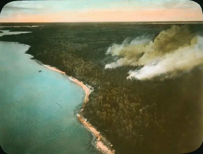
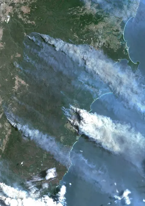
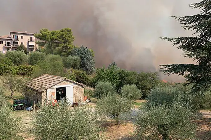
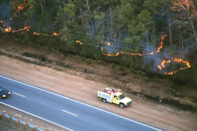
My Boards
View Pictures
  • My Boards

Wildfires Impacting Forests

Dramatic images of wildfires affecting hills and forests, showcasing smoke and firefighting efforts, including helicopters and flames.

Forest fire in hills above Lake Atitlan, Guatemala, Central America
235 assets in this story
1525-19838361
Farmers do a controlled burn before plowing after harvest
6145-51987859
Waldo Canyon Fire. Colorado Weber Fire. Photographs Relating to Disasters and Emergency Management Programs, Activities, and Officials
7172-70208379
USA, Washington State, North Cascades National Park. Vehicles drive through forest fire smoke.
6145-52928125
Visit of Secretary Dirk Kempthorne to Boise National Forest, Idaho, to meet with Forest Service officials and firefighters, and to observe effects of the summer's Middle Fork Complex and Sheep Trail Fires
6145-45148419
iss053e317742 (Dec. 6, 2017) --- Expedition 53 Commander Randy Bresnik aboard the International Space Station took this photo of the California wildfires in the Los Angeles on Dec. 6, 2017.
1899-53869
Washington. Lake Chelan National Recreation Area. Flick Creek Forest Fire. Helicopter Carrying Water In A Bambi Bucket To Fight The Fire.
4409-50103766
Ávila, 11-18-2007.Fire in Navarrevisca, Ávila.Photo: M. Martin..................... Archdc.
6145-44971566
This visible image of California's Rim Fire was acquired Aug. 23, 2013 by the Multi-angle Imaging SpectroRadiometer (MISR) instrument on NASA's Terra spacecraft, showing extensive, brownish smoke.
6145-48902789
Lava from the Kilauea eruption in Hawaii engulfs a greenhouse in Kapoho, Hawaii, June 2, 2018. The building was photographed from a UH-60 Black Hawk helicopter during a mission to survey possible landing zones for evacuation of residents in the area. (Hawaii Army National Guard
4286-30760
Pollutants surge from oil refinery near Billings, Montana.
4070-28602969
Cumbre Vieja volcano erupting at night, threatening a house in El Paso village, La Palma, Canary Islands, September 2021
6145-52079334
ESU St. Louis - Assessment - 26-HK-316-21. Hurricane Katrina
6188-64809605
blow-off smoking volcano blow-off Copyright: xZoonar.com/DmitryxShabanovx 1246477
6145-58925925
Transparency - Forest fire protection by aeroplane, MB, about 1927
6145-52927102
Visit of Secretary Dirk Kempthorne to Boise National Forest, Idaho, to meet with Forest Service officials and firefighters, and to observe effects of the summer's Middle Fork Complex and Sheep Trail Fires
7172-70157325
Papua New Guinea, New Britain Island, Rabaul Harbor. Smoke and ash are constantly emitted from this volcano near Rabaul Harbor.
6188-56065097
Burnt trees in forest after wildfire in National Park in Portugal, aerial drone view Burnt trees in forest after wildfire in National Park in Portugal, aerial drone view Copyright: xZoonar.com/marcinxjuchax 21202389
6145-52927846
Visit of Secretary Dirk Kempthorne to Boise National Forest, Idaho, to meet with Forest Service officials and firefighters, and to observe effects of the summer's Middle Fork Complex and Sheep Trail Fires
6162-75534981
Aerial view of smoke billowing across the landscape, contrasting with the urban and rural divide, a scene of environmental impact, Osijek, Osijek-Baranja County, Croatia.
1899-18415969
Color satellite image of bushfires in Batemans Bay on the South Coast region of New South Wales, Australia. Image collected on December 31, 2019 by Sentinel-2 satellites.
1848-50155352
Clouds of smoke over Cinigiano, forest fire, wildfire, Cinigiano, province of Grosseto, Tuscany, Italy, Europe
1848-55336075
Forest fire in July 2008, Rhodes Island, Greece, Europe
6145-52928069
Visit of Secretary Dirk Kempthorne to Boise National Forest, Idaho, to meet with Forest Service officials and firefighters, and to observe effects of the summer's Middle Fork Complex and Sheep Trail Fires
1525R-232381
Birdseye View of Burning Fire
6145-51987818
High Park Fire. Colorado High Park Wildfire. Photographs Relating to Disasters and Emergency Management Programs, Activities, and Officials
6145-54319052
Fire   Wildfire - Boulder, Colo. , January 8, 2009   Houses where save by a burn out operation on the Old Stage Fire having a defensible space around the house gave the fire fighters this option. Photo: Micahel Rieger/FEMA. Colorado Olde Stage Fire. Photographs Relating to Disasters and Emergency Management Programs, Activities, and Officials
1848-50155349
Clouds of smoke over Cinigiano, forest fire, wildfire, Cinigiano, province of Grosseto, Tuscany, Italy, Europe
6145-52618170
U.S. Fish and Wildlife Service crews routinely burn overgrown brush (hazardous fuels) to lessen the chance of catastrophic fire. Prescribed fire mimics historic fire regimes. Subjects: Fire; Roads; Prescribed burning.  . 1998 - 2011.
6145-52926461
Visit of Secretary Dirk Kempthorne to Boise National Forest, Idaho, to meet with Forest Service officials and firefighters, and to observe effects of the summer's Middle Fork Complex and Sheep Trail Fires
1848-50153877
Forest fire
1848-50155083
Forest fire
6145-52904488
Secretary Gale Norton, right, receiving briefing from Forest Service staff during visit to the scene of the Battle Creek fire in Pennington County inthe Black Hills of South Dakota, for discussions with federal, state, local officials and firefighting personnel
6145-52904511
Secretary Gale Norton, far right, and Fish and Wildlife Service Director Steve Williams, far left, receiving briefing from Forest Service staff duringvisit to the scene of the Battle Creek fire in Pennington County, South Dakota, for discussions with federal, state, local officials and firefighting personnel
6145-45260450
On August 23, 2013, the Moderate Resolution Imaging Spectroradiometer (MODIS) on NASAs Aqua satellite acquired this image of the drought-fueled Rim fire burning in central California, near Yosemite National Park. Red outlines indicate hot spots where MODIS detected unusually warm surface temperatures associated with fires. Winds blew a thick smoke plume toward the northeast. A smaller fire—American fire—burned to the north. The lower image is a photograph that shows the fire burning at night on August 21. Started on August 17, 2013, the fast-moving fire had already charred more than 100,000 acres (40,000 hectares) by August 23, despite the efforts of more than 2,000 firefighters. Hundreds of people were forced to evacuate their homes, and roads in the area were closed. As of August 23, no structures had been reported destroyed, but the fire threatened the towns of Groveland and Pine Mountain Lake. By late August, wildfires had burned 3.4 million acres in the United States, making 2013
4409-50069016
Madrid, 02/12/2005. Windsor skyscraper fire. Photo: Jordi Romeu Archdc.
PREVIOUS
of 3
NEXT
2401 S. Ervay, Suite 206
Dallas, Texas 75215
United States
Get Started
Free ResearchMy BoardsMy Cart
For Creators
How To License Your ContentContributor PortalFrame of Mind
Resources
API accessPricing
Contact
+1 866 236 0087help@viewpictures.co.uk Contact form
©2026 View Pictures. All Rights Reserved. -A
This site is protected by reCAPTCHA and Google Privacy Policy and Terms of Service apply.