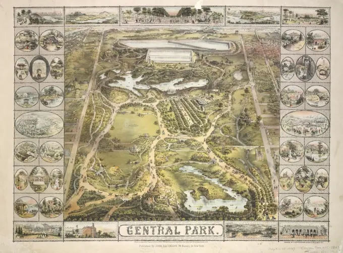
Aerial Views of Historical Towns

Illustrations showcasing bird's-eye views of various towns in the U.S. from the late 19th century, highlighting buildings and landscapes in detailed, artistic renderings.

Wakefield and Peace Dale, Rhode Island : 1888. Bird's-eye view. Includes ill. and index to points of interest.... , Rhode Island  , Washington  ,county   , Wakefield Rhode Island  , Washington  ,county   , Peace Dale
Wakefield and Peace Dale, Rhode Island : 1888. Bird's-eye view. Includes ill. and index to points of interest.... , Rhode Island , Washington ,county , Wakefield Rhode Island , Washington ,county , Peace Dale
Charing Cross and Strand, Time of Edward VI, Illustration from the Book, "John Cassels Illustrated History of England, Volume II", text by William Howitt, Cassell, Petter, and Galpin, London, 1858Photograph 2/3 forming a panorama of Uxmal, Augustus and Alice Dixon Le Plongeon papers, 1763-1937, bulk 1860-1910, Le Plongeon, Augustus, 1826-1908, Albumen, 187-, Yucatan--stamp on mount. Ruins of Uxmal. Temple of Death--written on verso in hand of Augustus Le Plongeon.Vignette on the stationery dated 1846, found among old papers from Hagby. Different owner conditions have meant that the farm consulted both Järle Bruk and Hammarby use. See also Sahlin 189.Central Park. Heppenheimer, Frederick, -1878. Maps. 1863. Lionel Pincus and Princess Firyal Map Division. Central Park (New York, N.Y.)Clayton, Delaware : 1885 , Clayton Del., Aerial views Norman B. Leventhal Map Center CollectionUS Historical Documents. Photographs of Marshall Plan Programs, Exhibits, and PersonnelProposed development of Fairbanks Park, Dedham, Mass , Real estate development, Massachusetts, Dedham, Dedham Mass., Aerial views Norman B. Leventhal Map Center CollectionFryer Hill was part of Leadville, in Colorado, which was known as the most famous mining town in the world.Marriage Announcement-Ernest Haskell and Emma Loveland Laumeister. Artist: Ernest Haskell (American, Woodstock, Connecticut 1876-1925 West Point, Maine). Dimensions: Sheet: 5 7/16 × 6 15/16 in. (13.8 × 17.6 cm)Plate: 2 7/8 × 4 3/4 in. (7.3 × 12 cm). Date: 1920.Announcement of the marriage of the artist to his second wife. Image depicts Coral de Terra, California. Museum: Metropolitan Museum of Art, New York, USA.MAP OF PASADENA, 1893.The Point of Pines, Revere, Mass : on the Atlantic Ocean, eight miles north east of Boston : the most beautiful sea shore resort in New England, bathing, boating, pic-nic grounds. Bird's-eye view.... , Massachusetts  , Suffolk  ,county   , RevereHöganäs coal grapes chronology.ur Carl Sahlin mountain historical collection.Birds eye view of Black Hawk, Colorado 1882.