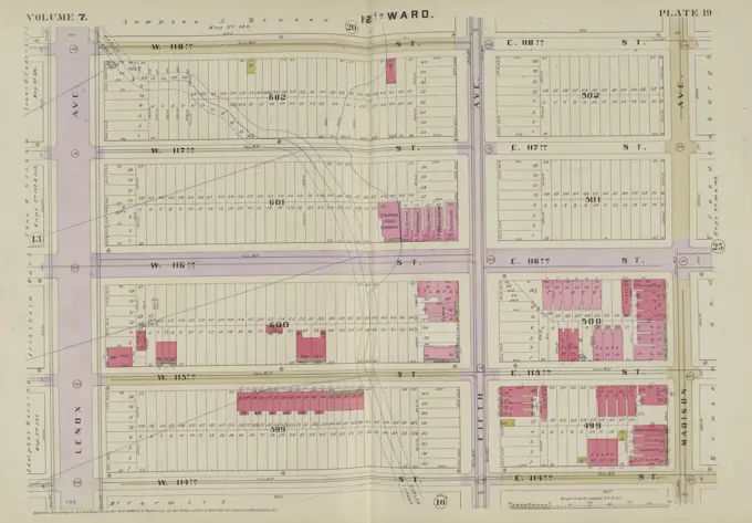
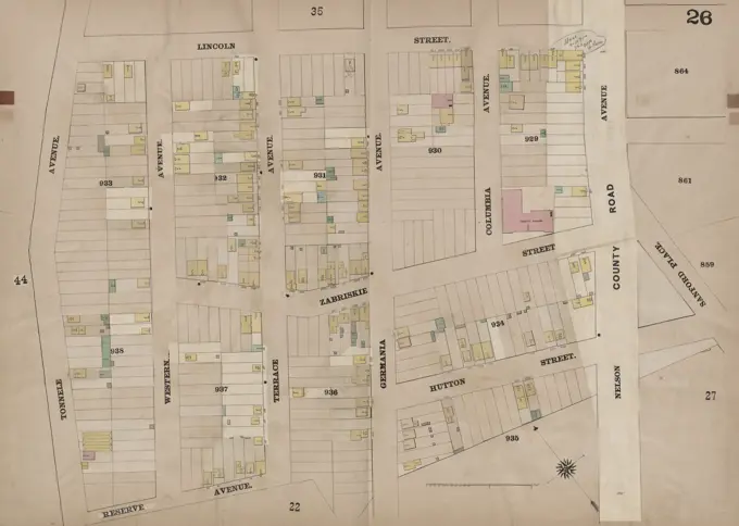
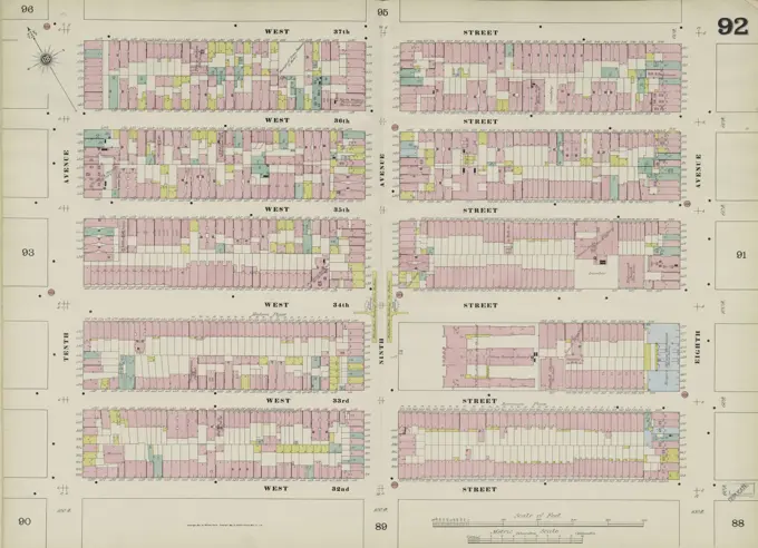
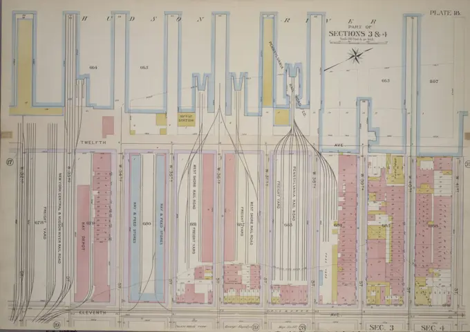
Fire Insurance Maps of New York
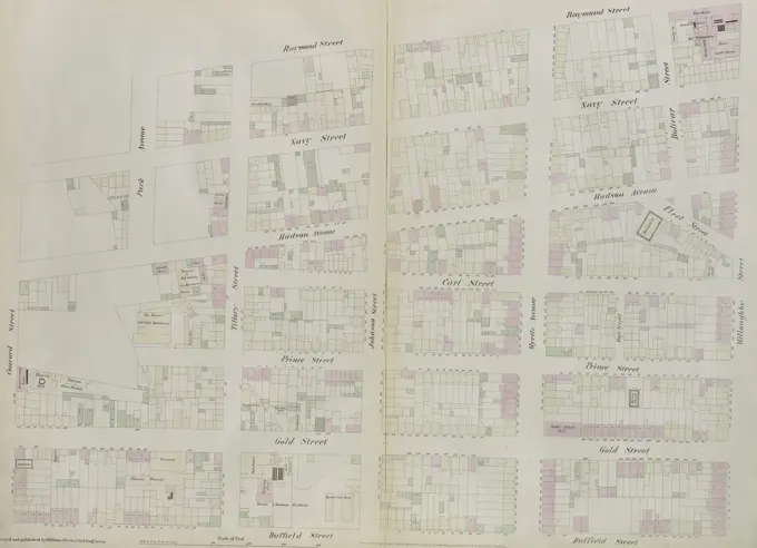
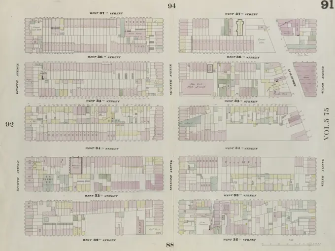
Detailed cartographic maps illustrating urban layouts and properties for fire insurance, covering various Manhattan and Queens neighborhoods from the 19th century.

Detailed cartographic maps illustrating urban layouts and properties for fire insurance, covering various Manhattan and Queens neighborhoods from the 19th century.