My Boards
View Pictures
  • My Boards

Historical Maps of Exploration

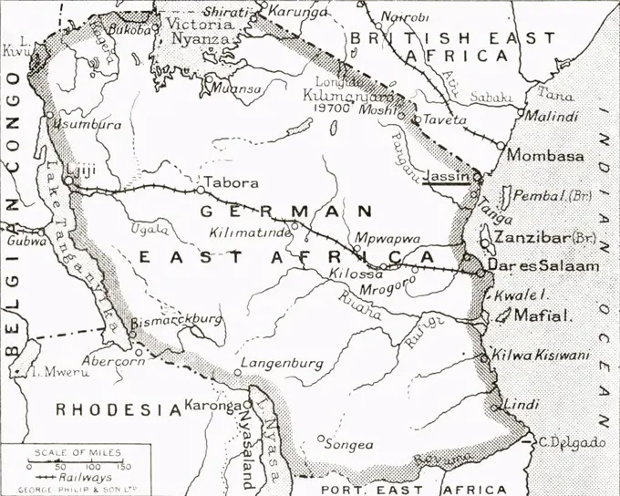
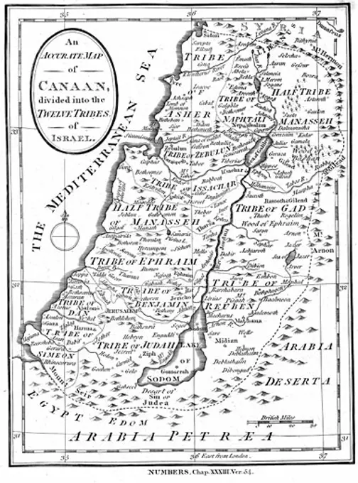
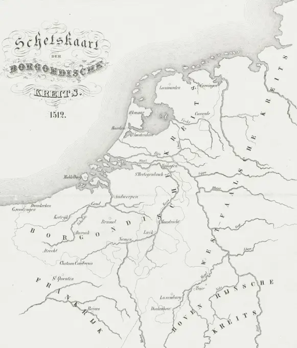
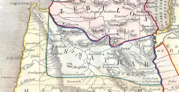
A collection of vintage maps depicting various regions, including South America, East Africa, and the Netherlands, showcasing intricate details and historical significance.

Old map of East Africa used by explorer Heinrich Barth. Africa. Travels and discoveries in Northern and Central Africa, 1849-1855 by Heinrich Barth (1821-1865) Le Tour du Monde 1860
165 assets in this story
6176-66085144
Map of the central part of the Argentine confederation. Argentina, South America. Adventures and misadventures of Mrs. Libarona in the Gran Chaco 1840-1841
6145-29094926
1855 Spruner Map of Asia in the 5th Century ( Sassanid Empire )
6145-29095190
1862 Johnson's Map of The Vicinity Of Richmond and Peninsular Campaign in Virginia
6145-29095512
1870 Johnson Map of Turkey, Persia, Arabia, Balochistan (cropped-El Hassa or El Hejer)
1525-28017464
Map of Switzerland,  vintage engraved illustration. Dictionary of words and things - Larive and Fleury - 1895.
6176-66091911
Old map of Noumea region, New Caledonia. Journey to New Caledonia by Jules Garnier 1863-1866 from Le Tour du Monde 1867
1889-60417167
Map of the United Staes showing extent of settlement in 1790.  From A Short History of the World, published c.1936
1525-27921861
Agricultural map of the Northwest Region, vintage engraved illustration. Magasin Pittoresque 1861.
1525-21021629
Map of the Atlantic Ocean and the French Coastline, vintage engraved illustration. Dictionary of Words and Things - Larive and Fleury - 1895
4220-21930410
A map of Yorkshire, from the mid 18th century.     Date: Mid 18th century
6145-29094925
1855 Spruner Map of Asia During Chang Dynasty China ( Tufan Tibet )
6145-29096255
1794 Anville Map of Ancient Greece
6145-29095945
Oman. 1870 Johnson Map of Turkey, Persia, Arabia ( Iran, Iraq, Afghanistan )
6176-66920021
Map of The World according to Strabo, AD 18 and the World according to Mela, AD 43
6176-67070665
''Les oasis de Libye; Le Nord-Est Africain', 1914. From "Grande Geographie Bong Illustree", 1914.
1899-20292
Map of German East Africa, showing Jassin, scene of one of Britain's campaigns. From The Illustrated War News published 1915.
1525-28031400
Topographical Map of the Department of Lot-et-Garonne in Aquitaine, France, vintage engraved illustration. Dictionary of Words and Things - Larive and Fleury - 1895
6145-45773040
Map of the area around the city names, besieged by the French army, 1692; Carte Private Des Mouvements Faits Et Des Postes Occupéz Par les Armées de France et Celles des Confederez Pendant Le Siege de Namur. Map of the area around the city Namur, Besieged by the French Army, 25 May - 30 June 1692. In the map the army places of the different armies. At the bottom right a decoration with a rooster on top of a mountain that mocks down three lions.
6176-66916564
Map of Long Island showing the Long Island Railroad 1895
6145-50568819
Turcicum imperium , Middle East, Maps, Early works to 1800, Turkey, Maps, Early works to 1800 Norman B. Leventhal Map Center Collection
6145-52359098
Map schowing the distribution of the Ocellated Pheasants. Beebe, William (1877-1962). Cartographic. Maps. 1918 - 1922. General Research Division. Pheasants, Asia, Southeastern
6176-66098649
This map shows the Balkan States in 1921. The map appeared in a Danish book, thus the names of the sites are in Danish.
1746-219
Map of Canaan divided into the territories of the Twelve Tribes of Israel as described in the Bible, Numbers 23:54, c.1830, Engraving
1525-24689570
Map of Department of Alpes-Maritimes, vintage engraved illustration. Dictionary of words and things - Larive and Fleury - 1895.
1788-21789397
Theatre of operations during the Russo-Japanese war, indicating the places affected by the conflict (Port Arthur and Tsushima), from L'Illustrazione Italiana, Year XXXI, No 7, February 14, 1904.
6145-50565911
Karte des russisch-türkischen kriegsschauplatzes in Europa und Asien , Black Sea region, Maps, Turkey, Maps, Balkan Peninsula, Maps Norman B. Leventhal Map Center Collection
1525-28026721
Map of Palestine, vintage engraved illustration. Dictionary of words and things - Larive and Fleury - 1895.
6176-66080437
Antique map of Burton and Speke's Journey to the Great Lakes of East Africa. Journey to the Great Lakes of East Africa, 1857-1859 by British explorer Richard Francis Burton (1821-1890) Le Tour du Monde 1860
1525-28062075
Map of United States of New Granada, vintage engraved illustration. Le Tour du Monde, Travel Journal, (1872).
4443-75459872
Map titled 'Nouveau Mexique, Louisiane, Canada, et les Etats Unis,' issued in 1786 in Paris by publisher Chez Desnos, located at rue St. Jacques au Globe. This map depicts the regions of New Mexico, Louisiana, Canada, and the United States
6145-51396789
Mapa comercial de la república de Peru , Railroads, Peru, Maps, Peru, Maps Norman B. Leventhal Map Center Collection
1525-28066717
The Roman Empire in the imperial era, vintage engraved illustration. From the Universe and Humanity, 1910.
1525-27749499
Freshwater lakes from central France to the Miocene period, vintage engraved illustration. From Natural Creation and Living Beings.
1525-28017494
Topographical Map of the Alps, vintage engraved illustration. Dictionary of Words and Things - Larive and Fleury - 1895
1848-19254529
Stadtplan, 1892, St. Petersburg, Russland, digital restaurierte Reproduktion einer Originalvorlage aus dem 19. Jahrhundert
6176-67057357
'Tracks of the Terra Nova', 1910-1913, (1913). Artist: Unknown.
6176-67062953
Map of the Crimea, c1888.Artist: Walker & Boutall
4443-73257727
Netherlands, Binger, Charles, Hofdijk, Willem Jacob, Sketch map of the Borgondische Kreits. 1512, Map of the Burgundian circle, 1512, print, pictorial print, map, prints, Frederik Muller Historieplaten, height 240 mm, width 203 mm, Work conception, 1816-06-27 - 1888-08-29, after a design by, 1853 - 1861, third quarter 19th century, paper, lithography (technique), Dutch, 1830-02-25 - 1916, printer
6145-29095907
Issachar. 1852 Philip Map of Palestine - Israel - Holy Land
6176-67037895
Geographical map of the north-eastern section of India, early 20th century. Artist: Unknown.
6176-66099840
Roman World in 510 B.C.
1889-60422336
Map showing the distribution of the Hellenic Races, 1000 - 800 BC.  From the book Outline of History by H.G. Wells, published 1920.
4128-48285337
Map of the Lake of Mexico City, 19th century illustration
1525-24689987
Asia, vintage engraved illustration. Dictionary of words and things - Larive and Fleury - 1895.
1899-18856747
Colonel Sir Mark Sykes, 6th Baronet (born Tatton Benvenuto Mark Sykes; 16 March 1879 - 16 February 1919) was an English traveller, Conservative Party politician and diplomatic adviser, particularly about matters respecting the Middle East at the time of the First World War. He is associated with the Sykes-Picot Agreement, drawn up while the war was in progress, regarding the apportionment of postwar spheres of interest in the Ottoman Empire to Britain, France and Russia. François Marie Denis Georges-Picot (Paris, 21 December 1870 - Paris, 20 June 1951), son of historian Georges Picot and grand-uncle of Valéry Giscard d'Estaing, was a French diplomat who signed the Sykes-Picot Agreement during World War I, with the Englishman, Sir Mark Sykes, dividing up the Ottoman Empire into British, French and, later, Russian and Italian spheres of influence. He was responsible along with Sykes for the annexation of Arab lands and their incorporation into British and French empires.
1889-60422281
Map of the Mongol States c. 1280 AD and Marco Polo's travels.  From the book Outline of History by H.G. Wells, published 1920.
6176-66904418
The Ming Empire (in yellow) under the Yongle Emperor, in the year 1415
6145-46758785
Kiirunavaara.Kiruna Many Kronology.ur Carl Sahlin Mountain History Collection.
1899-19706
Partial map of Turkey Kurdistan Iraq Persia Middle East in 1890s From The Citizen's Atlas of the World published London circa 1899
6145-52359109
Zones of Mohammedan and Christian progress Cartographic. Maps. 1917. Schomburg Center for Research in Black Culture, Jean Blackwell Hutson Research and Reference Division. Muslims, Missions , Africa
6176-67078080
'First Mongol Raid (Hulagu), circa 1400 A.D.', c1915. Map of civilisations in the Middle East during the early 15th century: Byzantine, other Christian states, Bahri Mamluks, Ilkhans and Tributary states. Also showing Hulagu Khan's route, the eastern Mediterranean, Red Sea, Caspian Sea, Black Sea and Persian Gulf. From "The Caliphs' Last Heritage, a short history of the Turkish Empire" by Lt.-Col. Sir Mark Sykes. Macmillan & Co, London, 1915
1899-18852416
Rājputāna (Hindi: ाजपूताना ) was the name adopted by British government for its dependencies in the region of present-day Indian state of Rājasthān. Rajputana included 18 princely states, two chiefships and the British district of Ajmer-Merwara. This British official term remained official till its replacement by Rajasthan in the constitution of 1949.
6145-52359110
Johannesburgthe Hub of South Africa Cartographic. Maps. 1917. Schomburg Center for Research in Black Culture, Jean Blackwell Hutson Research and Reference Division. Muslims, Missions , Africa
6176-66905089
Palestine - As Promised and as possessed - Old Testament
1899-19769
Eastern Trade Routes during the period of the Roman Empire From the book The Quest for Cathay by Sir Percy Sykes published 1936
1899-18788273
A detailed and remarkably accurate map of Burma, Siam, Vietnam, Cambodia and Malaya dating from 1886 and showing the rectangle of independent Burma around Mandalay - which was losing its independence to Great Britain in 1885-1886 when the map was published. The Burmese Shan States are shown as under Burmese influence (shortly to be replaced by that of Great Britain), while the (Siamese) 'Shan States' of the former Lan Na Kingdom at Chiang Mai (Zimme) and the Lao Kingdom of Luang Phrabang are shown as de facto tributaries of Siam. Within the Chiang Mai portion of the Shan States, Zimme (Chiang Mai) includes the territories of Lamphun (Labong), Lampang (Lagong) and Chiang Rai (K. Hai), but Fang and points north are shown as part of the Burmese Shan States. The 'Independent Tribes' region in Tonkin (Tonquin) corresponds to the former White Tai Princedom of Sipsongchuthai, absorbed by the French in 1882 and now a part of Vietnam. Further south, the former Lao kingdoms of Vien Chan (Vientia
6176-65988209
B&W Illustration; Map of Spain and Portugal to Illustrate the Peninsular War 1807 - 1814
1035-20589247
Palestine: September 1, 1947 A map showing the shaded areas of the Arab State recommended by U.N. Special Committee on Palestine. The unshaded areas are the Jewish State. Jerusalem and its environs, including Bethlehem, would be internationalized under a United Nations trusteeship.
6145-54276410
American Far West. Photographs of Marshall Plan Programs, Exhibits, and Personnel
6176-66094817
Vintage Map of of the third Mission of the "Citroen Expedition, Central Asia", from Beyrouth to Beijing (Pekin) with a map of the route of the race, the profile of mountains along the route.  by G.M. Haardt and L.Audouin-Dubreuil. 1931
6145-55913602
Erez Israel = Erets Yisraʼel : adamah ʻIvrit. Relief shown by hypsometric tints and hill shading. Shows Jewish areas in Palestine.... , Palestine  ,area
1746-19678063
Armistice lines agreed at the Rhodes conference in 1949; following the Israeli War of Independence 1949
1746-19678057
Peel commission Map of the Partition of Palestine 1937
1525-25209264
Vector map of Laos country colored by national flag
4409-28578164
Computer graphics about Biblical manuscripts that were found in the Middle East and Europe. QuarkXPress (.qxp); 4960x3188.
PREVIOUS
of 2
NEXT
2401 S. Ervay, Suite 206
Dallas, Texas 75215
United States
Get Started
Free ResearchMy BoardsMy Cart
For Creators
How To License Your ContentContributor PortalFrame of Mind
Resources
API accessPricing
Contact
+1 866 236 0087help@viewpictures.co.uk Contact form
©2026 View Pictures. All Rights Reserved. -A
This site is protected by reCAPTCHA and Google Privacy Policy and Terms of Service apply.