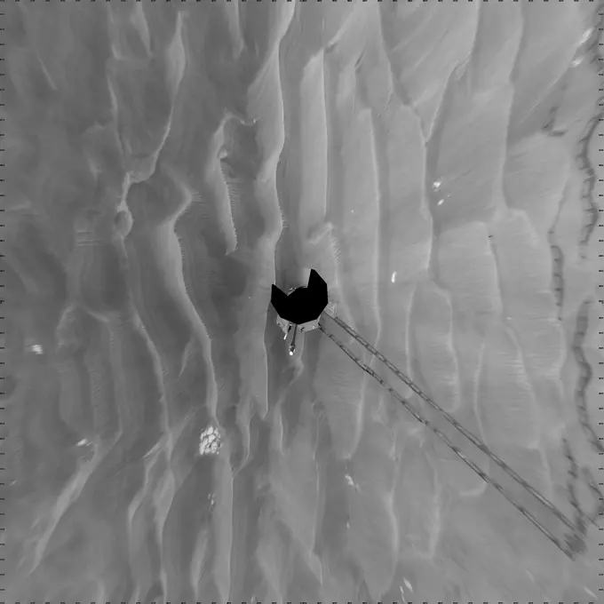
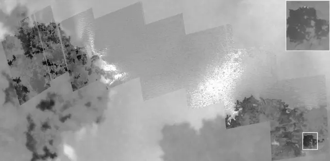
My Boards
View Pictures
  • My Boards

Mars Exploration Imagery

Black and white high-resolution images of the Martian surface, showcasing craters, wind patterns, and the desert-like landscape of Mars.

Opportunity's Surroundings After Sol 1820 Drive (Vertical)
237 assets in this story
6145-44673219
On sol 1120 (February 26, 2007), the navigation camera aboard NASA's Mars Exploration Rover Spirit captured one of the best dust devils it's seen in its three-plus year mission.
6145-44503288
Jupiter's Ring
6145-44561494
Three dimensional Visualization of Jupiter's Equatorial Region
6145-44727922
This frame from a sequence of nine images taken by the Surface Stereo Imager on NASA's Phoenix Mars Lander shows the sun rising on the morning of the lander's 101st Martian day after landing.
6145-44561781
'Barnacle Bill' is a small rock immediately west-northwest of NASA's Mars Pathfinder lander and was the first rock visited by the rover Sojourner. 3D glasses are necessary to identify surface detail.
6145-44708141
This image shows a sample of Martian soil resting on a screen over the opening to one of the eight ovens of the Thermal and Evolved-Gas Analyzer instrument (TEGA) on NASA's Phoenix Mars Lander.
1439R-995007
Skeletal muscle
6145-54031707
Hawaii - Mauna Loa, Aerial Photograph.
6145-44629048
Opportunity View on Sol 397
6145-52300990
Aerial view of a part of the area affected during the flood disaster of 1953. Note: The description of this photo is not yet complete and will be supplemented on the basis of the data available at a later stage. However, of many photos of the flood disaster 1953, the location is unknown.
6145-44493288
Arsia Mons. The three large aligned Tharsis volcanoes are Arsia Mons, Pavonis Mons and Ascreaus Mons (from south to north). There are collapse features on all three volcanoes, on the southwestern and northeastern flanks. This alignment may indicate a large fracture/vent system was responsible for the eruptions that formed all three volcanoes. This VIS image shows part of the southern flank of Arsia Mons. The linear features are graben. Arsia Mons is the southernmost of the Tharsis volcanoes. It is 270 miles (450km) in diameter, almost 12 miles (20km) high, and the summit caldera is 72 miles (120km) wide. For comparison, the largest volcano on Earth is Mauna Loa. From its base on the sea floor, Mauna Loa measures only 6.3 miles high and 75 miles in diameter. A large volcanic crater known as a caldera is located at the summit of all of the Tharsis volcanoes. These calderas are produced by massive volcanic explosions and collapse. The Arsia Mons summit caldera is larger than many volcanoe
6145-54676555
Mastcam-Z Views the Eastern Edge of Jezero's Delta. NASA's Perseverance rover used its Mastcam-Z camera to capture this enhanced color view of the eroded eastern edge of the delta within Mars' Jezero Crater on April 7, 2022, the 402nd Martian day, or sol, of the mission. A deposit of boulders, at the edge of the delta, may have been moved there by high-energy floods in the ancient past. Perseverance will be exploring and sampling boulder deposits like this one in 2023 after dropping off its first cache of samples at a site called Three Forks as part of the Mars Sample Return campaign. A key objective for Perseverance's mission on Mars is astrobiology, including the search for signs of ancient microbial life. The rover will characterize the planet's geology and past climate, pave the way for human exploration of the Red Planet, and be the first mission to collect and cache Martian rock and regolith (broken rock and dust). Subsequent NASA missions, in cooperation with ESA (European Space
6145-44594508
This anaglyph, from NASA's Shuttle Radar Topography Mission, is of Malaspina Glacier in southeastern Alaska. 3D glasses are necessary to view this image.
6145-44619414
'Endurance' All Around (Polar)
6145-45135447
As summer approaches in Titan's northern hemisphere, NASA's Cassini spacecraft has been monitoring Titan, anticipating an increase in cloud activity at high northern latitudes.
6145-44630869
'Lookout Panorama' from Spirit
6145-52302211
Aerial view of a part of the area affected during the flood disaster of 1953. Note: The description of this photo is not yet complete and will be supplemented on the basis of the data available at a later stage. However, of many photos of the flood disaster 1953, the location is unknown.
6145-44578578
On June 10, 2002 the Moon obscured the central portion of the solar disk in a phenomenon known as an annular solar eclipse as NASA's Terra satellite flew over the Pacific.
6145-44558371
Bright and Dark Slopes on Ganymede
6145-44627983
Opportunity's View After Sol 321 Drive (Vertical)
6145-45090306
A Shot in the Dark
6145-52280306
Aerial view of a part of the area affected during the flood disaster of 1953. Note: The description of this photo is not yet complete and will be supplemented on the basis of the data available at a later stage. However, of many photos of the flood disaster 1953, the location is unknown.
6145-45297191
The THEMIS VIS camera contains 5 filters. The data from different filters can be combined in multiple ways to create a false color image. These false color images may reveal subtle variations of the surface not easily identified in a single band image. Today's false color image is located in Aram Chaos. Aram Chaos was initially formed by a large impact. Over time the crater interior was modified by several different processes, including liquid water. Located near Ares Vallis, a narrow channel links the Aram Chaos crater with Ares Vallis indicating a substantial amount of water was located in the crater. Chaos forms from erosion of the surface into mesa features. With time the valleys expand creating the jumble of hills seen in the image. Orbit Number 79214 Latitude 2.40411 Longitude 340.023 Instrument VIS Captured 2019-10-23 19 10
6145-45101054
This image from the Chemistry and Camera (ChemCam) instrument on NASA's Curiosity Mars rover shows detailed texture of a rock target called 'Elk' on Mars' Mount Sharp.
6145-44512423
Galileo Takes a Close-up Look at Prometheus
6145-45067810
Like a giant eye for the giant planet, Saturn's great vortex at its north pole appears to stare back at Cassini as NASA's Cassini spacecraft stares at it.
6145-44526588
Panorama view of Apollo 17 Lunar surface photos for use in presentations to NASA management and for Outreach Education in regard to new NASA initiative for human planetary research. Photo numbers used for this panoramic include: Apollo 17 start frame AS17-138-21053 thru end frame AS17-138-21073. View is of Station 2, taken during the second Extravehicular Activity (EVA) 2.
6145-44639076
Meteor Search by Spirit, Sol 643
6145-44667056
These two images, taken about eight minutes apart, show clump-like structures and a great deal of dust in Saturn's ever-changing F ring
6145-44556803
This is a false-color composite of Jupiter's northern aurora on the night side of the planet. The height and thickness of the auroral arc, and the small-scale structure were revealed for the first time by NASA's Galileo orbiter on April 2, 1997.
6145-44677548
CRISM Mulitspectral Map of Eastern Candor Chasma
6145-44839549
'Intrepid' Crater on Mars (False Color)
6145-44631625
This view is an enlargement of an image of NASA's Mars Odyssey spacecraft taken by the Mars Orbiter Camera aboard NASA's Mars Global Surveyor while the two spacecraft were about 90 kilometers (56 miles) apart.
6145-44777976
NASA's Deep Space Network, Goldstone radar images show triple asteroid 1994 CC, which consists of a central object approximately 700 meters (2,300 feet) in diameter and two smaller moons that orbit the central body. Animation available at the Photojournal
6145-45258136
Recent images of features in Saturn's C ring called plateaus have deepened the mystery surrounding them. It turns out that these bright bands have a streaky texture that is very different from the textures of the regions around them. The central feature in this image, called Plateau P5, is found approximately 52,700 miles (84,800 kilometers) from Saturn's center. It is situated amid some undulating structure that characterizes this region of the C ring. None of this structure is well understood. This image reveals that the plateau itself is shot through with elongated streaks. This provides information about ways in which the ring particles are interacting with each other, though scientists have not yet worked out what it all means. A more clumpy texture, similar to the straw seen previously in the A ring. Plateau regions are brighter than their surroundings, and have sharp edges. Recent evidence indicates that the plateaus do not actually contain more material than their surroundings,
6145-44562059
Coordinate Map of Rocks at Pathfinder Landing Site
6145-44663076
Three-Frame 'Movie' of Opportunity Rover at 'Victoria Crater'
PREVIOUS
of 3
NEXT
2401 S. Ervay, Suite 206
Dallas, Texas 75215
United States
Get Started
Free ResearchMy BoardsMy Cart
For Creators
How To License Your ContentContributor PortalFrame of Mind
Resources
API accessPricing
Contact
+1 866 236 0087help@viewpictures.co.uk Contact form
©2026 View Pictures. All Rights Reserved. -A
This site is protected by reCAPTCHA and Google Privacy Policy and Terms of Service apply.