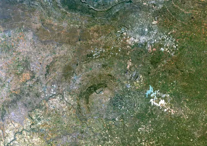
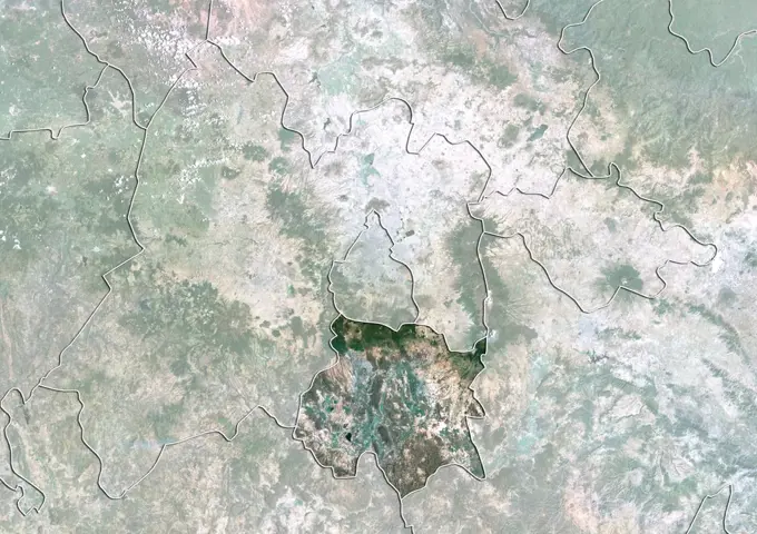
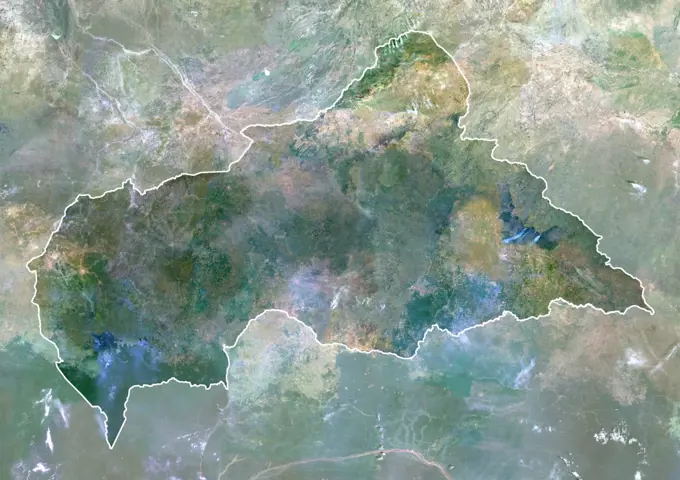
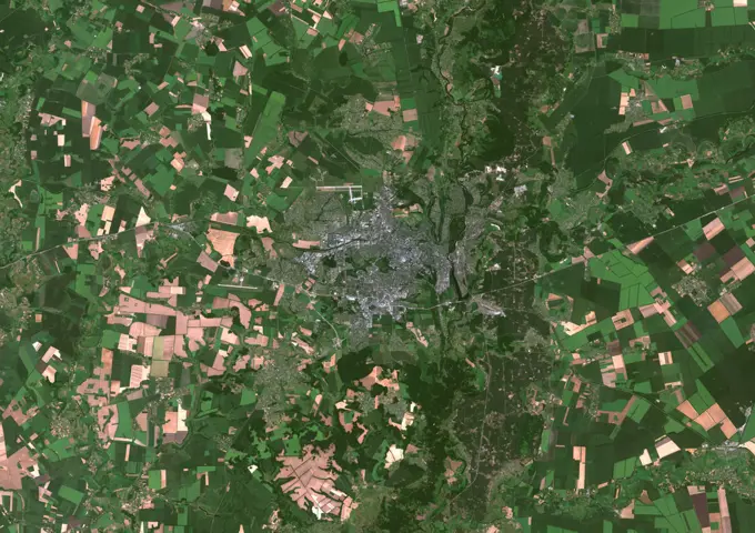
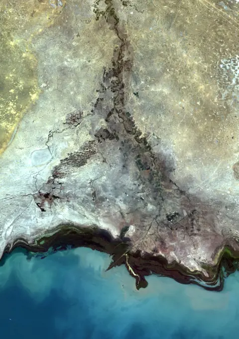
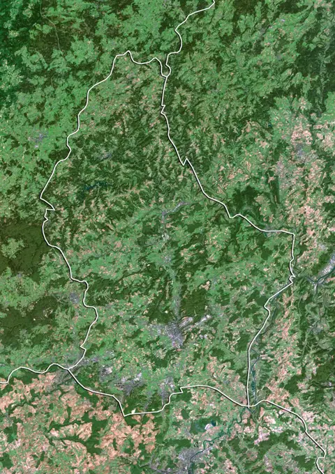
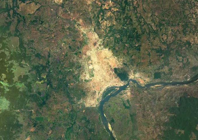
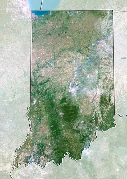
Satellite Imagery of LandscapesHigh-resolution satellite images of diverse geological features, including urban areas and natural formations, showcasing Earth’s surface. Colour satellite image of Cairo, Egypt. Image taken on December 16, 2013 with Landsat 8 data. 273 assets in this story1899-535181331899-535177111899-212902601899-350161899-535180236145-446324181899-350311899-796286145-450191551899-535180271899-809846145-589719221899-809871899-535181841899-346051899-212902831899-212903431899-352696145-448345631899-189848431899-820161899-819401899-184160801899-191906771899-219895941899-347436145-451022391899-535183136145-445067821899-353146145-445746041899-191906696145-444760761899-358126145-448609446145-445276211899-800336145-449767261899-212902181899-219896631899-347611899-353606145-444696541899-535180581899-535180596145-450930931899-356811899-212902846145-445048216145-449447721899-212902816145-445743951899-535183951899-219895816145-445723341899-535181351899-535178116145-452284916145-445741536145-448311816145-448598806145-450974931899-347336145-449322601899-822446145-448283441899-212901851899-212902776145-447239811899-350821899-820126145-445746161899-219898391899-818921899-348776145-450609831899-212903036145-446851536145-449355526176-619710736145-546761901899-353181899-212904931899-212901686145-445741616145-447709396145-445751491899-535180261899-535178821899-219898411899-212904021899-346531899-212902666145-450895561899-212897201899-219899031899-212894911899-212903301899-347326145-44575132 PREVIOUS of 3 NEXT