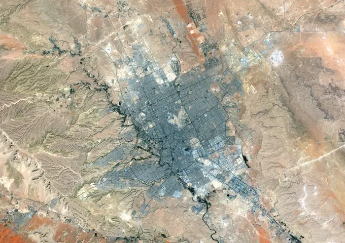
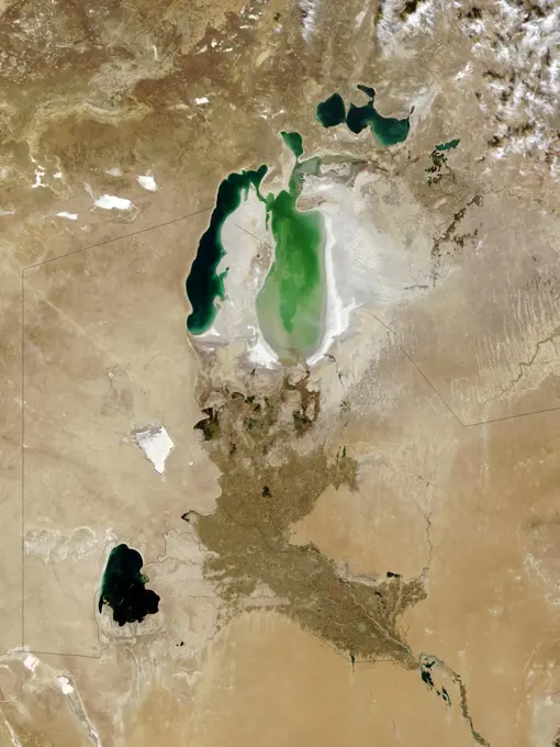
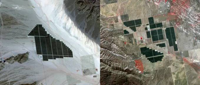
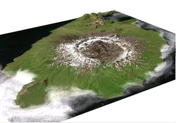
My Boards
View Pictures
  • My Boards
← Science

Satellite Imagery of Landscapes

Aerial views captured from space, focusing on diverse geographical features in regions like Utah and Morocco, showcasing rivers and mountainous terrain.

Color satellite image of Bhutan in the Eastern Himalayas, with borders and mask.
152 assets in this story
6145-54684036
. iss069e060329 (Aug. 15, 2023) --- Glaciers in the Pamir mountain range located in The Republic of Tajikistan are pictured from the International Space Station as it orbited 264 miles above Central Asia.
1848-76865899
Detailed view of the Nazca lines running through the sandy landscape, the geoglyphs and paintings in the desert near Nasca and Palpa in Peru
1899-21989785
Color satellite image of Riyadh, capital city of Saudi Arabia. Image collected on October 23, 2017 by Sentinel-2 satellites.
6145-44760981
ISS019-E-011922 (28 April 2009) --- Mauna Kea Volcano in Hawaii is featured in this image photographed by an Expedition 19 crewmember on the International Space Station. The island of Hawaii is home to four volcanoes monitored by volcanologists  Mauna Loa, Hualalai, Kilauea, and Mauna Kea. Mauna Kea is depicted in this view; of the four volcanoes, it is the only one that has not erupted during historical times. The Hawaiian Islands chain, together with the submerged Emperor Chain to the northwest, form an extended line of volcanic islands and seamounts that is thought to record passage of the Pacific Plate over a hotspot (or thermal plume) in the Earths mantle. Areas of active volcanism in the southern Hawaiian Islands today mark the general location of the hotspot. This detailed photograph illustrates why the volcano is called Mauna Kea (white mountain in Hawaiian). While the neighboring Mauna Loa volcano is a classic shield volcano comprised of dark basaltic lava flows, Mauna K
6145-44685634
ISS015-E-28002 (12 Sept. 2007) --- A section of Dinosaur National Monument along the Yampa River in Colorado, which straddles the Colorado/Utah border, is featured in this image photographed by an Expedition 15 crewmember on the International Space Station. Dinosaur National Monument is perhaps best known for the abundant fossils found in the approximately 145 Ma (mega-annum, or millions of years old) Morrison Formation exposed in valleys and low ridges, according to scientists. The fossil assemblage is a unique record of terrestrial life of the period (dinosaurs, plants, and other animal species). Remains accumulated in streams and shallow lakes and were swiftly buried (and preserved) by sediments associated with those environments. Scientists believe these sediments in turn were lithified over many millions of years as they were buried under younger deposits -- forming the distinctive stratigraphy of the Monument. The generally flat-laying "layer cake" geology of the region -- simila
1746-19661402
The Aral Sea, October 2008. Once fourth largest inland sea, in southern Kazakhstan and northern Uzbekistan it has divided into three bodies of water. Major cause of shrinkage due to diversion of water to agriculture. Credit NASA.
6145-44976721
Earth observation taken during a day pass by an Expedition 37 crew member on board the International Space Station (ISS). Identified via Twitter message as Wyoming to British Columbia.
6145-44517697
Barringer Crater, also known as 'Meteor Crater,' is a 1,300-meter (0.8 mile) diameter, 174-meter (570-feet) deep hole in the flat-lying desert sandstones 30 kilometers (18.6 miles) west of Winslow, Arizona.
6145-44967369
Earth observation taken during a day pass by an Expedition 36 crew member on board the International Space Station (ISS).
6145-44966156
Earth observation taken during a day pass by an Expedition 36 crew member on board the International Space Station (ISS). Photo downlinked to folder Colorado wild fires.
1899-34873
Oil Extraction, Kirkouk, Iraq, True Colour Satellite Image. Oil extraction in the region of Kirkouk, 250 km North of Baghdad ; down below on the image are blakek fumes created by a flare. Image taken on 16 April 1993 using LANDSAT data.
1848-76865847
Mystery of the Nazca Lines on dry hills, observed from the air, The geoglyphs and images in the desert near Nasca and Palpa in Peru
6145-44519297
This color image of the Simpson Desert in Australia was obtained by NASAs Galileo spacecraft at about 2:30 p.m. PST, Dec. 8, 1990, at a range of more than 35,000 miles.
4197-62718912
Location, aerial landscape and Earth with satellite image, mountain and valley, city or village. Nature, background and view from above with map and topography, country and geography with aerospace
6145-58966865
ISS028-E-016239 (12 July 2011) --- A crew member on the joint STS-135/Expedition 28 aggregation photographed this image of parts of Mexico, including Baja California the Gulf of Cortez. Ten astronauts and cosmonauts are currently aboard the joint Atlantis/station complex sharing chores. This photo opportunity presented itself on July 12 -- a very busy spacewalk day.
6145-44604908
On November 18, 2003, NASA's Terra satellite acquired this image of the Old Fire/Grand Prix fire east of Los Angeles.
1899-18984835
Landsat Image of the Novarupta / Katmai Area - 1990.
6145-45299313
Starting December 13, 2020, a strong eruptive episode began at Mt. Etna's New SE summit crater. Lava fountains produced a new lava flow, traveling to the SW. The fresh lava is hot enough to be incandescent, and appears as a red snake issuing from the crater's flank. The lava fountain appears as a separate red area at the crater's summit. A faint gray plume streams southeastward from the crater. Analysis of the thermal infrared data reveals that the plume's composition is dominated by SO2. The image was acquired December 15, 2020, covers an area of 12 by 13.5 km, and is located at 37.7 degrees north, 15 degrees east.
6145-44578321
ISS005-E-5416  (18 June 2002) --- This photograph, taken by the International Space Station&#0146;s Expedition Five crew on June 18, 2002, shows the Hayman Fire burning in the foothills southwest of Denver. Astronauts use a variety of lenses and look angles as their orbits pass over wildfires to document the long-distance movements of smoke from the fires as well as details of the burning areas. In this detail view, you can see multiple smoke source points as the fire moves across the rough terrain. The link  <http://eol.jsc.nasa.gov/scripts/sseop/photo.pl?mission=ISS005&roll=E&frame=5416>  was provided by the Earth Sciences and Image Analysis Laboratory at Johnson Space Center. Additional images taken by astronauts and cosmonauts can be viewed at the NASA-JSC Gateway to Astronaut Photography of Earth link to <http://eol.jsc.nasa.gov/> .
6145-44474674
The North Aral Sea and Barsakelmes Lake in Kazakhstan are pictured from the International Space Station as it orbited 263 miles above the Central Asian nation.
1848-76865845
An overview of line patterns and geoglyphs in a desert region, the geoglyphs and patterns in the desert near Nasca and Palpa in Peru
6145-44502203
This perspective view acquired by NASA's Shuttle Radar Topography Mission (SRTM) from data collected on February 12, 2000 shows the western side of the volcanically active Kamchatka Peninsula, Russia.
1899-34968
Ardoukoba Volcano, Djibouti, True Colour Satellite Image. Ardoukoba, Djibouti, true colour satellite image. Ardoukoba is a volcano located close to Assal Lake in Djibouti. Image taken on 13 May 2000 using LANDSAT data. Print size 30 x 30 cm.
1899-53518243
Color satellite image of Tajikistan and neighbouring countries, with borders.
6145-44544594
STS068-273-060 (4 October 1994) ---  Astronauts aboard the Space Shuttle Endeavour recorded this follow-up 70mm frame of the Kliuchevskoi volcano on the Kamchatka Peninsula in Russia. The volcano was near its peak on launch day, five days earlier, but only a small steam plume was rising from the summit in this Day 5 photo. Tendrils of ash are airborne on the northern flank of the volcano. Scientists feel that the source of these plumes is from a flow down the mountain's northern flank. The entire summit region is covered in ash. As various members of the six-person crew were using handheld cameras to record the various stages of the volcano, hardware in Endeavour's cargo bay was taking radar data of the event in support of the Space Radar Laboratory (SRL-2) mission.
4197-62718936
Aerial, satellite dome in Utah and dig site from above on a rugged landscape of rough terrain in the national park. Earth, desert and nature from a drone view with a meteor crater in the ground
6145-45206012
iss059e122328 (June 23, 2019) --- Mount Shasta in California is pictured from the International Space Station as the orbital complex orbited 256 miles above the Pacific Ocean off the west coast of the United States.
6145-44508740
These images from NASA's Terra satellite images of the Ntwetwe and Sua Pans in northeastern Botswana were acquired on August 18, 2000 (Terra orbit 3553).
6145-44578897
Devon Island is situated in an isolated part of Canada's Nunavut Territory, and is usually considered to be the largest uninhabited island in the world. These images were acquired by NASA's Terra satellite on June 28, 2001.
6145-45092024
On February 15, 2015 the Desert Sunlight solar project in Californias Mojave Desert became operational. This image from NASA's Terra spacecraft shows the 550-megawatt plant generates enough electricity to power 160,000 average homes.
1848-76865881
Aerial view of the Nazca Lines in Peru with clear geoglyphs on sandy hills, the geoglyphs and images in the desert near Nasca and Palpa in Peru
4409-20917466
MAPA EN RELIEVE DEL SECTOR LEVANTINO DE ESPAÑA. Location: MUSEUM OF NATURAL HISTORY. MADRID. SPAIN.
6145-44674042
ISS015-E-05815 (30 April 2007) --- Algae in Great Salt Lake, Utah is featured in this image photographed by an Expedition 15 crewmember on the International Space Station. According to scientists, the Great Salt Lake of northern Utah is a remnant of glacial Lake Bonneville that extended over much of present-day western Utah, and into the neighboring states of Nevada and Idaho, approximately 32,000 to 14,000 years ago. During this time, the peaks of adjacent ranges such as the Promontory and Lakeside Mountains were most likely islands. As climate warmed and precipitation decreased in the region, glaciers that fed melt-water to Lake Bonneville disappeared, and the lake began to dry up. The present-day Great Salt Lake is a terminal lake in that water does not flow out of the lake basin. Water loss through the year is due primarily to evaporation, and when this loss exceeds input of water from rivers, streams, precipitation, and groundwater the lake level decreases. This is particularly ev
6145-44532825
The Nyiragongo volcano in the Congo erupted on January 17, 2002, and subsequently sent streams of lava into the city of Goma on the north shore of Lake Kivu.
6145-45050480
Earth observation taken by the Expedition 39 crew aboard the ISS. Image was released by astronaut on Twitter and downlinked in folder Punta Arenas, (Cape Horn area), Chile.
6145-45113990
NASA's Terra satellite viewed America's National Momuments and Parks in this 3D image.
6145-44657085
S65-45748 (21-29 Aug. 1965) --- Looking northeast, the Imperial Valley and Salton Sea in southern California is photographed from the Earth-orbiting Gemini-5 spacecraft. This picture was taken with a modified 70mm Hasselblad camera, using MS Ektachrome thin base film, ASA 64.
6145-44516630
ISS01-E-5316 (23 January 2001) -- Popocat&#0233;petl, or Popo, the active volcano located about 70 kilometers southeast of Mexico City, sends a plume south on January 23, 2001.  The Expedition One crew onboard the International Space Station (ISS) observed and recorded this image with a digital still camera as it orbited to the northeast of the volcano. Popo has been frequently active for six years.  On this day, the eruption plume reportedly rose to more than 9 kilometers above sea level  (for reference, Popo's summit elevation is 5426 meters).  Note the smaller ash plume below the main plume.  The perspective from the ISS allowed the crew members this unique three dimensional view. Popo is situated between two large population centers:  Mexico City (more than 18 million people, and just out of this image at right) and Puebla (about 1.2 million people), partially visible at lower left.
1899-18415836
Color satellite image of Tucson, Arizona, United States. Image collected on June 23, 2020 by Sentinel-2 satellites.
1899-35696
Mount St Helens, Washington State, Us, In 1999, True Colour Satellite Image. True colour satellite image of Mount St-Helens, an active vulcanoe (2250m high) in Washington State, US. Image taken on 7 September 1999, after its catastrophic eruption of 1980, using LANDSAT data.
6145-45259911
The Suomi NPP satellite's Visible Infrared Imaging Radiometer Suite (VIIRS) instrument captured a look at huge numbers of fires burning and the resulting smoke in central Africa on June 27, 2017. Actively burning areas, detected by VIIRS are outlined in red. The fires obscure most of the landscape in central Africa. June heralds the end of the crop season in this part of the world, and these fires may be intentional agricultural fires set by people to rid the area of left over crops and get it ready for the next season. So too some of these may also be lightning strike fires or they may be accidental fires which may have gotten out of control. The Suomi NPP satellite is a joint mission between NASA and NOAA. NASA image courtesy Jeff Schmaltz, MODIS Rapid Response Team b a href= http //www.nasa.gov/audience/formedia/features/MP_Photo_Guidelines.html rel= nofollow NASA image use policy. /a /b b a href= http //www.nasa.gov/centers/goddard/home/index.html rel= nofollow NASA Goddard Space F
6145-44700163
Longyearbyen is the administrative center of Svalbard and is located on Spitsbergen, the largest island of the Svalbard archipelago, part of the Kingdom of Norway. NASA's Terra satellite captured this image on July 12, 2003.
1899-28627964
Aerial view of Meteor Crater, Arizona --formed by the impact of a meteorite some 50,000 years ago. It measures 3900 feet in diameter and about 560 feet deep. The meteorite, called the Canyon Diablo Meteorite, was about 50 meters across.
6145-44532282
This anaglyph from the MISR instrument aboard NASA's Terra spacecraft shows the peaks of the Wasatch and Uinta Ranges in Utah. 3D glasses are necessary to view this image.
6145-44978034
Twin volcanic plumesone of ash, one of gasrose from Sicily’ Mount Etna on the morning of October 26, 2013. L’Istituto Nazionale di Geofisica e Vulcanologia (INGV) Osservatorio Etneo (National Institute of Geophysics and Volcanology Etna Observatory) reported that Etna was experiencing its first paroxysm in six months. Multiple eruption columns are common at Etna, a result of complex plumbing within the volcano. The Northeast Crater, one of several on Etna’s summit, was emitting the ash column, while the New Southeast Crater was simultaneously venting mostly gas. This natural-color image collected by Landsat 8 shows the view from space at 11 38 a.m. local time. The towering, gas-rich plume cast a dark shadow over the lower, ash-rich plume and Etna’s northwestern flank. Relatively fresh lava flows (less than a century or so old) are dark gray; vegetation is green; and the tile-roofed buildings of Bronte and Biancavilla lend the towns an ochre hue. NASA Earth Observatory image by Jesse
6145-44530213
This image is a perspective view acquired by NASA's Airborne Synthetic Aperture Radar (AIRSAR) in 2001, is of Umnak Island, one of Alaska's Aleutian Islands. The active Okmok volcano appears in the center of the island.
6145-45057349
Winter still grips the volcanoes on Russia's Kamchatka peninsula. NASA's Terra spacecraft acquired this image showing the mantle of white, disturbed by dark ash entirely covering Sheveluch volcano from recent eruptions.
1746-28998837
Site of the Mount St Helens Volcanic eruption, as it appeared in 2000. On May 18, 1980, a major volcanic eruption occurred at Mount St. Helens, a volcano located in the state of Washington, United States. The eruption (a VEI 5 event) was the only significant volcanic eruption to occur in the contiguous 48 U.S. states since the 1915 eruption of Lassen Peak in California.1 However, it has often been declared as the most disastrous volcanic eruption in United States history
6145-44628796
ISS010-E-19333 (8 March 2005) --- The spectacular mouth of the Betsiboka River in Madagascar is featured in this image photographed by an Expedition 10 crew member on the International Space Station.
6145-44920960
Earth Observations taken by Expedition 34 crewmember.
1899-21290475
Satellite view of Mount St Helens, Washington, USA in 1972 and 1999. This image shows the volcano changes before and after its catastrophic eruption on May 18, 1980.
6145-52171160
011004-F-9631D-006. Subject Operation/Series: Operation DEEP FREEZE 2001-2002 Country: Antarctica (ATA)
PREVIOUS
of 2
NEXT
2401 S. Ervay, Suite 206
Dallas, Texas 75215
United States
Get Started
Free ResearchMy BoardsMy Cart
For Creators
How To License Your ContentContributor PortalFrame of Mind
Resources
API accessPricing
Contact
+1 866 236 0087help@viewpictures.co.uk Contact form
©2026 View Pictures. All Rights Reserved. -A
This site is protected by reCAPTCHA and Google Privacy Policy and Terms of Service apply.