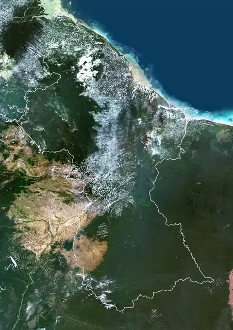
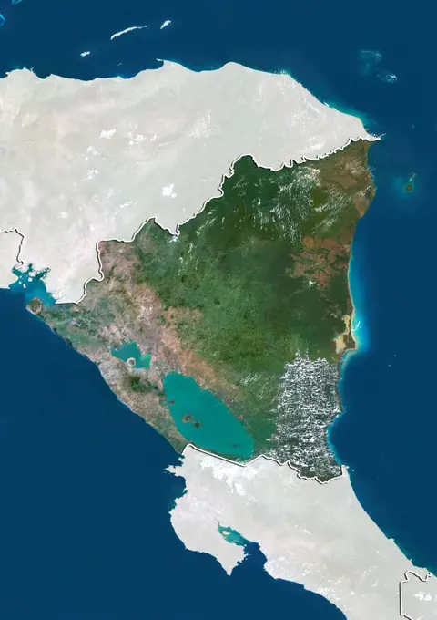
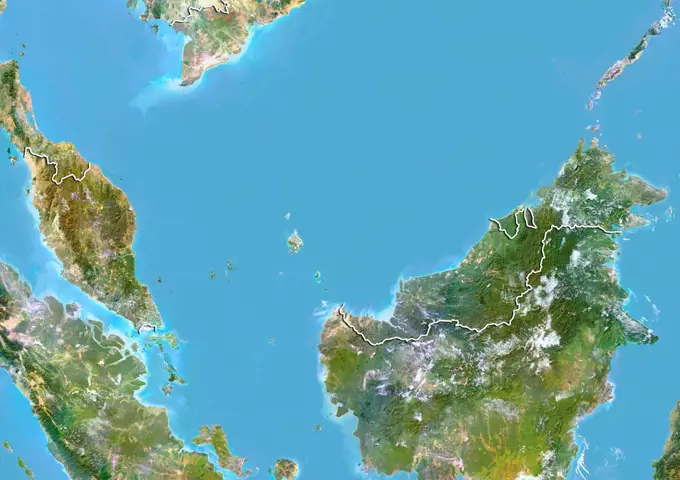
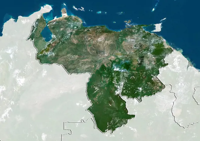
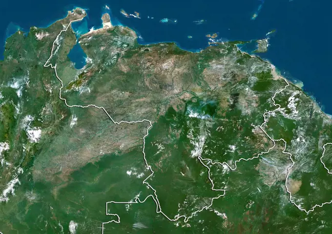
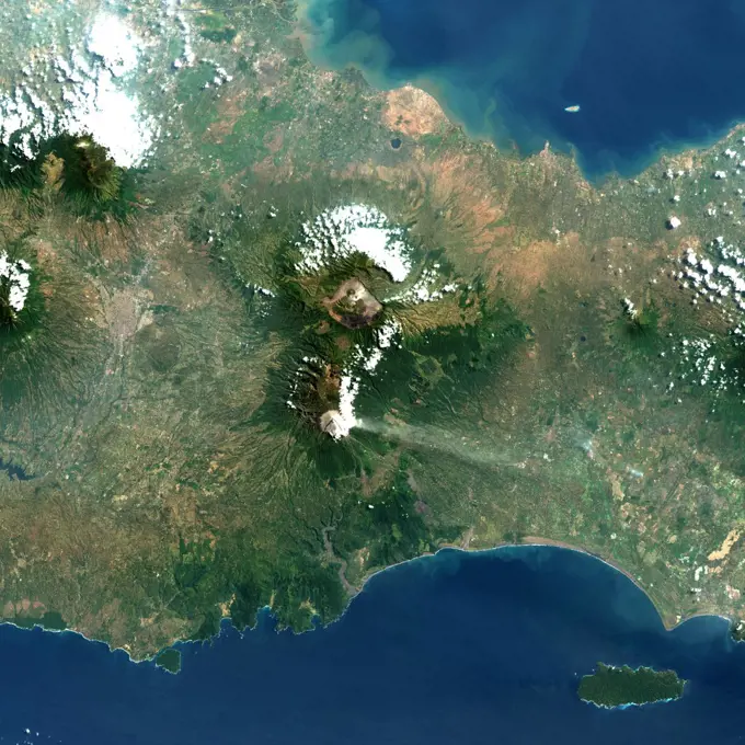
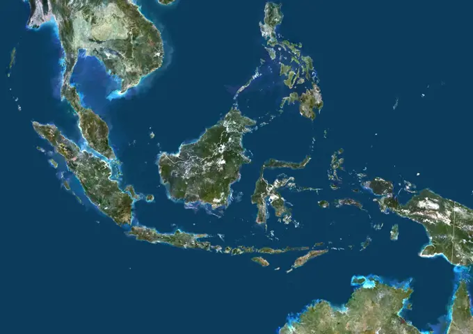
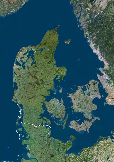
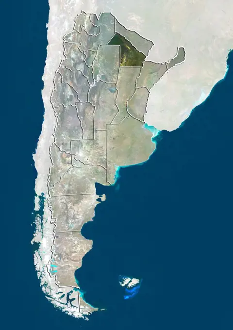
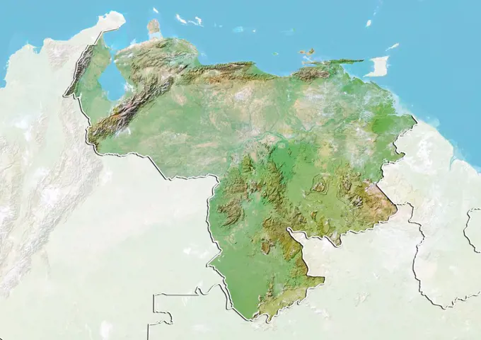
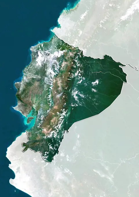
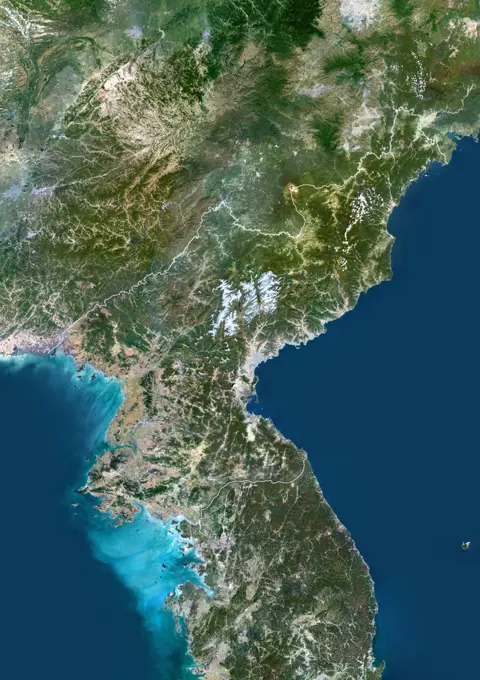
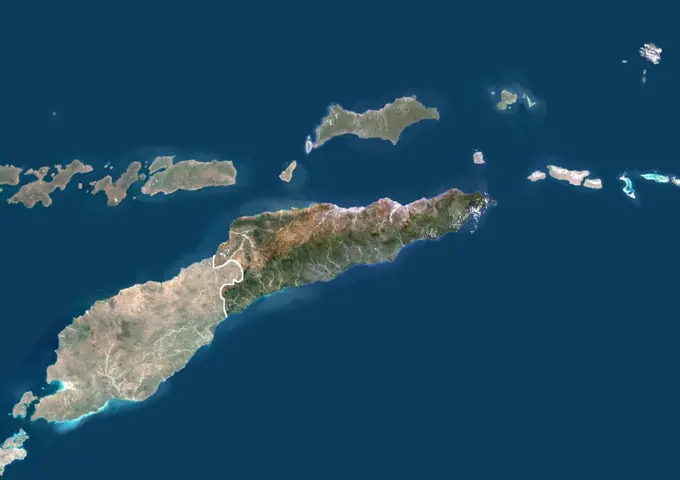
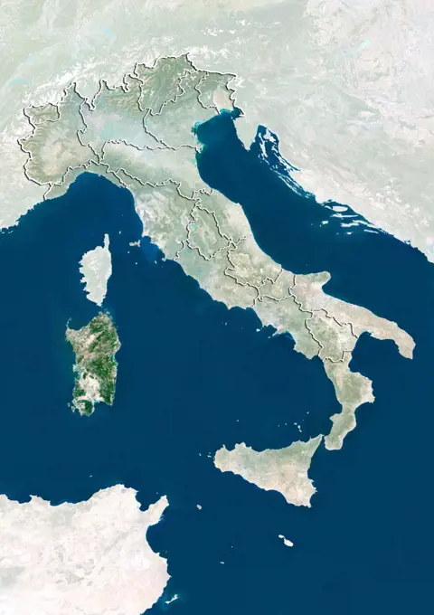
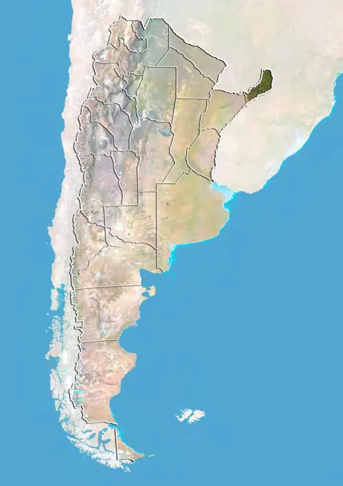
My Boards
View Pictures
  • My Boards
← Science

Satellite Imagery of South America

True-color satellite images showcasing landscapes of Guyana and surrounding regions, with borders and masks, highlighting natural features from a bird's-eye view.

Color satellite image of Ecuador, with borders and mask.
194 assets in this story
1899-35056
Guyana, South America, True Colour Satellite Image With Border And Mask. Satellite view of Guyana (with border and mask). This image was compiled from data acquired by LANDSAT 5 & 7 satellites.
1899-35055
Guyana, South America, True Colour Satellite Image With Border. Satellite view of Guyana (with border). This image was compiled from data acquired by LANDSAT 5 & 7 satellites.
1899-80118
Satellite view of Nicaragua (with border and mask). This image was compiled from data acquired by LANDSAT 5 & 7 satellites.
1899-79771
Satellite view of Dominican Republic with Bump Effect (with border and mask). This image was compiled from data acquired by LANDSAT 5 & 7 satellites.
1899-79805
Satellite view of Equatorial Guinea with Bump Effect (with border and mask). This image was compiled from data acquired by LANDSAT 5 & 7 satellites.
1899-80119
Satellite view of Nicaragua (with border). This image was compiled from data acquired by LANDSAT 5 & 7 satellites.
1899-53518299
Color satellite image of Venezuela and neighbouring countries.
1899-53517835
Color satellite image of Ecuador, with borders and mask.
1899-80050
Satellite view of Malaysia with Bump Effect (with border). This image was compiled from data acquired by LANDSAT 5 & 7 satellites.
1899-81520
Relief map of Brunei (with border and mask). This image was compiled from data acquired by landsat 5 & 7 satellites combined with elevation data.
1899-35900
Mauritius, True Colour Satellite Image. Mauritius, true colour satellite image, taken on 19 August 1999, by the LANDSAT 7 satellite.
1899-80381
Satellite view of Venezuela (with border and mask). This image was compiled from data acquired by LANDSAT 5 & 7 satellites.
1899-21289651
Satellite view of Ecuador (with country boundaries). This image was compiled from data acquired by Landsat satellites.
1899-35202
Vietnam, Asia, True Colour Satellite Image With Border. Satellite view of Vietnam (with border). This image was compiled from data acquired by LANDSAT 5 & 7 satellites.
1899-80382
Satellite view of Venezuela (with border). This image was compiled from data acquired by LANDSAT 5 & 7 satellites.
1899-35896
Haiti, True Colour Satellite Image With Border. Haiti, true colour satellite image with border. This image was compiled from data acquired by LANDSAT 5 & 7 satellites.
1899-35051
Ecuador, South America, True Colour Satellite Image With Border. Satellite view of Ecuador (with border). This image was compiled from data acquired by LANDSAT 5 & 7 satellites.
1899-53518041
Color satellite image of Malaysia and neighbouring countries, with borders.
1899-79789
Satellite view of Ecuador with Bump Effect (with border and mask). This image was compiled from data acquired by LANDSAT 5 & 7 satellites.
1899-35062
Venezuela, South America, True Colour Satellite Image With Border And Mask. Satellite view of Venezuela (with border and mask). This image was compiled from data acquired by LANDSAT 5 & 7 satellites.
1899-81808
Relief map of the province of Fujian, China. This image was compiled from data acquired by LANDSAT 5 & 7 satellites combined with elevation data.
1899-53518208
Color satellite image of South Korea and neighbouring countries.
1899-21289938
Satellite view of Guangdong and Hainan Provinces (with country boundaries). This image was compiled from data acquired by Landsat satellites.
1899-53518305
Color satellite image of Vietnam, with borders and mask.
1899-80260
Relief map of South Korea (with border and mask). This image was compiled from data acquired by landsat 5 & 7 satellites combined with elevation data.
1899-34905
Mount Pelee, Martinique, France, True Colour Satellite Image. Mount Pelée, true colour satellite image. Mount Pelée is the only active volcano on the Carribean Island of Martinique, it overlooks the town of Saint-Pierre. Image taken on 4 January 2001 using LANDSAT data.
1899-53517824
Color satellite image of Dominica, an island in the Caribbean.
1899-35431
Papua New Guinea, Asia, True Colour Satellite Image With Mask. Satellite view of Papua New Guinea (with mask). This image was compiled from data acquired by LANDSAT 5 & 7 satellites.
1899-80262
Satellite view of South Korea with Bump Effect (with border and mask). This image was compiled from data acquired by LANDSAT 5 & 7 satellites.
1899-81589
Relief map of Malaysia (with border and mask). This image was compiled from data acquired by landsat 5 & 7 satellites combined with elevation data.
1899-35036
Honduras, Central America, True Colour Satellite Image With Border And Mask. Satellite view of Honduras (with border and mask). This image was compiled from data acquired by LANDSAT 5 & 7 satellites.
1899-82097
Relief map of the region of Kanto, Japan. This image was compiled from data acquired by LANDSAT 5 & 7 satellites combined with elevation data.
1899-21289871
Satellite view of Panama Canal. This image was compiled from data acquired by Landsat satellites.
1899-80458
Satellite view of Argentina showing the province of San Luis. This image was compiled from data acquired by LANDSAT 5 & 7 satellites.
1899-80047
Relief map of Malaysia (with border and mask). This image was compiled from data acquired by landsat 5 & 7 satellites combined with elevation data.
1899-81657
Relief map of Vietnam (with border and mask). This image was compiled from data acquired by landsat 5 & 7 satellites combined with elevation data.
1899-79589
Satellite view of Argentina with Bump Effect (with border). This image was compiled from data acquired by LANDSAT 5 & 7 satellites.
1899-80312
Satellite view of Taiwan with Bump Effect. This image was compiled from data acquired by LANDSAT 5 & 7 satellites.
1899-82093
Satellite view of the region of Hokkaido, Japan. This image was compiled from data acquired by LANDSAT 5 & 7 satellites.
1899-35805
Irrawaddy Delta, Myanmar, True Colour Satellite Image. True colour satellite image of Irrawaddy Delta in Myanmar. The Irrawaddy River flows into the Bay of Bengal and Andaman Sea. On 2 May 2008, the delta suffered a major disaster, devastated by Cyclone Nargis. Composite image using LANDSAT 7 data.
1899-53518097
Color satellite image of Nicaragua and neighbouring countries.
1899-79779
Satellite view of The Dominican Republic (with border and mask). This image was compiled from data acquired by LANDSAT 5 & 7 satellites.
1899-34942
Bromo Volcano, Java Island, Indonesia, True Colour Satellite Image. Java, Indonesia, true colour satellite image. Different volcanoes are located in the 16km-wide Tengger caldera : Bromo (2329m), at the North of this view, and Semeru (3676m), a very active volcano. Image taken on 20 August 1991 using LANDSAT data. Print size 30 x 30 cm.
1899-35149
Indonesia, Asia, True Colour Satellite Image With Border. Satellite view of Indonesia (with border). This image was compiled from data acquired by LANDSAT 5 & 7 satellites.
1899-34934
Aniakchak Volcano, Alaska, Usa, True Colour Satellite Image. Aniakchak, Alaska, true colour satellite image. Aniakchak is an active volcano located on the Alaska Peninsula 670 kilometers southwest of Anchorage. The volcano consists of a dramatic, 10-kilometer-diameter, 0.5 to 1.0-kilometer-deep caldera that formed during a catastrophic eruption 3,500 years ago. Composite image dated 1999-2000 using LANDSAT data. Print size 30 x 30 cm.
1899-79760
Satellite view of Denmark (with border). This image was compiled from data acquired by LANDSAT 5 & 7 satellites.
1899-53518241
Color satellite image of Taiwan and the Chinese coast.
1899-82108
Satellite view of the region of Tohoku, Japan. This image was compiled from data acquired by LANDSAT 5 & 7 satellites.
1899-80413
Satellite view of Argentina showing the province of Chaco. This image was compiled from data acquired by LANDSAT 5 & 7 satellites.
1899-80377
Relief map of Venezuela (with border and mask). This image was compiled from data acquired by landsat 5 & 7 satellites combined with elevation data.
1899-80452
Satellite view of Argentina showing the province of Salta. This image was compiled from data acquired by LANDSAT 5 & 7 satellites.
1899-21290036
Satellite view of West Nusa Tenggara Province, Indonesia (with country boundaries and mask). The image shows the two largest islands in the province which are Lombok in the west and the larger Sumbawa island in the east. This image was compiled from data acquired by Landsat satellites.
1899-79717
Satellite view of Chile (with border and mask). This image was compiled from data acquired by LANDSAT 5 & 7 satellites.
1899-21289790
Satellite view of the Maluku Islands, Indonesia. This image was compiled from data acquired by Landsat satellites.
1899-53518066
Color satellite image of Montserrat.
1899-66842
Relief map of Sweden (with border and mask). This image was compiled from data acquired by landsat 5 & 7 satellites combined with elevation data.
1899-79791
Satellite view of Ecuador (with border and mask). This image was compiled from data acquired by LANDSAT 5 & 7 satellites.
1899-81541
Relief map of Equator (with border and mask). This image was compiled from data acquired by landsat 5 & 7 satellites combined with elevation data.
1899-21289933
Satellite view of Southeast Asia. This image was compiled from data acquired by Landsat 7 & 8 satellites.
1899-35305
Albania, Europe, True Colour Satellite Image With Mask. Satellite view of Albania (with mask). This image was compiled from data acquired by LANDSAT 5 & 7 satellites.
1899-80898
Satellite view of Japan with bump effect, showing the region of Chugoku. This image was compiled from data acquired by LANDSAT 5 & 7 satellites combined with elevation data.
1899-21289822
Satellite view of Nicaragua (with country boundaries). This image was compiled from data acquired by Landsat satellites.
1899-35892
Haiti And Dominican Republic (With Mask And Border), True Colour Satellite Image. Haiti and Dominican Republic (with mask and border), true colour satellite image. This image was compiled from data acquired by LANDSAT 5 & 7 satellites.
1899-79831
Relief map of Finland (with border and mask). This image was compiled from data acquired by landsat 5 & 7 satellites combined with elevation data.
1899-53517819
Color satellite image of Denmark and neighbouring countries, with mask.
1899-79733
Satellite view of The Comoros. This image was compiled from data acquired by LANDSAT 5 & 7 satellites.
1899-80270
Satellite view of Spain (with border and mask). This image was compiled from data acquired by LANDSAT 5 & 7 satellites.
1899-35222
Liberia, Africa, True Colour Satellite Image With Border. Satellite view of Liberia (with border). This image was compiled from data acquired by LANDSAT 5 & 7 satellites.
1899-35379
Brazil, South America, True Colour Satellite Image With Mask. Satellite view of Brazil (with mask), print size 42x42cm. This image was compiled from data acquired by LANDSAT 5 & 7 satellites.
6145-44627469
The topography of the island nation of Sri Lanka is well shown in this color-coded shaded relief map generated with digital elevation data from NASA's Shuttle Radar Topography Mission (SRTM).
1899-53518165
Color satellite image of Russia and Northern Asia.
1899-21289978
Satellite view of Timor Island, that is divided between East Timor, on the eastern part, and Indonesia, on the western part. This image was compiled from data acquired by Landsat satellites.
1899-34943
Kelimutu Volcano, Indonesia, True Colour Satellite Image. Kelimutu volcano, Indonesia, true colour satellite image. Located in central Flores, is the summit of Mount Kelimutu (1639m), with three coloured lakes. Image taken on 4 June 1991 using LANDSAT data. Print size 30 x 30 cm.
1899-79780
Satellite view of The Dominican Republic and Haiti (with border). This image was compiled from data acquired by LANDSAT 5 & 7 satellites.
1899-79565
Satellite view of Albania (with border and mask). This image was compiled from data acquired by LANDSAT 5 & 7 satellites.
1899-80909
Relief map of Japan showing the region of Kyushu. This image was compiled from data acquired by LANDSAT 5 & 7 satellites combined with elevation data.
1899-53517901
Color satellite image of Greenland.
1899-53518110
Color satellite image of North Korea and neighbouring countries, with borders.
1899-35408
Indonesia, Asia, True Colour Satellite Image With Mask. Satellite view of Indonesia (with mask). This image was compiled from data acquired by LANDSAT 5 & 7 satellites.
1899-80572
Satellite view of Brazil showing the State of Rondonia. This image was compiled from data acquired by LANDSAT 5 & 7 satellites.
6145-45297742
Los Volcanes Natural Park on Lanzarote in the Spanish Canary Islands is serving as a training ground to prepare for the next mission to the Moon and Mars. NASA and ESA use it for astronaut training and testing Mars Rovers. Astronauts are taught to become effective field geologists and geo-microbiologists in a planetary science context. The image was acquired February 14, 2014, covers an area of 32.7 by 58.5 km, and is located at 29 degrees north, 13.6 degrees west.
1899-79895
Satellite view of Haiti (with border). This image was compiled from data acquired by LANDSAT 5 & 7 satellites.
1899-81495
Satellite view of Italy with bump effect, showing Sardinia. This image was compiled from data acquired by LANDSAT 5 & 7 satellites combined with elevation data.
1899-81618
Relief map of Russia (with border and mask). This image was compiled from data acquired by landsat 5 & 7 satellites combined with elevation data.
6145-44760433
NASA's Terra spacecraft imaged the Indonesian islands of Komodo, Rintja, Padar, and Flores in the Komodo National Park. The Komodo dragon is the world's largest lizard species.
1899-35141
North Korea, Asia, True Colour Satellite Image With Border. Satellite view of North Korea (with border). This image was compiled from data acquired by LANDSAT 5 & 7 satellites.
1899-21290026
Satellite view of British and US Virgin Islands. This image was compiled from data acquired by Landsat satellites.
1899-82101
Relief map of the region of Kyushu, Japan. This image was compiled from data acquired by LANDSAT 5 & 7 satellites combined with elevation data.
1899-81791
Relief map of Prince Edward Island, Canada. This image was compiled from data acquired by LANDSAT 5 & 7 satellites combined with elevation data.
1899-35197
East Timor, Asia, True Colour Satellite Image With Border And Mask. Satellite view of East Timor (with border and mask). This image was compiled from data acquired by LANDSAT 5 & 7 satellites.
1899-81496
Satellite view of Italy showing Sardinia. This image was compiled from data acquired by LANDSAT 5 & 7 satellites.
1899-21289909
Satellite view of Sao Tome. This image was compiled from data acquired by Landsat satellites.
1899-35119
Sweden, Europe, True Colour Satellite Image With Border. Satellite view of Sweden (with border). This image was compiled from data acquired by LANDSAT 5 & 7 satellites.
1899-80167
Satellite view of Peru (with border). This image was compiled from data acquired by LANDSAT 5 & 7 satellites.
1899-80472
Satellite view of Argentina with bump effect, showing the province of Tucuman. This image was compiled from data acquired by LANDSAT 5 & 7 satellites combined with elevation data.
1899-21290405
Colour satellite image of Freetown, Sierra Leone. Image taken on May 8, 2014 with Landsat 8 data.
1899-80442
Satellite view of Argentina with bump effect, showing the province of Misiones. This image was compiled from data acquired by LANDSAT 5 & 7 satellites combined with elevation data.
1899-79829
Satellite view of Fiji with Bump Effect. This image was compiled from data acquired by LANDSAT 5 & 7 satellites.
1899-79748
Satellite view of Cyprus. This image was compiled from data acquired by LANDSAT 5 & 7 satellites.
1899-80448
Satellite view of Argentina with bump effect, showing the province of Rio Negro. This image was compiled from data acquired by LANDSAT 5 & 7 satellites combined with elevation data.
PREVIOUS
of 2
NEXT
2401 S. Ervay, Suite 206
Dallas, Texas 75215
United States
Get Started
Free ResearchMy BoardsMy Cart
For Creators
How To License Your ContentContributor PortalFrame of Mind
Resources
API accessPricing
Contact
+1 866 236 0087help@viewpictures.co.uk Contact form
©2026 View Pictures. All Rights Reserved. -A
This site is protected by reCAPTCHA and Google Privacy Policy and Terms of Service apply.