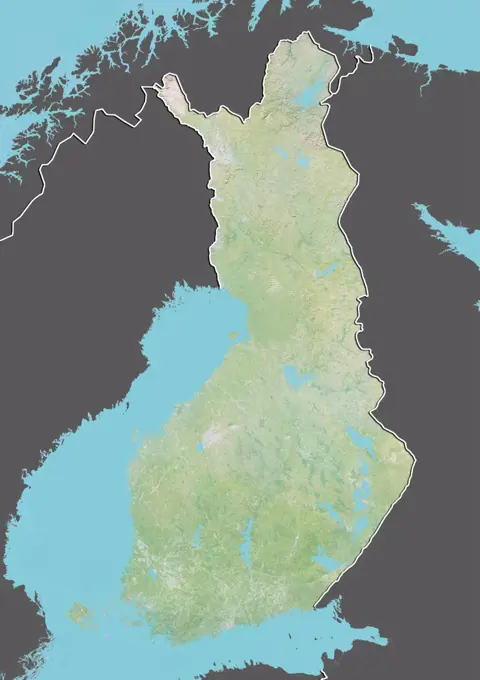
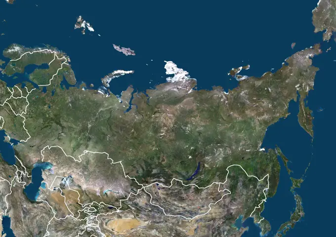
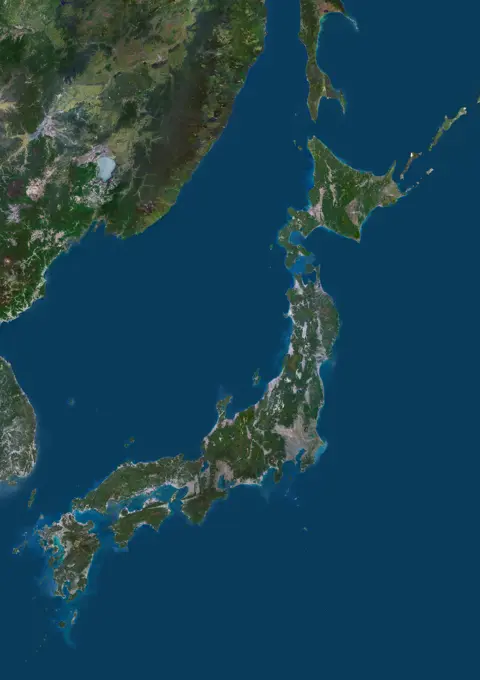
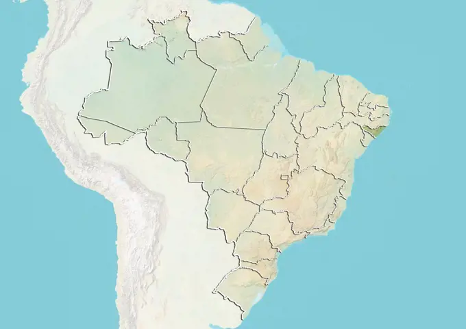
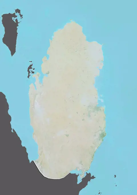
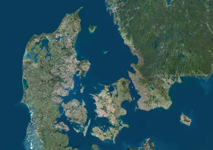
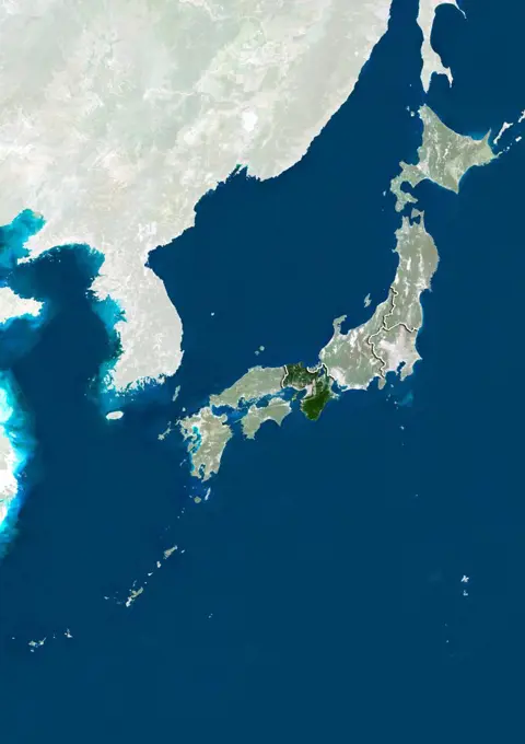
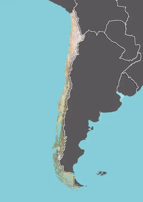
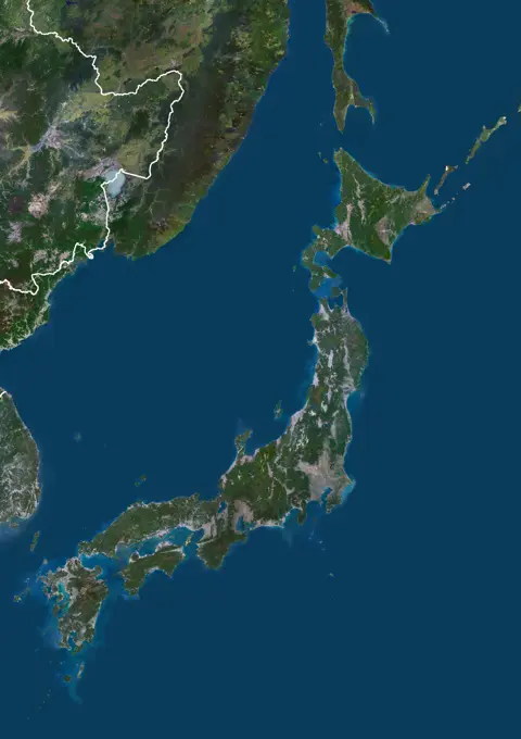
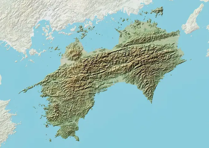
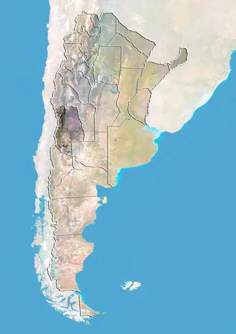
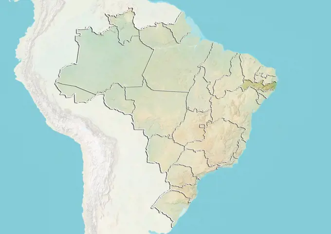
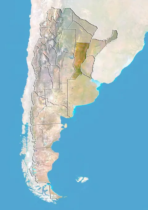
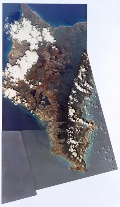
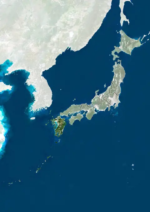
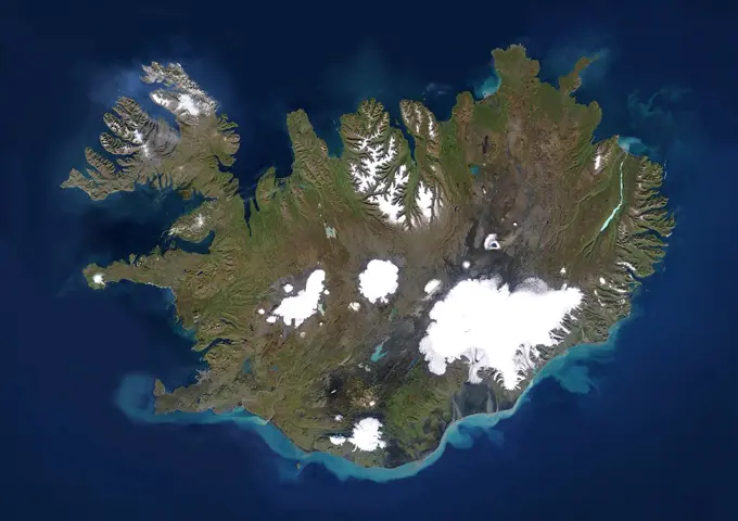
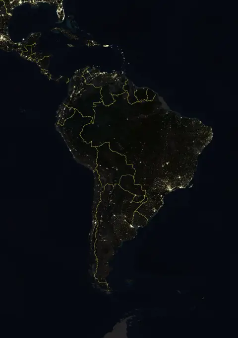
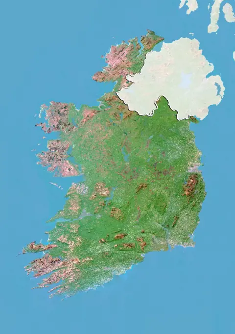
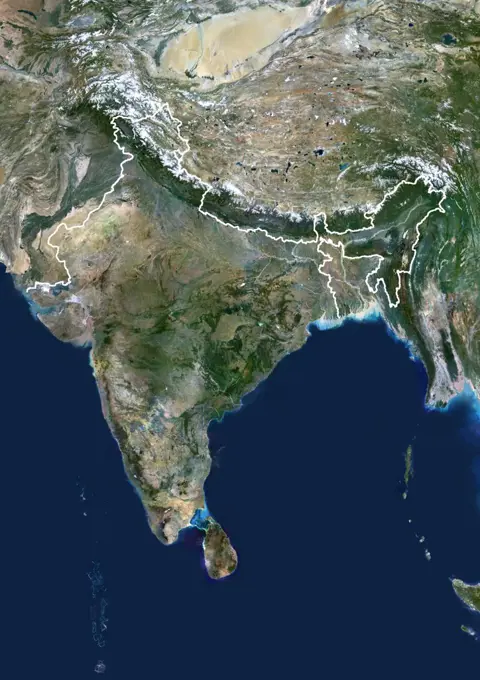
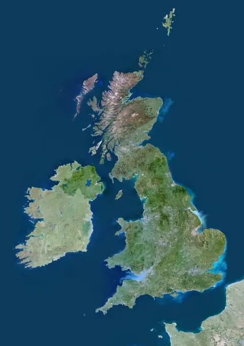
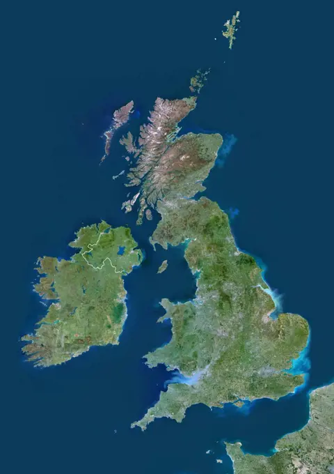
My Boards
View Pictures
  • My Boards
← Science

Satellite Imagery of South America

True-color satellite images showcasing landscapes of Guyana and surrounding regions, with borders and masks, highlighting natural features from a bird's-eye view.

Color satellite image of Ecuador, with borders and mask.
194 assets in this story
1899-80430
Satellite view of Argentina with bump effect, showing the province of Jujuy. This image was compiled from data acquired by LANDSAT 5 & 7 satellites combined with elevation data.
1899-80136
Satellite view of Norway (with border and mask). This image was compiled from data acquired by LANDSAT 5 & 7 satellites.
1899-35897
Dominican Republic, True Colour Satellite Image With Mask. Dominican Republic, true colour satellite image with mask. This image was compiled from data acquired by LANDSAT 5 & 7 satellites.
1899-79834
Satellite view of Finland (with border). This image was compiled from data acquired by LANDSAT 5 & 7 satellites.
6145-44527103
This image, acquired by NASA's Terra satellite on June 3, 2000 captured almost the entire island of Oahu, Hawaii.
1899-66756
Relief map of Finland (with border and mask). This image was compiled from data acquired by landsat 5 & 7 satellites combined with elevation data.
1899-53518167
Color satellite image of Russia and Northern Asia, with borders.
1899-80180
Satellite view of Portugal (with border and mask). This image was compiled from data acquired by LANDSAT 5 & 7 satellites.
1899-80068
Satellite view of Micronesia. This image was compiled from data acquired by LANDSAT 5 & 7 satellites.
1899-53517817
Color satellite image of Denmark and neighbouring countries, showing the border with Germany.
1899-53518109
Color satellite image of North Korea and neighbouring countries.
1899-53517967
Color satellite image of Japan and neighbouring countries.
1899-80454
Satellite view of Argentina with bump effect, showing the province of San Juan. This image was compiled from data acquired by LANDSAT 5 & 7 satellites combined with elevation data.
1899-80182
Relief map of Qatar (with border and mask). This image was compiled from data acquired by landsat 5 & 7 satellites combined with elevation data.
1899-21289862
Satellite view of Oceania. This image was compiled from data acquired by Landsat 7 & 8 satellites.
1899-80533
Relief map of Brazil showing the State of Alagoas. This image was compiled from data acquired by LANDSAT 5 & 7 satellites combined with elevation data.
1899-53517875
Color satellite image of French Guyana, with mask.
1899-21289701
Satellite view of Guinea-Bissau (with country boundaries). This image was compiled from data acquired by Landsat satellites.
1899-66823
Relief map of Qatar (with border and mask). This image was compiled from data acquired by landsat 5 & 7 satellites combined with elevation data.
1899-66754
Relief map of Estonia (with border and mask). This image was compiled from data acquired by landsat 5 & 7 satellites combined with elevation data.
1899-53517816
Color satellite image of Denmark and neighbouring countries.
1899-80905
Satellite view of Japan showing the region of Kansai. This image was compiled from data acquired by LANDSAT 5 & 7 satellites.
1899-81086
Satellite view of Spain showing the region of Navarre. This image was compiled from data acquired by LANDSAT 5 & 7 satellites.
1899-80418
Satellite view of Argentina with bump effect, showing the province of Cordoba. This image was compiled from data acquired by LANDSAT 5 & 7 satellites combined with elevation data.
1899-66737
Relief map of Chile (with border and mask). This image was compiled from data acquired by landsat 5 & 7 satellites combined with elevation data.
1899-79864
Relief map of Greece (with border). This image was compiled from data acquired by LANDSAT 5 & 7 satellites combined with elevation data.
1899-79802
Satellite view of El Salvador (with border). This image was compiled from data acquired by LANDSAT 5 & 7 satellites.
1899-53517710
Color satellite image of Barbados, an island in the West Indies.
1899-80460
Satellite view of Argentina with bump effect, showing the province of Santa Cruz. This image was compiled from data acquired by LANDSAT 5 & 7 satellites combined with elevation data.
1899-53517807
Color satellite image of Cyprus located in the eastern Mediterranean Sea.
1899-53517970
Color satellite image of Japan and neighbouring countries, with borders.
1899-82104
Relief map of the region of Shikoku, Japan. This image was compiled from data acquired by LANDSAT 5 & 7 satellites combined with elevation data.
1899-80439
Satellite view of Argentina with bump effect, showing the province of Mendoza. This image was compiled from data acquired by LANDSAT 5 & 7 satellites combined with elevation data.
1899-80561
Relief map of Brazil showing the State of Pernambuco. This image was compiled from data acquired by LANDSAT 5 & 7 satellites combined with elevation data.
1899-35313
Greece, Europe, True Colour Satellite Image With Mask. Satellite view of Greece (with mask). This image was compiled from data acquired by LANDSAT 5 & 7 satellites.
1899-80213
Satellite view of Samoa with Bump Effect. This image was compiled from data acquired by LANDSAT 5 & 7 satellites.
1899-80901
Satellite view of Japan with bump effect, showing the region of Hokkaido. This image was compiled from data acquired by LANDSAT 5 & 7 satellites combined with elevation data.
1899-80463
Satellite view of Argentina with bump effect, showing the province of Santa Fe. This image was compiled from data acquired by LANDSAT 5 & 7 satellites combined with elevation data.
1899-80041
Satellite view of Madagascar with Bump Effect (with border). This image was compiled from data acquired by LANDSAT 5 & 7 satellites.
6145-44531247
S73-34857 (July-September 1973) --- A composite of two photographs of the Island of Oahu, County of Honolulu, State of Hawaii, taken by one of the Skylab 3 crewmen from the Skylab space station in Earth orbit. The two pictures (SL3-128-3009 and SL3-128-3010) were taken with a hand-held 35mm Nikon camera, a 55/300mm lens and so-368 medium-speed Ektacrome film. Pearl Harbor is clearly visible. The city of Honolulu is located next to the triangle-shaped seaplane runway.
1899-80911
Satellite view of Japan showing the region of Kyushu. This image was compiled from data acquired by LANDSAT 5 & 7 satellites.
1899-34888
Iceland, True Colour Satellite Image. Iceland, satellite image. This is a European country surrounded by the northern Atlantic Ocean. It lies just south of the Arctic Circle. Its capital, Reykjavik (in the bay at centre left), is the northernmost in the world. Iceland has a population of around 300,000 (2006). It is situation on a plate boundary and is thus very geologically active. This allows it to derive a large amount of its energy from geothermal sources, which it supplements with hydroelec
1899-79588
Satellite view of Argentina with Bump Effect (with border and mask). This image was compiled from data acquired by LANDSAT 5 & 7 satellites.
1899-81565
Relief map of Indonesia (with border and mask). This image was compiled from data acquired by landsat 5 & 7 satellites combined with elevation data.
6145-44603558
Strait of Gibraltar, Perspective with Landsat Image Overlay
1899-80210
Satellite view of Saint Vincent and the Grenadines with Bump Effect (with border). This image was compiled from data acquired by LANDSAT 5 & 7 satellites.
1899-82107
Relief map of the region of Tohoku, Japan. This image was compiled from data acquired by LANDSAT 5 & 7 satellites combined with elevation data.
1899-80892
Satellite view of Italy with bump effect, with boundaries of regions. This image was compiled from data acquired by LANDSAT 5 & 7 satellites.
1899-35822
Baltic Sea, Europe, True Colour Satellite Image. True colour satellite image of the Baltic Sea, an inland sea located in Northern Europe. It is bounded by the Scandinavian Peninsula, the mainland of Europe and the Danish islands. Composite image using LANDSAT 5 data.
1899-35297
Fiji, Samoa, Tonga, Wallis And Futuna, Oceania, True Colour Satellite Image. Satellite view of Fiji, Samoa, Tonga, Wallis and Futuna Islands. This image was compiled from data acquired by LANDSAT 5 & 7 satellites.
1899-81761
Satellite view of the State of Sergipe, Brazil. This image was compiled from data acquired by LANDSAT 5 & 7 satellites.
1899-81794
Relief map of Quebec, Canada. This image was compiled from data acquired by LANDSAT 5 & 7 satellites combined with elevation data.
1899-80491
Relief map of Australia with boundaries of States. This image was compiled from data acquired by LANDSAT 5 & 7 satellites combined with elevation data.
1899-80482
Satellite view of Australia showing the State of Queensland. This image was compiled from data acquired by LANDSAT 5 & 7 satellites.
1899-35073
Greece, Europe, True Colour Satellite Image With Border. Satellite view of Greece (with border). This image was compiled from data acquired by LANDSAT 5 & 7 satellites.
6145-44502441
This perspective view, acquired by NASA's Shuttle Radar Topography Mission (SRTM) in Feb. 2000, shows Honolulu, on the island of Oahu.
6145-44957361
This image from NASA's Terra spacecraft shows Macquarie Island which lies halfway between New Zealand and Antarctica, and is part of Tasmania.
1899-80417
Relief map of Argentina showing the province of Cordoba. This image was compiled from data acquired by LANDSAT 5 & 7 satellites combined with elevation data.
1899-21289812
Satellite view of New Caledonia. This image was compiled from data acquired by Landsat satellites.
1899-81519
Relief map of Brazil (with border and mask). This image was compiled from data acquired by landsat 5 & 7 satellites combined with elevation data.
6145-44878149
ISS028-E-033104 (18 Aug. 2011) --- Sicily is featured in this night time image captured by one of the Expedition 28 crew members aboard the International Space Station, approximately 220 miles above Earth. The land mass at left edge is part of the "toe" of Italy's"boot." A 38-mm lens was used to record the image.
1899-80209
Relief map of Saint Vincent and the Grenadines (with border). This image was compiled from data acquired by LANDSAT 5 & 7 satellites combined with elevation data.
1899-34947
Mount Etna'S Smoke Plume In 1987, Italy, True Colour Satellite Image. Mount Etna, Sicily, Italy, true colour satellite image. Mount Etna is the highest active volcano in Europe, situated North-East of Sicily, 3350m high. The plume, kilometres high, contains smoke and ash. Image taken on 13 June 1987 using LANDSAT data. Print size 30 x 30 cm.
1899-279
Composite satellite photograph of Australia.
1899-80328
Relief map of Tonga. This image was compiled from data acquired by LANDSAT 5 & 7 satellites combined with elevation data.
1899-21290085
Argentina at night in 2012. This satellite image with country borders shows urban and industrial lights.
1899-79581
Relief map of Antarctica. This image was compiled from data acquired by LANDSAT 5 & 7 satellites combined with elevation data.
6145-44625929
Australia is the world's smallest, flattest, and (after Antarctica) driest continent, but at 7.7 million square kilometers (3.0 million square miles) it is also the sixth largest country.
1899-80484
Satellite view of Australia showing the State of South Australia. This image was compiled from data acquired by LANDSAT 5 & 7 satellites.
1899-80426
Relief map of Argentina showing the province of Formosa. This image was compiled from data acquired by LANDSAT 5 & 7 satellites combined with elevation data.
1899-80453
Relief map of Argentina showing the province of San Juan. This image was compiled from data acquired by LANDSAT 5 & 7 satellites combined with elevation data.
1899-21289673
Satellite view of Europe in winter, with partial snow cover (with country boundaries). This image was compiled from data acquired by Landsat 7 & 8 satellites.
6145-45257154
The Moderate Resolution Imaging Spectroradiometer (MODIS) on the Aqua satellite captured this stunning view of Japan four largest islands on February 20, 2004. The snow-covered southern arm of Hokkaido extends into the upper left corner. Honshu, Japans largest island, curves across the center of the image. Shikoku, right, and Kyushu, left, form the southern tip of the group. Japan is mostly mountainous, and, as the dusting of snow in this image shows, is cold in the north and more tropical in the south. A single red dot marks the location of an active fire.
1899-35481
South America At Night With Borders, True Colour Satellite Image. True colour satellite image of South America at night with borders. This image in Lambert Azimuthal Equal Area projection was compiled from data acquired by LANDSAT 5 & 7 satellites.
1899-53517897
Color satellite image of Greece and neighbouring countries.
6145-44632978
In July of 2005, a continent-sized cloud of hot air and dust originating from the Sahara Desert crossed the Atlantic Ocean and headed towards Florida and the Caribbean, captured by the Atmospheric Infrared Sounder onboard NASA's Aqua satellite.
1899-21289797
Satellite view of Moorea, French Polynesia. This image was compiled from data acquired by Landsat 8 satellite in 2014.
1899-79930
Satellite view of Ireland with Bump Effect (with border and mask). This image was compiled from data acquired by LANDSAT 5 & 7 satellites.
1899-21289807
Satellite view of Mozambique (with country boundaries). This image was compiled from data acquired by Landsat satellites.
1899-35903
India, True Colour Satellite Image With Border. India, true colour satellite image with border. This image shows the Indian subcontinent, bordered by Pakistan to the northwest and China and Nepal to the northeast. Bangladesh borders India to the east, Sri Lanka in the south. The Himalayas are in the north of India. Mumbai, India's capital city is located on India's west coast (left centre). This image was compiled from data acquired by LANDSAT 5 & 7 satellites.
1899-79933
Satellite view of Ireland and Northern Ireland (with border). This image was compiled from data acquired by LANDSAT 5 & 7 satellites.
1899-35326
United Kingdom, Europe, True Colour Satellite Image With Mask. Satellite view of the United Kingdom (with mask). This image was compiled from data acquired by LANDSAT 5 & 7 satellites.
1746-19660434
Satellite view of the Aegean Sea: Crete is island at cente bottom. NASA image. Science
1899-35041
United Kingdom, Europe, True Colour Satellite Image With Border. Satellite view of Bulgaria (with border). This image was compiled from data acquired by LANDSAT 5 & 7 satellites.
1899-53518142
Color satellite image of the Philippines, with borders and mask.
6188-64570234
Karte von Nicaragua mit Anzeiger für Vulkan - Map of Nicaragua with volcano locator Karte von Nicaragua mit Anzeiger für Vulkan - Map of Nicaragua with volcano locator Copyright: xZoonar.com/lantapixx 14295859
1899-21289566
Satellite view of Bora Bora, French Polynesia. This image was compiled from data acquired by Landsat 8 satellite in 2014.
6188-55550259
Map of gradual formation of land, vintage engraving. Map of gradual formation of land, vintage engraved illustration. Earth before man  1886. Copyright: xZoonar.com/PatrickxGuenettex 10647659
1899-81194
Satellite view of the United Kingdom showing Scotland. This image was compiled from data acquired by LANDSAT 5 & 7 satellites.
1899-21289921
Satellite view of Scotland, UK (with country boundaries). The image shows the mainland of Scotland, including the Hebrides and Orkney islands. This image was compiled from data acquired by Landsat satellites.
6177-V53547237
1927-1612
Computor diplay for location of earthquakes showing strong quake of Alaska Seismic Labratory at California Institute of Technology Pasadena  California
1848-54752951
Historical map, map of distribution of plant groups on earth, summary of distribution of jungle, savanna, steppe, tundra, grassland, heathland, coniferous zones, vegetation zones and vegetation types, 19th Century, from Meyers Konversations-Lexikon encyclopaedia, 1889
6145-45262513
The Advanced Rapid Imaging and Analysis (ARIA) team at NASA's Jet Propulsion Laboratory in Pasadena, California, and Caltech, also in Pasadena, created this Damage Proxy Map (DPM) depicting areas in Central Sulawesi, Indonesia, including the city of Palu, that are likely damaged (shown by red and yellow pixels) as a result of the magnitude 7.5 September 28, 2018 earthquake. The map is derived from synthetic aperture radar (SAR) images from the ALOS-2 satellite, operated by Japan Aerospace Exploration Agency (JAXA). The images were taken before (Aug. 8, 2018) and after (Oct. 3, 2018) the earthquake. The map covers an area of 42 by 44 miles (67 by 70 kilometers), shown by the large red polygon. Each pixel measures about 33 yards (30 meters) across. The color variation from yellow to red indicates increasingly more significant ground surface change. Preliminary validation was done in collaboration with the Earth Observatory of Singapore by comparing with local media information and photos
PREVIOUS
of 2
NEXT
2401 S. Ervay, Suite 206
Dallas, Texas 75215
United States
Get Started
Free ResearchMy BoardsMy Cart
For Creators
How To License Your ContentContributor PortalFrame of Mind
Resources
API accessPricing
Contact
+1 866 236 0087help@viewpictures.co.uk Contact form
©2026 View Pictures. All Rights Reserved. -A
This site is protected by reCAPTCHA and Google Privacy Policy and Terms of Service apply.