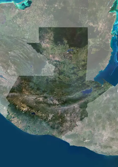
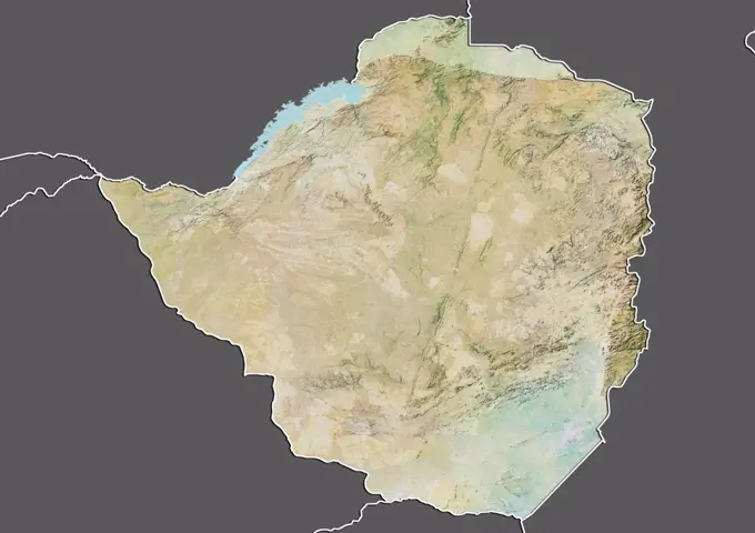
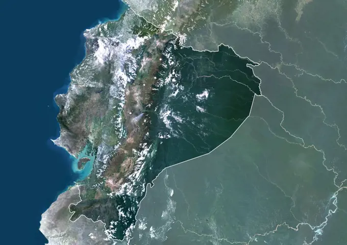
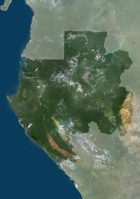
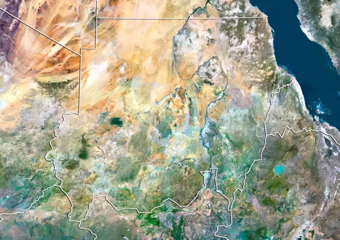
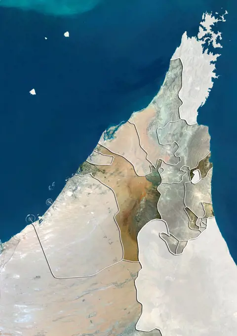
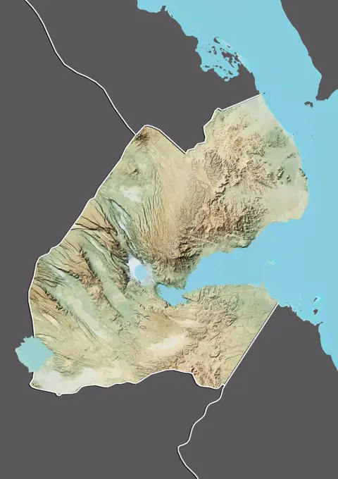
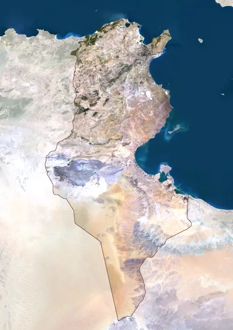
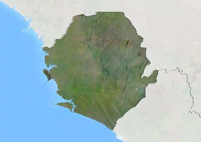
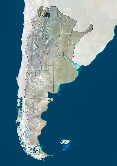
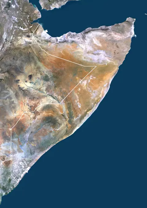
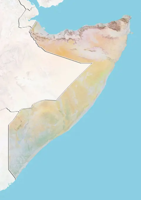
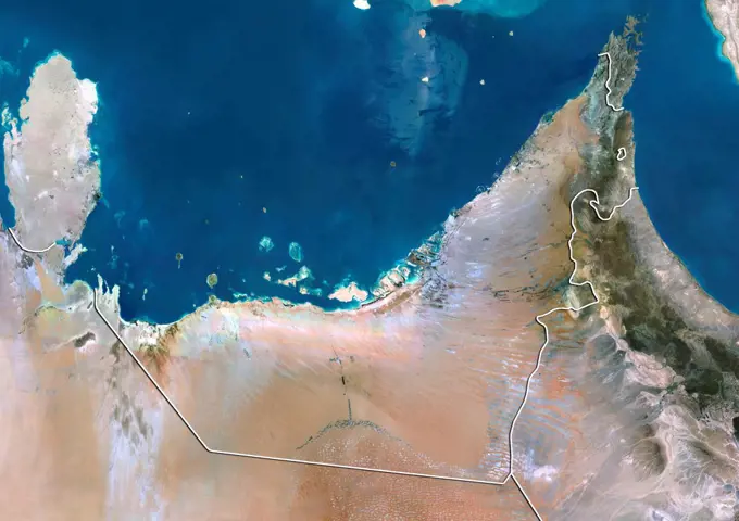
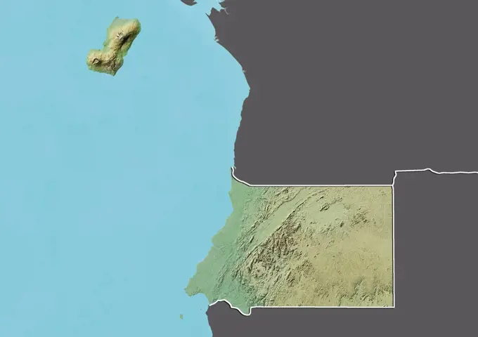
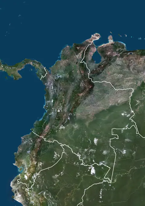
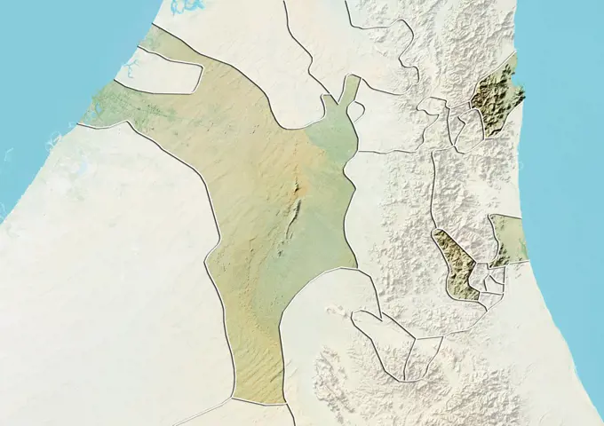
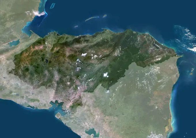
My Boards
View Pictures
  • My Boards
← Science

Satellite Images of African Regions

True-color satellite imagery of various African countries including Nigeria, Uganda, and Zimbabwe, showcasing geographic features and landscapes.

Color satellite image of Guatemala, with mask.
198 assets in this story
1899-35358
Nigeria, Africa, True Colour Satellite Image With Mask. Satellite view of Nigeria (with mask). This image was compiled from data acquired by LANDSAT 5 & 7 satellites.
1899-80349
Satellite view of Uganda (with border and mask). This image was compiled from data acquired by LANDSAT 5 & 7 satellites.
1899-66865
Relief map of Zimbabwe (with border and mask). This image was compiled from data acquired by landsat 5 & 7 satellites combined with elevation data.
1899-53517907
Color satellite image of Guatemala, with mask.
1899-80086
Satellite view of Morocco (with border and mask). This image was compiled from data acquired by LANDSAT 5 & 7 satellites.
1899-81040
Satellite view of Portugal with bump effect, showing the district of Vila Real. This image was compiled from data acquired by LANDSAT 5 & 7 satellites combined with elevation data.
1899-35052
Ecuador, South America, True Colour Satellite Image With Border And Mask. Satellite view of Ecuador (with border and mask). This image was compiled from data acquired by LANDSAT 5 & 7 satellites.
1899-21289752
Satellite view of Jordan (with country boundaries). This image was compiled from data acquired by Landsat 8 satellite in 2014.
1899-53517862
Color satellite image of Ethiopia and neighbouring countries, with borders.
1899-53517880
Color satellite image of Gabon, with mask.
1899-80278
Satellite view of Sudan (with border). This image was compiled from data acquired by LANDSAT 5 & 7 satellites.
1899-81184
Satellite view of the Emirate of Sharjah and Northern UAE. This image was compiled from data acquired by LANDSAT 5 & 7 satellites.
1899-81820
Relief map of the province of Hebei, China. This image was compiled from data acquired by LANDSAT 5 & 7 satellites combined with elevation data.
1899-66745
Relief map of Djibouti (with border and mask). This image was compiled from data acquired by landsat 5 & 7 satellites combined with elevation data.
1899-35919
Morocco, True Colour Satellite Image With Border. Morocco. True colour satellite image of Morocco, with border. The Strait of Gibraltar is at top center. The Mediterranean Sea is to the east of this strait, with the Atlantic Ocean to the west. This image was compiled from data acquired by LANDSAT 5 & 7 satellites.
1899-80419
Satellite view of Argentina showing the province of Cordoba. This image was compiled from data acquired by LANDSAT 5 & 7 satellites.
1899-81041
Satellite view of Portugal showing the district of Vila Real. This image was compiled from data acquired by LANDSAT 5 & 7 satellites.
1899-35935
Tunisia, True Colour Satellite Image With Mask And Border. Tunisia, true colour satellite image with mask and border. North is at top. Around forty-five percent of the country is composed of the Sahara desert, with much of the remainder consisting of particularly fertile soil, with easily accessible coasts. This image was compiled from data acquired by LANDSAT 5 & 7 satellites.
1899-81537
Relief map of Djibouti (with border and mask). This image was compiled from data acquired by landsat 5 & 7 satellites combined with elevation data.
1899-81724
Relief map of the State of Espirito Santo, Brazil. This image was compiled from data acquired by LANDSAT 5 & 7 satellites combined with elevation data.
1899-80315
Relief map of Tanzania (with border). This image was compiled from data acquired by LANDSAT 5 & 7 satellites combined with elevation data.
1899-53518159
Color satellite image of Republic of the Congo, with mask.
1899-80085
Satellite view of Morocco with Bump Effect (with border and mask). This image was compiled from data acquired by LANDSAT 5 & 7 satellites.
1899-35428
Yemen, Middle East, Asia, True Colour Satellite Image With Mask. Satellite view of Yemen (with mask). This image was compiled from data acquired by LANDSAT 5 & 7 satellites.
6145-44590270
This shaded relief image of Mexico's Yucatan Peninsula show a subtle, but unmistakable, indication of the Chicxulub impact crater. Most scientists now agree that this impact was the cause of the Cretatious-Tertiary Extinction.
1899-79766
Satellite view of Djibouti (with border). This image was compiled from data acquired by LANDSAT 5 & 7 satellites.
1899-80378
Relief map of Venezuela (with border). This image was compiled from data acquired by LANDSAT 5 & 7 satellites combined with elevation data.
1899-53518085
Color satellite image of Namibia, with mask.
1899-35342
Ethiopia, Africa, True Colour Satellite Image With Mask. Satellite view of Ethiopia (with mask). This image was compiled from data acquired by LANDSAT 5 & 7 satellites.
1899-35235
Sudan, Africa, True Colour Satellite Image With Border And Mask. Satellite view of Sudan (with border and mask). This image was compiled from data acquired by LANDSAT 5 & 7 satellites.
1899-81179
Relief map of the Emirate of Dubai and Northern UAE. This image was compiled from data acquired by LANDSAT 5 & 7 satellites combined with elevation data.
1899-53518302
Color satellite image of Venezuela, with mask.
1899-79962
Satellite view of Jordan (with border and mask). This image was compiled from data acquired by LANDSAT 5 & 7 satellites.
1899-80548
Satellite view of Brazil showing the State of Maranhao. This image was compiled from data acquired by LANDSAT 5 & 7 satellites.
1899-80449
Satellite view of Argentina showing the province of Rio Negro. This image was compiled from data acquired by LANDSAT 5 & 7 satellites.
1899-79899
Relief map of Honduras (with border and mask). This image was compiled from data acquired by landsat 5 & 7 satellites combined with elevation data.
1899-35145
United Arab Emirates, Middle East, Asia, True Colour Satellite Image With Border. Satellite view of United Arab Emirates (with border). This image was compiled from data acquired by LANDSAT 5 & 7 satellites.
1899-21289796
Satellite view of Mauritania, Senegal and Gambia (with country boundaries). This image was compiled from data acquired by Landsat 8 satellite in 2014.
1899-35213
Cameroon, Africa, True Colour Satellite Image With Border And Mask. Satellite view of Cameroon (with border and mask). This image was compiled from data acquired by LANDSAT 5 & 7 satellites.
1899-79685
Satellite view of Burundi (with border and mask). This image was compiled from data acquired by LANDSAT 5 & 7 satellites.
1899-66721
Relief map of Belize (with border and mask). This image was compiled from data acquired by landsat 5 & 7 satellites combined with elevation data.
1899-81670
Satellite view of the Northern Territory, Australia. This image was compiled from data acquired by LANDSAT 5 & 7 satellites.
1899-66713
Relief map of Angola (with border and mask). This image was compiled from data acquired by landsat 5 & 7 satellites combined with elevation data.
1899-81032
Satellite view of Portugal showing the district of Santarem. This image was compiled from data acquired by LANDSAT 5 & 7 satellites.
1899-80422
Satellite view of Argentina showing the province of Corrientes. This image was compiled from data acquired by LANDSAT 5 & 7 satellites.
1899-80396
Satellite view of Yemen (with border). This image was compiled from data acquired by LANDSAT 5 & 7 satellites.
1899-21289567
Satellite view of Bolivia (with country boundaries). This image was compiled from data acquired by Landsat satellites.
1899-35804
Indus Delta, Pakistan, True Colour Satellite Image. True colour satellite image of the Indus Delta in Pakistan. The Indus River flows into the Arabian Sea near Pakistan's port city of Karachi (top left on the image). The city of Hyderabad, located on the east bank of the Indus River, is on the top centre of the image. India is southeast of the Indus delta. Composite image using LANDSAT 7 data.
1899-35243
Mauritania, Africa, True Colour Satellite Image With Border And Mask. Satellite view of Mauritania (with border and mask). This image was compiled from data acquired by LANDSAT 5 & 7 satellites.
1899-53518261
Color satellite image of Tunisia, with mask.
1899-53517839
Color satellite image of Egypt, with mask.
1899-80580
Satellite view of Brazil showing the State of Sergipe. This image was compiled from data acquired by LANDSAT 5 & 7 satellites.
1899-80446
Satellite view of Argentina showing the province of Neuquen. This image was compiled from data acquired by LANDSAT 5 & 7 satellites.
1899-81004
Satellite view of Portugal with bump effect, showing the district of Castelo Branco. This image was compiled from data acquired by LANDSAT 5 & 7 satellites combined with elevation data.
1899-53518052
Color satellite image of Mauritania, with borders and mask.
1899-80003
Satellite view of Lebanon with Bump Effect (with border). This image was compiled from data acquired by LANDSAT 5 & 7 satellites.
1899-81009
Relief map of Portugal showing the district of Evora. This image was compiled from data acquired by LANDSAT 5 & 7 satellites combined with elevation data.
1899-79646
Relief map of Bolivia (with border). This image was compiled from data acquired by LANDSAT 5 & 7 satellites combined with elevation data.
1899-80234
Satellite view of Sierra Leone with Bump Effect (with border and mask). This image was compiled from data acquired by LANDSAT 5 & 7 satellites.
1899-80431
Satellite view of Argentina showing the province of Jujuy. This image was compiled from data acquired by LANDSAT 5 & 7 satellites.
1899-21289878
Satellite view of Peru (with country boundaries). This image was compiled from data acquired by Landsat satellites.
1899-35250
Somalia, Africa, True Colour Satellite Image With Border. Satellite view of Somalia (with border). This image was compiled from data acquired by LANDSAT 5 & 7 satellites.
1899-79958
Relief map of Jordan (with border and mask). This image was compiled from data acquired by landsat 5 & 7 satellites combined with elevation data.
1899-34630
Tunisia, True Colour Satellite Image With Mask. Tunisia, true colour satellite image with mask. North is at top. Around forty-five percent of the country is composed of the Sahara desert, with much of the remainder consisting of particularly fertile soil, with easily accessible coasts. This image was compiled from data acquired by LANDSAT 5 & 7 satellites.
1899-80252
Relief map of Somalia (with border and mask). This image was compiled from data acquired by landsat 5 & 7 satellites combined with elevation data.
1899-81177
Relief map of the United Arab Emirates with emirate boundaries. This image was compiled from data acquired by LANDSAT 5 & 7 satellites combined with elevation data.
1899-53518222
Color satellite image of Sudan, South Sudan and neighbouring countries, with borders.
1899-81006
Relief map of Portugal showing the district of Coimbra. This image was compiled from data acquired by LANDSAT 5 & 7 satellites combined with elevation data.
1899-80358
Satellite view of The United Arab Emirates (with border). This image was compiled from data acquired by LANDSAT 5 & 7 satellites.
1899-80564
Satellite view of Brazil showing the State of Piaui. This image was compiled from data acquired by LANDSAT 5 & 7 satellites.
1899-81544
Relief map of Equatorial Guinea (with border and mask). This image was compiled from data acquired by landsat 5 & 7 satellites combined with elevation data.
1899-53517794
Color satellite image of Colombia and Ecuador, and neighbouring countries, with borders.
1899-21289824
Satellite view of Nigeria (with country boundaries). This image was compiled from data acquired by Landsat satellites.
1899-81027
Relief map of Portugal showing the district of Porto. This image was compiled from data acquired by LANDSAT 5 & 7 satellites combined with elevation data.
1899-35394
Venezuela, South America, True Colour Satellite Image With Mask. Satellite view of Venezuela (with mask). This image was compiled from data acquired by LANDSAT 5 & 7 satellites.
1899-53518086
Color satellite image of Namibia, with borders and mask.
1899-80181
Satellite view of Portugal (with border). This image was compiled from data acquired by LANDSAT 5 & 7 satellites.
1899-53518158
Color satellite image of Republic of the Congo, with borders and mask.
1899-53518117
Color satellite image of Oman and neighbouring countries.
1899-82194
Relief map of the Emirate of Sharjah, United Arab Emirates. This image was compiled from data acquired by LANDSAT 5 & 7 satellites combined with elevation data.
1899-53518077
Color satellite image of Mozambique, with borders and mask.
1899-35252
Gabon, Africa, True Colour Satellite Image With Border. Satellite view of Gabon (with border). This image was compiled from data acquired by LANDSAT 5 & 7 satellites.
1899-81176
Satellite view of the United Arab Emirates showing the Emirate of Sharjah. This image was compiled from data acquired by LANDSAT 5 & 7 satellites.
1899-53518200
Color satellite image of Somalia and neighbouring countries, with borders.
1899-53518251
Color satellite image of Thailand and neighbouring countries.
1899-80546
Satellite view of Brazil showing the State of Goias. This image was compiled from data acquired by LANDSAT 5 & 7 satellites.
1899-21289500
Satellite view of the Emirate of Abu Dhabi, United Arab Emirates (with country boundaries). This image was compiled from data acquired by Landsat 8 satellite in 2014.
1899-81575
Relief map of Kenya (with border and mask). This image was compiled from data acquired by landsat 5 & 7 satellites combined with elevation data.
1899-53518137
Color satellite image of Peru and neighbouring countries.
1899-80568
Satellite view of Brazil showing the State of Rio Grande do Norte. This image was compiled from data acquired by LANDSAT 5 & 7 satellites.
1899-79568
Relief map of Algeria (with border). This image was compiled from data acquired by LANDSAT 5 & 7 satellites combined with elevation data.
1899-35244
Mozambique, Africa, True Colour Satellite Image With Border. Satellite view of Mozambique (with border). This image was compiled from data acquired by LANDSAT 5 & 7 satellites.
1899-21289846
Satellite view of Northern South America (with country boundaries). This image was compiled from data acquired by Landsat 7 & 8 satellites.
1899-79761
Relief map of Djibouti (with border and mask). This image was compiled from data acquired by landsat 5 & 7 satellites combined with elevation data.
1899-80281
Satellite view of Suriname with Bump Effect (with border and mask). This image was compiled from data acquired by LANDSAT 5 & 7 satellites.
1899-35386
Honduras, Central America, True Colour Satellite Image With Mask. Satellite view of Honduras (with mask). This image was compiled from data acquired by LANDSAT 5 & 7 satellites.
1899-53517682
Color satellite image of Angola, with borders and mask.
1899-80570
Satellite view of Brazil showing the State of Rio Grande do Sul. This image was compiled from data acquired by LANDSAT 5 & 7 satellites.
1899-80016
Relief map of Libya (with border and mask). This image was compiled from data acquired by landsat 5 & 7 satellites combined with elevation data.
1899-80347
Relief map of Uganda (with border and mask). This image was compiled from data acquired by landsat 5 & 7 satellites combined with elevation data.
PREVIOUS
of 2
NEXT
2401 S. Ervay, Suite 206
Dallas, Texas 75215
United States
Get Started
Free ResearchMy BoardsMy Cart
For Creators
How To License Your ContentContributor PortalFrame of Mind
Resources
API accessPricing
Contact
+1 866 236 0087help@viewpictures.co.uk Contact form
©2026 View Pictures. All Rights Reserved. -B
This site is protected by reCAPTCHA and Google Privacy Policy and Terms of Service apply.