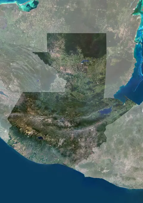
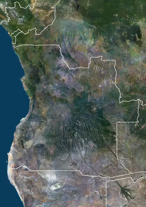
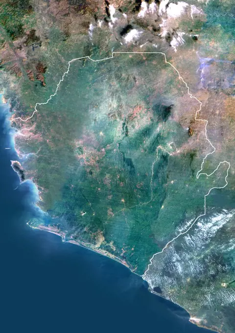
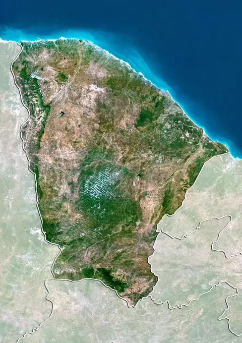
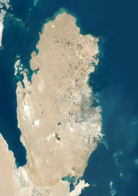
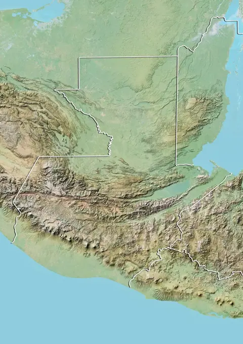
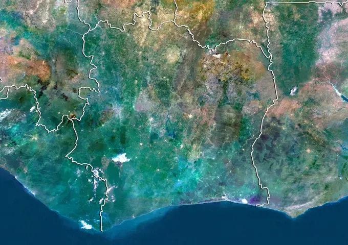
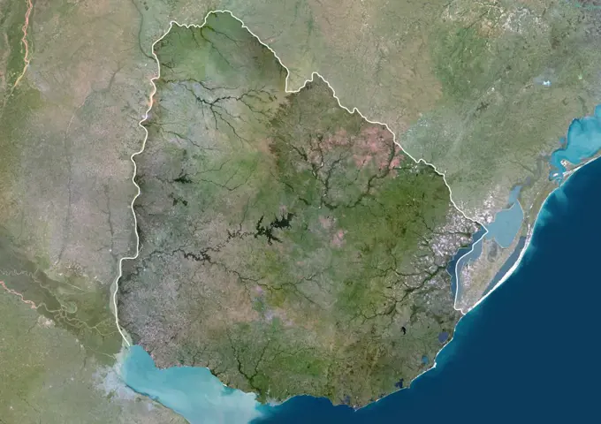
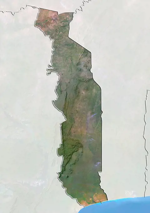
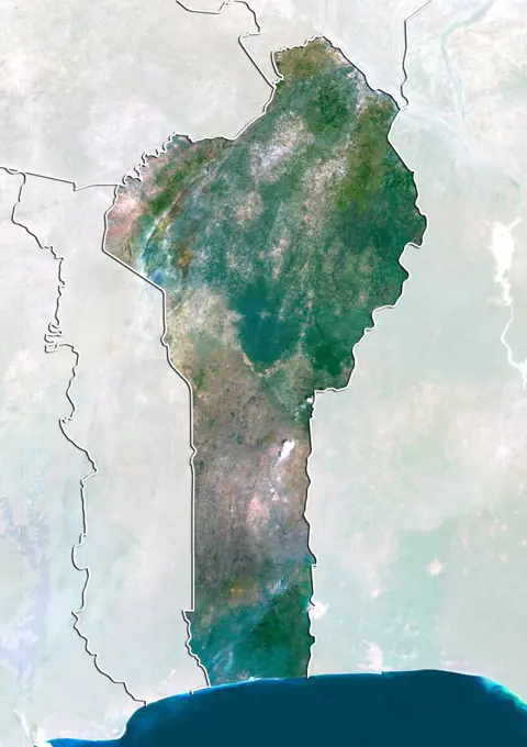
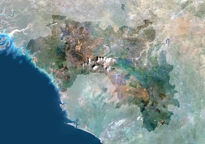
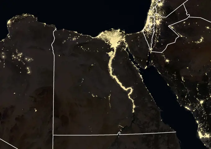
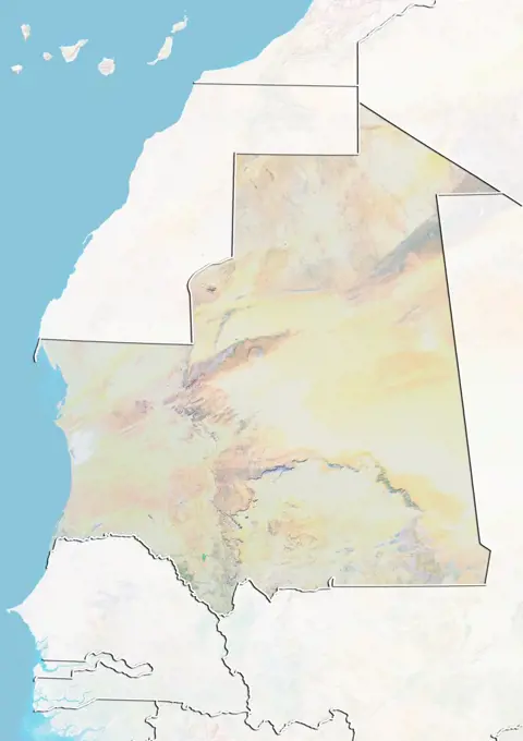
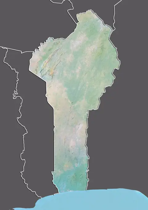
Satellite Images of African Regions

True-color satellite imagery of various African countries including Nigeria, Uganda, and Zimbabwe, showcasing geographic features and landscapes.

Color satellite image of Guatemala, with mask.
Color satellite image of French Guyana and neighbouring countries, with borders.SL3-122-2621 (July-September 1973) --- Skylab 3 Earth view of the Dead Sea, Israel, Jordan River and Sea of Galilee.Portugal, True Colour Satellite Image With Mask And Border. Portugal. True colour satellite image of Portugal with mask and border. North is at top. Lisbon (Lisboa), the capital of Portugal, lies on the north side of the northernmost inlet at lower left. The Atlantic Ocean is seen to the west. The image used data from LANDSAT 5 & 7 satellites.Relief map of Catalonia, Spain. This image was compiled from data acquired by LANDSAT 5 & 7 satellites combined with elevation data.Color satellite image of Angola and neighbouring countries, with borders.Satellite view of Spain showing the region of Asturias. This image was compiled from data acquired by LANDSAT 5 & 7 satellites.Satellite image showing the Sinai and Negev regios and the shrinking of the Dead Sea in Israel. 2014Color satellite image of Saudi Arabia and neighbouring countries.Sierra Leone, Africa, True Colour Satellite Image With Border. Satellite view of Sierra Leone (with border). This image was compiled from data acquired by LANDSAT 5 & 7 satellites.Relief map of the State of Alagoas, Brazil. This image was compiled from data acquired by LANDSAT 5 & 7 satellites combined with elevation data.Satellite view of the State of Ceara, Brazil. This image was compiled from data acquired by LANDSAT 5 & 7 satellites.Satellite view of Spain showing the region of Madrid. This image was compiled from data acquired by LANDSAT 5 & 7 satellites.Color satellite image of Qatar, with mask.Relief map of Jordan (with border and mask). This image was compiled from data acquired by landsat 5 & 7 satellites combined with elevation data.Relief map of Uganda (with border). This image was compiled from data acquired by LANDSAT 5 & 7 satellites combined with elevation data.Satellite view of Spain showing the region of Castile and Leon. This image was compiled from data acquired by LANDSAT 5 & 7 satellites.Satellite view of El Salvador with Bump Effect (with border). This image was compiled from data acquired by LANDSAT 5 & 7 satellites.Color satellite image of Syria, with borders.Satellite view of Argentina with bump effect, showing the province of San Luis. This image was compiled from data acquired by LANDSAT 5 & 7 satellites combined with elevation data.Dead Sea, Israel, Jordan, True Colour Satellite Image. The Dead Sea, Israel, Jordan, true colour satellite image. The Dead Sea and sedimentation tanks in turquoise. Image taken on 14 August 1987 using LANDSAT data.(October 1984) --- Parts of Israel, Lebanon, Palestine, Syria and Jordan and part of the Mediterranean Sea are seen in this nearly-vertical, large format camera's view from the Earth-orbiting Space Shuttle Challenger.  The Sea of Galilee is at center frame and the Dead Sea at bottom center.  The frame's center coordinates are 32.5 degrees north latitude and 35.5 degrees east longitude.  A Linhof camera, using 4' x 5' film, was used to expose the frame through one of the windows on Challenger's aft flight deck.Satellite view of Iran (with border and mask). This image was compiled from data acquired by LANDSAT 5 & 7 satellites.Satellite view of the Arabian Peninsula (with country boundaries). This image was compiled from data acquired in 2014 by Landsat 8 satellite.Color satellite image of Cameroon, with borders and mask.Satellite view of the Emirate of Sharjah, United Arab Emirates. This image was compiled from data acquired by LANDSAT 5 & 7 satellites.NASA's MISR instrument onbard NASA's Terra spacecraft captured a stereo view of Mountain Fire near Idyllwild, Calif. in July, 2013.Satellite view of the State of Rio Grande do Sul, Brazil. This image was compiled from data acquired by LANDSAT 5 & 7 satellites.Satellite view of South Africa (with border and mask). This image was compiled from data acquired by LANDSAT 5 & 7 satellites.Relief map of the region of Tohoku, Japan. This image was compiled from data acquired by LANDSAT 5 & 7 satellites combined with elevation data.Chile And Argentina, True Colour Satellite Image. Chile & Argentina, true colour satellite image. This image was compiled from data acquired by LANDSAT 5 & 7 satellites.Satellite view of Algeria (with border and mask). This image was compiled from data acquired by LANDSAT 5 & 7 satellites.Satellite view of earth shows glaciers from the NSIDC World Glacier Inventory (in orange) that occur in mountainous regions, even in the tropical regions of South AmericaColor satellite image of Guatemala and neighbouring countries, with borders.Argentina, South America, True Colour Satellite Image With Mask. Satellite view of Argentina (with mask). This image was compiled from data acquired by LANDSAT 5 & 7 satellites.Color satellite image of Oman, with borders and mask.Satellite view of Democratic Republic of Congo (with border and mask). This image was compiled from data acquired by LANDSAT 5 & 7 satellites.Relief map of the State of Western Australia, Australia. This image was compiled from data acquired by LANDSAT 5 & 7 satellites combined with elevation data.Satellite view of Qatar and Bahrain (with country boundaries). This image was compiled from data acquired by Landsat 8 satellite in 2014.Vertical Earth Observation taken by the Apollo 9 crew. View is of Peru and South America including Aguja Point and Piura. Film magazine was E,film type was SO-368 Ektachrome with 0.460 - 0.710 micrometers film / filter transmittance response and haze filter,80mm lens. Latitude was 5.35 S by Longitude 81.05 W, Overlap was 0%, Altitude miles were 125 and cloud cover was 20%.Satellite view of Argentina with bump effect, showing the province of La Rioja. This image was compiled from data acquired by LANDSAT 5 & 7 satellites combined with elevation data.Satellite view of Argentina (with border and mask). This image was compiled from data acquired by LANDSAT 5 & 7 satellites.Relief map of Kenya (with border). This image was compiled from data acquired by LANDSAT 5 & 7 satellites combined with elevation data.Satellite view of El Salvador (with country boundaries). This image was compiled from data acquired by Landsat satellites.Color satellite image of Algeria, with borders and mask.Colour satellite image of Mogadishu, Somalia. Image taken on March 20, 2014 with Landsat 8 data. The Golfo San Jorge in southern Argentina is pictured from the International Space Station as it orbited 270 miles above the South American nation.Brazil, True Colour Satellite Image With Mask. Brazil, true colour satellite image with mask This image was compiled from data acquired by LANDSAT 5 & 7 satellites.Chile, South America, True Colour Satellite Image With Border And Mask. Satellite view of Chile (with border and mask). This image was compiled from data acquired by LANDSAT 5 & 7 satellites.Congo, Africa, True Colour Satellite Image With Border. Satellite view of the Congo - Brazzaville (with border). This image was compiled from data acquired by LANDSAT 5 & 7 satellites.Relief map of Brazil showing the State of Amapa. This image was compiled from data acquired by LANDSAT 5 & 7 satellites combined with elevation data.Color satellite image of Argentina, with borders and mask.Relief map of Israel (with border). This image was compiled from data acquired by LANDSAT 5 & 7 satellites combined with elevation data.Relief map of Guatemala (with border). This image was compiled from data acquired by LANDSAT 5 & 7 satellites combined with elevation data.Relief map of Mauritania (with border and mask). This image was compiled from data acquired by landsat 5 & 7 satellites combined with elevation data.Egypt and the Nile at night in 2012. This satellite image with country borders shows urban and industrial lights. Relief map of Namibia (with border). This image was compiled from data acquired by LANDSAT 5 & 7 satellites combined with elevation data.Color satellite image of Saudi Arabia, with mask.Relief map of the district of Aveiro, Portugal. This image was compiled from data acquired by LANDSAT 5 & 7 satellites combined with elevation data.Color satellite image of Ghana and neighbouring countries.Brightness variations in the terrain along a portion of southwestern Africa are displayed in these views from NASA's Terra spacecraft.Relief map of Somalia (with border and mask). This image was compiled from data acquired by landsat 5 & 7 satellites combined with elevation data.Satellite image of the Dead Sea between Israel and Jordan, January 2003.Satellite view of Israel (with border). This image was compiled from data acquired by LANDSAT 5 & 7 satellites.Relief map of Brazil showing the State of Para. This image was compiled from data acquired by LANDSAT 5 & 7 satellites combined with elevation data.Satellite view of Ivory Coast (with border). This image was compiled from data acquired by LANDSAT 5 & 7 satellites.ISS018-E-005058 (24 Oct. 2008) --- Southern California's coastline, from southern Los Angeles to Tijuana in Mexico, a distance of about 225 kilometers, is featured in this image photographed by an Expedition 18 crewmember on the International Space Station. Port facilities of Los Angeles Harbor give much detail to the coastline at the north end and arcuate San Diego Bay is highly recognizable at the south end (right bottom). The image includes much of one of the most densely populated parts of the USA, with approximately 20 million people within the parts of five counties shown here. The dense urban areas appear gray, with the largest conurbation in the north of the view, in the region Long Beach--Los Angeles--San Bernardino. A smaller zone appears around San Diego--Tijuana in the south. Major highways with their associated strip development snake through these dense urban areas. The geography and geomorphology of Southern California is defined by long linear features that are surface Oil Fires in Iraq Seen by MODISIvory Coast, Africa, True Colour Satellite Image With Mask. Satellite view of the Ivory Coast (with mask). This image was compiled from data acquired by LANDSAT 5 & 7 satellites.The Nile River was captured by NASA's Terra satellite on January 30, 2001 (Terra orbit 5956). The Nile is the longest river in the world.Relief map of Western Sahara (with border and mask). This image was compiled from data acquired by landsat 5 & 7 satellites combined with elevation data.Satellite view of Ghana (with country boundaries). This image was compiled from data acquired by Landsat satellites.Satellite view of Argentina with bump effect, showing the province of Chaco. This image was compiled from data acquired by LANDSAT 5 & 7 satellites combined with elevation data.iss064e051072 (March 31, 2021) --- The Aral Sea, which has been shrinking since the 1960's due to agricultural activity, stretches from Uzbekistan in the south to Kazakhstan in the north and was pictured from the International Space Station as it orbited 264 miles above.Uruguay, South America, True Colour Satellite Image With Border And Mask. Satellite view of Uruguay (with border and mask). This image was compiled from data acquired by LANDSAT 5 & 7 satellites.Relief map of Western Sahara (with border and mask). This image was compiled from data acquired by landsat 5 & 7 satellites combined with elevation data.Relief map of the district of Porto, Portugal. This image was compiled from data acquired by LANDSAT 5 & 7 satellites combined with elevation data.Satellite view of Togo with Bump Effect (with border and mask). This image was compiled from data acquired by LANDSAT 5 & 7 satellites.Relief map of Iraq (with border and mask). This image was compiled from data acquired by landsat 5 & 7 satellites combined with elevation data.Relief map of El Salvador (with border). This image was compiled from data acquired by LANDSAT 5 & 7 satellites combined with elevation data.Satellite view of Benin (with border and mask). This image was compiled from data acquired by LANDSAT 5 & 7 satellites.Guinea, Africa, True Colour Satellite Image With Mask. Satellite view of Guinea (with mask). This image was compiled from data acquired by LANDSAT 5 & 7 satellites.A scanning electron micrograph image shows a polarized EPR monolayer on a biodegradable scaffold. The image is accelerated to highlight the scaffold in blue, three RPE cells (brown) and the apical process of RPE monolayer cells are light green.Color satellite image of intensive farming in Almeria, Spain between 1986 and 2022. The images show how the "plastic sea" formed by greenhouses has expanded.Color satellite image of South Africa, with borders and mask.Relief map of Togo (with border and mask). This image was compiled from data acquired by landsat 5 & 7 satellites combined with elevation data.Relief map of Lebanon (with border and mask). This image was compiled from data acquired by landsat 5 & 7 satellites combined with elevation data.Satellite view of Ontario, Canada. This image was compiled from data acquired by LANDSAT 5 & 7 satellites.June 5, 2003 - Satellite view of a dust storm in Libya. Egypt at night in 2012. This satellite image with country borders shows urban and industrial lights. NASA satellite image showing the fires in Bastrop County Texas on September 5, 2011 at 17 05 UTC.Satellite view of Mexico with state boundaries. This image was compiled from data acquired by LANDSAT 5 & 7 satellites.Relief map of Argentina showing the province of Chaco. This image was compiled from data acquired by LANDSAT 5 & 7 satellites combined with elevation data.This image from NASA's Terra satellite in August, 2000, shows the northern tip of the Red Sea, the Gulf of Suez and the Gulf of Aqaba frame the sandy deserts and spectacular mountains of the Sinai Peninsula.Relief map of Mauritania (with border and mask). This image was compiled from data acquired by landsat 5 & 7 satellites combined with elevation data.Satellite, landscape and map with Earth and city, geography or topography abstract with location and aerospace. Empty urban terrain, environment and navigation with land, aerial view and textureRelief map of Benin (with border and mask). This image was compiled from data acquired by landsat 5 & 7 satellites combined with elevation data.Australia, vintage engraved illustration. Jules Verne Mistress Branican, 1891.Karte von Chile mit Anzeiger für Vulkan - Map of Chile with volcano locator Karte von Chile mit Anzeiger für Vulkan - Map of Chile with volcano locator Copyright: xZoonar.com/lantapixx 14352026